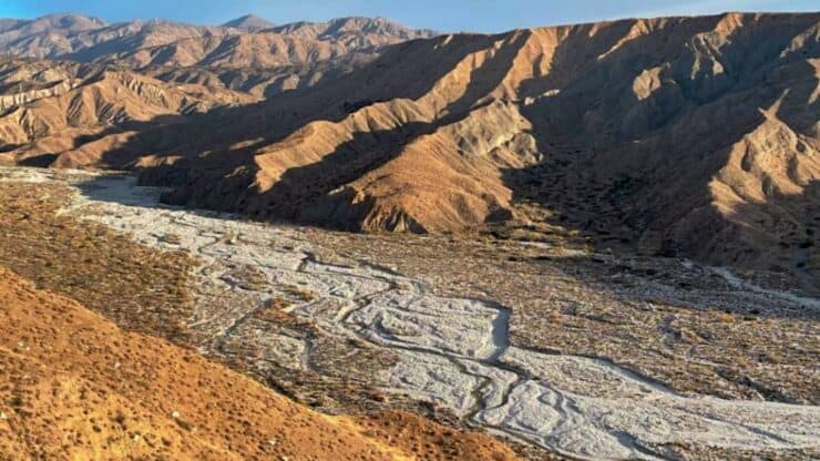

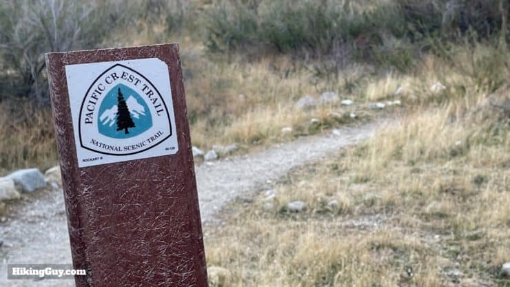
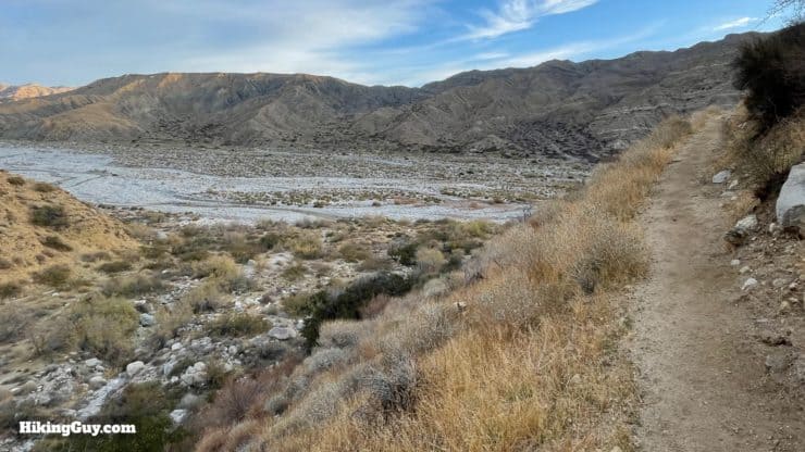
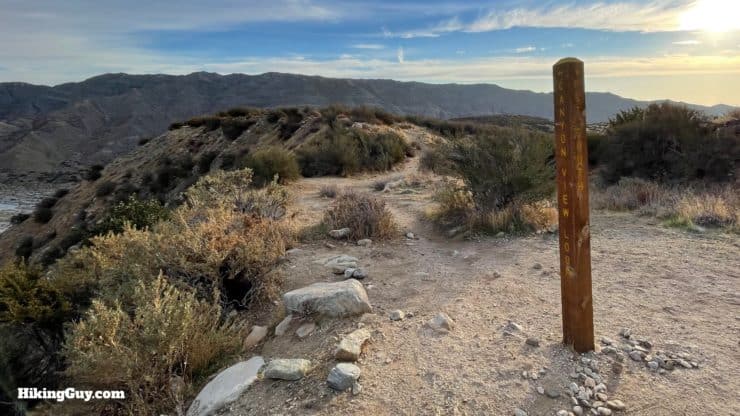
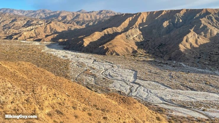
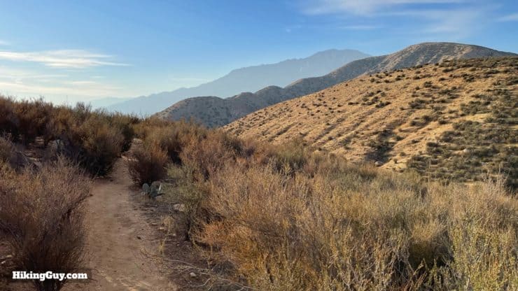
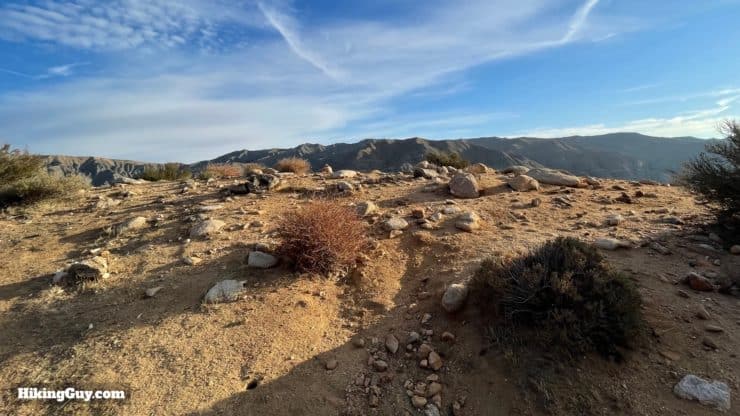
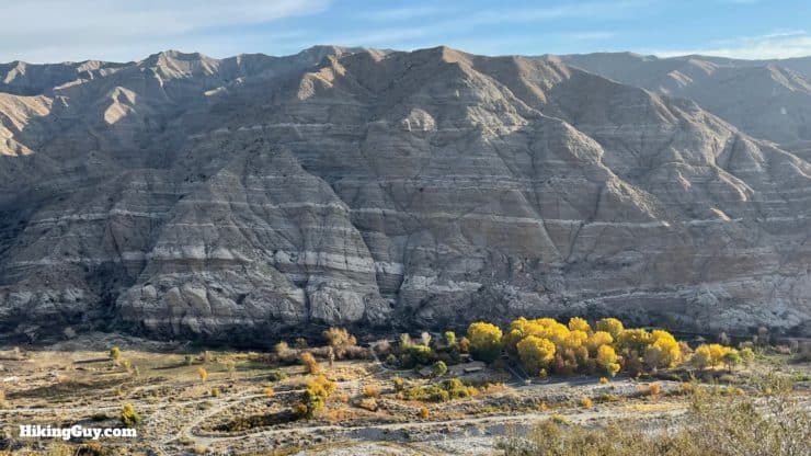
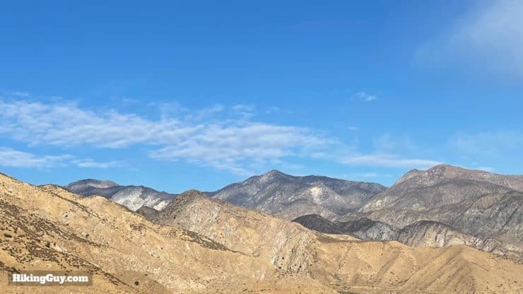
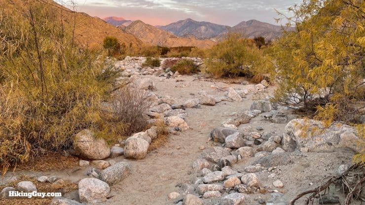
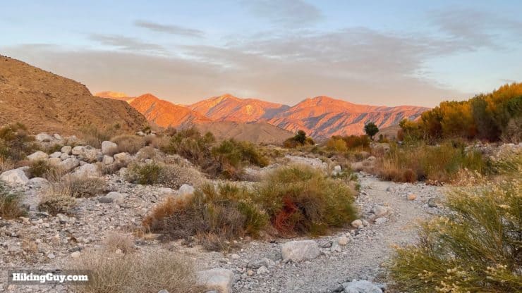
One of my favorite hikes, the Canyon View Loop Trail at the Whitewater Preserve, between Palm Springs and Joshua Tree, offers beauty at every twist and turn. The well-marked trail follows the Whitewater River Canyon until it reaches the iconic PCT and then climbs up to a bluff that offers non-stop views into the canyon and high peaks of the San Gorgonio Wilderness Area. It's a hike that's worth making a trip for, so give it a try.
- Video and Turn-by-Turn Canyon View Loop Trail Directions
- Getting to the Trailhead in Whitewater Preserve
- Insider Hike Tips for the Canyon View Loop Trail
Where is Whitewater Preserve?
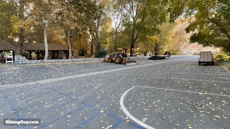
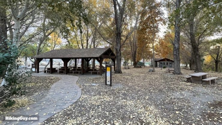
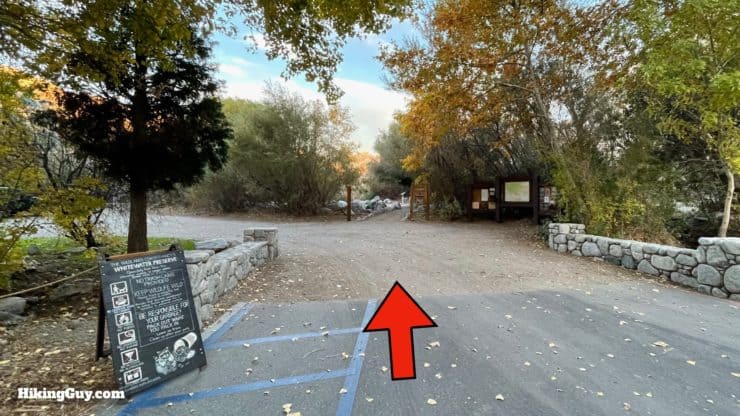
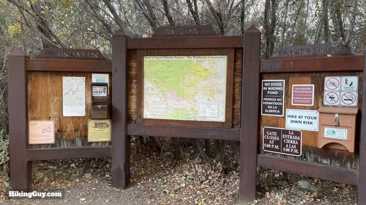
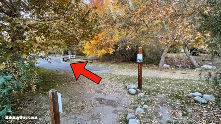
Whitewater Preserve is a few miles up the Whitewater River from Interstate 10. The hike starts from the visitor's center area, which also offers bathrooms and picnic tables. Unlike most hikes where you can show up and hike whenever you want, Whitewater Preserve usually has opening hours and is closed some days to give the wildlife some space. Check the link at the beginning of the guide to confirm the hours.
Use this trailhead address:
Whitewater Preserve, 9160 Whitewater Canyon Rd, Whitewater, CA 92282
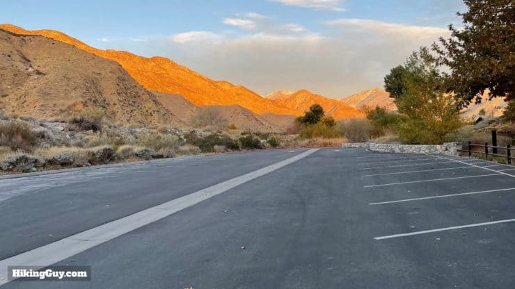
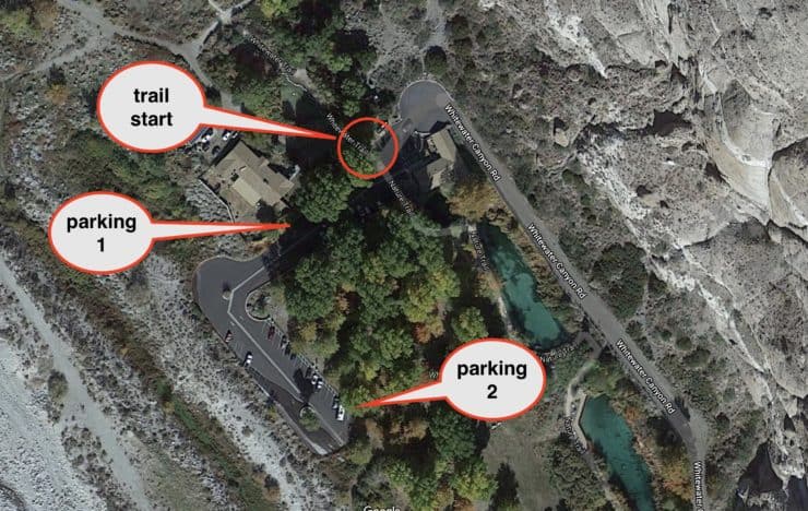
If you park in the lot, take note of the closing time. The gates are locked and you may be stuck in there.
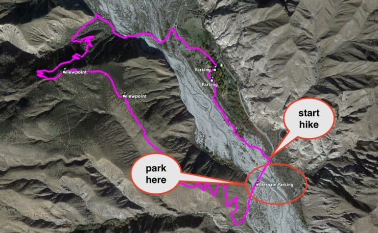
Whitewater Preserve Alternate Parking
There are times when the Whitewater Preserve visitor's area is closed, but the trails are still open. Again, check the link at the top of this guide for the specifics. When this is the case, you can't park at the main lots and have to start the loop hike downs the road from the visitor's center.
Gear for the Hike
This hike is in the desert, and in the summer, it can get very hot. I recommend going early or in a cooler season and still bringing some sun protection. Bring at least 1L of water for the loop hike. The trail is sandy in places but otherwise very well manicured. I use light hiking gear, but you can get away with fitness clothing.
Gear That I Love Right Now
Nothing is sponsored or promoted, just the actual gear that I use.


Check out the complete list here. ( Updated October 2024)
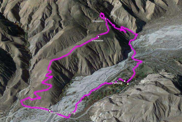
Whitewater Preserve Canyon View Loop Trail Maps
How Will You Navigate?
 Using the Apple Watch for Hiking
 Garmin Fenix 7 & Epix Review For Hikers
 How To Read a Topographic Map
 Garmin GPSMAP 67i Review
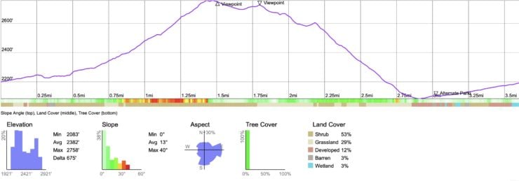
Elevation Profile
3d Map
Hike Brief
- The Whitewater Preserve is home to endangered peninsular bighorn sheep, bears, coyotes, and mountain lions. Generally you won't see any of these animals, but occasionally, if you keep your eyes open on the hills above you, you may spot a bighorn.
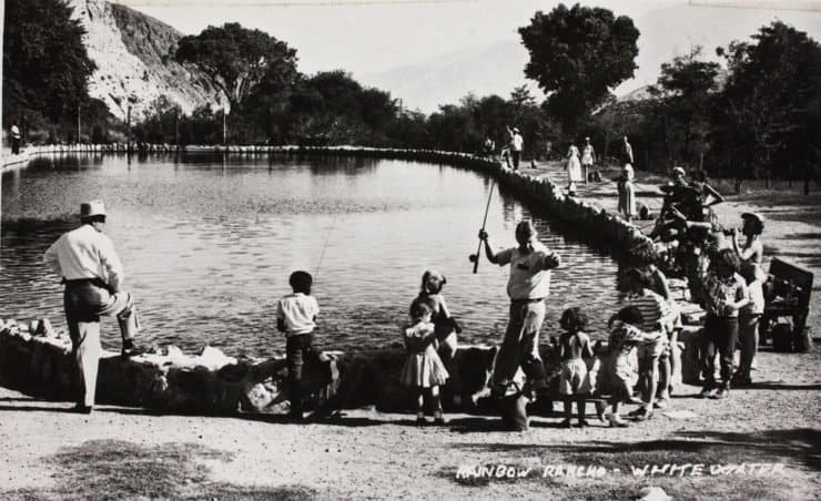
- In order to return the land back to its original state, the Wildlands Conservancy has removed old buildings, roads, non-native plants, and has restored the river from a muddy cattle bog to the crystal clear water you see today.
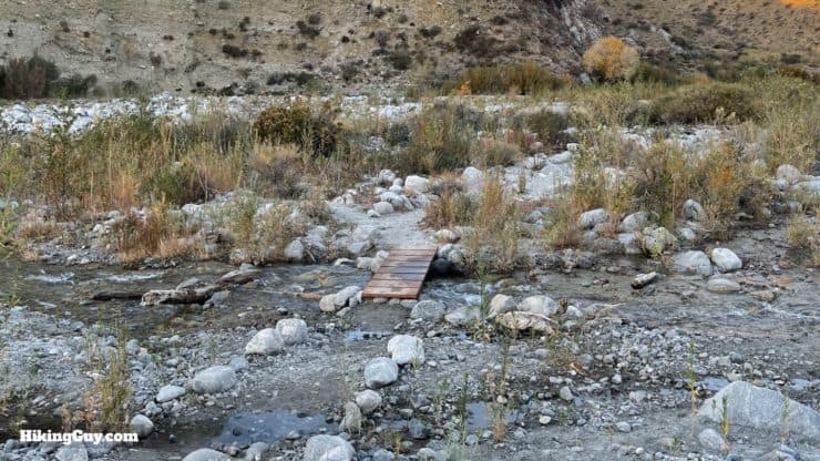
- The Whitewater River, which you follow on the hike, starts high in the mountains and flows down to Palm Springs. When it's flooded and raging, the river sometimes flows out into the Salton Sea. Generally the area is closed when flooded, but even the "normal" river levels can be deadly. There is a death from being swept away in the river every few years. Enter the water with extreme caution, if at all.
- PCT thru-hikers often make the short detour to camp at the Whitewater Preserve visitor's center area.
- The Sand to Snow National Monument, which this hike is located in, was inspired by the Wildlands Conservancy's Sand to Snow Interface Project.
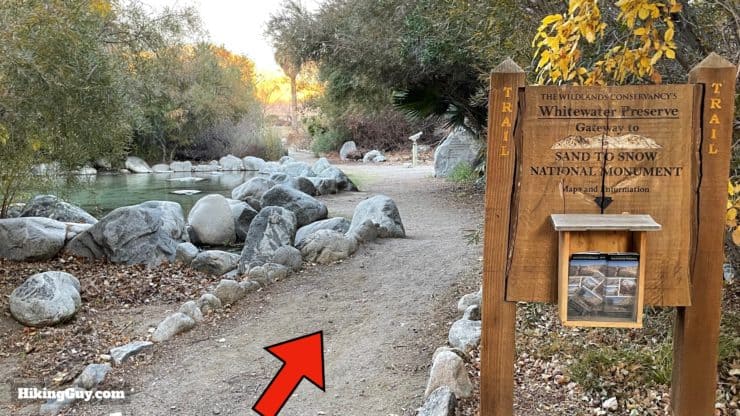
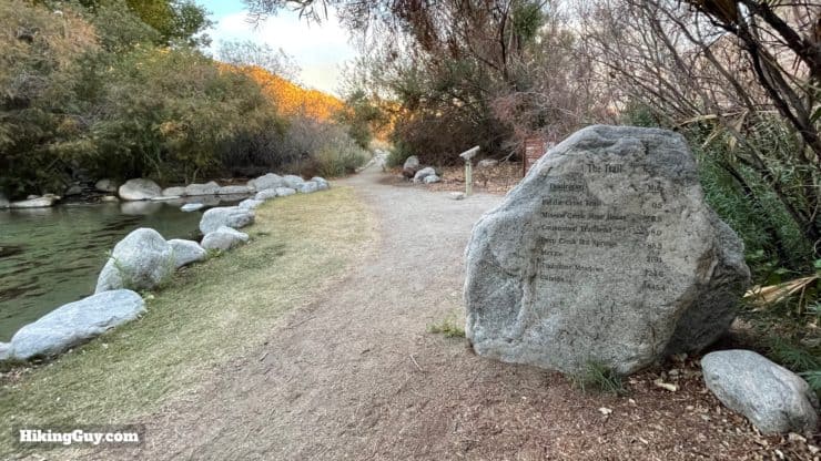
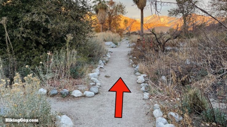
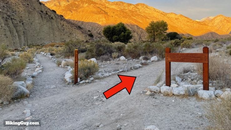
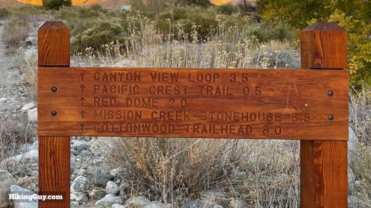
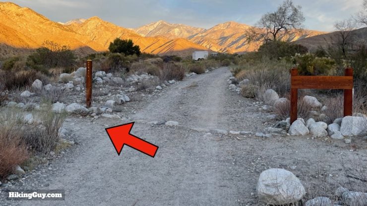
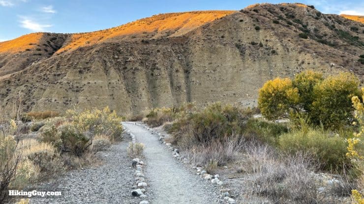
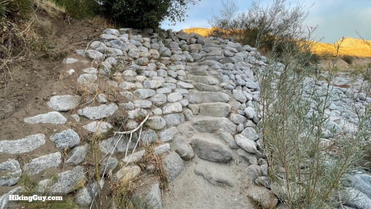
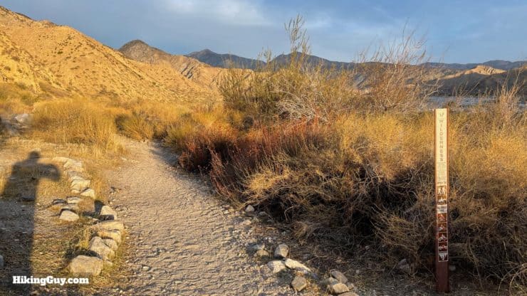
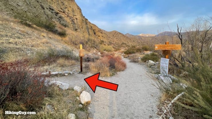
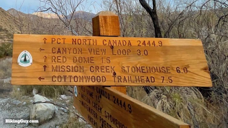
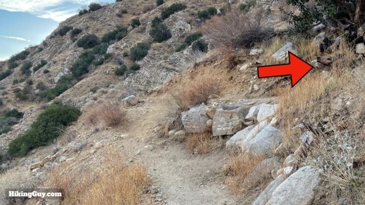
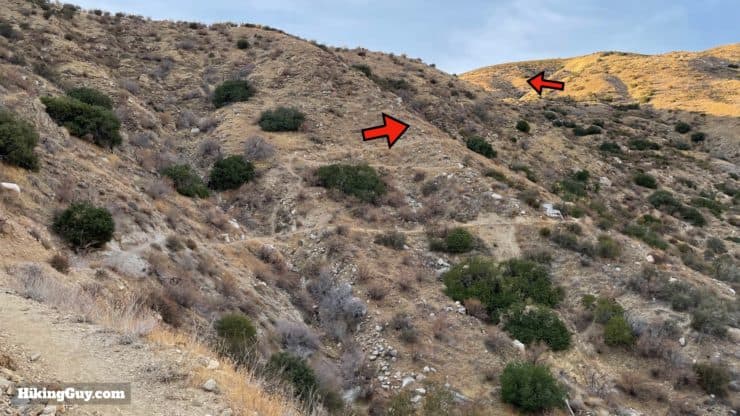
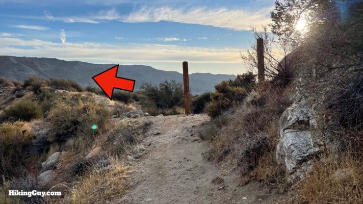
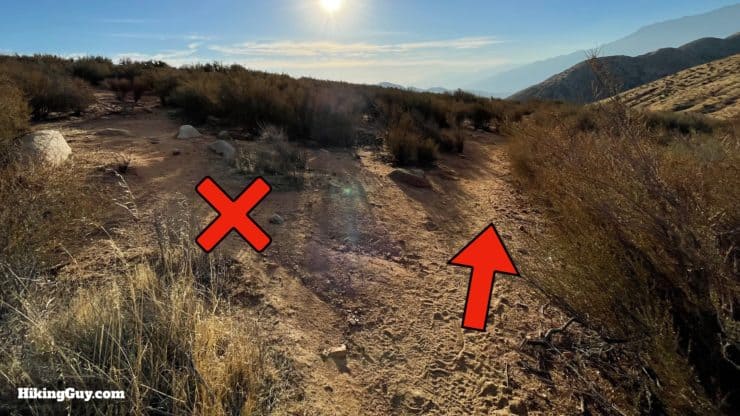
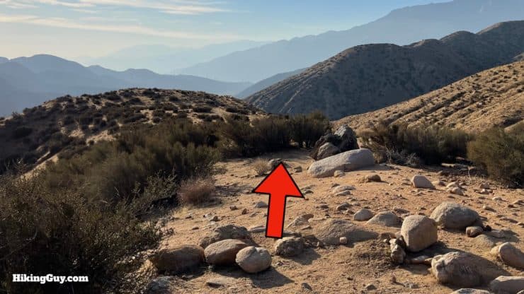
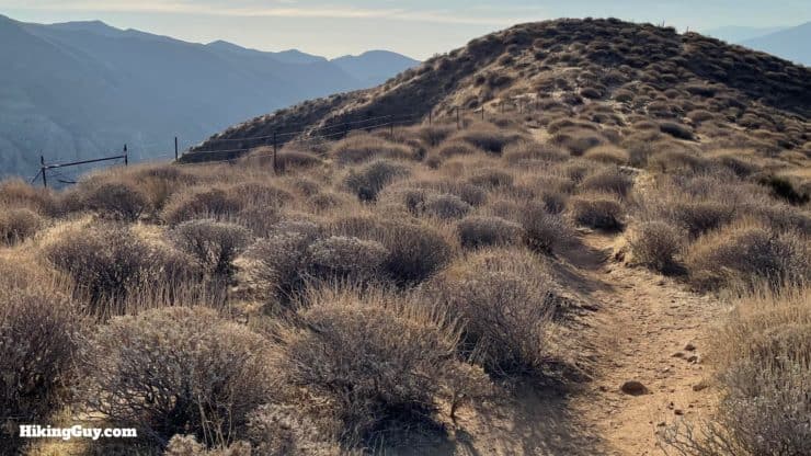
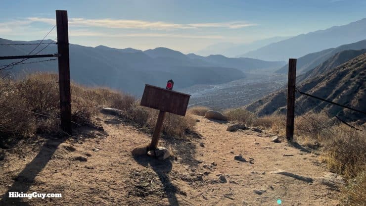
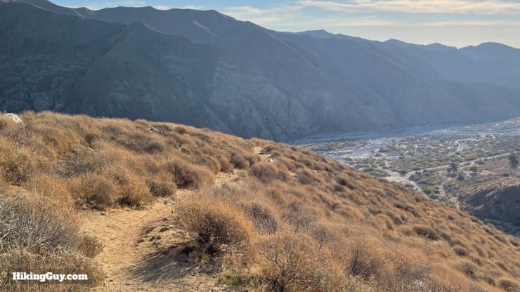
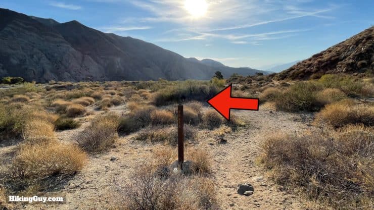
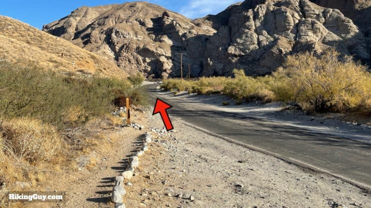
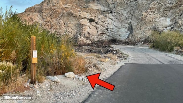
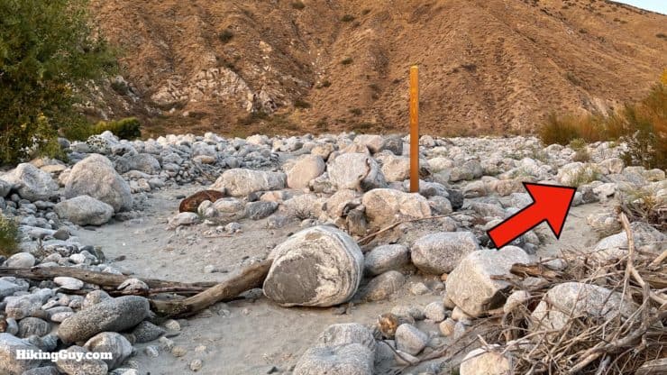
Whitewater Preserve Hike Directions
Need More Info?
- Have a question about the guide? Join my Patreon and ask me a question.
- When planning, always check the park website and social media to make sure the trails are open. Similarly, check the weather and road conditions.
- Do you have an update to this guide? View the Youtube comments for this video. Leave a comment and I will do my best to update the guide.
Related Guides
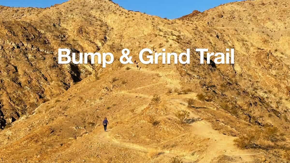 Bump and Grind Trail Guide (Palm Desert)
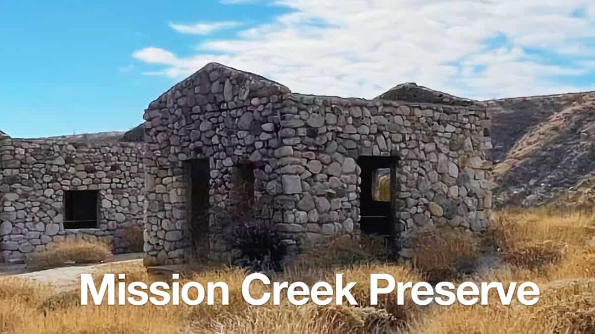 Mission Creek Preserve Hike
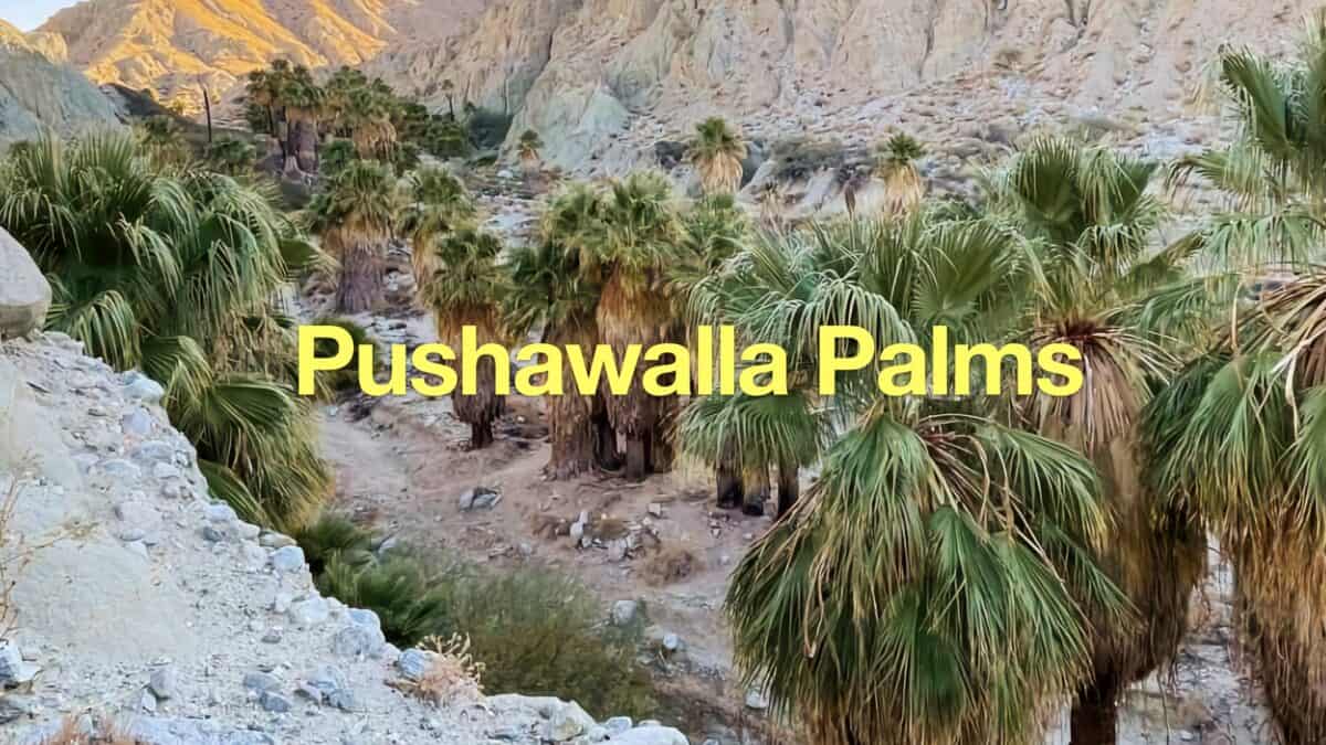 Pushawalla Palms Trail Loop
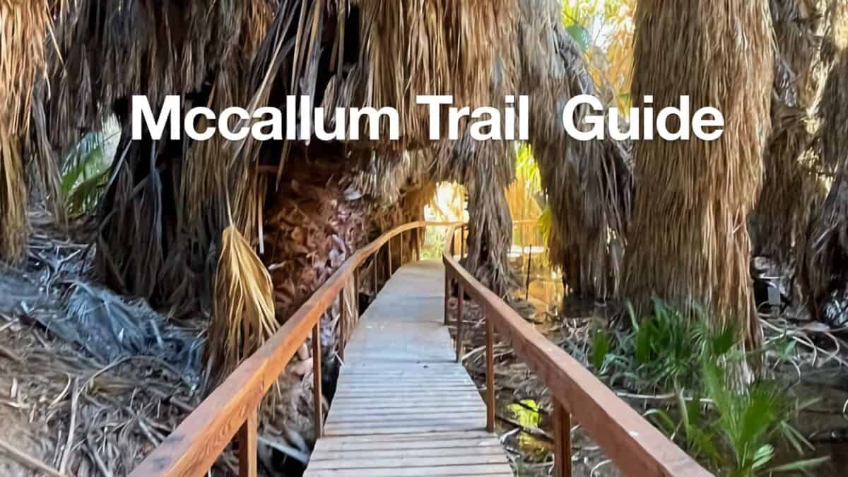 McCallum Trail Hike Guide
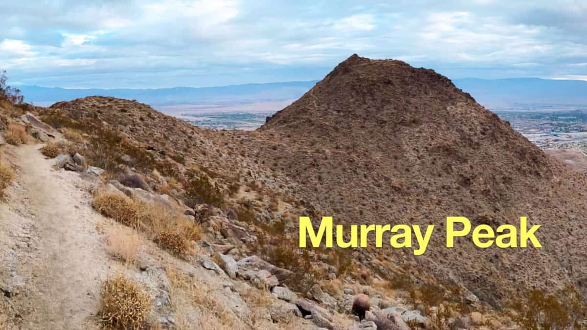 Murray Peak Hike (Palm Springs)
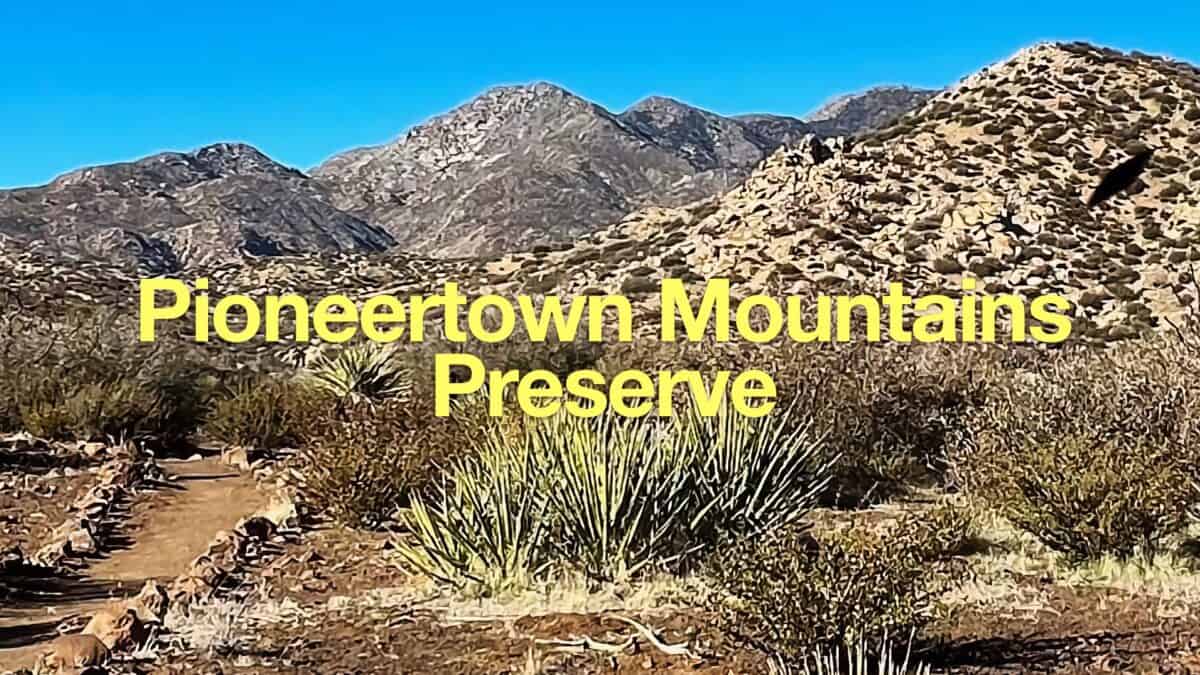 Hike Indian Loop Trail at Pioneertown Mountains Preserve
 Palm Springs Hiking Trails
 Hikes In and Around Riverside County
 San Bernardino National Forest Hiking Trails
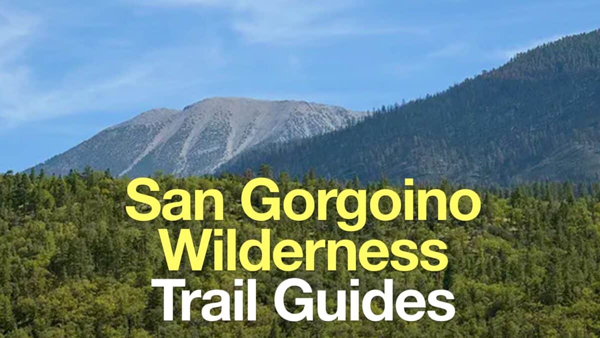 San Gorgonio Wilderness Hikes
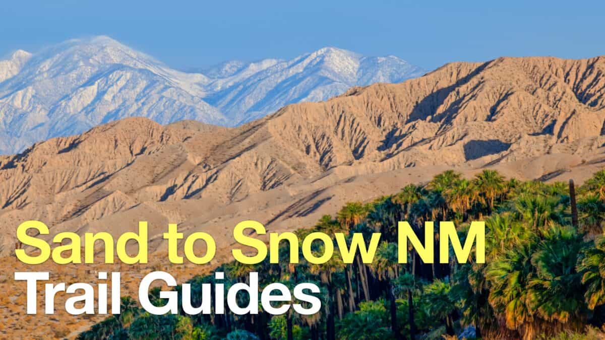 Sand to Snow National Monument Hikes
 Wildlands Conservancy Trails
Popular Guides
 Best Hiking Gear 2024
 Hiking Boots or Shoes: Do I Really Need Hiking Boots?
 When to Hit SOS on inReach
This Guide Was Written by Cris Hazzard

Hi, I'm Cris Hazzard, aka Hiking Guy, a professional outdoors guide, hiking expert, and author based in Southern California. I created this website to share all the great hikes I do with everyone else out there. This site is different because it gives detailed directions that even the beginning hiker can follow. I also share what hiking gear works and doesn't so you don't waste money. I don't do sponsored or promoted content; I share only the gear recommendations, hikes, and tips that I would with my family and friends. If you like the website and YouTube channel, please support these free guides (I couldn't do it without folks like you!). You can stay up to date with my new guides by following me on YouTube, Instagram, or by subscribing to my monthly newsletter.