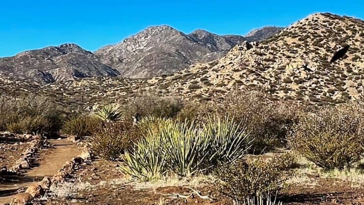

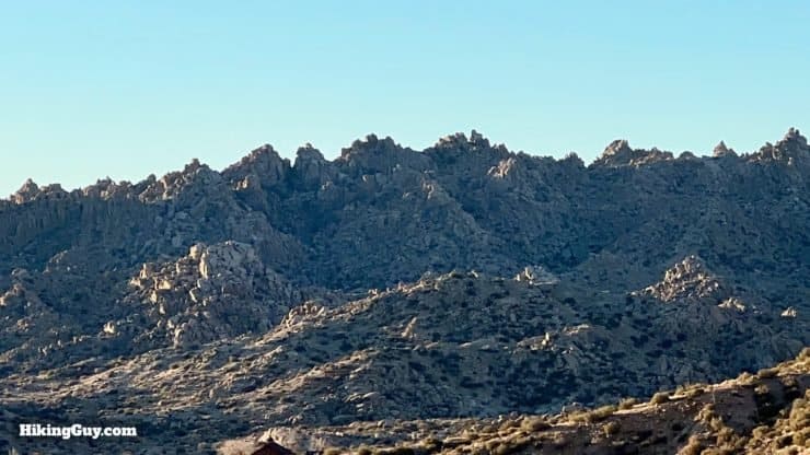
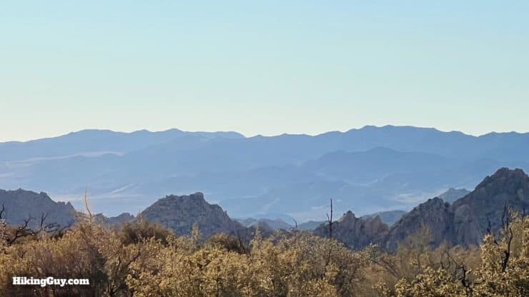
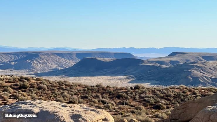
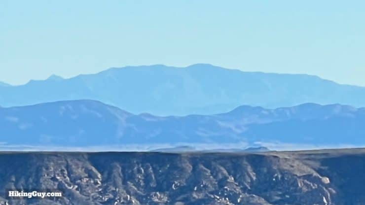
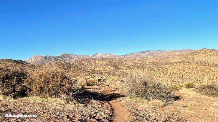
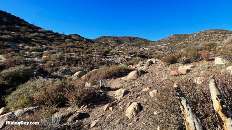
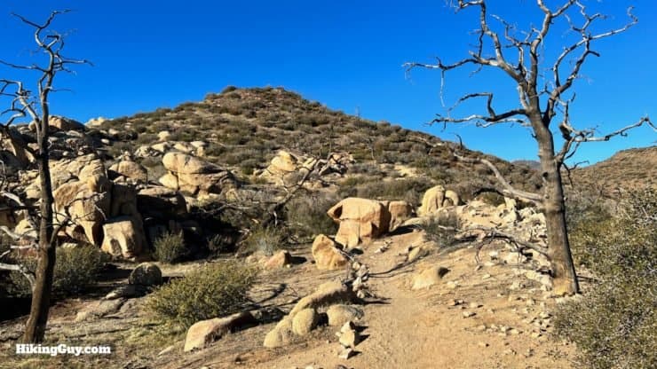
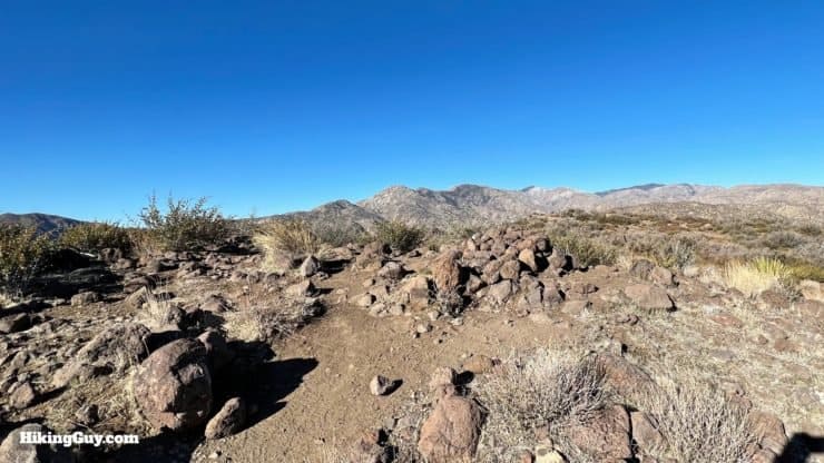
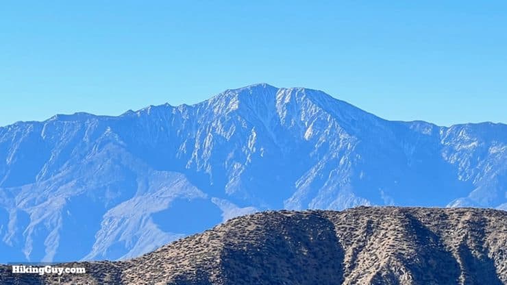
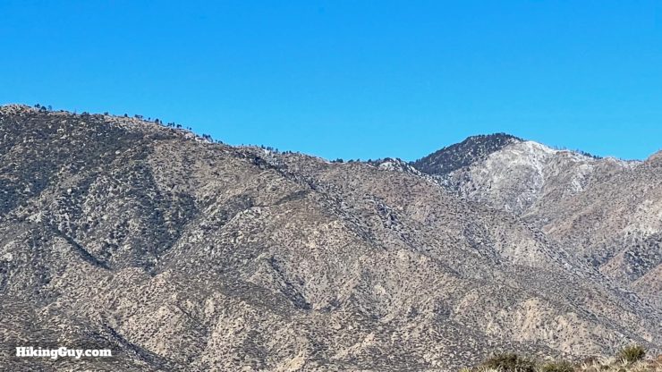
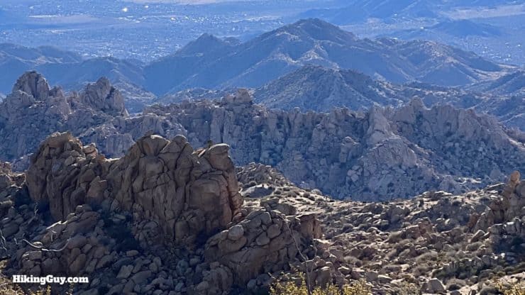
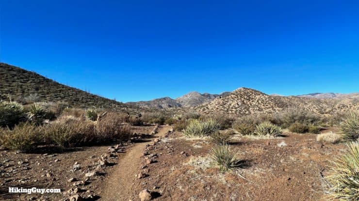
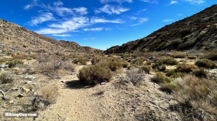
Pioneertown Mountains Preserve sits strategically between the high mountains and desert. It's a unique and varied landscape, and the Indian Loop Trail takes you on a tour of everything it has to offer. You'll climb to the 5,541-foot Chaparrosa Peak, wind through the foothills with views to the high peaks of the San Gorgonio Wilderness, and then descend through Pipes Canyon, along a critical watershed bringing life to the desert.
- Video and Turn-by-Turn Directions
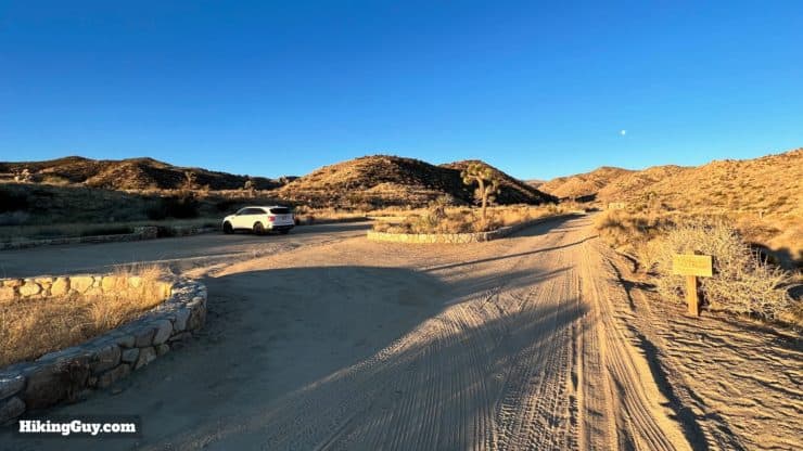
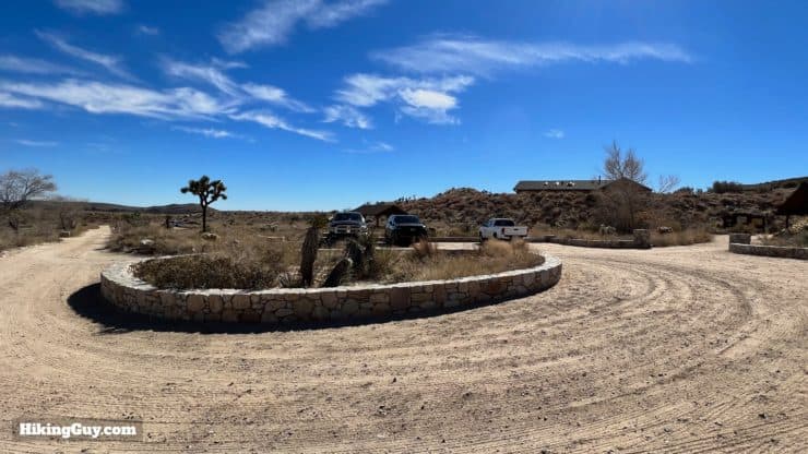
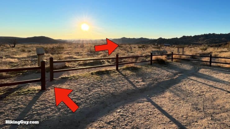
- Parking for the Indian Loop Trail
- Insider Tips & Recommendations
Where is the Pioneertown Mountains Preserve?
Pioneertown Mountains Preserve is just northwest of Joshua Tree National Park, and a few miles past the main drag of Pioneertown. Use this trailhead address:
51010 Pipes Canyon Road, Pioneertown, CA 92268
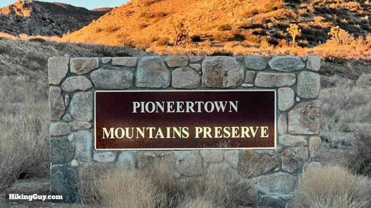
Entry is free and donations are appreciated.
You might see Pioneertown Mountains Preserve listed as Pipes Canyon Preserve. That was the original name here.
Gear For the Hike
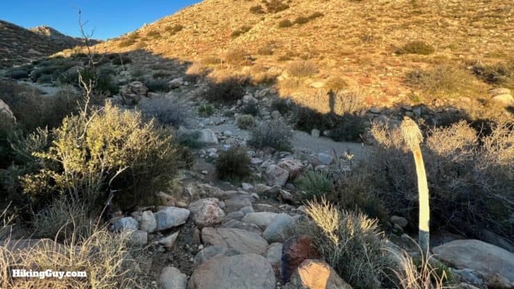
This is a proper desert hike and you should be prepared accordingly. Bring enough water - 2L is smart for most conditions. In the summer it can get brutally hot here and you'll probably want to time your hike for the cooler hours of the day.
Gear That I Love Right Now
Nothing is sponsored or promoted, just the actual gear that I use.


Check out the complete list here. ( Updated July 2024)
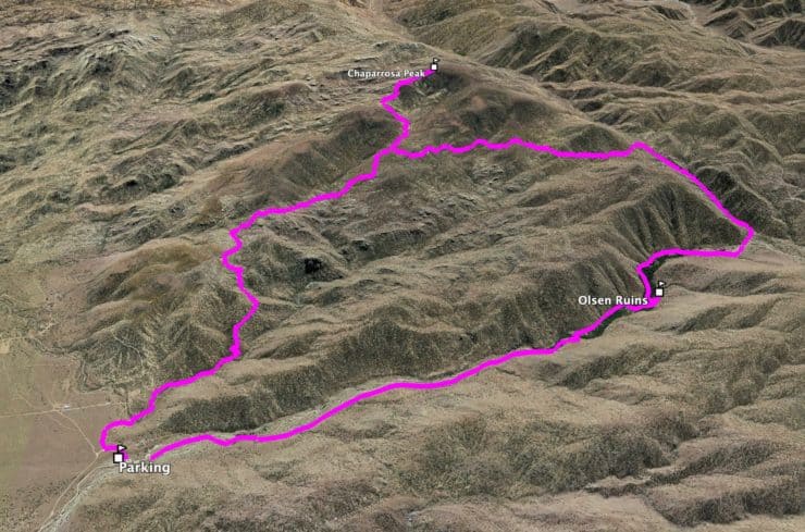
Indian Loop Trail Maps
How Will You Navigate?
 Using the Apple Watch for Hiking
 Garmin Fenix 7 & Epix Review For Hikers
 How To Read a Topographic Map
 Garmin GPSMAP 67i Review
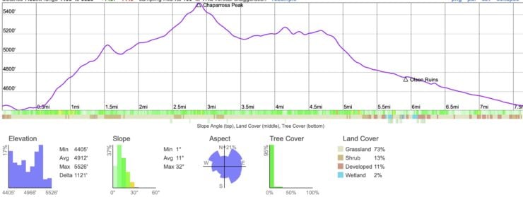
Elevation Profile
3D Map
Hike Brief
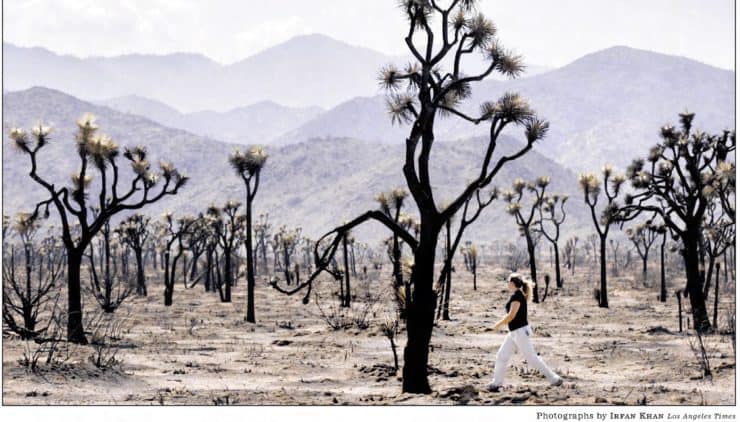
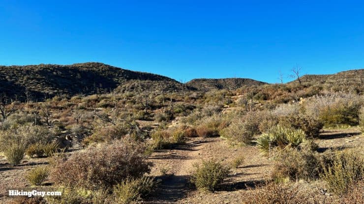
- The area around the Indian Loop Trail was 90% destroyed by the Sawtooth Complex Fire, started by lightning and spread rapidly by very dry conditions. Before the fire the preserve was full of Joshua Trees, old-growth California Juniper, and pinyon pines, some over 1,000 years old. The area has recovered from the fire, but it's believed that many of the species once found here won't reappear because of climate change.
- The Wildlands Conservancy (TWC) got its start here. Originally this land was home to a car dealership, and when it went out of business, the area became a haven for trouble. Poachers hunted illegally, automatic weapons were shot, ATVs ripped up and down Pipes Canyon, and drug use was pervasive. Two local brothers, fed up with land being ruined, put an ad in the LA Times for “to conservation-minded buyers only," and from there the Conservancy got its start. Today TWC owns and operates California's largest nonprofit nature preserve system, and Pioneertown Mountains Preserve is the largest nonprofit-owned wilderness in California. This private entity relies on donations to protect land, so please consider giving a little something.
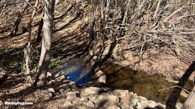
- Before recent climate changes, Pipe Wash (creek) flowed regularly and fully. At the end of the canyon, close to the parking area, you could find a large pond fed by the creek, known to the locals as Yucca Beach. Today the creek doesn't provide enough flow for the natural pond.
- Pipes Canyon Road used to extend past the visitors center and connected with the mountains by Big Bear. The route was popular way with Native peoples, and then with pioneers, and in modern times became the 29 Palms National Historic Trail. When the TWC purchased the land, they removed the road, and locals started a campaign to reopen it. The locals lost the fight, and today as you hike in the canyon, you would never know that cars once drove through the wilderness here.
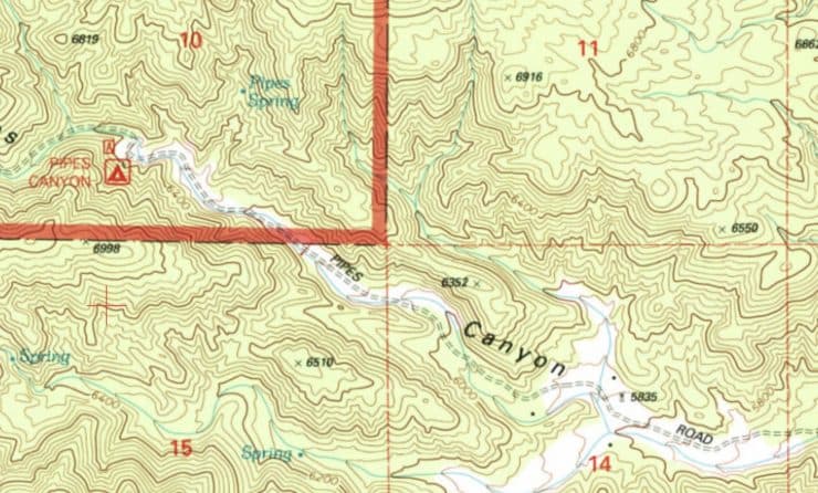
You can still see Pipes Canyon Road shown on this 1996 USGS topographic map. The road still exists in San Bernardino National Forest, and you can see it on a hike by Onyx Peak. There was also a campground that you can see here. - The Sand to Snow National Monument was inspired by the TWC's efforts to provide wilderness corridors between the mountains and the Sonoran and Mojave deserts. And although Pioneertown Mountains Preserve is not officially part of the monument because it's privately owned, it borders the Monument and is effectively part of it. Sand to Snow is the most biodiverse of all the monuments in the United States.
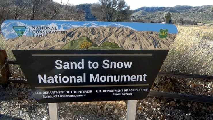
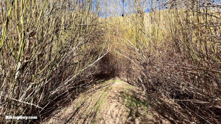
On this hike you'll experience the biodiversity illustrated in this StS Monument sign: green riparian creekside, sandy foothills, and high mountain peaks.
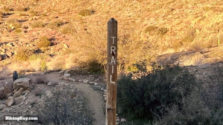
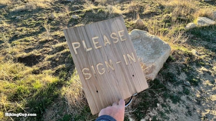
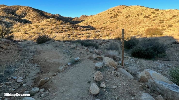
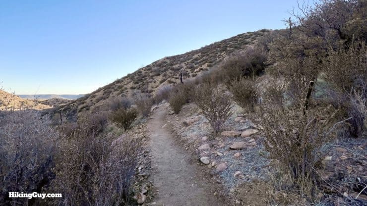
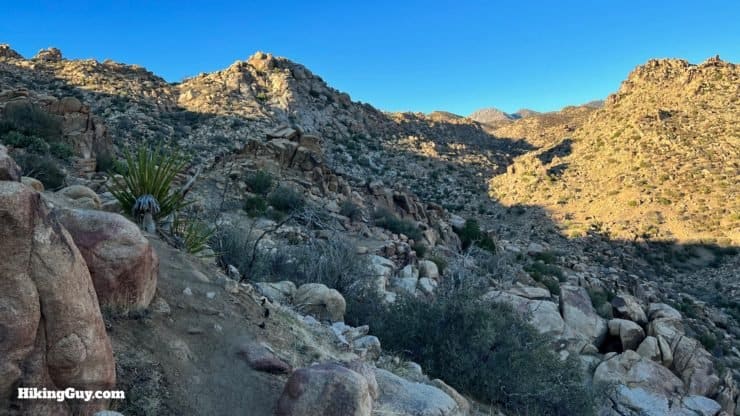
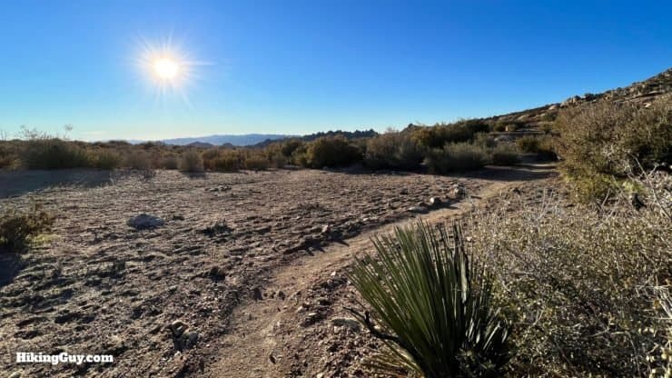
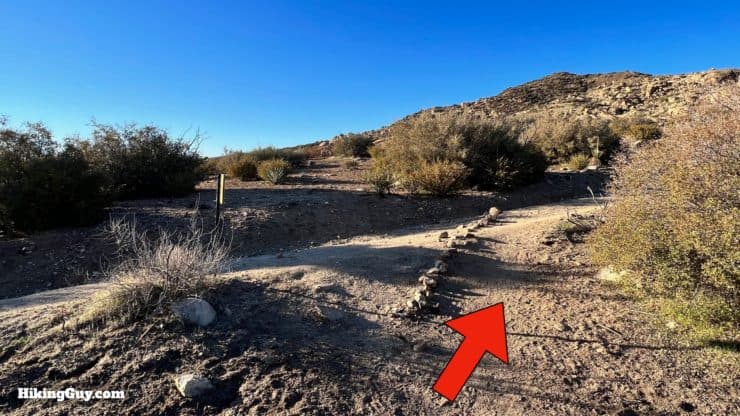
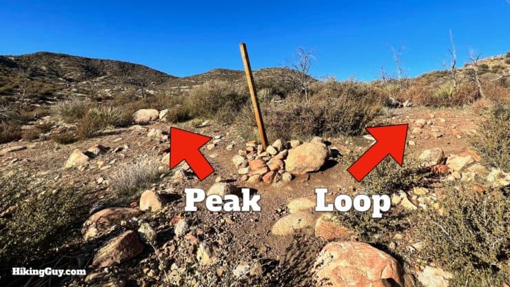
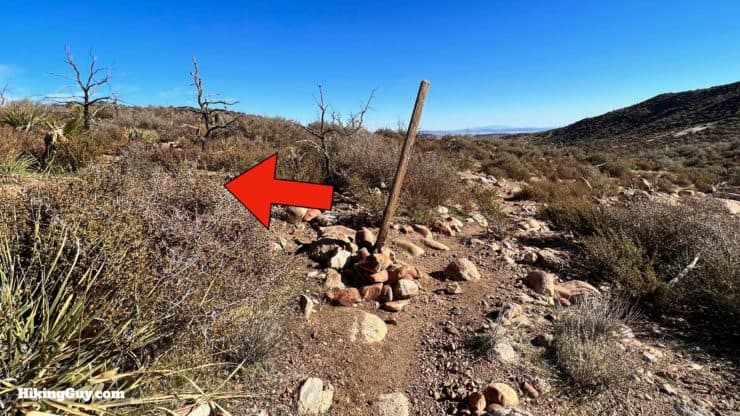
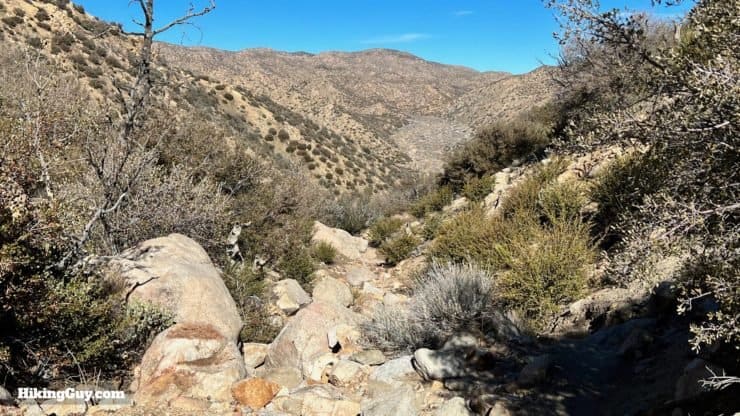
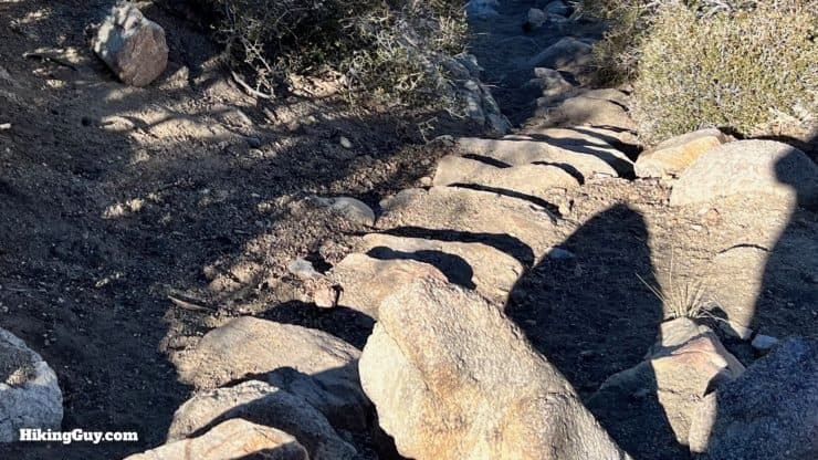
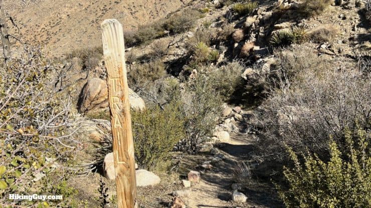
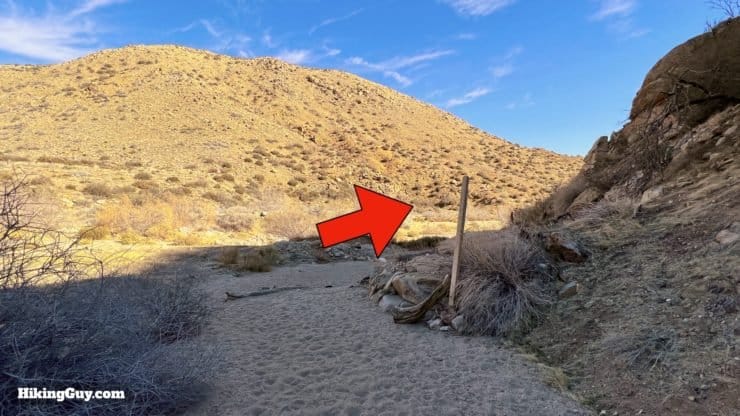
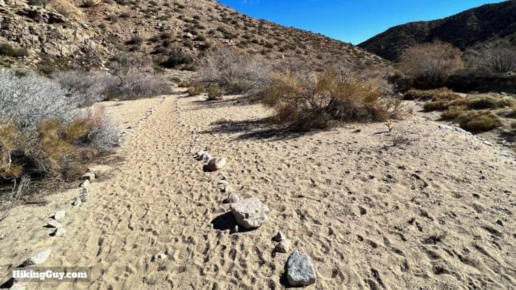
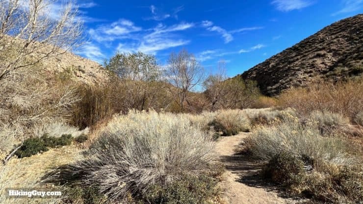
XX Hike Directions
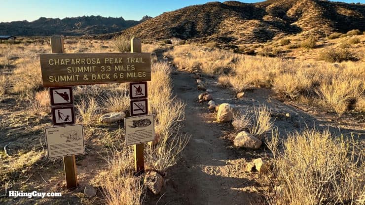
Chaparro (Chapparal) is Spanish for "Scrub Oak" and the suffix of "osa" implies that the peak was dense with scrub.
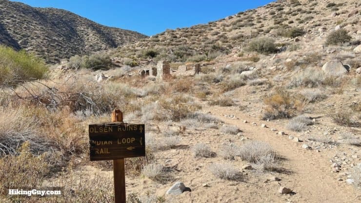

Who was Olsen? Actually it's John Olson, and he was a Swede who lived here from the 1920s, mining onyx. He was tragically murdered in 1945 by an Army deserter who he took in. There's a quaint description of life at the cabin in this old article.
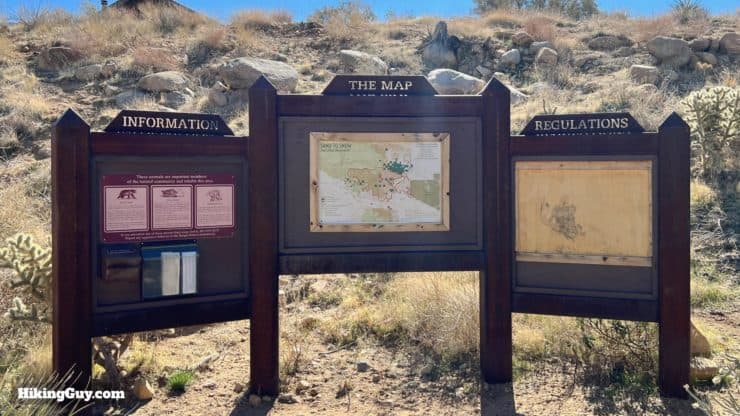
Need More Info?
- Have a question about the guide? Join my Patreon and ask me a question.
- When planning, always check the park website and social media to make sure the trails are open. Similarly, check the weather and road conditions.
- Do you have an update to this guide? View the Youtube comments for this video. Leave a comment and I will do my best to update the guide.
Related Guides
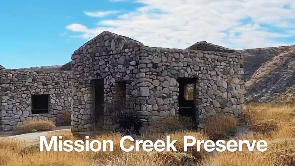 Mission Creek Preserve Hike
 Whitewater Preserve Hike - Canyon View Loop Trail
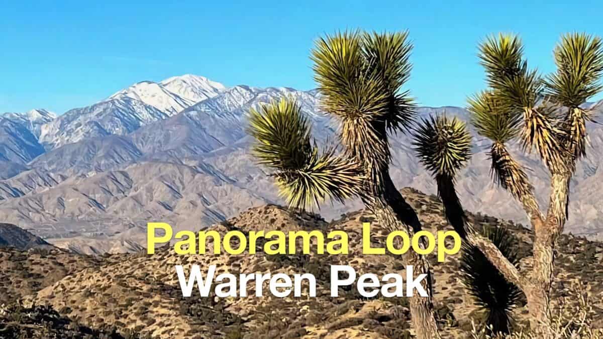 Panorama Loop and Warren Peak (Joshua Tree)
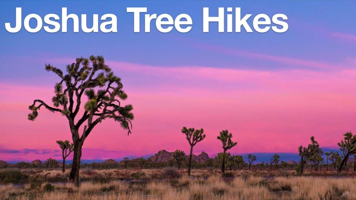 Joshua Tree Hikes
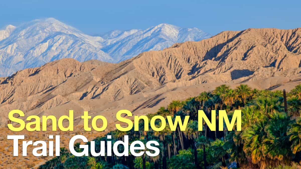 Sand to Snow National Monument Hikes
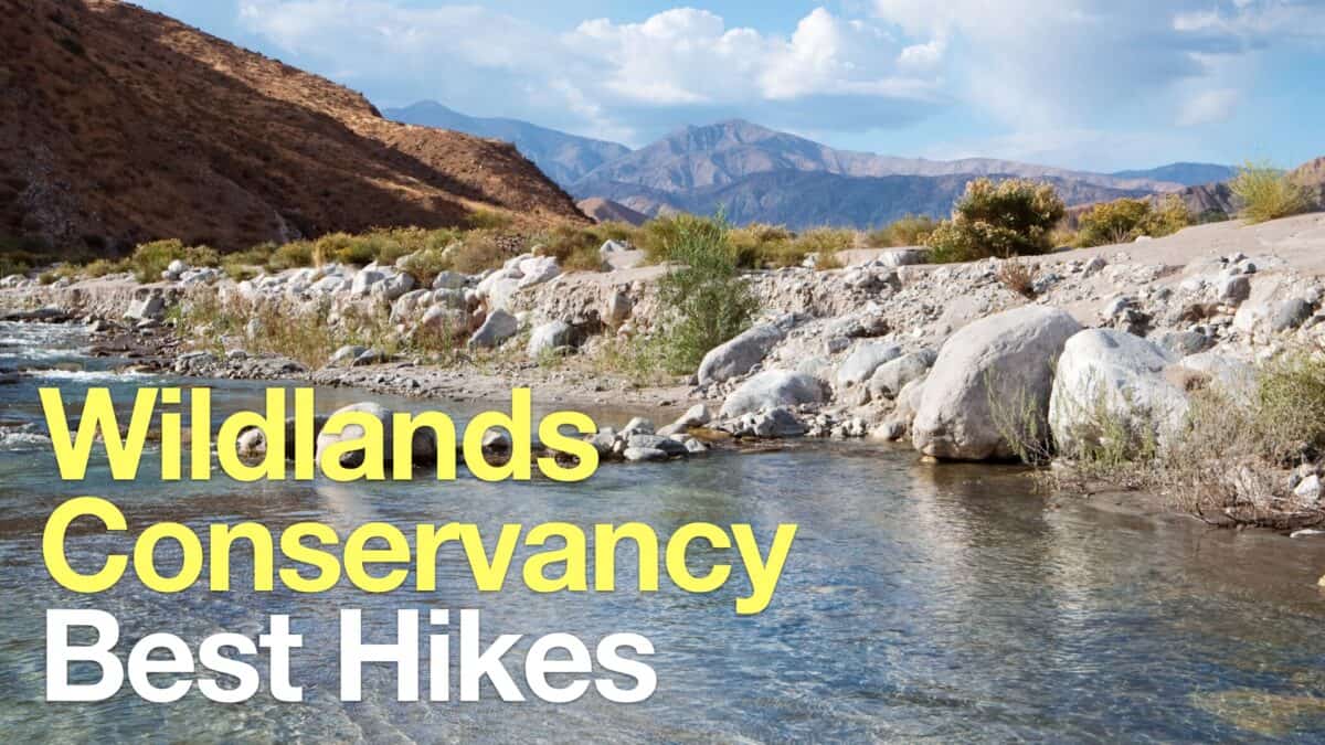 Wildlands Conservancy Trails
Popular Guides
 Best Hiking Gear 2024
 Hiking Boots or Shoes: Do I Really Need Hiking Boots?
 When to Hit SOS on inReach
This Guide Was Written by Cris Hazzard

Hi, I'm Cris Hazzard, aka Hiking Guy, a professional outdoors guide, hiking expert, and author based in Southern California. I created this website to share all the great hikes I do with everyone else out there. This site is different because it gives detailed directions that even the beginning hiker can follow. I also share what hiking gear works and doesn't so you don't waste money. I don't do sponsored or promoted content; I share only the gear recommendations, hikes, and tips that I would with my family and friends. If you like the website and YouTube channel, please support these free guides (I couldn't do it without folks like you!). You can stay up to date with my new guides by following me on YouTube, Instagram, or by subscribing to my monthly newsletter.