
A hike through the Big Bear Wild Burro Territory, Located in the eastern San Bernardino Mountains, offers an excellent chance to spot these beautiful animals in the wild, as well as some pristine mountain scenery. The territory is about 50 square miles, and in this guide, I'll take you on a route through some of the hot spots where the wild burros can be found. We'll add in a trip to Onyx Peak as well, so you can bag a summit along the way. I'll also share a map with alternative locations where the wild burro can often be found.
- Video and Turn-by-Turn Directions to Hike the Big Bear Wild Burro Territory
- Why are there Wild Burros in Big Bear?
- Tips on Spotting the Wild Burros
What is the Big Bear Wild Burro Territory?
Although common in the Southwest USA, wild burros, aka feral donkeys, are not native species. The donkeys that you find pretty much anywhere in the world are descendants of the African Wild Ass (now critically endangered), first domesticated around 3000BC. Donkeys were first brought to North America by Spanish explorers in the 1500s.
There are a few theories on how wild burros got to Big Bear. Some say they were released by miners, common in the region from the 1850s-1940s. Others say they were let go from movie sets after the shoot. And some speculate that they were released from fox farms that collapsed during the Great Depression. Fox farmers would capture burros in the desert and then use them to feed foxes. They could have also migrated up from the desert in search of food and water.

In 1971 the Wild Free-Roaming Horses and Burros Act protected the burros as "living symbols of the historic and pioneer spirit of the West" which "contribute to the diversity of life forms within the Nation and enrich the lives of the American people." The burros became protected and a herd of about 60 peacefully lived the area around Rose Mine in the eastern part of Big Bear, away from civilization.
But by the 1980s, many burros had migrated into the developed areas of Big Bear, where life was easier. They would dig through garbage, eat flower gardens, and would sometimes be fed by residents. And while they were cute, there was a darker side. There were many car fatalities. Burros would choke and die on plastic bags. Some were mauled in dog attacks. It was clear that something had to be done.
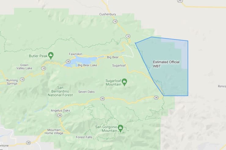
In 1997 the BLM and Forest Service created the Big Bear Wild Burro Territory (WBT), a 35,000 acre area in the east of the Big Bear area, to permanently give the wild burro a home. Burros from residential areas were relocated to the territory or put up for adoption. Today the heard is around 60 strong, and is slowly decreasing.
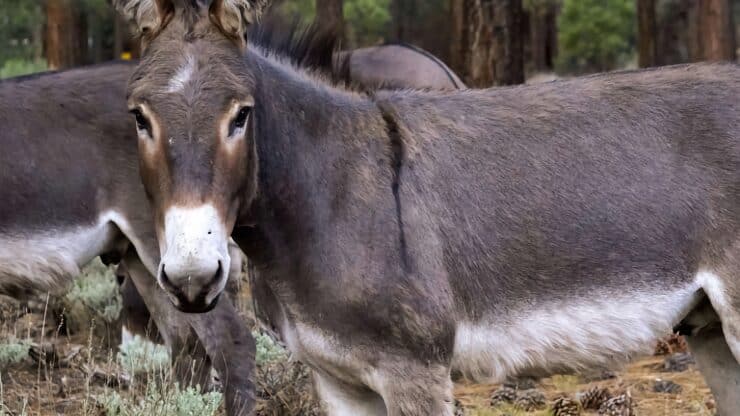
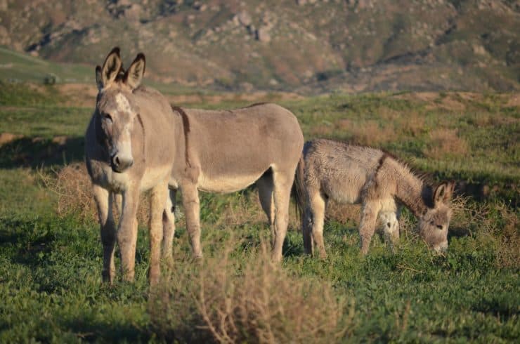
Seeing Burros On a Hike
So there are about 60 burros and 50 square miles of territory. You have no guarantee of seeing a burro. So what I've done in this guide is given you a nice 12 mile loop that will take you past some of the places that you are most likely to see a wild burro (and where I've seen them). I've also included waypoints for other wild burro hotspots in the map below if you want to explore on your own. Even if you don't see a burro on the hike, I've routed it so that it's still a pleasant wilderness experience.
Your best bet to spot a burro is in the early morning or early evening. They generally travel in small groups. In this area, the burros are used to people and will generally glance at you and continue grazing or just walk away. Don't approach too closely, they will kick with their hind legs if they feel threatened. But don't worry, burros are very intelligent and will usually size you up pretty quickly as non-threatening, as long as you keep your distance.
Where is Big Bear Wild Burro Hike?
For this hike, we are going to start at the massive parking area at Onyx Summit, which is really a pass, not a summit. Use this trailhead address:
Onyx Summit, Big Bear, CA, 92314
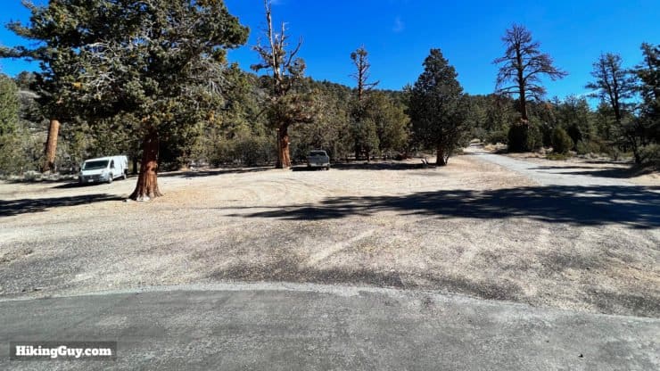
You do not need a parking pass here.
Gear For the Hike
This is a backcountry hike and I'd recommend proper hiking gear, with 2-3L of water. In the winter there can be snow and ice, and the area can become impassable. Trekking poles will help on the steeper slopes. And if you have binoculars, this is the hike to bring them on.
Gear That I Love Right Now
Nothing is sponsored or promoted, just the actual gear that I use.


Check out the complete list here. ( Updated July 2024)
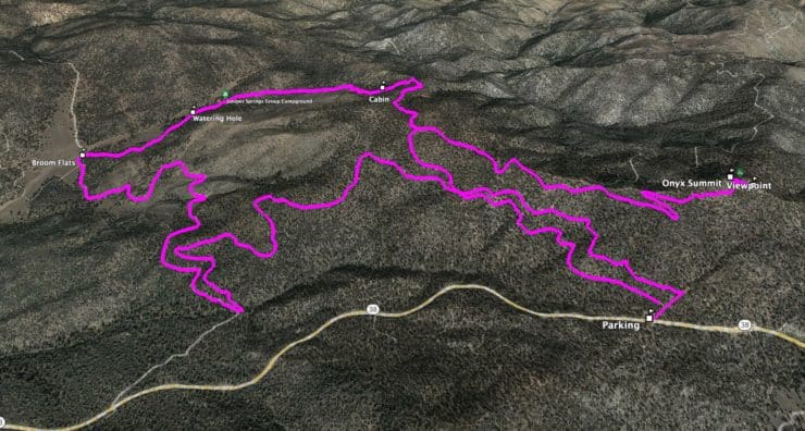
Wild Burro Hike Trail Maps
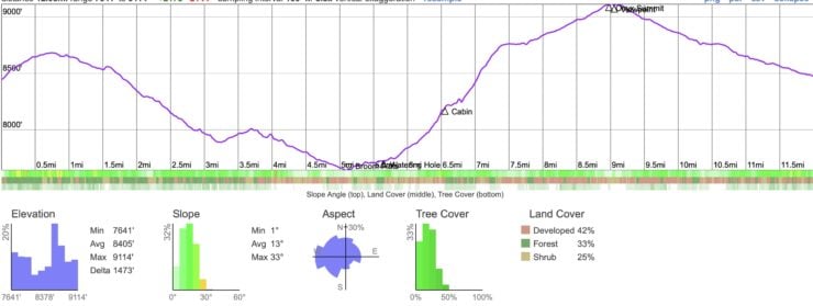
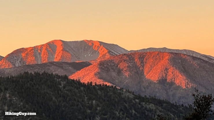
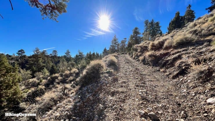
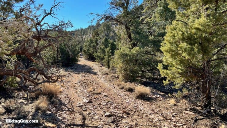
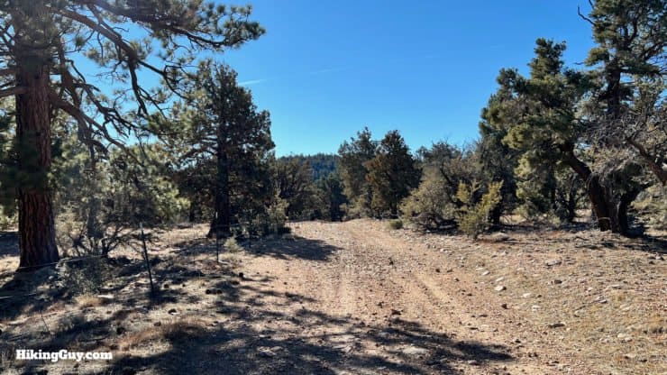
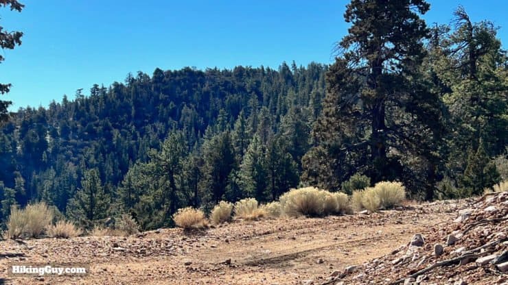
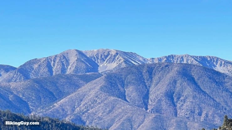
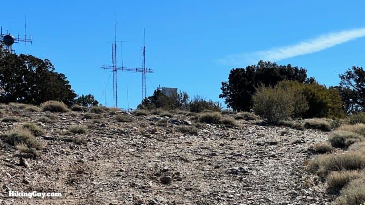
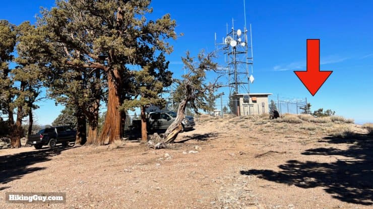
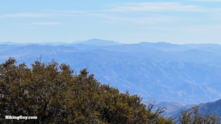
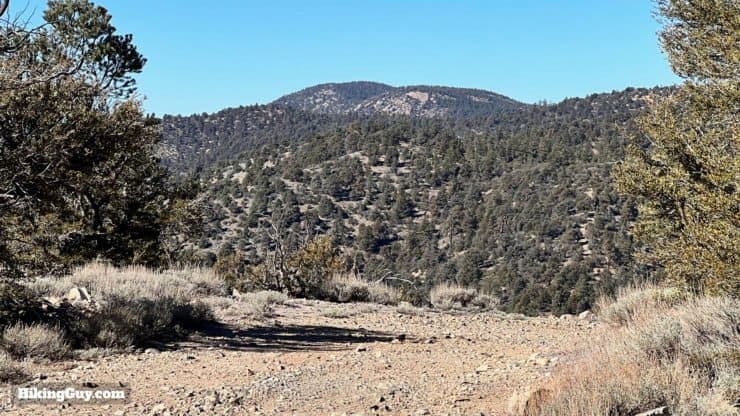
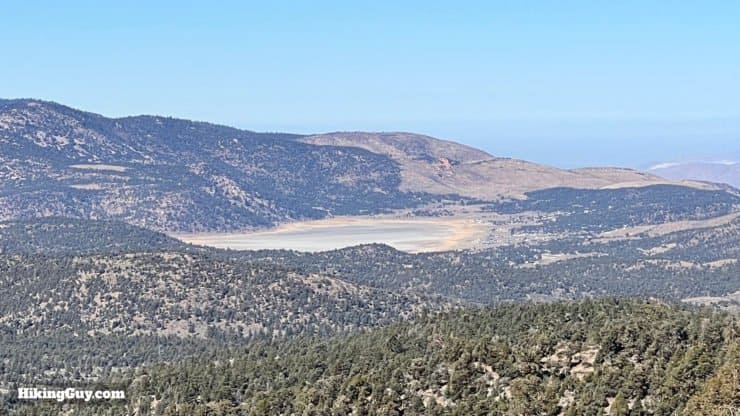
This route takes us on a scenic stretch of the PCT, and then on some lightly used Forest Service roads. Toward the end we'll bag Onyx Peak, at 9113 feet, before closing the loop and ending up back at Onyx Summit. I've included another walk along Arrestre Creek, an estimated area of the territory, and some other waypoints on the map. You can use this info to piece together your own hike if you'd like.
How Will You Navigate?
 Using the Apple Watch for Hiking
 Garmin Fenix 7 & Epix Review For Hikers
 How To Read a Topographic Map
 Garmin GPSMAP 67i Review
Elevation Profile
3D Map
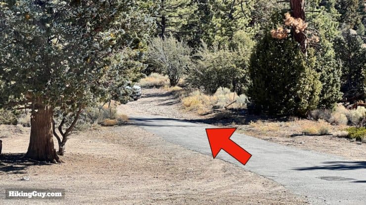
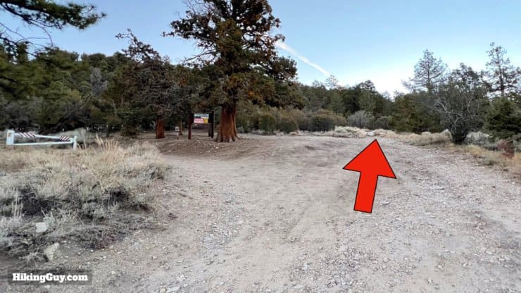
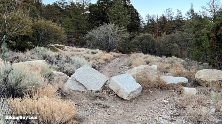
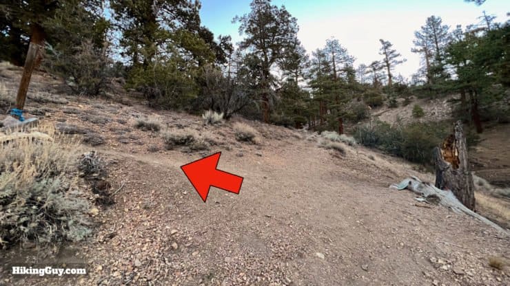
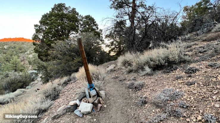
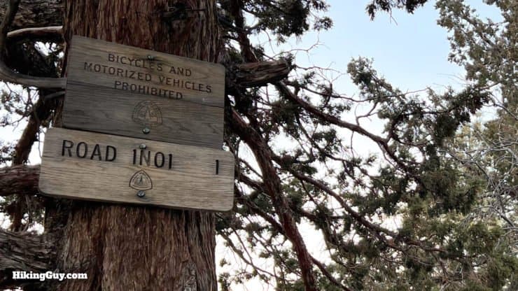
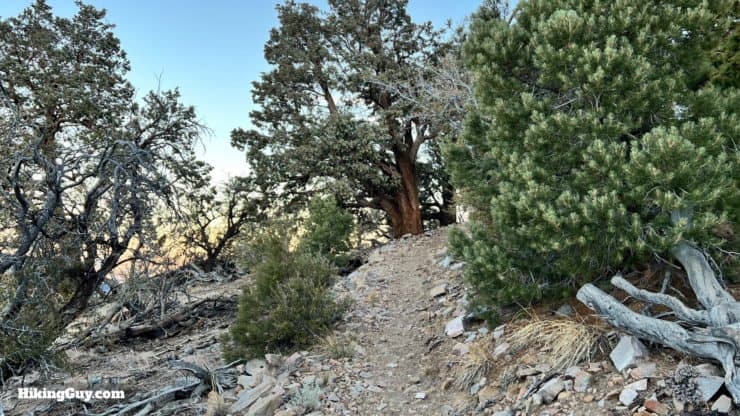
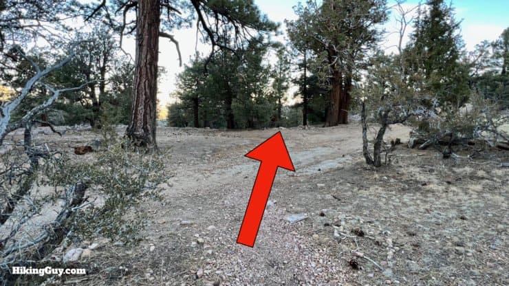
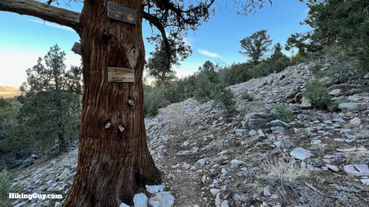
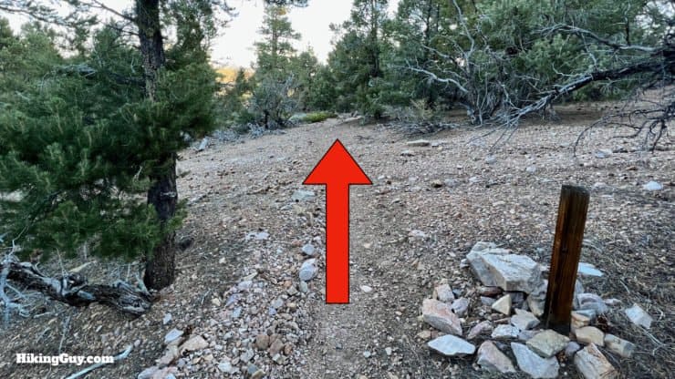
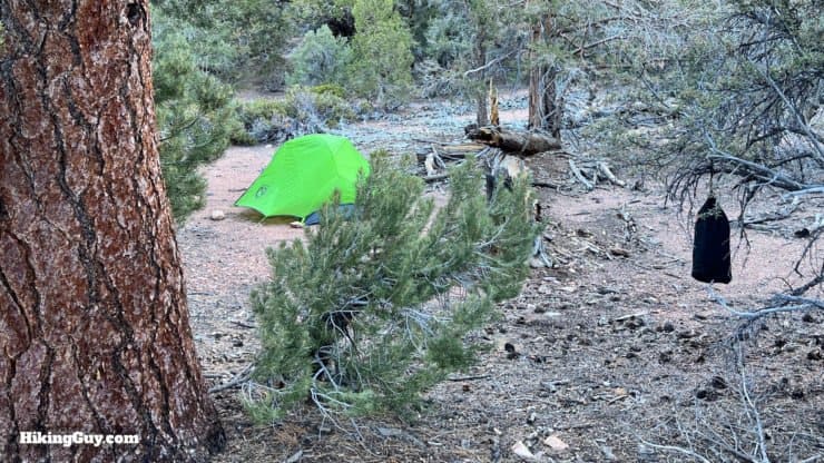
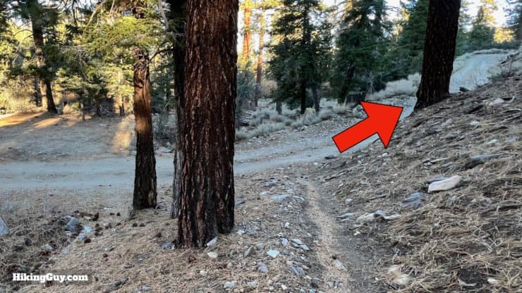
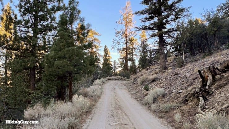
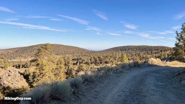
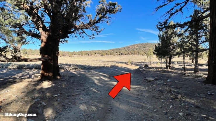
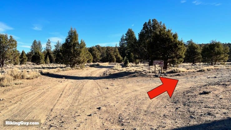
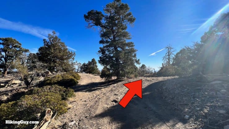
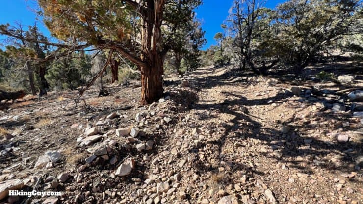
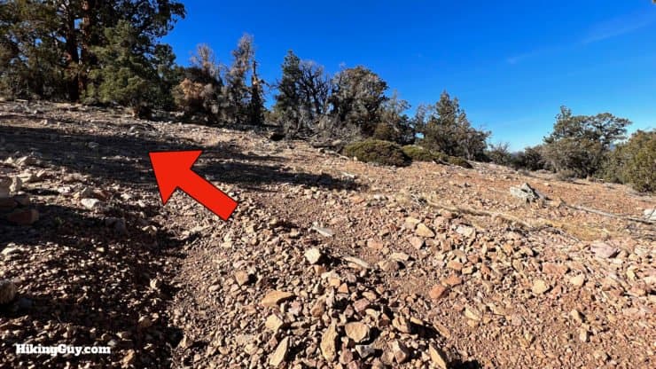
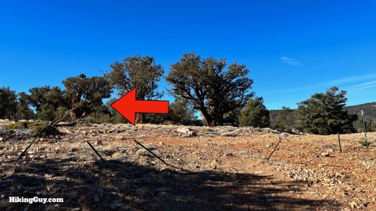
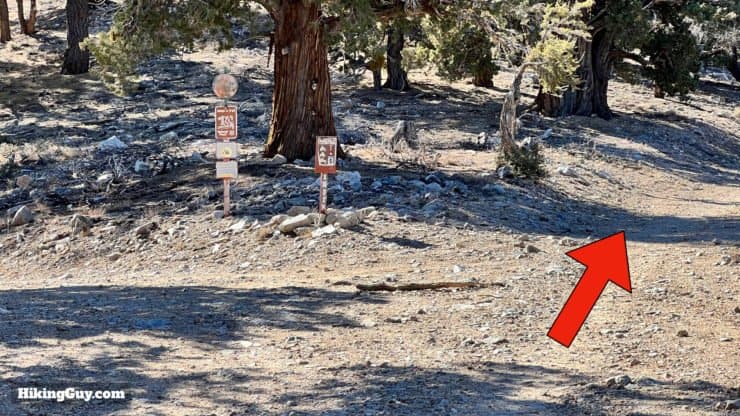
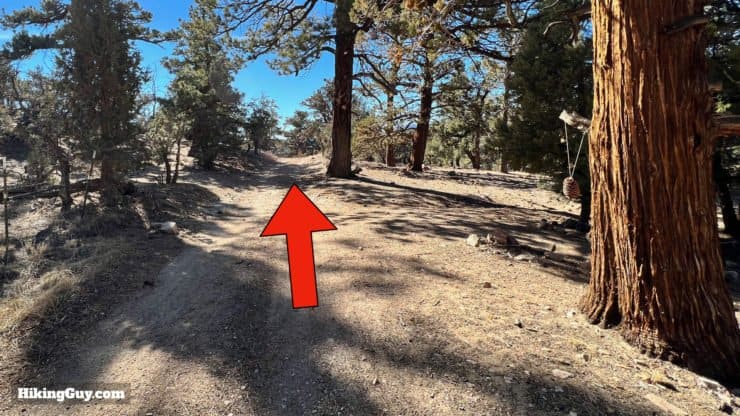
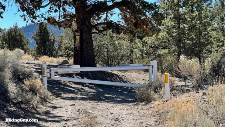
Big Bear Wild Burro Hike Directions

Need More Info?
- Have a question about the guide? Join my Patreon and ask me a question.
- When planning, always check the park website and social media to make sure the trails are open. Similarly, check the weather and road conditions.
- Do you have an update to this guide? View the Youtube comments for this video. Leave a comment and I will do my best to update the guide.
Related Guides
 Sugarloaf Mountain Trail Guide - Big Bear
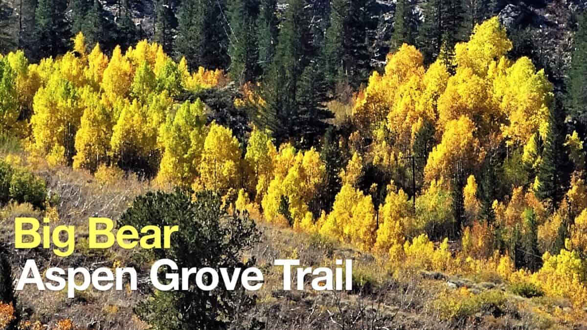 Big Bear Aspen Grove Trail Hike
 Los Angeles Hikes
 Big Bear Hikes
 LA Mountain Hikes
 San Bernardino National Forest Hiking Trails
Popular Guides
 Best Hiking Gear 2024
 Hiking Boots or Shoes: Do I Really Need Hiking Boots?
 When to Hit SOS on inReach
This Guide Was Written by Cris Hazzard

Hi, I'm Cris Hazzard, aka Hiking Guy, a professional outdoors guide, hiking expert, and author based in Southern California. I created this website to share all the great hikes I do with everyone else out there. This site is different because it gives detailed directions that even the beginning hiker can follow. I also share what hiking gear works and doesn't so you don't waste money. I don't do sponsored or promoted content; I share only the gear recommendations, hikes, and tips that I would with my family and friends. If you like the website and YouTube channel, please support these free guides (I couldn't do it without folks like you!). You can stay up to date with my new guides by following me on YouTube, Instagram, or by subscribing to my monthly newsletter.