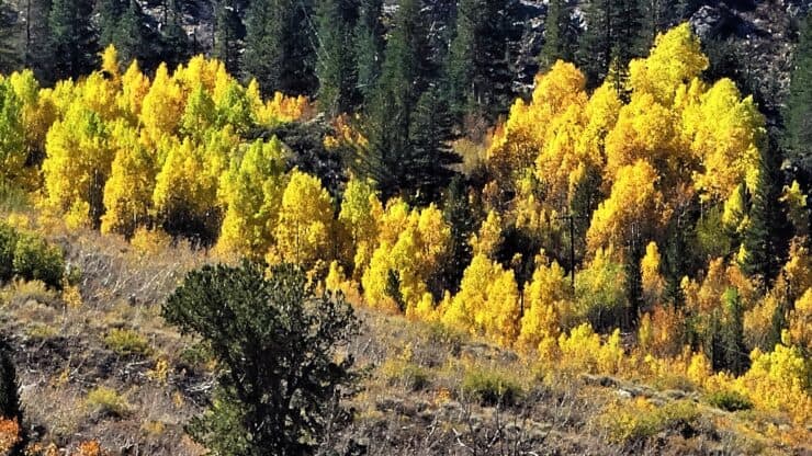

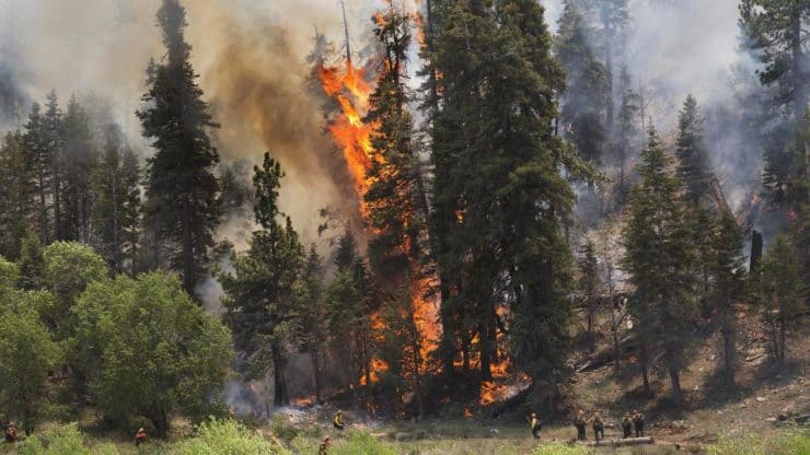
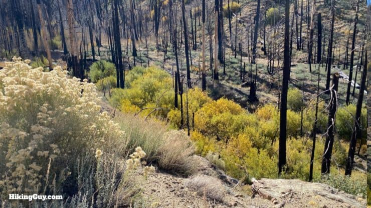
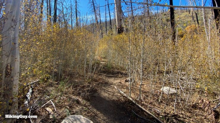
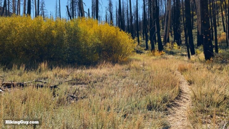
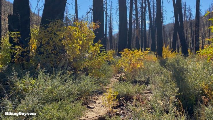
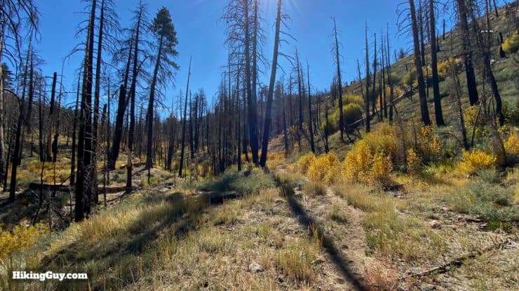
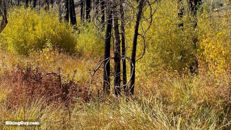
Hidden in a remote valley in the mountains around Big Bear, the Aspen Grove Trail offers a rare glimpse into one of the two aspen groves in Southern California. The leaves turn orange and yellow in the fall, and the area feels more like the Sierra Nevada than Big Bear. The Aspen Grove Trail was destroyed in the 2015 Lake Fire, and while the big pine trees are no longer there, the aspens have grown back nicely. If you're looking for fall colors, this hike is a great option.
- Video and Turn by Turn Directions for the Aspen Grove Trail
- Permits & Parking Information
- What to Expect on the Hike
Where Is the Aspen Grove Trail by Big Bear?
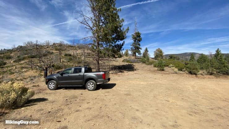
Just getting to the remote trailhead for the Aspen Grove Trail is an adventure. Ideally, you'll have a high-clearance vehicle with 4x4 to navigate the last 1.5 miles up a windy and rutted dirt road. If you don't have that option, you can drive to where the road's bad part starts and walk the 1.5 miles (about 30 minutes) to the trailhead. If you do end up walking the last stretch, the good news is that you can see aspen trees at the beginning of the hike; you don't necessarily have to hike the Aspen Grove Trail to the end (more on that later in the guide).
In the winter, the road to Fish Creek can be closed. Check the "alerts" link above before you go.
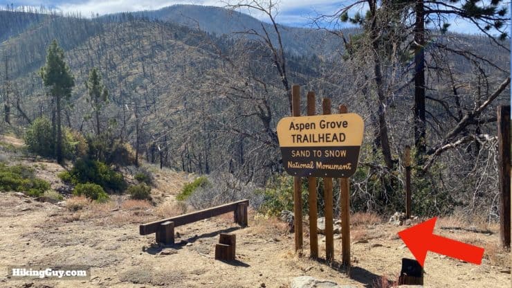
To get to the trailhead, use this address:
Aspen Grove Trail 2E05, Angelus Oaks, CA 92305
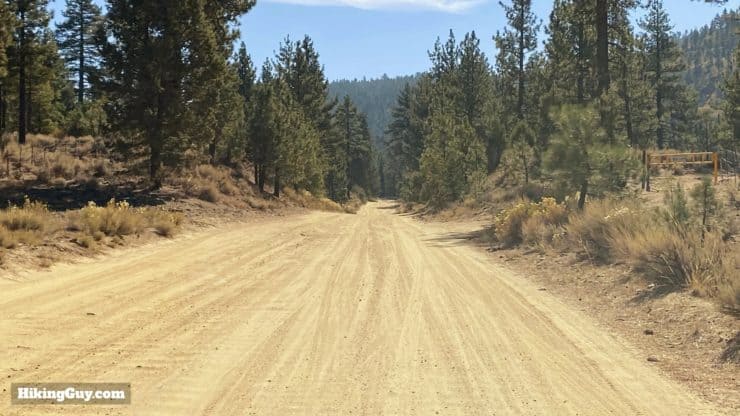
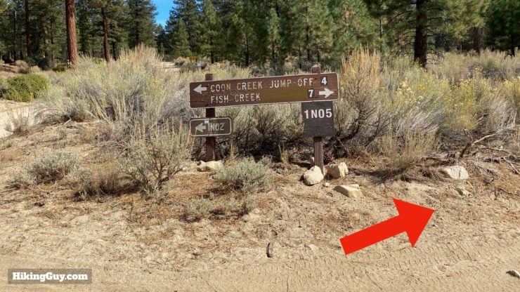
Shortly after that last image the road starts to go uphill. If you have a low-clearance vehicle, park around the intersection sign and walk. I've marked the trail map (in a following section) with the alternate parking location.
Permits For the Hike
Occasionally you need a permit to hike the Aspen Grove Trail. Whether you do or not is often dependent on the fire conditions and traffic. Check the San Gorgonio Wilderness Associate website before you go. You can arrange for a permit online and it's free.
Gear Recommendations
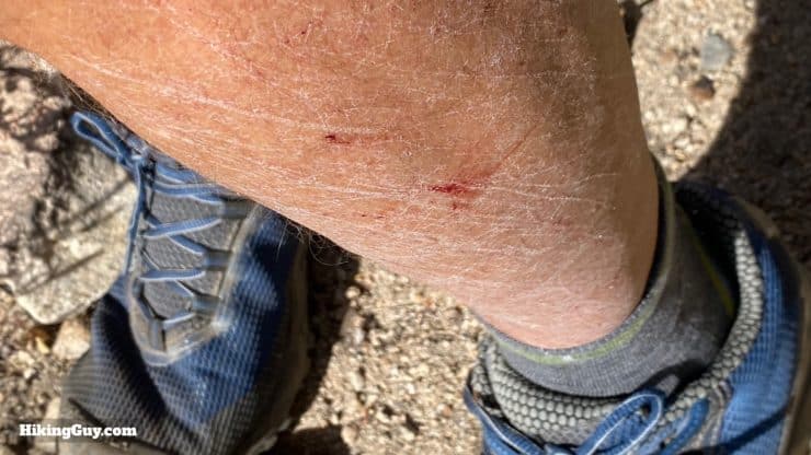
Although the hike isn't long, it's definitely in the backcountry, and you should be prepared. Bring at least 1L of water and a satellite communicator if you have it. The trail is overgrown in spots; having long pants and trekking poles will help save your legs.
Gear That I Love Right Now
Nothing is sponsored or promoted, just the actual gear that I use.


Check out the complete list here. ( Updated July 2024)
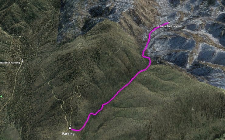
Aspen Grove Trail Maps
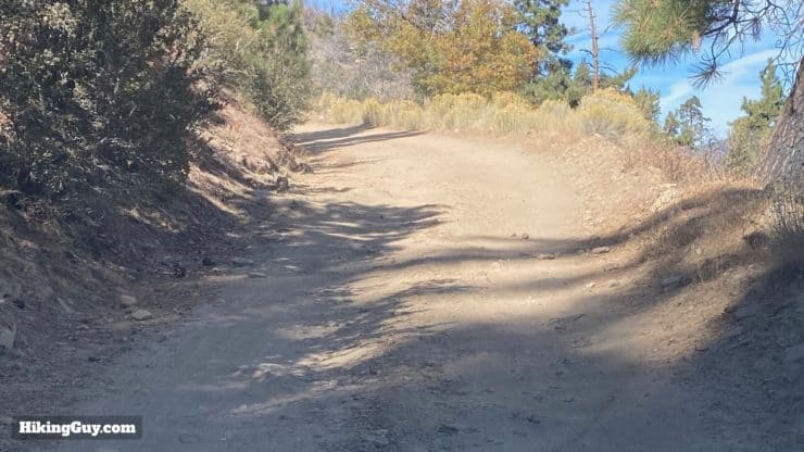
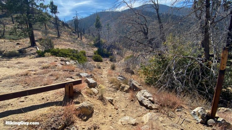
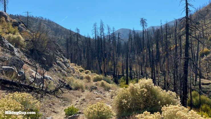
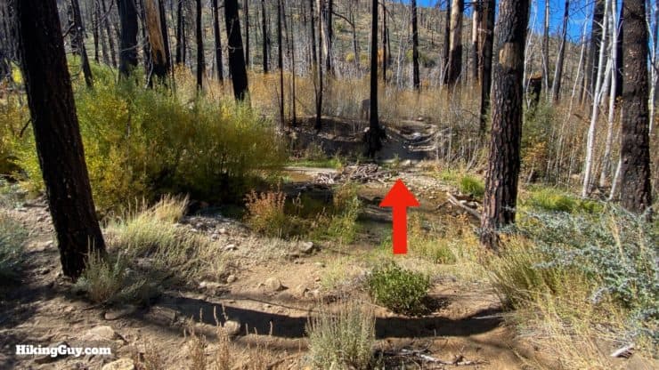
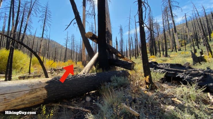
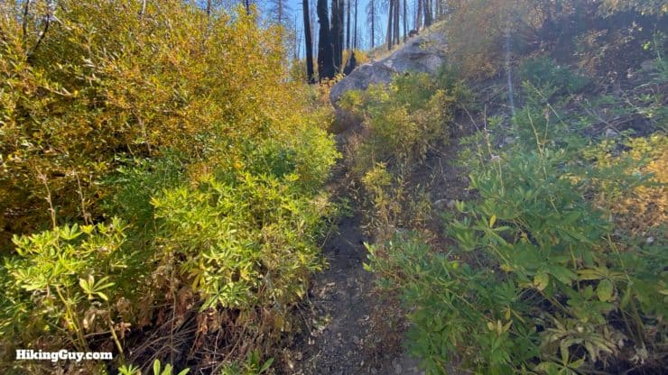
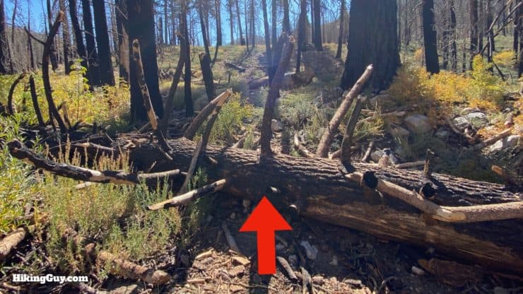
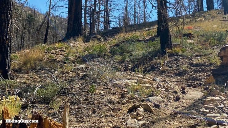
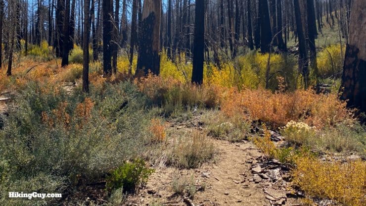
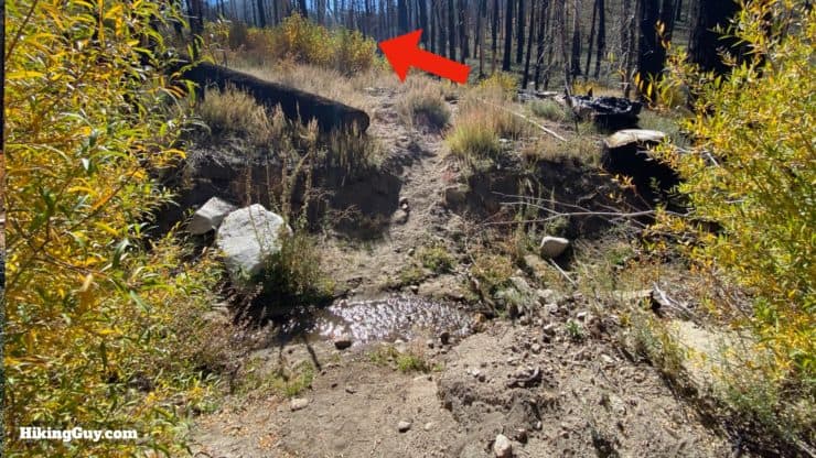
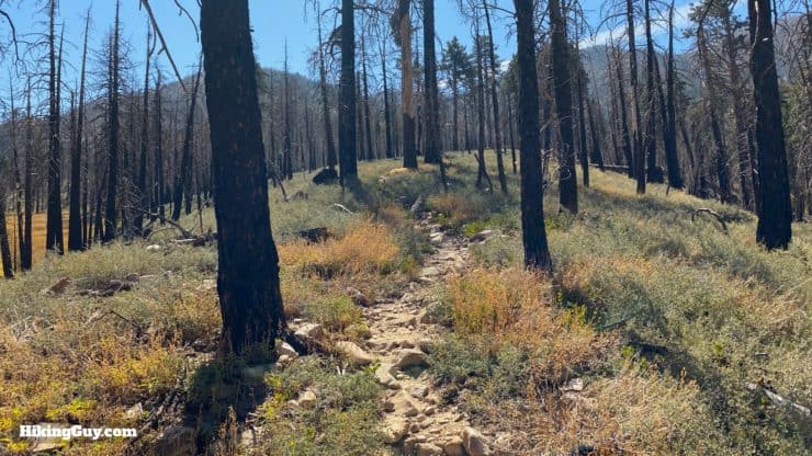
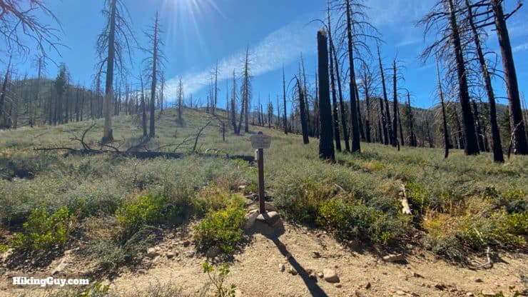
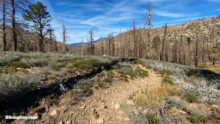
This trail is very easy to follow from the trailhead to the first aspen grove at Fish Creek, and then it gets a little more challenging as you hike to the end of the trail. Tise area was leveled in the 2015 Lake Fire, and the trail also fell victim. If you have a GPS and know how to load the GPX track (below), it will be helpful. That said, although overgrown in places, there are very well defined sections at regular intervals. If you've been hiking for 10 minutes and you haven't seen a well-defined trail, you've lost the trail.
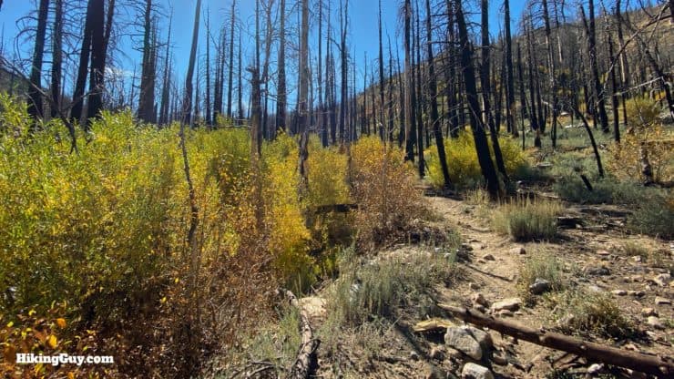
Also of note is the OSM map track, which shows the trail running on the east side of Fish Creek. If this was the trail at one point, it's not the trail anymore. The GPX file I have available here, along with the images and video, show the current trail.
How Will You Navigate?
 Using the Apple Watch for Hiking
 Garmin Fenix 7 & Epix Review For Hikers
 How To Read a Topographic Map
 Garmin GPSMAP 67i Review
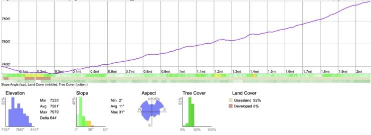
Elevation Profile
3D Map
Hike Brief
- Aspens are an "aggressive pioneer species" that often colonize wildfire areas. So on this hike, even after the 2015 fire, you can see new growth aspens.
- The aspen is one of the most common trees in North America, but Southern California is generally too hot and dry for them. A few isolated areas like this support groves.
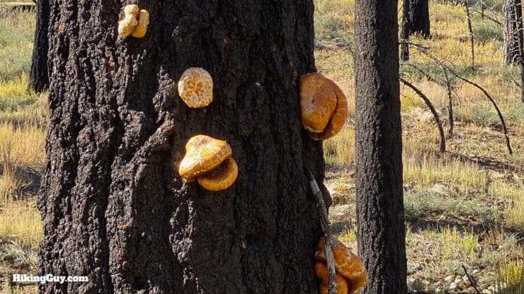
- There are several species of aspens, and these are called "quaking aspens," also known as golden aspen, trembling aspen, American aspen, and mountain aspen. The words "quaking" and "trembling" describes when the wind blows through the leaves; the trees look as if they are shaking. If you want to learn more, the Forest Service has a few pages devoted to aspen trees.
- The area to the west of the trail (I'll point it out in the directions) is a popular spot for hunters. If it's hunting season they can be active here, and it's not very fun. And of course, hunting season is in the fall, when the leaves change color. The good news is that most hunters here are used to hikers. Go to Walmart and invest in a cheap orange hat or vest. You can also make lots of noise by talking loudly or singing a song. It helps to scare away animals, and also let hunters know that a human is close. It might also be the only circumstance in which playing music through a Bluetooth speaker is acceptable.
- This guide brings you to the end of the Aspen Grove Trail. The area is remote and beautiful, but the aspens fizzle out as you climb up the canyon. If you don't want to go all the way, simply turn around and go back whenever you feel like it.
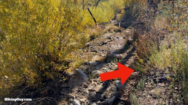
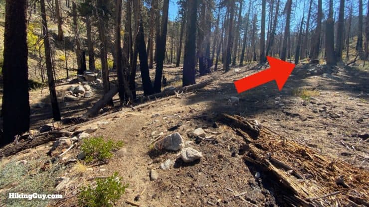
Aspen Grove Trail Hike Directions
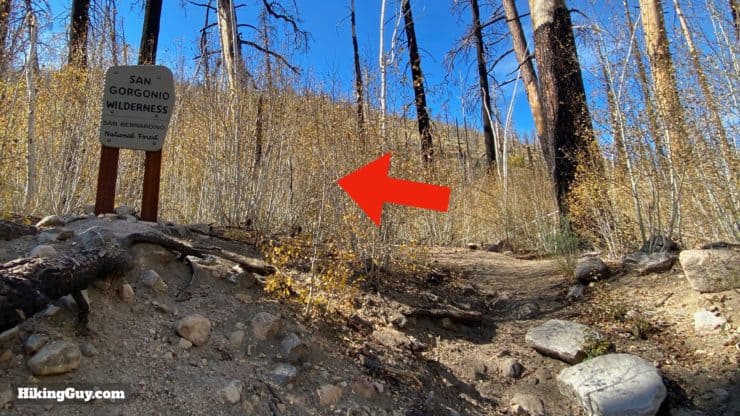
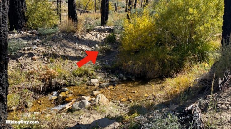
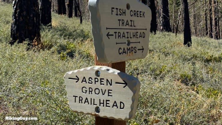
If you just wanted to see that first grove of aspens, you can turn around here. You can also explore the trail to the right at the San Gorgonio Wilderness sign, but note that the area to the right is popular with hunters (in hunting season).
Need More Info?
- Have a question about the guide? Join my Patreon and ask me a question.
- When planning, always check the park website and social media to make sure the trails are open. Similarly, check the weather and road conditions.
- Do you have an update to this guide? View the Youtube comments for this video. Leave a comment and I will do my best to update the guide.
Related Guides
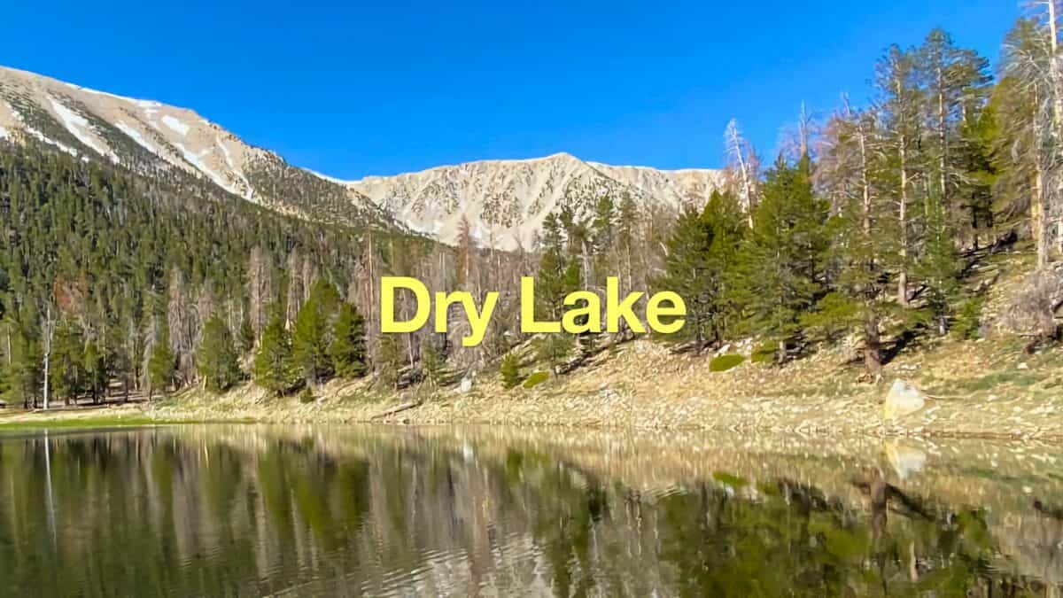 Dry Lake (San Gorgonio) From The South Fork Trail
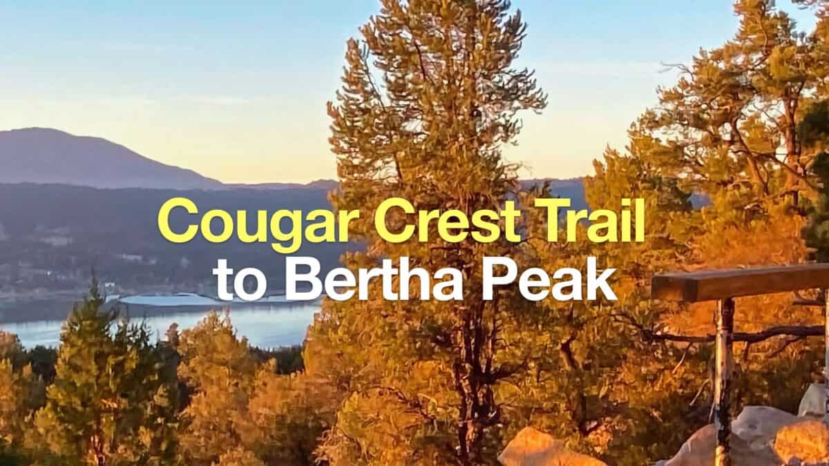 Cougar Crest Trail to Bertha Peak Hike Guide
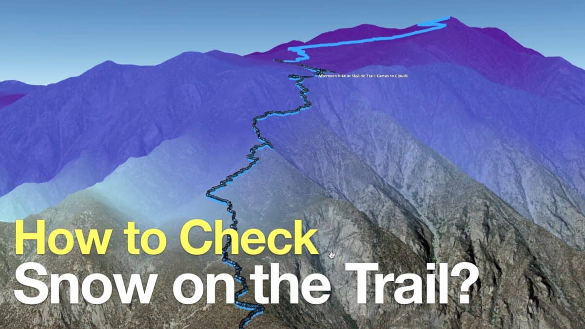 How to Check If There Is Snow On the Trail
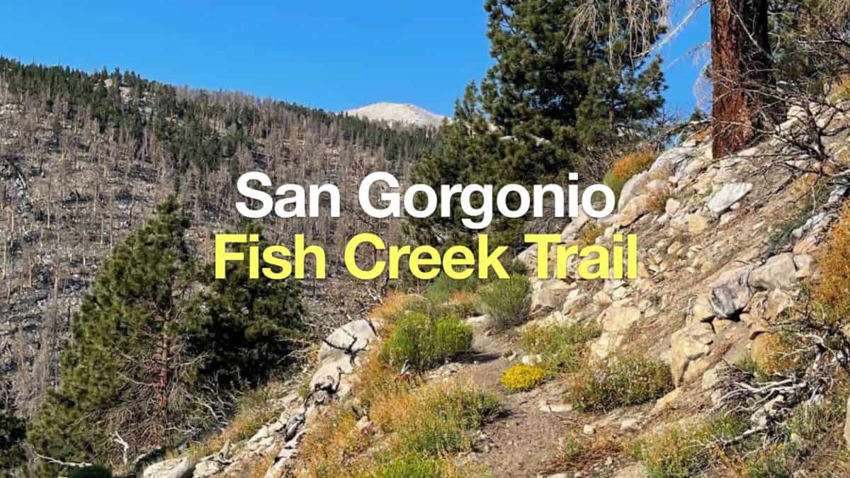 Fish Creek Trail to San Gorgonio Mountain
 Big Bear Wild Burro Territory Hike
 Los Angeles Hikes
 Big Bear Hikes
 LA Mountain Hikes
 San Bernardino National Forest Hiking Trails
 Sand to Snow National Monument Hikes
Popular Guides
 Best Hiking Gear 2024
 Hiking Boots or Shoes: Do I Really Need Hiking Boots?
 When to Hit SOS on inReach
This Guide Was Written by Cris Hazzard

Hi, I'm Cris Hazzard, aka Hiking Guy, a professional outdoors guide, hiking expert, and author based in Southern California. I created this website to share all the great hikes I do with everyone else out there. This site is different because it gives detailed directions that even the beginning hiker can follow. I also share what hiking gear works and doesn't so you don't waste money. I don't do sponsored or promoted content; I share only the gear recommendations, hikes, and tips that I would with my family and friends. If you like the website and YouTube channel, please support these free guides (I couldn't do it without folks like you!). You can stay up to date with my new guides by following me on YouTube, Instagram, or by subscribing to my monthly newsletter.