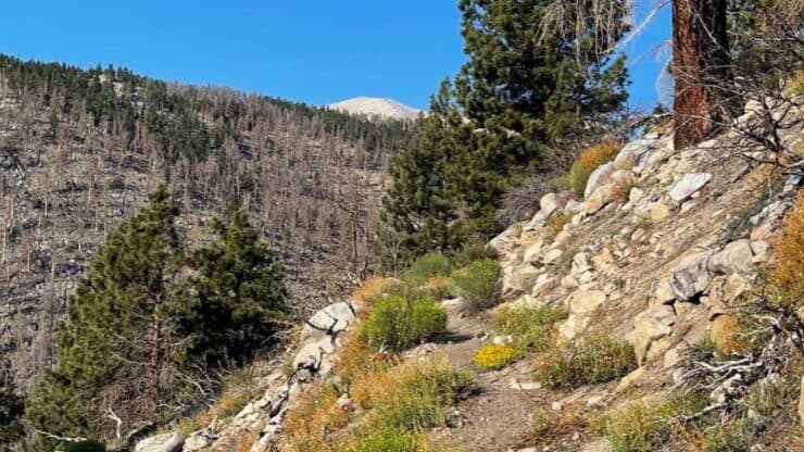

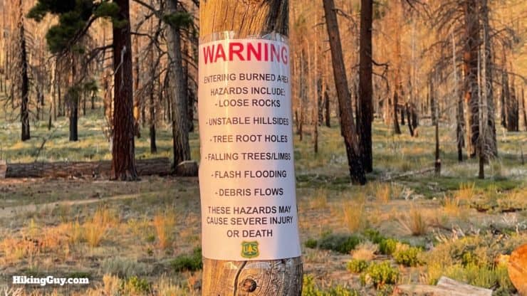
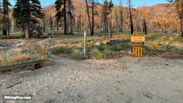
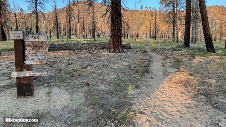
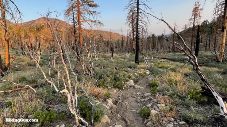
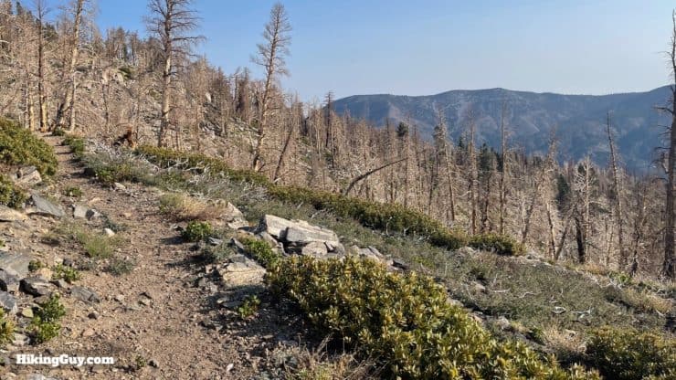
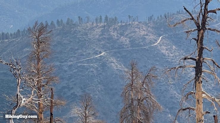
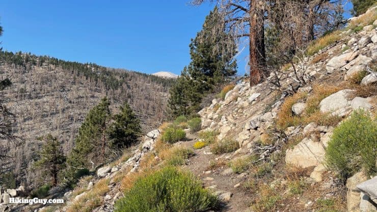
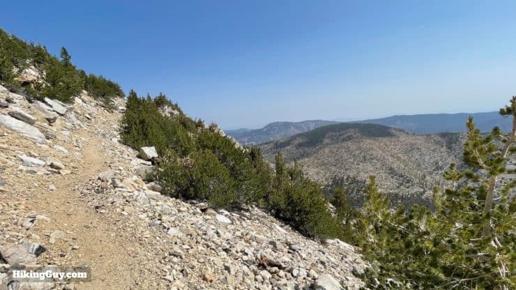
Offering solitude and the easiest (but not easy) climb to San Gorgonio Mountain, the Fish Creek Trail is a great hike to escape the crowds. Getting to the trailhead is a challenge, but once there, you'll start the hike just 3500 feet below the summit, and a well-designed trail helps you keep momentum as you climb to the highest point in SoCal. Unfortunately, there's some damage from the 2015 Lake Fire, but it's still a beautiful hike with great views and rugged wilderness.
- Video and Turn-by-Turn Directions for the Fish Creek Trail (1W07)
- Parking and Permit Information
- Insider Tips for the Hike
Where is the Fish Creek Trail?
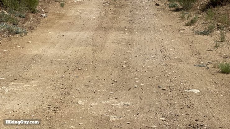
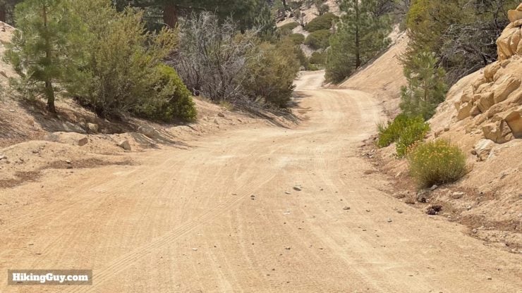
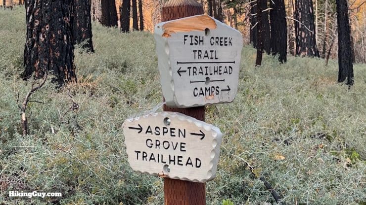
Ahh... getting to the trailhead is an adventure in itself. After turning off the main CA-38 road at the Heartbar Campground, the road quickly turns to dirt. You'll make a right turn at the signed junction for Fish Creek onto 1N05, and then the 7-mile adventure starts.
The road is rutted. The ruts are large enough in places that you will have to slowly and carefully pick your way through the bumps and holes. The deepest ruts are between the start of 1N05 and the Aspen Grove Trailhead. If you can get there, the rest will be fine. Your best bet is to have a 4x4, and second best is to have a high-clearance vehicle. Subarus have enough clearance (about 8 inches) to make it. Overall, you'll want to go slowly. Even when the road gets smooth, ruts can come up unexpectedly. I generally go at about 10-15mph, slower in the rutted sections. Plan on about 45 minutes from CA-38 to the Fish Creek Trailhead.
Along the way there are some narrow sections with a steep drop on the side. There are periodic wider turnouts. If you encounter another car, technically the vehicle facing downhill must yield to the driver facing uphill, but usually it's whatever seems safest for both parties. Just go slow and concentrate; you'll be fine.
In the late fall there can be more traffic here because it's a popular spot for deer and bear hunting. Check the dates for the season (it's zone D14 / J11).
The trailhead address is:
Fish Creek Trail 1W07, 240 Forest Cir, Angelus Oaks, CA 92305
If it doesn't show up on your mapping program, use:
34.124946253834985, -116.7666708488588
I've included the route for the dirt road in my GPX file (below) in case you don't have cell reception (you probably won't).

There are no toilets or water fills at the trailhead.
Permits for the Fish Creek Trail
The San Gorgonio Wilderness Association handles the permits, and they are easy to apply for using their online portal. There's a quota system, but the remoteness of this trail effectively means that it's always pretty easy to score a permit. You can print your permit out or save it to your phone (as long as your phone works).
Permit Availablity
Can't get a permit for your date? Try OutdoorStatus.com and get a text message as soon as a cancelled permit opens up!.
Camping on the Fish Creek Trail
Given the length of this hike (20.5 miles), some folks will want to camp and break the trip up. The area along this route is a great area to have a primitive wilderness camping experience. Know that there are no facilities (because you are in a Wilderness Area), just a flat area to pitch a tent and maybe a log to sit on. You will need a campfire permit to use your stove.
I've included images of some of the campsites in the directions below, but here's the rundown on what they are like.
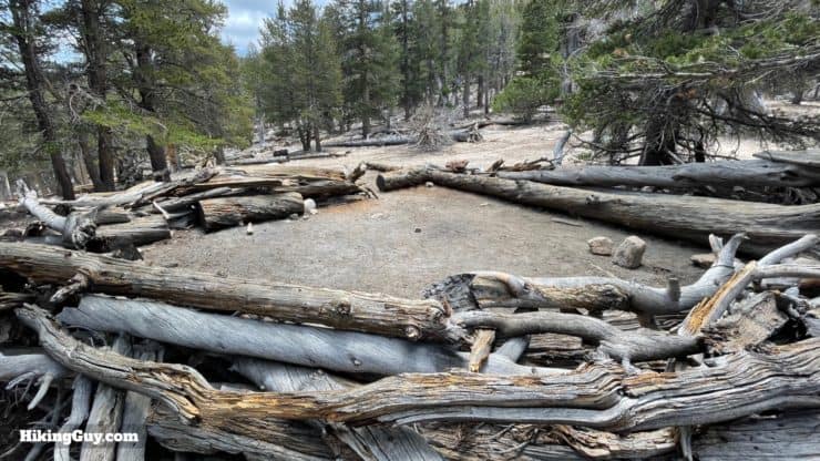
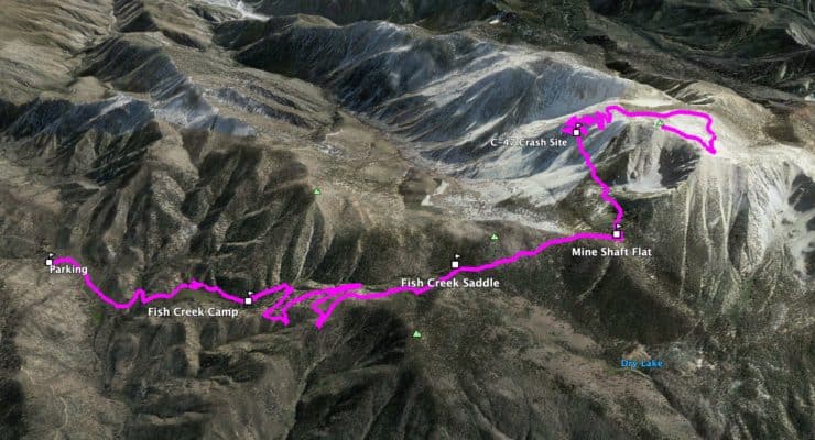
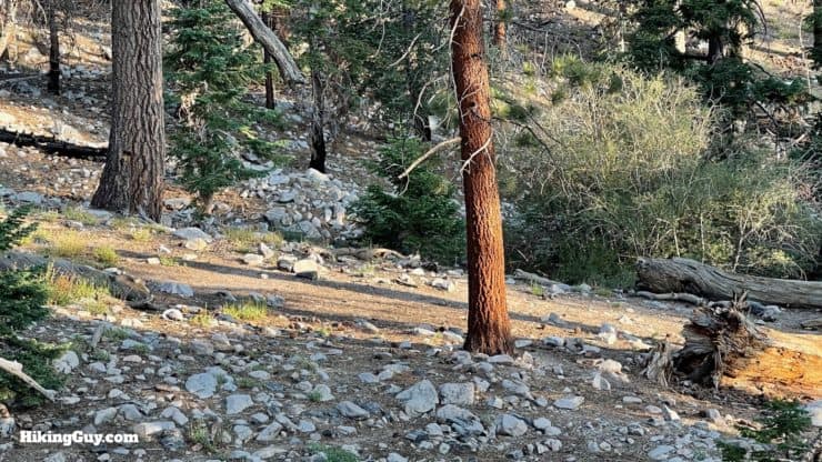
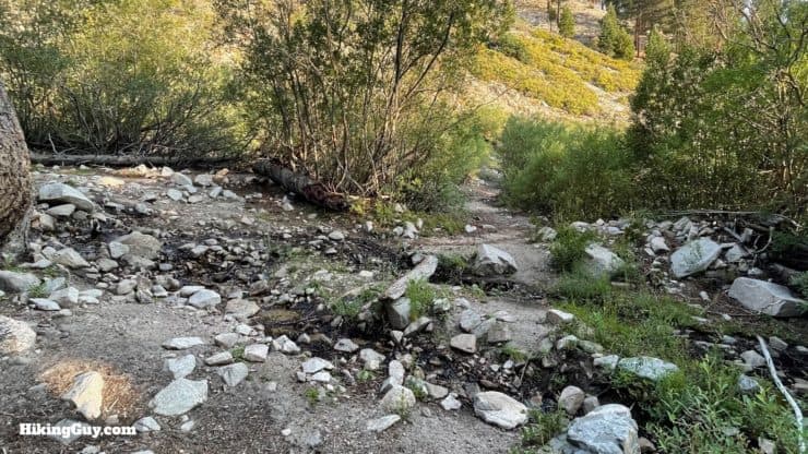
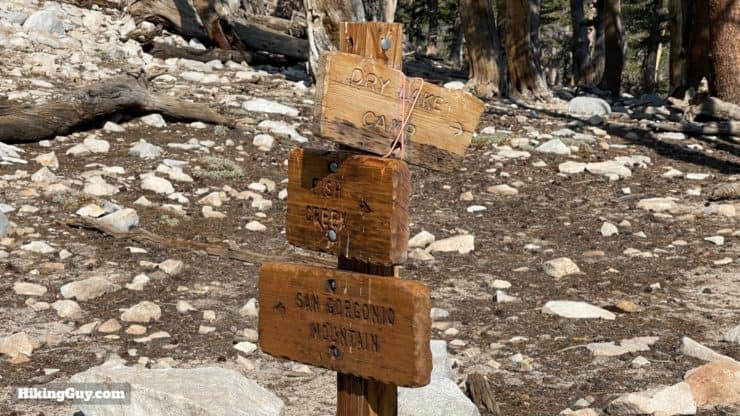
- Fish Creek Camp - Small and mellow site before the real climbing starts, about 1.7 miles in. There's water just past the camp where Fish Creek crosses the trail.
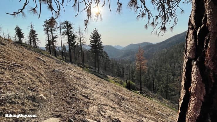
- Fish Creek Saddle - At the top of the first climb, this saddle area is wooded and mellow. There's no water here. If you camp, you can do a quick hike up to nearby Grinnell Mountain, which has incredible views.
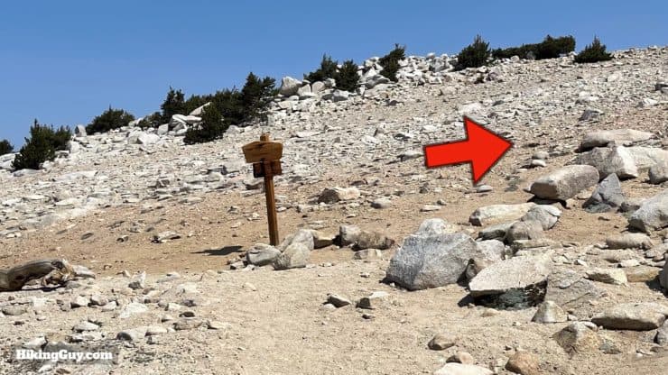
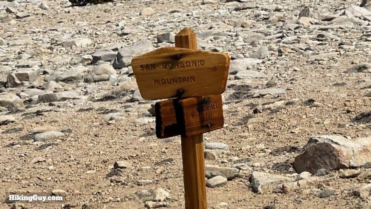
- Mine Shaft Flat / Saddle - A few exposed sites at almost 10,000 feet with nice views down to North Fork Meadows.
- Big Tree - It's not on this trail, but just 3 miles off the route on the North Fork Meadows Trail. Big Tree is one of the most isolated campsites in the whole wilderness. The actual campsite is about 1 mile past where the trail ends on the maps, and I marked it on the interactive map below.
- Summit - You can camp in one of the stone rings at the summit (it's windy), or in the official campsite just southwest of the summit, which is flat, sandy, and more protected.
Gear For the Hike
This is a proper backcountry hike in the mountains and you should prepare accordingly. Bring layers and shells for changing weather conditions. In the winter, snow closes this route unless you are comfortable mountaineering. There is water along the beginning of the trail, the last spot being just past Fish Creek Camp. In the late summer these can dry up. I usually bring 3L and cache a 1.5L bottle at Fish Creek Saddle. The gentle gradient on the trail makes trekking poles unnecessary unless you usually hike with them.
Gear That I Love Right Now
Nothing is sponsored or promoted, just the actual gear that I use.


Check out the complete list here. ( Updated July 2024)
Fish Creek Trail Maps
How Will You Navigate?
 Using the Apple Watch for Hiking
 Garmin Fenix 7 & Epix Review For Hikers
 How To Read a Topographic Map
 Garmin GPSMAP 67i Review
Elevation Profile
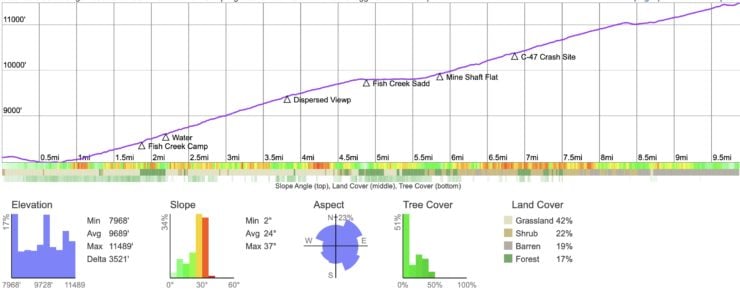
Landmarks on the Hike
| Landmark | Distance | Elevation |
|---|---|---|
| Trailhead | 0 | 8180 |
| Fish Creek Camp | 1.7 | 8600 |
| Fish Creek Saddle | 5.1 | 9900 |
| Mine Shaft Saddle | 6 | 9960 |
| C-47 Crash | 7 | 10400 |
| Summit Trail Junction | 9.5 | 11350 |
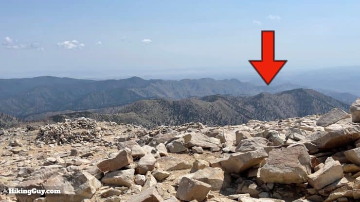
| Summit | 10.25 | 11503 |
3D Map
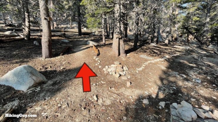
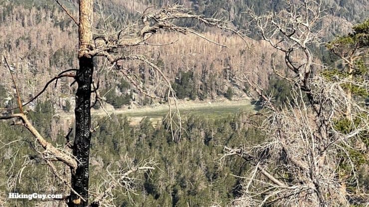
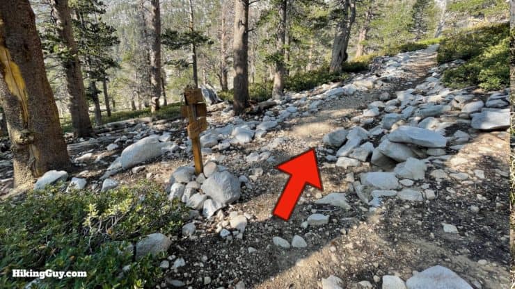
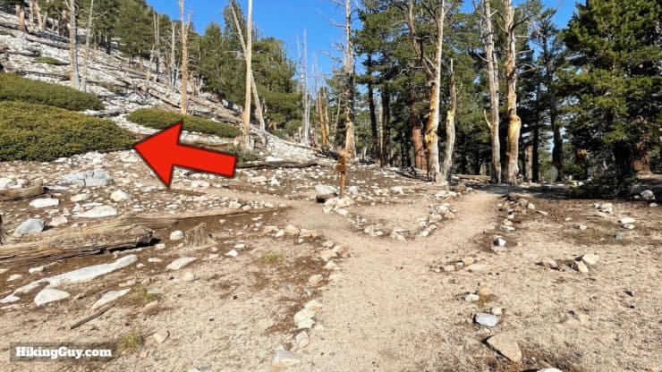
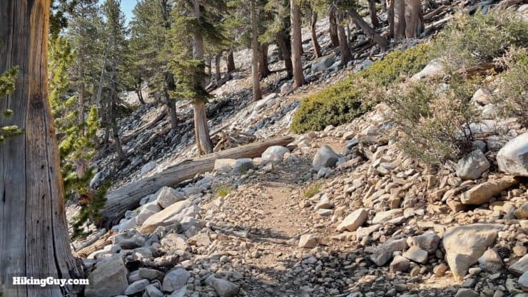
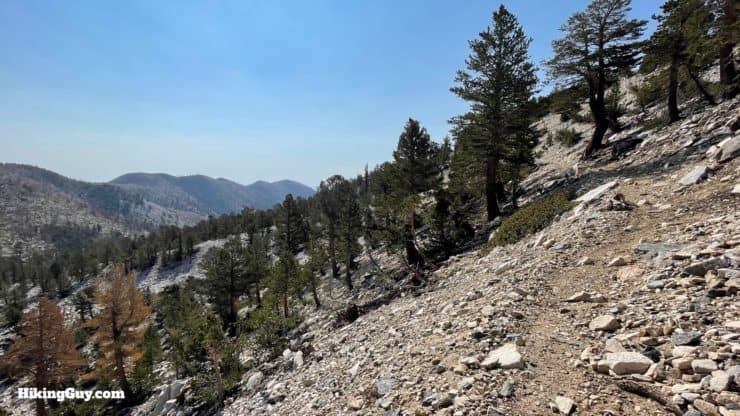
Fish Creek Trail to San G Hike Directions
Did you know that before the Wilderness Act of 1964 protected San Gorgonio Mountain, there were plans to build a ski resort on it? Yup. The Defenders of the San Gorgonio Wilderness, the predecessor of the San Gorgonio Wilderness Association, helped protect the area before (and after) the Federal act kicked in.
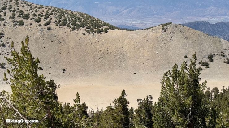
To see what this area could potentially look like after 50 years of recovery, check out the nearby Exploration Trail, which has recovered from the 1970 Bear Fire.

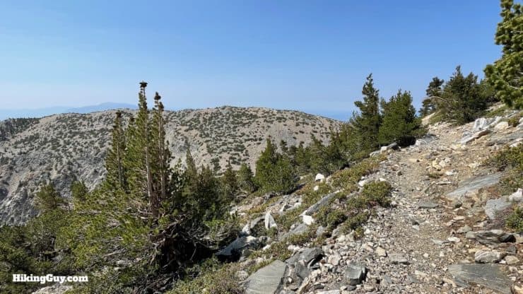
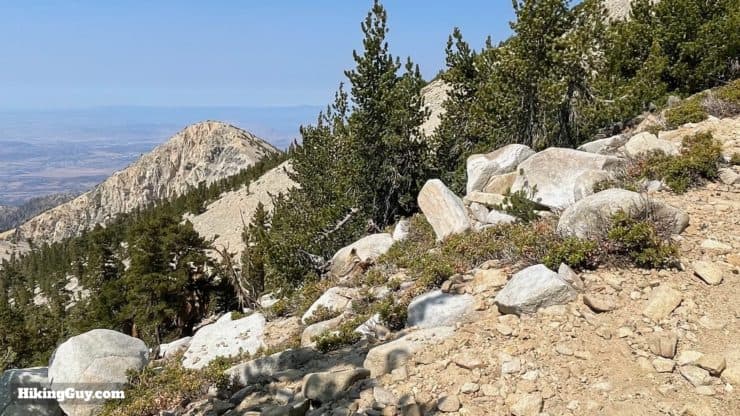
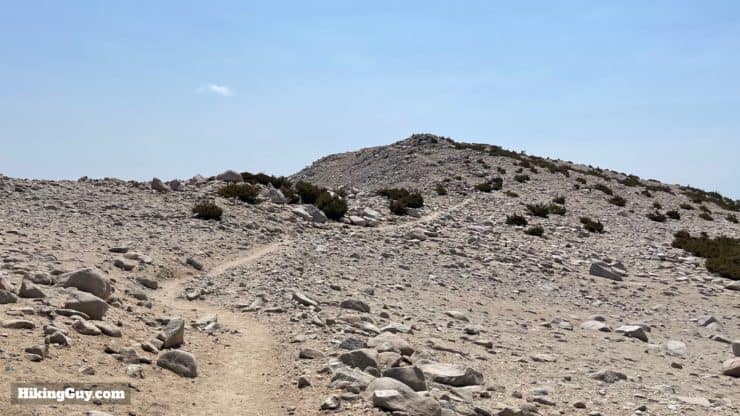
The mountain peak back to your left at this junction is called Grinnell Mountain, after Joseph Grinell, the famous biologist who studied in this area. Originally it was called Fish Creek Mountain. There's a faint use trail to the summit; it's about 1 mile each way.
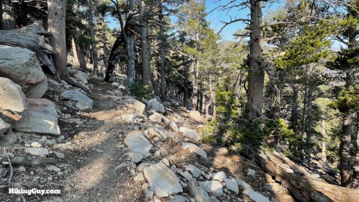
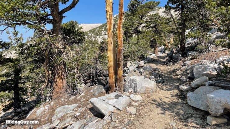
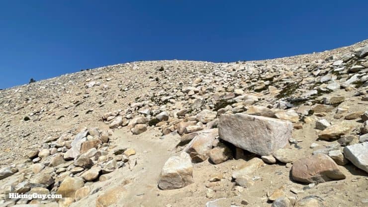
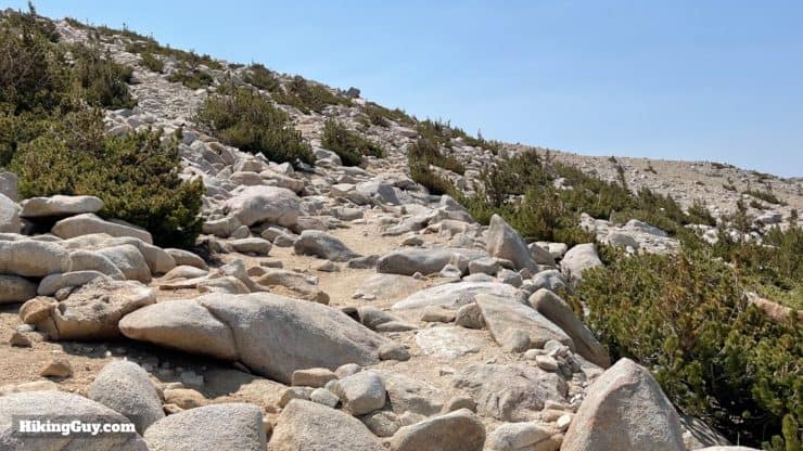
Tbe Sky High Trail was built in the summers of 1965 and 66 using shovels, crowbars, and dynamite. It was modeled after the steady and switchbacked climbs of the Sierra Nevada.
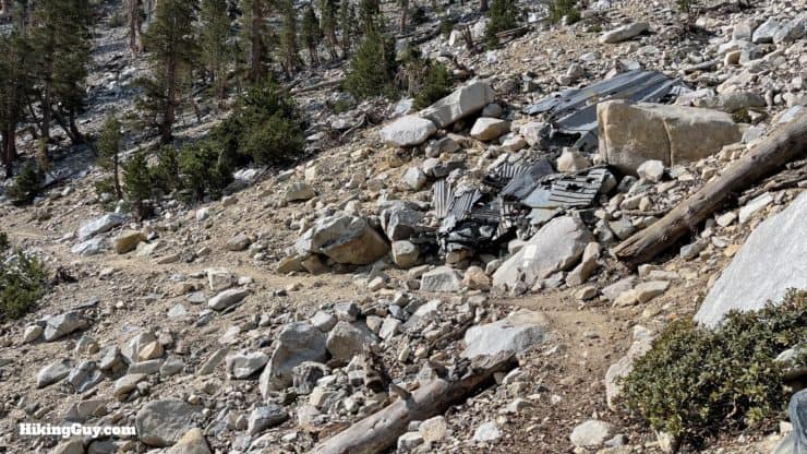
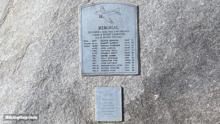
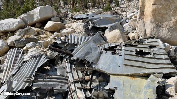
This Air Force C-47D crashed during a snow storm on December 1, 1952. It was flying from Offutt Air Force Base in Omaha, making stops in New Mexico and Arizona on the way to nearby Norton Air Force Base. Bad weather kept rescue crews at bay for three weeks after the crash. When they finally reached the crash site, it was covered in 12 feet of snow. The rescue mission was dangerous as well; a Sikorsky HRS-2 helicopter had to crash land at Mine Shaft Saddle (you can still find the rotor if you look around). The bodies of the victims weren't retrieved until the following May when the snows melted. Three of the men had survived the crash but froze to death.
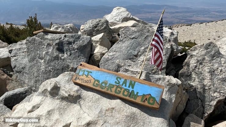
Before the 1960s hikers would scratch their names onto the rocks when they summited. The Forest Service started leaving wood boards at the summit where they could scratch their names instead, which then became trail registers. Today those wood boards have evolved into the photo-friendly summit signs you see today.
Need More Info?
- Have a question about the guide? Join my Patreon and ask me a question.
- When planning, always check the park website and social media to make sure the trails are open. Similarly, check the weather and road conditions.
- Do you have an update to this guide? View the Youtube comments for this video. Leave a comment and I will do my best to update the guide.
Related Guides
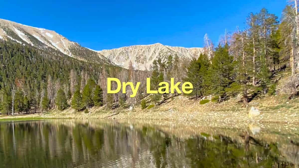 Dry Lake (San Gorgonio) From The South Fork Trail
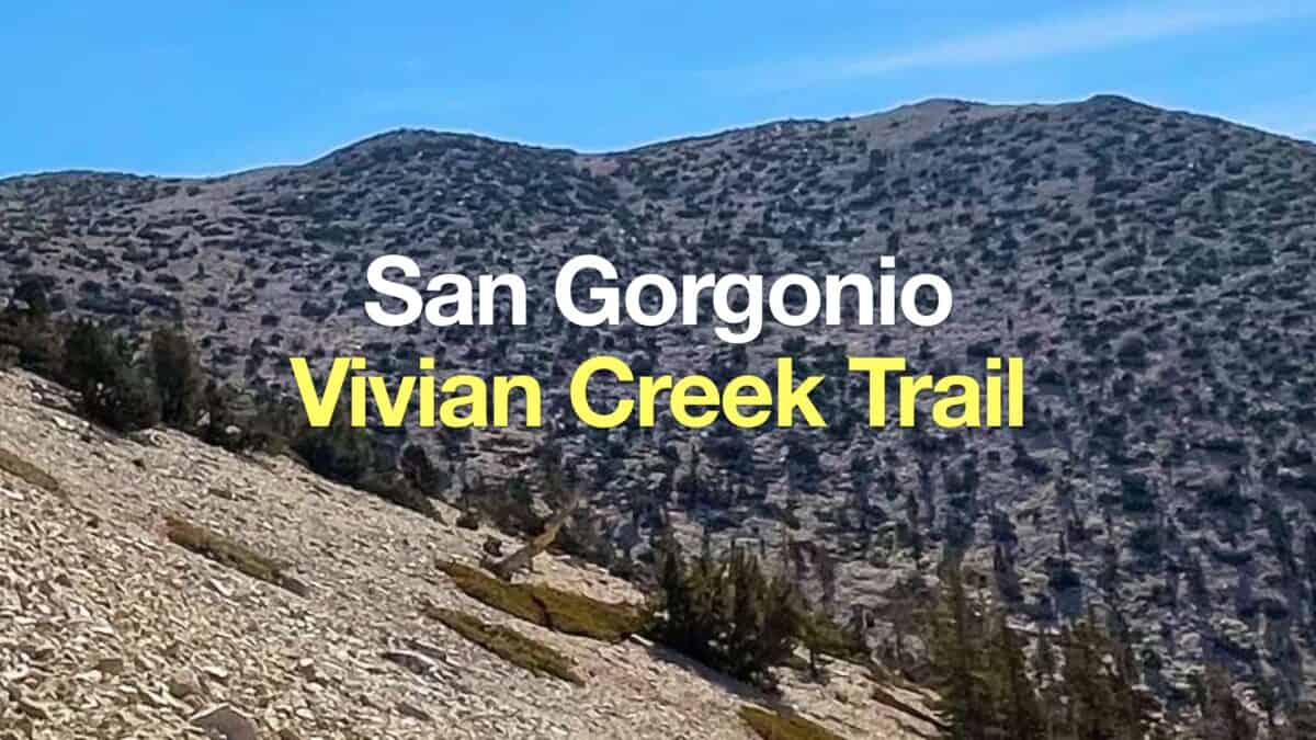 San Gorgonio Hike on the Vivian Creek Trail
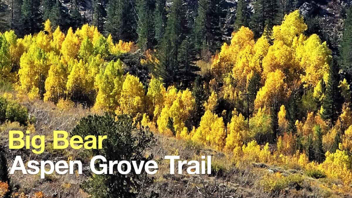 Big Bear Aspen Grove Trail Hike
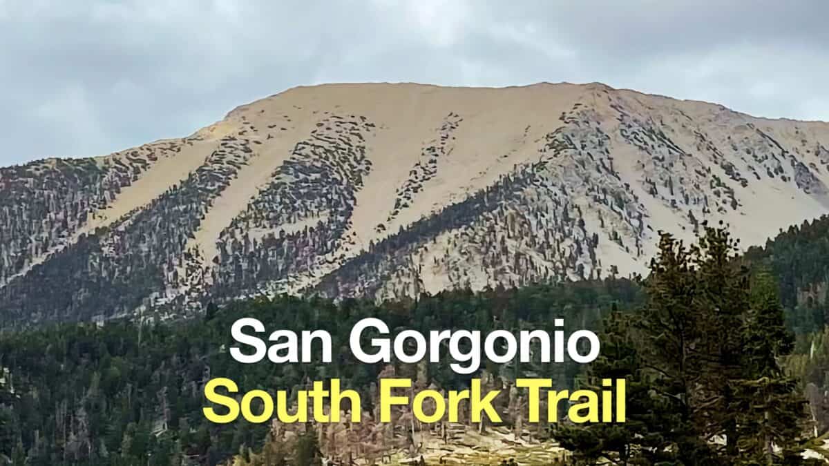 South Fork Trail to San Gorgonio Mountain
 Los Angeles Hikes
 Backpacking Trips
 LA Mountain Hikes
 San Bernardino National Forest Hiking Trails
 San Gorgonio Wilderness Hikes
 Sand to Snow National Monument Hikes
 Sierra Club 100 Peaks
Popular Guides
 Best Hiking Gear 2024
 Hiking Boots or Shoes: Do I Really Need Hiking Boots?
 When to Hit SOS on inReach
This Guide Was Written by Cris Hazzard

Hi, I'm Cris Hazzard, aka Hiking Guy, a professional outdoors guide, hiking expert, and author based in Southern California. I created this website to share all the great hikes I do with everyone else out there. This site is different because it gives detailed directions that even the beginning hiker can follow. I also share what hiking gear works and doesn't so you don't waste money. I don't do sponsored or promoted content; I share only the gear recommendations, hikes, and tips that I would with my family and friends. If you like the website and YouTube channel, please support these free guides (I couldn't do it without folks like you!). You can stay up to date with my new guides by following me on YouTube, Instagram, or by subscribing to my monthly newsletter.