
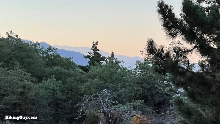
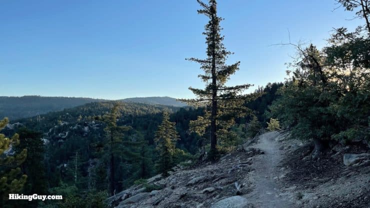
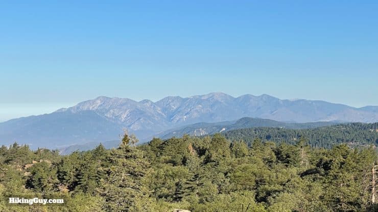
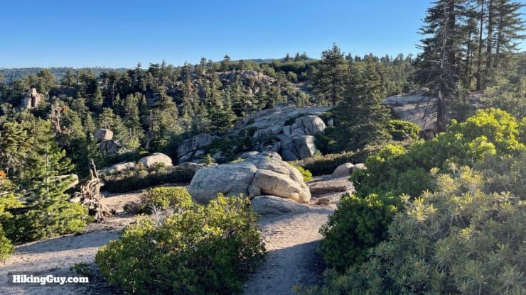
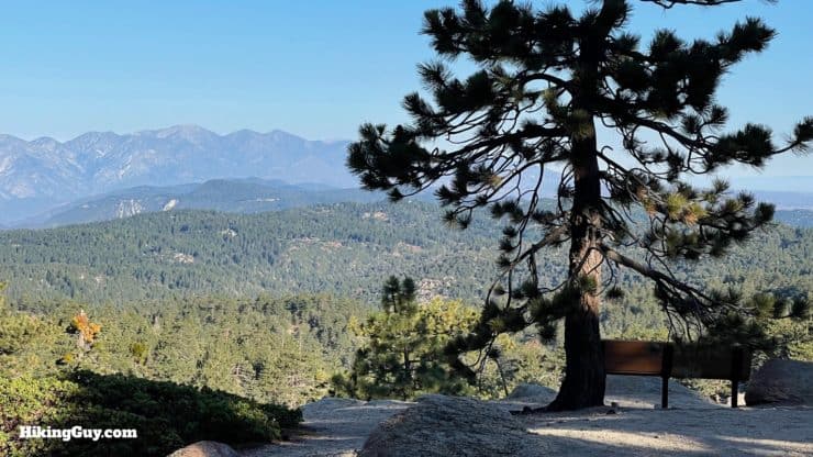
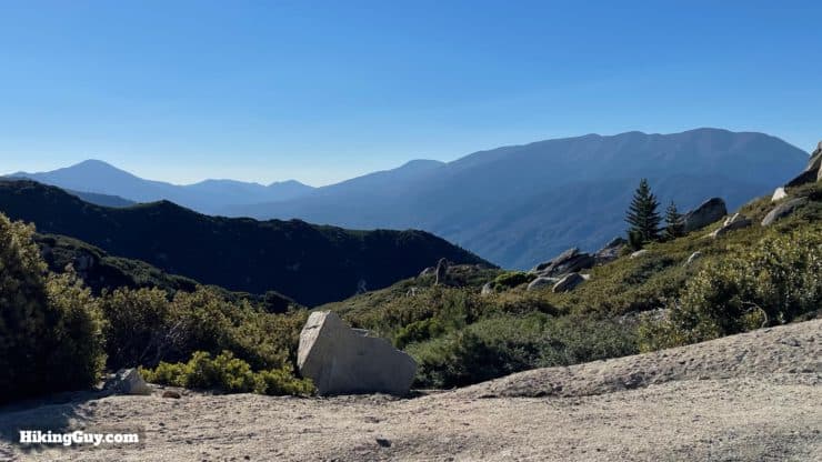
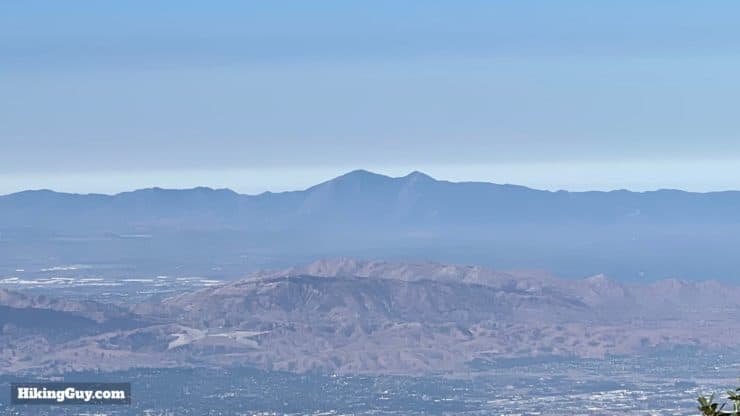
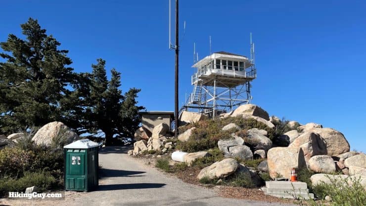
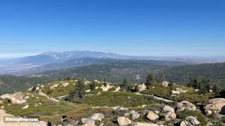
Off the radar of most hikers, the Exploration Trail to Keller Peak is a scenic adventure that's not too hard but also packs in some great trail highlights. The entire area you hike through was devastated by the 1970 Bear Fire; today, as you hike, you can experience what a half-century of recovery looks like (it's good). Along the way, you'll get some epic views of the Angeles National Forest and the surrounding high peaks. At Keller Peak, you can experience the oldest standing fire tower in Southern California, dating back to 1926.
- Video and Turn-by-Turn Directions to Keller Peak on the Exploration Trail
- How to Get to the Trailhead (near Big Bear, CA)
- Insider Tips, Gear Recommendations, and Maps for the Hike
Where is the Exploration Trail?
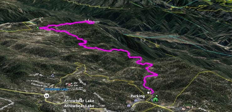
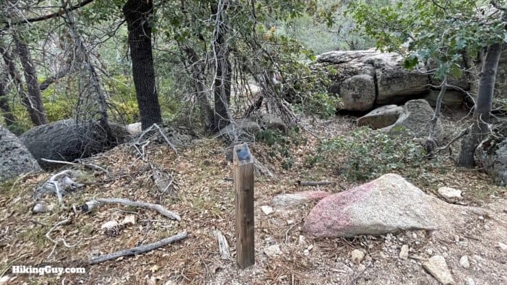
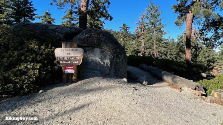
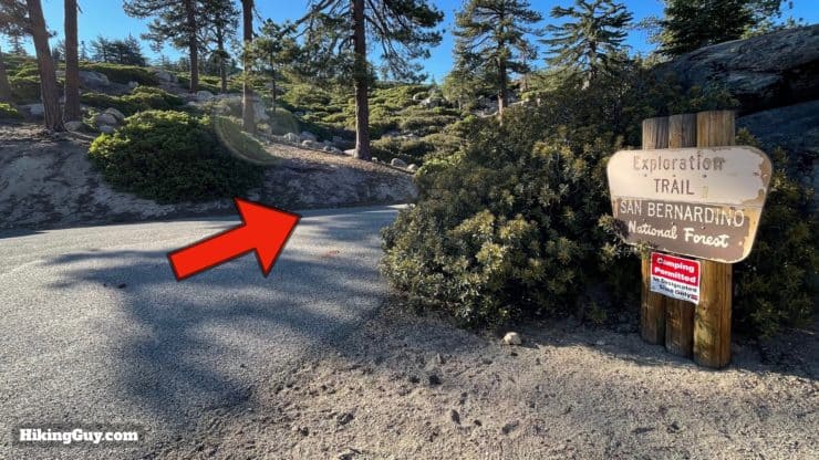
The Exploration Trail is point-to-point and has two trailheads. We're going to start this hike at the lower trailhead and then hike uphill to Keller Peak. You can find the quiet trailhead just off of busy Rt-18, past the Deer Lick Fire Station at:
Exploration Trail 2W09X, Keller Peak Rd, Big Bear, CA 92314
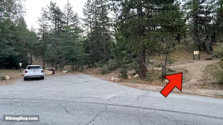
There are no bathrooms or water fills at the trailhead.
Gear For the Hike
While this isn't an extreme mountain hike, you are still in the high country and I recommend regular hiking gear.
- I usually take about 2L of water in normal conditions.
- Bring extra layers in case the weather changes.
- The trail has a good amount of shade.
- The last 1.5 miles is on pavement, so having trail runners or non-clunky hiking footwear is a good bet.
- In the winter the trail can be covered in snow and offers a great opportunity for snow-shoeing.
Gear That I Love Right Now
Nothing is sponsored or promoted, just the actual gear that I use.


Check out the complete list here. ( Updated July 2024)
Trail Maps
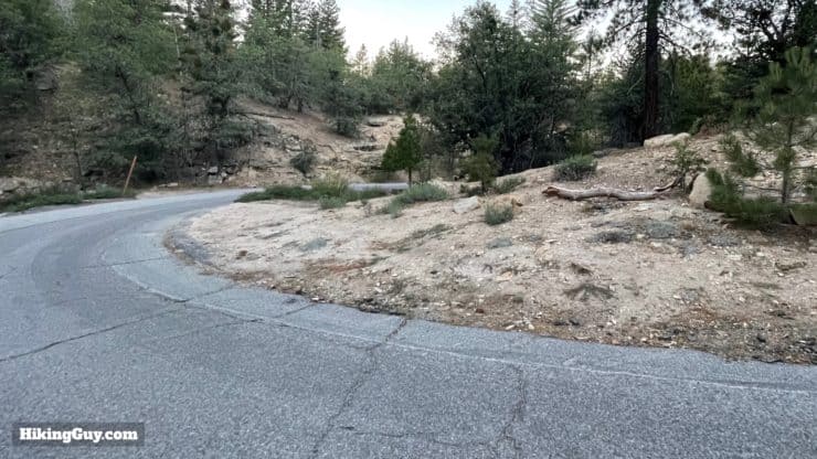
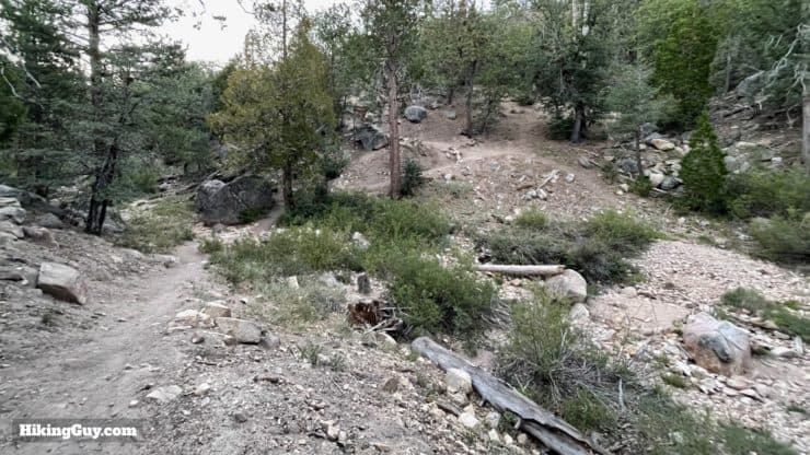
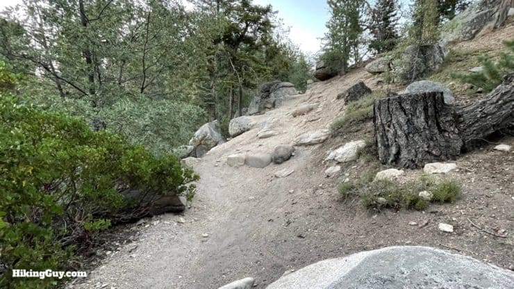
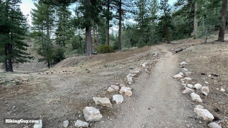
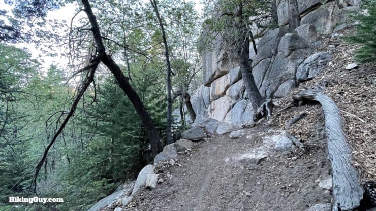
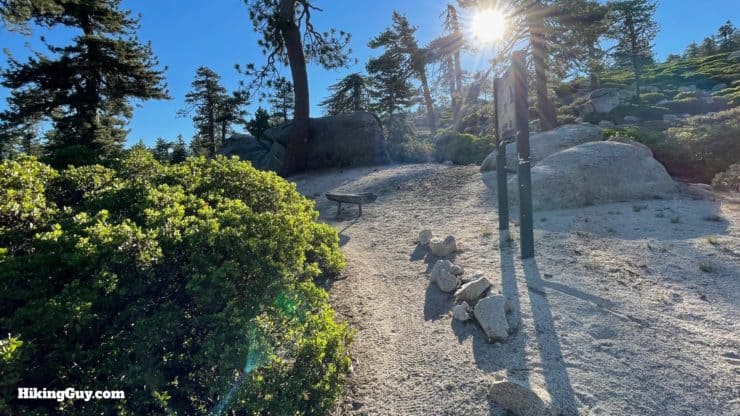
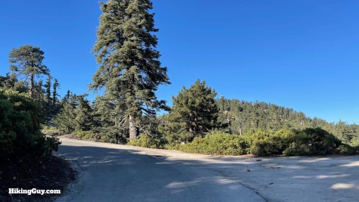
The section of the hike on the Exploration Trail is a gradual uphill dirt trail. Keep your eyes and ears open for mountain bikes that share the trail. You'll have a short but very scenic walk up paved Keller Peak Rd to reach the summit and fire tower when the Exploration Trail ends.
How Will You Navigate?
 Using the Apple Watch for Hiking
 Garmin Fenix 7 & Epix Review For Hikers
 How To Read a Topographic Map
 Garmin GPSMAP 67i Review
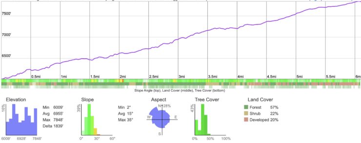
Elevation Profile
3D Map
Hike Brief
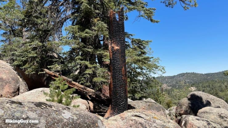
- It's impressive how healthy this area is after half a century of recovery from the 1970 Bear Fire, which burned 51,000 acres, including this hike route. Hopefully if you're still hiking in 50 years, the areas damaged by recent fires will be as healthy as this. Everything you see on the Exploration Trail has grown back in the half-century since then, and is called "second-growth forest."
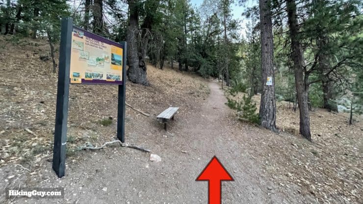
- The Exploration Trail was built in 2000, and included input from the nearby National Children's Forest Youth Leaders. Today they still help maintain the trail. There are several Children's Forests located in the USA, created to help kids and families connect with the outdoors.
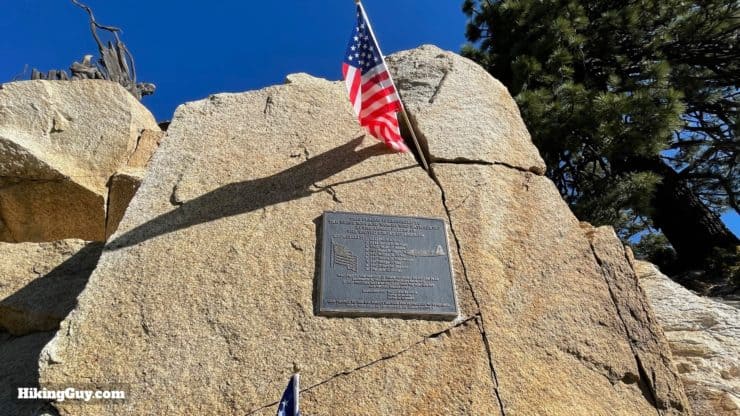
- As you approach the summit of Keller Peak, you'll see a memorial to a B-26 bomber crew that lost their lives here in 1941 when their plane slammed into the mountainside. Originally from a squadron in Virginia, the bomber had been rushed out west in the weeks after Pearl Harbor. The plane flew from Edwards AFB to March Field in Riverside when it crashed trying to navigate the Cajon Pass in bad weather. The rest of the squadron went on to fight in the battle of Midway.

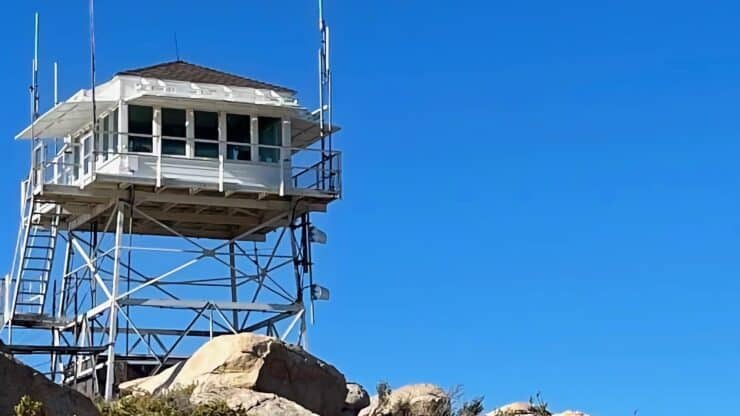
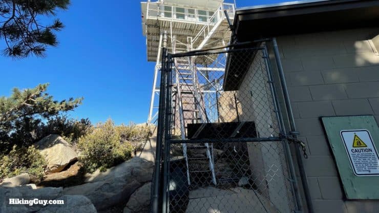
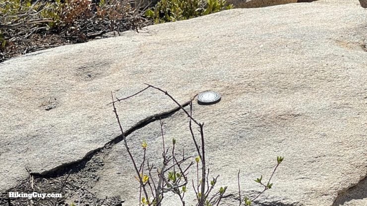
There's still wreckage scattered around the peak, including two Pratt & Whitney R-2800 engines. It's a tough slog through the brush to see them, and not really worth it, so enjoy this photo and focus on the other great parts of the hike. - The Keller Peak Fire Tower, built in 1926, is the oldest standing fire tower in Southern California. It's still used today by fire watch volunteers, and is sometimes open to the public. It's also one of the only fire towers built before the Great Depression.
- Keller Peak is named for Ally Carlin Keller, the son of early pioneers and an employee of the Forest Service.
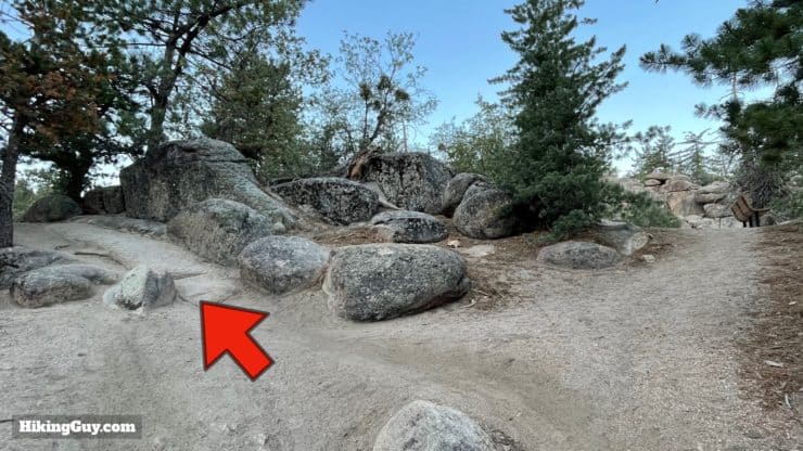
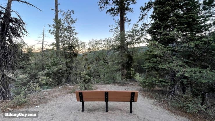
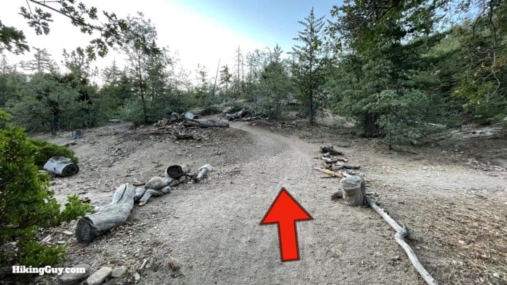
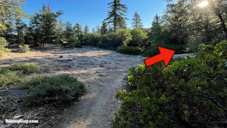
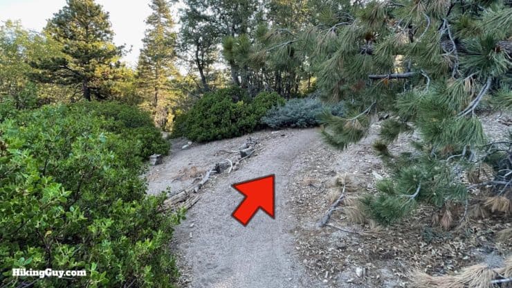
Exploration Trail to Keller Peak Hike Directions
Need More Info?
- Have a question about the guide? Join my Patreon and ask me a question.
- When planning, always check the park website and social media to make sure the trails are open. Similarly, check the weather and road conditions.
- Do you have an update to this guide? View the Youtube comments for this video. Leave a comment and I will do my best to update the guide.
Related Guides
 Pineknot Trail to Grand View Point (Big Bear)
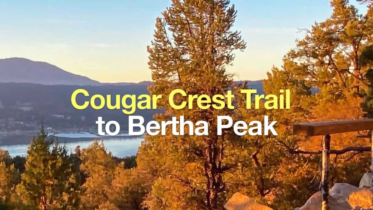 Cougar Crest Trail to Bertha Peak Hike Guide
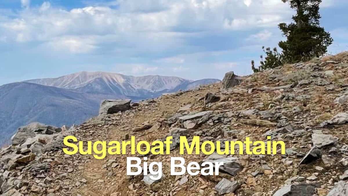 Sugarloaf Mountain Trail Guide - Big Bear
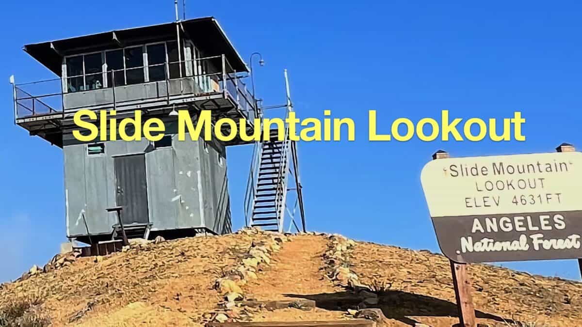 Slide Mountain Lookout Hike
 Los Angeles Hikes
 Big Bear Hikes
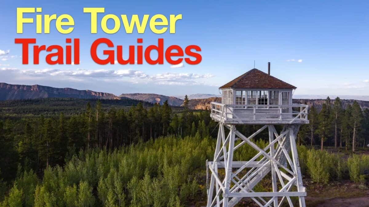 Fire Tower Hikes
 LA Mountain Hikes
 San Bernardino National Forest Hiking Trails
 Sierra Club 100 Peaks
Popular Guides
 Best Hiking Gear 2024
 Hiking Boots or Shoes: Do I Really Need Hiking Boots?
 When to Hit SOS on inReach
This Guide Was Written by Cris Hazzard

Hi, I'm Cris Hazzard, aka Hiking Guy, a professional outdoors guide, hiking expert, and author based in Southern California. I created this website to share all the great hikes I do with everyone else out there. This site is different because it gives detailed directions that even the beginning hiker can follow. I also share what hiking gear works and doesn't so you don't waste money. I don't do sponsored or promoted content; I share only the gear recommendations, hikes, and tips that I would with my family and friends. If you like the website and YouTube channel, please support these free guides (I couldn't do it without folks like you!). You can stay up to date with my new guides by following me on YouTube, Instagram, or by subscribing to my monthly newsletter.