
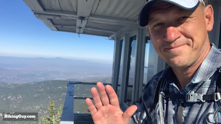
The Tahquitz Peak via Devil's Slide Trail hike is one of the most popular hikes in the San Jacinto area for a reason. The scenery and views are incredible, the trails are in excellent condition and are well-marked, and the summit includes a visit to the highest fire lookout in San Bernardino National Forest at 8,846 feet. Because of its popularity, there are times when you need to apply for a permit and other times that you don't. I'll explain it all in the guide.
- Turn by Turn Hike Directions & Hike Video
- Getting Devil's Slide Trail Permit
- Tahquitz Peak via Devil's Slide Trail Hike Trail Maps
- How to Get to the Devil's Slide Trail Trailhead
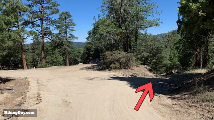
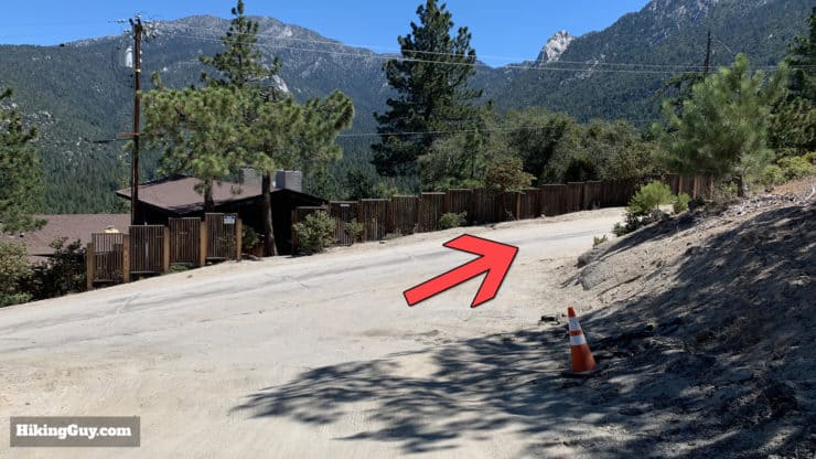
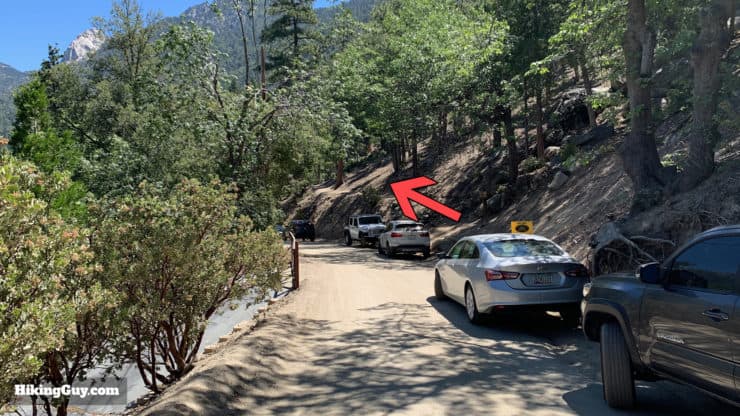
How to Get to the Devil's Slide Trail
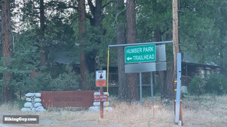
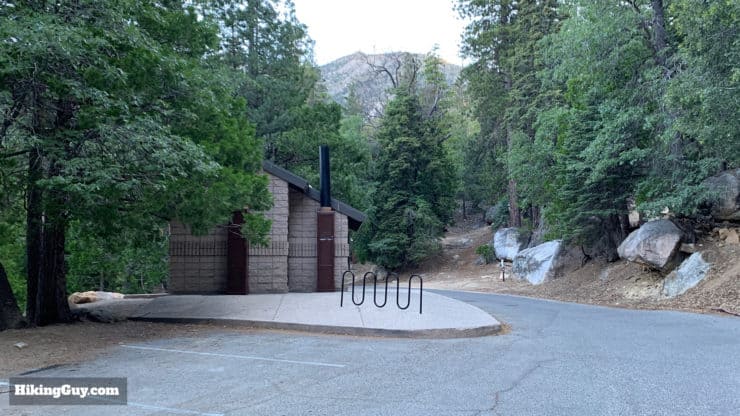
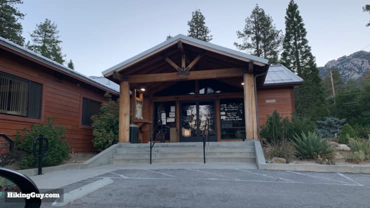
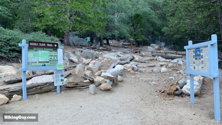
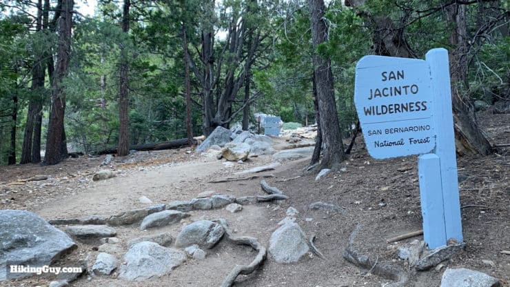
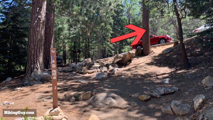
The hike starts and ends in Humber Park, which is also where the start of the Devil's Slide Trail is located. Humber Park is in the small town of Idyllwild, which is a nice spot for lunch or walking around after the hike. You'll also have to stop at the ranger station to get your permit before starting the hike, but luckily it's on the way to the trailhead (more later).
Use this address for Humber Park:
Humber Park, 24559 Fern Valley Rd, Idyllwild, CA 92549
As always, I recommend leaving at sunrise to beat the crowds.
Devil's Slide Trail Permit
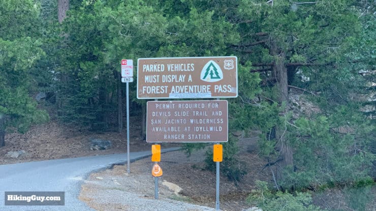
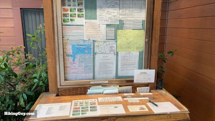
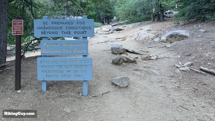
Before you go anywhere on this hike, you'll need to get a permit. The Devil's Slide Trail is the most popular trail in this part of the park, so the park service sometimes controls access to it with a daily quota of 30 hikers. It can be very easy or slightly less easy depending on when you're doing the hike.
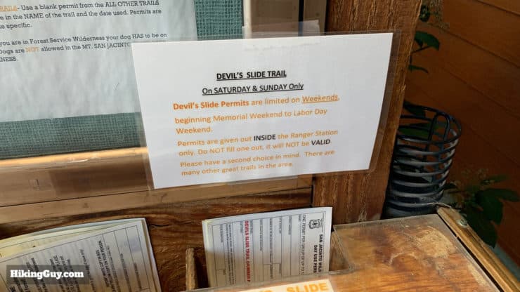
- If you're hiking on a weekend between Memorial and Labor days, there is a quota in effect for the Devil's Slide Trail, and you need to secure a specific Devil's Slide Trail (quota) permit with the rangers.
- If you're hiking any other time, you just fill out a free day-use permit in front of the ranger station and put it in the box. There are no quotas and no need to check with the rangers.
Getting a Devil's Slide Trail Quota Permit
If you do need a quota permit, here's what you need to do:
- Just show up at the ranger station the day that you want to hike and see if there are any slots open.
OR if you want to plan in advance:
- Call the San Jacinto ranger station in Idyllwild and ask if there is space available on the day you want to hike. They allow a portion of the quota to be booked in advance.
- They will give you instructions on how to get your permit, but the process goes like this:
- Fill out the permit PDF and fax it to the ranger station (yea, I know...), then they fax it back to you
- Or you can send it in with snail mail and they'll send a permit back to you
- You bring the permit on your hike
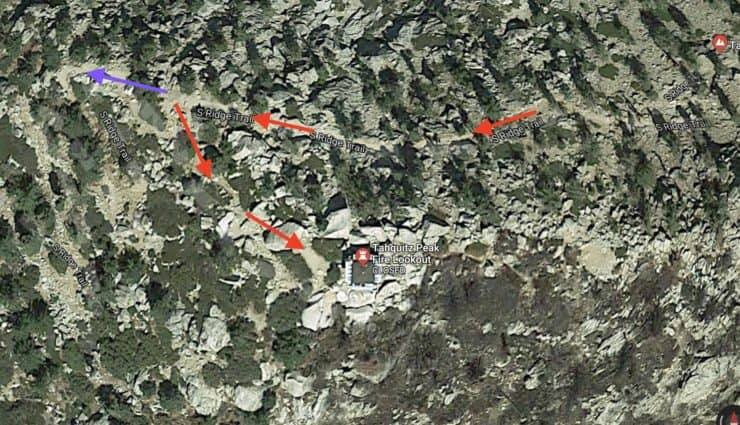
It might just be easier to do it on a weekday or outside of the summer months, right? If you can't get a permit and you want to hike to the fire tower on a quota day, drive to the South Ridge Trailhead and hike up from there.
Rangers actively check quota permits at the Devil's Slide Trailhead on summer weekends.
Getting a Free Day-Use Permit
The good news is that the ranger station is on the way to Humber Park, and if you just need a free day-use permit, you simply fill a form out at the kiosk in front of the entrance. The ranger station doesn't need to be open to fill out a permit. You just fill out the form, sign it, and drop it in the box.
Gear for the Hike
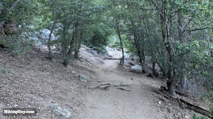
This is a tough mountain hike even though it's not long. In the summer it can be very hot, in the winter icy and cold. I bring 2L of water, 3L if it's hot or if I'm doing the full loop option. There's a decent amount of shade and only some very small spring crossings. If trekking poles help you on climbs and descents, they will come in handy on this hike.
If there are winter conditions, call the ranger station for a gut check on whether it's okay without mountaineering gear. Sometimes there is enough snow up there that it's not advisable to do the hike.
If you want to check if there's snow on your hike, read this guide.
Gear That I Love Right Now
Nothing is sponsored or promoted, just the actual gear that I use.


Check out the complete list here. ( Updated July 2024)
Tahquitz Peak Trail Maps
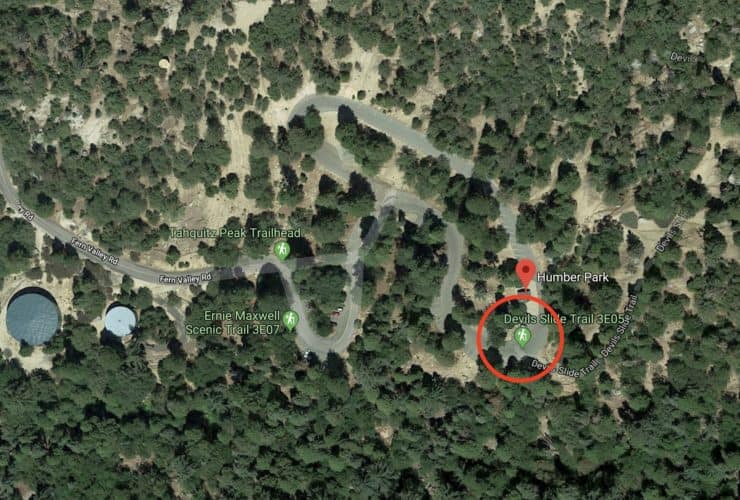
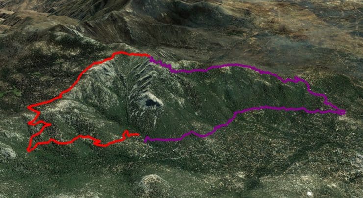
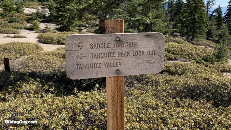
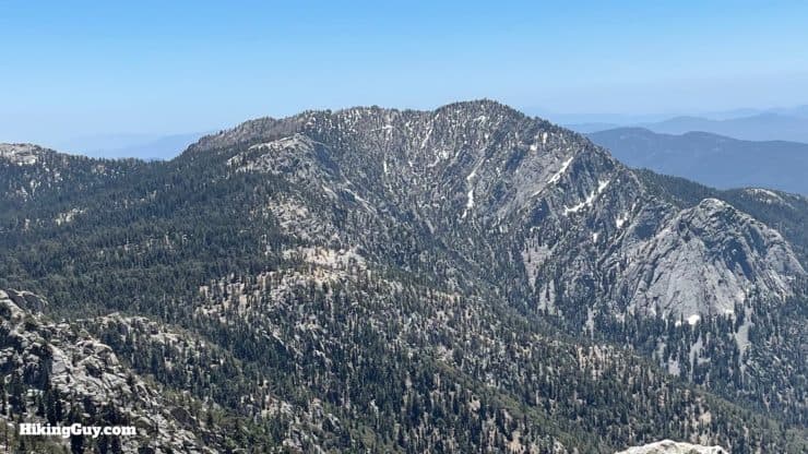
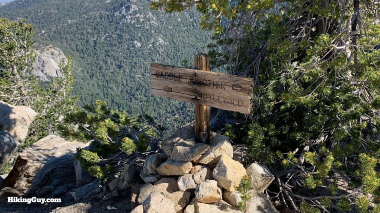
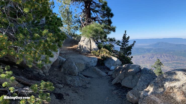
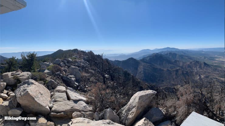
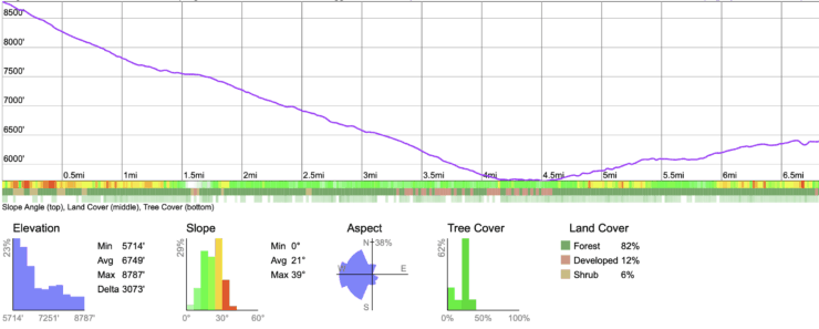
This route to Tahquitz Peak takes the Devil's Slide Trail up to Saddle Junction, then follows a portion of the Pacific Crest Trail (PCT), and then branches off the PCT to the peak and fire tower. The entire trail is beautiful, and doing it as an out-and-back route is a good choice that jam-packed with scenery and views.
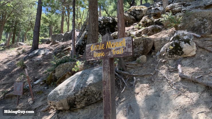
I also included an optional loop trail that takes you to the peak on the Devil's Slide Trail, and then brings you back down on the South Ridge Trail to Idyllwild, and then up the Ernie Maxwell Scenic Trail to Humber Park. I'm a loop-trail kind of guy, and I generally do the hike this way.
I've included both options in the map below and in the GPX and printable maps.
How Will You Navigate?
 Using the Apple Watch for Hiking
 Garmin Fenix 7 & Epix Review For Hikers
 How To Read a Topographic Map
 Garmin GPSMAP 67i Review
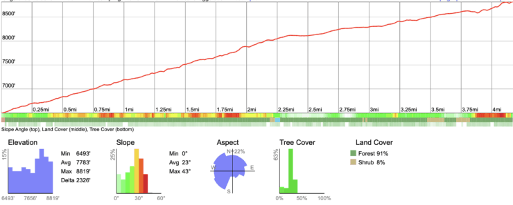
There's also this handy park service trail map that lays out the trails nicely.
Hike Briefing
- There is some debate about how to correctly pronounce Tahquitz, but most folks just say TA-KWITZ
- According to Native Soboba tradition, Tahquitz is a demon who lives in the peak and is better left undisturbed. There's a whole legend about Tahquitz that you can read here.
- Tahquitz is featured in the Louis L'Amour novel The Lonesome Gods: An Epic Novel of the California Desert.
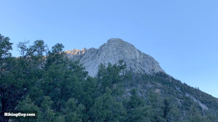
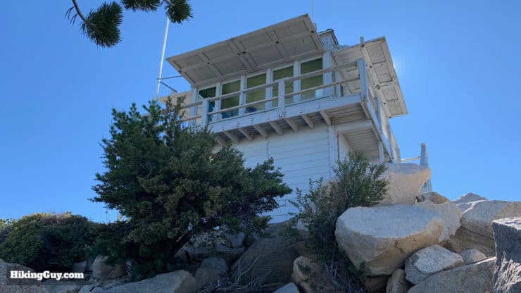
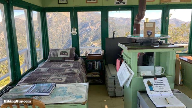
- The fire lookout on the summit was built in 1937 and is not only the highest lookout in the San Bernardino National Forest, but also the forest’s longest continuously operated one. Volunteers man the tower looking for forest fires in the surrounding San Jacinto range. Because no power tools are allowed in the forest (not even battery-powered ones), all improvements and fixes on the tower must be done with hand tools.
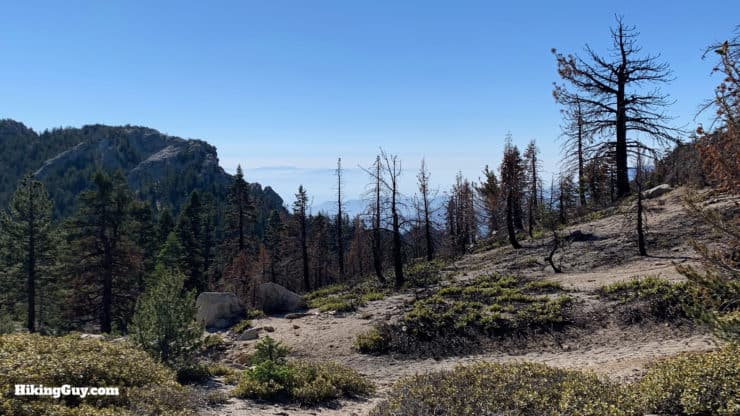
- You might see evidence of the massive Cranston Fire on the hike, which was started by an arsonist and stopped at Tahquitz Peak and the fire tower.
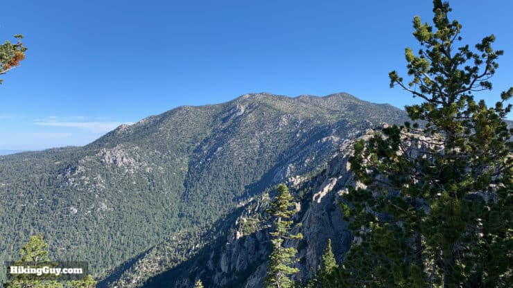
- It can get confusing, but there are two peaks which are called Tahquitz, Tahquitz Rock and Tahquitz Peak. Tahquitz Rock is also known as Lily Rock and is the smaller peak between the trailhead and the tower. Tahquitz Peak is where the fire tower is.
- The high granite walls in the area became popular with early rock-climbers, and the Yosemite Decimal System of grading climbs was refined on the faces of Tahquitz. Note that there is no rock climbing or scrambling on this hike, just easy to follow trails.
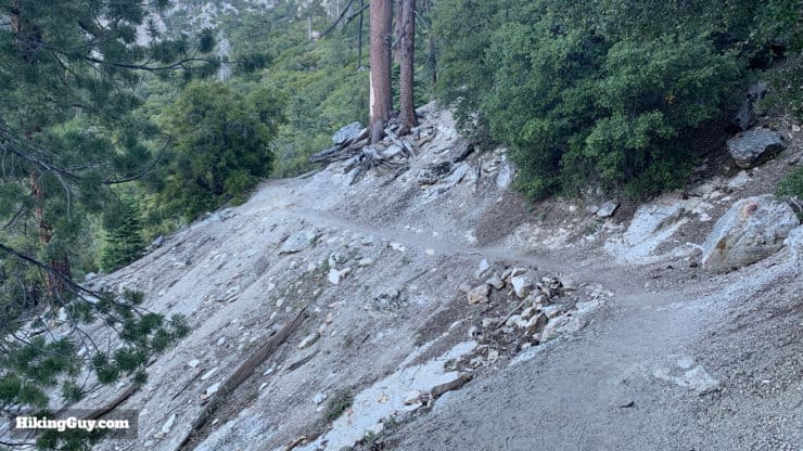
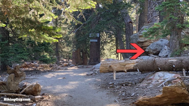
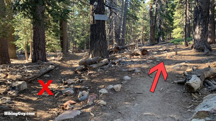
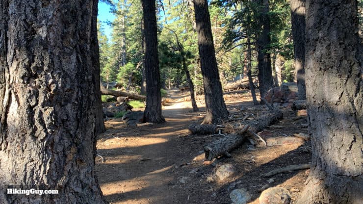
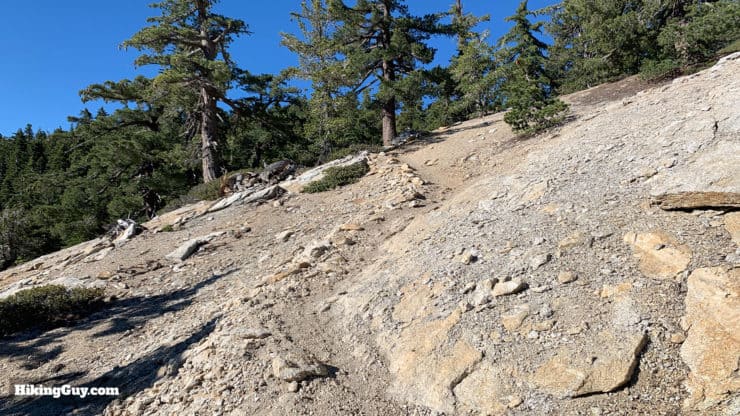
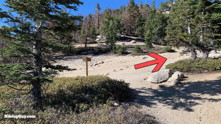
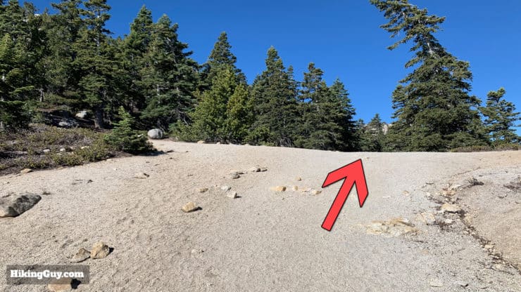
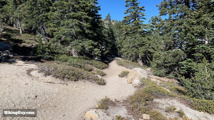
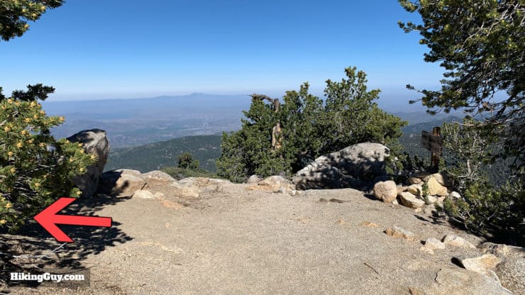
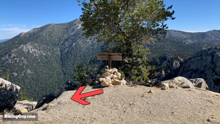
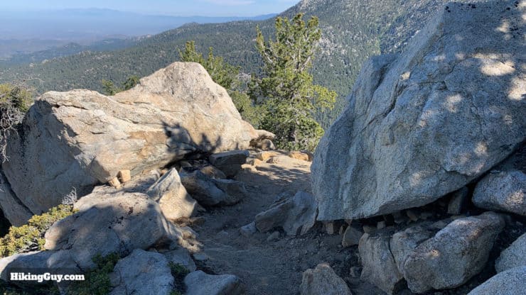
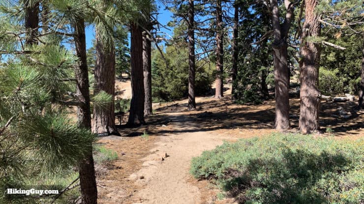
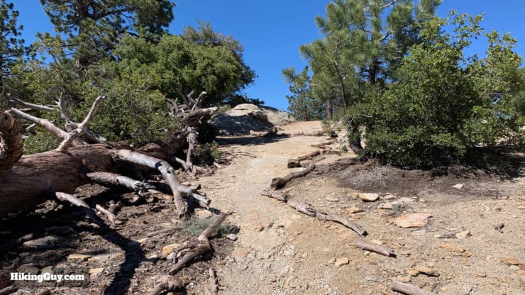
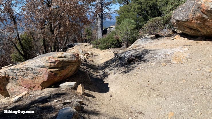
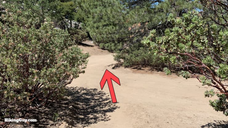
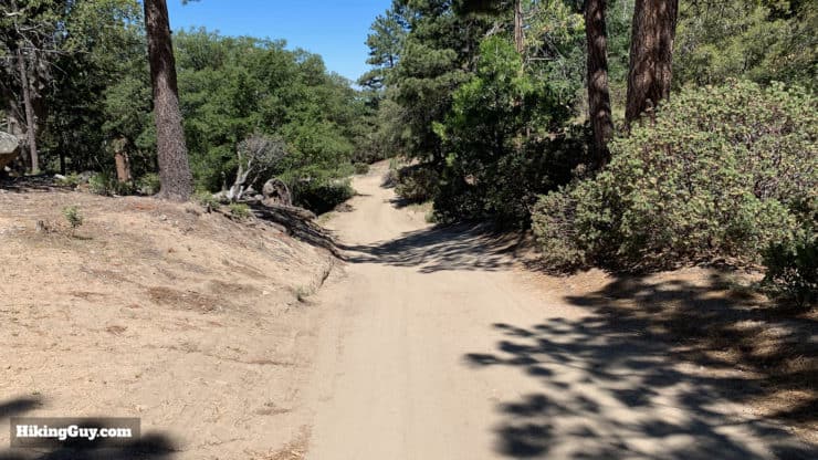
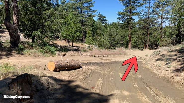
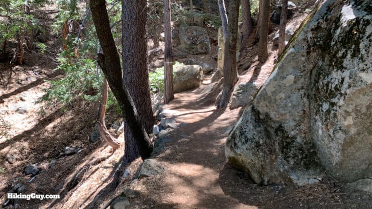
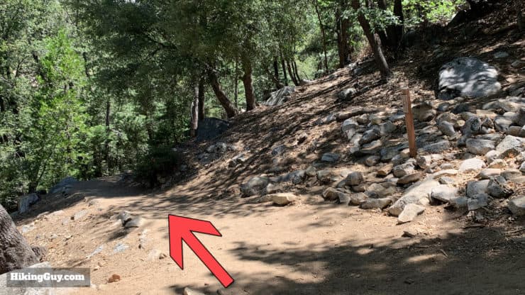
Tahquitz Peak via Devil's Slide Trail Directions
Optional Loop Hike on South Ridge Trail
If you don't want to go back down the way you came up, follow these directions for the full loop, which adds another 3 miles and an hour or so to the hike.
Need More Info?
- Have a question about the guide? Join my Patreon and ask me a question.
- When planning, always check the park website and social media to make sure the trails are open. Similarly, check the weather and road conditions.
- Do you have an update to this guide? View the Youtube comments for this video. Leave a comment and I will do my best to update the guide.
Related Guides
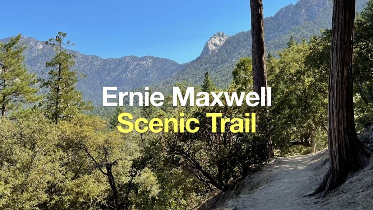 Ernie Maxwell Scenic Trail Hike
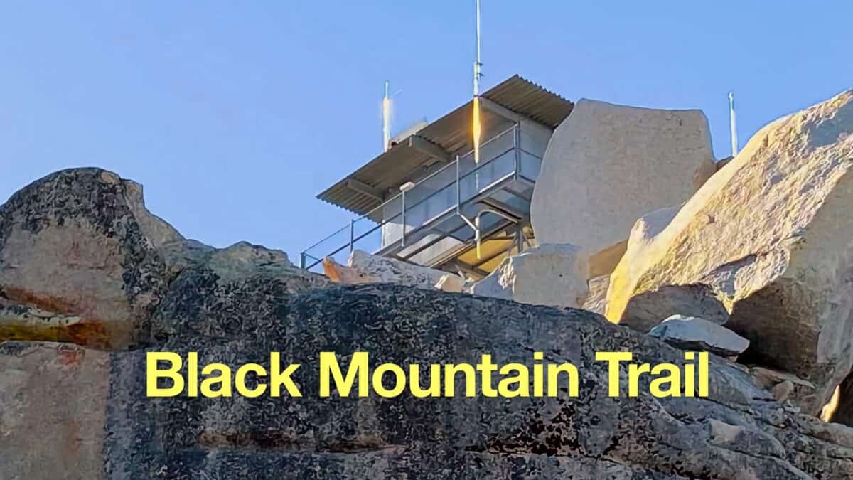 Black Mountain Trail to the Fire Lookout (Idyllwild, CA)
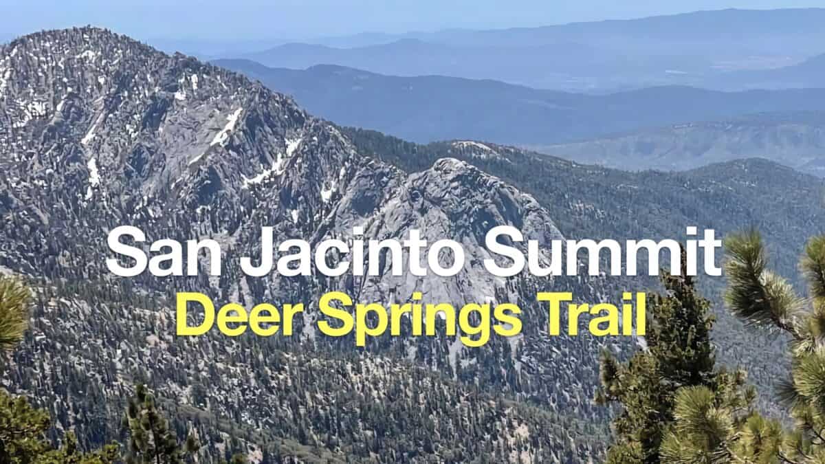 Hike Mt San Jacinto Peak on the Deer Springs Trail
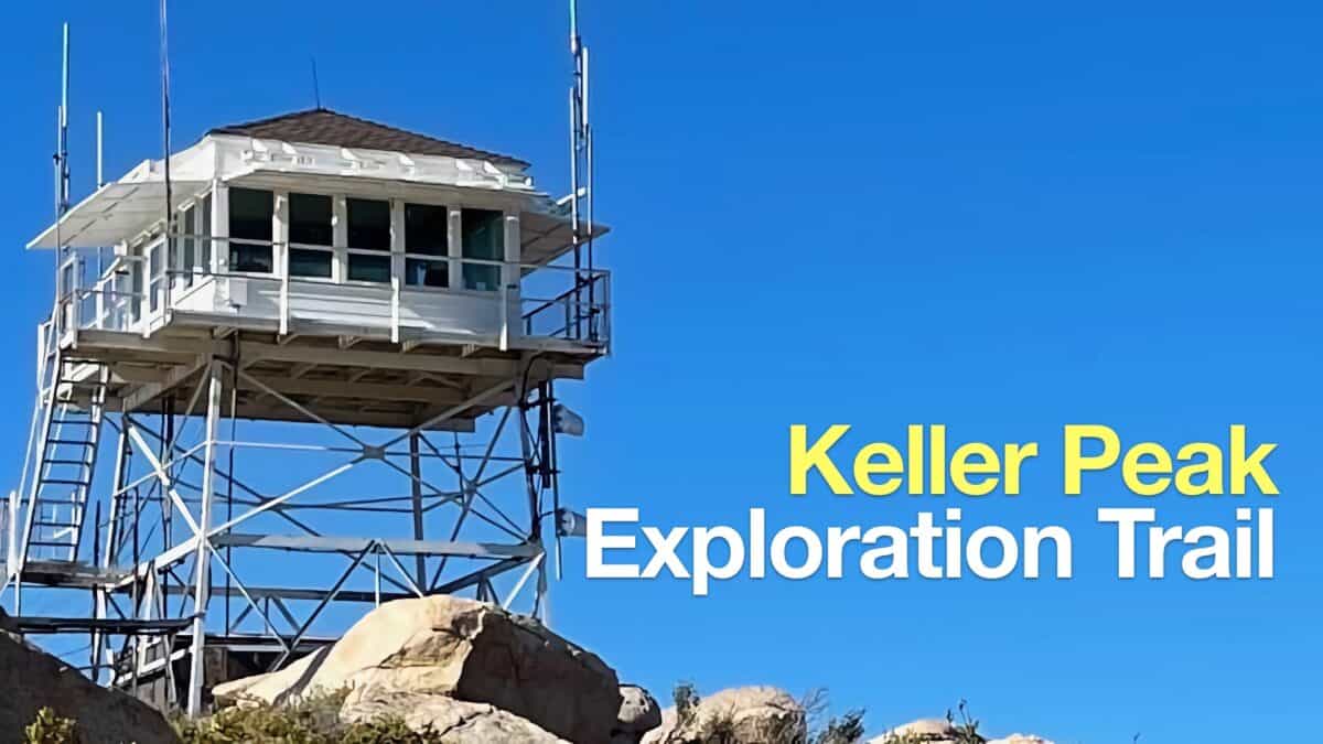 Hike Keller Peak on the Exploration Trail
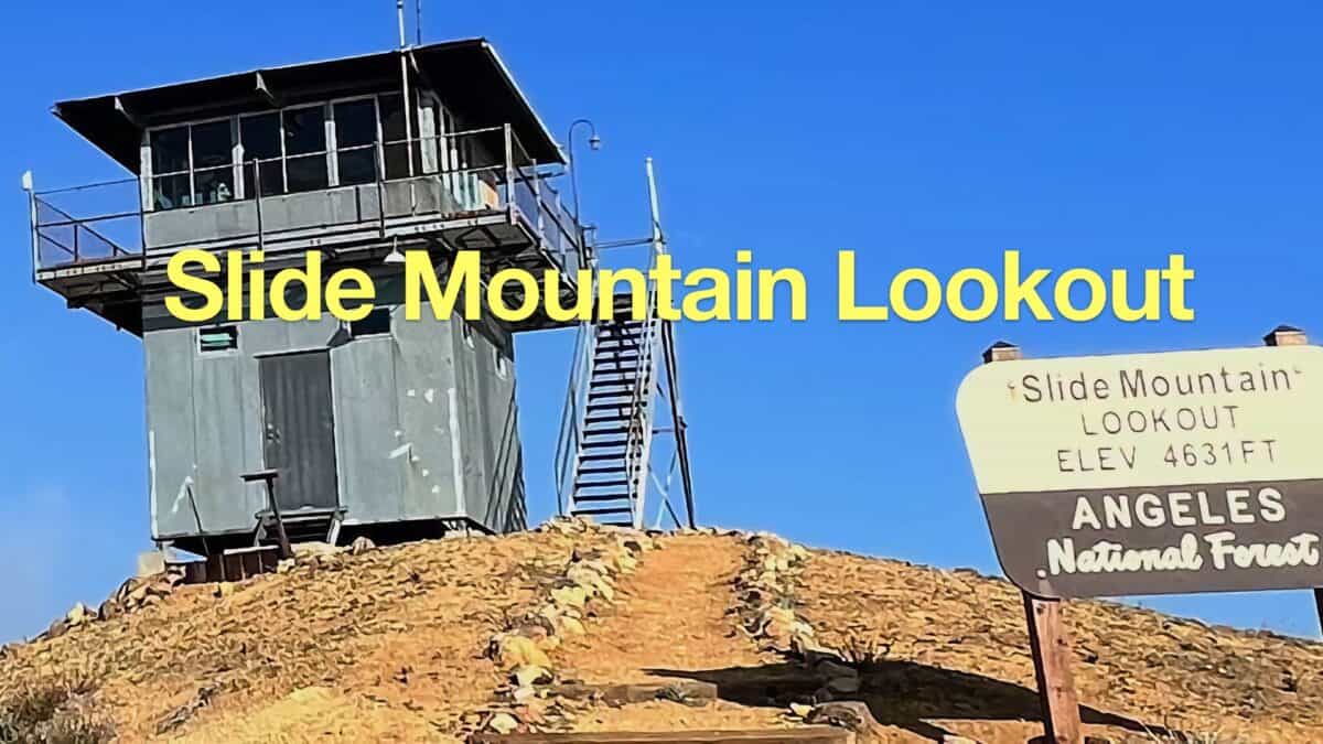 Slide Mountain Lookout Hike
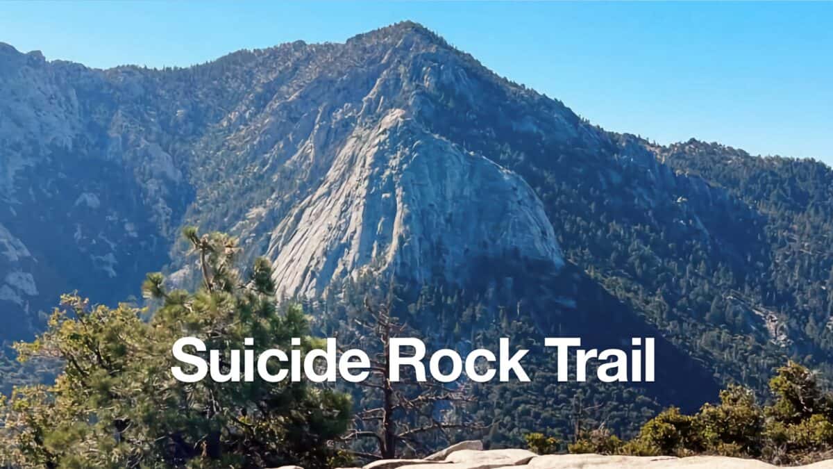 Hike the Suicide Rock Trail (Idyllwild)
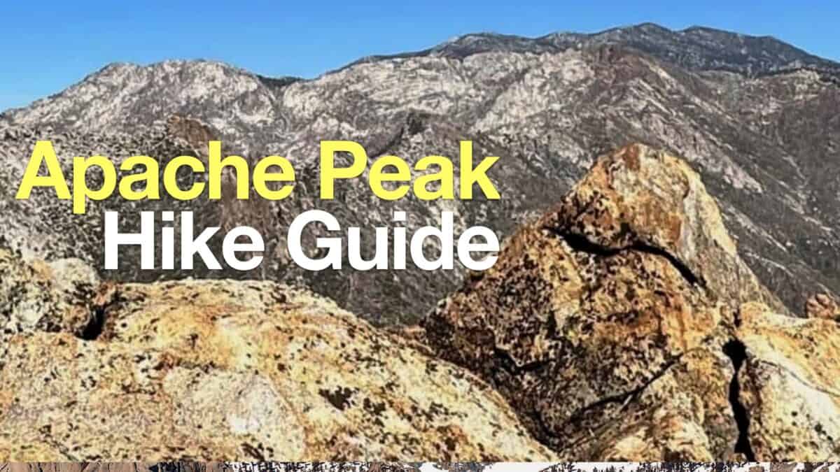 Hike Apache Peak (CA) on the Spilter Peak Trail
 Los Angeles Hikes
 Palm Springs Hiking Trails
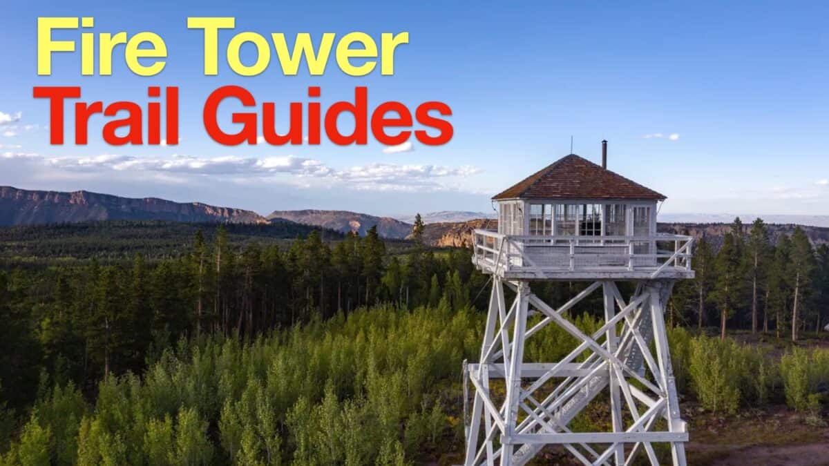 Fire Tower Hikes
 Hikes In and Around Riverside County
 LA Mountain Hikes
 San Bernardino National Forest Hiking Trails
 Sierra Club 100 Peaks
Popular Guides
 Best Hiking Gear 2024
 Hiking Boots or Shoes: Do I Really Need Hiking Boots?
 When to Hit SOS on inReach
This Guide Was Written by Cris Hazzard

Hi, I'm Cris Hazzard, aka Hiking Guy, a professional outdoors guide, hiking expert, and author based in Southern California. I created this website to share all the great hikes I do with everyone else out there. This site is different because it gives detailed directions that even the beginning hiker can follow. I also share what hiking gear works and doesn't so you don't waste money. I don't do sponsored or promoted content; I share only the gear recommendations, hikes, and tips that I would with my family and friends. If you like the website and YouTube channel, please support these free guides (I couldn't do it without folks like you!). You can stay up to date with my new guides by following me on YouTube, Instagram, or by subscribing to my monthly newsletter.