
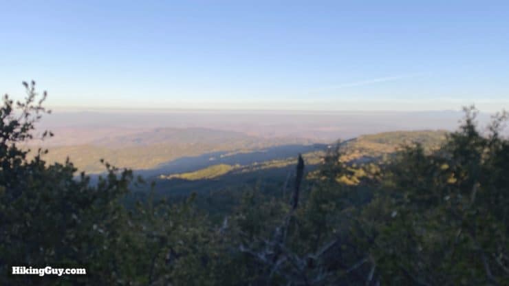
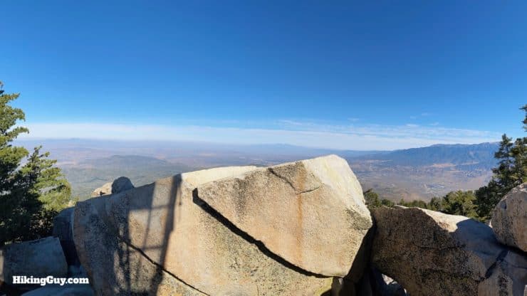
Located just outside of Idyllwild, CA in San Bernardino National Forest, the Black Mountain Trail hike to the fire lookout is a hidden gem. Often overshadowed by hikes like Tahquitz, it offers a healthy mountain climb, great panoramic views, a fire lookout, AND a secret grove of Giant Sequoia trees. You heard that correctly.
- Video & Turn by Turn Black Mountain Trail Directions
- How to Get to the Black Mountain Trail
- Everything You Need to Know To Prepare for the Hike
Located just outside of Idyllwild, CA in San Bernardino National Forest, the Black Mountain Trail hike to the fire lookout is a hidden gem. Often overshadowed by hikes like Tahquitz, it offers a healthy mountain climb, great panoramic views, a fire lookout, AND a secret grove of Giant Sequoia trees. You heard that correctly.
Getting to the Trailhead
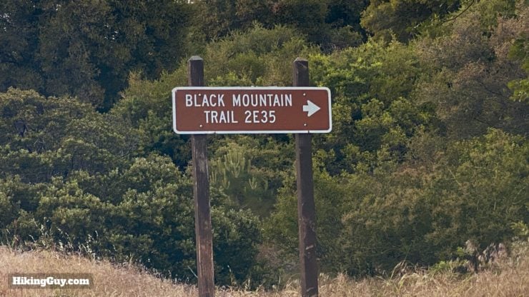
First off, there are about 50 million "Black Mountain Trails" out there, so make sure you are using the one designated as 2E35 in San Bernardino National Forest before the GPS routes you to South Dakota. Use this trailhead address:
Black Mountain Trail 2E35, 4S57, 2E35, Banning, CA 92220
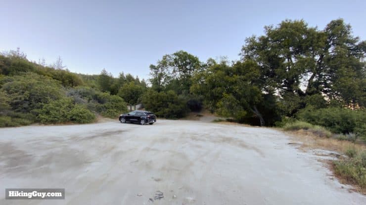
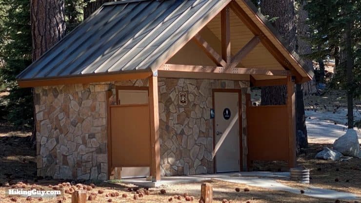
There are no bathrooms or water at the trailhead.
Gear For the Hike
The trail is a legit mountain climb, so you should use proper hiking gear on this hike. Trekking poles help you going up and down the steep slopes. Like most of the high mountains of Southern California, in the summer it can get very hot, and in the winter the trail can be covered with snow. Check the conditions before you go.
Gear That I Love Right Now
Nothing is sponsored or promoted, just the actual gear that I use.


Check out the complete list here. ( Updated July 2024)
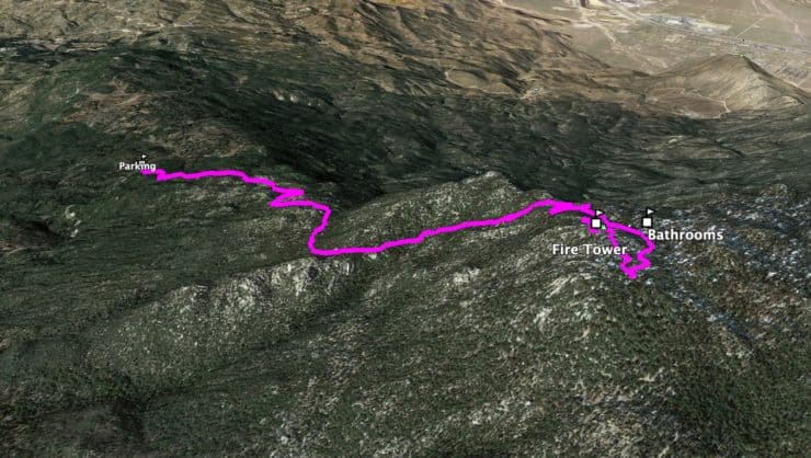
Black Mountain Trail Maps
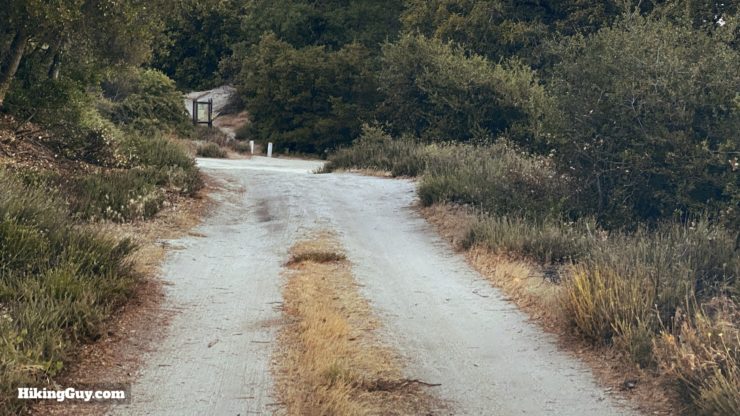
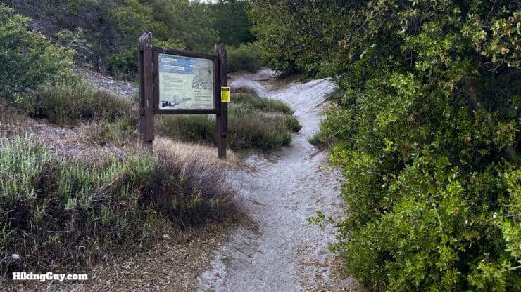
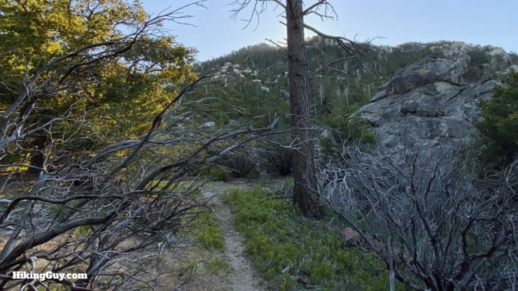
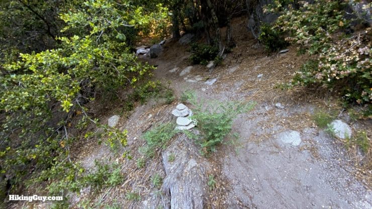
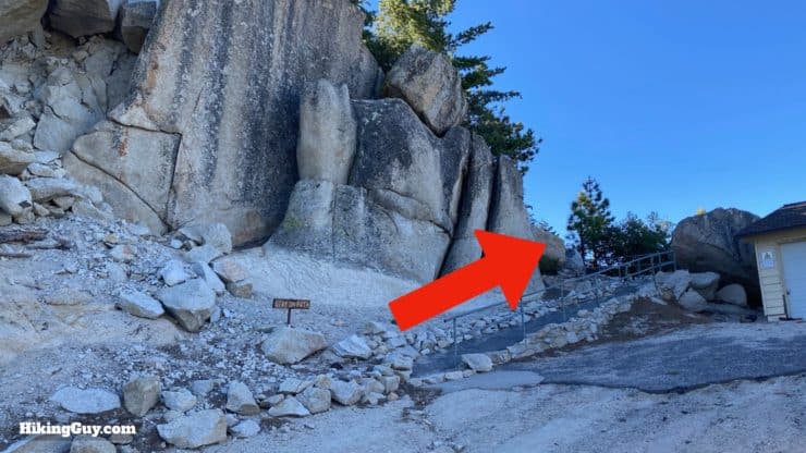
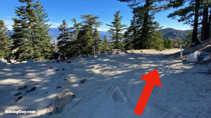
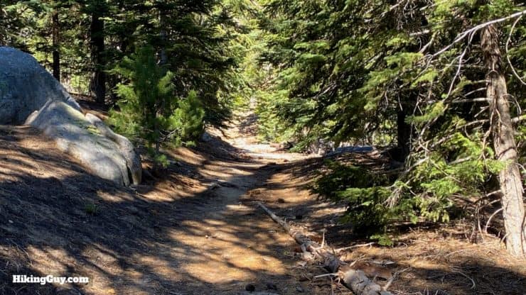
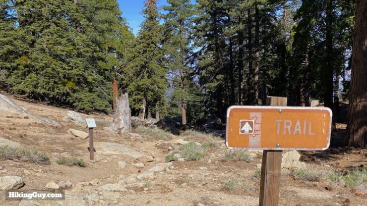
Overall the trail is easy to follow, except for the last small stretch before the summit. The trail can get mildly overgrown in places during the spring.
How Will You Navigate?
 Using the Apple Watch for Hiking
 Garmin Fenix 7 & Epix Review For Hikers
 How To Read a Topographic Map
 Garmin GPSMAP 67i Review
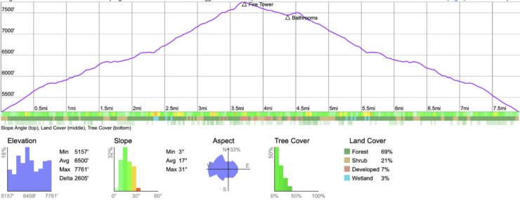
Elevation Profile
3d Map
Hike Brief
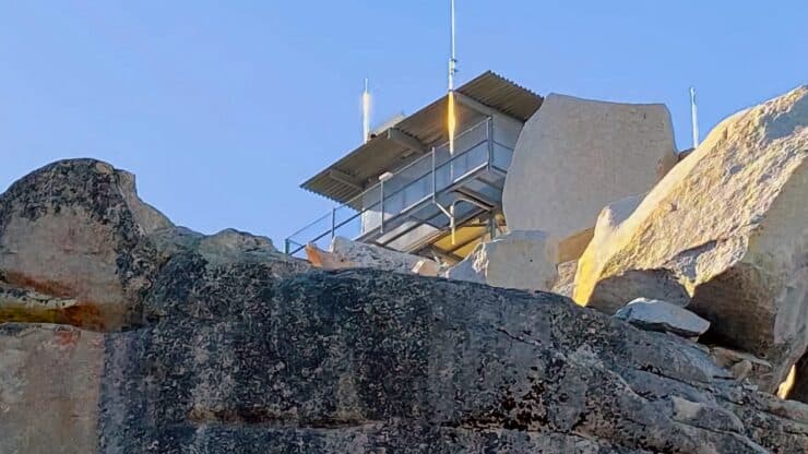
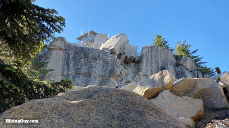
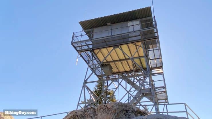
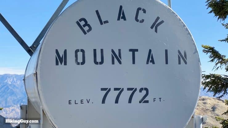
- A fire tower has been on Black Mountain (7,772 feet) since 1926, but the one you see now was built in 1962. It's staffed by volunteers and you can usually go up and have a look around, but please be polite and respectful.
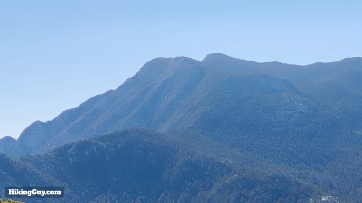
- There are 50 "Black Mountains" in the geographic registry for California. The official name of this peak is "Black Mountain #1" since it's the tallest of the 8 "Black Mountains" in southern California.
- There are some good bouldering spots along the Black Mountain Trail. Look for hikers with big mats on their back. They are going bouldering.
- The trailhead is close to the fire station, which is home to the Vista Grande Hotshots, and you can sometimes see them training on this trail. They hike up and down carrying their fire gear. Those guys are tough.
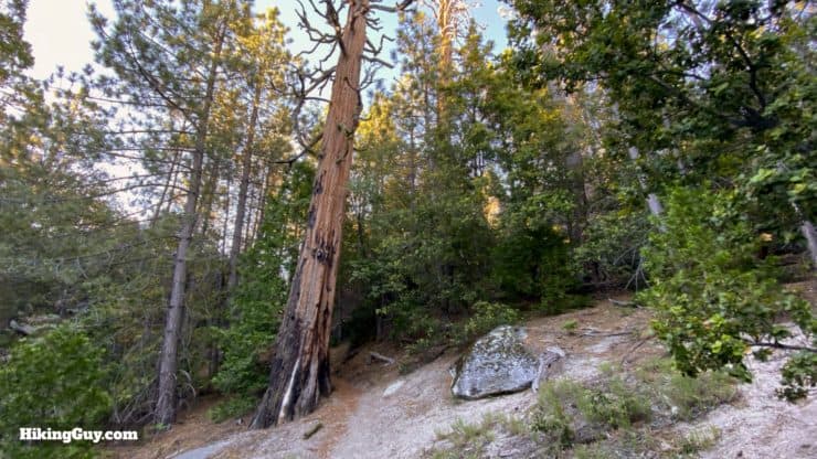
- Okay, let's talk about the giant sequoias. In 1974 in nearby Hall Canyon, there was a fire, and afterwards the Forest Service planted about 150 giant sequoias there. Today they are growing, scattered around the Black Mountain Trail. Don't expect to see huge trees like Grizzly Giant, but if you know what to look for, you can spot some. If you want a full rundown of all the tree positions and their (re)discovery, read this study by Mena and Rudold Schmid.
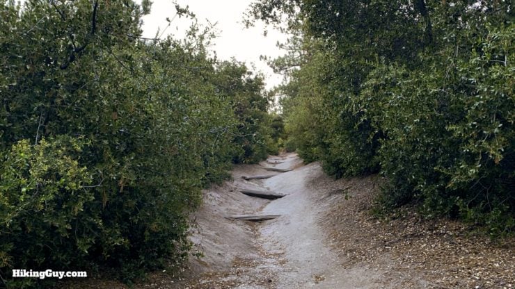
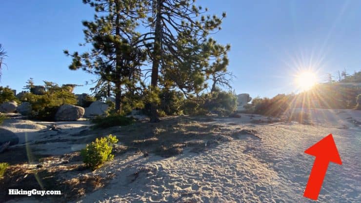
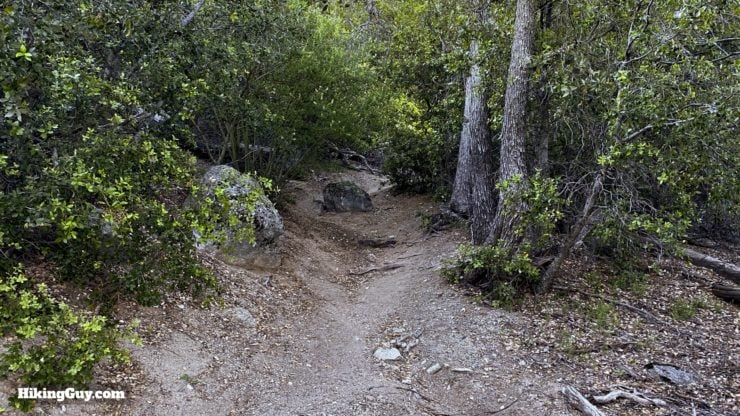
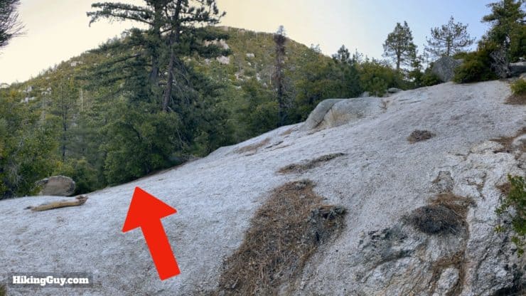
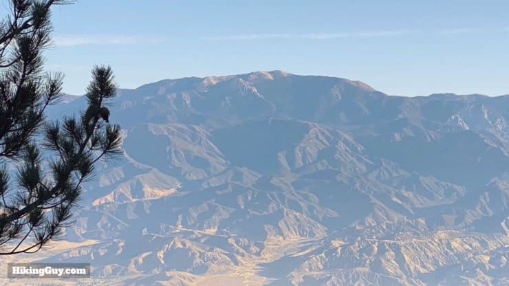
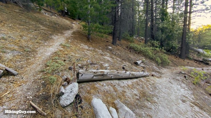
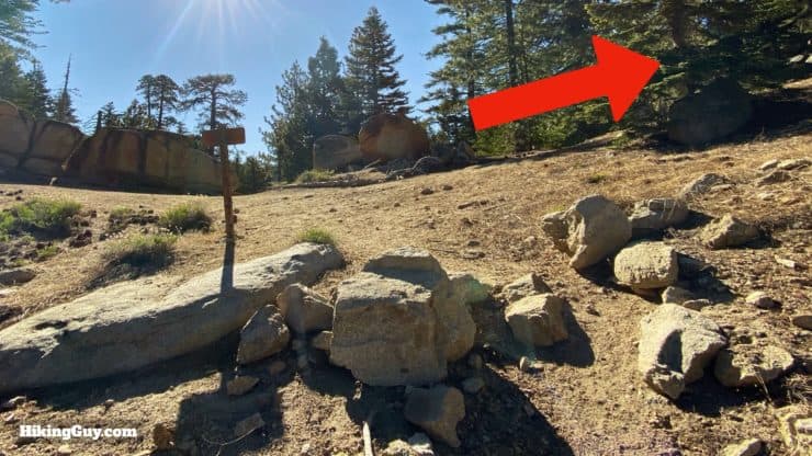
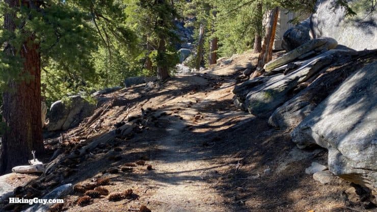
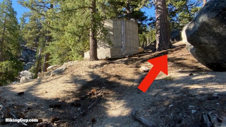
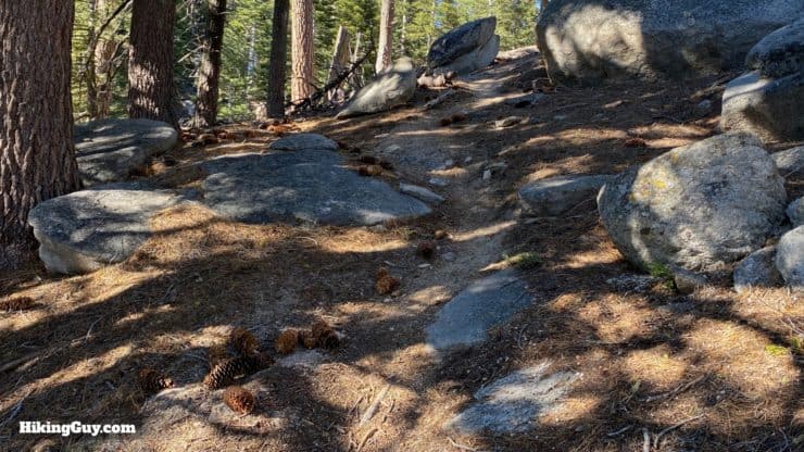
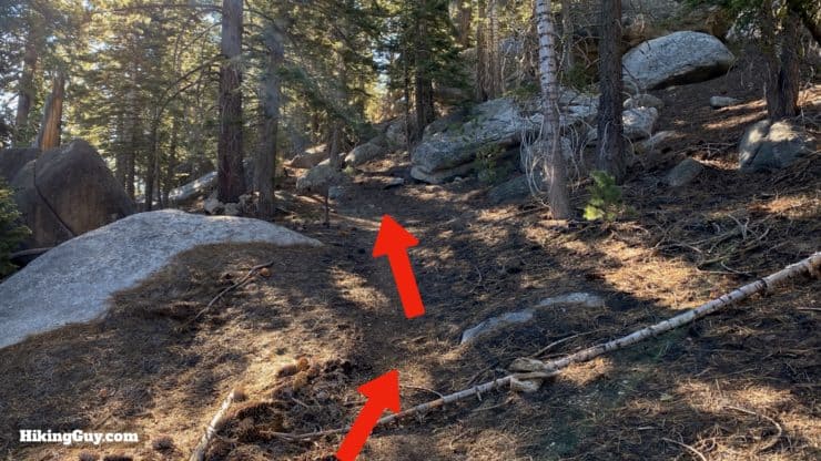
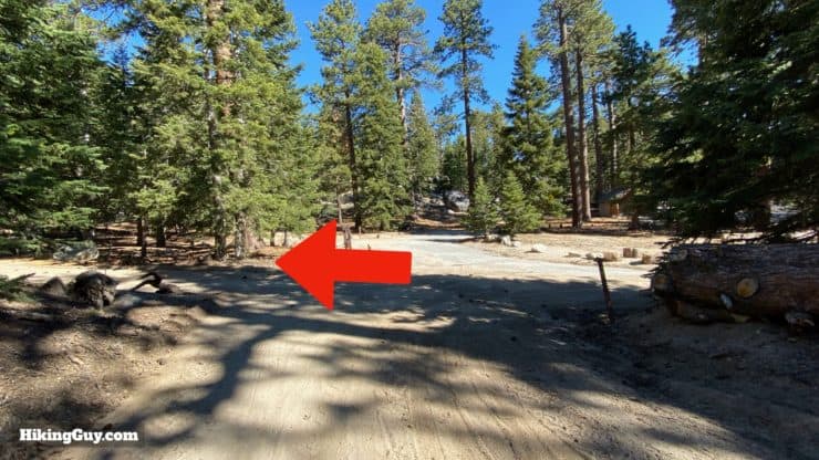
Black Mountain Trail to the Fire Lookout Hike Directions
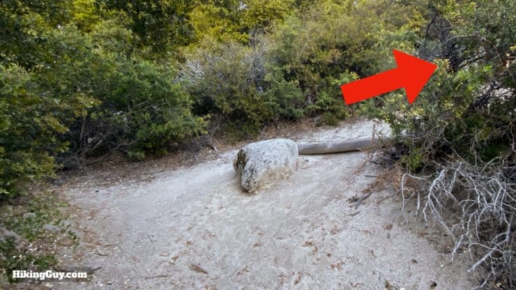
On some maps you'll see the Cinco Poses Trail coming in from the right. Don't look for it. Whatever was there is long overgrown.
You can also just skip the campground and head back the way you came up.
Need More Info?
- Have a question about the guide? Join my Patreon and ask me a question.
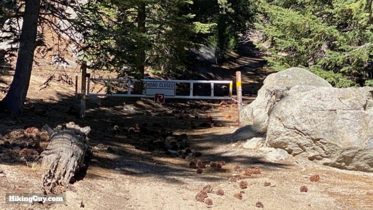
- When planning, always check the park website and social media to make sure the trails are open. Similarly, check the weather and road conditions.
- Do you have an update to this guide? View the Youtube comments for this video. Leave a comment and I will do my best to update the guide.
Related Guides
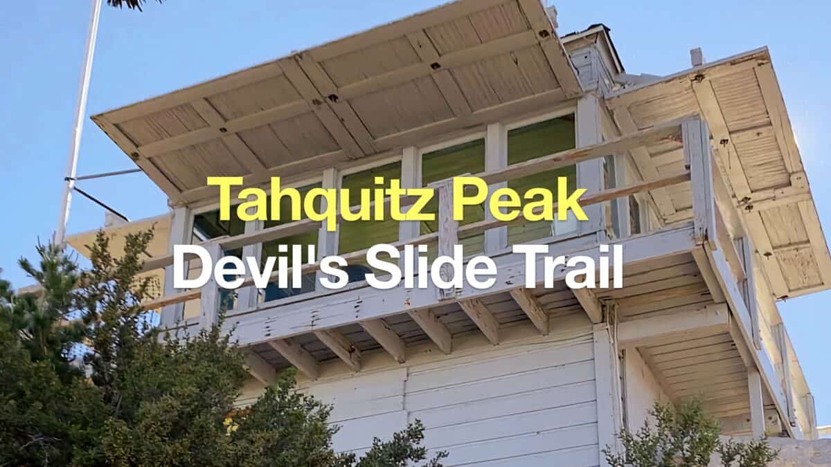 Tahquitz Peak via Devil's Slide Trail Hike
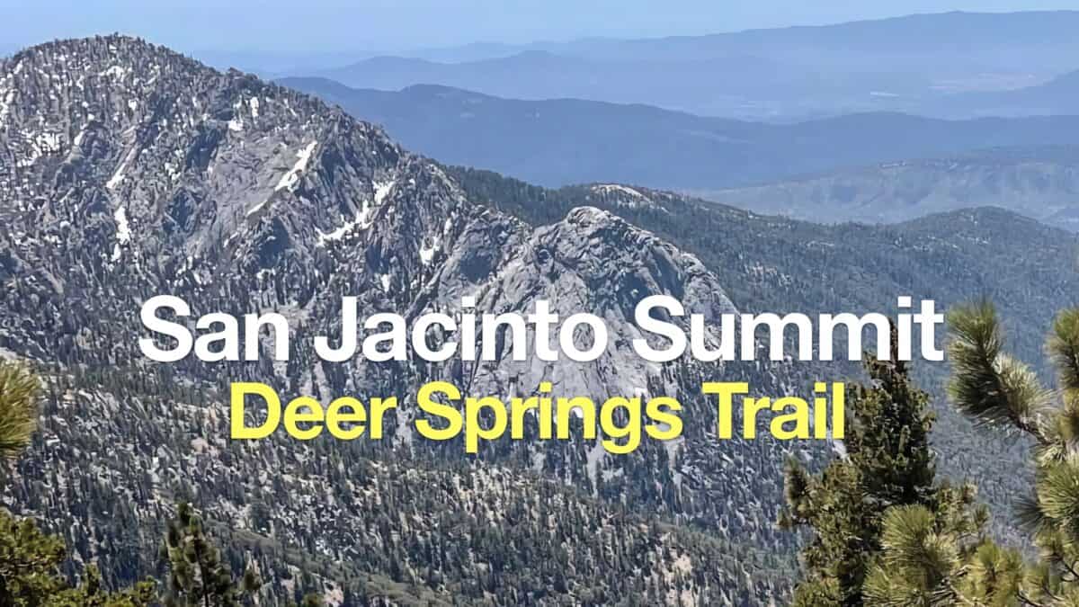 Hike Mt San Jacinto Peak on the Deer Springs Trail
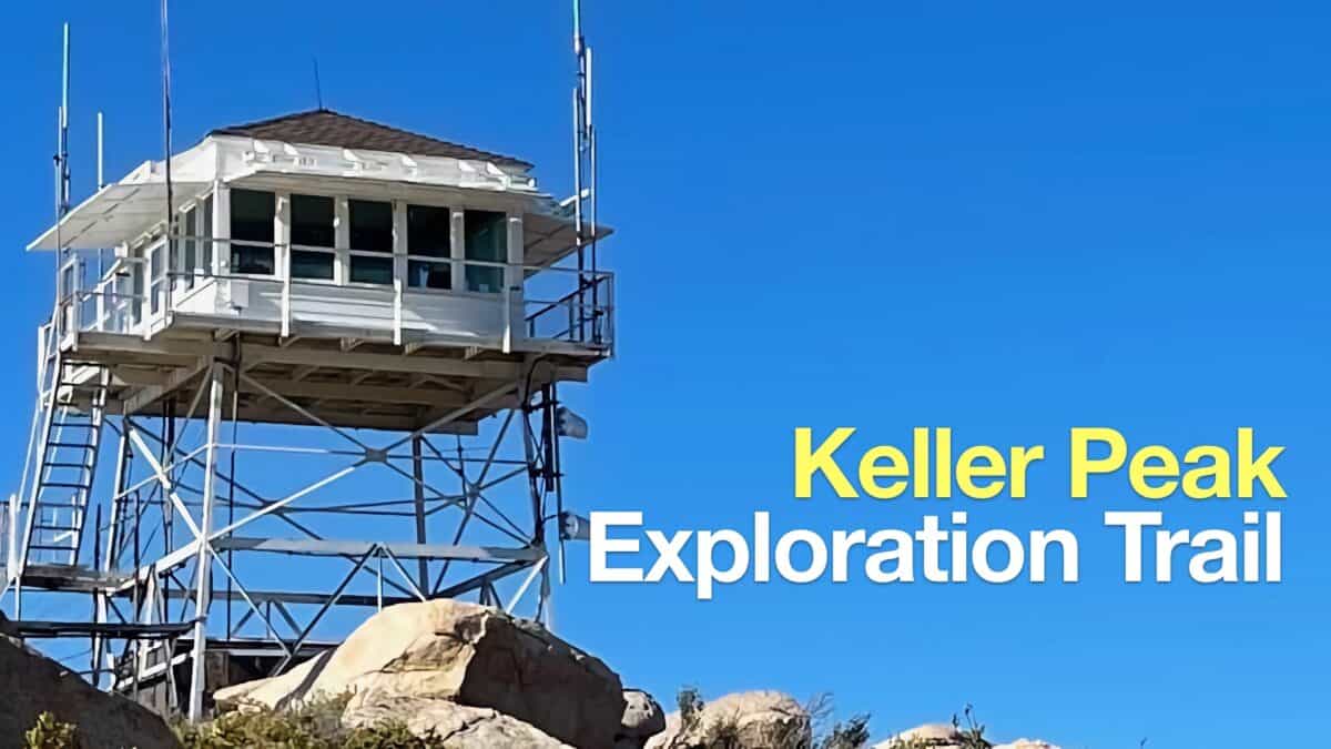 Hike Keller Peak on the Exploration Trail
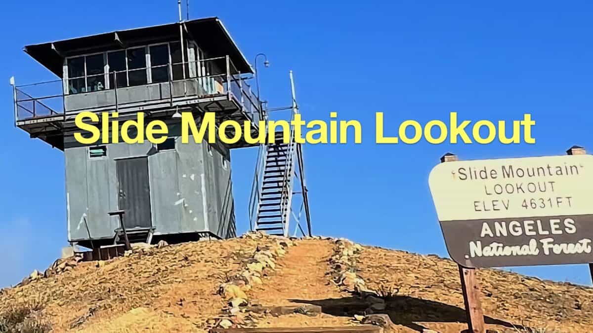 Slide Mountain Lookout Hike
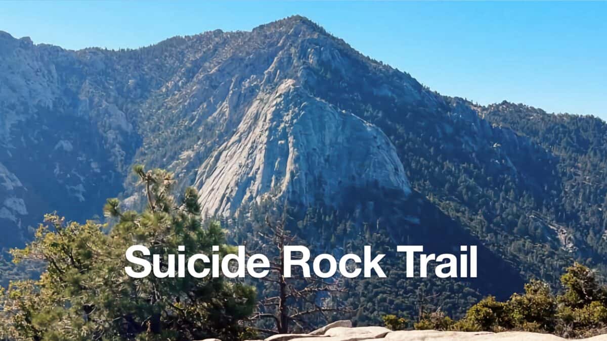 Hike the Suicide Rock Trail (Idyllwild)
 Hike Apache Peak (CA) on the Spilter Peak Trail
 Los Angeles Hikes
 Palm Springs Hiking Trails
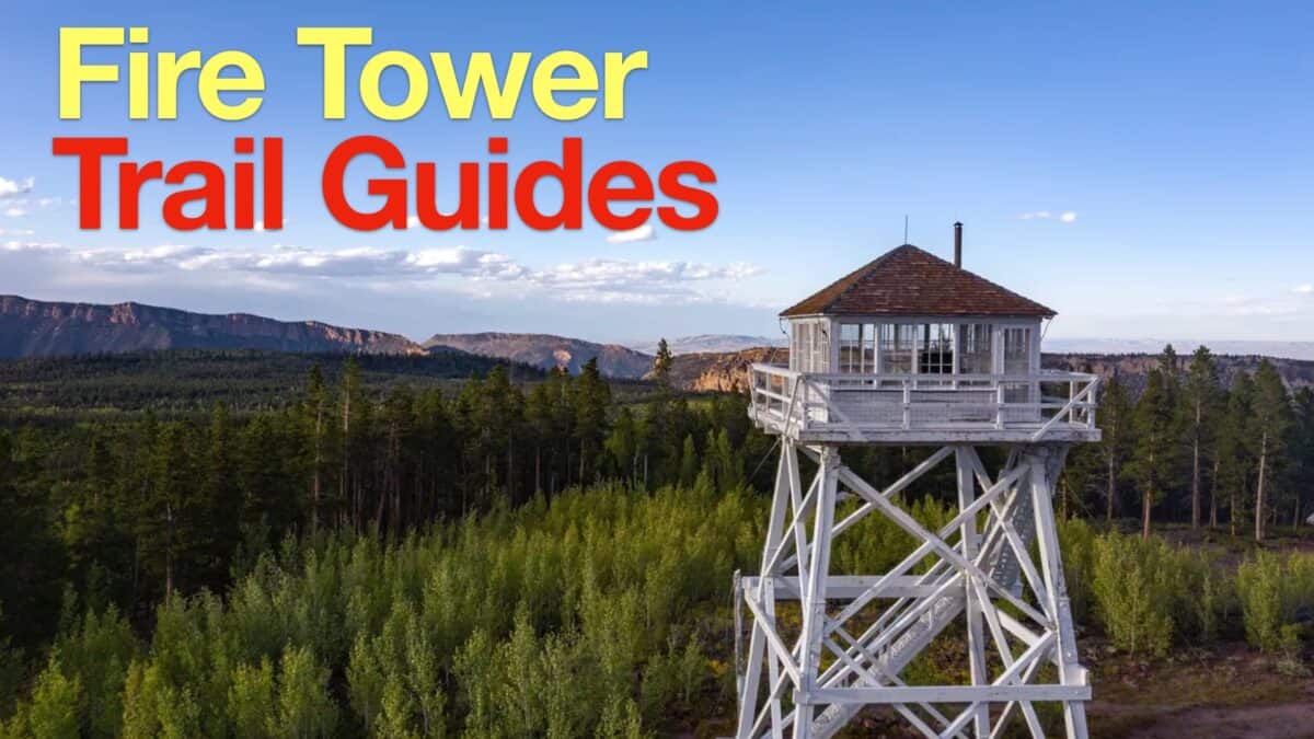 Fire Tower Hikes
 Hikes In and Around Riverside County
 San Bernardino National Forest Hiking Trails
 Sierra Club 100 Peaks
Popular Guides
 Best Hiking Gear 2024
 Hiking Boots or Shoes: Do I Really Need Hiking Boots?
 When to Hit SOS on inReach
This Guide Was Written by Cris Hazzard

Hi, I'm Cris Hazzard, aka Hiking Guy, a professional outdoors guide, hiking expert, and author based in Southern California. I created this website to share all the great hikes I do with everyone else out there. This site is different because it gives detailed directions that even the beginning hiker can follow. I also share what hiking gear works and doesn't so you don't waste money. I don't do sponsored or promoted content; I share only the gear recommendations, hikes, and tips that I would with my family and friends. If you like the website and YouTube channel, please support these free guides (I couldn't do it without folks like you!). You can stay up to date with my new guides by following me on YouTube, Instagram, or by subscribing to my monthly newsletter.