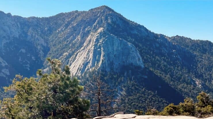

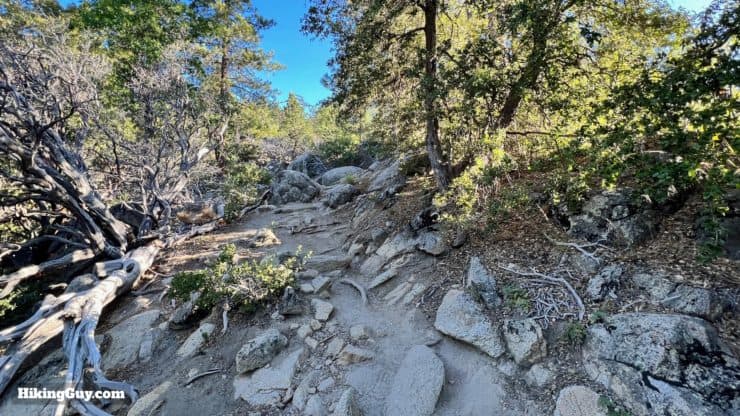
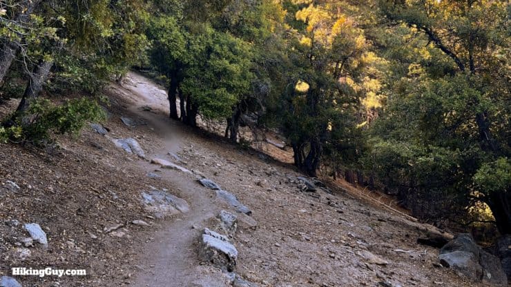
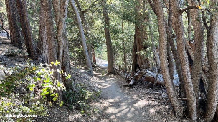
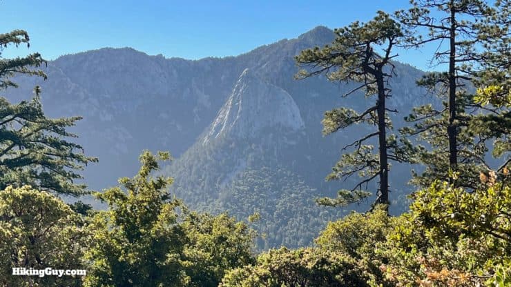
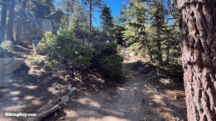
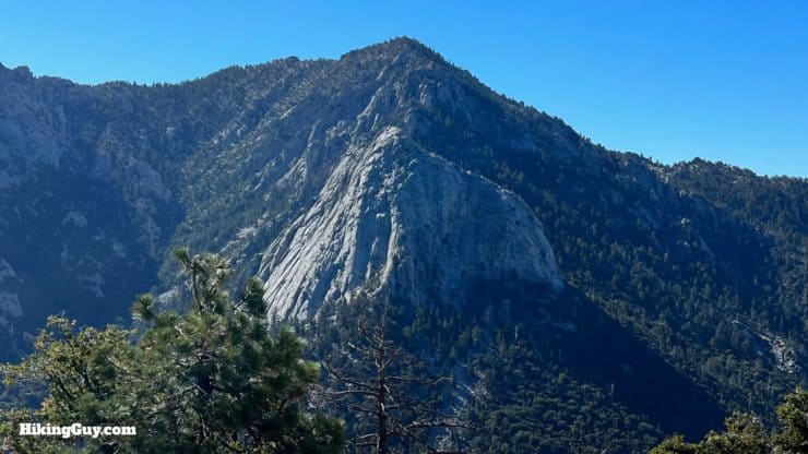
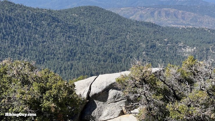
Hiking the Suicide Rock Trail gives you the big mountain feel without climbing the big mountains. You'll have to hike uphill on the Deer Springs Trail, through the oaks that give way to pines as you get higher. The payoff is a massive slab of granite with views of the mountains surrounding you. Although you are in San Bernardino National Forest, it feels like you could be at Yosemite.
- Video and Turn-by-Turn Directions for the Suicide Rock Trail
- Getting the Free Suicide Rock Trail Permit
- Recommendations for the Hike
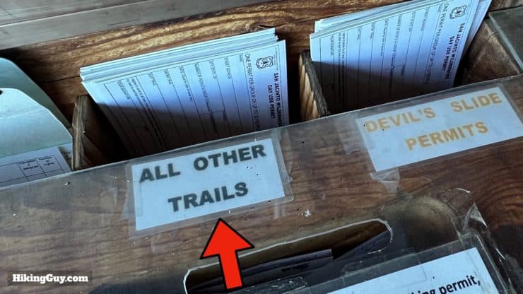
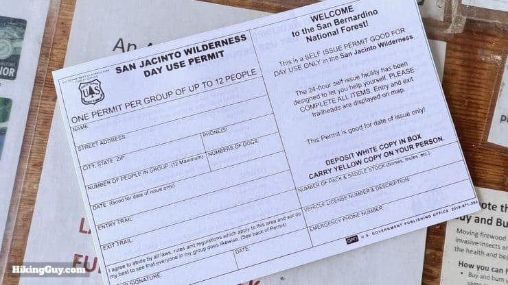
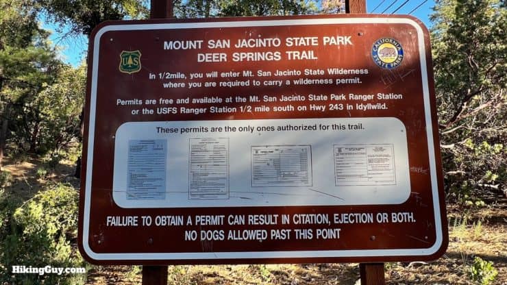
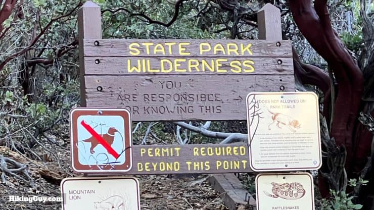
Permits for the Suicide Rock Trail
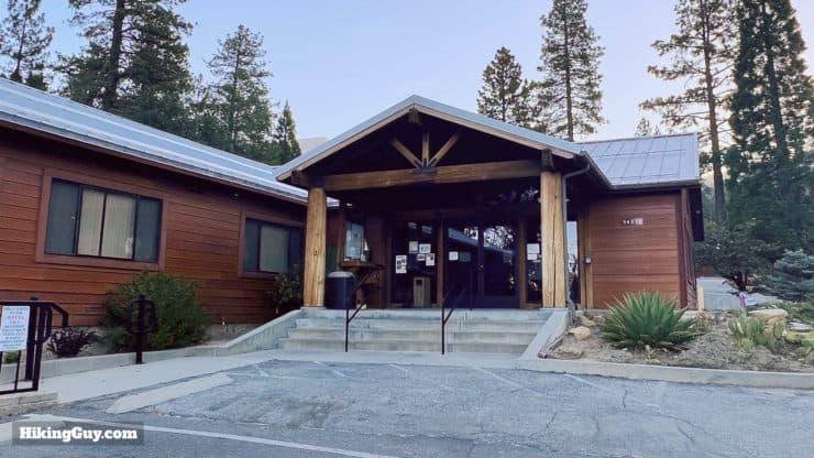
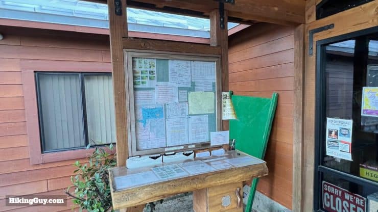
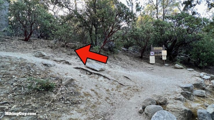
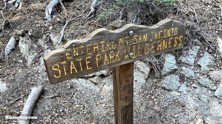
You need a free permit to hike to Suicide Rock. The first stop you should make is the San Jacinto Ranger Station in the town of Idyllwild, less than a mile from the Deer Springs Trailhead. Use this address:
San Jacinto Ranger Station, 54270 Pine Crest Ave, Idyllwild-Pine Cove, CA 92549
Where is the Suicide Rock Trail?
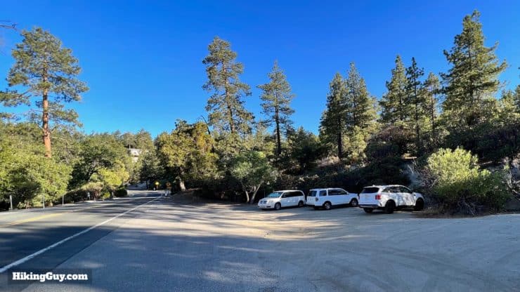
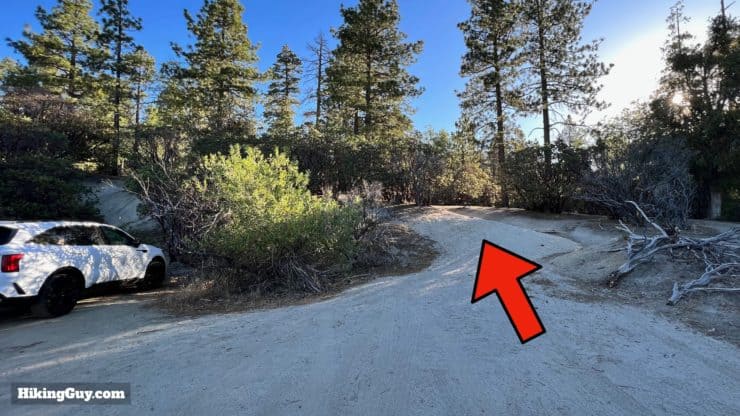
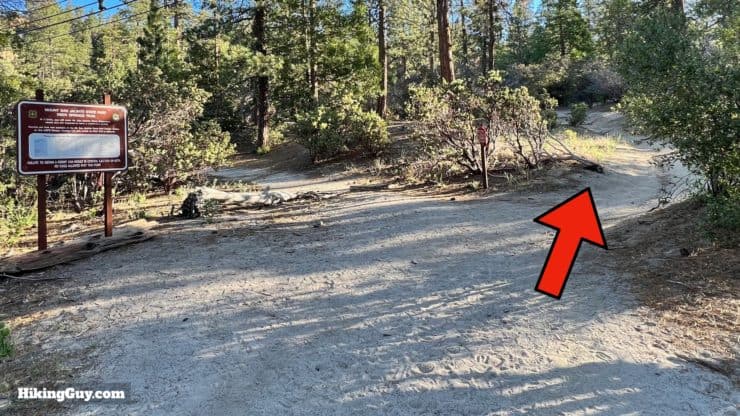
After you have the permit, make your way 0.8 miles to the Deer Springs Trailhead here:
Deer Spring Trail, Idyllwild-Pine Cove, CA 92549
Gear For the Hike
This is an "all-seasons" hike. In the summer it can be hot, and in the winter the trail can be covered with snow and ice. If you are hiking in a season when there's snow, check the excellent San Jacinto Trail Report website for current conditions. If the trail is snowy or icy and you don't have experience in those conditions, give the hike a try another time.
Otherwise you'll want to bring at least 1L of water. The hike is largely shaded but can be warm. Trekking poles are helpful on the slopes if you have them. In the summer there can be bugs; have some insect repellant on hand just in case.
Gear That I Love Right Now
Nothing is sponsored or promoted, just the actual gear that I use.


Check out the complete list here. ( Updated October 2024)
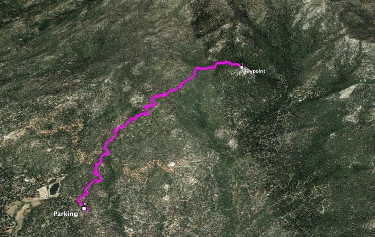
Suicide Rock Trail Maps
How Will You Navigate?
 Using the Apple Watch for Hiking
 Garmin Fenix 7 & Epix Review For Hikers
 How To Read a Topographic Map
 Garmin GPSMAP 67i Review
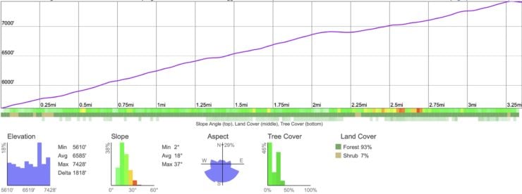
Elevation Profile
3D Map
Why is it Called Suicide Rock?
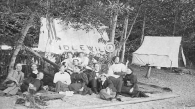
The history of the name is a bit sketchy, but according to the local oral history shared by USFS Rangers, this is roughly how it goes.
- In 1884 Helen Hunt Jackson wrote a best-selling book called Ramona. To sum it up, the book is a love story featuring a romanticized view of Southern California and the struggles of the Native peoples.
- The novel was a huge hit and tourists flocked to visit the sites mentioned in the book. Books like Through Ramona's Country served as guides to the locations in the story, some of which were in the San Jacinto area. If you had a location with a romantic Native American story behind it, you could probably make a buck on tourism.
- Idyllwild locals, looking to capitalize on the fad, dubbed the big granite area "Suicide Rock" because it was allegedly where a Native princess and her lover committed suicide after being ordered to split up. This had nothing to do with the book Ramona and is likely totally made up, but hey, the name was probably dramatic enough to lure in a few tourists.
- The name first appears officially on the 1957 USGS quad map of Palm Springs.
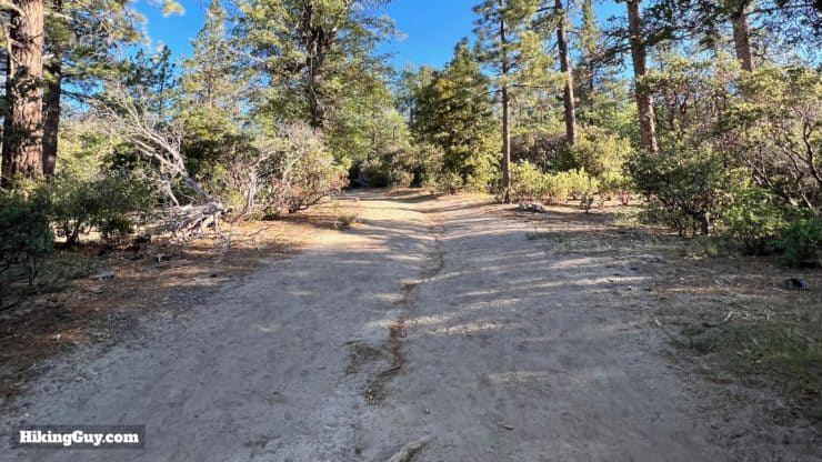
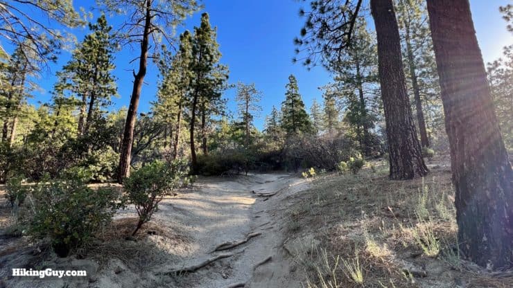
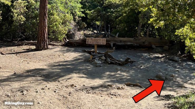
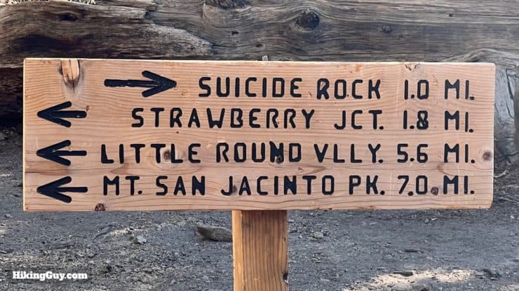
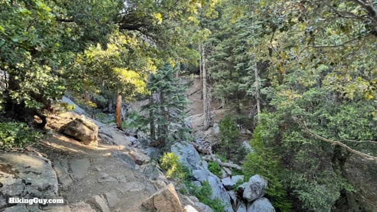
Suicide Rock Hike Directions
In the 1950s the Yosemite Decimal System, the rating system used for rock climbing difficulty, was invented by climbers using Lily Rock.
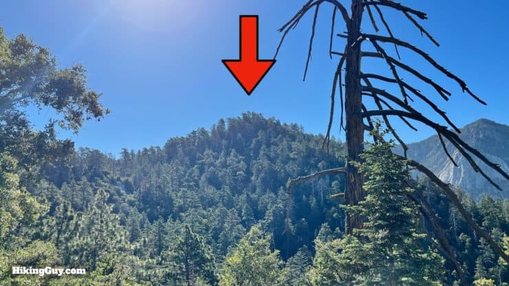
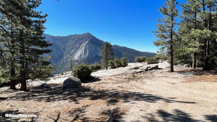
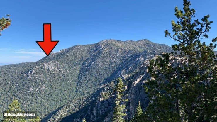
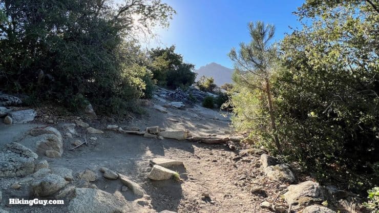
If you want to summit Suicide Rock, just hike up through the trees on the right of the last photo. There's no summit marker. It's just a pile of rocks in the trees. I usually skip it.
Need More Info?
- Have a question about the guide? Join my Patreon and ask me a question.
- When planning, always check the park website and social media to make sure the trails are open. Similarly, check the weather and road conditions.
- Do you have an update to this guide? View the Youtube comments for this video. Leave a comment and I will do my best to update the guide.
Related Guides
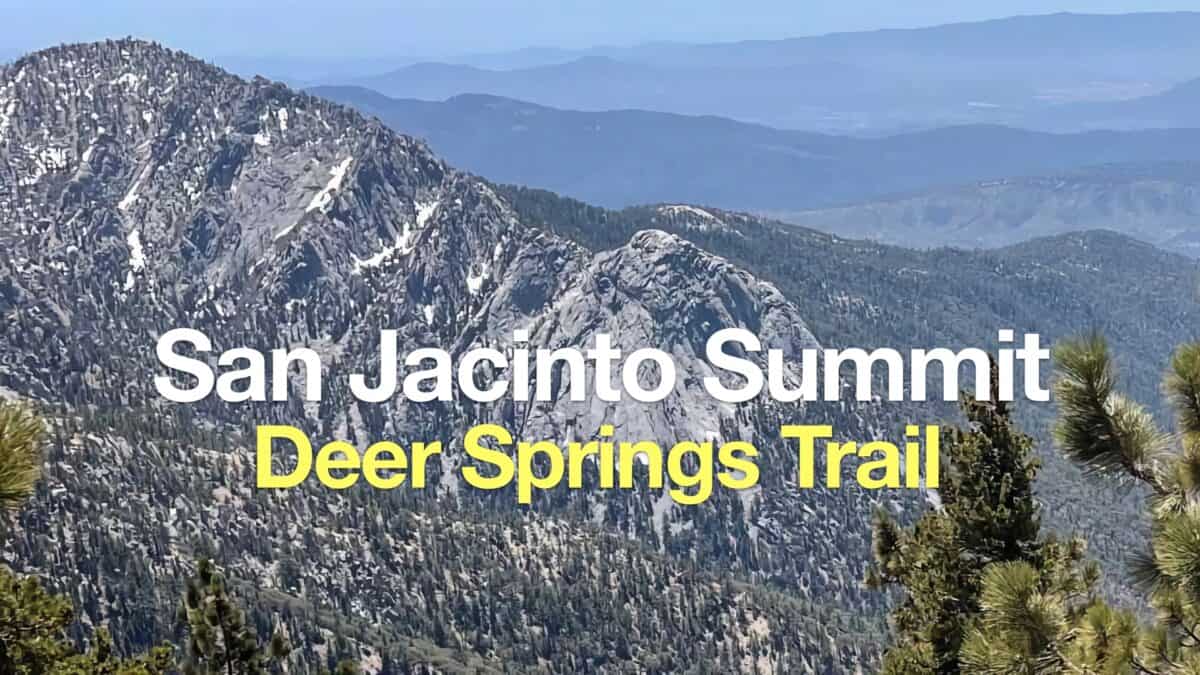 Hike Mt San Jacinto Peak on the Deer Springs Trail
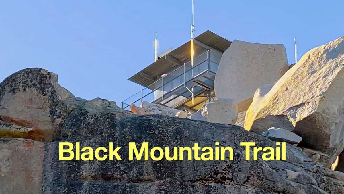 Black Mountain Trail to the Fire Lookout (Idyllwild, CA)
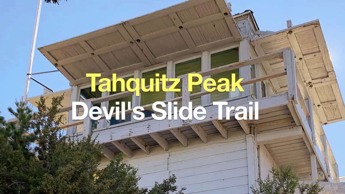 Tahquitz Peak via Devil's Slide Trail Hike
 Los Angeles Hikes
 Palm Springs Hiking Trails
 LA Mountain Hikes
 San Bernardino National Forest Hiking Trails
 Sierra Club 100 Peaks
Popular Guides
 Best Hiking Gear 2024
 Hiking Boots or Shoes: Do I Really Need Hiking Boots?
 When to Hit SOS on inReach
This Guide Was Written by Cris Hazzard

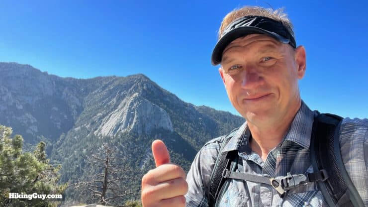
Hi, I'm Cris Hazzard, aka Hiking Guy, a professional outdoors guide, hiking expert, and author based in Southern California. I created this website to share all the great hikes I do with everyone else out there. This site is different because it gives detailed directions that even the beginning hiker can follow. I also share what hiking gear works and doesn't so you don't waste money. I don't do sponsored or promoted content; I share only the gear recommendations, hikes, and tips that I would with my family and friends. If you like the website and YouTube channel, please support these free guides (I couldn't do it without folks like you!). You can stay up to date with my new guides by following me on YouTube, Instagram, or by subscribing to my monthly newsletter.