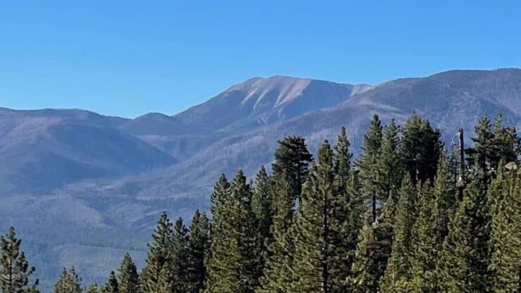

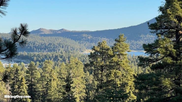
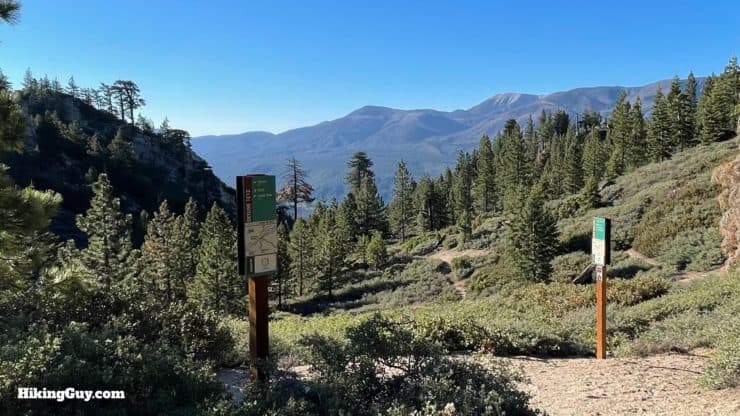
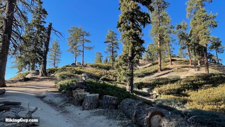
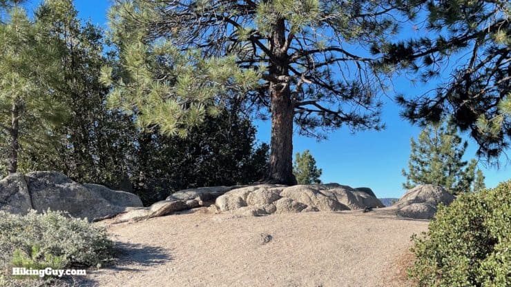
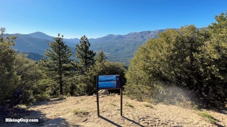
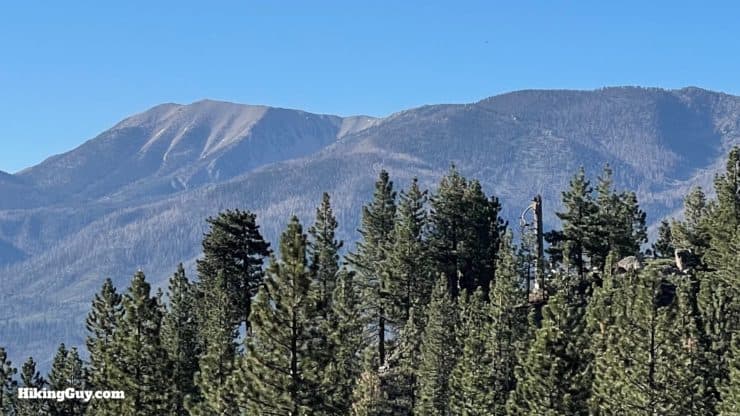
While it isn't a hike to a high mountain summit, taking the serene and scenic Pineknot Trail up to Grand View Point offers you a similar payoff, but without a big effort. The trail climbs gently through the pine forest, with glimpses down to Big Bear Lake, and then ends at Grand View Point, which has sweeping views of the San Bernardino high peaks. Overall it's a pleasant hike that offers something nice for hikers of all ability levels.
- Video and Turn-by-Turn Directions to Grand View Point
- How to Get to the Pineknot Trail
- Grand View Hike Maps
- Insider Tips and Recommendations for the Hike
Where is the Pineknot Trail?
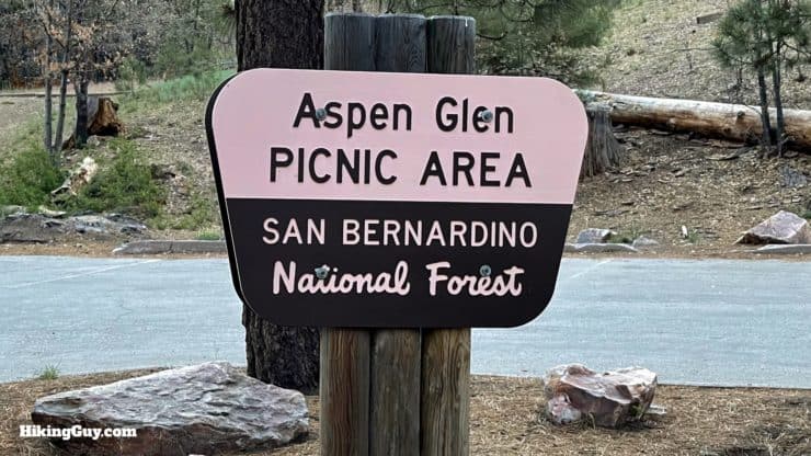
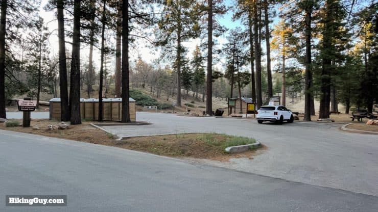
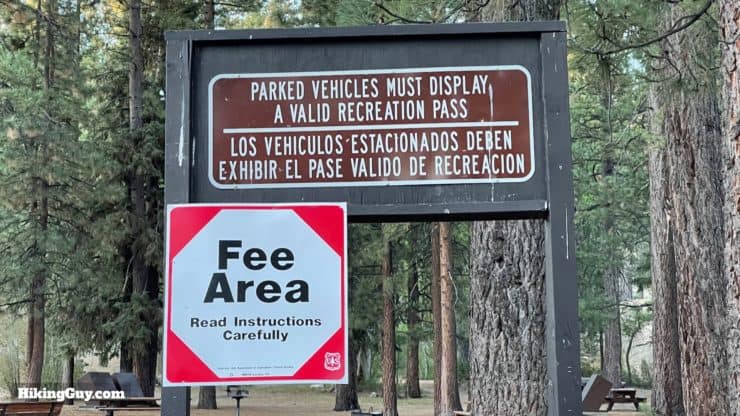
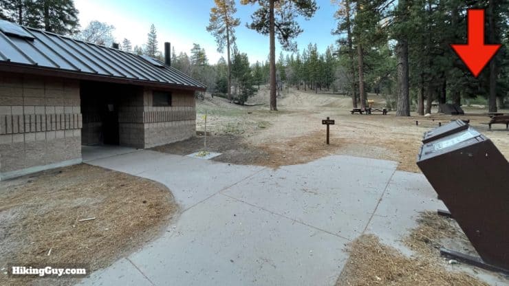
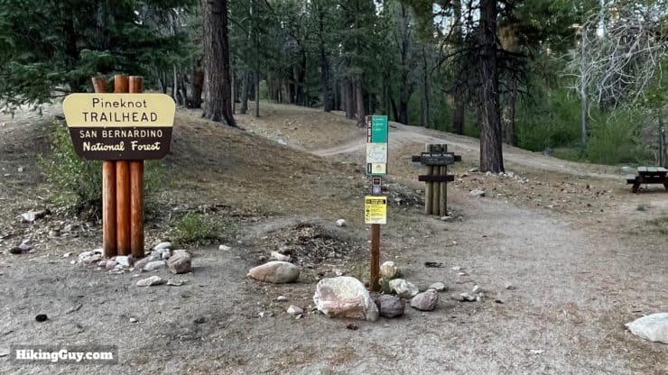
The Pineknot Trail is located in the town of Big Bear Lake, and it starts at the Aspen Glen Picnic Area. Use this trailhead address:
Aspen Glen Picnic Area, 40105 Mill Creek Rd, Big Bear Lake, CA 92315
Gear For the Hike
- Like most of the area, it can get hot in the summer and cold and icy in the winter. There's no real mountain summit, so what you wear at the start is usually fine for what you need at Grand View Point.
- I'd bring at least 1L of water.
- The hike is shady and the sun isn't a problem.
- There are no real steep parts and trekking poles are probably overkill, but if you like hiking with them, they'll work fine here too.
Gear That I Love Right Now
Nothing is sponsored or promoted, just the actual gear that I use.


Check out the complete list here. ( Updated October 2024)
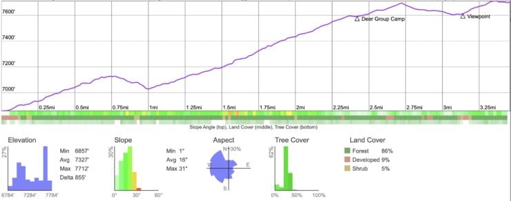
Pineknot Trail Maps
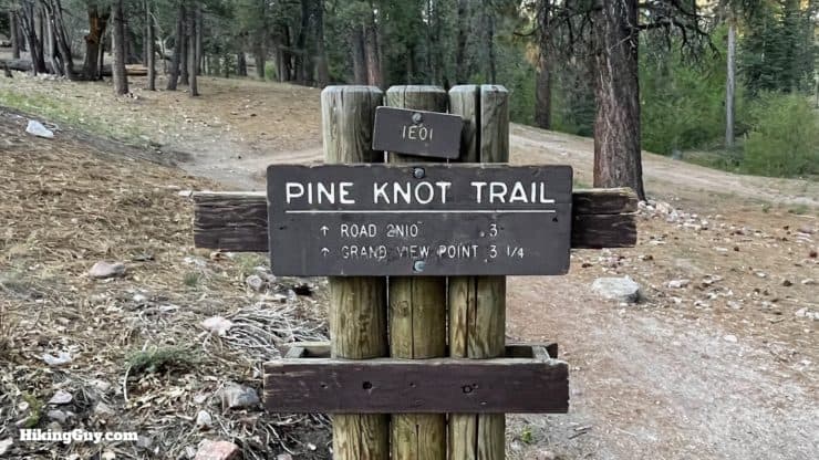
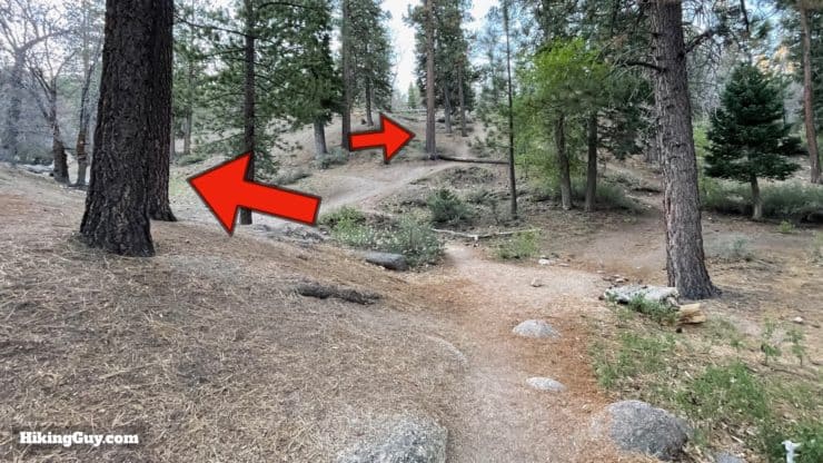
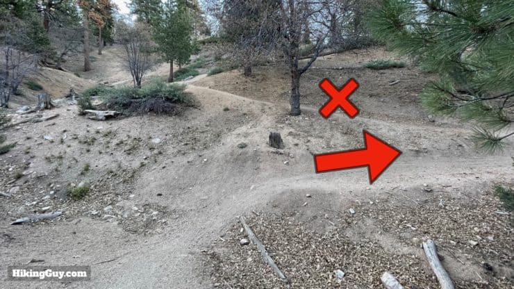
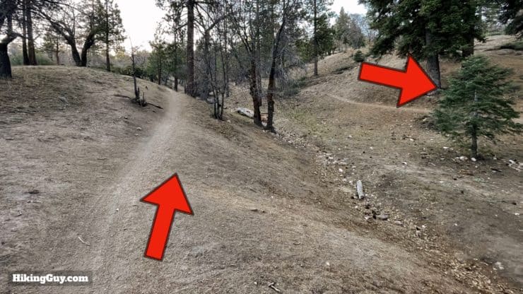
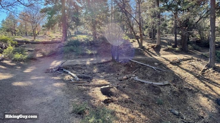
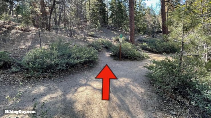
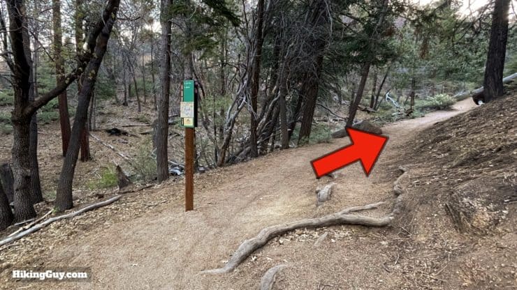
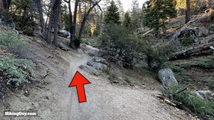
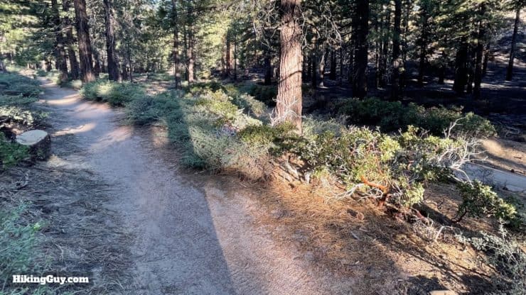
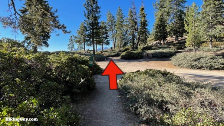
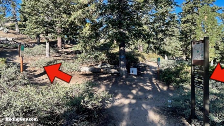
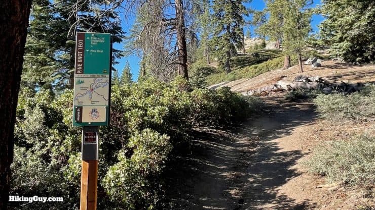
Overall the trail is in great condition, and a local cycling club has even adopted some new trail signs. There are several cutoffs, trail updates, and use trails initially, and I'll tell you how to navigate them below. You'll share the trail with mountain bikers.
How Will You Navigate?
 Using the Apple Watch for Hiking
 Garmin Fenix 7 & Epix Review For Hikers
 How To Read a Topographic Map
 Garmin GPSMAP 67i Review
Elevation Profile
3D Map
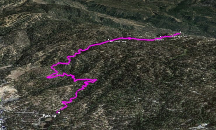
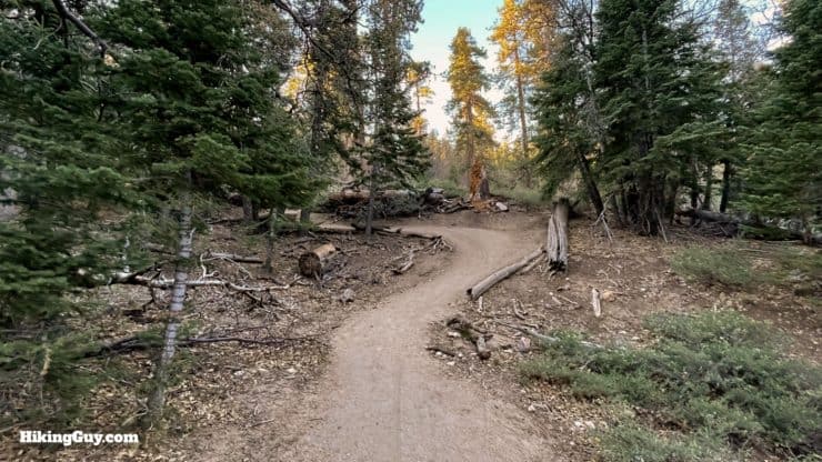
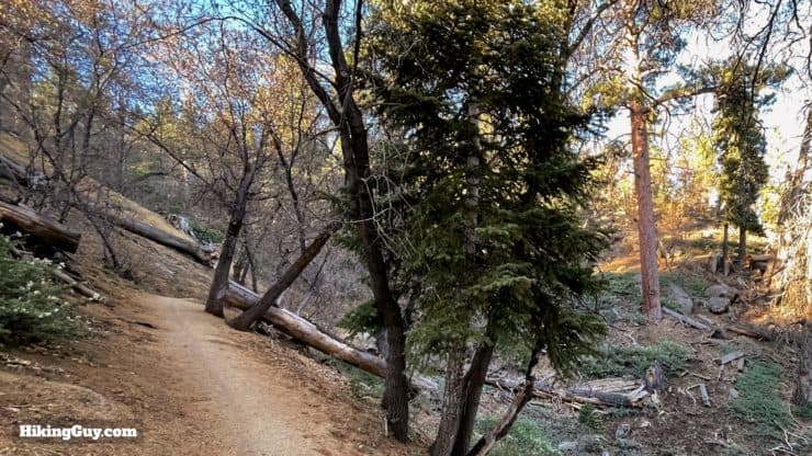
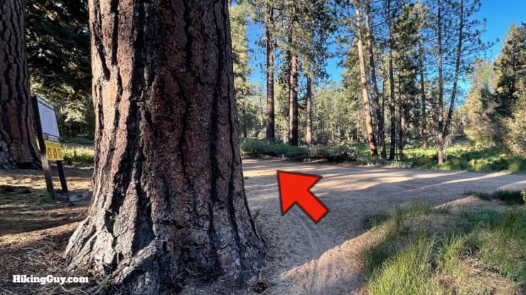
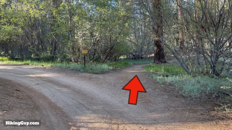
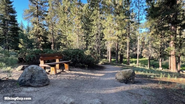
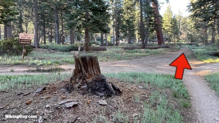
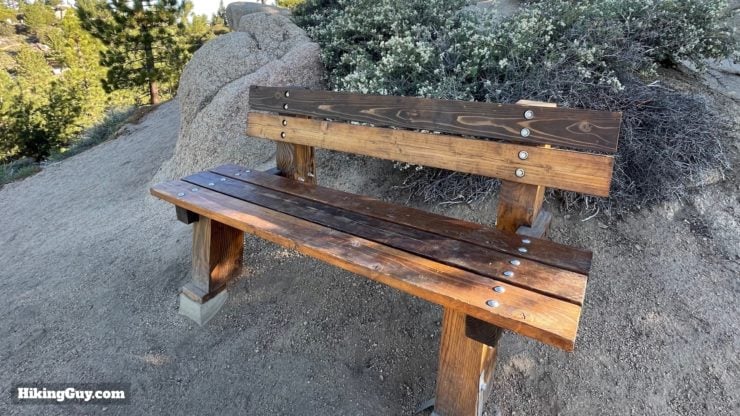
Pineknot to Grand View Hike Directions

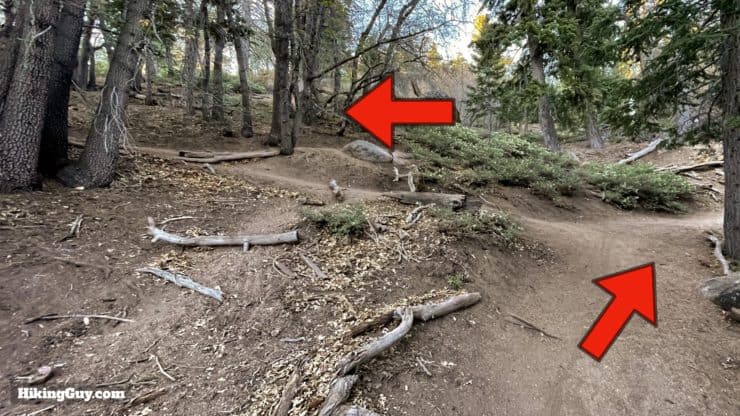

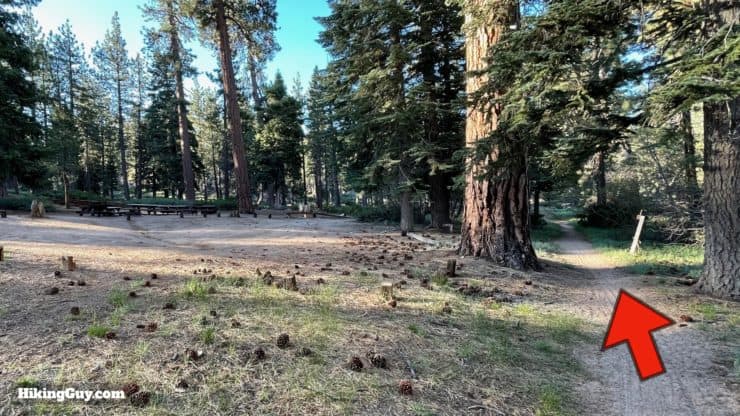
From here, just hike back the way you came up.
Need More Info?
- Have a question about the guide? Join my Patreon and ask me a question.
- When planning, always check the park website and social media to make sure the trails are open. Similarly, check the weather and road conditions.
- Do you have an update to this guide? View the Youtube comments for this video. Leave a comment and I will do my best to update the guide.
Related Guides
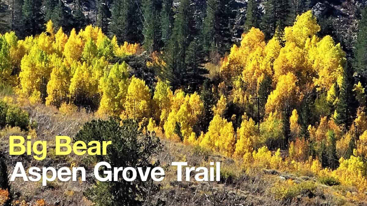 Big Bear Aspen Grove Trail Hike
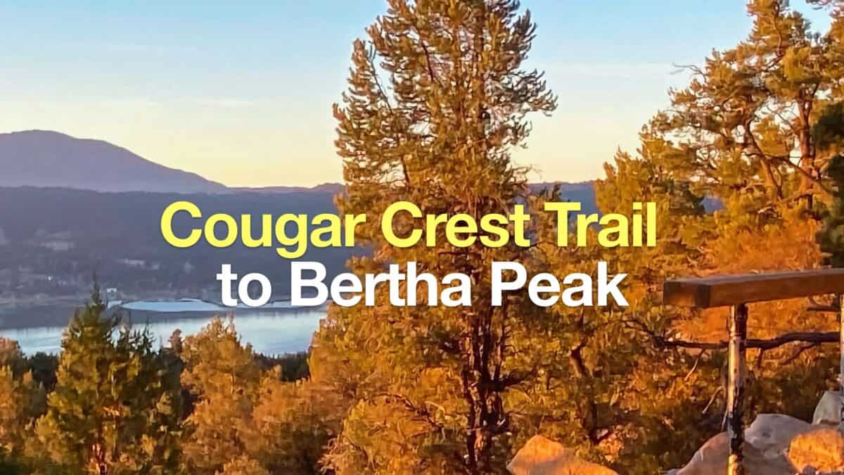 Cougar Crest Trail to Bertha Peak Hike Guide
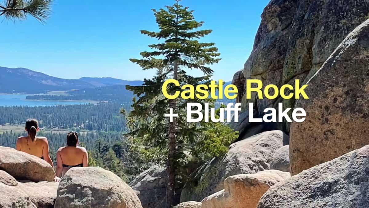 Hike the Castle Rock Trail (Big Bear) + Bluff Lake
 Sugarloaf Mountain Trail Guide - Big Bear
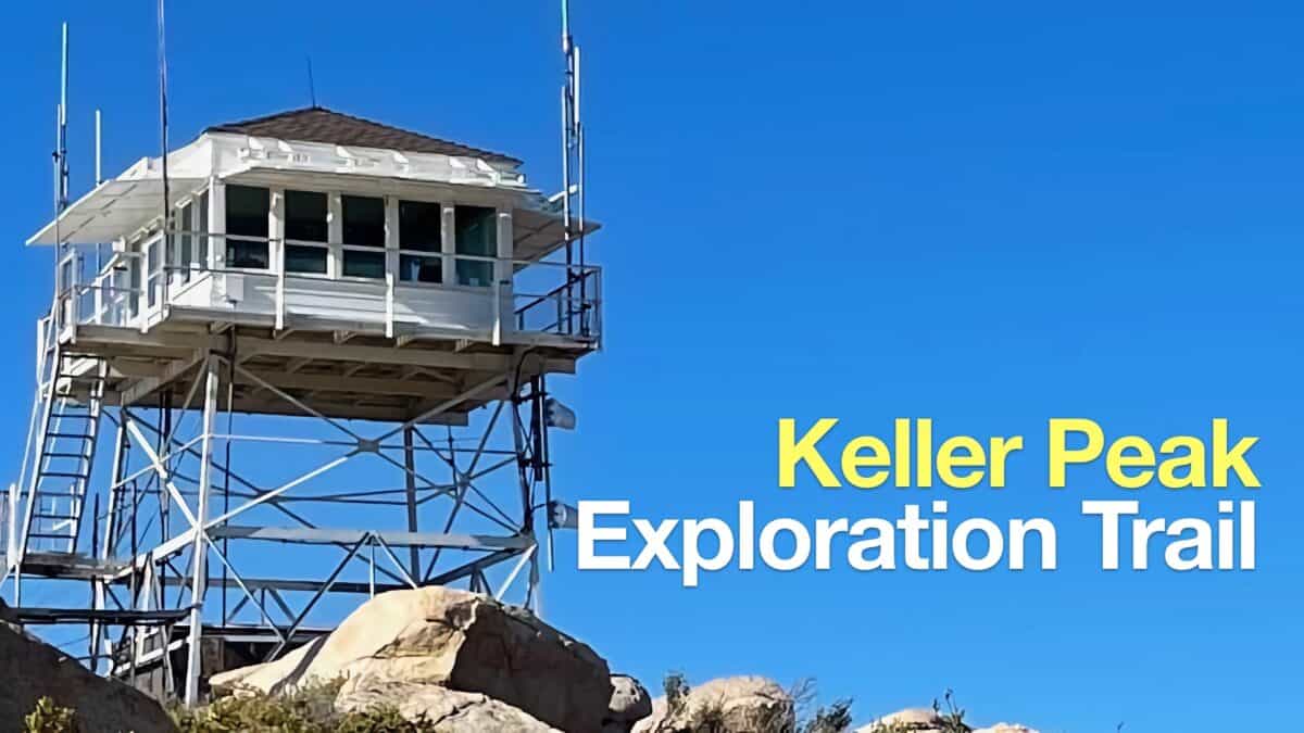 Hike Keller Peak on the Exploration Trail
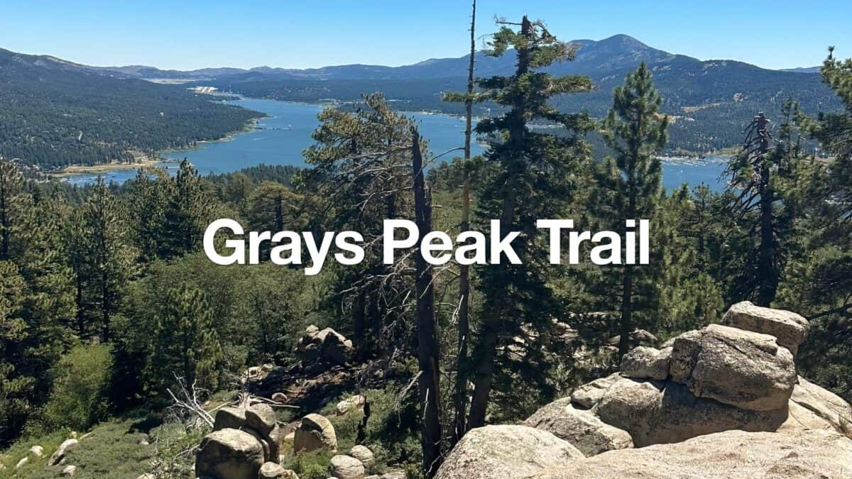 Hike Grays Peak Trail (Big Bear)
 Los Angeles Hikes
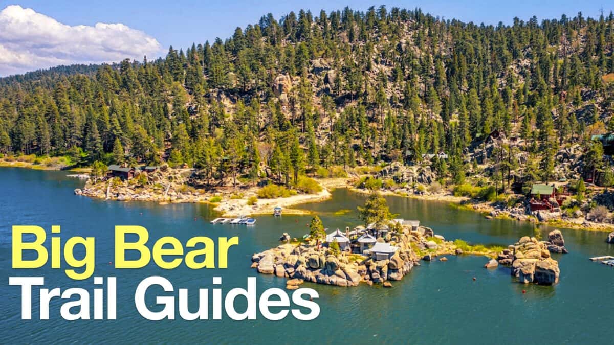 Big Bear Hikes
 LA Mountain Hikes
 San Bernardino National Forest Hiking Trails
Popular Guides
 Best Hiking Gear 2024
 Hiking Boots or Shoes: Do I Really Need Hiking Boots?
 When to Hit SOS on inReach
This Guide Was Written by Cris Hazzard

Hi, I'm Cris Hazzard, aka Hiking Guy, a professional outdoors guide, hiking expert, and author based in Southern California. I created this website to share all the great hikes I do with everyone else out there. This site is different because it gives detailed directions that even the beginning hiker can follow. I also share what hiking gear works and doesn't so you don't waste money. I don't do sponsored or promoted content; I share only the gear recommendations, hikes, and tips that I would with my family and friends. If you like the website and YouTube channel, please support these free guides (I couldn't do it without folks like you!). You can stay up to date with my new guides by following me on YouTube, Instagram, or by subscribing to my monthly newsletter.