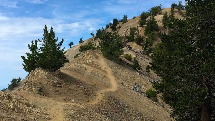

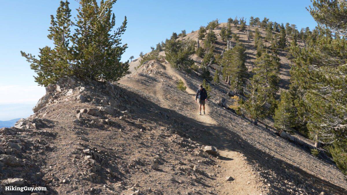
Hiking Mount Baden-Powell gives you a spectacular taste of the Angeles National Forest's high peaks without that much effort. You have to climb up the PCT, but the hike's shorter distance and steady gradient make it more of a challenging workout than a backcountry expedition. Baden-Powell is one of the classic hikes in the San Gabriels that you must add to your peak-bagging bucket list.
- Turn by Turn Hike Directions & Video
- Mt Baden-Powell Trail Maps
- How to Get to the Mt Baden-Powell Hike
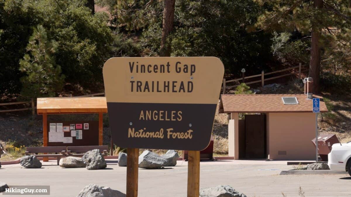
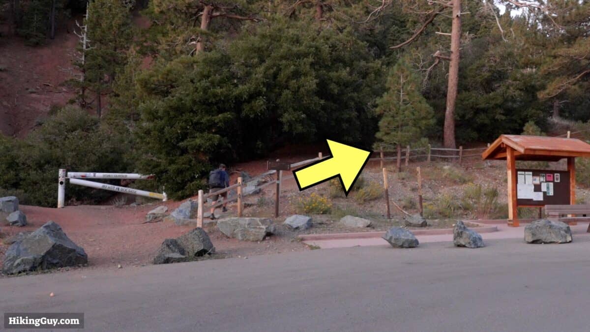
Getting to the Mount Baden-Powell Trailhead
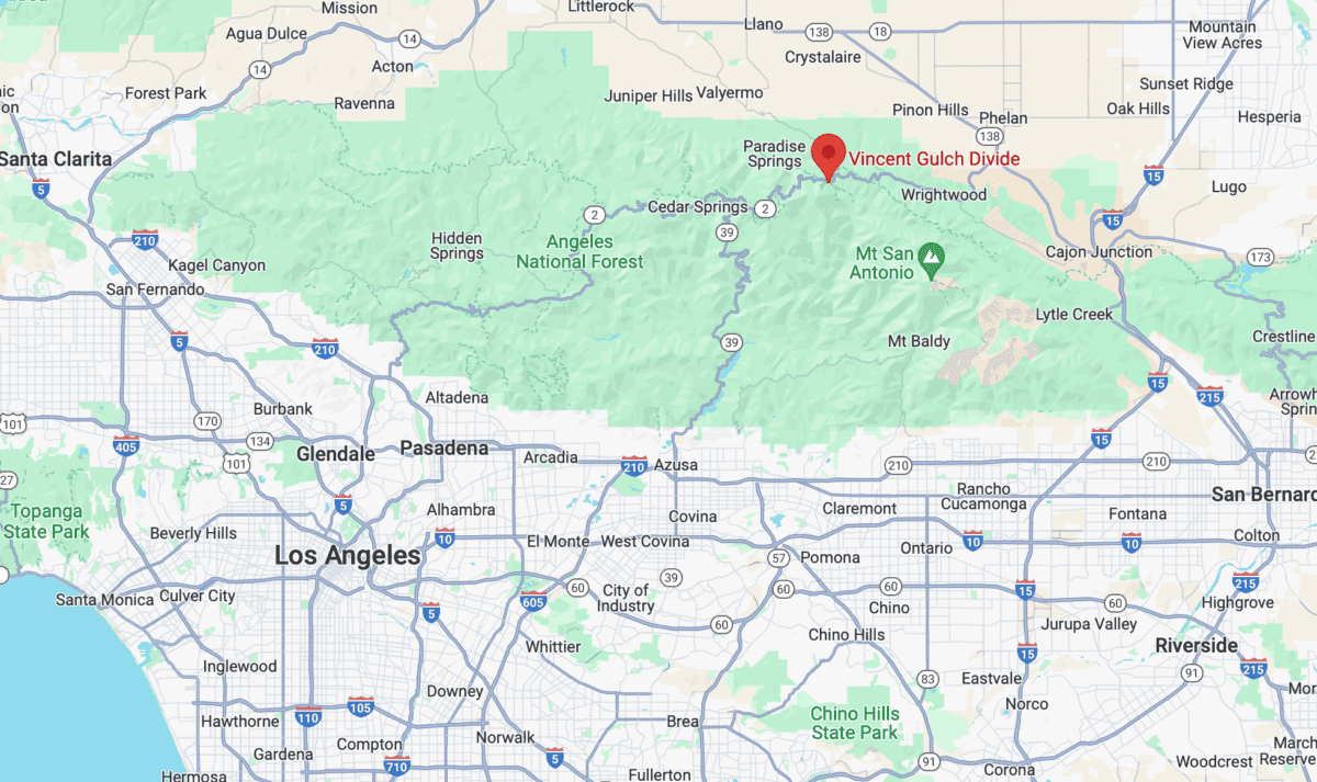
Use this trailhead address:
Vincent Gap Trailhead, Azusa, CA 91702
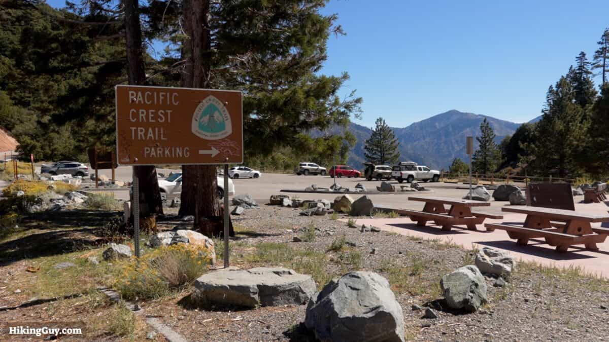
Parking Update
A third party is now charging $5 for trailhead parking and is not accepting parking passes. You can park accross the street for free. Be careful crossing the road.
Gear For the Hike
- This is a backcountry hike and you need to be well prepared with the essentials.
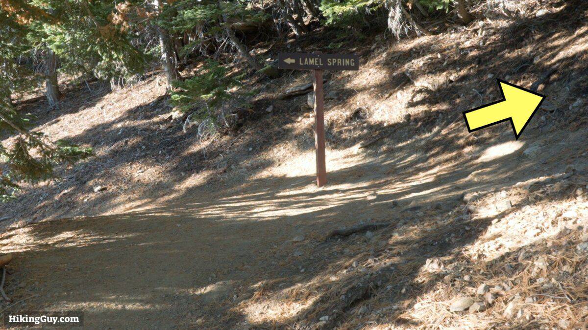
- I bring 2 liters of water. You can refill at Lamel Spring along the way.
- Trail runners and trekking poles are a good combo on the sl0pes here.
- There's not good (if any) cell reception here so bring your satellite communicator.
- In the winter after the snow and ice arrive, this fairly tame hike becomes more of a mountaineering experience. Give it a skip unless you have experience in these conditions.
Gear That I Love Right Now
Nothing is sponsored or promoted, just the actual gear that I use.


Check out the complete list here. ( Updated October 2024)
Mount Baden-Powell Trail Maps
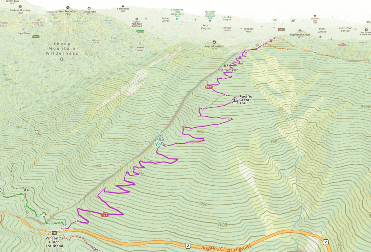
How Will You Navigate?
 Using the Apple Watch for Hiking
 Garmin Fenix 7 & Epix Review For Hikers
 How To Read a Topographic Map
 Garmin GPSMAP 67i Review
Worth Noting
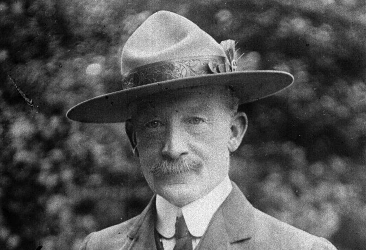
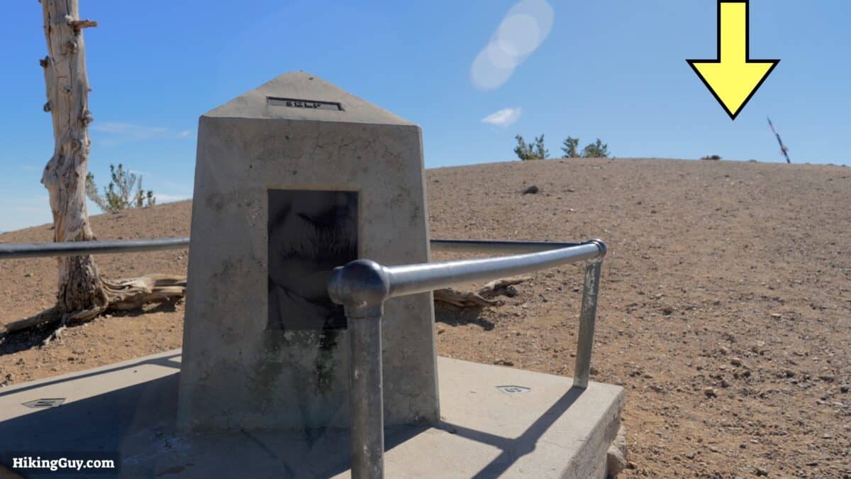
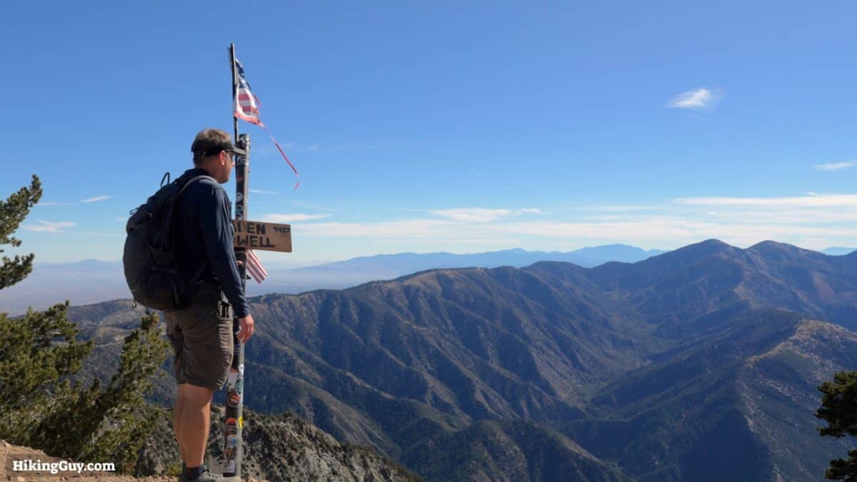
- Mt Baden-Powell was named after Lord Baden-Powell, who founded the Boy Scouts. In the 1950s, local Boy Scout chapters restored the trail here and named the mountain in his honor. Before that, this peak was called North Baldy.
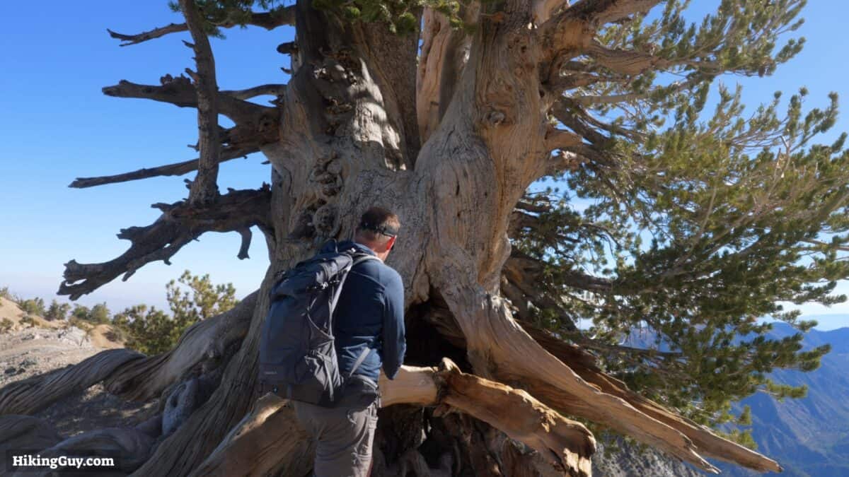
- Near the top, you'll see the Wally Waldron tree, named after a Boy Scout leader who restored the trail and created the Baden-Powell monument at the summit. The tree is approximately 1500 years old and is considered the oldest living thing in the San Gabriel Mountains.
- Most of the hike follows the Pacific Crest Trail (PCT), which goes from the borders of Mexico to Canada. If you want more of the PCT without hiking its 2650 miles, read Wild: From Lost to Found on the Pacific Crest Trail, a best-selling book later adapted into a movie.
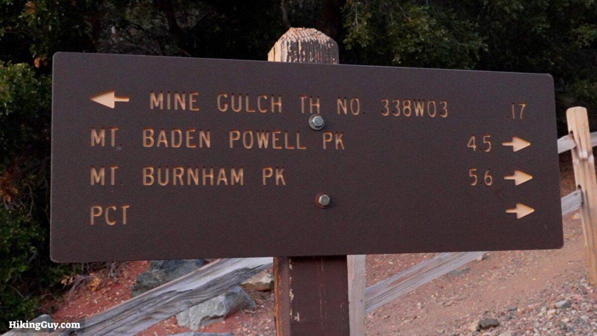
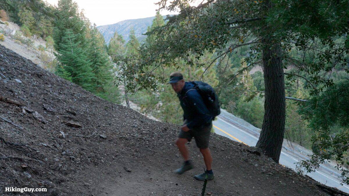
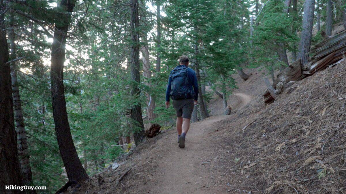
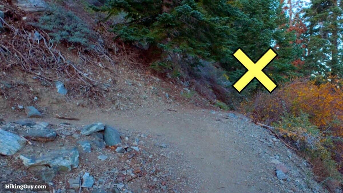
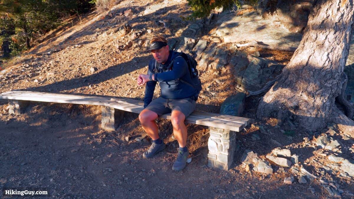
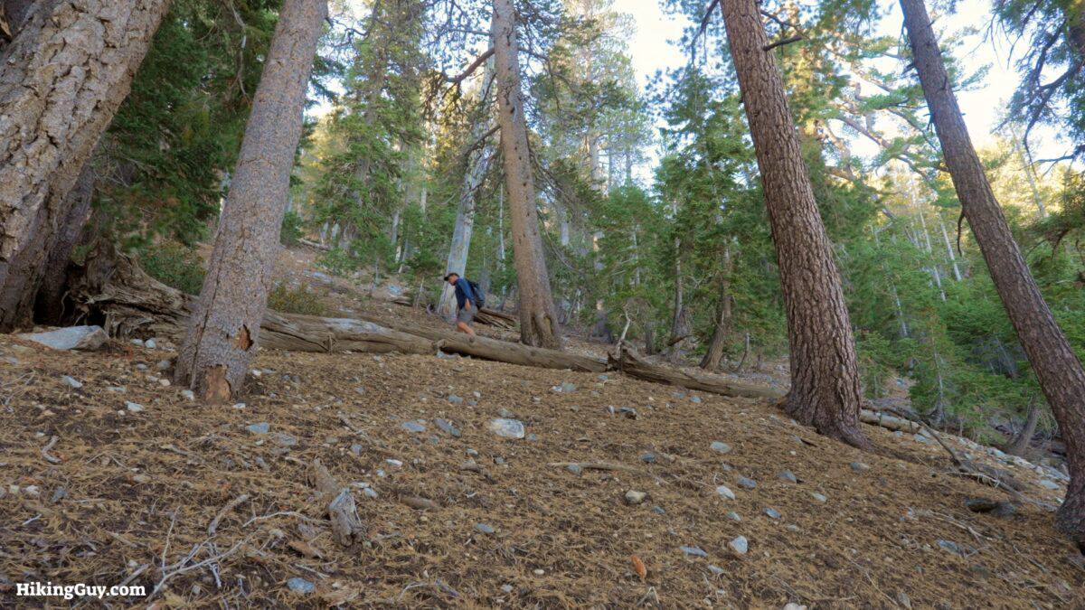
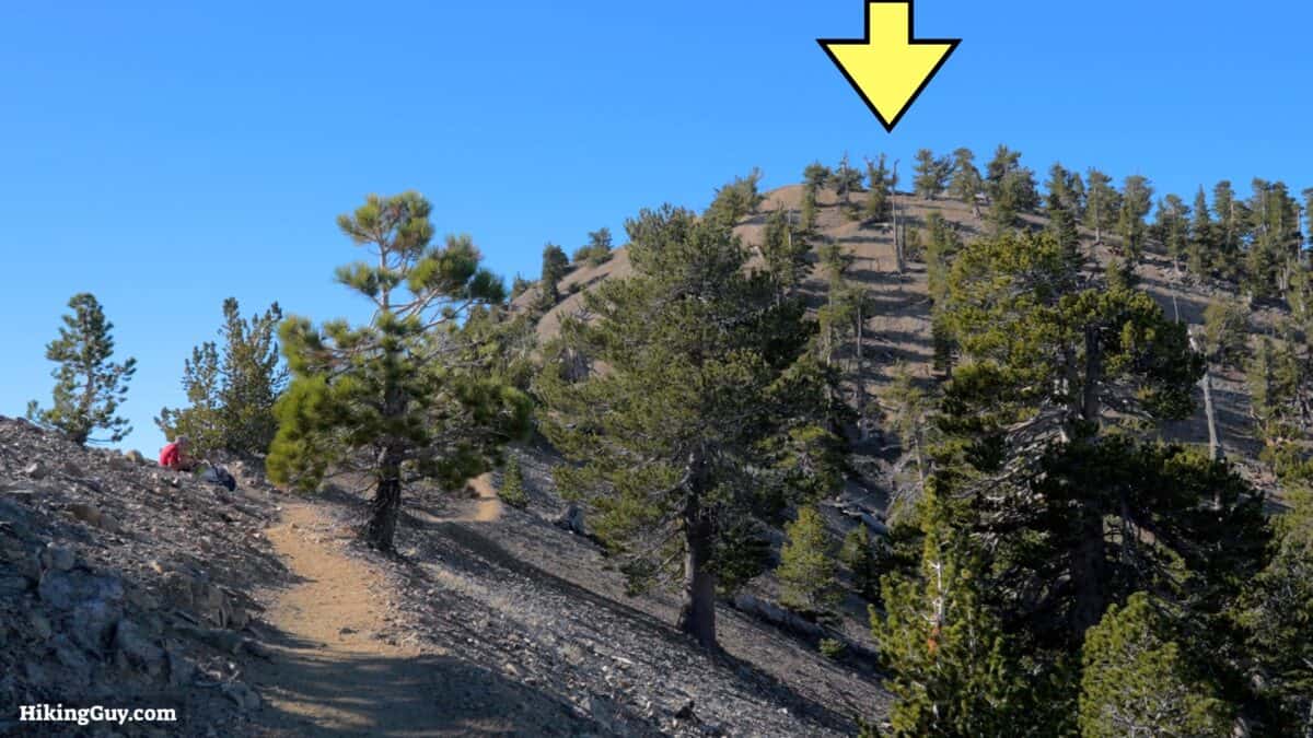
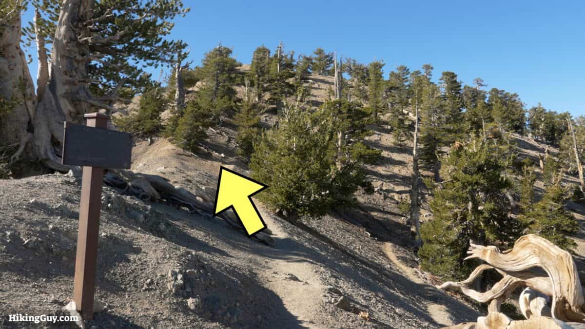
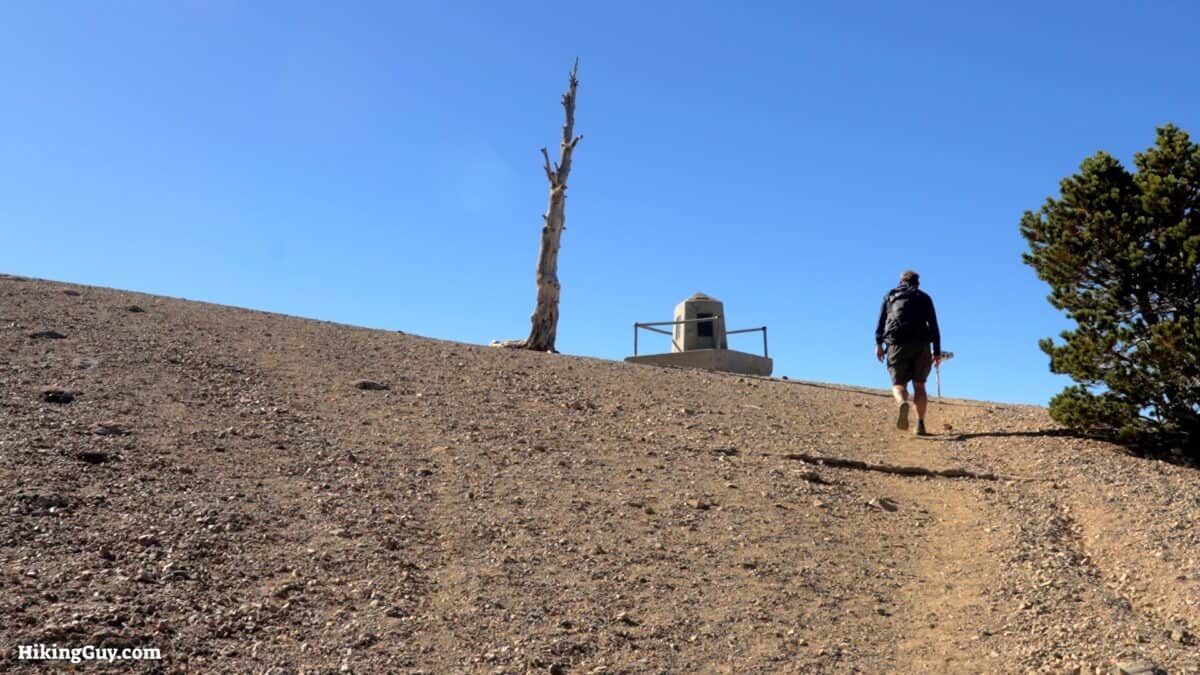
Mount Baden-Powell Hike Directions
Need More Info?
- Have a question about the guide? Join my Patreon and ask me a question.
- When planning, always check the park website and social media to make sure the trails are open. Similarly, check the weather and road conditions.
- Do you have an update to this guide? View the Youtube comments for this video. Leave a comment and I will do my best to update the guide.
Related Guides
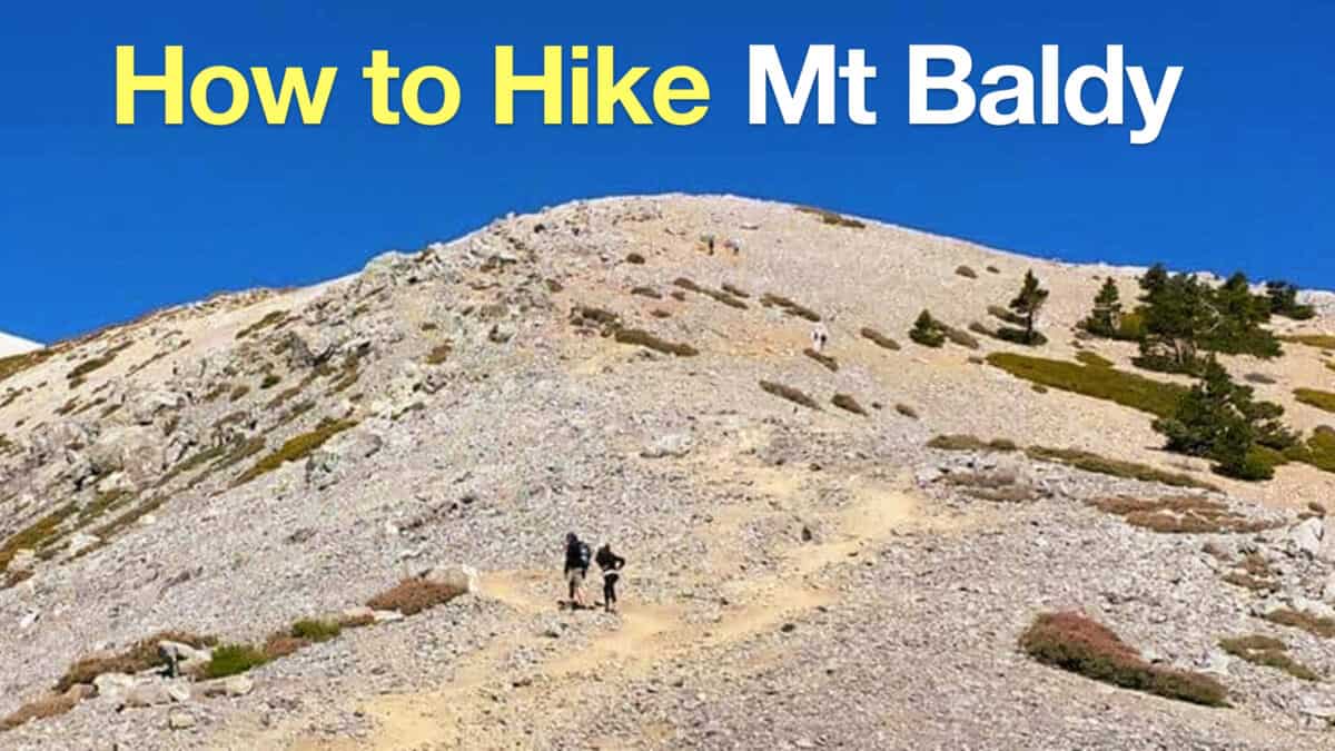 Mt Baldy Hike
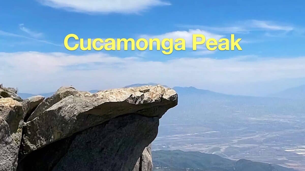 Cucamonga Peak Hike
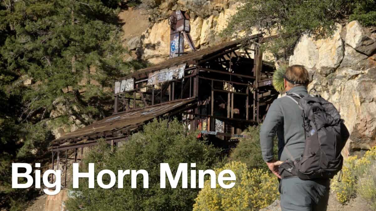 Big Horn Mine Trail & Vincent's Cabin
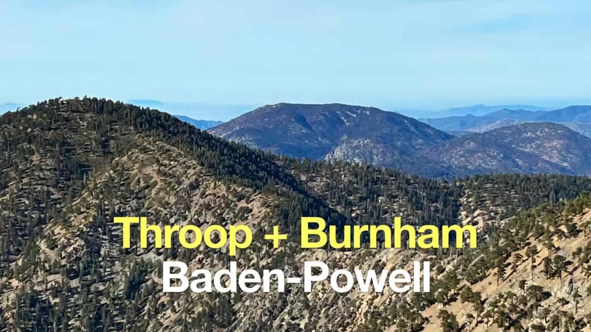 Throop Peak + Mount Burnham + Baden-Powell From Dawson Saddle
 Los Angeles Hikes
 Angeles National Forest Hikes
 LA Mountain Hikes
 San Gabriel Mountains National Monument Hiking
 Sierra Club 100 Peaks
Popular Guides
 Best Hiking Gear 2024
 Hiking Boots or Shoes: Do I Really Need Hiking Boots?
 When to Hit SOS on inReach
This Guide Was Written by Cris Hazzard

Hi, I'm Cris Hazzard, aka Hiking Guy, a professional outdoors guide, hiking expert, and author based in Southern California. I created this website to share all the great hikes I do with everyone else out there. This site is different because it gives detailed directions that even the beginning hiker can follow. I also share what hiking gear works and doesn't so you don't waste money. I don't do sponsored or promoted content; I share only the gear recommendations, hikes, and tips that I would with my family and friends. If you like the website and YouTube channel, please support these free guides (I couldn't do it without folks like you!). You can stay up to date with my new guides by following me on YouTube, Instagram, or by subscribing to my monthly newsletter.