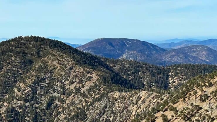

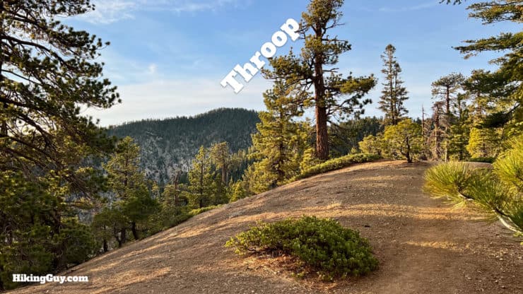
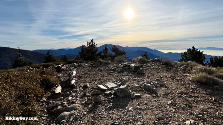
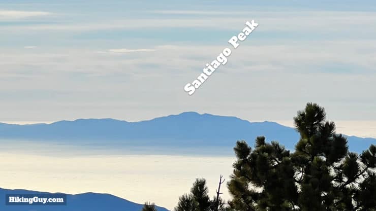
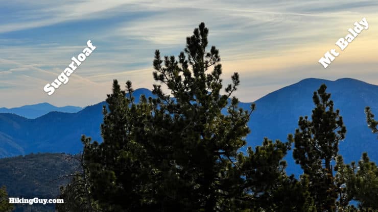
This hike, which takes in Throop Peak, Mount Burnham, and Mount Baden-Powell from Dawson Saddle, has dramatic high-mountain scenery and interesting history. This ridge of peaks was initially referred to as "North Baldy Mountain," with Throop Peak being the "West Twin" and Baden-Powell being the "East Twin." Whatever you want to call it now, this is a great hike, with three peaks to bag, expansive views, and well-groomed trails, including the PCT.
- Video and Turn-by-Turn Directions for the Hike
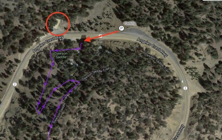
- Where to Park for Dawson Saddle
- Insider Tips and Recommendations
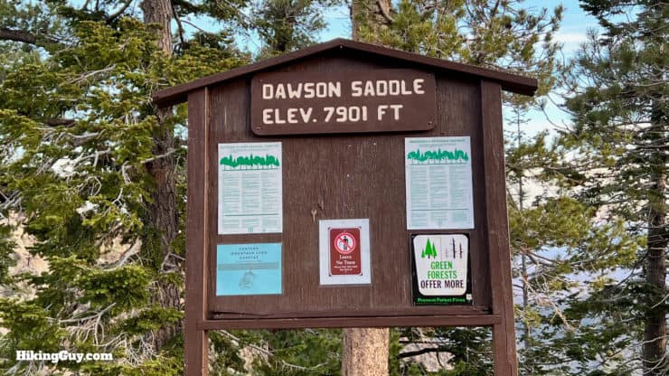
Where is Dawson Saddle?
This hike starts from Dawson Saddle, along Angeles Crest Highway (CA-2). Use this address:
Dawson Saddle, CA-2, California 91702
Check the road conditions before you go, this section of CA-2 can close in the winter.
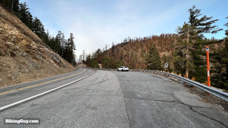
You do not need a parking pass or permit at Dawson Saddle.
Gear For the Hike
This is a high-altitude hike in the mountains, and you should be prepared accordingly. I find that 2L of water is usually enough, and that trekking poles are helpful on some of the steeper slopes.
Gear That I Love Right Now
Nothing is sponsored or promoted, just the actual gear that I use.


Check out the complete list here. ( Updated July 2024)
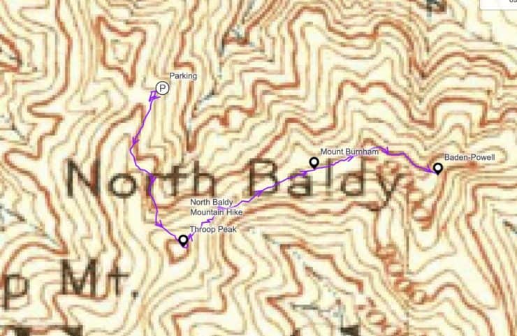
Trail Maps
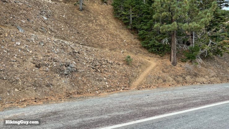
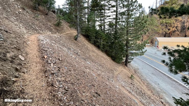
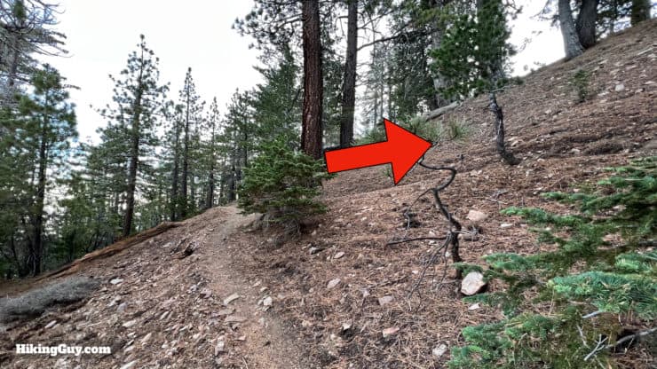
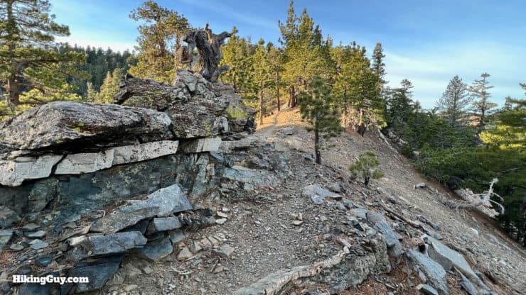
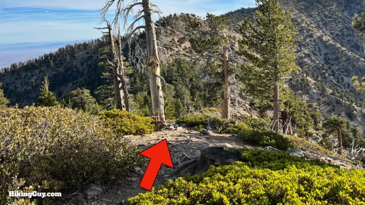
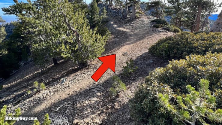
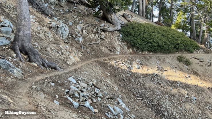
This hike will take a combination of established trails, and smaller (yet well-trodden) unofficial trails. If you have a GPS and load the GPX file, these smaller trail turnoffs should be obvious. And if not, there are plenty of footprints to go by.
How Will You Navigate?
 Using the Apple Watch for Hiking
 Garmin Fenix 7 & Epix Review For Hikers
 How To Read a Topographic Map
 Garmin GPSMAP 67i Review
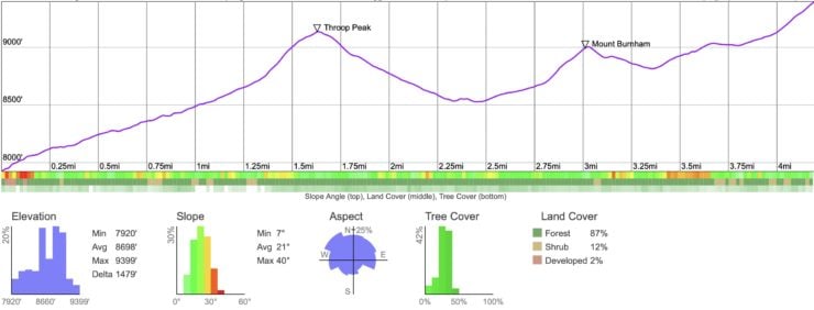
Elevation Profile
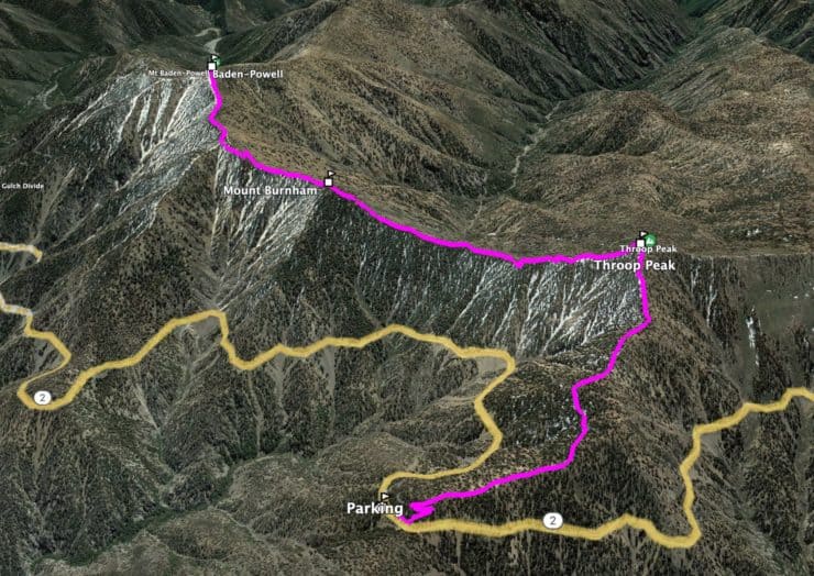
3D Map
Hike Brief
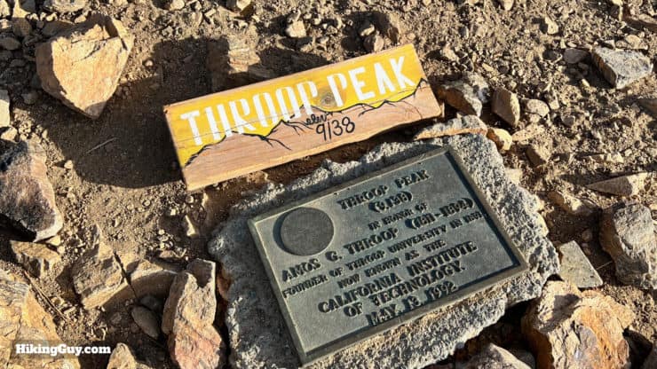
- Throop Peak is pronounced "troop," but I've also heard USFS personnel pronounce it "throop."
- Originally Throop Peak was called Dougherty Peak, after mountain man Charles Vincent Dougherty, aka Charles Vincent. Nearby Vincent Gap is named after him and you can visit his cabin.
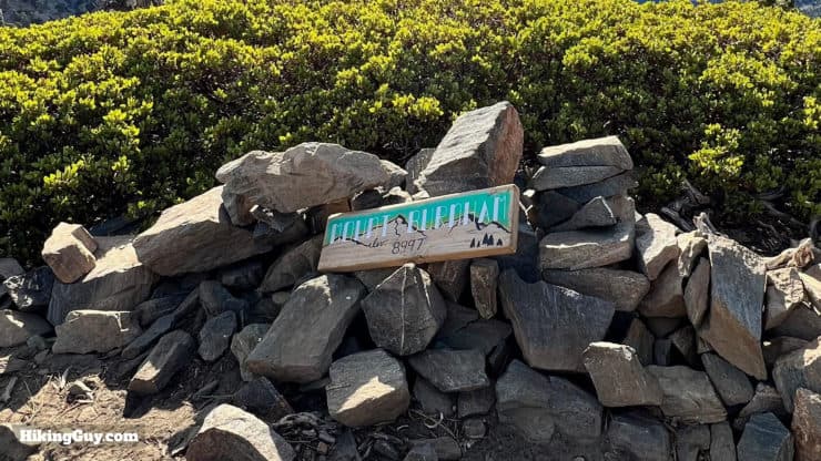
- In 1916 an early hiker named the peak after his alma mater, Throop Polytechnic Institute in Pasadena, later becoming the California Institute of Technology. Today a summit marker denotes that the peak is named after Amos Throop, founder of the school. I guess that all works out.
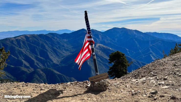
- If you're doing this hike, you've probably already hiked to Baden-Powell from Vincent Gap and know that Baden-Powell was the founder of the Boy Scouts. You may not know that he never actually stepped foot on the peak of Baden-Powell or hiked around here. He was a don of the British Empire who managed to get around the globe quite a bit. He's buried by Mount Kenya.
- Mount Burnham was named after Major Frederick Russell Burnham, a buddy of Baden-Powell and another guy active in the Boy Scout movement.
- From 1906 to 1911 the SoCal event that people went crazy for was the "North Baldy Race" or "Baldy Race" for short, an automobile race from LA to Big Horn Mine by way of North Baldy.
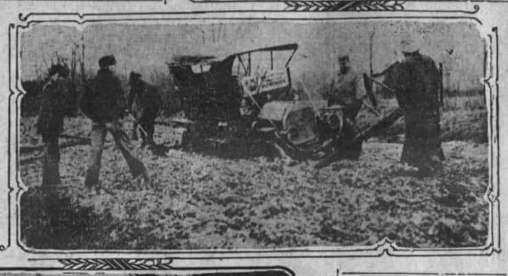
When the North Baldy Race was run, Angeles Crest Highway hadn't been built yet. Racers drove over dirt and rough tracks to climb thousands of feet into the San Gabriels. Photo LA Times, 1 Aug 1908.
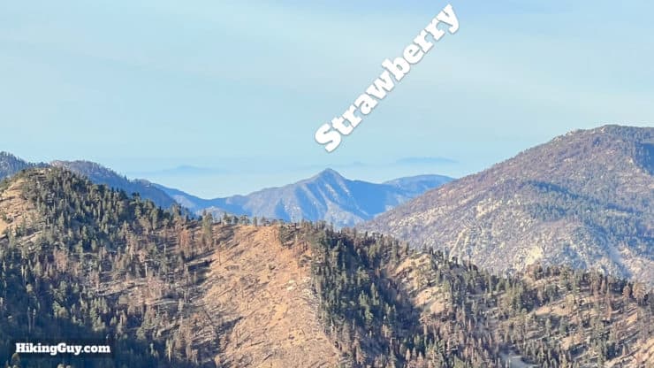
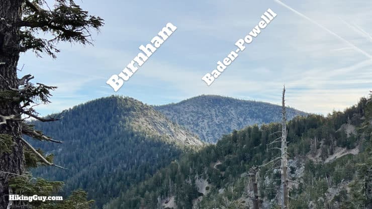
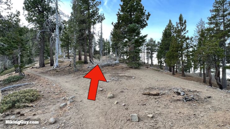
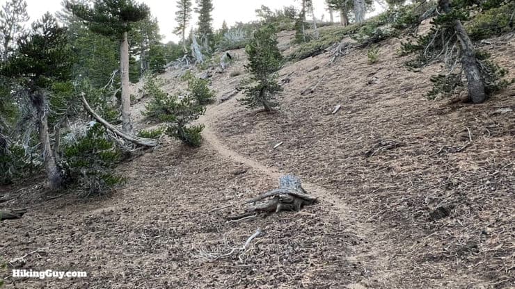
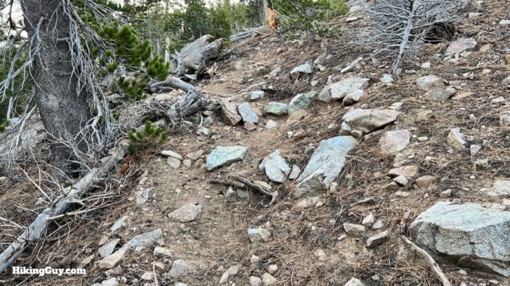
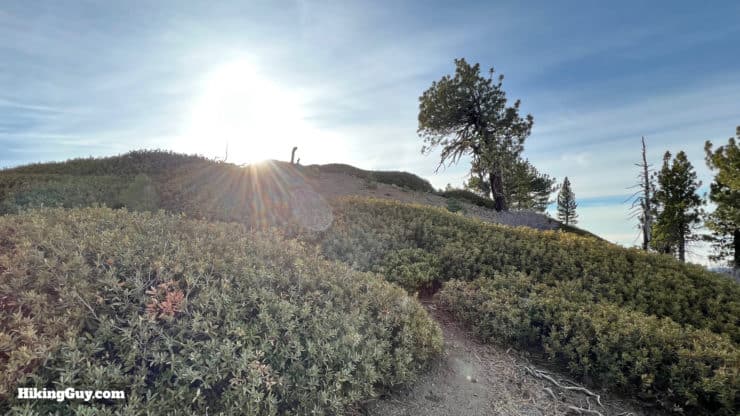
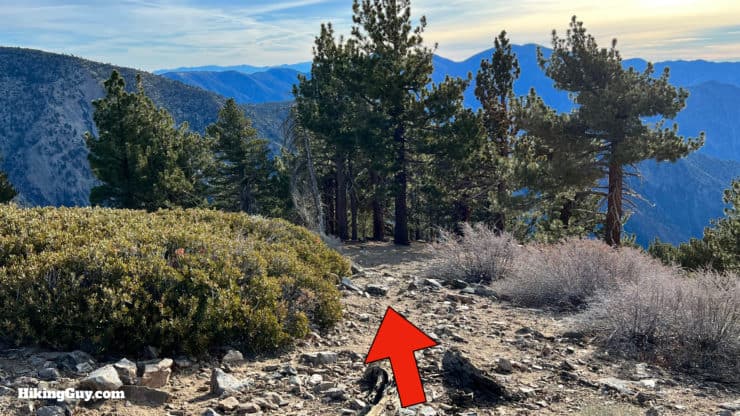
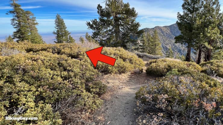
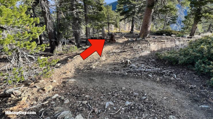
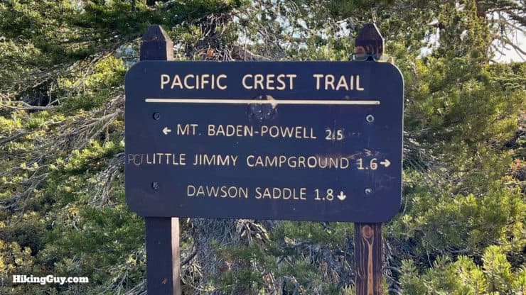
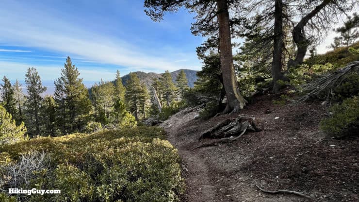
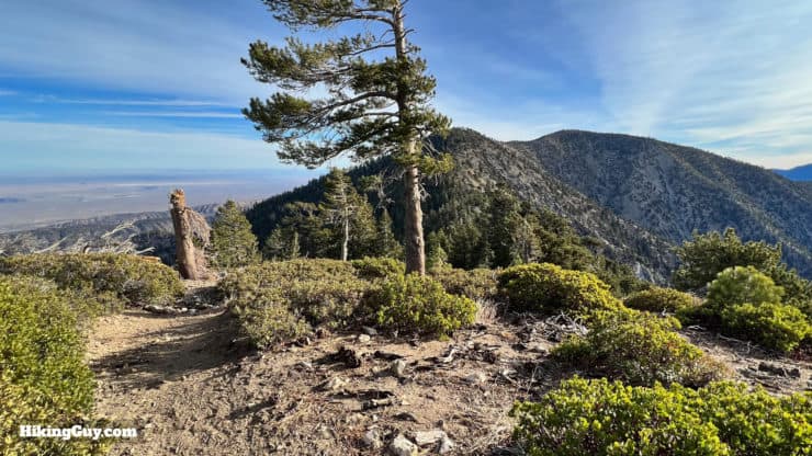
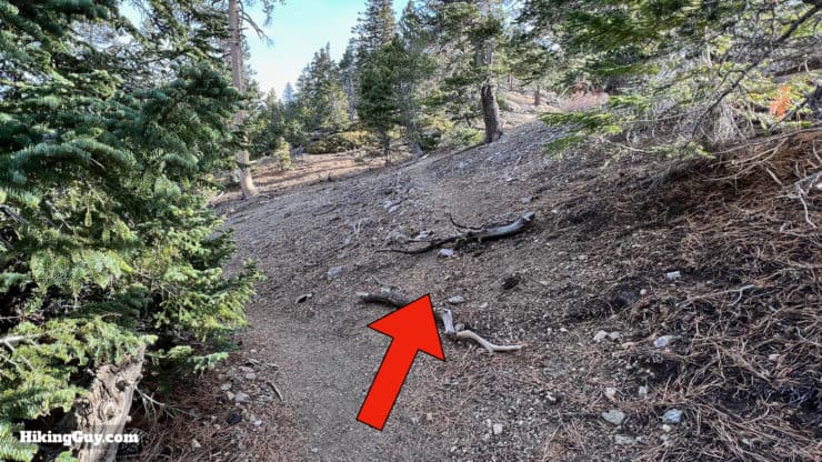
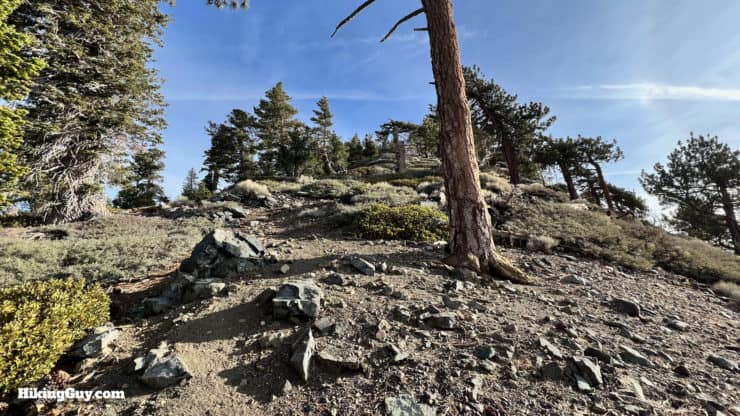
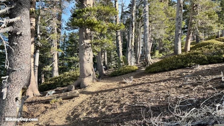
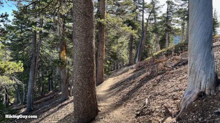
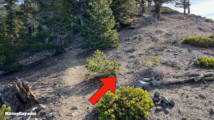
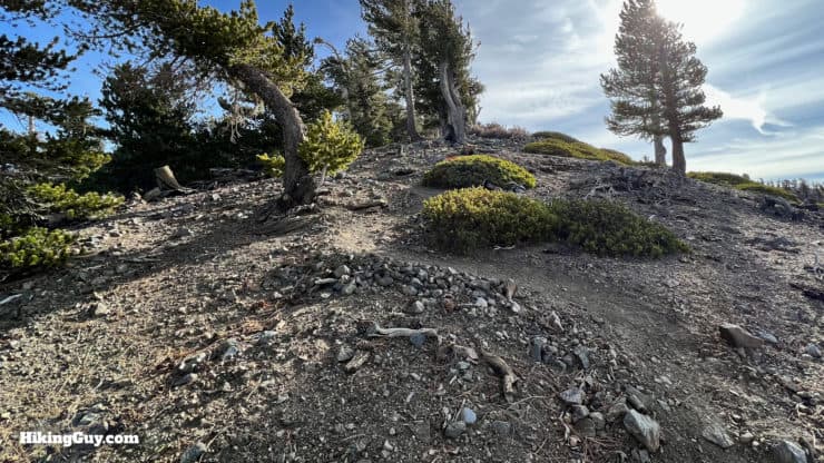
North Baldy Ridge Hike Directions
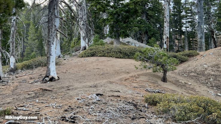
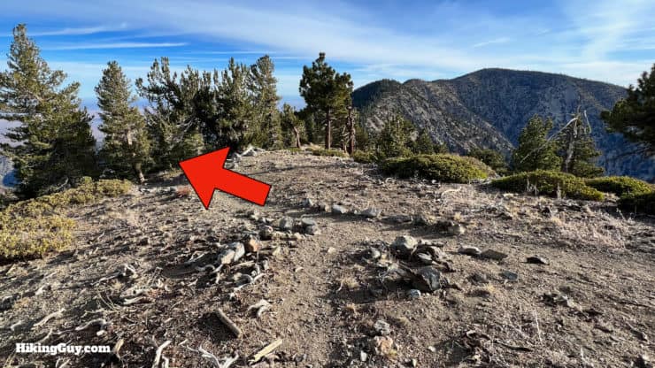
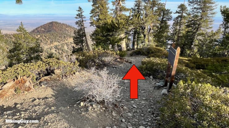
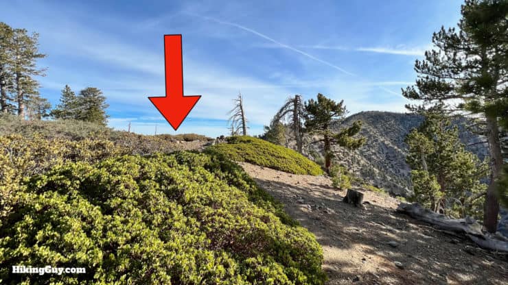
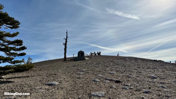
From here, just turn around and head back.
Need More Info?
- Have a question about the guide? Join my Patreon and ask me a question.
- When planning, always check the park website and social media to make sure the trails are open. Similarly, check the weather and road conditions.
- Do you have an update to this guide? View the Youtube comments for this video. Leave a comment and I will do my best to update the guide.
Related Guides
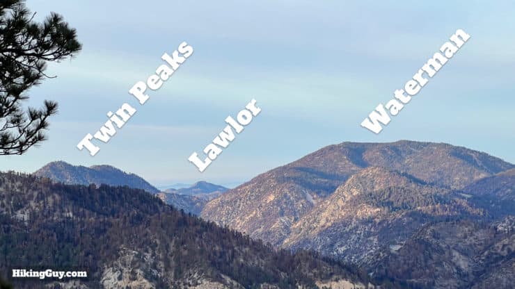
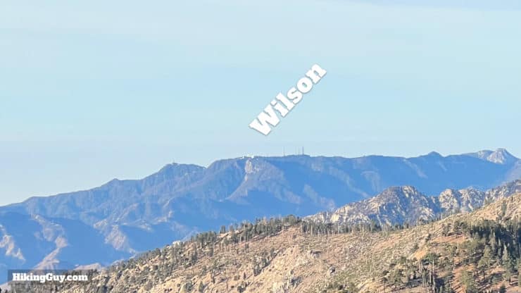
 Hike Mt Waterman & Twin Peaks
 Mt Hawkins Loop Hike (Hawkins, Middle, and South Mount Hawkins)
 Mt Baden-Powell Hike
 Hike Wright Mountain From Inspiration Point
 Los Angeles Hikes
 Angeles National Forest Hikes
 Backpacking Trips
 LA Mountain Hikes
 San Gabriel Mountains National Monument Hiking
 Sierra Club 100 Peaks
Popular Guides
 Best Hiking Gear 2024
 Hiking Boots or Shoes: Do I Really Need Hiking Boots?
 When to Hit SOS on inReach
This Guide Was Written by Cris Hazzard

Hi, I'm Cris Hazzard, aka Hiking Guy, a professional outdoors guide, hiking expert, and author based in Southern California. I created this website to share all the great hikes I do with everyone else out there. This site is different because it gives detailed directions that even the beginning hiker can follow. I also share what hiking gear works and doesn't so you don't waste money. I don't do sponsored or promoted content; I share only the gear recommendations, hikes, and tips that I would with my family and friends. If you like the website and YouTube channel, please support these free guides (I couldn't do it without folks like you!). You can stay up to date with my new guides by following me on YouTube, Instagram, or by subscribing to my monthly newsletter.