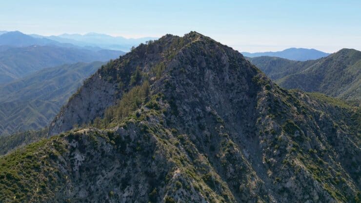

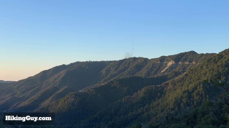
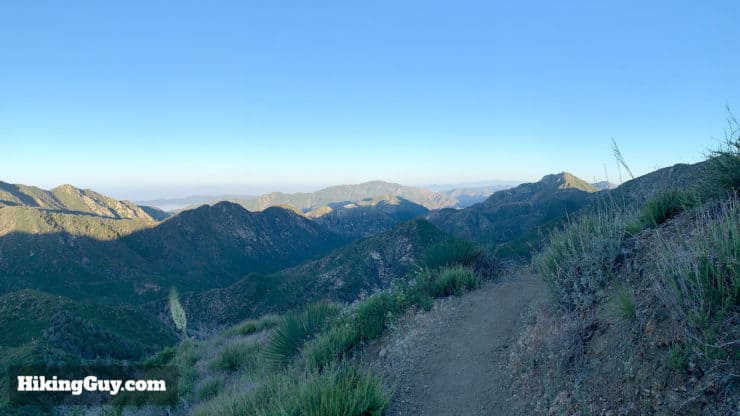
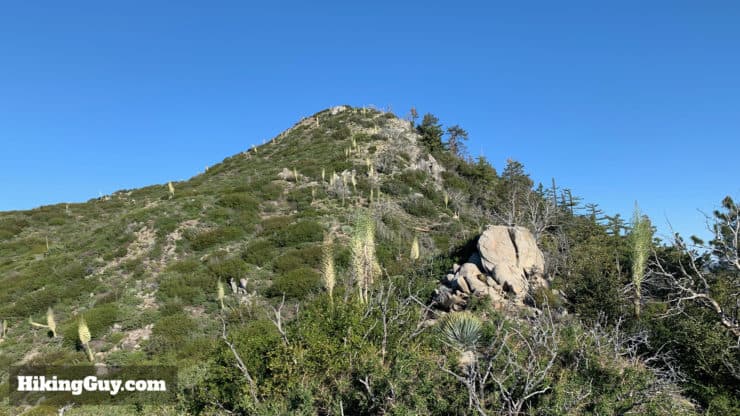
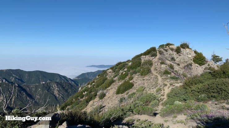
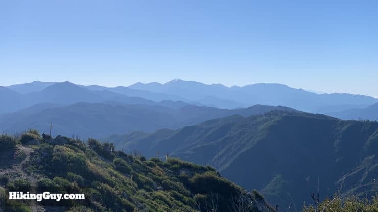
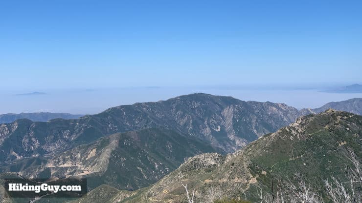
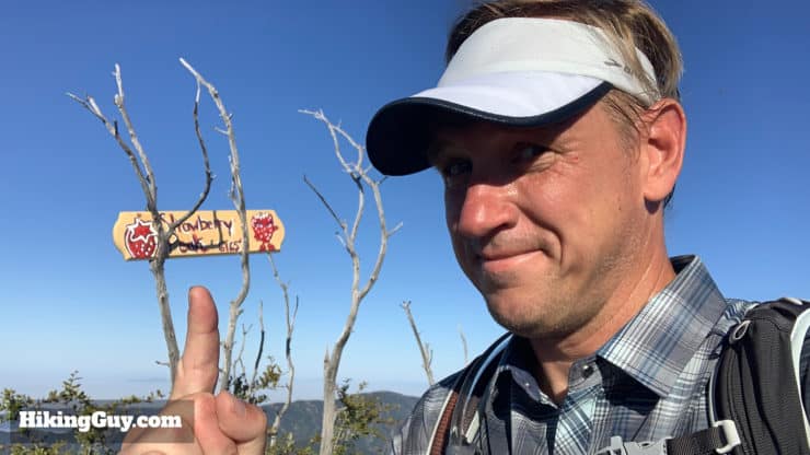
This Strawberry Peak hike offers a ton of great scenery in a relatively short distance. You wind around a ridge on Mt Lawlor with spectacular views, then do a short but tough climb to Strawberry Peak, the highest point in the front range of the San Gabriels at 6,164ft. You'll earn great views of LA, Mt Wilson, and Mt Baldy. It's a fun hike on its own, but even more attractive if you want to get a mountain climb in to build confidence for the higher peaks in the area.
- Turn by Turn Hike Directions & Hike Video
- Strawberry Peak Trail Maps
- How to Get to the Strawberry Peak Hike
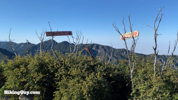
Why is it called Strawberry Peak? Because it looks like an upside-down strawberry. So there's that.
Where is Strawberry Peak?
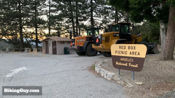
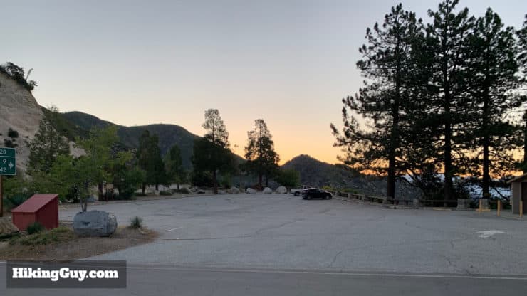
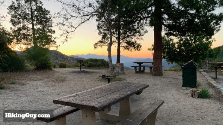
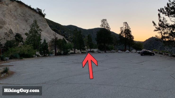
The trailhead for Strawberry Peak is in the easy to find Red Box Picnic area. You need a National Parks Pass or Adventure Pass to park here. There are primitive bathrooms and picnic benches, but no other services.
Use this trailhead address:
Red Box Picnic Area, Angeles Crest Hwy, Azusa, CA 91101
Gear For the Hike
One of the convenient things about Strawberry Peak is that you can generally climb it year round. It does occasionally get snow, but it tends to melt quickly. A more common scenario is sun and heat; there's minimal cover on this hike. It's generally best to leave very early when it's cool in the warmer month. Sunscreen and 2L of water are a safe bet here.
The last section is steep and if you like trekking poles on climbs or descents, this is a great place to have them.
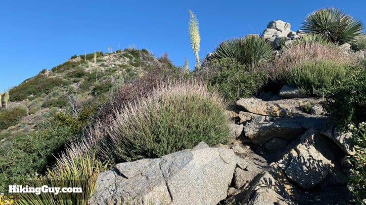
There's also a decent amount of brush along the trail, so long hiking pants are nice unless you have lizard skin legs like me.
If you want to check if there's snow on your hike, read this guide.
Gear That I Love Right Now
Nothing is sponsored or promoted, just the actual gear that I use.


Check out the complete list here. ( Updated July 2024)
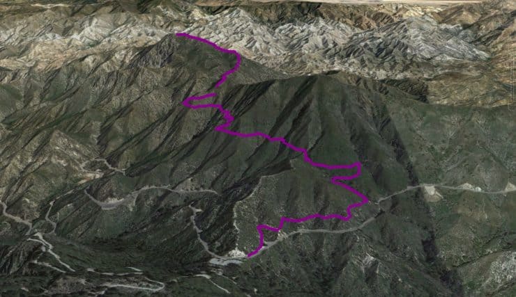
Strawberry Peak Trail Maps
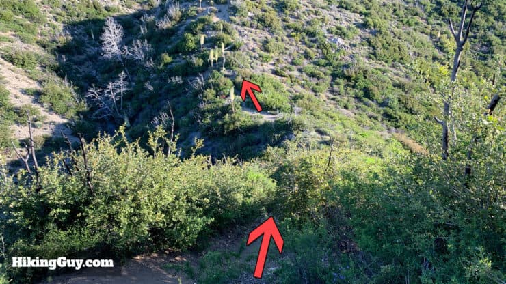
There are a few ways to hike Strawberry Peak, but this route from Red Box Picnic Area is probably the most common route and doesn't involve any scrambling. I highly recommend this route because you have great parking, bathrooms, and a very scenic route to the summit.
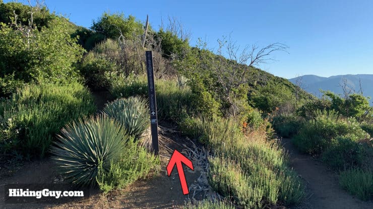
There are also some small side trails to Mt Lawlor and other points. In general, the side trails off this hike are pretty rough, so if you decide to improvise and mix up the route, just a heads up.
How Will You Navigate?
 Using the Apple Watch for Hiking
 Garmin Fenix 7 & Epix Review For Hikers
 How To Read a Topographic Map
 Garmin GPSMAP 67i Review
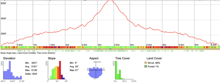
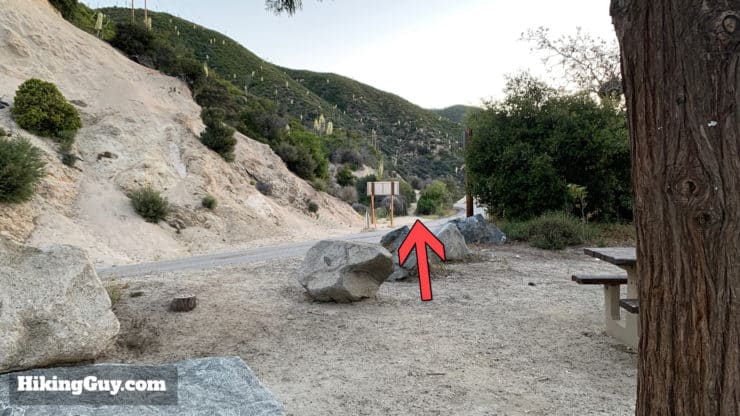
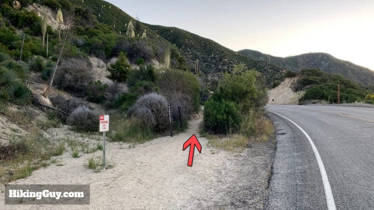
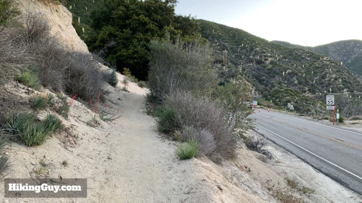
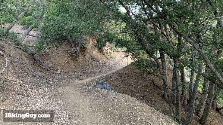
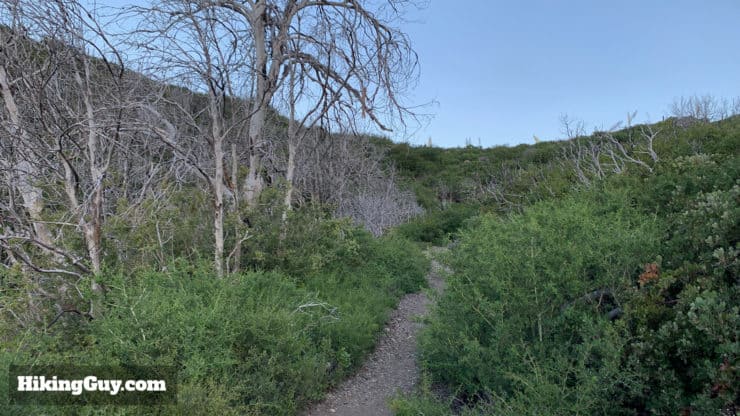
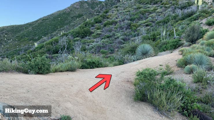
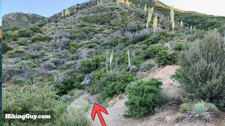
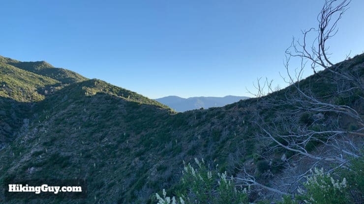
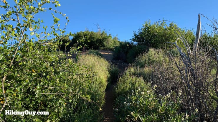
Strawberry Peak Hike Directions
Check out the nearby Switzer Falls hike for a mellow, post-Strawberry Peak experience.
Need More Info?
- Have a question about the guide? Join my Patreon and ask me a question.
- When planning, always check the park website and social media to make sure the trails are open. Similarly, check the weather and road conditions.
- Do you have an update to this guide? View the Youtube comments for this video. Leave a comment and I will do my best to update the guide.
Related Guides
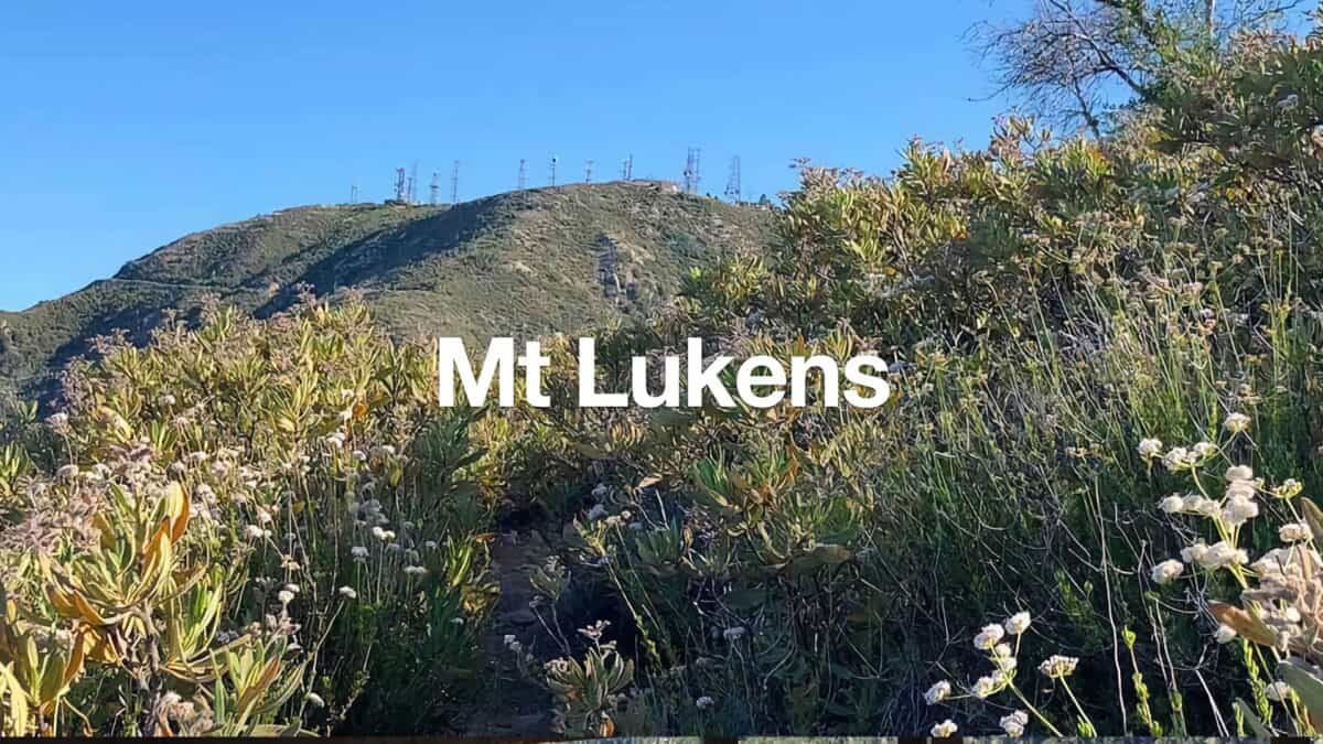 Hike Mt Lukens From Deukmejian Wilderness Park
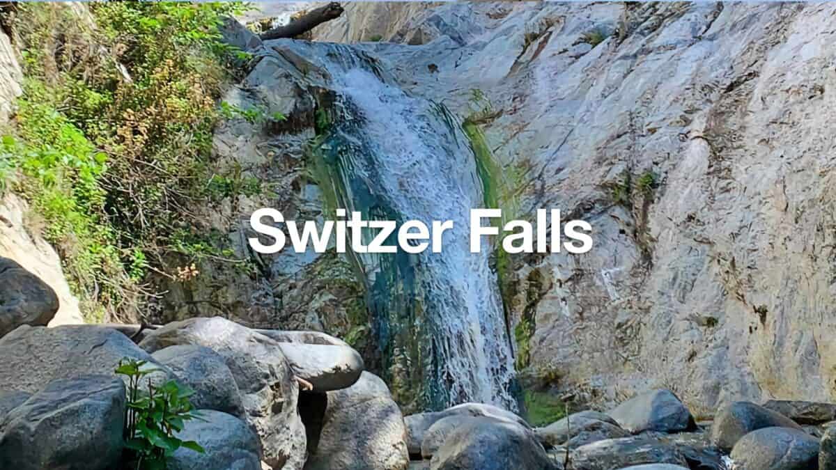 Switzer Falls Hike
 Hike Mt Waterman & Twin Peaks
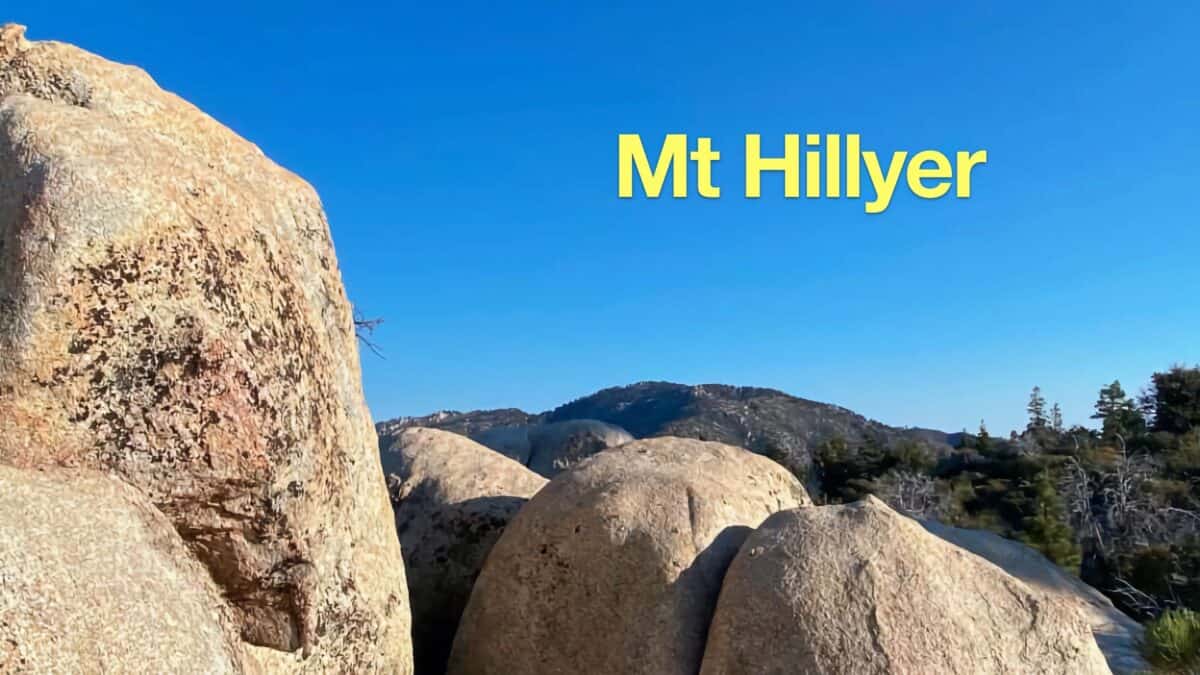 Mt Hillyer Trail Hike
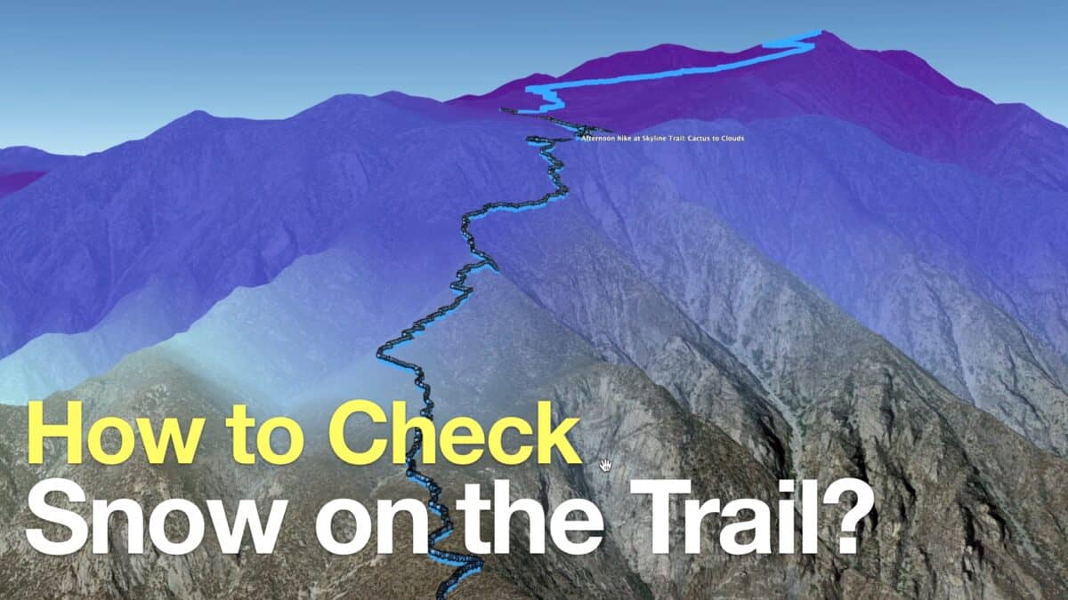 How to Check If There Is Snow On the Trail
 Hike Pacifico Mountain on the PCT
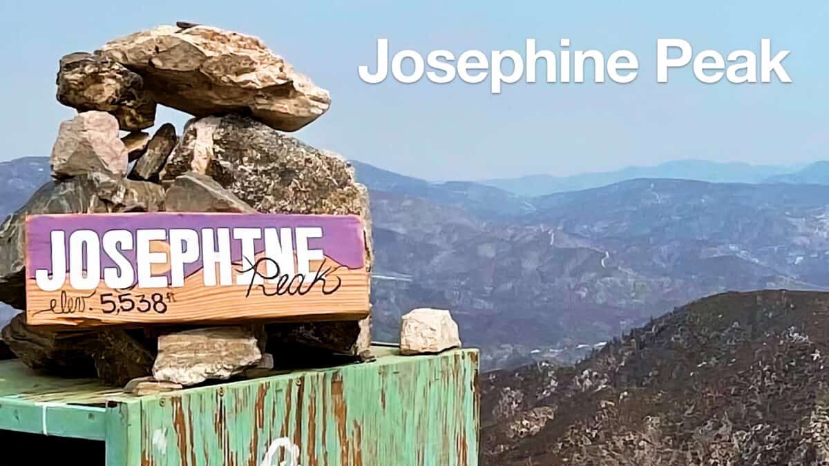 Hike Josephine Peak From Colby Canyon
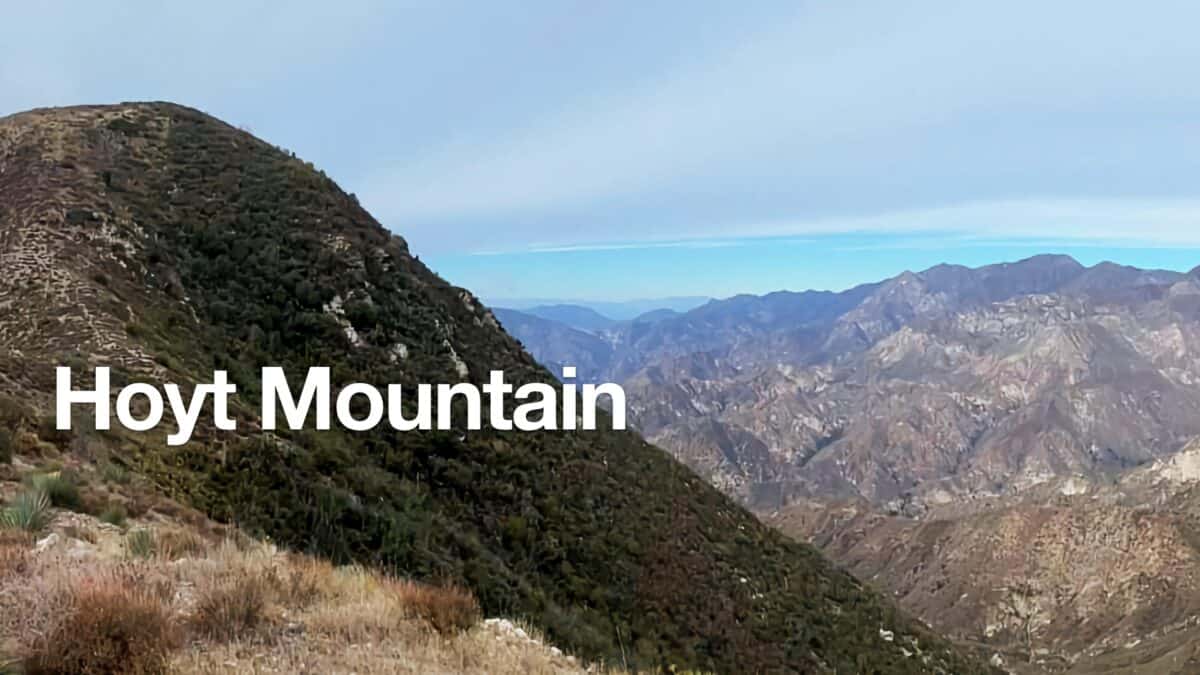 Hoyt Mountain Hike
 Condor Peak Trail
 Los Angeles Hikes
 Angeles National Forest Hikes
 LA Mountain Hikes
 San Gabriel Mountains National Monument Hiking
 Sierra Club 100 Peaks
Popular Guides
 Best Hiking Gear 2024
 Hiking Boots or Shoes: Do I Really Need Hiking Boots?
 When to Hit SOS on inReach
This Guide Was Written by Cris Hazzard

Hi, I'm Cris Hazzard, aka Hiking Guy, a professional outdoors guide, hiking expert, and author based in Southern California. I created this website to share all the great hikes I do with everyone else out there. This site is different because it gives detailed directions that even the beginning hiker can follow. I also share what hiking gear works and doesn't so you don't waste money. I don't do sponsored or promoted content; I share only the gear recommendations, hikes, and tips that I would with my family and friends. If you like the website and YouTube channel, please support these free guides (I couldn't do it without folks like you!). You can stay up to date with my new guides by following me on YouTube, Instagram, or by subscribing to my monthly newsletter.