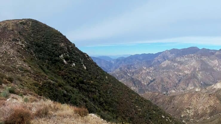

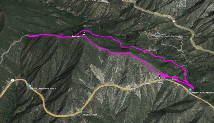
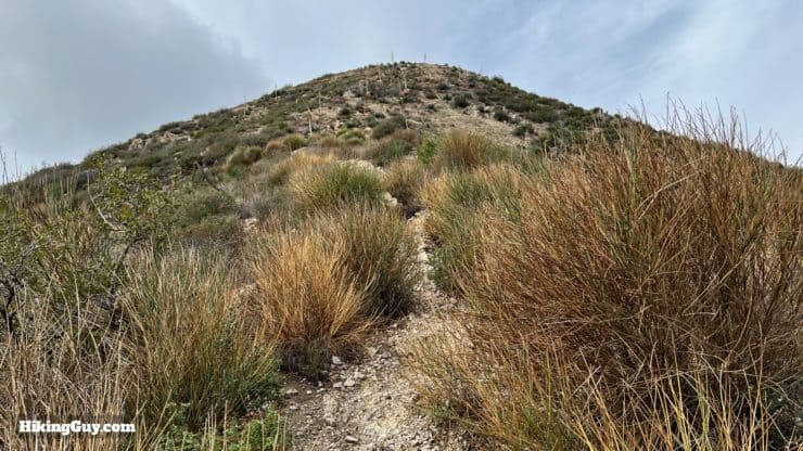
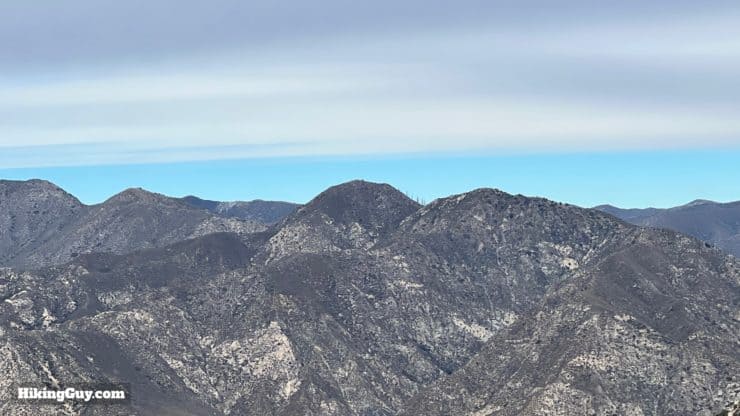
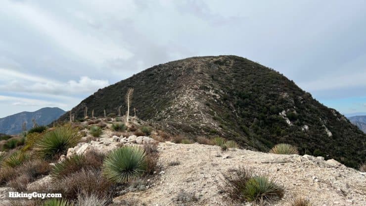
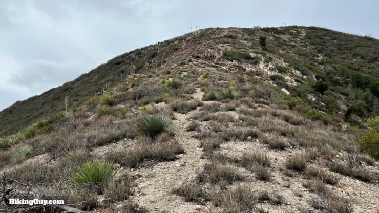
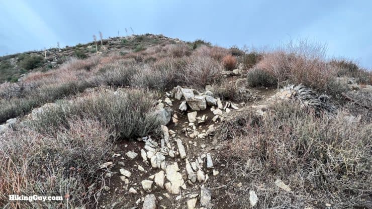
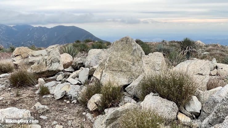
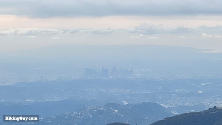
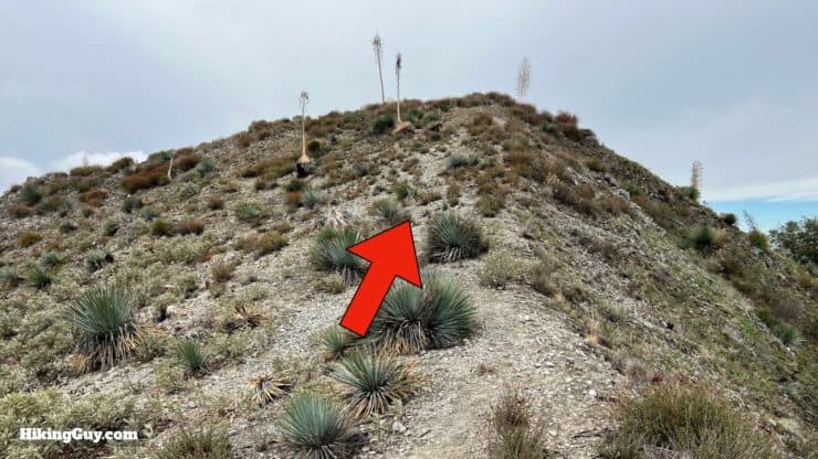
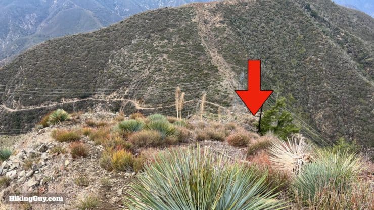
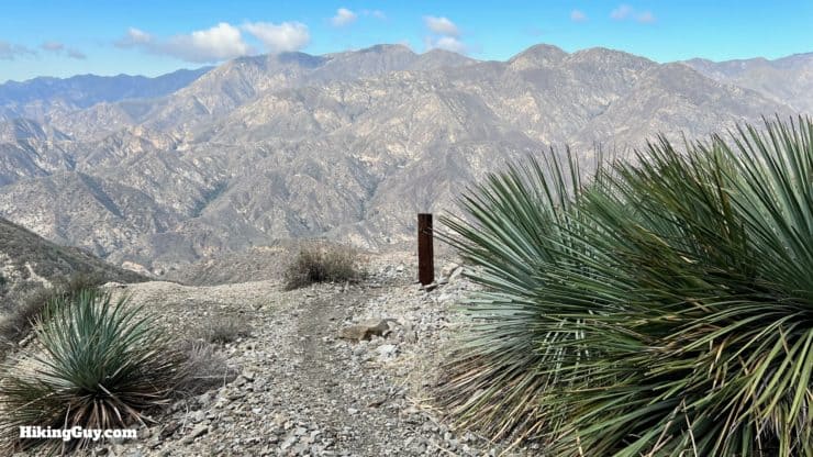
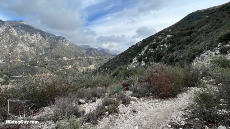
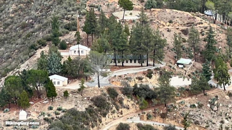
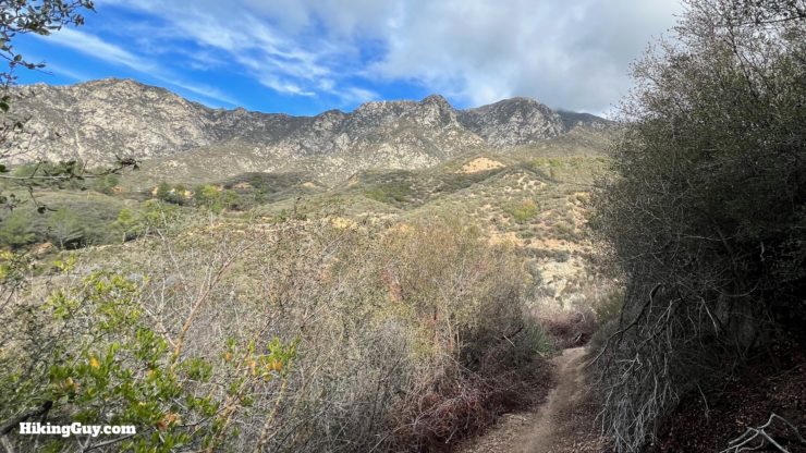
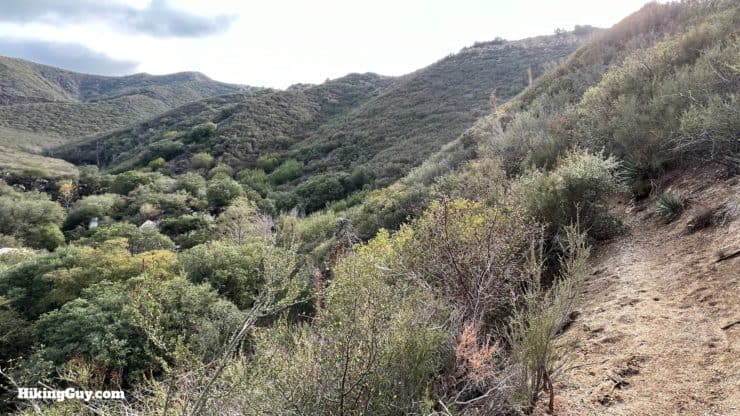
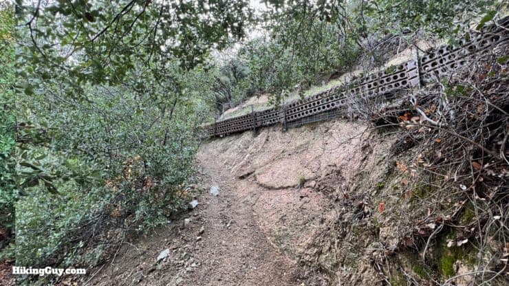
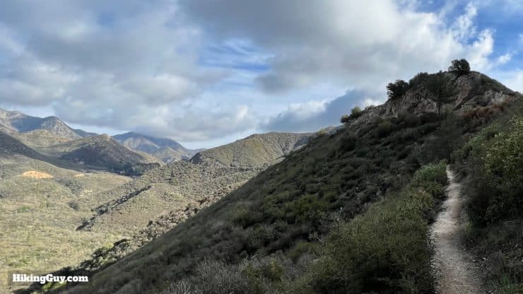
The hike to Hoyt Mountain, often overshadowed by its more popular neighbors, is a great adventure packed into 4 miles. To start, you'll scramble up a challenging use trail to the summit, which offers panoramic views into Angeles National Forest and along the San Gabriel Fault. The hike continues by looping down and circling the mountain along an old trail blasted out of the cliffside about 100 years ago. Along the way, you'll even pass LA's outdoor school for kids, which has been operating continuously since 1925.
- Video and Turn-by-Turn Directions for Hoyt Mountain
- Where to Park For the Hike
- Insider Tips & Recommendations
Where is Hoyt Mountain?
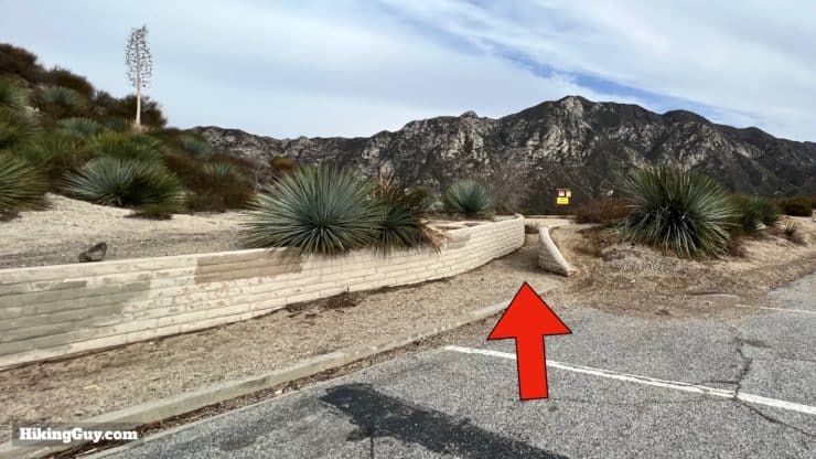
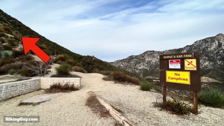
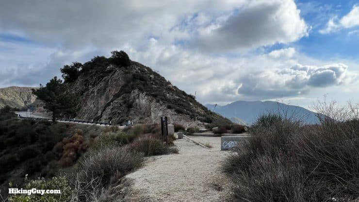
You can find the trailhead a short way up CA-2, the Angeles Crest Highway, at Georges Gap. Use this trailhead address:
Georges Gap, Tujunga, CA 91042
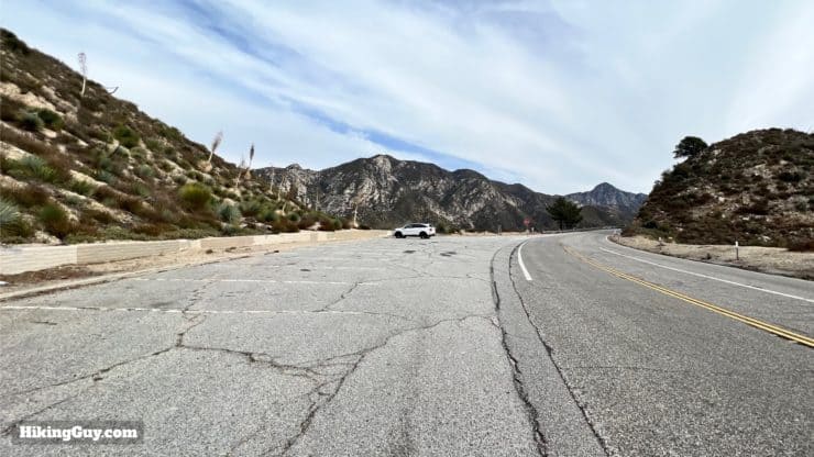
You don't need a pass to park at Georges Gap.
Gear For the Hike
The first part of the hike requires a steep climb up a loose dirt trail, and then there's a steep descent; having trekking poles and good footwear is a must here. Long pants are also helpful if some sections are overgrown. 1L of water is enough for the short distance, even in the summer when it can be very hot at this lower elevation.
Gear That I Love Right Now
Nothing is sponsored or promoted, just the actual gear that I use.


Check out the complete list here. ( Updated October 2024)
Hoyt Mountain Trail Maps
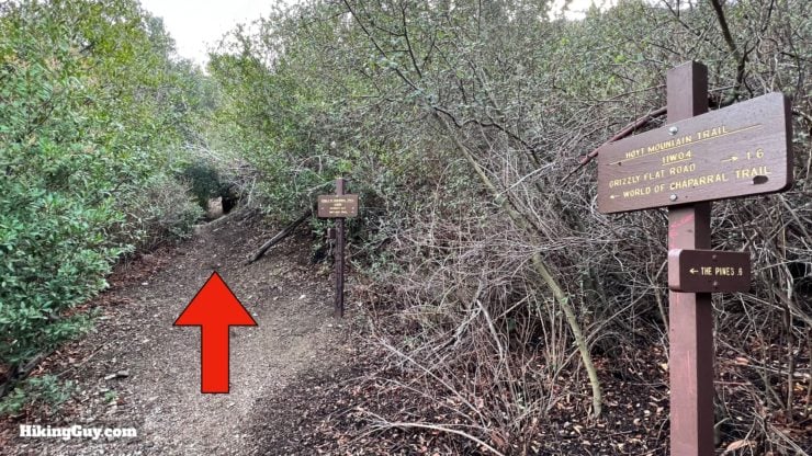
This loop takes a few trails:
- An unofficial and steep trail up and over Hoyt Mountain (marked as "firebreak" on USGS maps).
- The Hoyt Mountain Trail (11W04) back around the mountain. This trail is also marked as the Telephone Trail on some maps, and is shown as an extension of Grizzly Flat Road on others.
- The World of Chaparral Trail (11W03) back to Georges Gap.
How Will You Navigate?
 Using the Apple Watch for Hiking
 Garmin Fenix 7 & Epix Review For Hikers
 How To Read a Topographic Map
 Garmin GPSMAP 67i Review
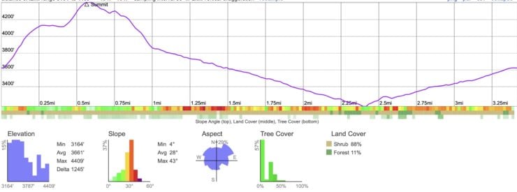
Elevation Profile
3D Map
Hike Brief

- Hoyt Mountain is named after Silas Hoyt, who had built a ranch close to the mountain in 1888. He was referred to in newspapers as "the hermit of Big Tujunga Canyon." The ranch was destroyed in a landslide in the 1930s.
- There was a famous court case surrounding Hoyt Ranch in 1917. Allegedly two hunters found Hoyt in 1902, at the time 80 years old, emaciated and living in squalor. They offered to improve the ranch, farm the area, and take care of him if Hoyt would lease them the land. Well, they improved the land, started ranching, and even explored some mining prospects, but then Hoyt wanted to back out of the deal. The case went to court after Hoyt died in 1916 when his estranged daughters fought for the inheritance. In 1919 the CA state supreme court eventually ruled in favor of the two hunters, who "gifted" three-quarters of the land back to the state. It's hard to say whether the hunters were genuine do-gooders who deserved the land, or hustlers who took advantage of an old man.
- Although known as Hoyt Mountain for many years, the summit wasn't an official USGS name until the Forest Service submitted the name in 1986. It appears as the peak name on USGS topographic maps from 1995 and later.
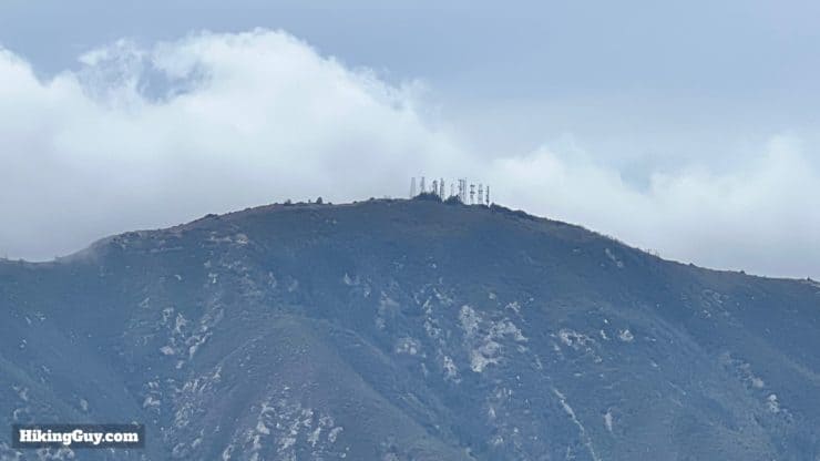
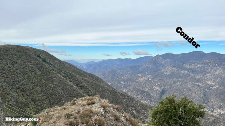
- If you look east from Hoyt Mountain, up the valley where Angeles Crest Highway is, you're looking at the San Gabriel Fault, which moves about 3mm a year and used to be part of the San Andreas Fault.
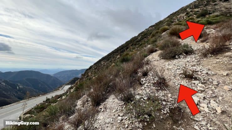
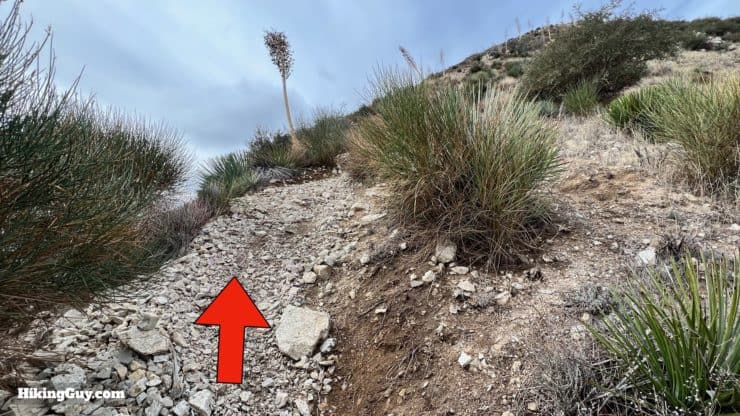
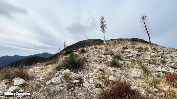
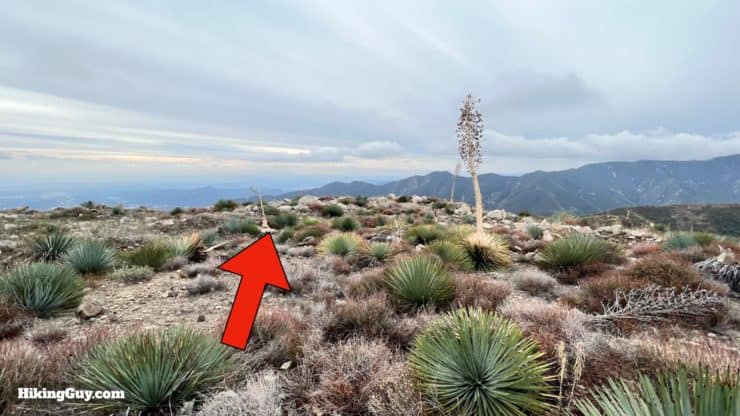
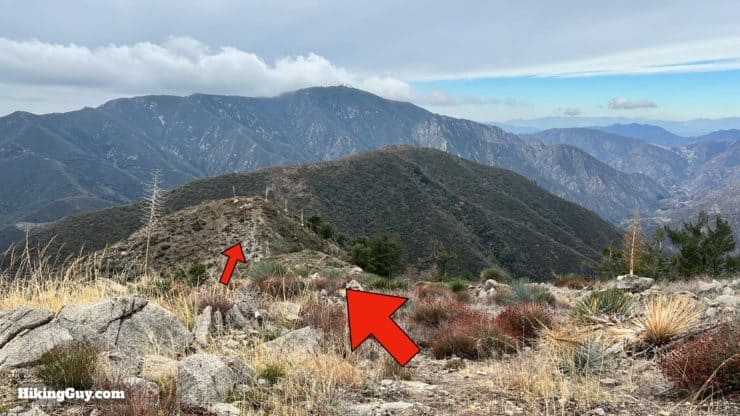
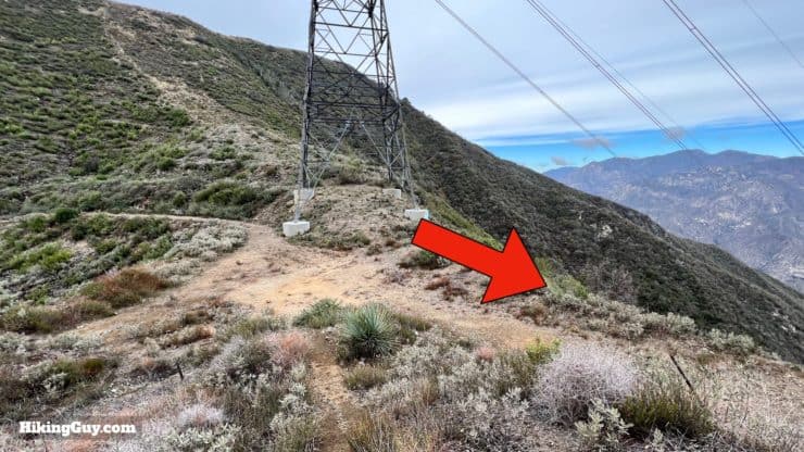
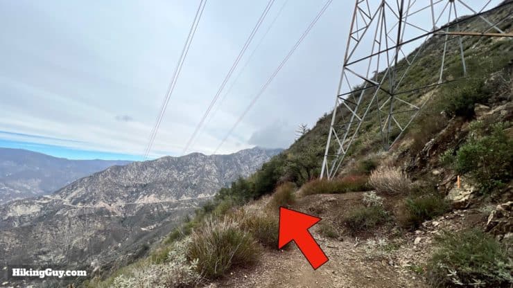
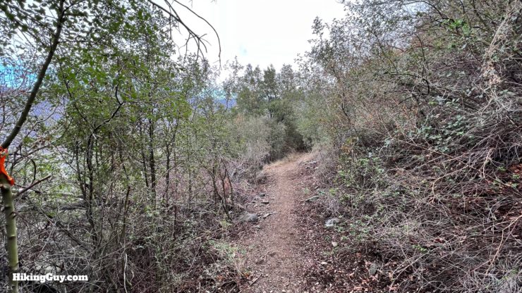
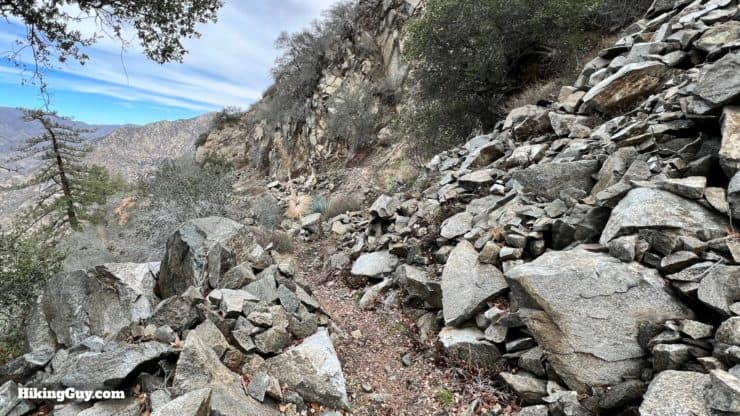
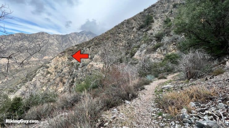
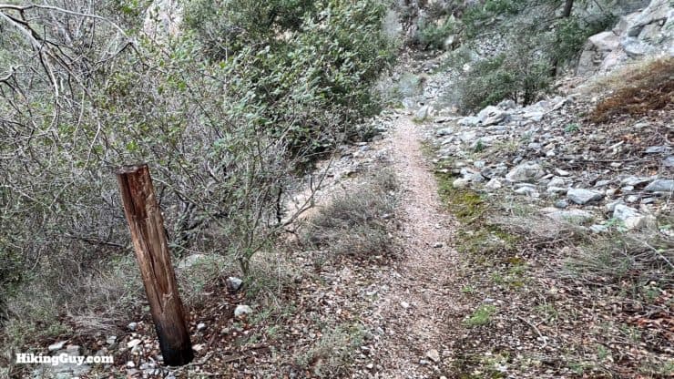
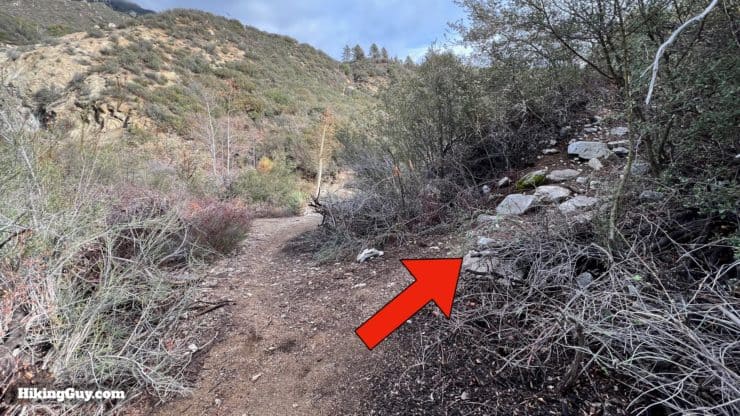
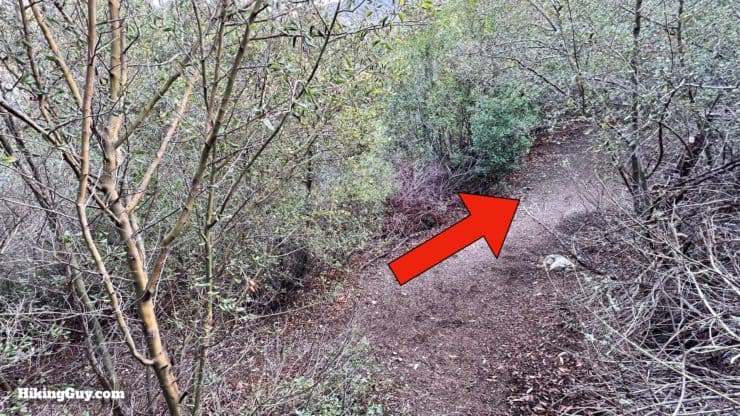
Hoyt Mountain Hike Directions
There's some reports of washed out sections from the winter storms of 2022/23. Users have reported that it's sketchy but doable on hands and knees. Maybe better to chose another hike.
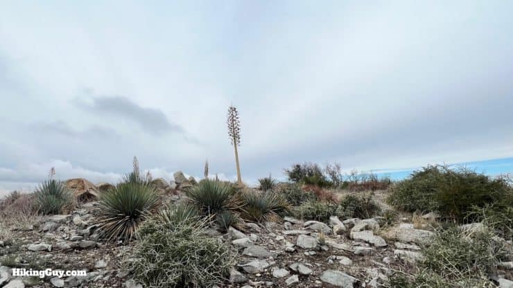
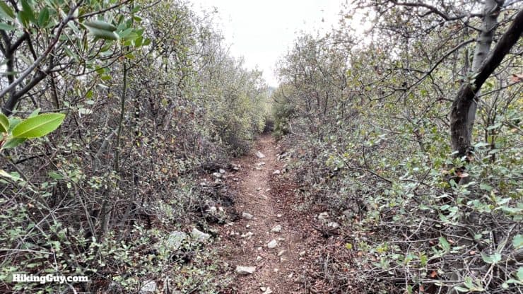
The definition of chaparral is "a thicket of dwarf evergreen oaks; broadly : a dense impenetrable thicket of shrubs or dwarf trees."
Need More Info?
- Have a question about the guide? Join my Patreon and ask me a question.
- When planning, always check the park website and social media to make sure the trails are open. Similarly, check the weather and road conditions.
- Do you have an update to this guide? View the Youtube comments for this video. Leave a comment and I will do my best to update the guide.
Related Guides
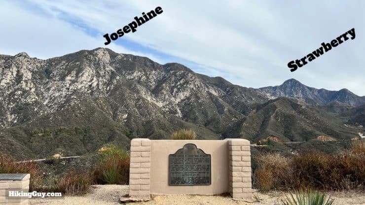
 Hike Josephine Peak From Colby Canyon
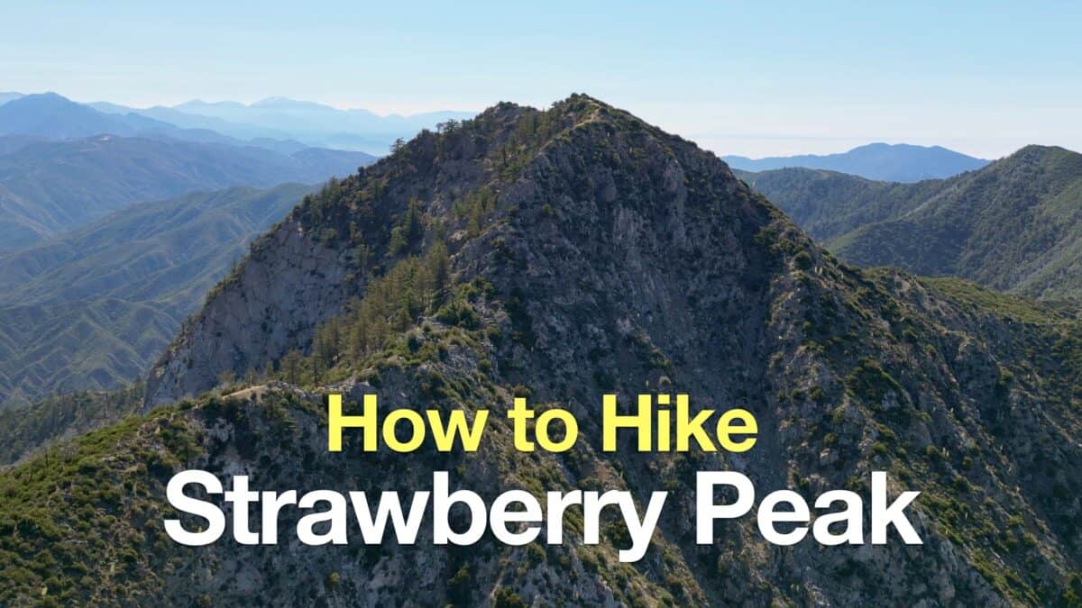 Strawberry Peak Hike
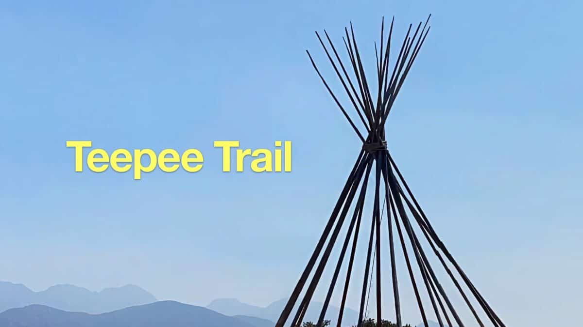 Hike the Teepee Trail (La Cañada Flintridge)
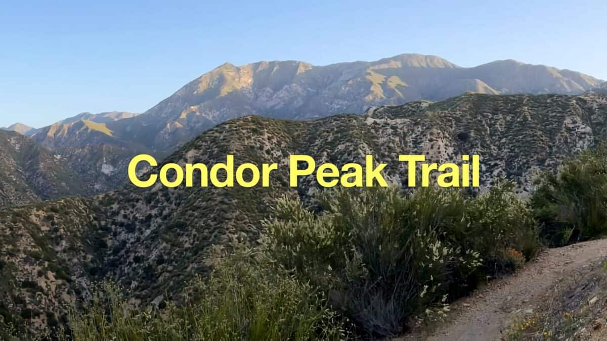 Condor Peak Trail
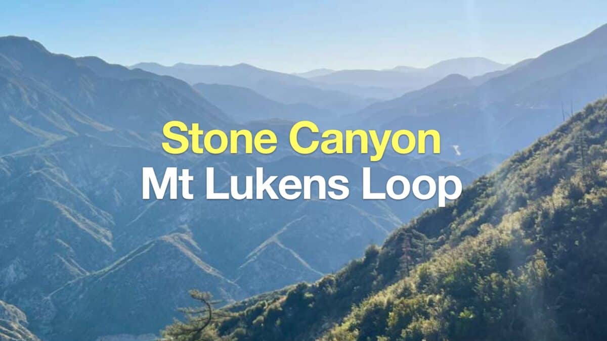 Stone Canyon Trail to Mt Lukens Loop
 Los Angeles Hikes
 Angeles National Forest Hikes
 LA Mountain Hikes
Popular Guides
 Best Hiking Gear 2024
 Hiking Boots or Shoes: Do I Really Need Hiking Boots?
 When to Hit SOS on inReach
This Guide Was Written by Cris Hazzard

Hi, I'm Cris Hazzard, aka Hiking Guy, a professional outdoors guide, hiking expert, and author based in Southern California. I created this website to share all the great hikes I do with everyone else out there. This site is different because it gives detailed directions that even the beginning hiker can follow. I also share what hiking gear works and doesn't so you don't waste money. I don't do sponsored or promoted content; I share only the gear recommendations, hikes, and tips that I would with my family and friends. If you like the website and YouTube channel, please support these free guides (I couldn't do it without folks like you!). You can stay up to date with my new guides by following me on YouTube, Instagram, or by subscribing to my monthly newsletter.