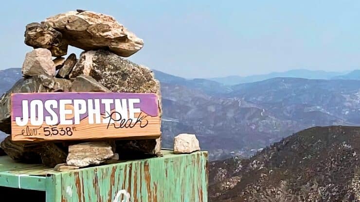

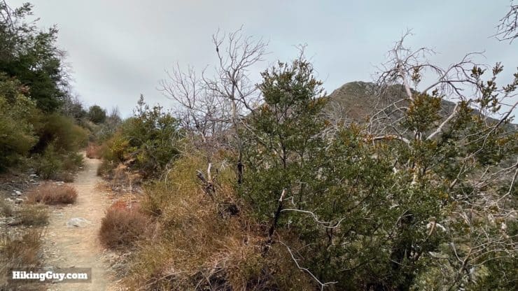
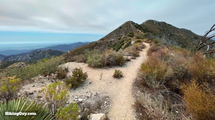
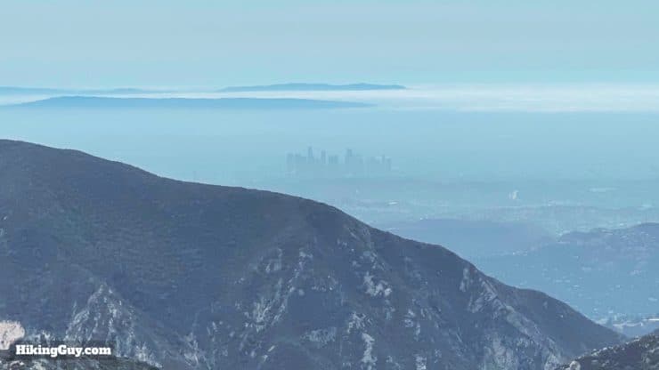
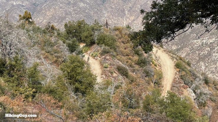
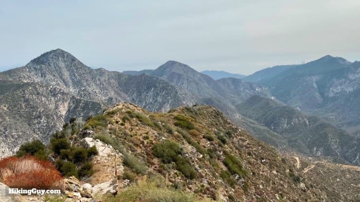
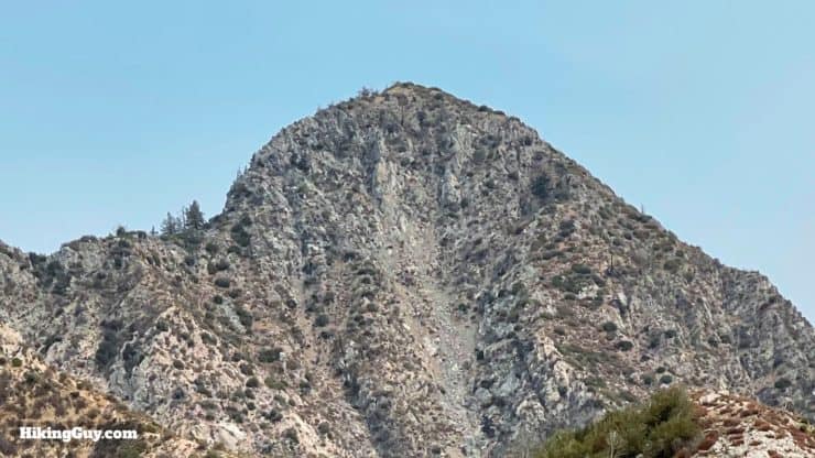
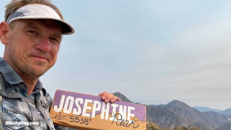
Standing prominently in the western San Gabriels, Josephine Peak offers a cool summit with sweeping views. There are a few ways to hike to the summit, and this guide covers my favorite route, which takes the (single track) Colby Canyon Trail (instead of the fire road). This is a great "off-the-beaten-path" hike where you never see crowds, making for a peaceful and pleasurable experience.
- Video and Turn-by-Turn Directions to Hike Josephine Peak
- The Best Trail to Hike Josephine Peak
- Parking, Maps, and Insider Tips
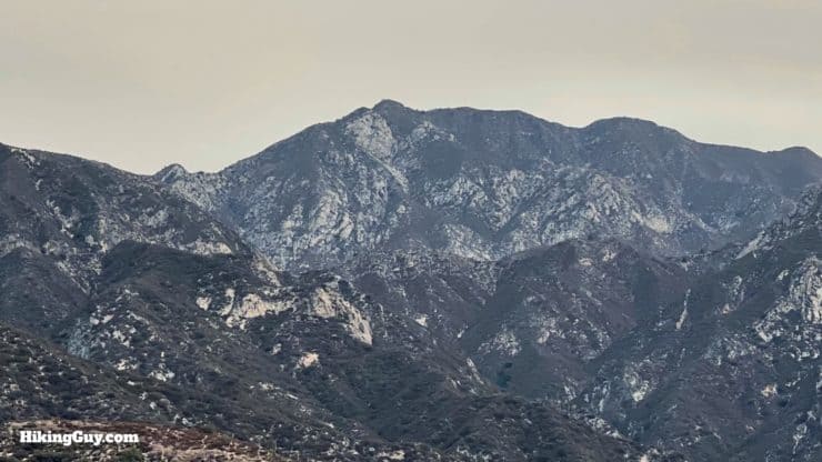
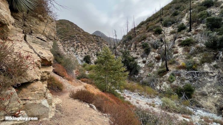
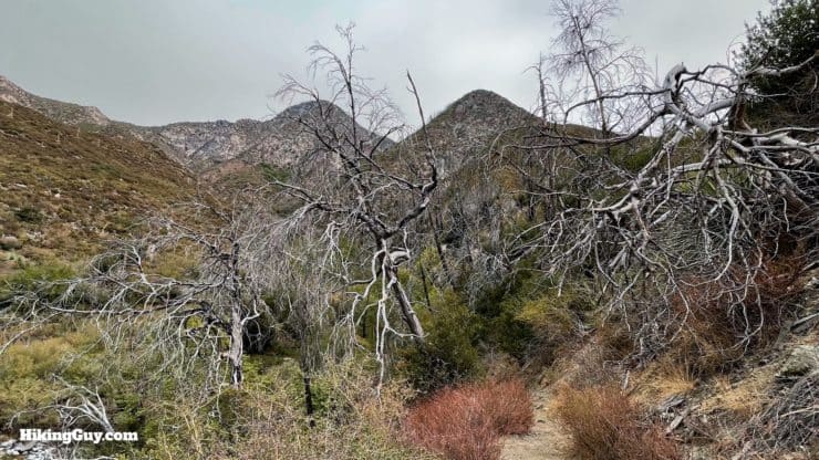
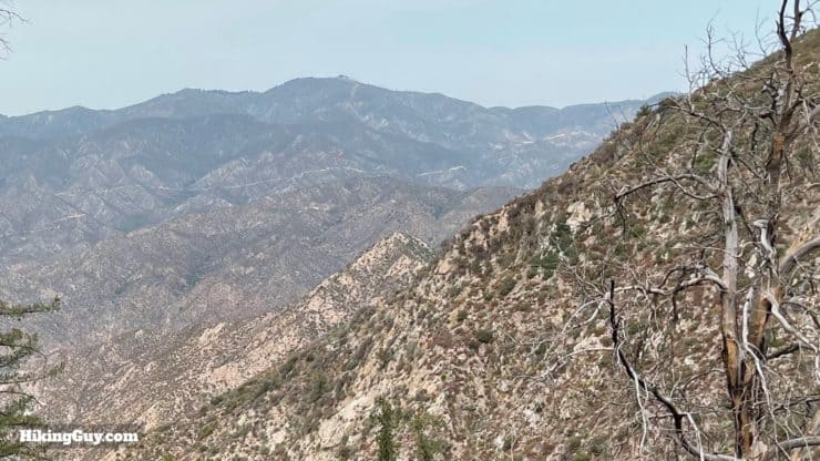
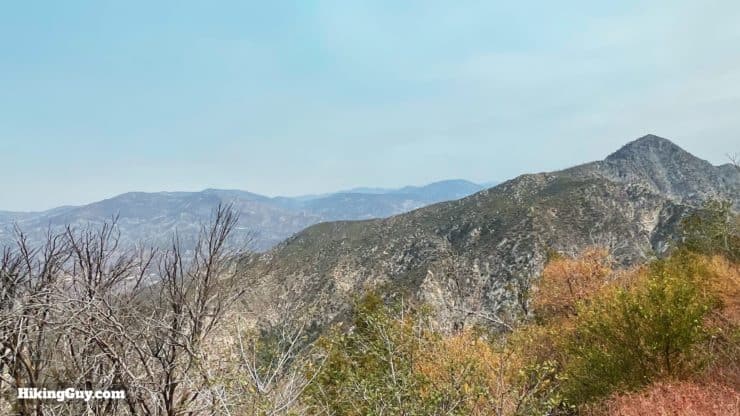
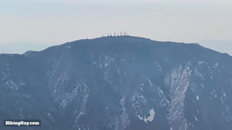
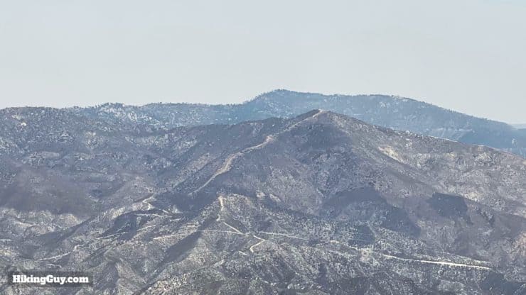
Note the yellowish tinge in the images of this guide. The air was covered in smoke from the 2021 KNP Complex in the Sequoia National Park, about 150 miles away.
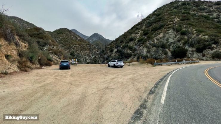
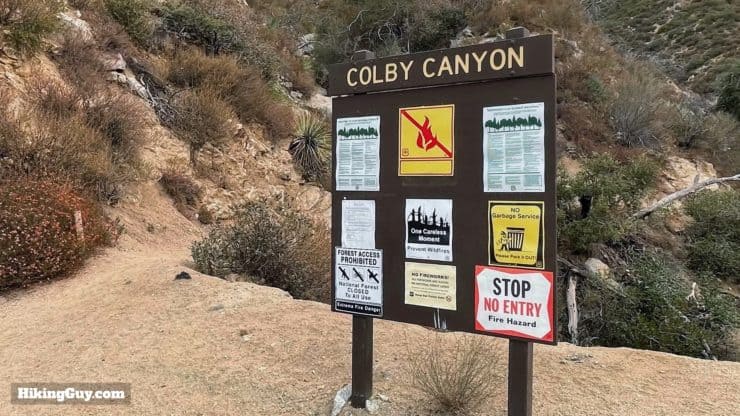
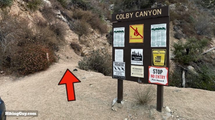
Where is the Colby Canyon Trailhead?
The trailhead is easy to spot, and is off Angeles Crest Highway, close to the Switzer Falls area. Use this trailhead address:
Colby Canyon Trail, 701 Angeles Crest Hwy, Tujunga, CA 91042
Gear For the Hike
This hike is mostly exposed, so make sure you bring sun protection and about 2L of water. In the winter there can be snow. And if you have trekking poles, I'd bring them for the climb and descent.
Gear That I Love Right Now
Nothing is sponsored or promoted, just the actual gear that I use.


Check out the complete list here. ( Updated July 2024)
Josephine Peak Trail Maps
How Will You Navigate?
 Using the Apple Watch for Hiking
 Garmin Fenix 7 & Epix Review For Hikers
 How To Read a Topographic Map
 Garmin GPSMAP 67i Review
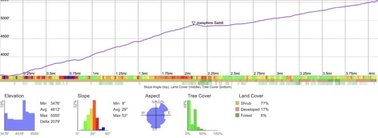
Elevation Profile
3D Map
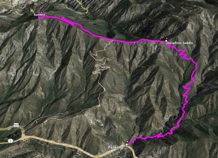
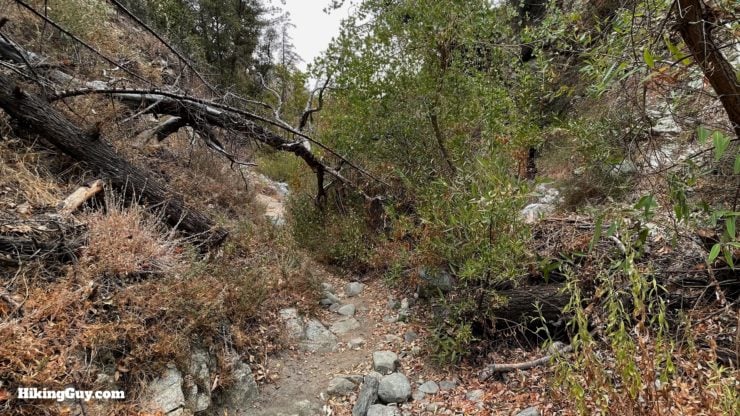
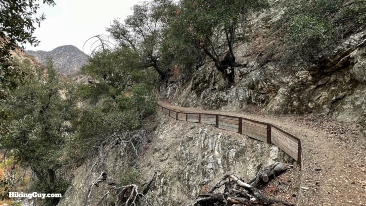
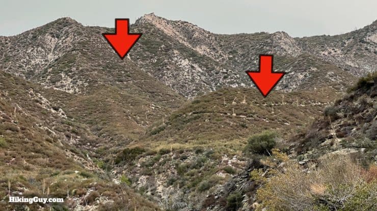
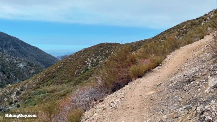
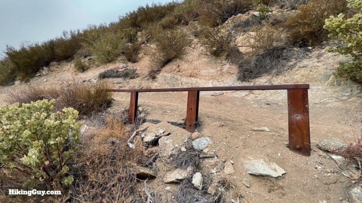
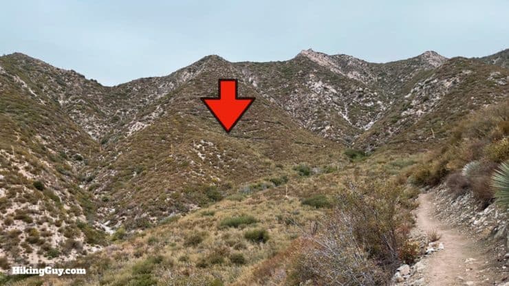
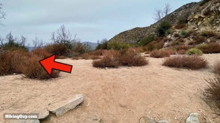
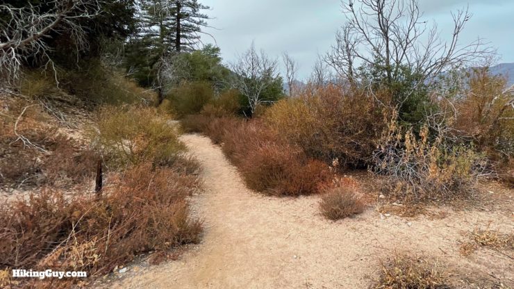
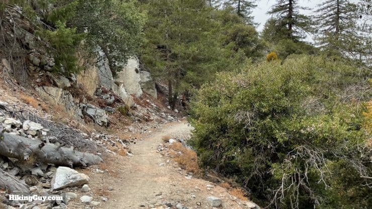
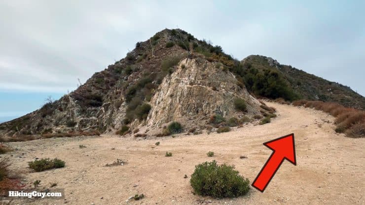
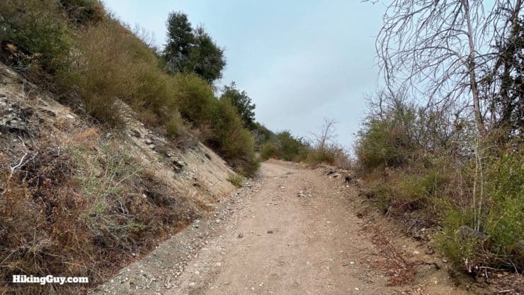
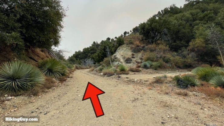
Josephine Peak Hike Directions
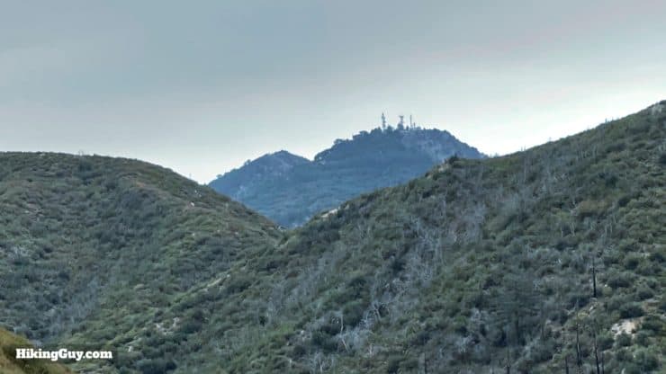
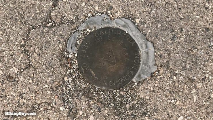
Who is Josephine Peak named after? It's Josephine Lippencott, the wife of USGS surveyor Joseph Barlow Lippencott, who used the peak as a triangulation station.
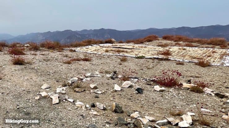
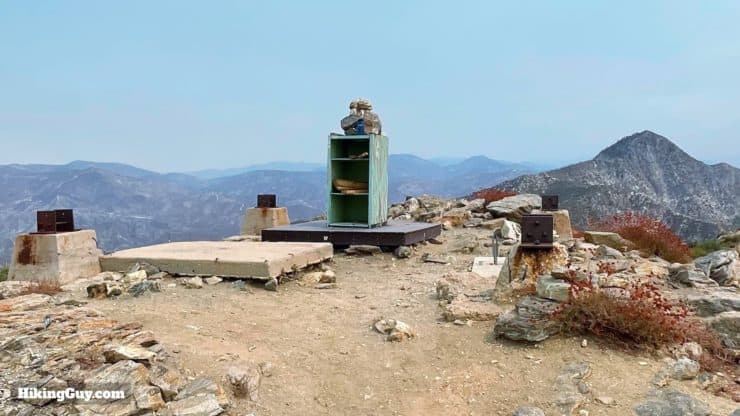
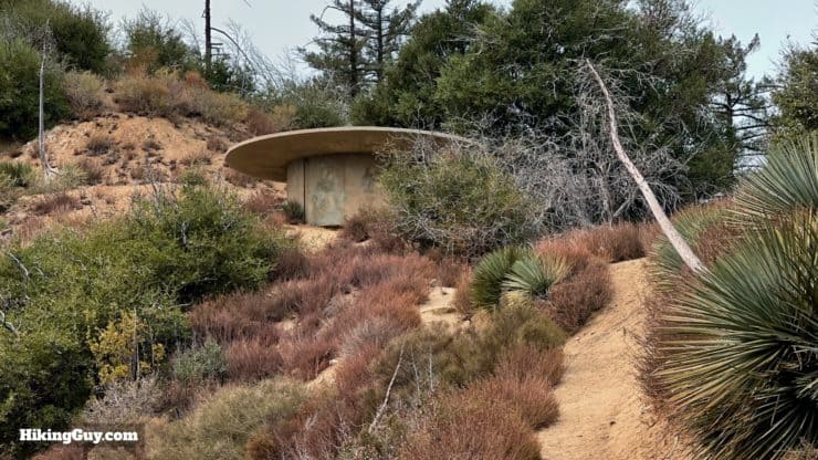
You'll notice the concrete blocks, which were once the base of a fire tower. The tower stood from 1938 to 1975 when it burned down in the Mill Fire. At that point many towers in Angeles NF were being dismantled and abandoned anyway because the smog was so bad.
Need More Info?
- Have a question about the guide? Join my Patreon and ask me a question.
- When planning, always check the park website and social media to make sure the trails are open. Similarly, check the weather and road conditions.
- Do you have an update to this guide? View the Youtube comments for this video. Leave a comment and I will do my best to update the guide.
Related Guides
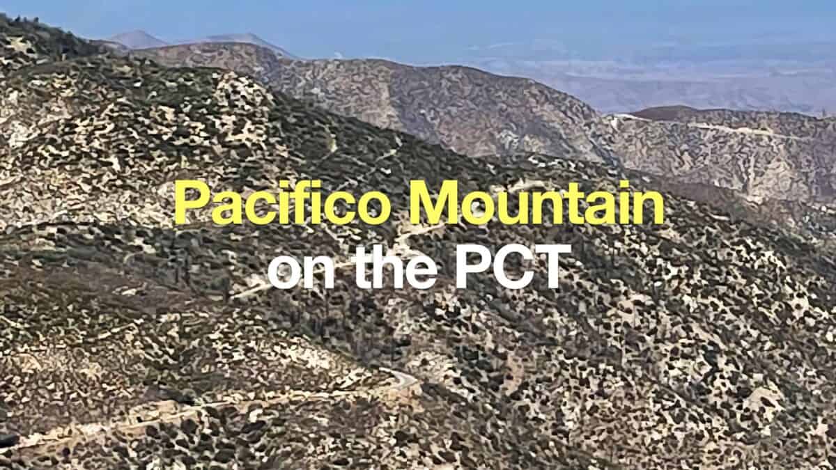 Hike Pacifico Mountain on the PCT
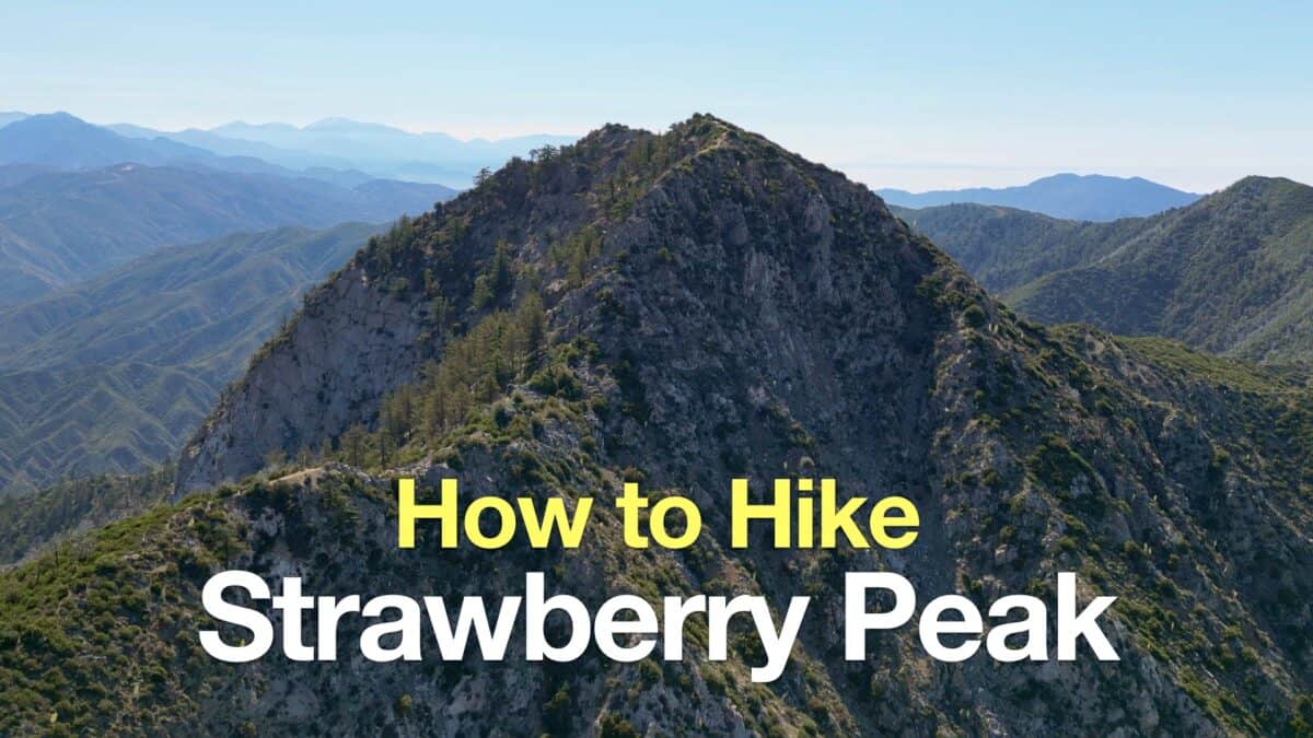 Strawberry Peak Hike
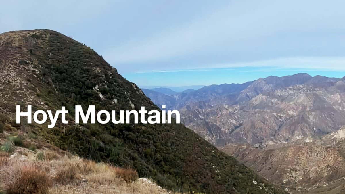 Hoyt Mountain Hike
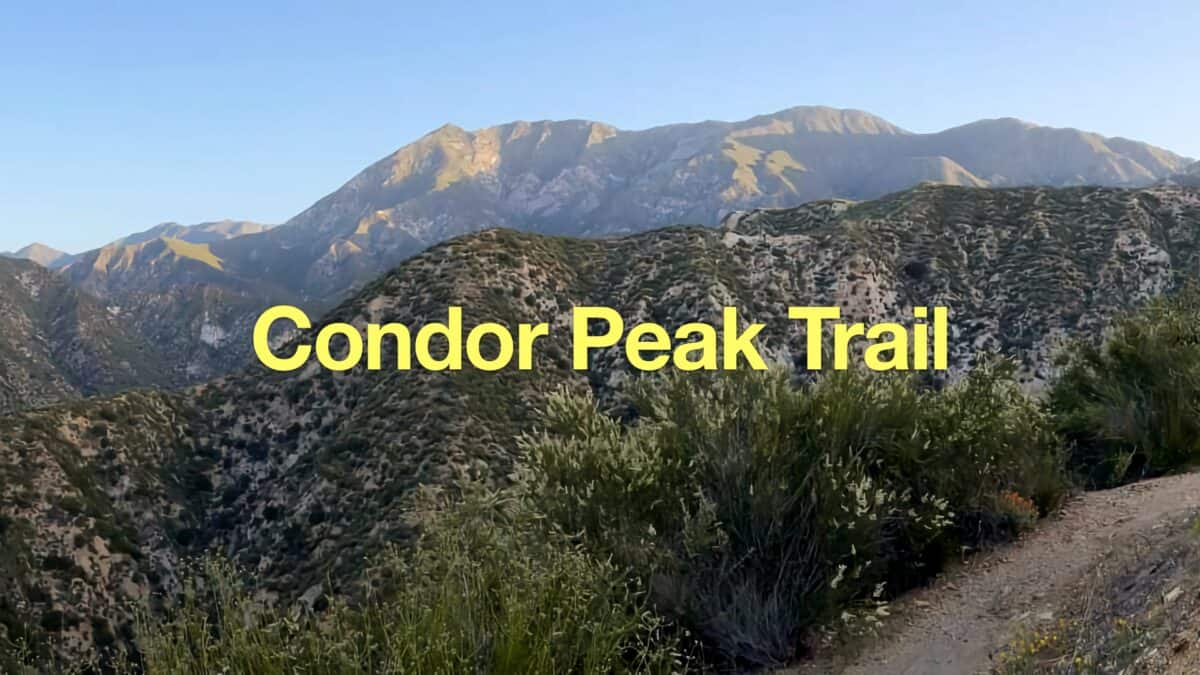 Condor Peak Trail
 Los Angeles Hikes
 Angeles National Forest Hikes
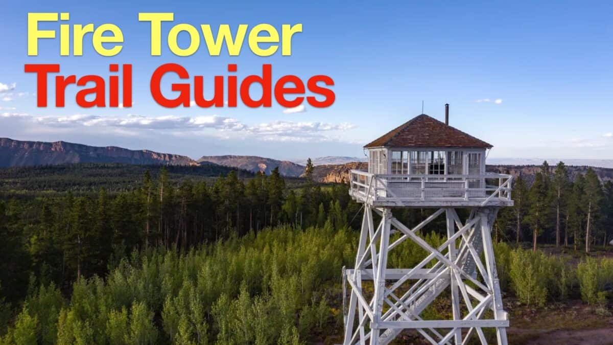 Fire Tower Hikes
 LA Mountain Hikes
 San Gabriel Mountains National Monument Hiking
 Sierra Club 100 Peaks
Popular Guides
 Best Hiking Gear 2024
 Hiking Boots or Shoes: Do I Really Need Hiking Boots?
 When to Hit SOS on inReach
This Guide Was Written by Cris Hazzard

Hi, I'm Cris Hazzard, aka Hiking Guy, a professional outdoors guide, hiking expert, and author based in Southern California. I created this website to share all the great hikes I do with everyone else out there. This site is different because it gives detailed directions that even the beginning hiker can follow. I also share what hiking gear works and doesn't so you don't waste money. I don't do sponsored or promoted content; I share only the gear recommendations, hikes, and tips that I would with my family and friends. If you like the website and YouTube channel, please support these free guides (I couldn't do it without folks like you!). You can stay up to date with my new guides by following me on YouTube, Instagram, or by subscribing to my monthly newsletter.