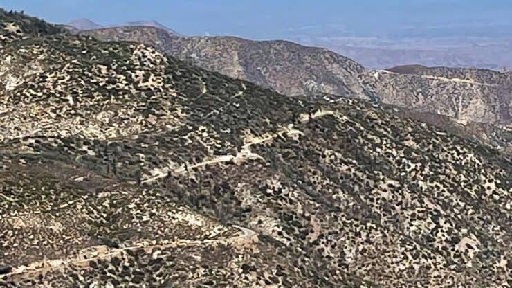

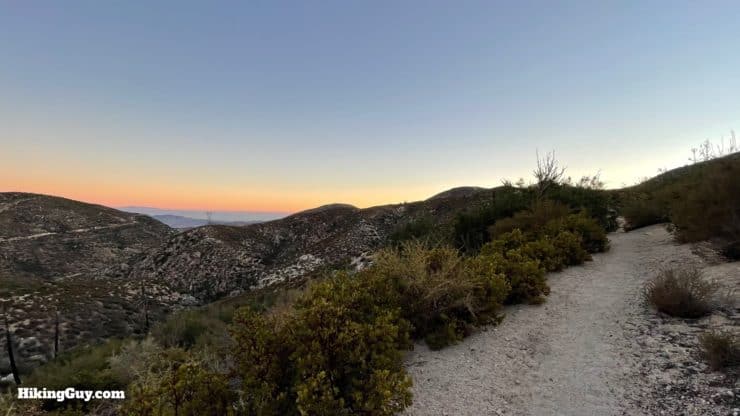
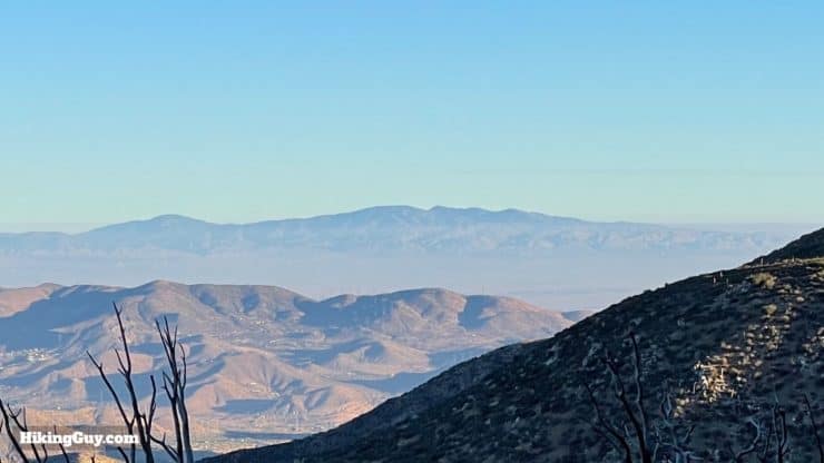
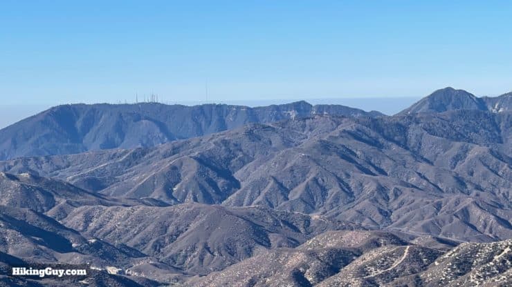
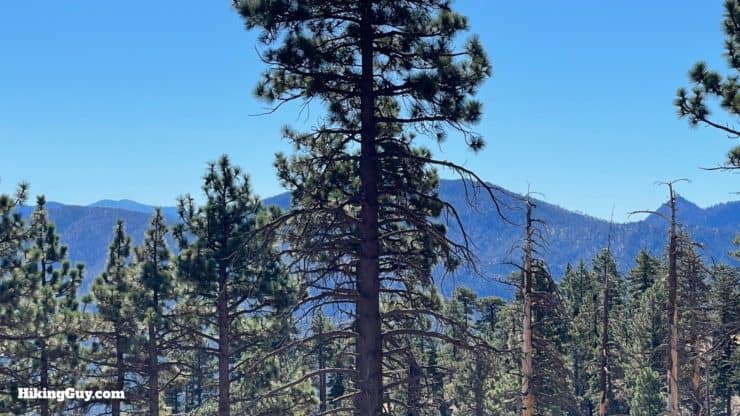
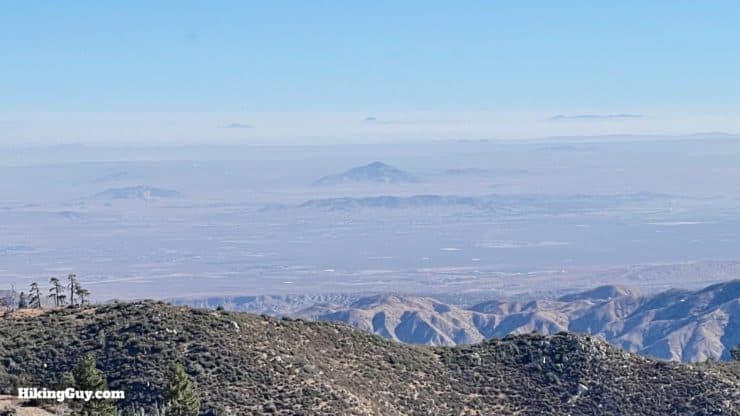
If you want to get off the beaten path in Angeles National Forest, head over to the Pacifico Mountain hike. Pacifico Mountain, the highest peak in the northwestern part of the forest, offers unique views spanning from Mt Baldy to Los Padres National Forest to Nevada. There are several approaches to the summit of Pacifico Mountain, and we'll take what I think is the most scenic one up the Pacific Crest Trail (PCT). It's a great hike without big crowds.
- Video and Turn-by-Turn Directions to Hike Pacifico Mountain on the PCT
- Parking and Fees for the Hike
- Camping on Pacifico Mountain
- Insider Tips and Recommendations
Where is Pacifico Mountain?
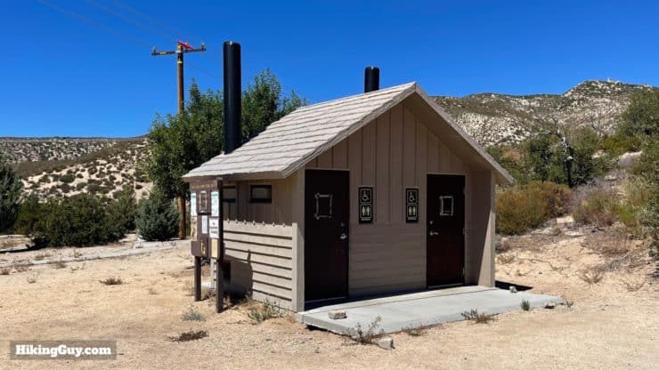
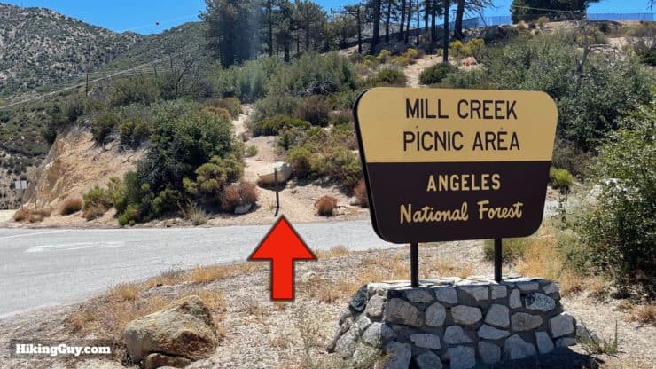
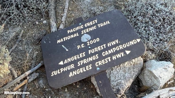
We'll start this hike at the Mill Creek Summit Picnic Area, off of the Angeles Forest Highway (N3), a popular commuting route between the desert and LA. Use this trailhead address:
Mill Creek Summit Picnic Area, Angeles Forest Hwy, Palmdale, CA 93550
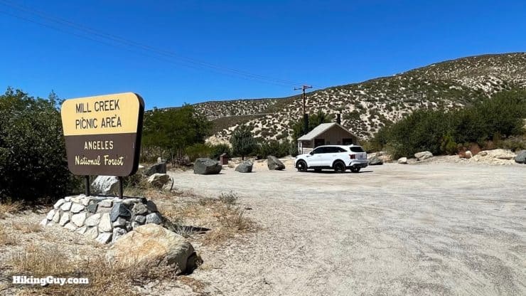
You need a National Parks pass or Adventure Pass to park here.
Gear For the Hike
- This is a proper backcountry hike, so use your hiking gear and have the essentials.
- There's no water and little shade, and the hike can get hot. I bring at least 3L. The climate feels more like the desert than a forest.
- There aren't steep climbs on this trail, and it's easy to hike without trekking poles if you want to leave them at home.
Gear That I Love Right Now
Nothing is sponsored or promoted, just the actual gear that I use.


Check out the complete list here. ( Updated October 2024)
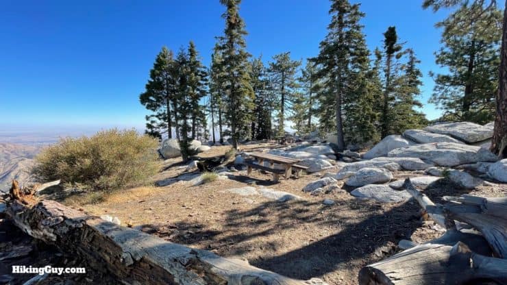
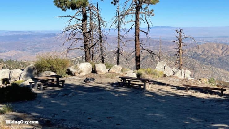
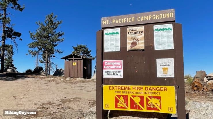
Camping Options
This hike offers some great short overnight camping options. It's especially great if you want to camp after work and get back in the morning, as the distances aren't long, and the climbing isn't bad. You can even drive your car to the summit (I'd recommend high-clearance AWD) and just camp.
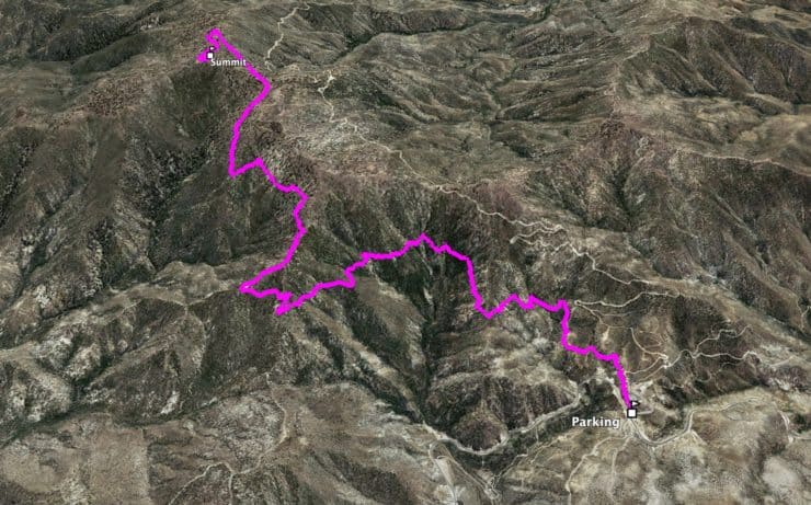
Pacifico Mountain Trail Maps
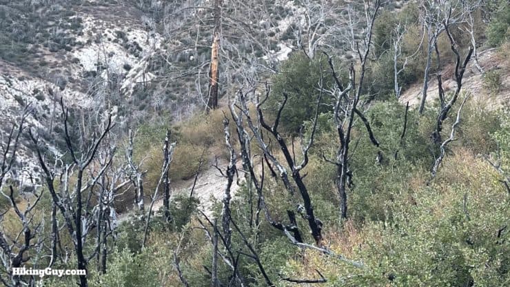
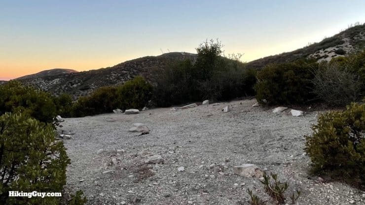
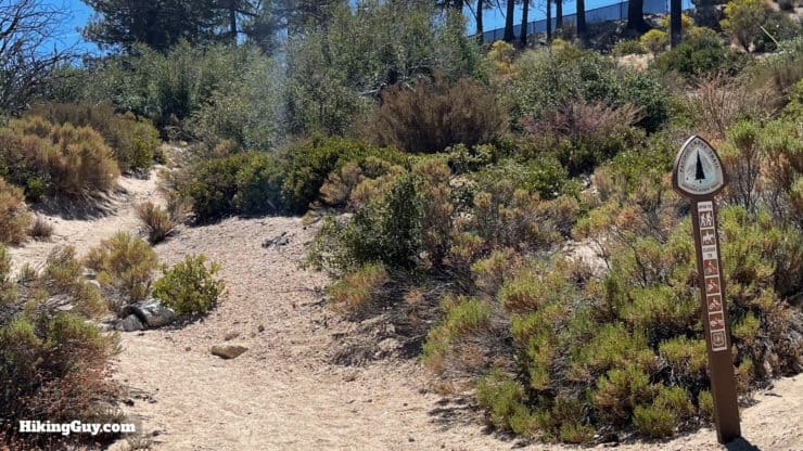
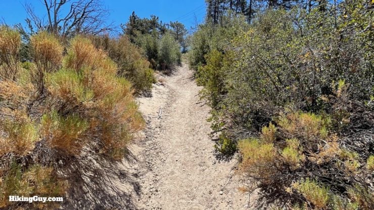
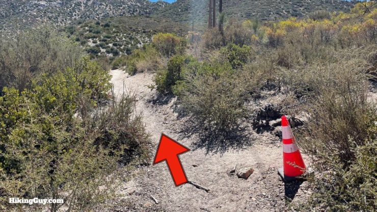
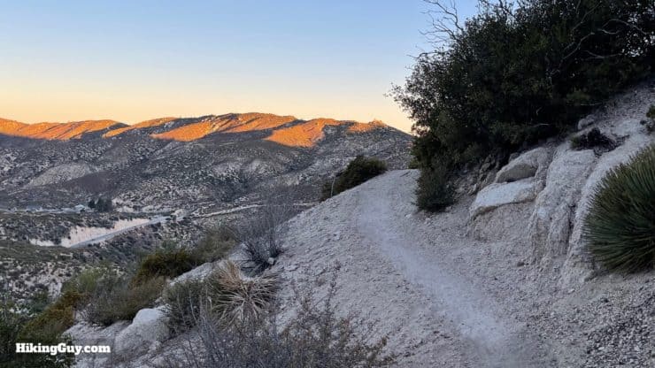
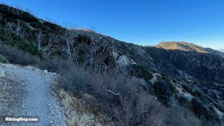
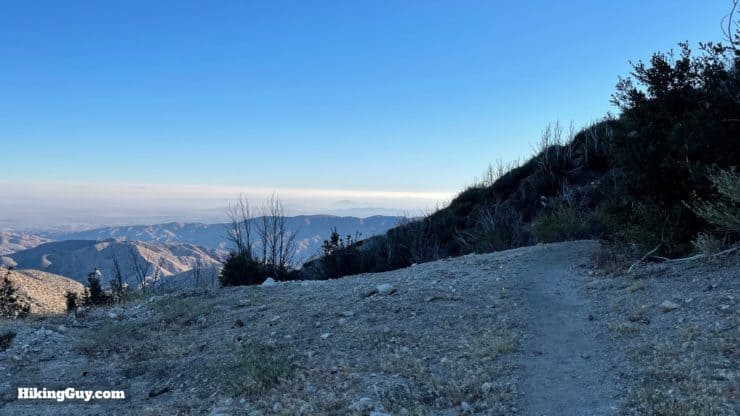
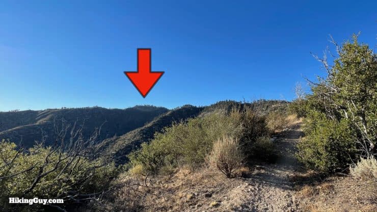
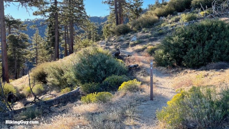
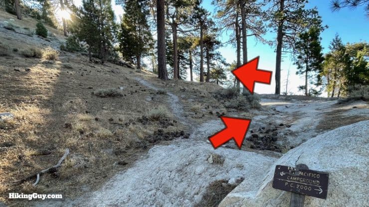
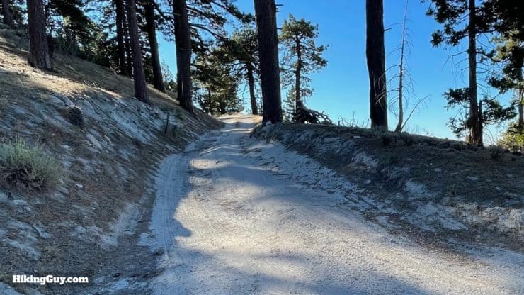
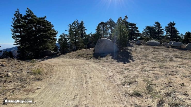
We will take the PCT from Mill Creek up to a saddle, and then do the last mile on a dirt road (with great views). There aren't a lot of twists and turns, and overall the gradient is gentle.
How Will You Navigate?
 Using the Apple Watch for Hiking
 Garmin Fenix 7 & Epix Review For Hikers
 How To Read a Topographic Map
 Garmin GPSMAP 67i Review
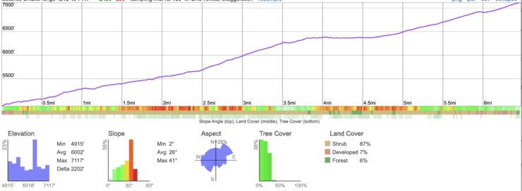
Elevation Profile
3D Map
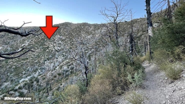
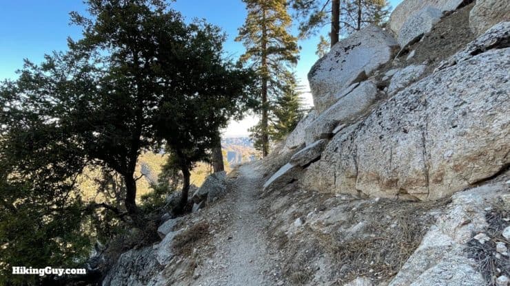
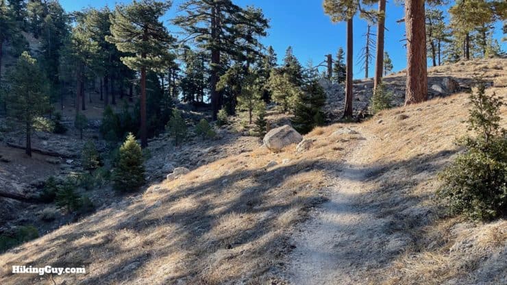
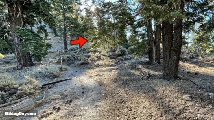
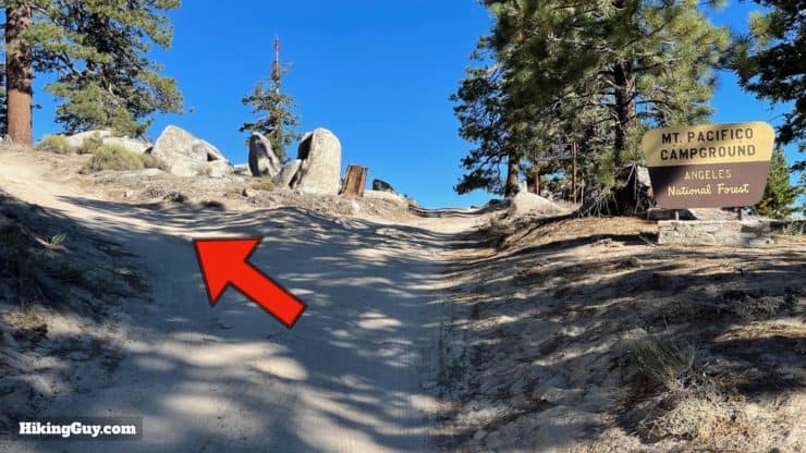
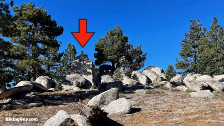
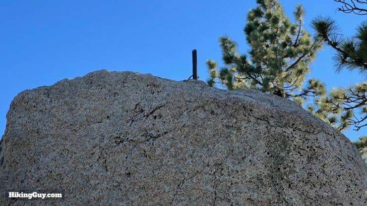
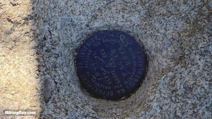
Pacifico Mountain Hike Directions
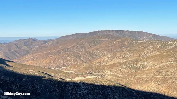
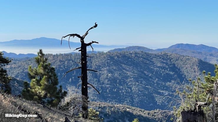
Pacifico, which means peaceful, accurately describes the vibe up here. Some people think the peak is named Pacifico because you can sometimes see the ocean from here. Others speculate it was named by the bandit that the Zorro stories were based on, Tiburcio Vásquez, who had a hideout nearby at Sheep Springs.

You can also make this a loop by taking the road back down, but I find the hike on the PCT to be much nicer.
Need More Info?
- Have a question about the guide? Join my Patreon and ask me a question.
- When planning, always check the park website and social media to make sure the trails are open. Similarly, check the weather and road conditions.
- Do you have an update to this guide? View the Youtube comments for this video. Leave a comment and I will do my best to update the guide.
Related Guides
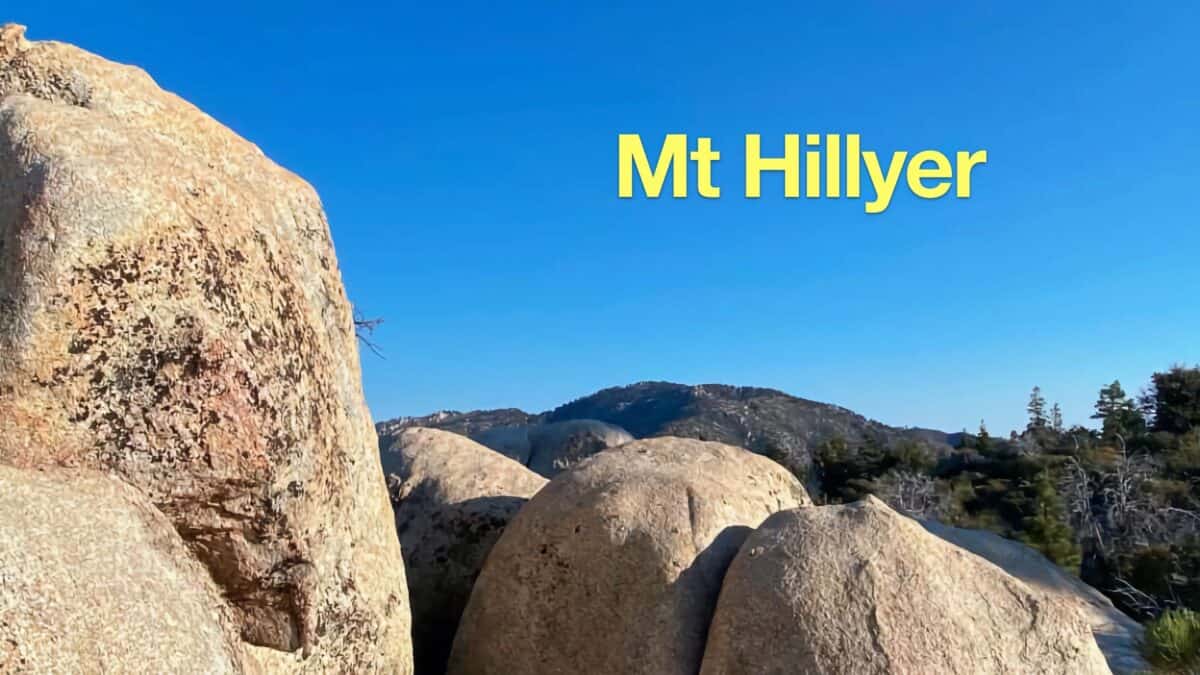 Mt Hillyer Trail Hike
 Strawberry Peak Hike
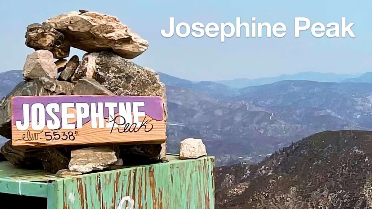 Hike Josephine Peak From Colby Canyon
 Los Angeles Hikes
 Angeles National Forest Hikes
 Backpacking Trips
 LA Mountain Hikes
 San Gabriel Mountains National Monument Hiking
 Sierra Club 100 Peaks
Popular Guides
 Best Hiking Gear 2024
 Hiking Boots or Shoes: Do I Really Need Hiking Boots?
 When to Hit SOS on inReach
This Guide Was Written by Cris Hazzard

Hi, I'm Cris Hazzard, aka Hiking Guy, a professional outdoors guide, hiking expert, and author based in Southern California. I created this website to share all the great hikes I do with everyone else out there. This site is different because it gives detailed directions that even the beginning hiker can follow. I also share what hiking gear works and doesn't so you don't waste money. I don't do sponsored or promoted content; I share only the gear recommendations, hikes, and tips that I would with my family and friends. If you like the website and YouTube channel, please support these free guides (I couldn't do it without folks like you!). You can stay up to date with my new guides by following me on YouTube, Instagram, or by subscribing to my monthly newsletter.