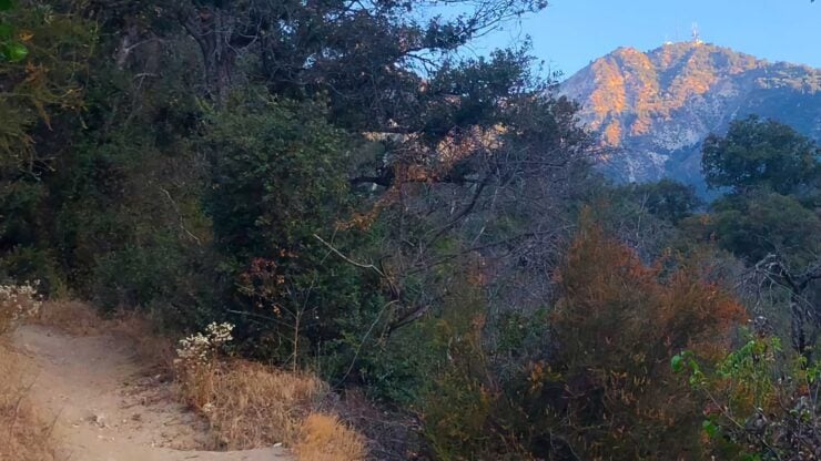

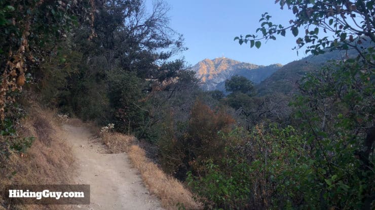
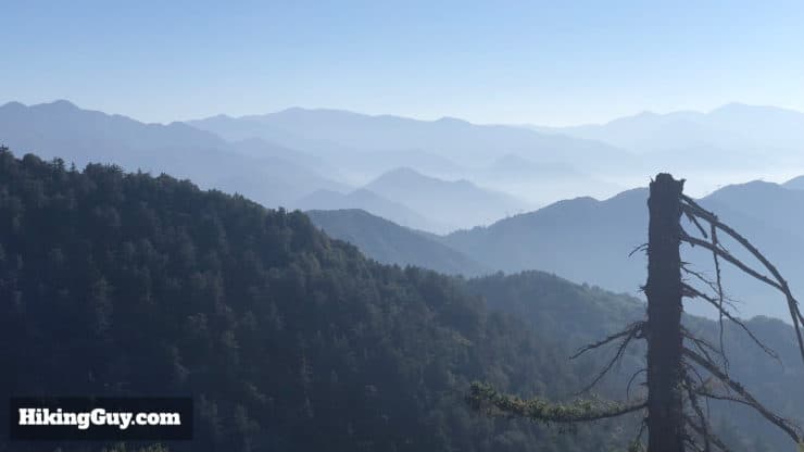
The Mt Wilson Trail is the oldest route to the summit to Mt Wilson. Unlike the popular route to Mt Wilson from Chantry Flat, the Mt Wilson Trail is mellow and lacks the crowds and kids looking for the waterfall. The Mt Wilson Trail offers beautiful views as it ascends the side of Little Santa Anita Canyon, and being the oldest trail, offers some historical landmarks as well. If you've only hiked Mt Wilson from Chantry Flat, I highly recommend giving this route a try too.
- Turn by Turn Hike Directions & Hike Video
- Mt Wilson Trail Maps
- Parking for the Mt Wilson Trail
- Getting Ready for the Hike
How to Get to the Mt Wilson Trail
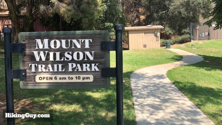
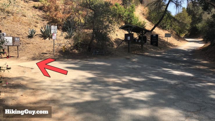
Getting to the trailhead is relatively easy. You park on the street (for free) around Mt Wilson Trail Park and walk a few minutes up the street to the actual trailhead. The address to use is:
Mt Wilson Trail Park, 189 E Mira Monte Ave, Sierra Madre, CA 91024
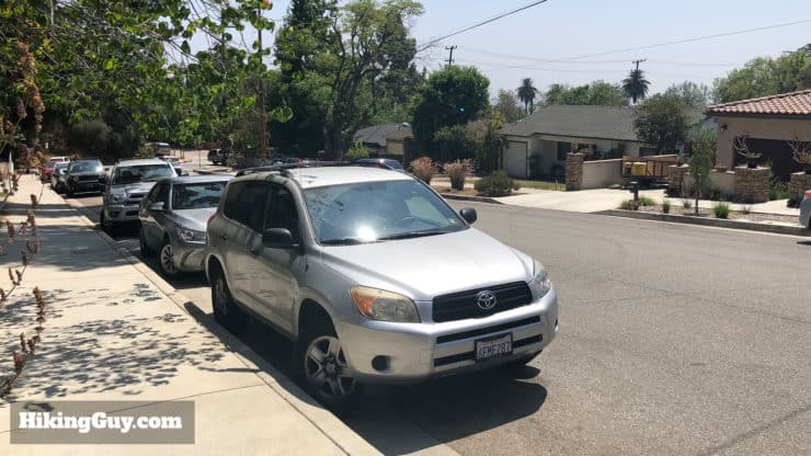
The neighborhood is residential so please be respectful of neighbors, especially if you're leaving in the early hours of the morning. There are bathrooms in the park but are sometimes locked; try to go before you arrive. There are bathrooms at the summit though.
Gear For the Hike
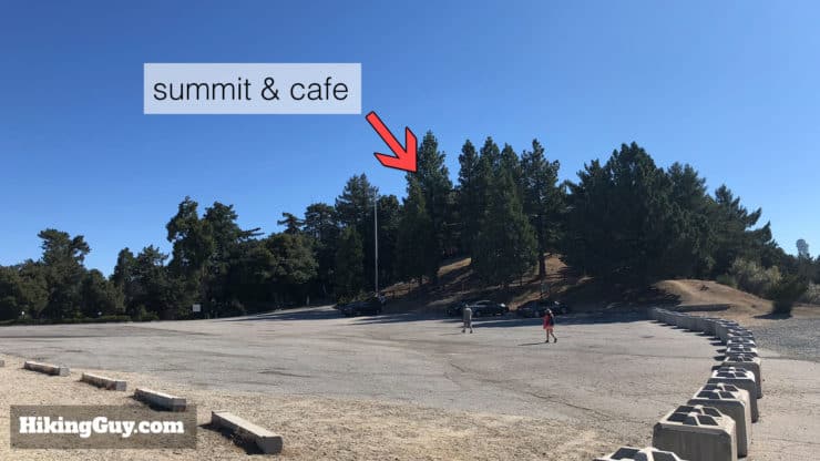
This is a tough, long hike and you need proper hiking gear. Bring 3L of water, snacks, and proper navigation gear. When you get to the summit you can refill your water bottles and grab a bite at the Cosmic Cafe (check the hours, open seasonally). Sometimes there can be bugs, bring some bug spray just in case.
Gear That I Love Right Now
Nothing is sponsored or promoted, just the actual gear that I use.


Check out the complete list here. ( Updated October 2024)
Mt Wilson Trail Maps
How Will You Navigate?
 Using the Apple Watch for Hiking
 Garmin Fenix 7 & Epix Review For Hikers
 How To Read a Topographic Map
 Garmin GPSMAP 67i Review
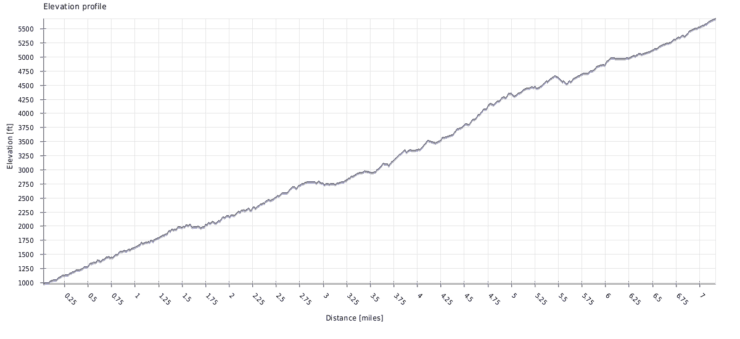
Mt Wilson Trail Elevation Profiles
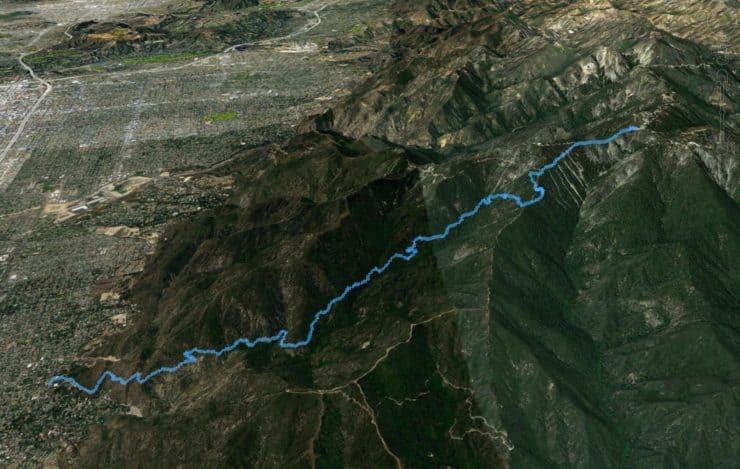
Mt Wilson Trail History
- Mt Wilson is named after General Patton's grandfather, Benjamin Davis Wilson, a local big-wig in the 1800s and one-time mayor of LA. He owned the land around here and went to the summit in search of timber.
- The path he took to the summit followed the Native American Tongya's path to the summit, which happens to be the same route as the Mt Wilson Trail.
- The first telescope at the summit observatory was brought up this trail in 1889.
- The Mt Wilson Trail became a favorite hike for tourists, leading to the development attractions along the route.
- First Water (see directions below) was a popular picnic spot and water refill station from the 1890s on.
- A short distance up from First Water was a small general store called Quarter-Way House, built in 1888, and burned down in 1945. (If anyone can find ruins, please send me a picture with the location).
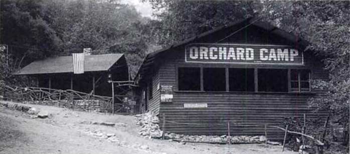
- Orchard Camp, which you can see the ruins of on the hike, was a resort from the 1890s to the 1930s. In 1911 at the height of its popularity, 40,000 visitors signed the camp register. It was destroyed in the 1938 floods.
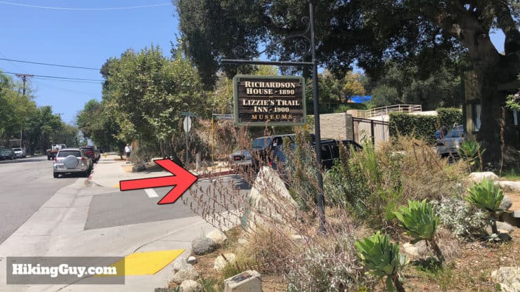
- Lizzie's Trail Inn, at the trailhead, served as a place where hikers could eat and get supplies. Today it's a museum.
- The electric streetcar line was extended to Sierra Madre in 1906, allowing lots of folks to hike the Mt Wilson Trail before cars were a thing.
- It remained popular until the 1950s, when it became so degraded that in 1953 a sign that said "unsafe to travel" was posted.
- In the 1960s volunteers started to restore the trail and continue to do so today, funded by donations to the Sierra Madre Community Foundation.
There's a really great write-up on the history of the trail here if you want to dive deeper.
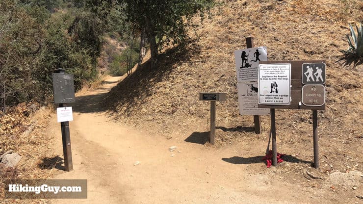
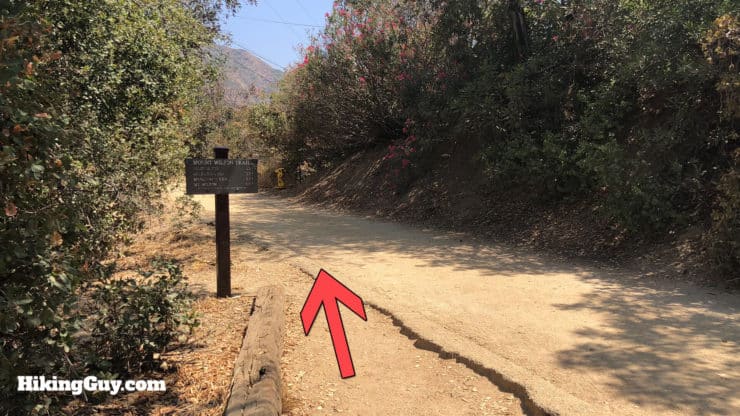
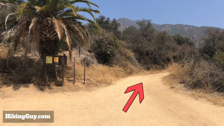
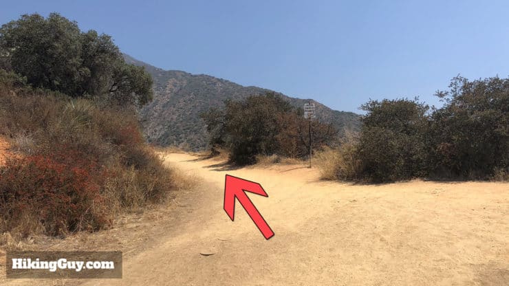
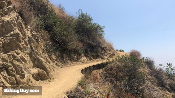
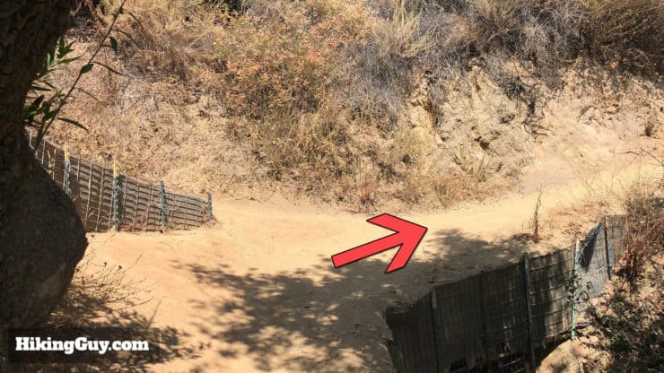
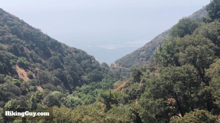
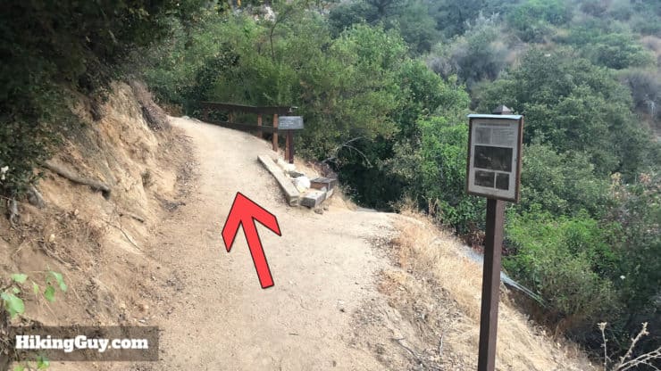
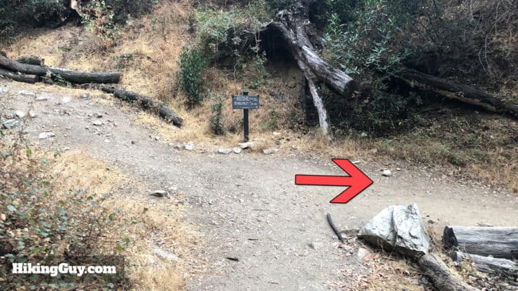
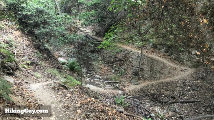
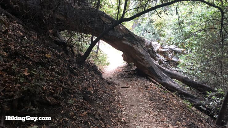
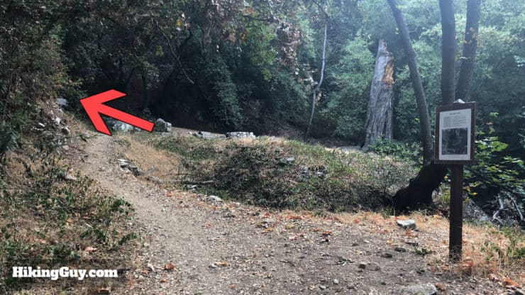
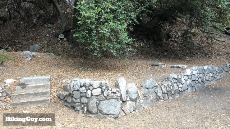
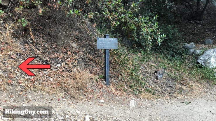
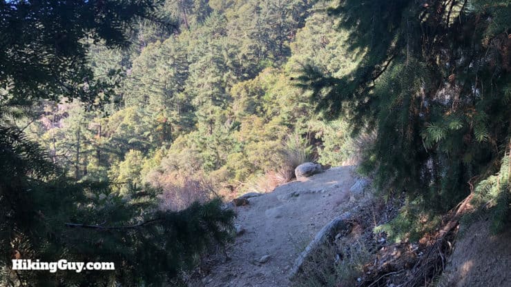
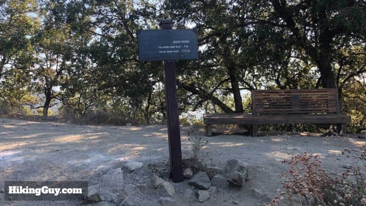
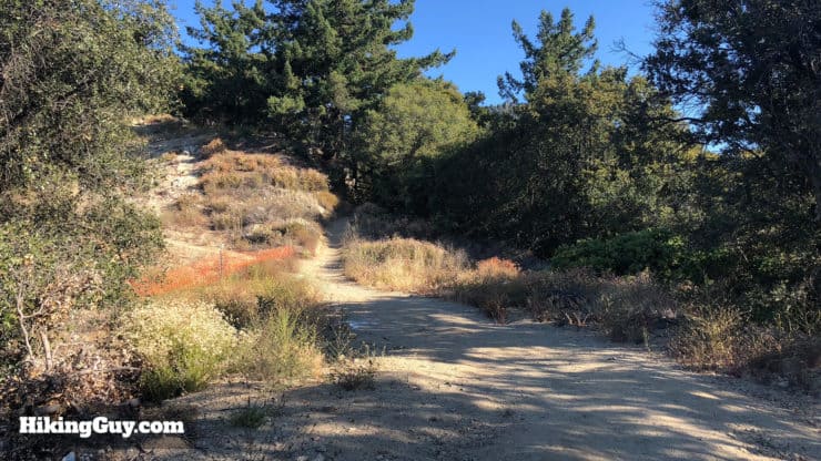
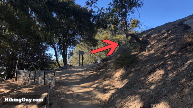
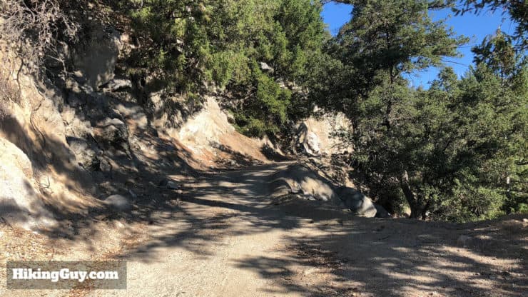
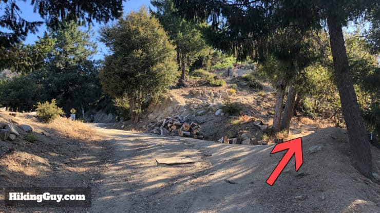
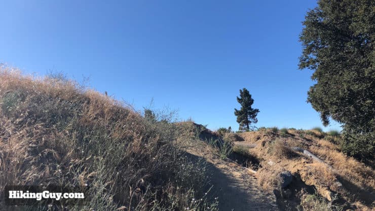
Mt Wilson Trail Hike Directions
Need More Info?
- Have a question about the guide? Join my Patreon and ask me a question.
- When planning, always check the park website and social media to make sure the trails are open. Similarly, check the weather and road conditions.
- Do you have an update to this guide? View the Youtube comments for this video. Leave a comment and I will do my best to update the guide.
Related Guides
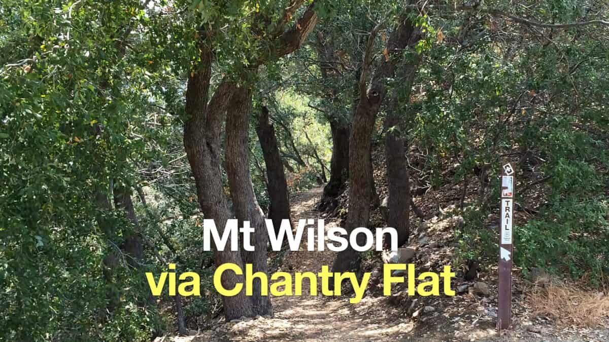 Mt Wilson Hike From Chantry Flat
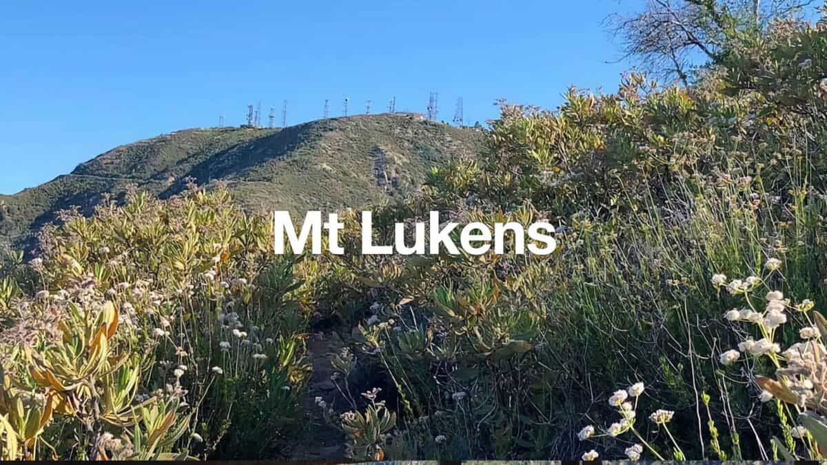 Hike Mt Lukens From Deukmejian Wilderness Park
 Hike Mt Waterman & Twin Peaks
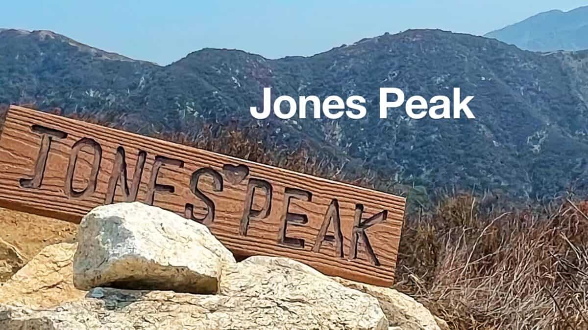 Hike Jones Peak on the Bailey Canyon Trail
 Los Angeles Hikes
 Angeles National Forest Hikes
 LA Mountain Hikes
 San Gabriel Mountains National Monument Hiking
 Sierra Club 100 Peaks
Popular Guides
 Best Hiking Gear 2024
 Hiking Boots or Shoes: Do I Really Need Hiking Boots?
 When to Hit SOS on inReach
This Guide Was Written by Cris Hazzard

Hi, I'm Cris Hazzard, aka Hiking Guy, a professional outdoors guide, hiking expert, and author based in Southern California. I created this website to share all the great hikes I do with everyone else out there. This site is different because it gives detailed directions that even the beginning hiker can follow. I also share what hiking gear works and doesn't so you don't waste money. I don't do sponsored or promoted content; I share only the gear recommendations, hikes, and tips that I would with my family and friends. If you like the website and YouTube channel, please support these free guides (I couldn't do it without folks like you!). You can stay up to date with my new guides by following me on YouTube, Instagram, or by subscribing to my monthly newsletter.