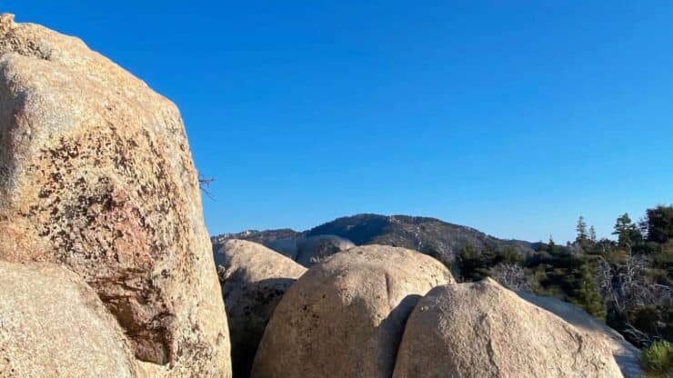

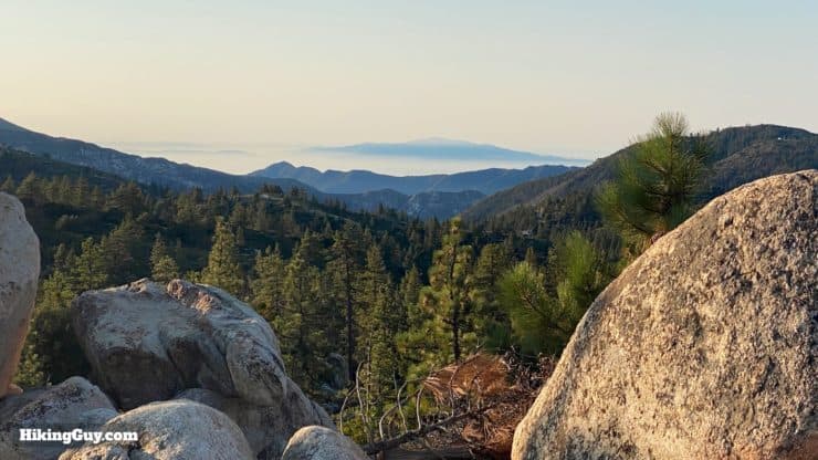
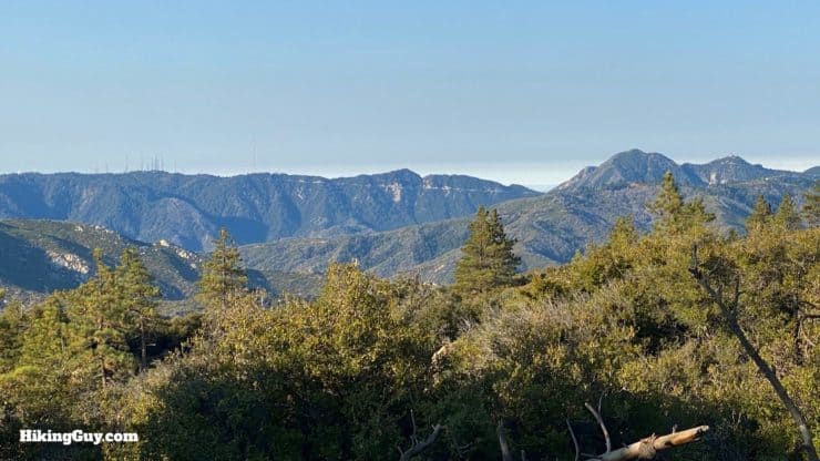
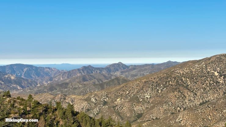
The Mt Hillyer Trail hike takes you on a mellow summit loop through a little-hiked area of Angeles National Forest. The climb isn't tough, the distance isn't extreme, and that's part of why it's great. You'll hike through the old stomping ground of 1860s horse bandits, complete with a hidden pasture and boulder hideout. And at the summit of Mt Hillyer, you're rewarded with sweeping views of the eastern San Gabriels. Oh, and there are two different summits with two different views. So you got that going for you, which is nice.
- Video and Turn by Turn Hike Directions
- Which Mt Hillyer Trailhead to Use
- Gear Recommendations and Tips for the Hike
Getting to the Trailhead
The Mt Hillyer hike trailhead can be confusing; other guides have a variety of starting points. This guide follows one of the more traditional routes for the hike, and you don't have to worry about washed out roads or high-clearance vehicles. As long as Angeles Crest Highway is open, you should be able to get here.
There's not a good physical address for the trailhead, so follow these instructions instead.
Use this address:
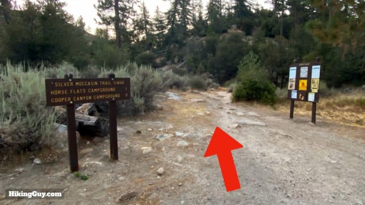
Chilao Visitor Center, 1 Moccasin Trail, Palmdale, CA 93550
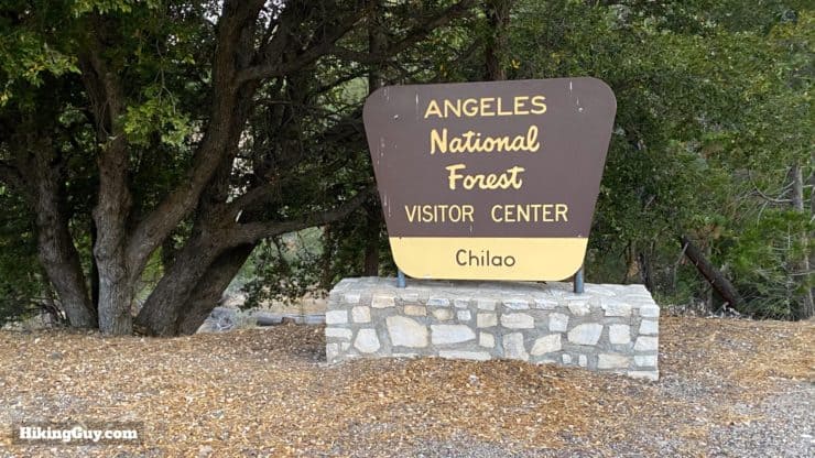
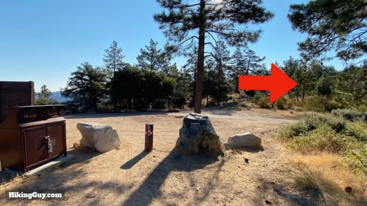
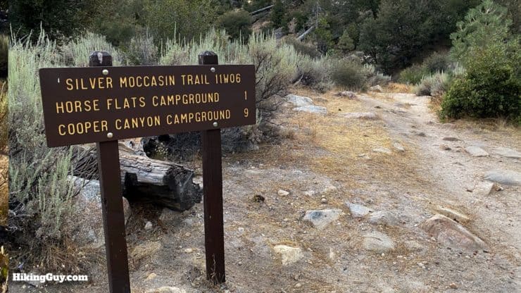
Instead of going to the visitor center, drive straight through until you reach the Silver Moccasin Trail parking area, which intersects the road.
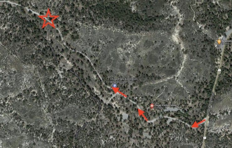
Here is the Google Maps latitude and longitude map link for the parking area.
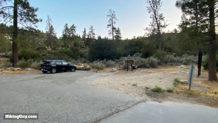
You need to display your Parks Pass or Adventure Pass to park here.
Gear For the Hike
Overall the hike is fairly exposed, so you should use sun protection and bring at least 1L of water (I bring 2L). And bugs can be around; plan accordingly.
Gear That I Love Right Now
Nothing is sponsored or promoted, just the actual gear that I use.


Check out the complete list here. ( Updated October 2024)
Mt Hillyer Trail Maps
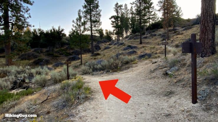
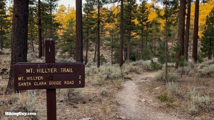
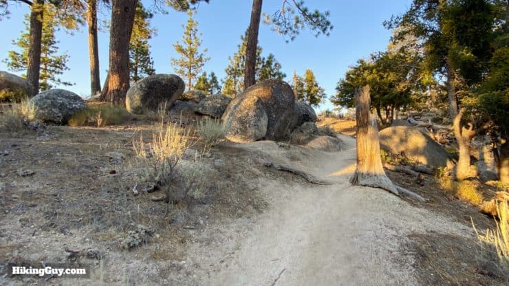
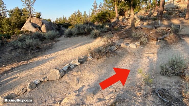
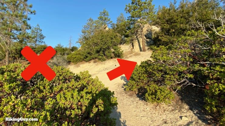
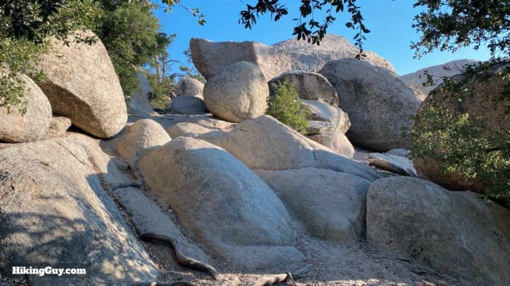
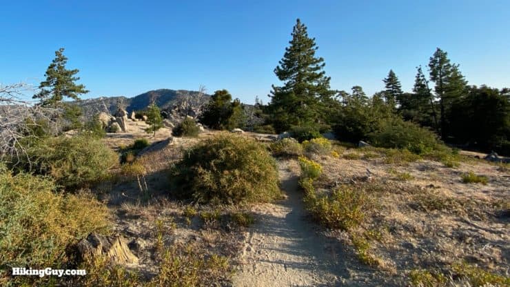
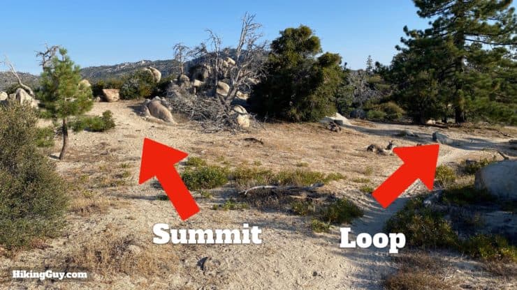
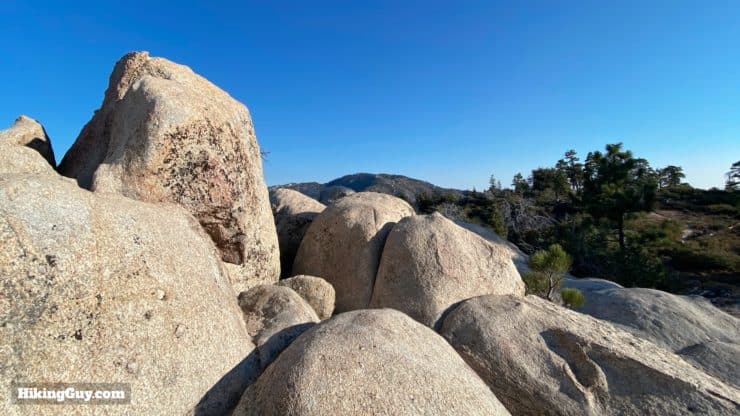
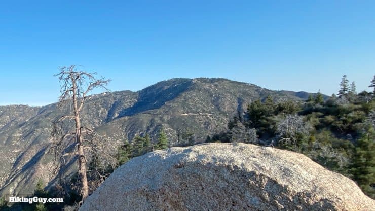
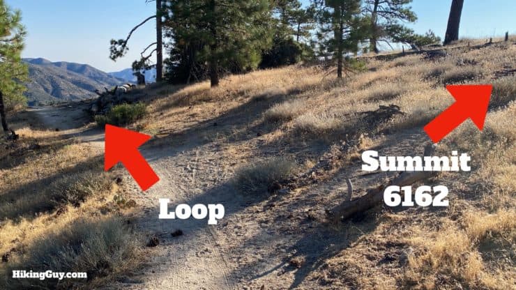
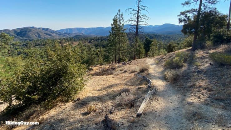
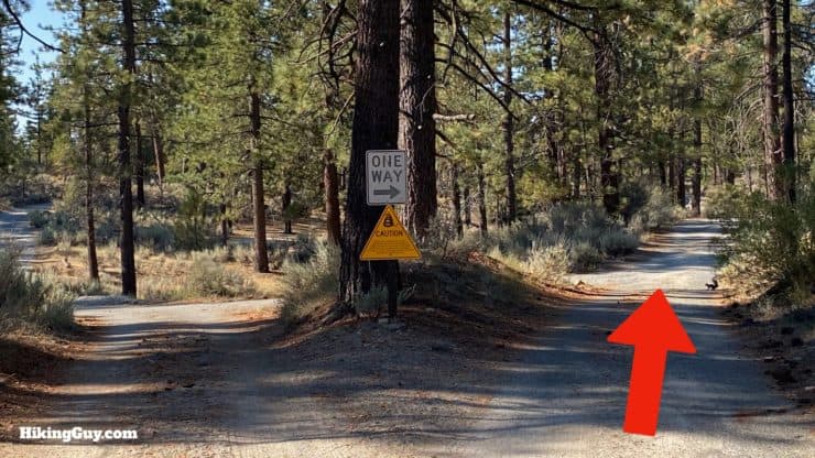
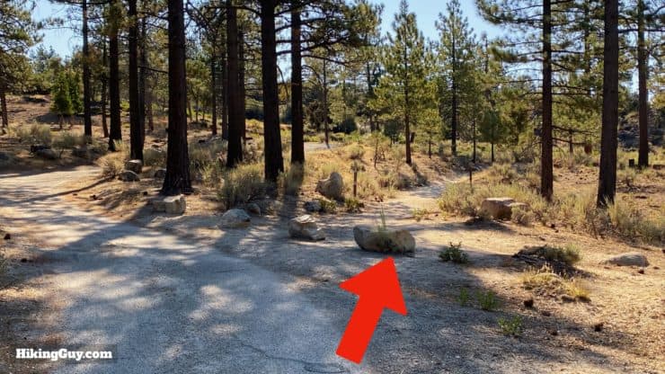
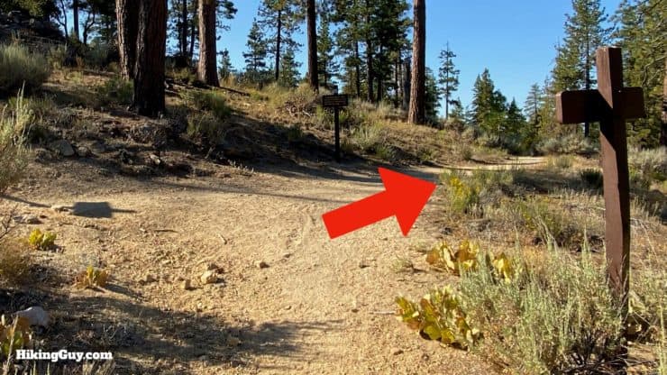
The trails are generally well marked and easy to follow. The climb through the boulders can be tricky; there are many small use trails to bouldering spots. I'll tell you what to look out for in the directions that follow.
Some GPX tracks and apps out there have this loop going in the opposite direction as I do. I find this (traditional) clockwise direction to be more enjoyable; it avoids doing the main ascent on a paved road. And if you want to avoid the pavement altogether, just hike to the second peak, turn around, and go back the way you came.
How Will You Navigate?
 Using the Apple Watch for Hiking
 Garmin Fenix 7 & Epix Review For Hikers
 How To Read a Topographic Map
 Garmin GPSMAP 67i Review
Where is the Real Summit?
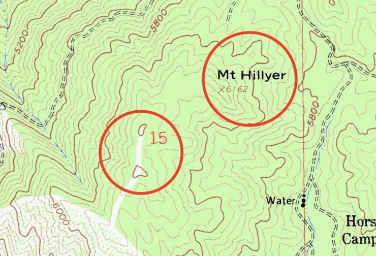
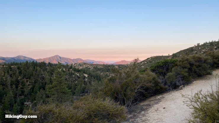
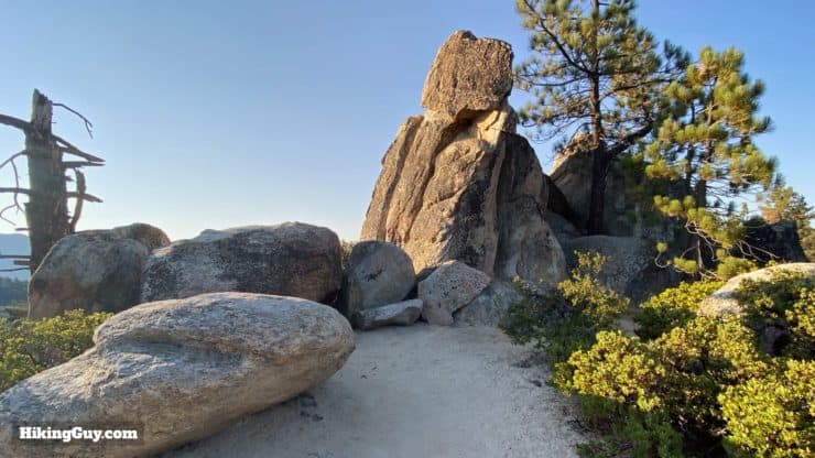
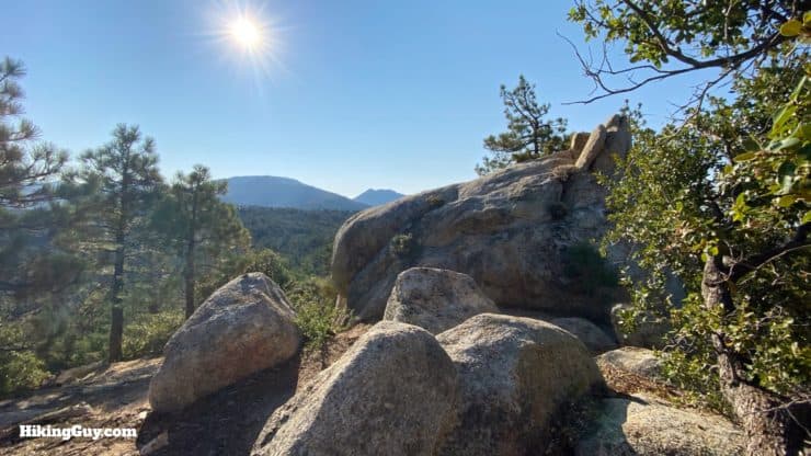
Once you dive into the map, you might notice that the official summit marked by the USGS is not the highest point, which is the higher ridgeline to the southwest (6200 ft). The Sierra Club has been using the higher 6,200 point as the summit since 1946. In this guide I'll take you to both spots; each summit offers unique views and is worth a visit.
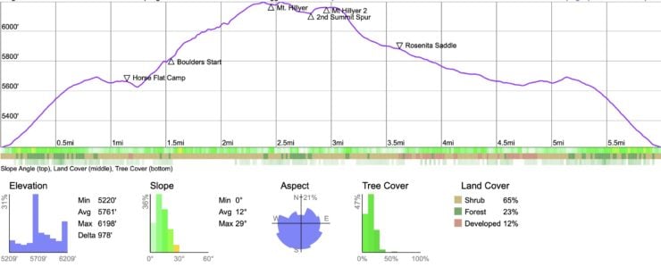
Elevation Profile
3D Map
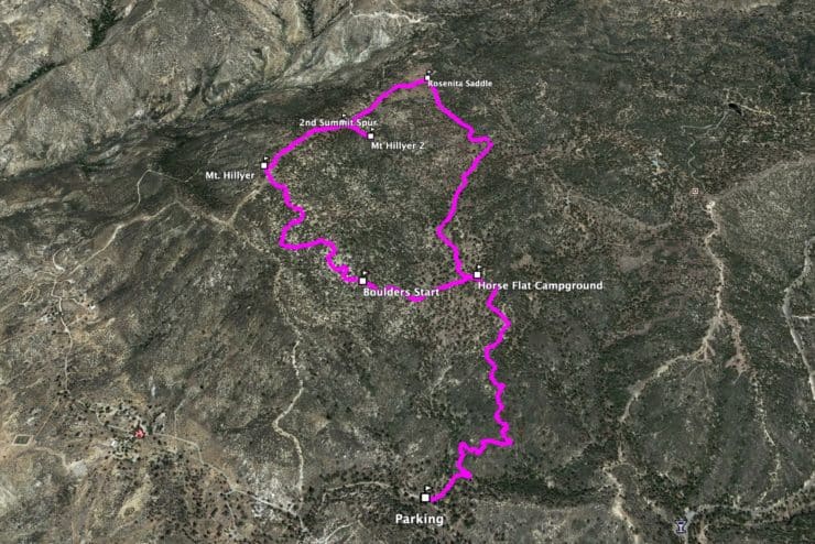
Hike Brief
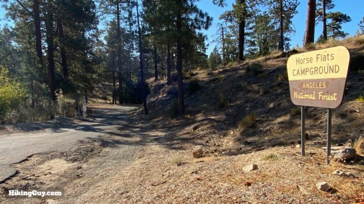
- This hike goes through the hideout area of Tiburcio Vasquez (1835-1875), the bandit who the character Zorro is loosely based on. The hidden pasture at Horse Flat Campground is where the bandits would keep their stolen horses, and the boulders of Mt Hillyer offered a fortress that they could retreat to if discovered. Vasquez was caught and hung in Runyon Canyon.
- The peak is named after Mary Hillyer, a beloved clerk who worked for the Forest Service in the 1920s.
- The loop is popular with mountain bikers, so keep an eye out. The tire tracks can come in handy. If you are in doubt of which trail to take, follow the bike tracks.
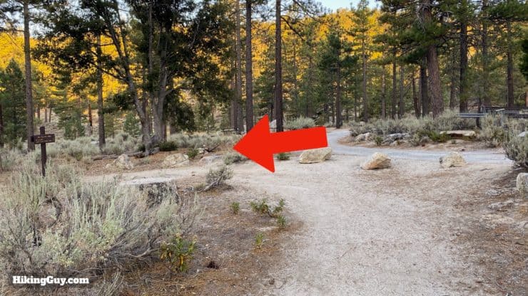
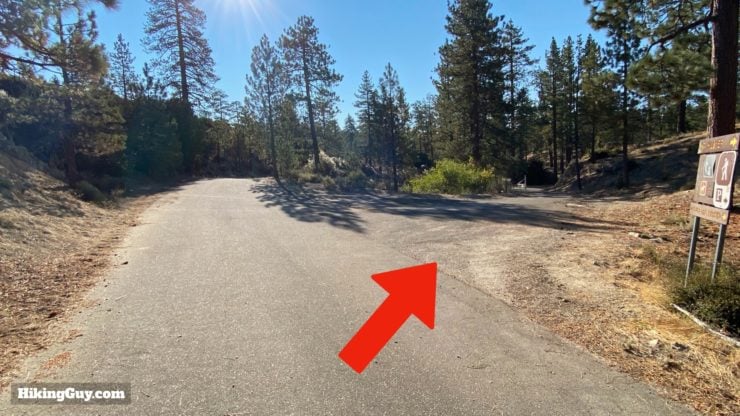
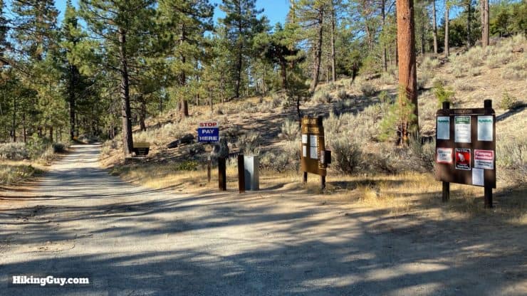
Mt Hillyer Hike Directions
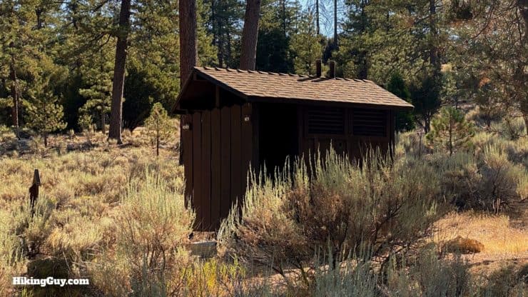
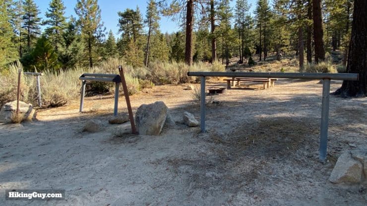
If you need to use the toilet, do it at this campground.

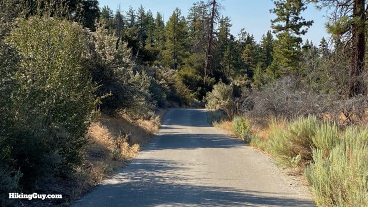
If you don't want to hike on (small) paved roads as part of the upcoming loop, just turn around and go back the way you came.
Need More Info?
- Have a question about the guide? Join my Patreon and ask me a question.
- When planning, always check the park website and social media to make sure the trails are open. Similarly, check the weather and road conditions.
- Do you have an update to this guide? View the Youtube comments for this video. Leave a comment and I will do my best to update the guide.
Related Guides
 Strawberry Peak Hike
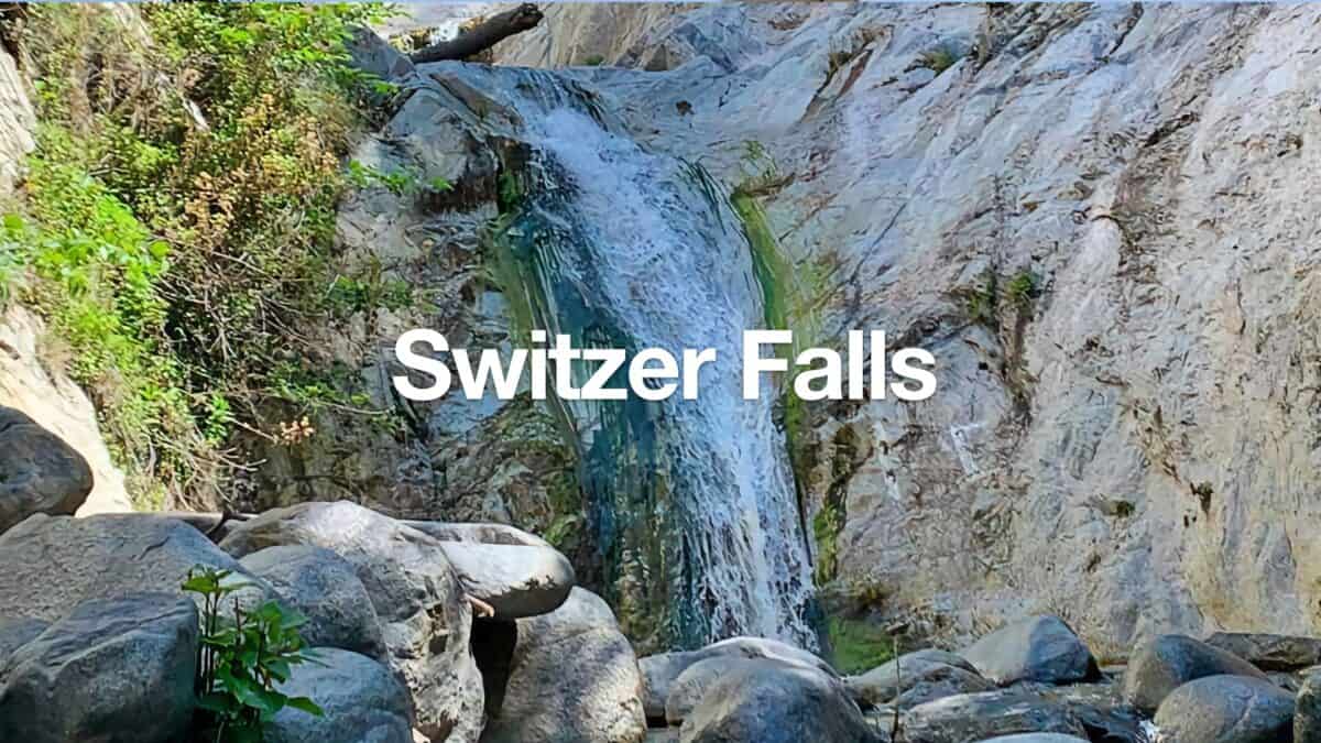 Switzer Falls Hike
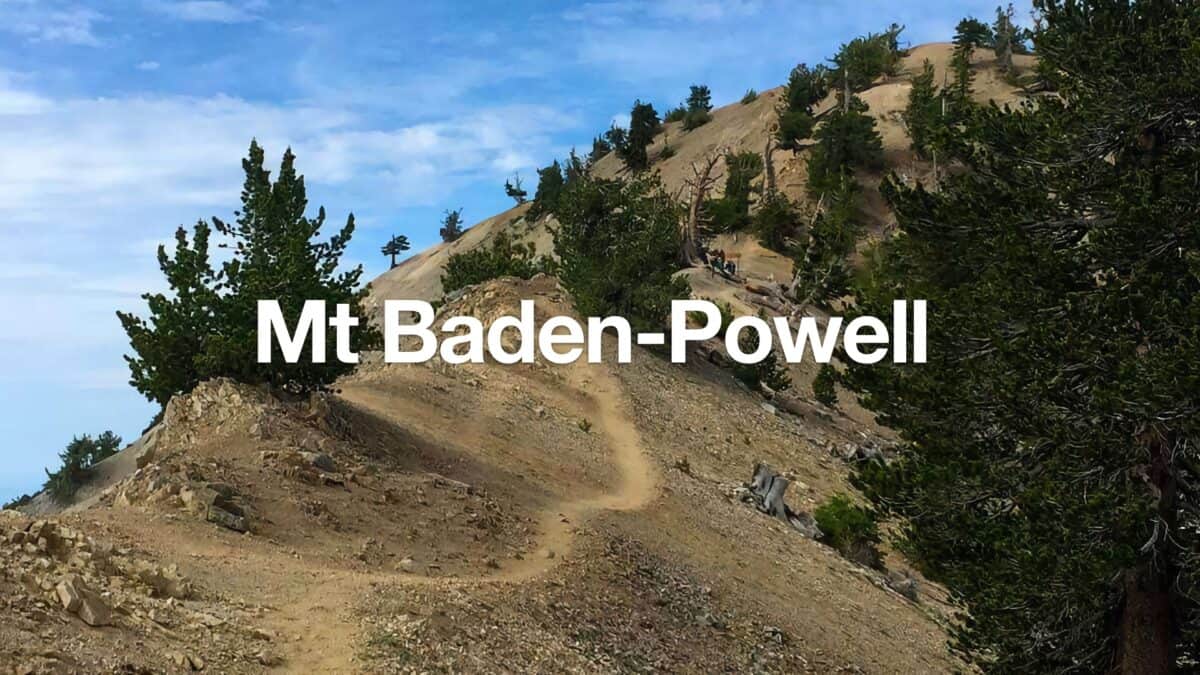 Mt Baden-Powell Hike
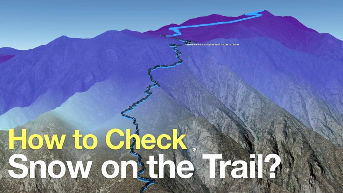 How to Check If There Is Snow On the Trail
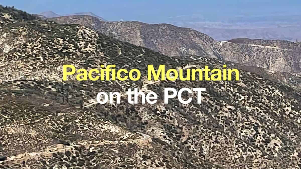 Hike Pacifico Mountain on the PCT
 Los Angeles Hikes
 Angeles National Forest Hikes
 LA Mountain Hikes
 San Gabriel Mountains National Monument Hiking
 Sierra Club 100 Peaks
Popular Guides
 Best Hiking Gear 2024
 Hiking Boots or Shoes: Do I Really Need Hiking Boots?
 When to Hit SOS on inReach
This Guide Was Written by Cris Hazzard

Hi, I'm Cris Hazzard, aka Hiking Guy, a professional outdoors guide, hiking expert, and author based in Southern California. I created this website to share all the great hikes I do with everyone else out there. This site is different because it gives detailed directions that even the beginning hiker can follow. I also share what hiking gear works and doesn't so you don't waste money. I don't do sponsored or promoted content; I share only the gear recommendations, hikes, and tips that I would with my family and friends. If you like the website and YouTube channel, please support these free guides (I couldn't do it without folks like you!). You can stay up to date with my new guides by following me on YouTube, Instagram, or by subscribing to my monthly newsletter.