

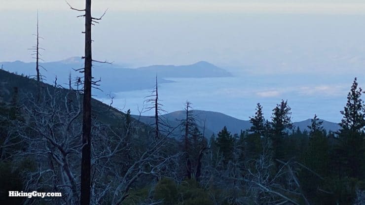
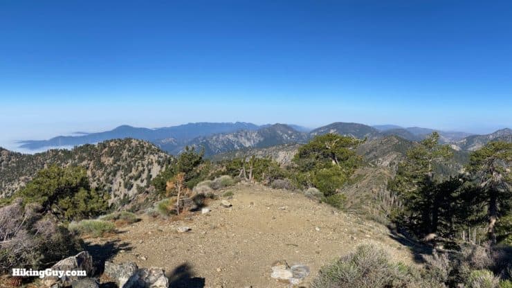
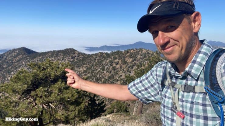
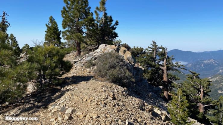
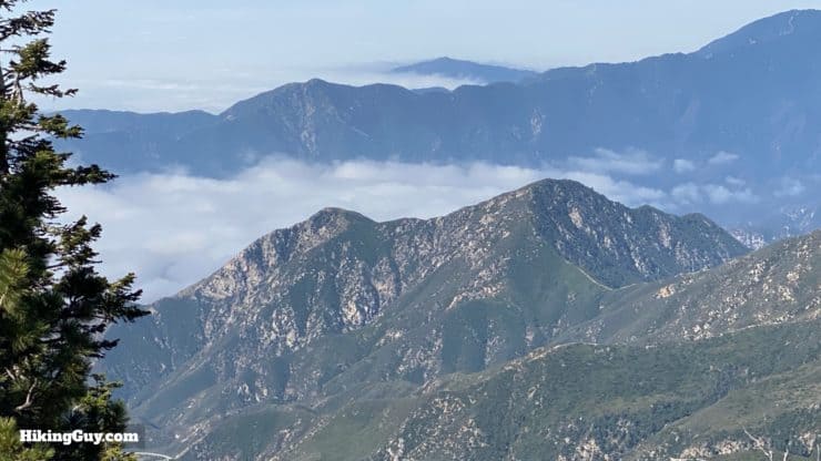
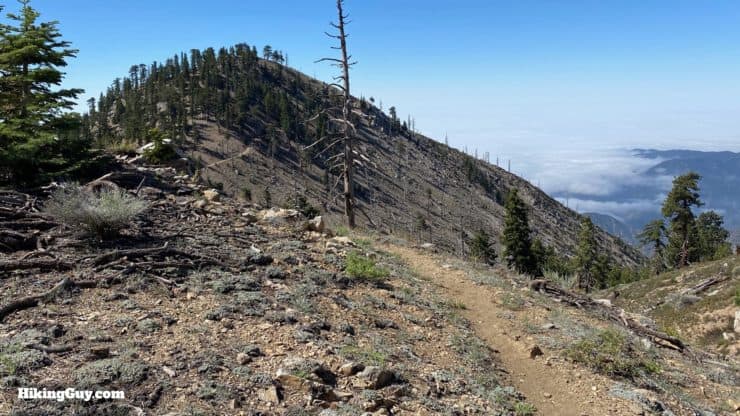
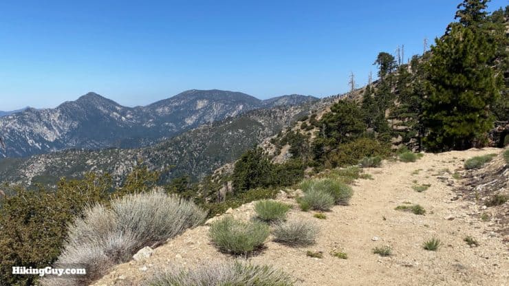
This challenging and lightly-trodden loop hike offers three summits along the route: Mt Hawkins, Middle Hawkins, and South Mount Hawkins. The hike offers sweeping views of the peaks of Angeles National Forest, an interesting history, beautiful trails, a long descent down Hawkins Ridge, and three different peaks to bag from the Sierra Club's 100 Peaks list. Escape the crowds on the nearby peaks and give the Mt Hawkins loop a try.
- Video & Turn by Turn Directions
- How to Get to the Mt Hawkins Trailhead
- Everything You Need to Know To Prepare for the Hike
Many other guides take in only Hawkins Ridge and South Mt Hawkins. This guide is about 1.5 miles longer and also offers Mount Hawkins, which offers great views and is worth the extra mileage.
Getting to the Trailhead
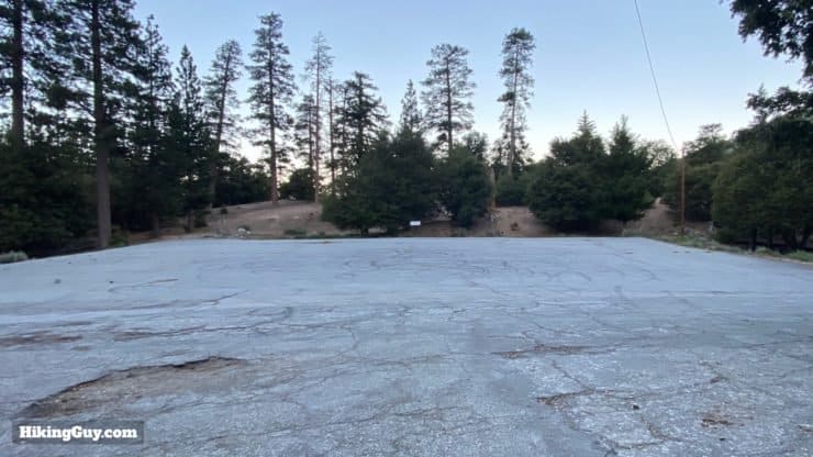
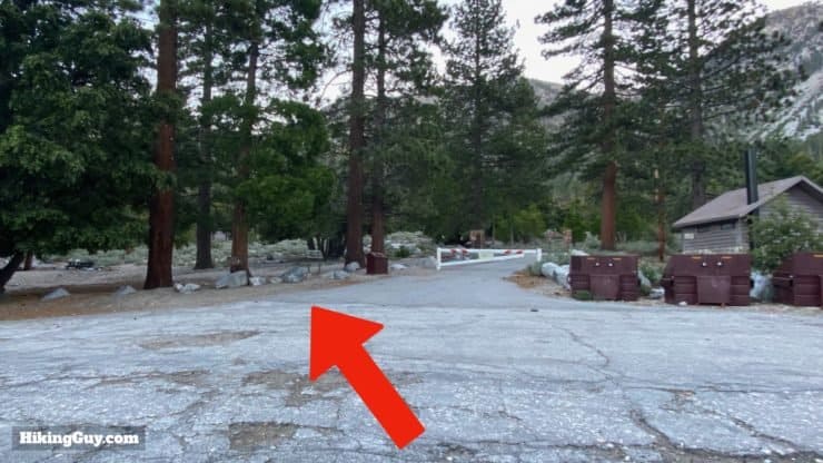
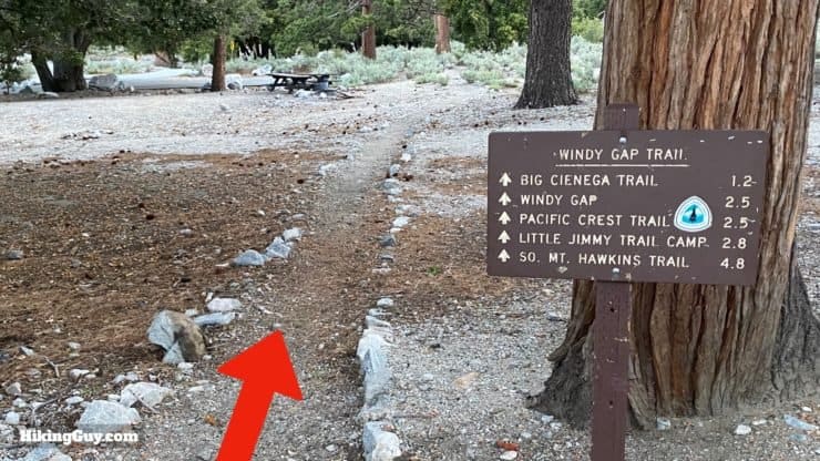
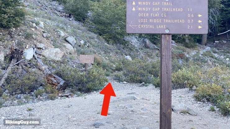
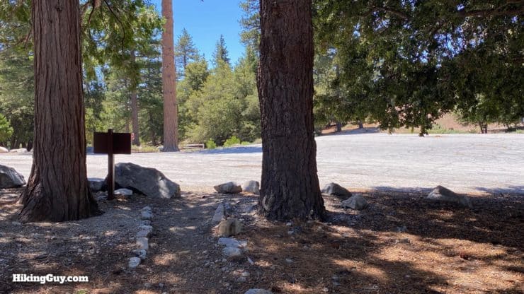
The hike starts in the Crystal Lake campground area, at the Windy Gap Trailhead. The area can be confusing, with lots of roads and some inaccurate trailheads listed on Google Maps. Finding the big trailhead parking lot is not a big deal once you know where you are going. Here are the actual parking lot coordinates:
34°19'36.3"N 117°49'56.2"W
34.326736, -117.832283
If your automotive GPS can't get to those coordinates easily, just navigate to the Crystal Lake Visitor's Center and then follow the map below.
Crystal Lake Visitor's Center, 9877 N Crystal Lake Rd, Azusa, CA 91702
Once you're at the Visitor's Center, use this map to get to the Windy Gap trailhead parking lot.
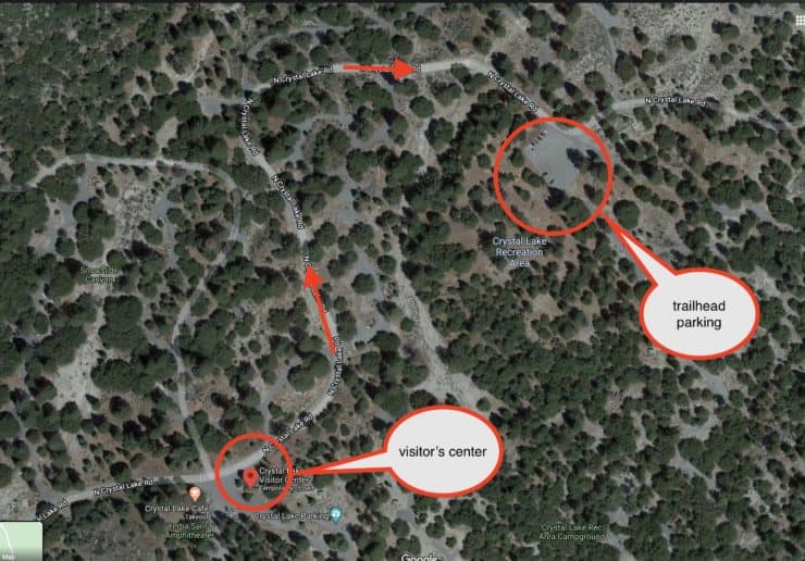
Sometimes the gate to the campgrounds (just past the Visitor's Center) is closed. If that's the case, park in the big lot just east of the Visitor's Center and walk up to the trailhead (about 10 mins).
You need a parks pass or Adventure Pass to park at Crystal Lake.
Gear For the Hike
This is a tough backcountry hike and, I recommend being prepared for all conditions. Water is seasonal, and there's no great sources right off the trail, so I recommend bringing everything that you will drink (probably around 2-3L).
Gear That I Love Right Now
Nothing is sponsored or promoted, just the actual gear that I use.


Check out the complete list here. ( Updated July 2024)
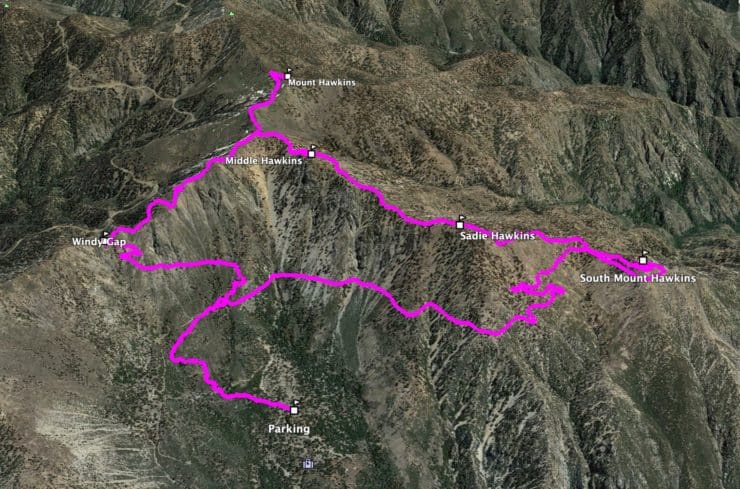
Mt Hawkins Loop Trail Maps
How Will You Navigate?
 Using the Apple Watch for Hiking
 Garmin Fenix 7 & Epix Review For Hikers
 How To Read a Topographic Map
 Garmin GPSMAP 67i Review
Elevation Profile
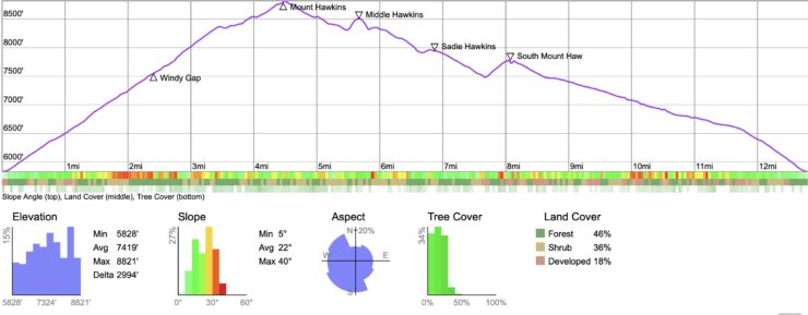
Hike Landmarks
| Landmark | Distance | Elevation |
|---|---|---|
| Trailhead | 0 | 5840 |
| Windy Gap | 2.5 | 7588 |
| Mount Hawkins | 4.5 | 8850 |
| Middle Hawkins | 5.8 | 8505 |
| South Mount Hawkins | 8.5 | 7783 |
| Windy Gap Trailhead | 13 | 5840 |
3D Map
Hike Brief
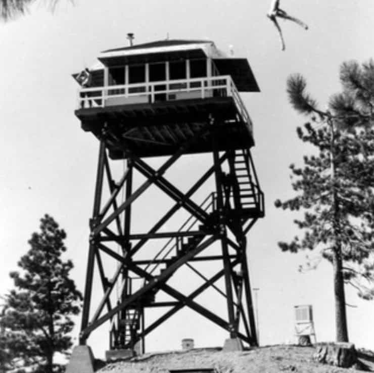
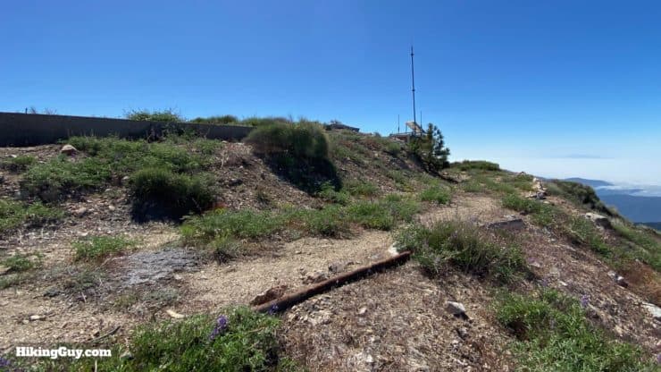
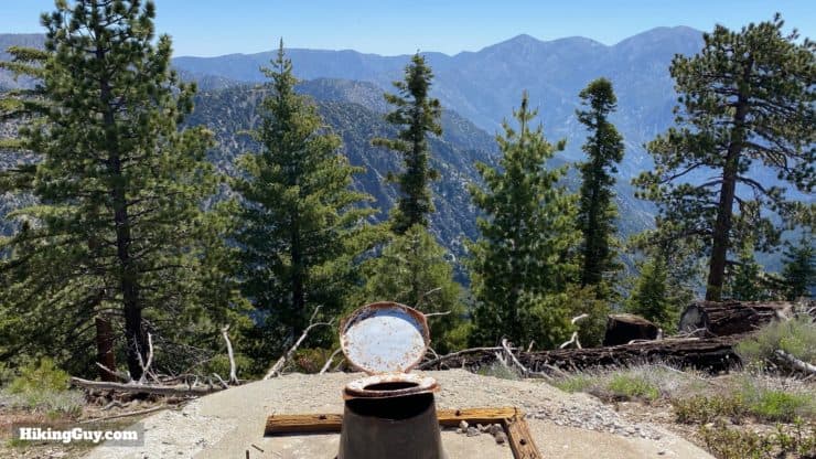
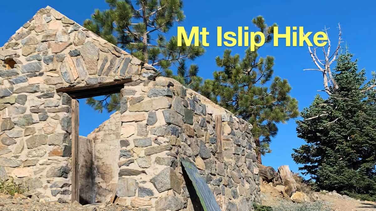
- There used to be an all-wood fire tower on South Mount Hawkins. It was originally erected on nearby Mt Islip in 1927, but then moved to South Mount Hawkins in 1937. The tower burned down in the 2002 Curve Fire. You'll be able to see the concrete base and ruins of it on the hike. The Angeles National Forest Fire Lookout Association tried to raise money to rebuild it, but the road to the tower was abandoned by the Forest Service and the plans were scrapped.
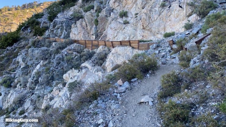
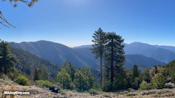
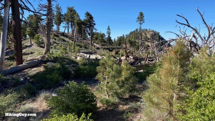
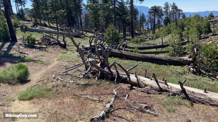
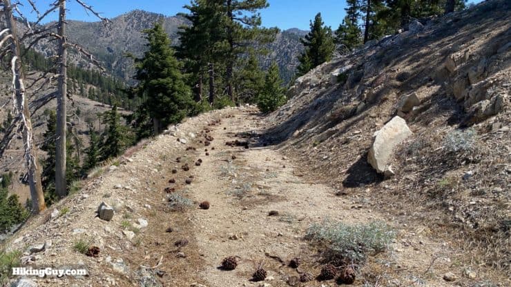
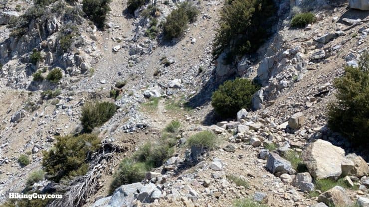
- The 2002 Curve Fire destroyed much of the area that this hike goes through. You'll still see burnt trees and cleared hillsides, evidence of the destruction. The area has bounced back nicely though.
- Mount Hawkins, South Mount Hawkins, and Middle Hawkins are allegedly named after Nellie Hawkins, popular waitress at the Squirrel Inn from 1901 to 1906 who, according to historian John Robinson, "charmed and attracted miners, hunters, and campers." She must have been quite something.
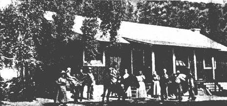
- The Squirrel Inn, which is a great name, is no longer there, so don't go looking for squirrel pie after your hike. Today the Coldbrook Campground stands on the site where it was located.
- There's an unofficial fourth Hawkins peak called Sadie Hawkins Peak. It's not an official peak or particularly exciting, but I'll show you where it is if you want to look.
- This loop used to be hiked by the Sierra Club as a "Sadie Hawkins Day" outing (but they also bagged Throop Peak). You can read a funny LA Times account of the hike from 1946 where the reporter who was tagging along bellyaches about how hard the hike is.
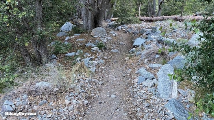
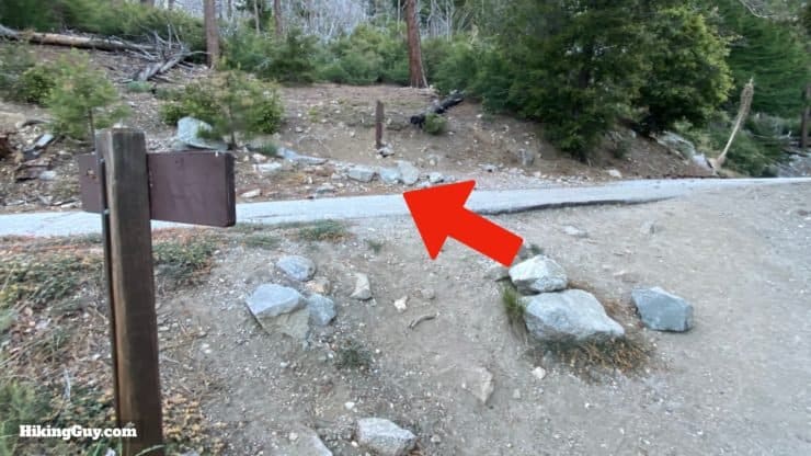
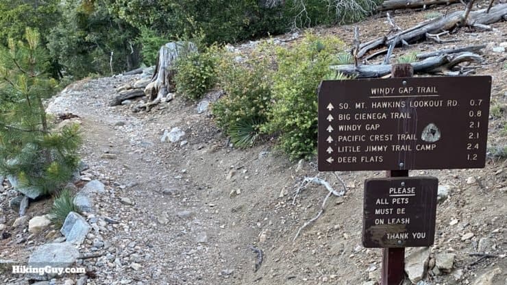
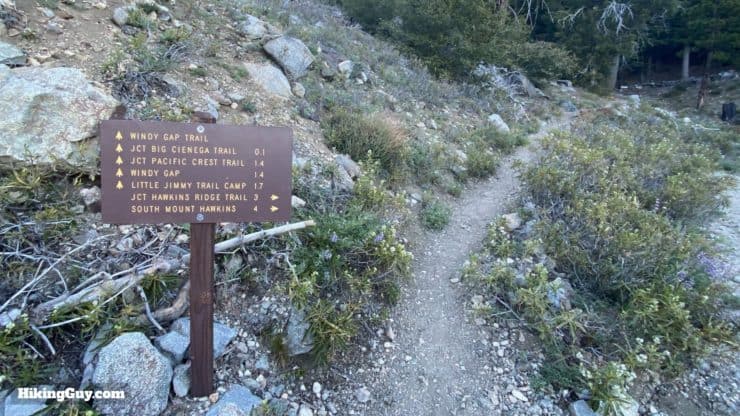
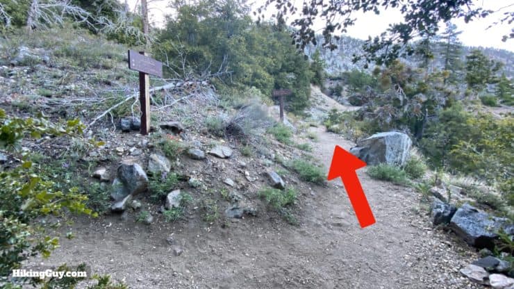
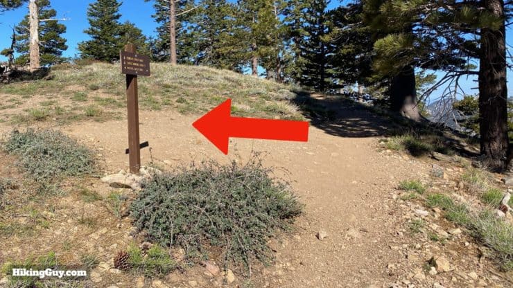
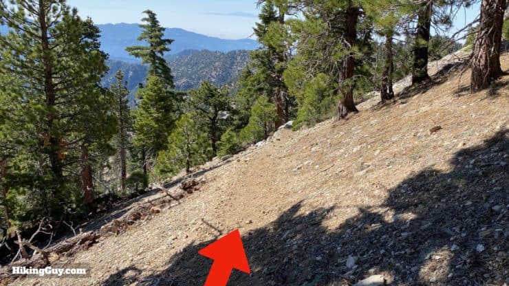
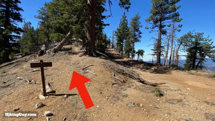
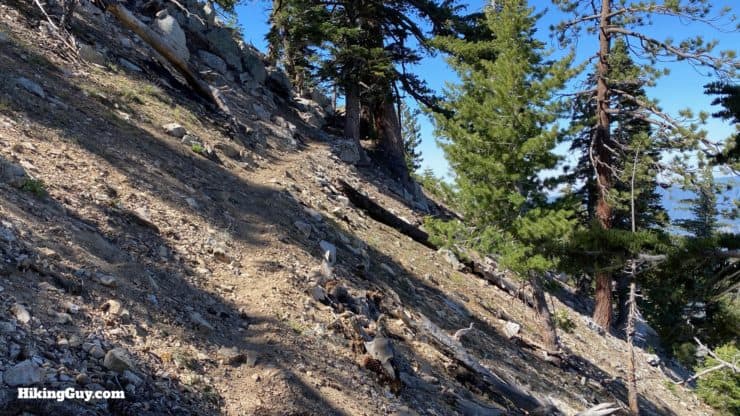
Mt Hawkins Loop Hike Directions
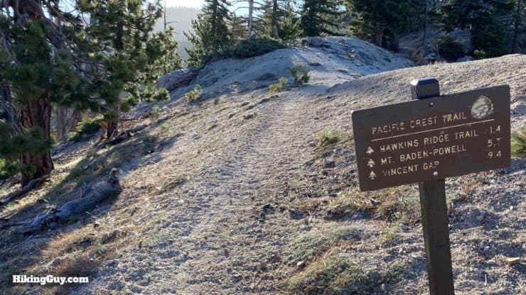
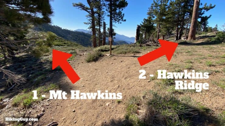
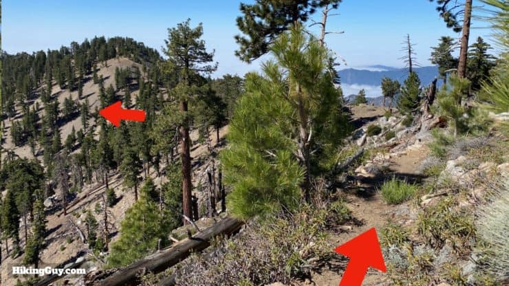
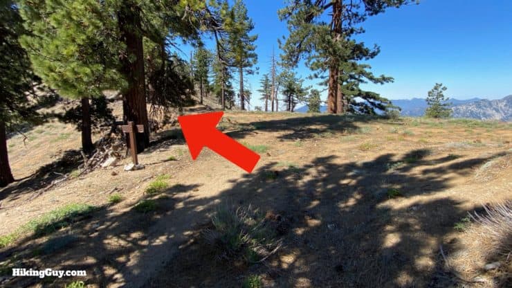
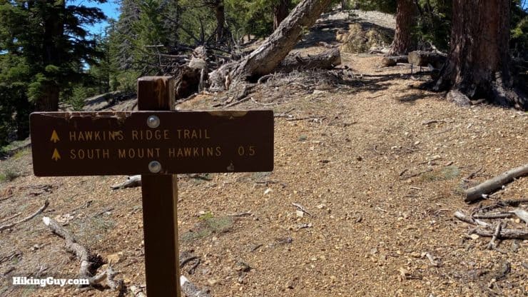
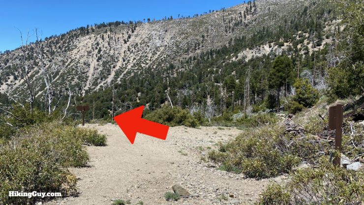
From the summit of Mt Hawkins, head back to the Hawkins Ridge Trail junction.
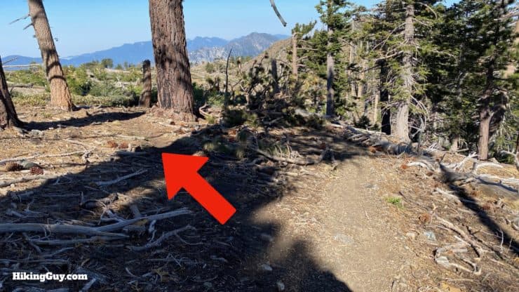
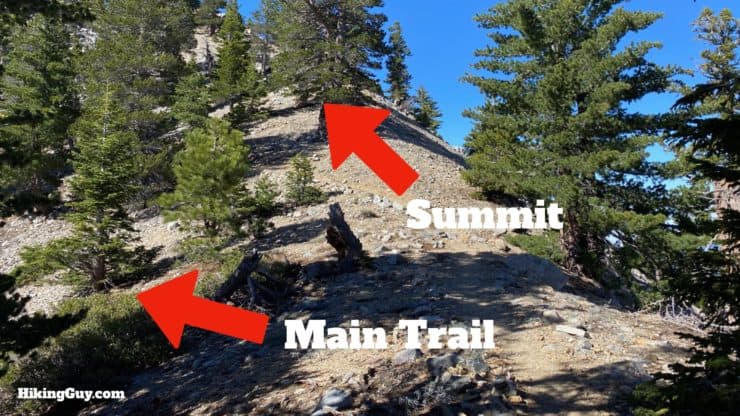
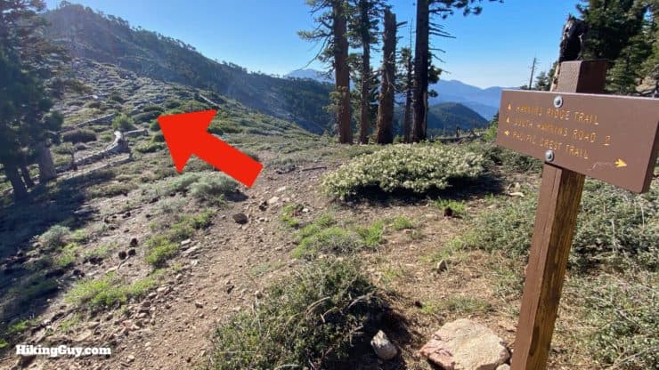
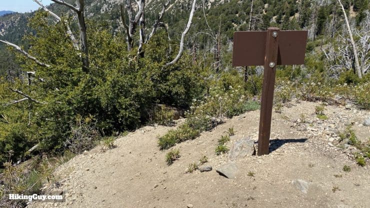
The OSM maps show the Hawkins Ridge Trail going straight down the ridge from Middle Hawkins summit, which is not the case (at least anymore). I recommend heading back down the way you came from Middle Hawkins and then continuing on the trail. The GPX file and map in this guide correctly documents the trail, even though it doesn't match the OSM trail.

Need More Info?
- Have a question about the guide? Join my Patreon and ask me a question.
- When planning, always check the park website and social media to make sure the trails are open. Similarly, check the weather and road conditions.
- Do you have an update to this guide? View the Youtube comments for this video. Leave a comment and I will do my best to update the guide.
Related Guides
 Hike Mt Islip From Crystal Lake
 Hike Mt Waterman & Twin Peaks
 Strawberry Peak Hike
 Hike Wright Mountain From Inspiration Point
 Los Angeles Hikes
 Angeles National Forest Hikes
 Fire Tower Hikes
 LA Mountain Hikes
 Sierra Club 100 Peaks
Popular Guides
 Best Hiking Gear 2024
 Hiking Boots or Shoes: Do I Really Need Hiking Boots?
 When to Hit SOS on inReach
This Guide Was Written by Cris Hazzard

Hi, I'm Cris Hazzard, aka Hiking Guy, a professional outdoors guide, hiking expert, and author based in Southern California. I created this website to share all the great hikes I do with everyone else out there. This site is different because it gives detailed directions that even the beginning hiker can follow. I also share what hiking gear works and doesn't so you don't waste money. I don't do sponsored or promoted content; I share only the gear recommendations, hikes, and tips that I would with my family and friends. If you like the website and YouTube channel, please support these free guides (I couldn't do it without folks like you!). You can stay up to date with my new guides by following me on YouTube, Instagram, or by subscribing to my monthly newsletter.