
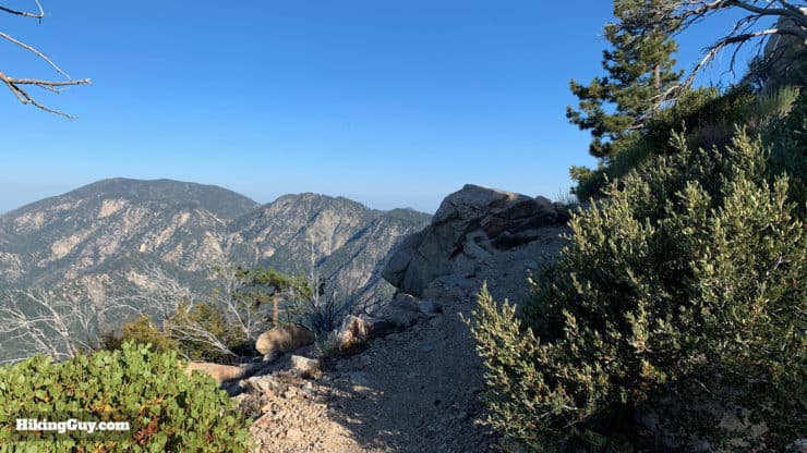
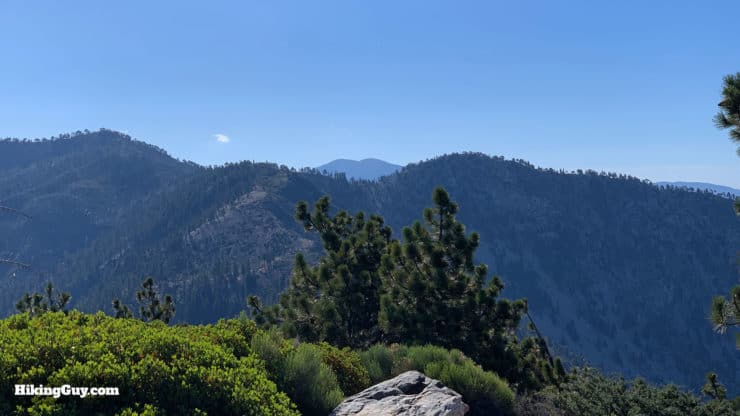
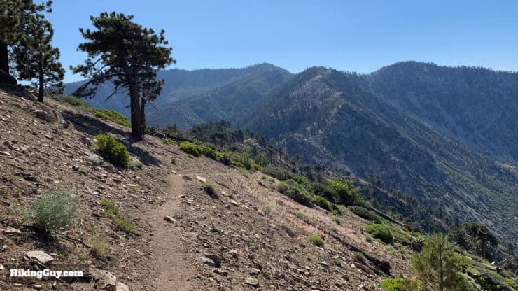
Tucked into Angeles National Forest away from the crowds, this loop hike to Mt Islip from Crystal Lake offers a little bit of everything in a very doable package. Starting at one of the only natural lakes in Angeles National Forest, Crystal Lake, the hike follows well-marked trails, offers spectacular views, and summits Mt Islip at 8,250 ft. After soaking in the sweeping views from Catalina to the Mojave, you have a long, gradual downhill cruise back to the Crystal Lake Recreation Area.
- Turn by Turn Hike Directions & Video
- Mt Islip Trail Maps
- How to Get to the Crystal Lake Trailhead
- Points of Interest on the Hike
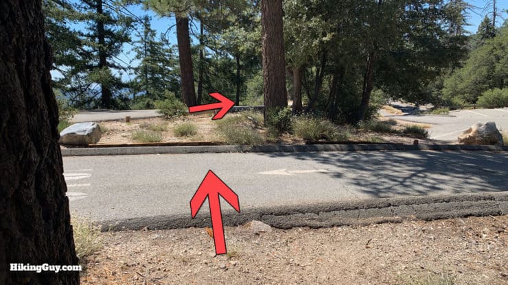
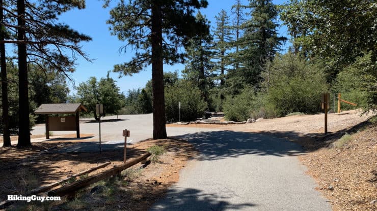
How to Get To the Crystal Lake Trailhead
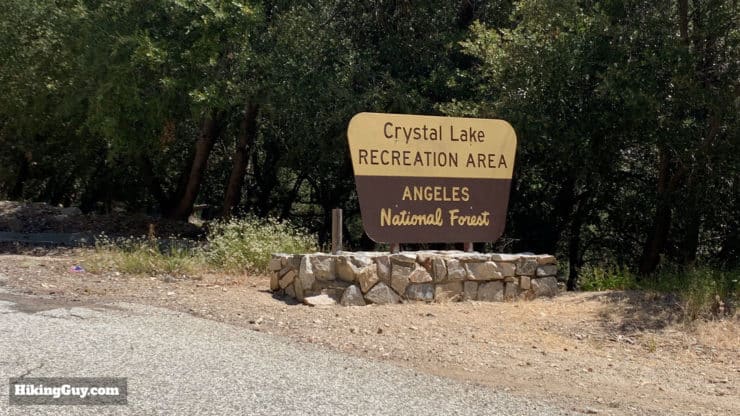
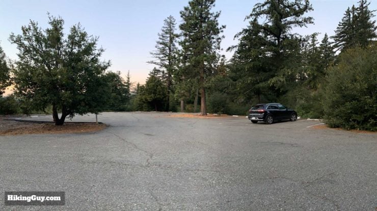
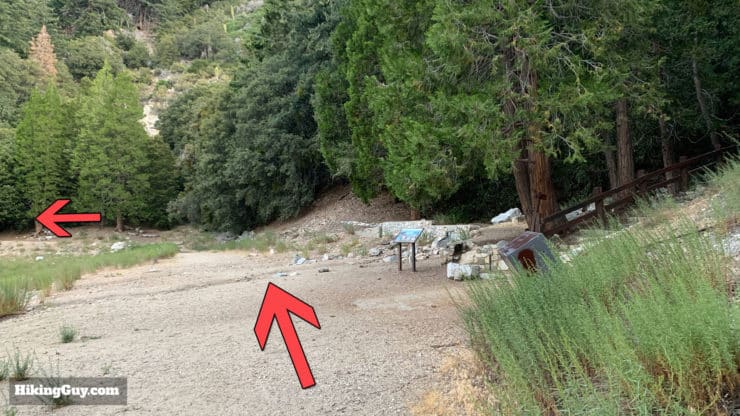
The hike starts at the Crystal Lake Recreation Area at the end of Rt 39. The drive up Rt. 39 is a fun one as it winds up through the mountains. Rt 39 used to connect with the Angeles Crest Highway just after the trailhead area, but the highway closed after a mudslide in 1978. The trailhead for the hike is just before the campground area at the actual (Crystal) lake.
Use this trailhead address:
Crystal Lake Recreation and Picnic Area, N Crystal Lake Rd, Azusa, CA 91702
Rt 39 can close during snow and ice, so check the CalTrans website before you go.
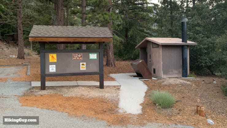
Crystal Lake Recreation Area has dozens of campsites, some with RV hookups; if you want to stay the night, you certainly have a good option here. I never see it full, but on summer weekends it does attract visitors. Campgrounds are first-come,. first-serve, and not bookable on the Recreation.gov website.
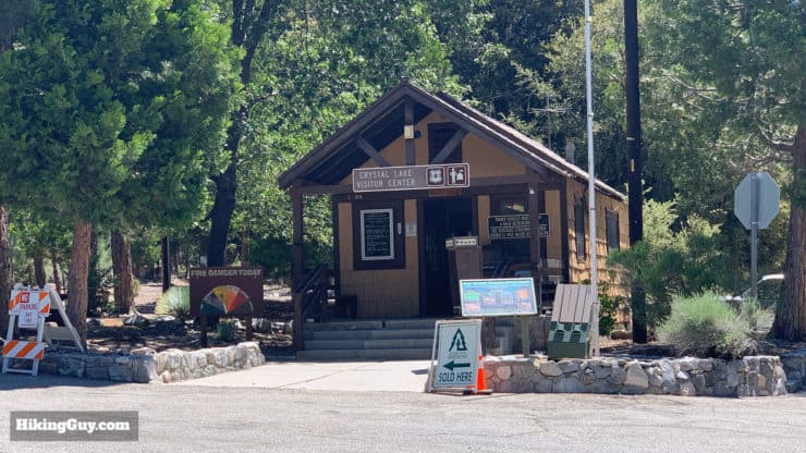
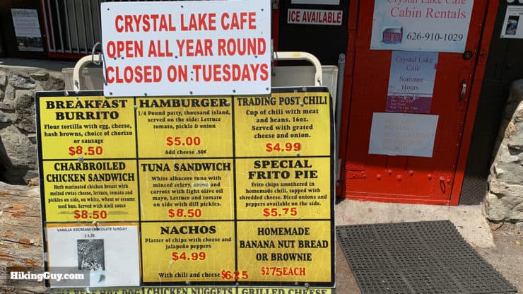
There's also a small visitor's center manned by volunteers and general store, the Crystal Lake Cafe, which has food and camping basics like firewood. There's no beer or alcohol at the store, so bring it up yourself.
There's also an amphitheater here that is allegedly haunted.
Gear For the Hike
You'll definitely want full-on hiking gear on this hike. Bugs can be bad in the summer, and in the winter it's smart to throw micro-spikes in your pack. Trekking poles will help on the climb and descent.
If you want to check if there's snow on your hike, read this guide.
Gear That I Love Right Now
Nothing is sponsored or promoted, just the actual gear that I use.


Check out the complete list here. ( Updated July 2024)
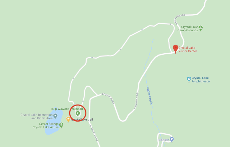
Mt Islip From Crystal Lake Trail Maps
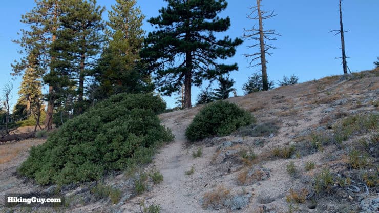
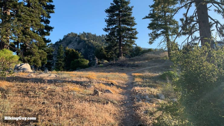
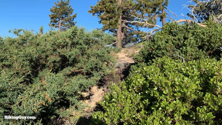
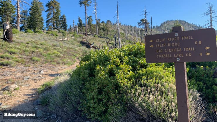
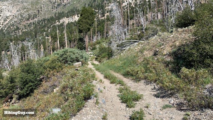
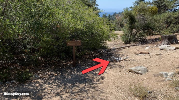
While these aren't the most popular hiking trails in Angeles National Forest, they are very well marked. Signs get stolen though, so be prepared. And if you're using OSM maps, note that some trails are incorrect. The GPX file that I have here is correct based on the trails and directions that you find in this guide.
How Will You Navigate?
 Using the Apple Watch for Hiking
 Garmin Fenix 7 & Epix Review For Hikers
 How To Read a Topographic Map
 Garmin GPSMAP 67i Review
Elevation Profiles
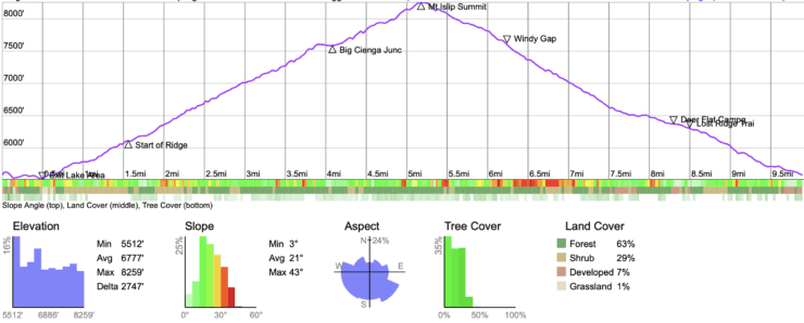
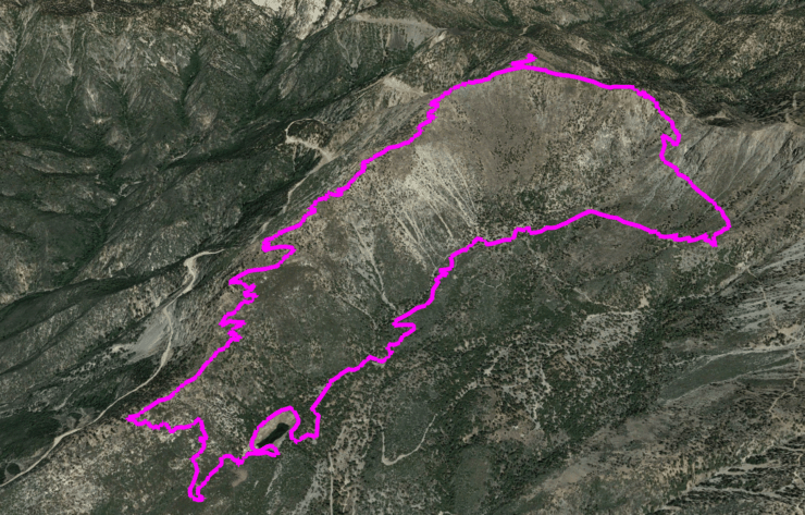
Hike Landmarks
| Landmark | Distance | Elevation |
|---|---|---|
| Crystal Lake Trailhead | 0 | 5200 |
| Exit the Lake Shore | 0.5 | 5200 |
| Start of Ridge | 1.6 | 6100 |
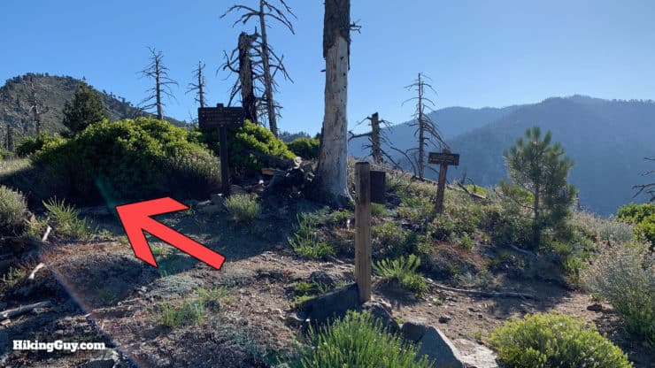
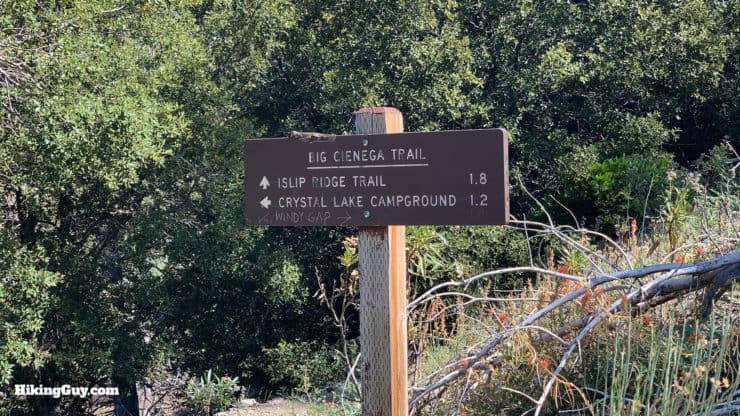
| Big Cienga Junction | 4.2 | 7600 |
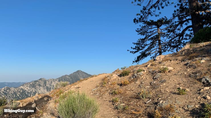
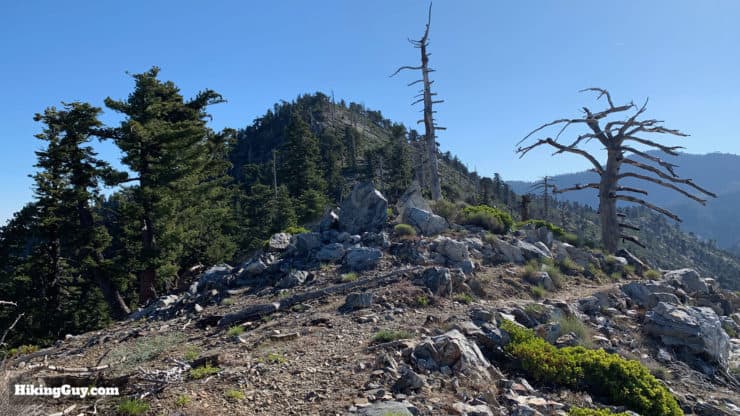
| Mt Islip Summit | 5.5 | 8250 |
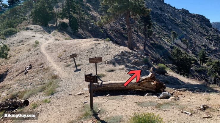
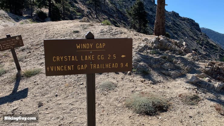
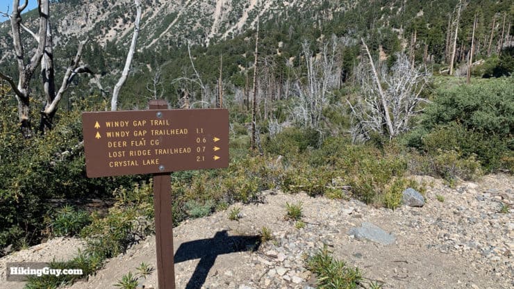
| Windy Gap | 6.5 | 7588 |
| Deer Flat Campground | 8.6 | 6600 |
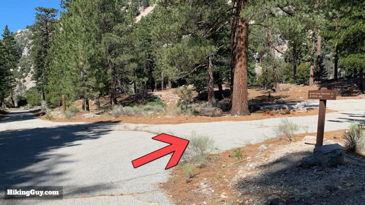
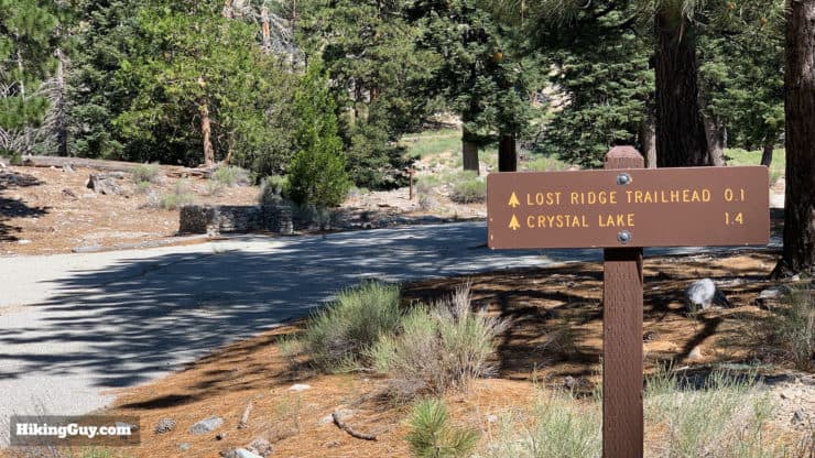
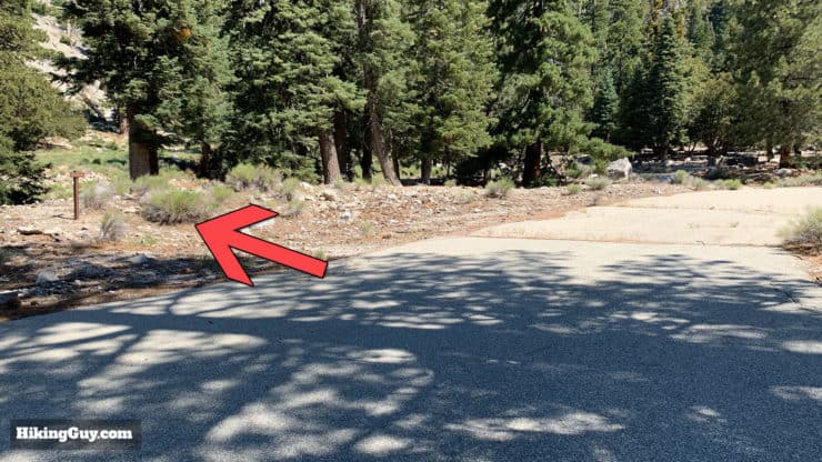
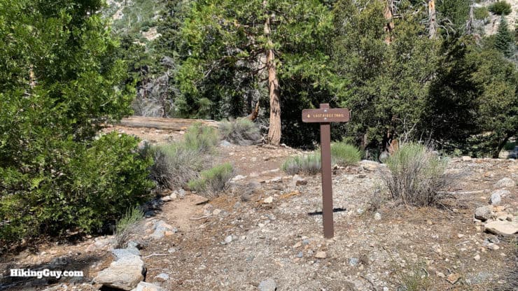
| Lost Ridge Trail | 8.8 | 6400 |
| Trailhead | 10.5 | 5200 |
Hike Brief
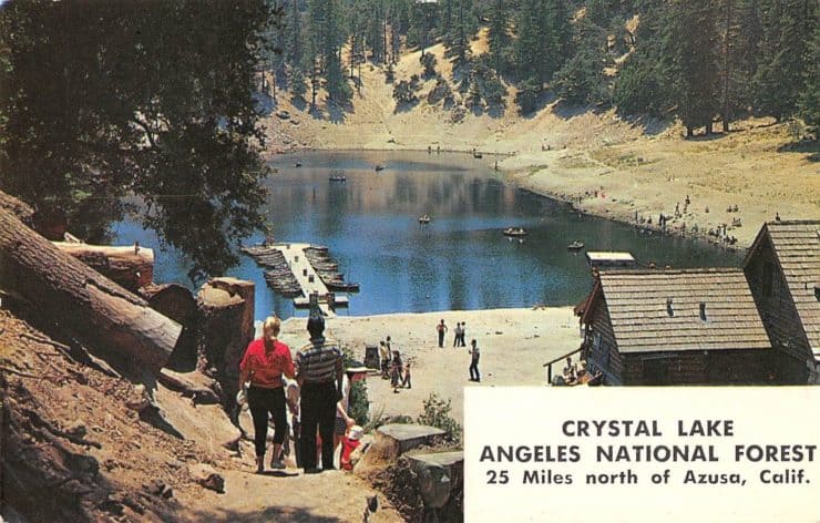
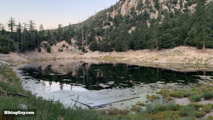
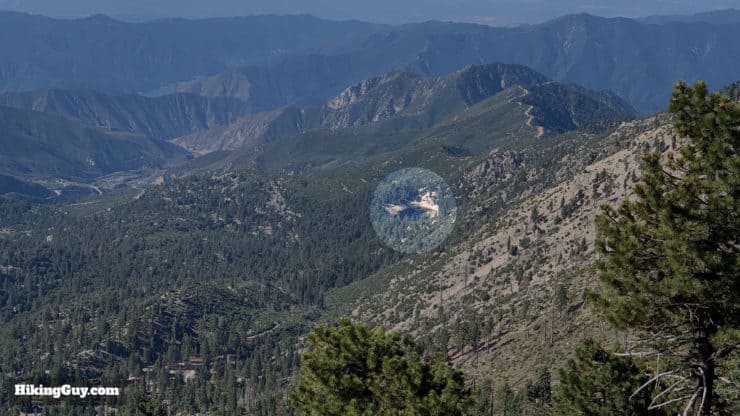
- Crystal Lake is one of the only naturally formed lakes in southern California. Most "lakes" that you see in SoCal are man-made or are actually sag ponds, which is where a fault opened up and ground water seeped in. As a true lake, Crystal Lake fed only by snow and springs. Depending on when you visit, the water level can be low or high; Crystal Lake tends to go way down when we're in a drought. When the lake is full it's 130 feet deep. Note that there is no swimming in the lake today, and the waters aren't as crystal clear as they used to be.
- The area was originally settled by gringos in the mid-1800s when hunters were attracted to the lake because it was a popular watering hole for grizzly bears and other animals. The grizzlies are long gone but the remoteness of the area often attracts big horn sheep; keep your eyes open for them on the slopes. The lake is also used to be stocked with rainbow trout but hasn't been in some years.
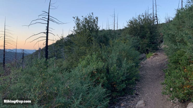
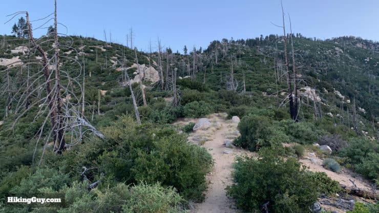
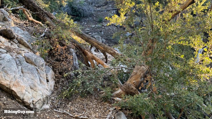
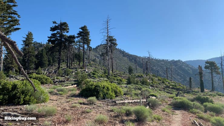
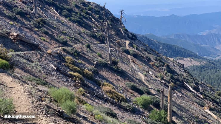
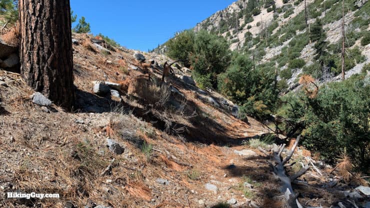
- The 2002 Curve Fire did a number on this whole area, including the campground and all the way to the summit of Mt Islip. You'll see evidence of the fires on the hike. The damage was pretty bad and the area didn't reopen until spring of 2011.
- Mt Islip (pronounced eye-slip) is named after George Islip, an Englishman who settled here in the 1880s.
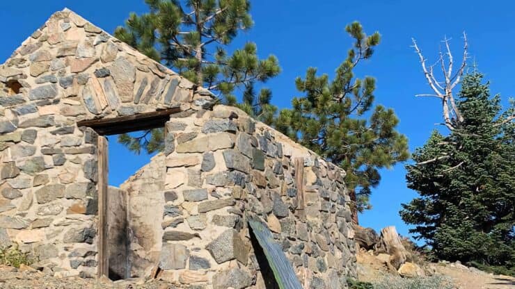
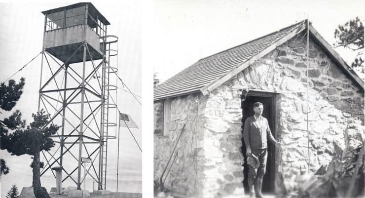
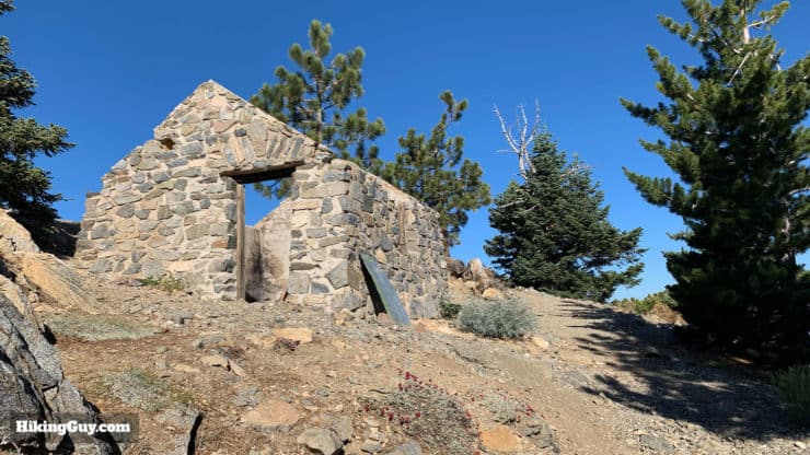
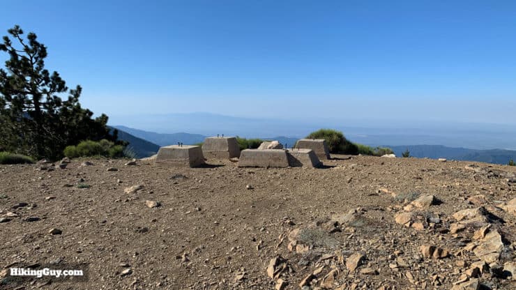
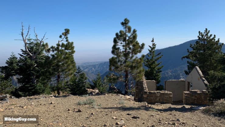
- A fire tower once stood on Mt Islip, and you can see the old foundation and stone living quarters when you get to the summit. The fire tower went up in 1928 but only stood on Mt Islip for 10 years; in 1938 it was moved to nearby South Mt Hawkins where it stood until it burned down in the 2002 Curve Fire. Mt Islip was also home to one of the first two-way radios used by the Forest Service for fire reporting. There used to be several fire towers covering Angeles National Forest. They were abandoned in the 1960s and 70s when the smog became so bad that they were ineffective.
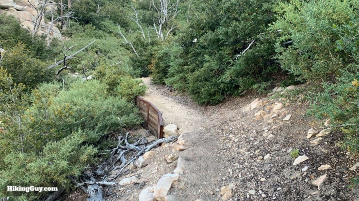
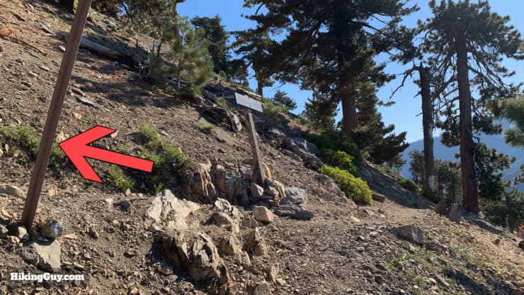
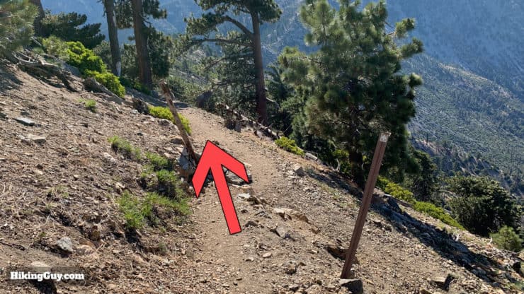
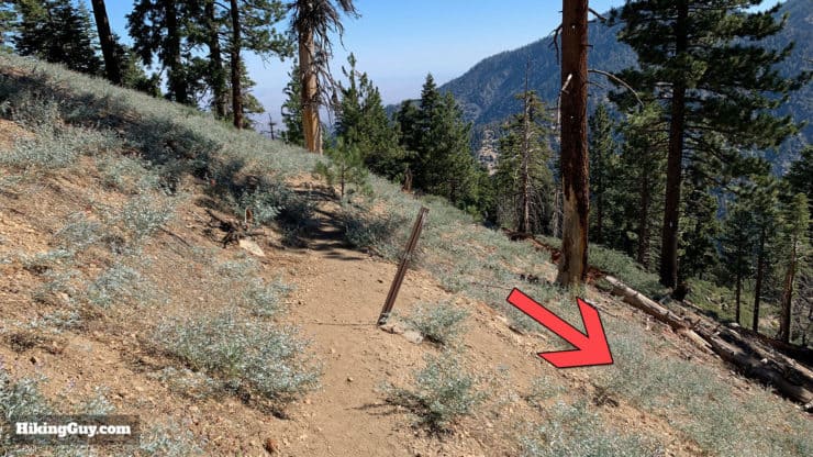
Mt Islip From Crystal Lake Hike Directions
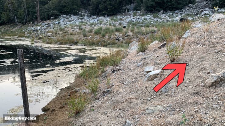
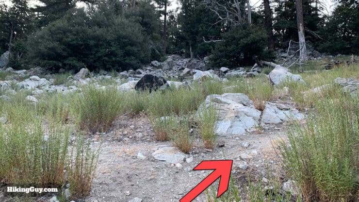
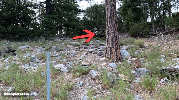
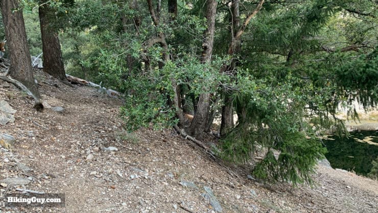
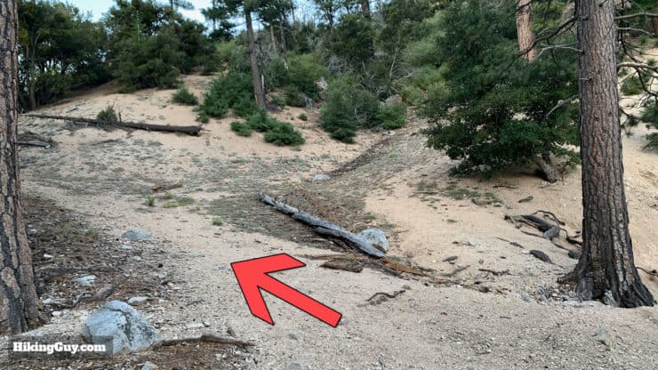
This trail is known as both the Islip Ridge and Islip-Wawona trail. Different maps have different monikers for it.
Need More Info?
- Have a question about the guide? Join my Patreon and ask me a question.
- When planning, always check the park website and social media to make sure the trails are open. Similarly, check the weather and road conditions.
- Do you have an update to this guide? View the Youtube comments for this video. Leave a comment and I will do my best to update the guide.
Related Guides
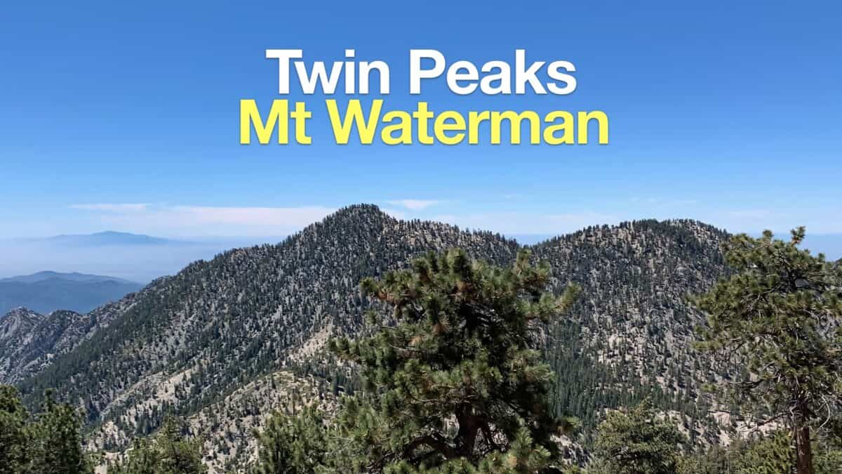 Hike Mt Waterman & Twin Peaks
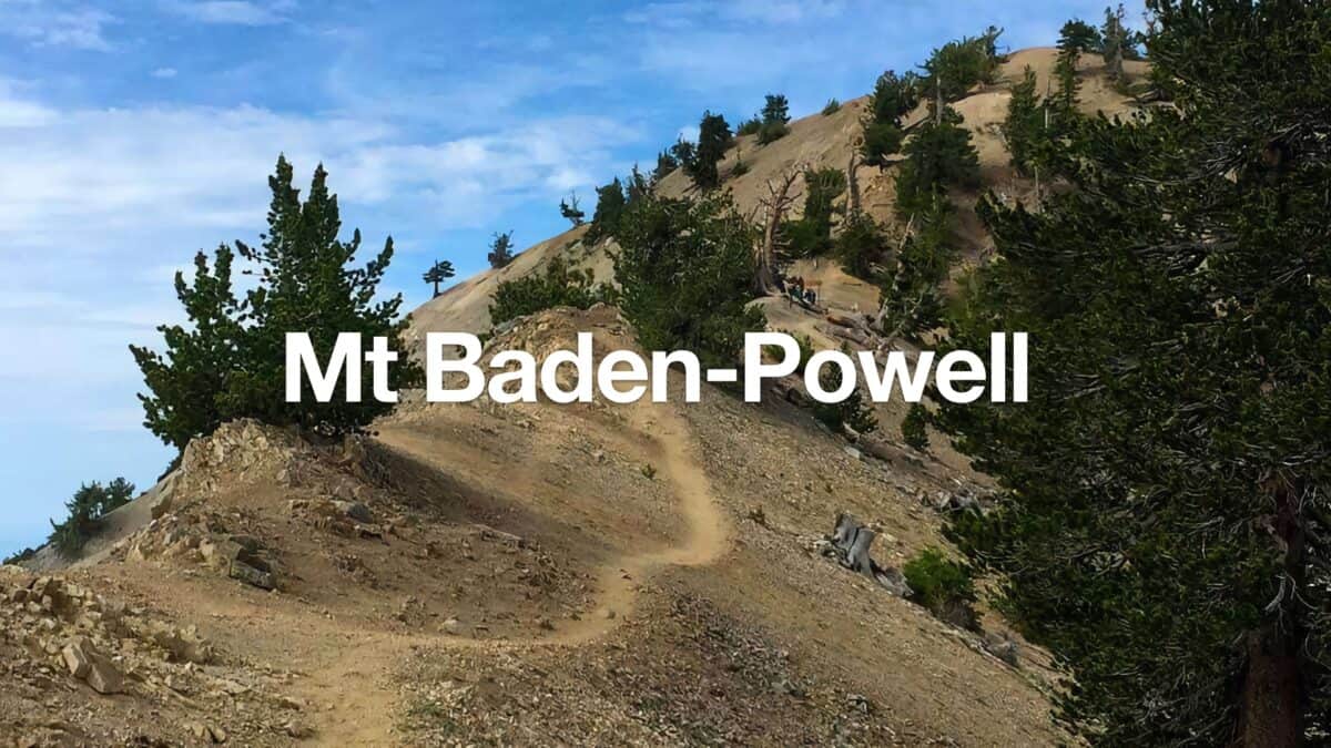 Mt Baden-Powell Hike
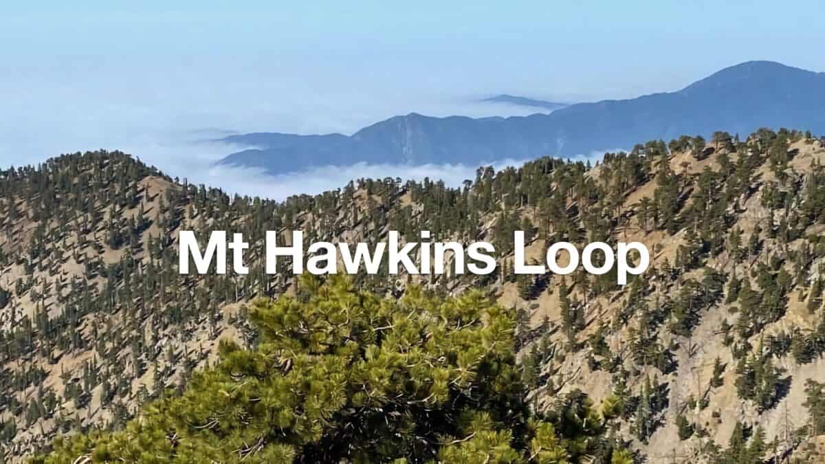 Mt Hawkins Loop Hike (Hawkins, Middle, and South Mount Hawkins)
 Los Angeles Hikes
 Angeles National Forest Hikes
 Backpacking Trips
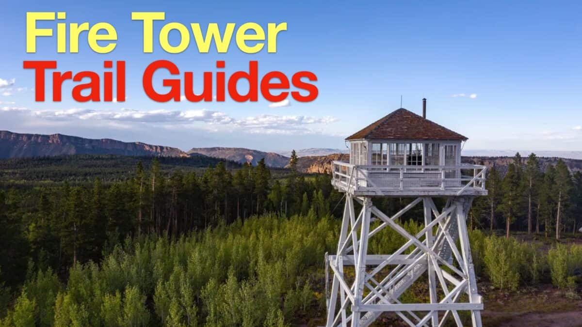 Fire Tower Hikes
 LA Mountain Hikes
 Sierra Club 100 Peaks
Popular Guides
 Best Hiking Gear 2024
 Hiking Boots or Shoes: Do I Really Need Hiking Boots?
 When to Hit SOS on inReach
This Guide Was Written by Cris Hazzard

Hi, I'm Cris Hazzard, aka Hiking Guy, a professional outdoors guide, hiking expert, and author based in Southern California. I created this website to share all the great hikes I do with everyone else out there. This site is different because it gives detailed directions that even the beginning hiker can follow. I also share what hiking gear works and doesn't so you don't waste money. I don't do sponsored or promoted content; I share only the gear recommendations, hikes, and tips that I would with my family and friends. If you like the website and YouTube channel, please support these free guides (I couldn't do it without folks like you!). You can stay up to date with my new guides by following me on YouTube, Instagram, or by subscribing to my monthly newsletter.