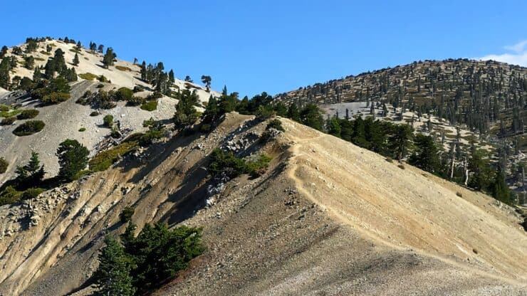

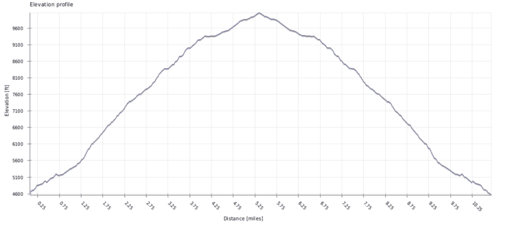
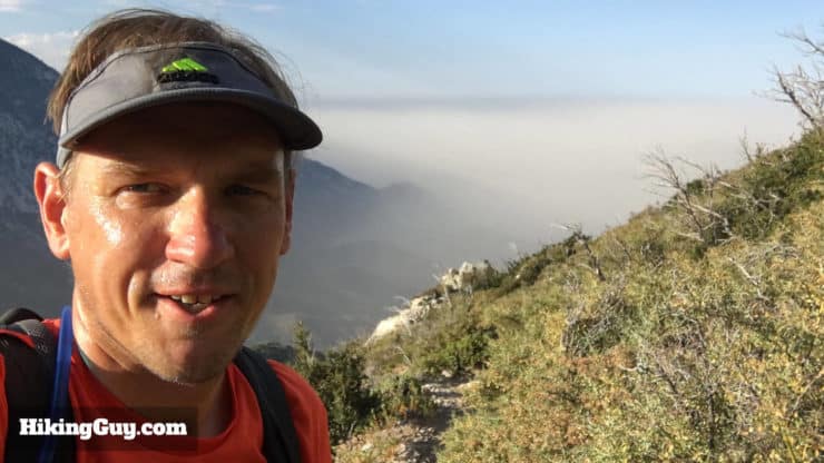
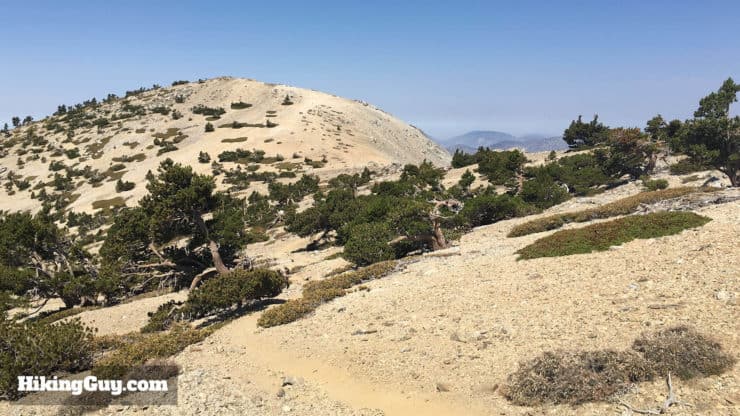
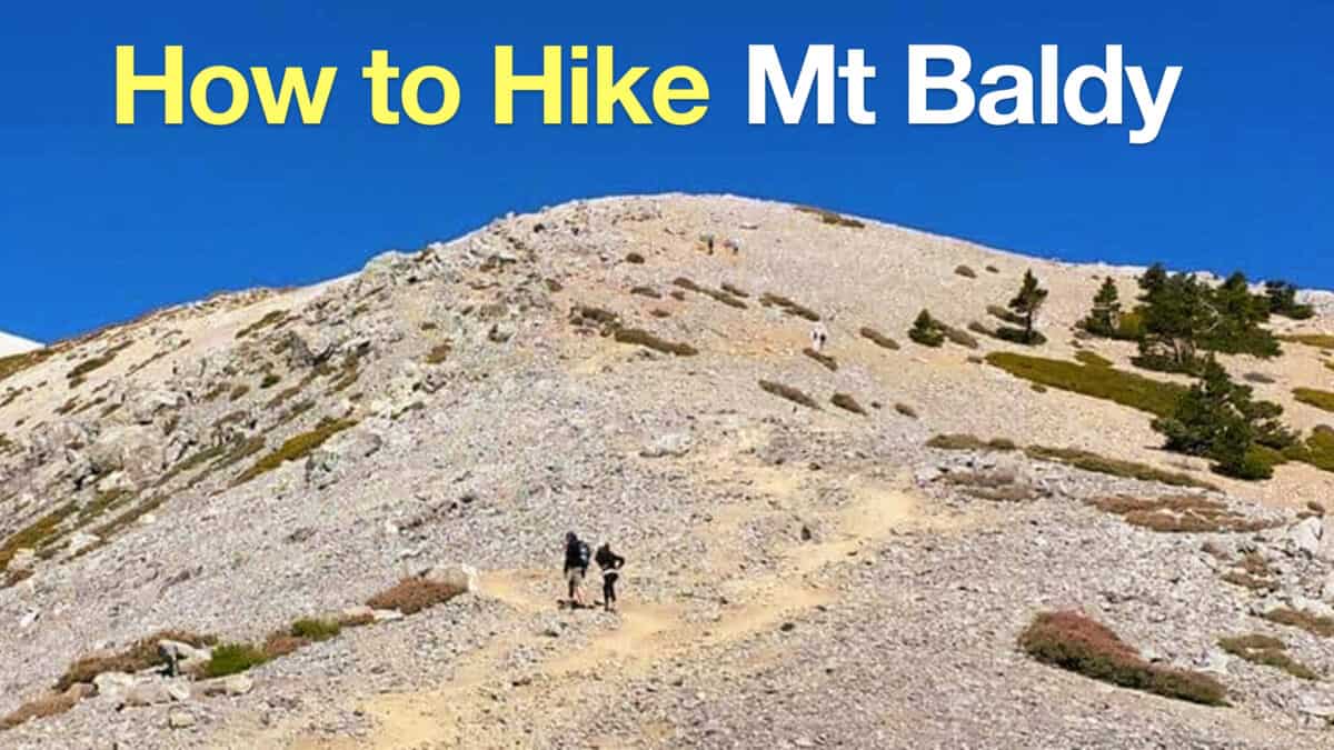
Everyone hikes Mt Baldy from Manker Flats, but have you done it on the Bear Canyon Trail? Also known as Old Mt Baldy Trail, this hike leaves from Mt Baldy Village on it's way to the summit. Unlike the main hike up Mt Baldy (via Baldy Notch), the Bear Canyon Trail is usually not as crowded. That's because it's harder. It climbs 5740 feet in 6 miles. There are sections that are very steep. It'd doable with a decent level of fitness. This hike is a good choice for those who have hiked Mt Baldy from Manker Flats and now want to do it again, without all the hub-bub.
- How to Get to Bear Canyon Trail
- Turn by Turn Hike Directions & Video
- Bear Canyon Trail Maps
Everyone hikes Mt Baldy from Manker Flats, but have you done it on the Bear Canyon Trail? Also known as Old Mt Baldy Trail, this hike leaves from Mt Baldy Village on it's way to the summit. Unlike the main hike up Mt Baldy (via Baldy Notch), the Bear Canyon Trail is usually not as crowded. That's because it's harder. It climbs 5740 feet in 6 miles. There are sections that are very steep. It'd doable with a decent level of fitness. This hike is a good choice for those who have hiked Mt Baldy from Manker Flats and now want to do it again, without all the hub-bub.
The Bear Canyon Trail, built in 1889, used to be the main route to hike Mt Baldy, which is why they call it the Old Baldy Trail. When the road to Manker Flat was built in 1936, the shorter Ski Hut and Devil's Backbone routes became more popular.
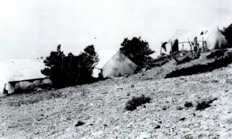
Bear Canyon was also the main way to access the Baldy Summit Inn, opened in 1910 by William B. Dewey, who was the first gringo to summit Mt Baldy in 1882. It cost $1 a night to stay at the inn, but burnt down in 1913.
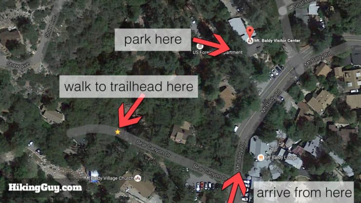
Getting to the Bear Canyon Trail
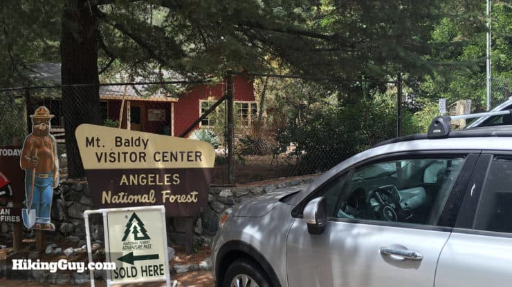
Use this as the trailhead address: 6778 Mt Baldy Rd, Mt Baldy, CA, 91759, USA.
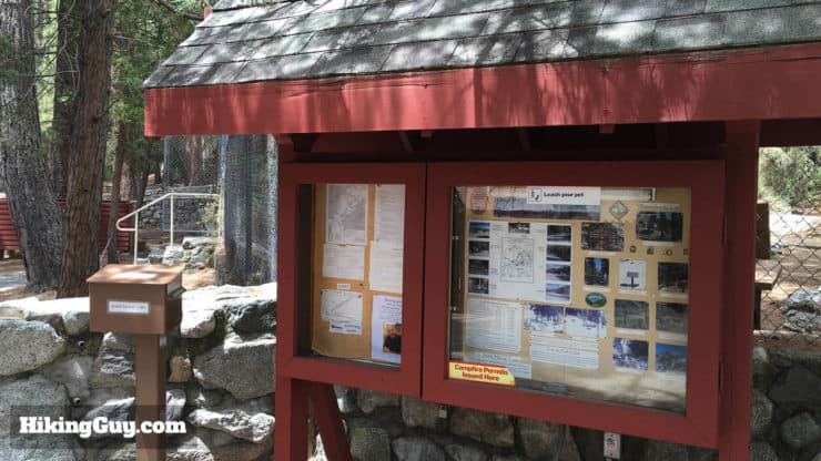
You need a parking pass for the lot. I use the affordable National Parks Pass, which gets me in every park, monument, and national forest. You can also use an (Southern California only) Adventure Pass, or buy a $5 day permit from the ranger’s office.
A Note on Parking
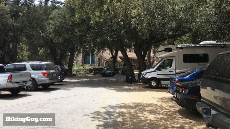
Parking here is tough. There are six spots in front of the Mt Baldy Visitor's Center where you can park and leave your car. You can try your luck along the road in other places, but beware of the "no parking" signs. The Mt Baldy Visitor's Center lot has a 20 minute maximum time. I would recommend calling the Mt Baldy Visitor's Center number (above) to confirm. The parking situation seems to change every so often here.
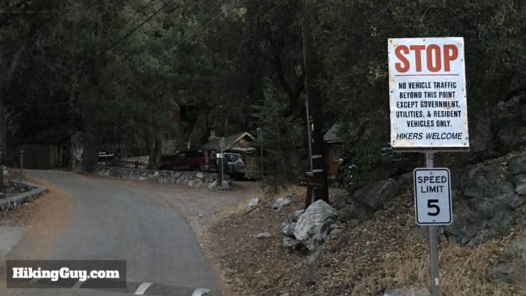
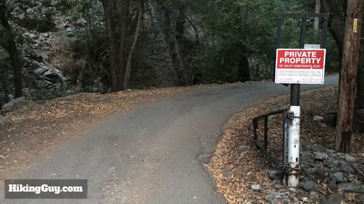
When I finished the hike from this trip report, I ran into some upset hikers. They had arrived before dawn, and the parking options and signs weren't so obvious. They saw a sign at the start of Bear Canyon Road that said "Private Road - Hikers Welcome" and assumed that meant they could park at the trailhead.
When they got back from their hike, a local (named "Mark" who lives on Bear Canyon Road) had left a really nasty and threatening note on their windshield. Yes, they made a mistake and parked in the wrong place. No, they didn't deserve a profanity-laced missive on where to park. So take care when parking and avoid the grumpy locals. And stay classy Mark.
Gear for the Hike
This is a tough backcountry hike and you need proper hiking gear. Bring at least 3L of water, food, and gear for changing conditions.
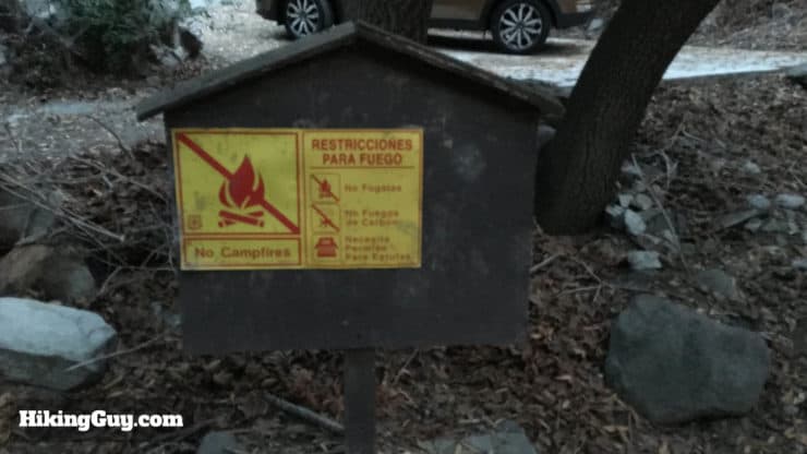
This is not a hike to do in bad or winter weather, unless you are very experienced in those conditions. The Bear Canyon Trail is exposed for much of the way, with some sheer drop-offs on either side. People die here, don't take any risks.
If you want to check if there's snow on your hike, read this guide.
Gear That I Love Right Now
Nothing is sponsored or promoted, just the actual gear that I use.


Check out the complete list here. ( Updated October 2024)
Bear Canyon Trail to Mt Baldy Trail Maps
How Will You Navigate?
 Using the Apple Watch for Hiking
 Garmin Fenix 7 & Epix Review For Hikers
 How To Read a Topographic Map
 Garmin GPSMAP 67i Review
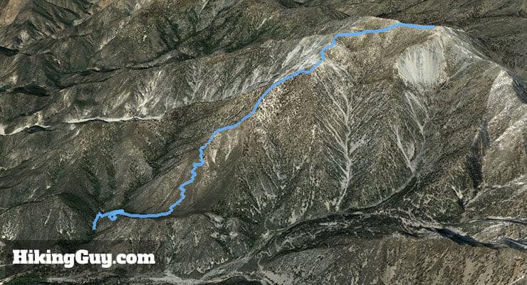
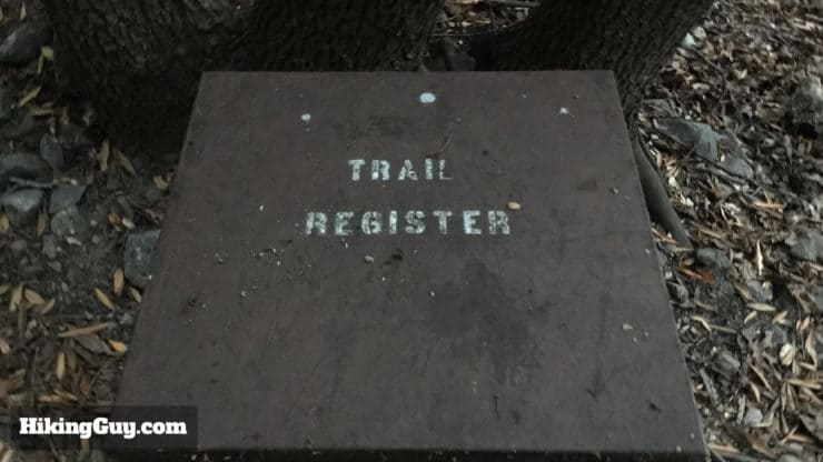
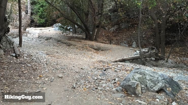
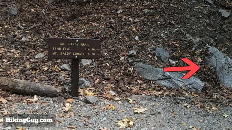
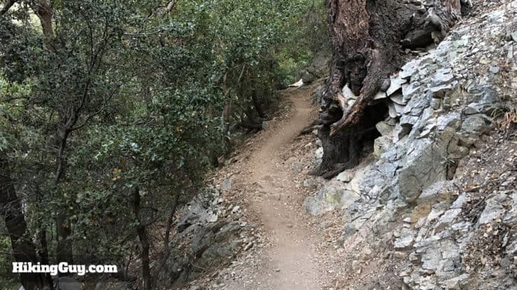
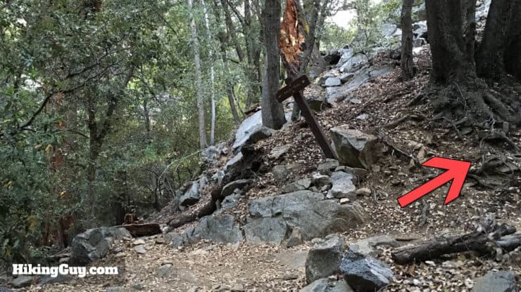
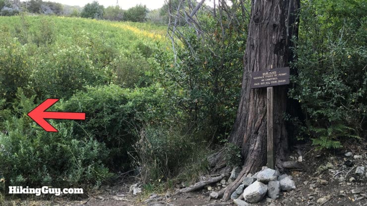
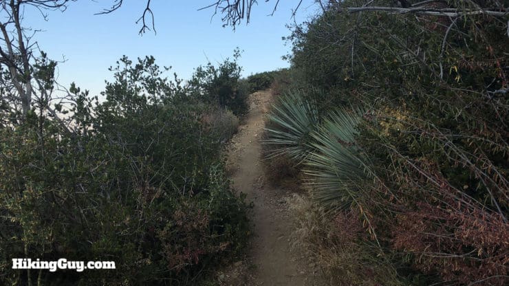
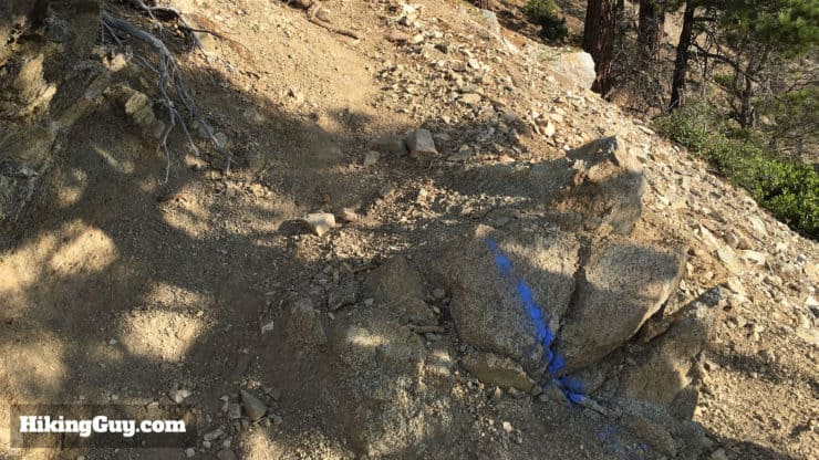
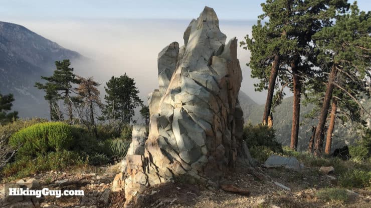
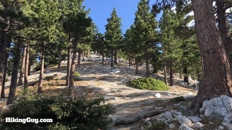
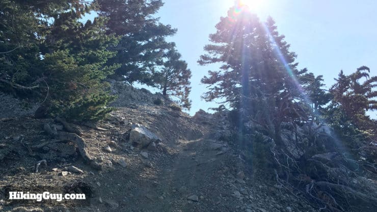
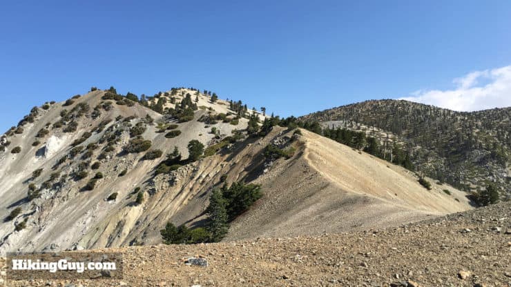
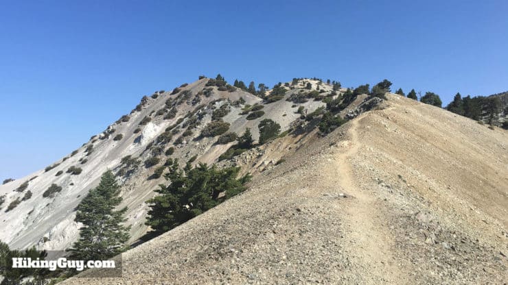
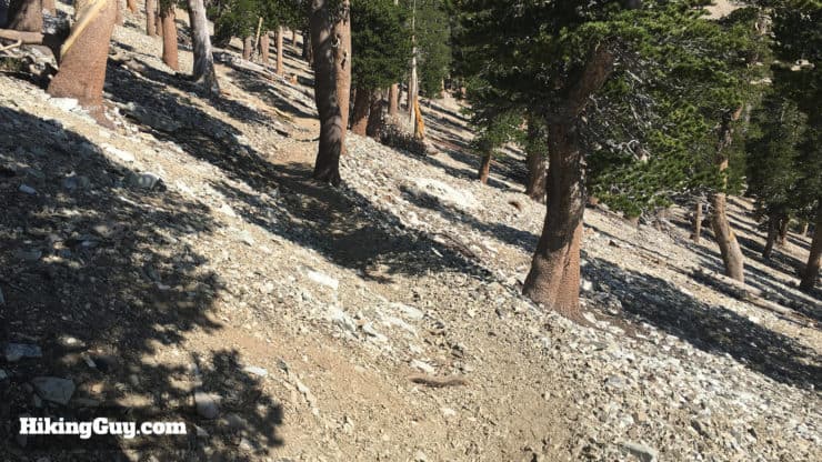
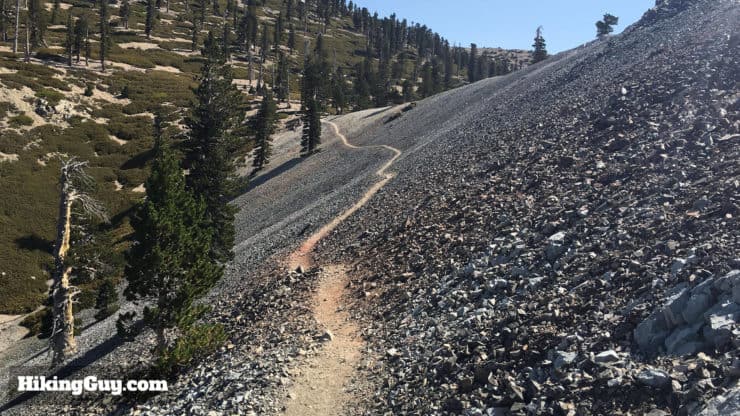
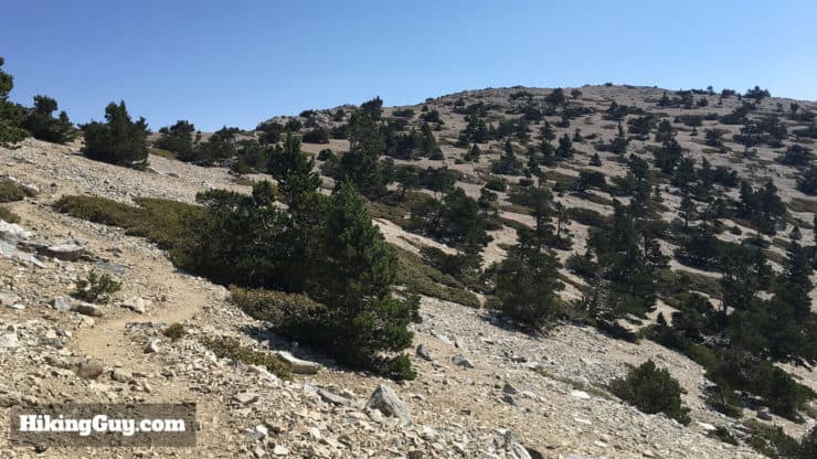
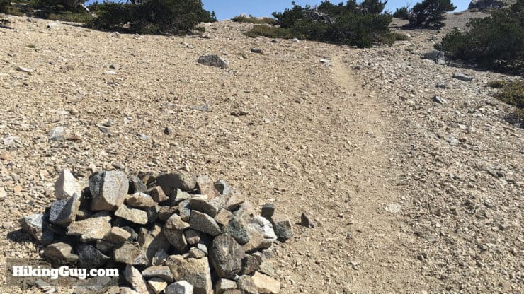
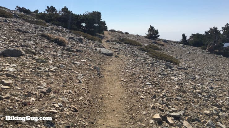
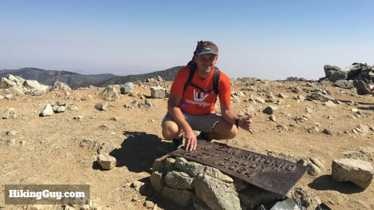
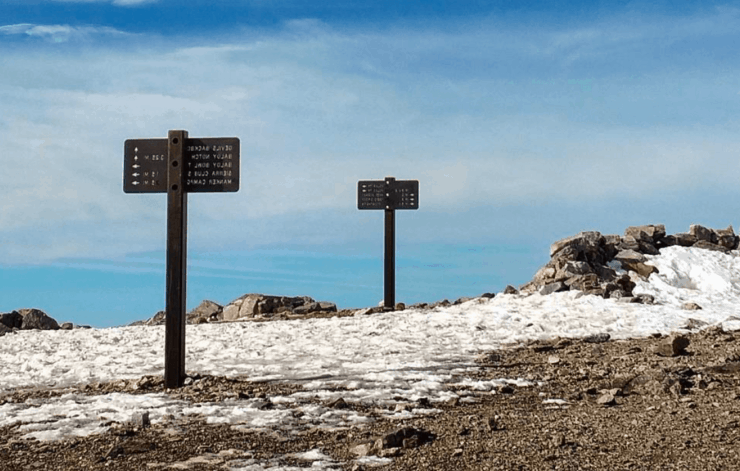
Bear Canyon Trail to Mt Baldy Hike Directions
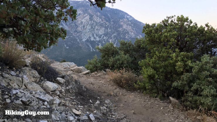
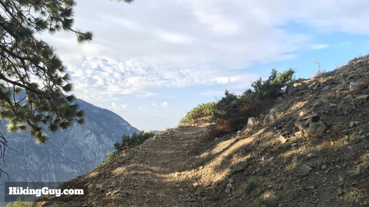
Most of the peaks you sea around you can be hiked. The Three Tees are directly to the right of Baldy. And across the valley are Bighorn and Ontario Peaks. All great hikes without big crowds.

Need More Info?
- Have a question about the guide? Join my Patreon and ask me a question.
- When planning, always check the park website and social media to make sure the trails are open. Similarly, check the weather and road conditions.
- Do you have an update to this guide? View the Youtube comments for this video. Leave a comment and I will do my best to update the guide.
Related Guides
 Mt Baldy Hike
 Cucamonga Peak Hike
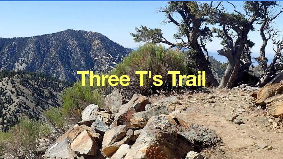 Hike the Three T's Trail
 Baldy Bowl Trail (Ski Hut Trail) to Mt Baldy
 Los Angeles Hikes
 Angeles National Forest Hikes
 LA Mountain Hikes
 San Gabriel Mountains National Monument Hiking
Popular Guides
 Best Hiking Gear 2024
 Hiking Boots or Shoes: Do I Really Need Hiking Boots?
 When to Hit SOS on inReach
This Guide Was Written by Cris Hazzard

Hi, I'm Cris Hazzard, aka Hiking Guy, a professional outdoors guide, hiking expert, and author based in Southern California. I created this website to share all the great hikes I do with everyone else out there. This site is different because it gives detailed directions that even the beginning hiker can follow. I also share what hiking gear works and doesn't so you don't waste money. I don't do sponsored or promoted content; I share only the gear recommendations, hikes, and tips that I would with my family and friends. If you like the website and YouTube channel, please support these free guides (I couldn't do it without folks like you!). You can stay up to date with my new guides by following me on YouTube, Instagram, or by subscribing to my monthly newsletter.