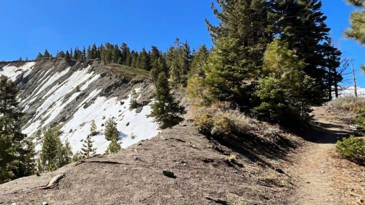

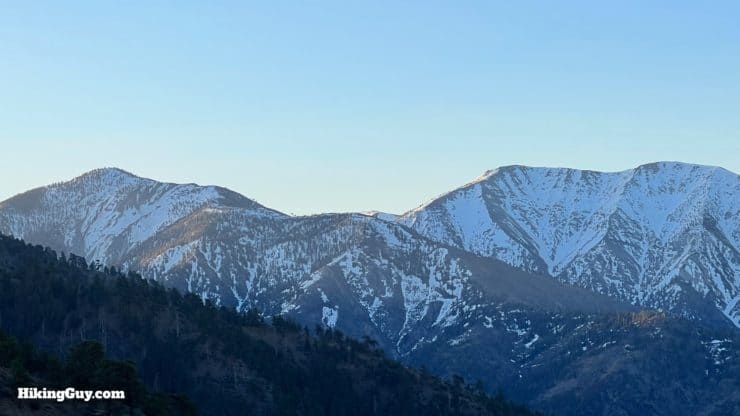
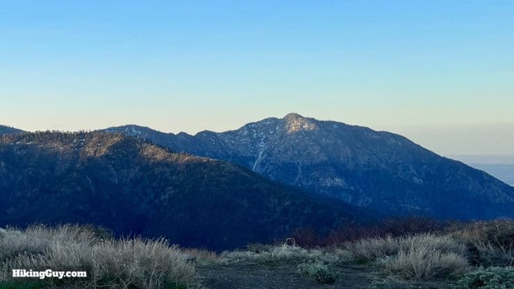
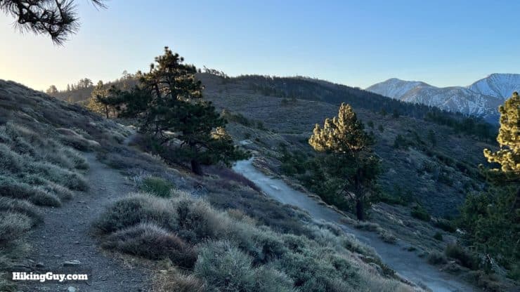
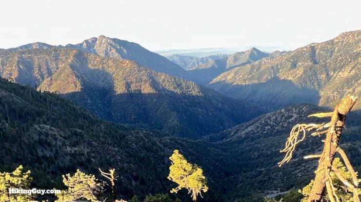
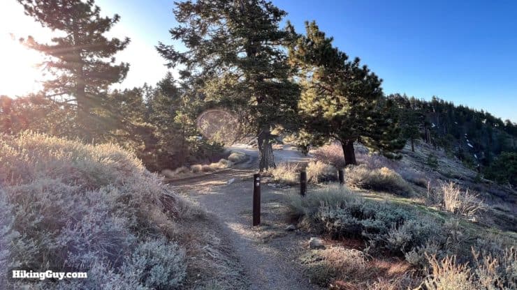
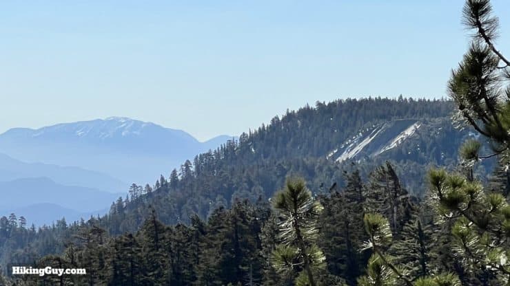
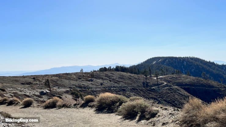
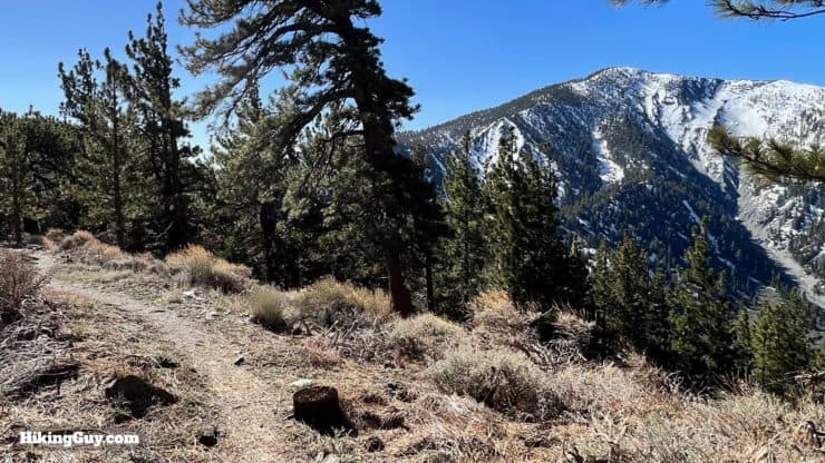
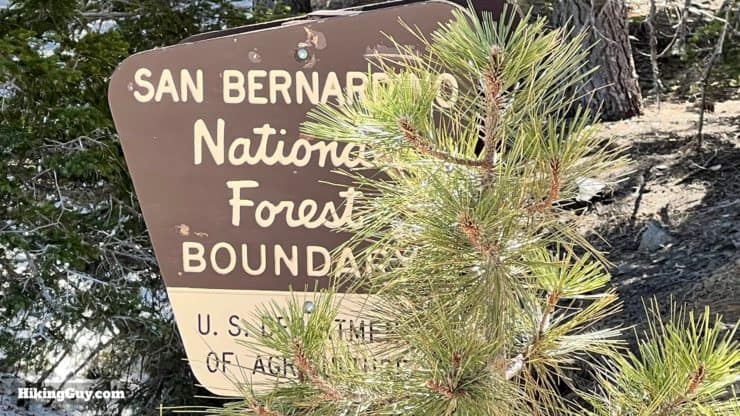
While there are several ways to summit Wright Mountain in the San Gabriel Mountains, this route from Inspiration Point is my favorite. You'll follow the spine known as the Blue Ridge, which is packed with views of the surrounding high peaks, and you'll get to experience the iconic PCT along the way. It's also one of the rare hikes in the area that traverses Angeles NF and San Bernardino NF on the same trail.
- Video and Turn-by-Turn Directions to Hike Wright Mountain
- Parking at the Inspiration Point Trailhead
- Insider Tips & Recommendations
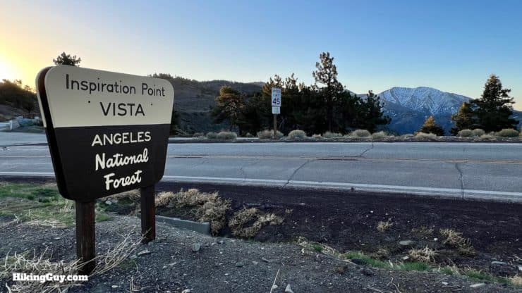
Where is the Inspiration Point Trailhead?
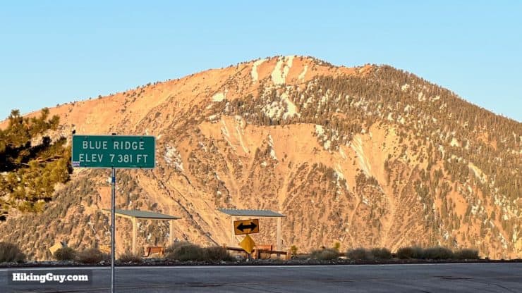
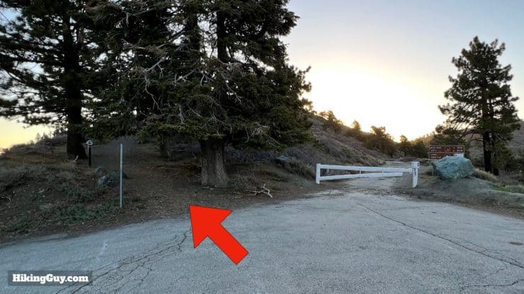
One of the reasons I like this route to Wright Mountain is that there is plenty of parking at the Inspiration Point Trailhead off Angeles Crest Highway. Inspiration Point is 5 miles west of the town of Wrightwood. Use this trailhead address:
Inspiration Point Trailhead, Angeles National Forest, Blue Ridge Truck Trail, Valyermo, CA 93563
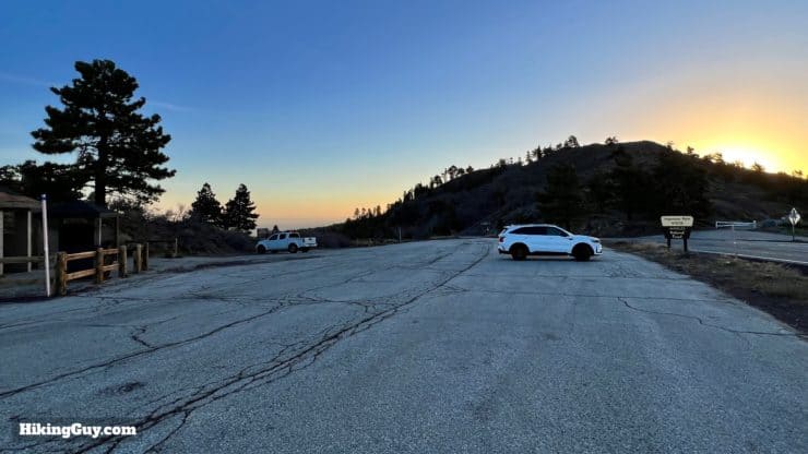
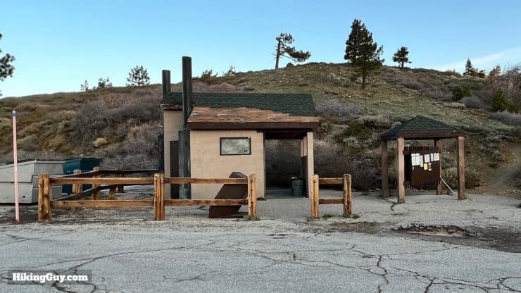
You need a National Parks Pass or Adventure Pass to park here.
Gear For the Hike
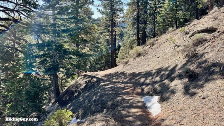
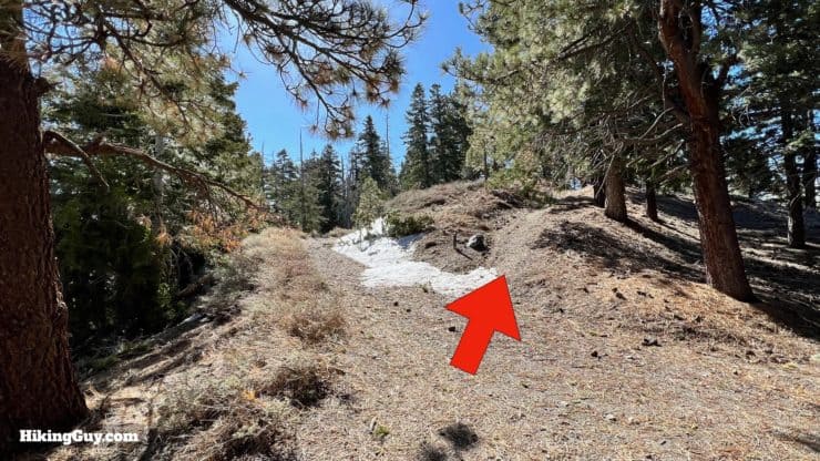
This is a mountain hike, and you need to prepare accordingly. Bring 3L of water, clothing for high altitude conditions, and trekking poles. In the winter, this area can be closed, and lingering snow can make the PCT treacherous in the shoulder seasons. If there is a chance of snow or ice, carry micro-spikes.
Gear That I Love Right Now
Nothing is sponsored or promoted, just the actual gear that I use.


Check out the complete list here. ( Updated October 2024)
Wright Mountain Trail Maps
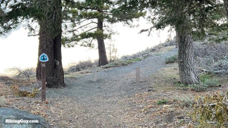
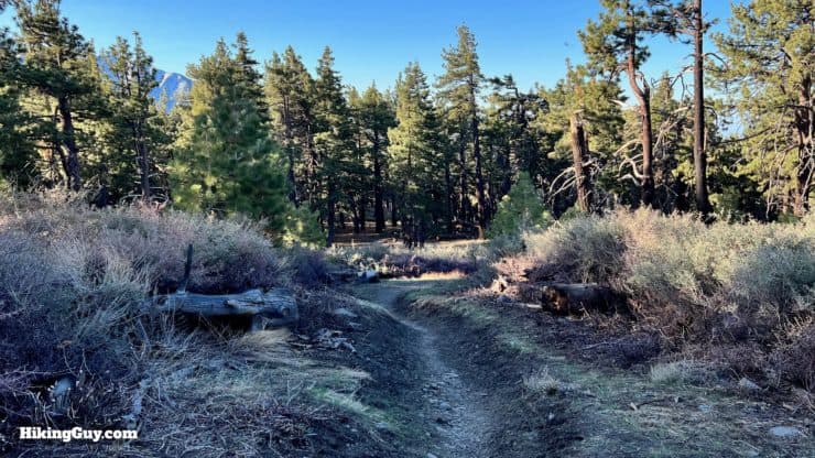
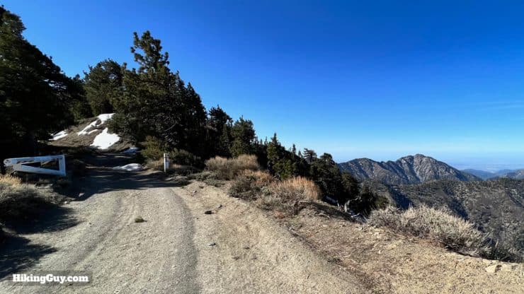
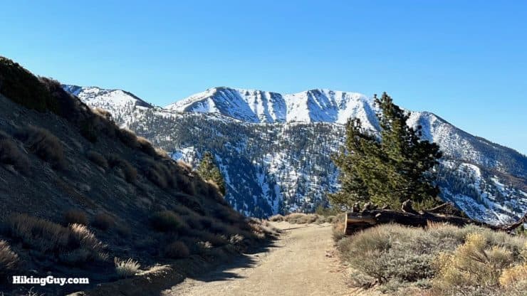
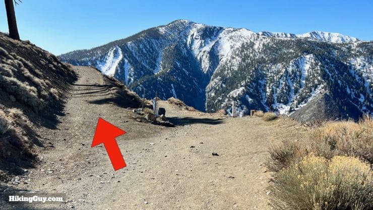
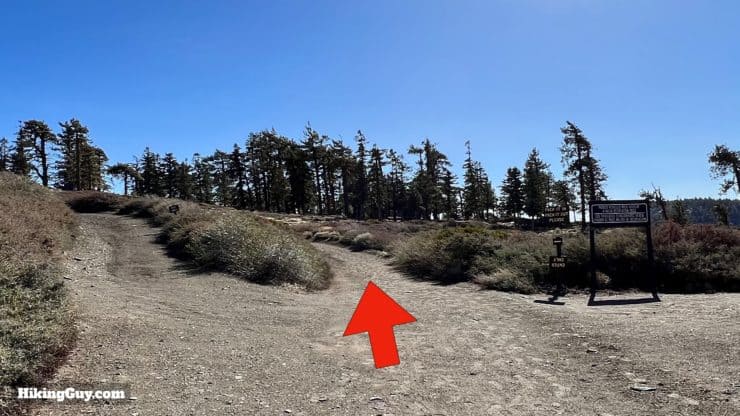
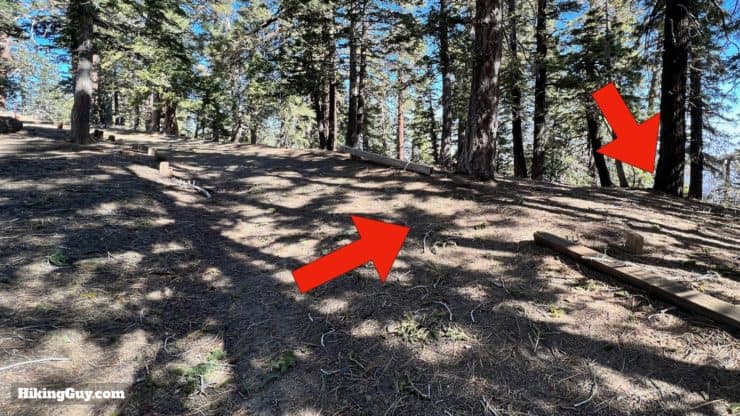
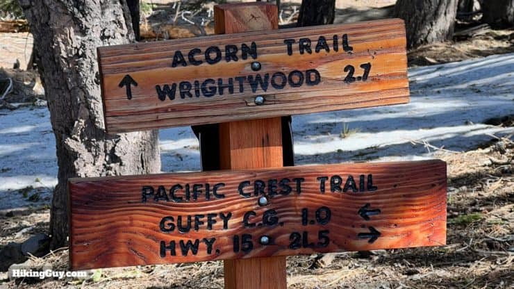
Overall, navigation is relatively simple here. We're mainly following the PCT along Blue Ridge to a turn-off for Wright Mountain. There's one section where we'll hop on East Blue Ridge Road, a small dirt road that gets minimal traffic when open in the summer. The final push to Wright Mountain summit is on a small use trail.
How Will You Navigate?
 Using the Apple Watch for Hiking
 Garmin Fenix 7 & Epix Review For Hikers
 How To Read a Topographic Map
 Garmin GPSMAP 67i Review
Elevation Profile
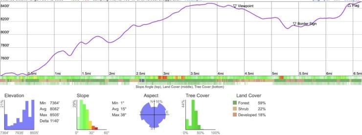
Landmarks on the Hike
| Landmark | Distance | Elevation |
|---|---|---|
| Trailhead | 0 | 7381 |
| Ski Area | 1.1 | 7741 |
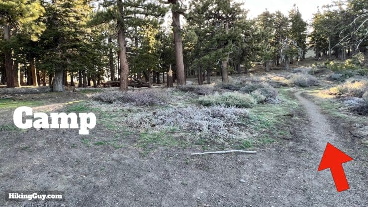
| Blue Ridge Camp | 2.1 | 7900 |
| Hop on Road | 3.9 | 8460 |
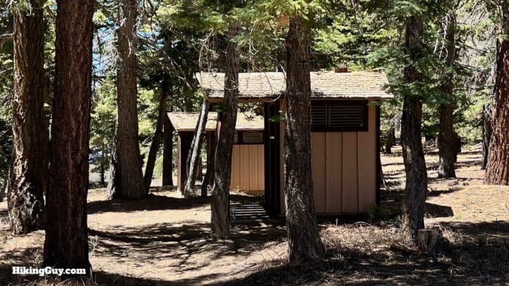
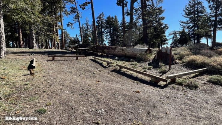
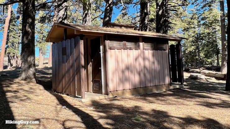
| Guffy Camp | 4.9 | 8250 |
| Acorn Trail | 6.1 | 8250 |
| Wright Mountain | 7 | 8505 |
3D Map
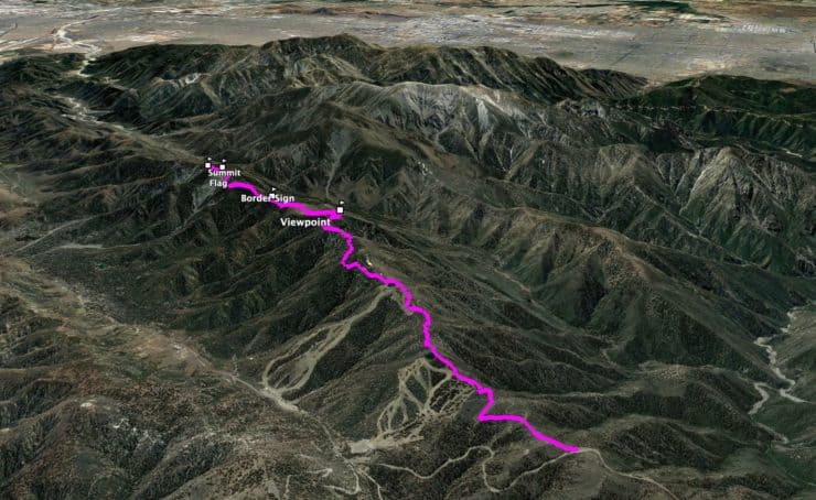
Alternate Return
If you'd like to avoid some of the up and down on the way back, you can follow East Blue Ridge Road back. It will wind back and forth over the ridge, but the gradients are smooth and gradual. Or you can choose to hop on and off the PCT and road as you go. The views from the road tend to be better than from the PCT on the way back.
Hike Brief
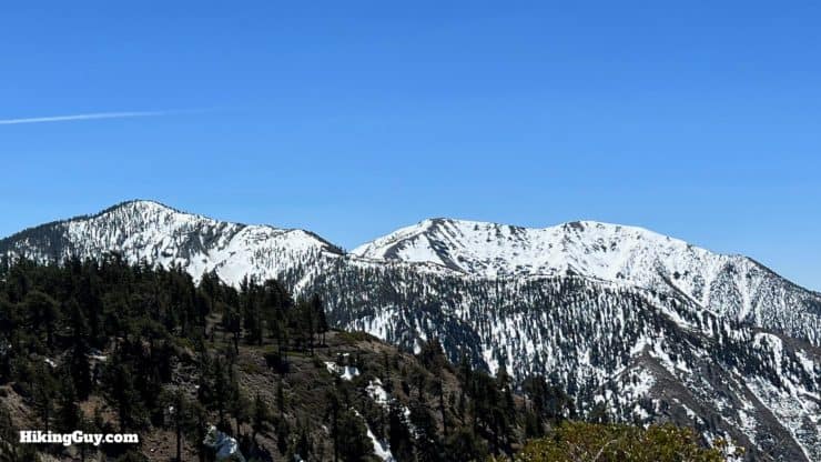
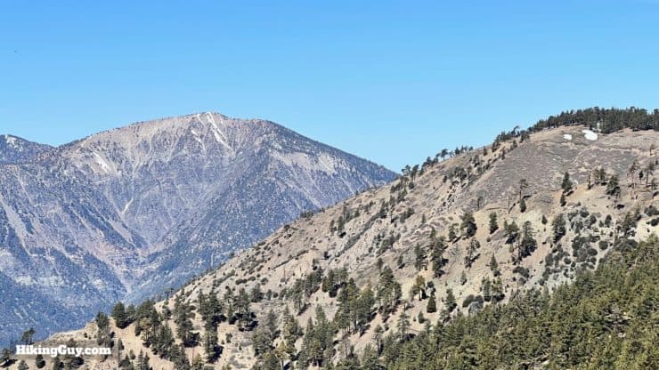
- Wright Mountain is the high point along the Blue Ridge formation, connecting the Baden-Powell high country to the San Antonio high country. Blue Ridge is named for the color of the rock, a distinctive blue-gray Pelona schist.
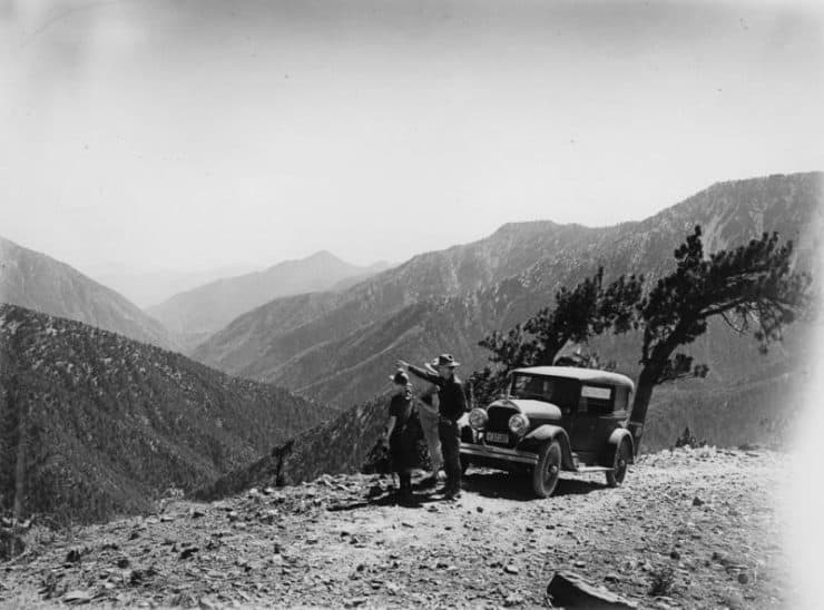
- The larger area that we hike through, including the ski areas down in the valley, was once known as the Big Pines Recreation Camp. Built in 1923 by the LA County Board of Supervisors, this area would attract 10,000 people on a busy weekend. Over the years the area was handed over to Forest Service and the ski areas became Mountain High Ski Resort. Today the beautiful views along this hike go unknown to most tourists, but the campgrounds remain for those in the know.
- Wright Mountain is named after the town below it, Wrightwood. Wrightwood is named after Sumner Wright, who bought a large property in the valley in 1906. When he hit hard times in the 1920s, he subdivided his land and created housing lots, which became Wrightwood.
- Wright Mountain is disappearing. Heavy rains, freeze-thaw patterns, and seismic activity from the nearby San Andreas Fault have been breaking chunks of the mountain off over the years, causing mudslides and debris flows into Wrightwood below. The rock along the Blue Ridge has moved about 350 miles along the fault over the last 11 million years.
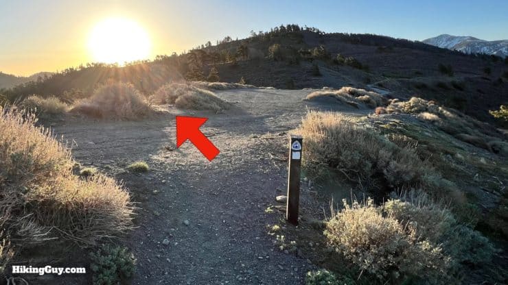
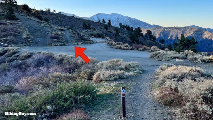
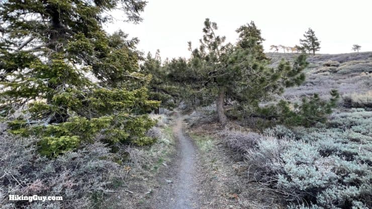
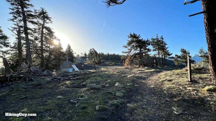
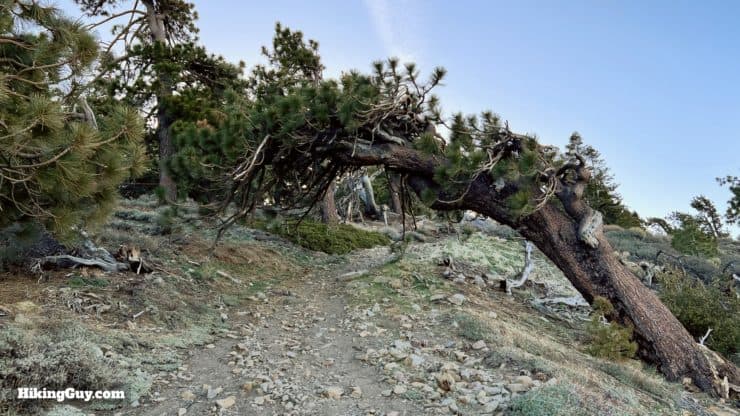
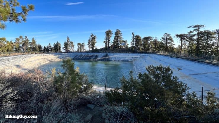
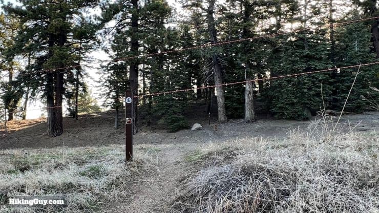
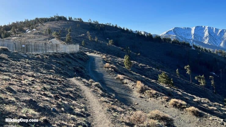
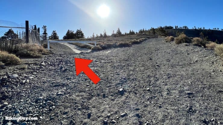
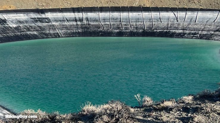
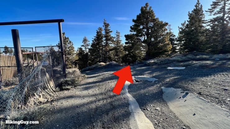
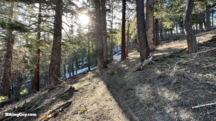
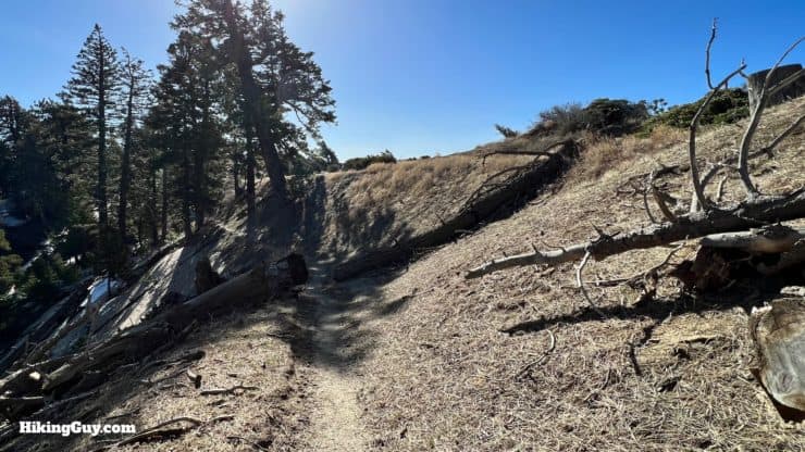
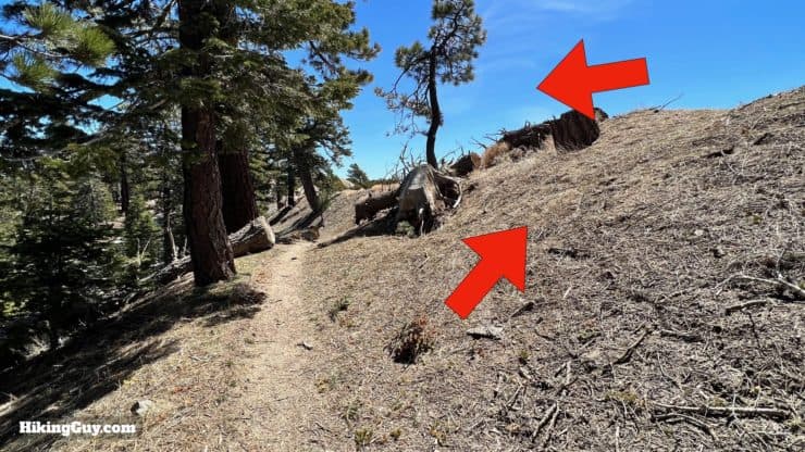
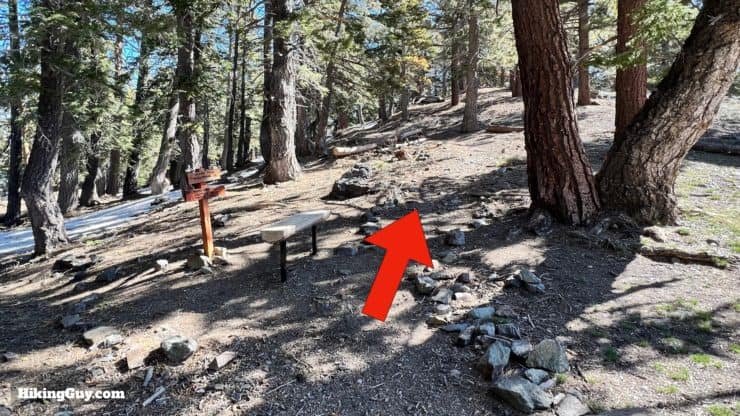
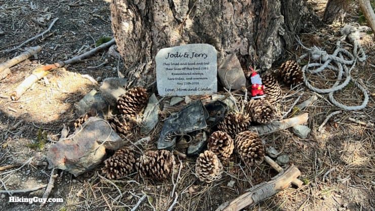
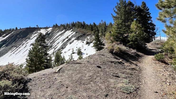
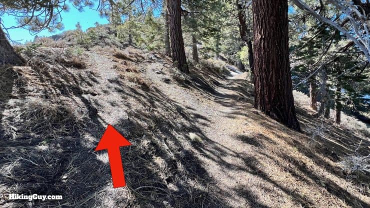
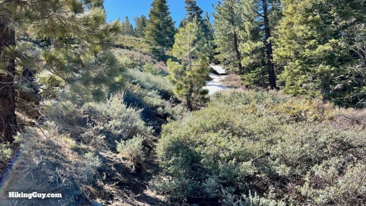
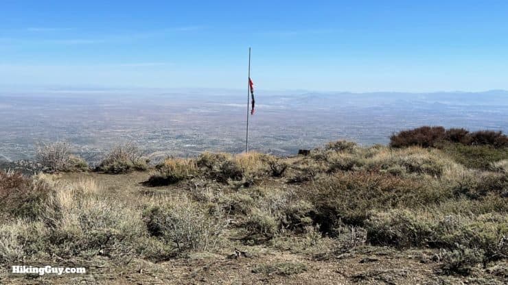
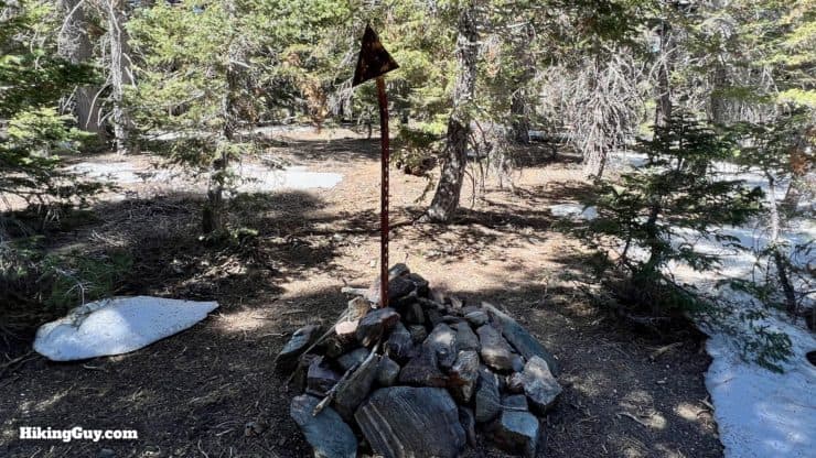
Wright Mountain Hike Directions
The first chair lifts were built here in the late 1920s in preparation for the 1932 Olympics. However, the lack of snow in the mountains changed the venue to Lake Placid.
Guffy Camp is named after Samuel Guffy, who homesteaded in the valley and sold his land to Sumner Wright, Wrightwood's namesake.
From here just go back the way you came.
Need More Info?
- Have a question about the guide? Join my Patreon and ask me a question.
- When planning, always check the park website and social media to make sure the trails are open. Similarly, check the weather and road conditions.
- Do you have an update to this guide? View the Youtube comments for this video. Leave a comment and I will do my best to update the guide.
Related Guides
 Mt Hawkins Loop Hike (Hawkins, Middle, and South Mount Hawkins)
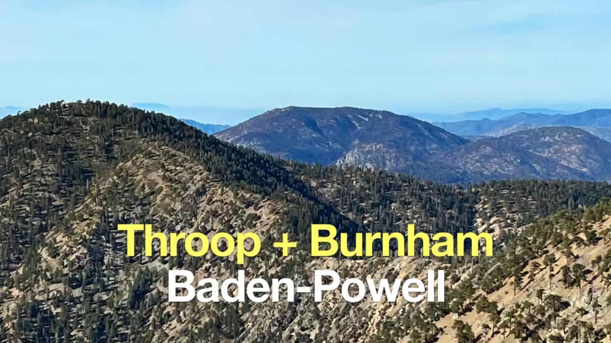 Throop Peak + Mount Burnham + Baden-Powell From Dawson Saddle
 Los Angeles Hikes
 Angeles National Forest Hikes
 LA Mountain Hikes
 San Bernardino National Forest Hiking Trails
 San Gabriel Mountains National Monument Hiking
 Sierra Club 100 Peaks
Popular Guides
 Best Hiking Gear 2024
 Hiking Boots or Shoes: Do I Really Need Hiking Boots?
 When to Hit SOS on inReach
This Guide Was Written by Cris Hazzard

Hi, I'm Cris Hazzard, aka Hiking Guy, a professional outdoors guide, hiking expert, and author based in Southern California. I created this website to share all the great hikes I do with everyone else out there. This site is different because it gives detailed directions that even the beginning hiker can follow. I also share what hiking gear works and doesn't so you don't waste money. I don't do sponsored or promoted content; I share only the gear recommendations, hikes, and tips that I would with my family and friends. If you like the website and YouTube channel, please support these free guides (I couldn't do it without folks like you!). You can stay up to date with my new guides by following me on YouTube, Instagram, or by subscribing to my monthly newsletter.