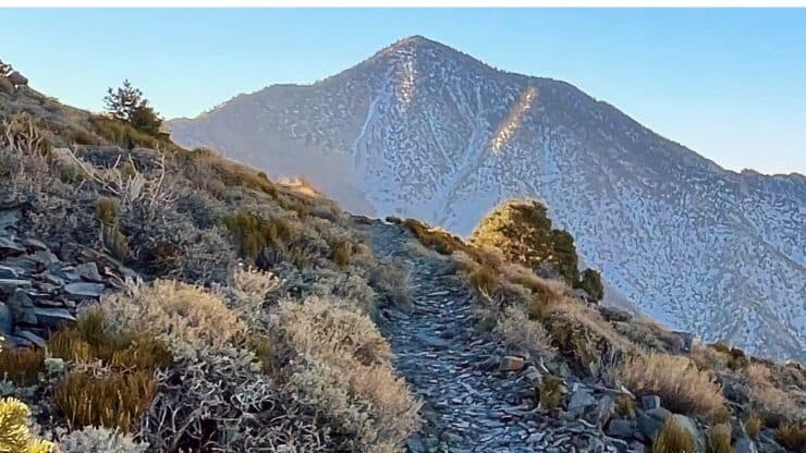

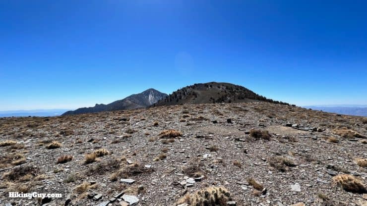
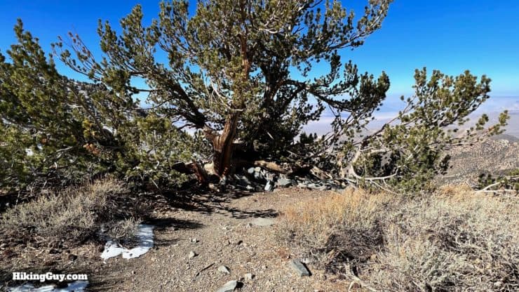
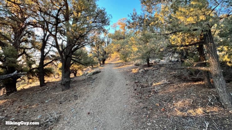
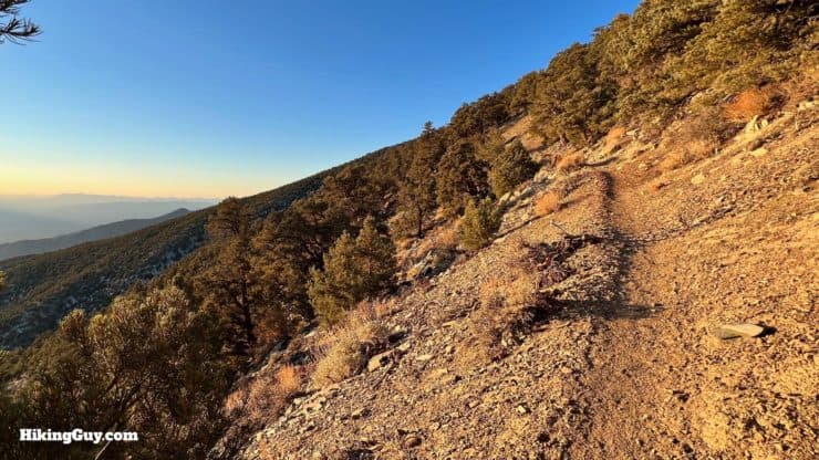
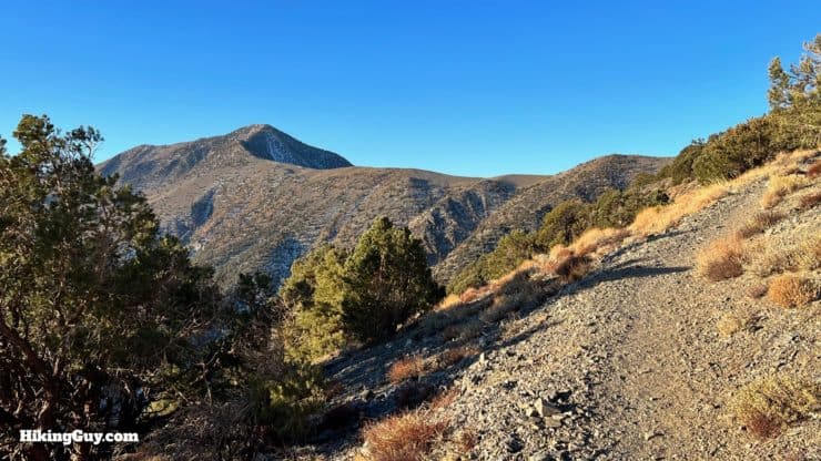
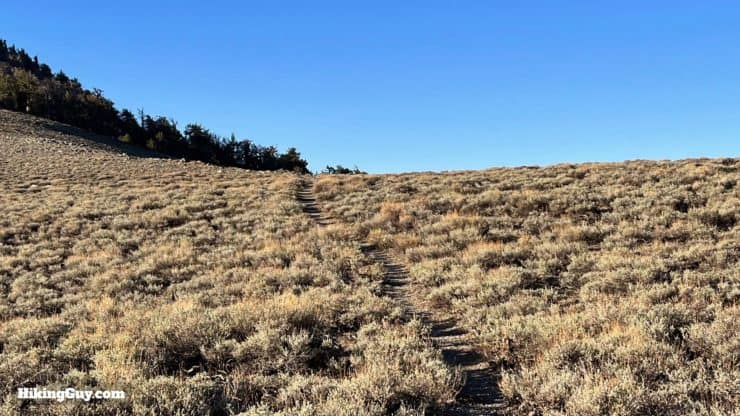
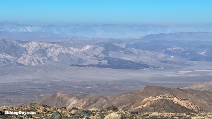
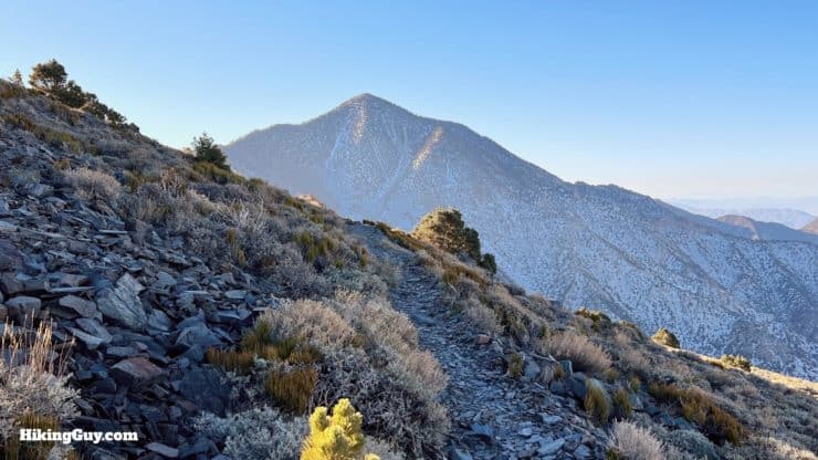
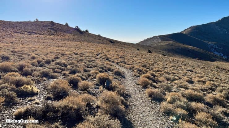
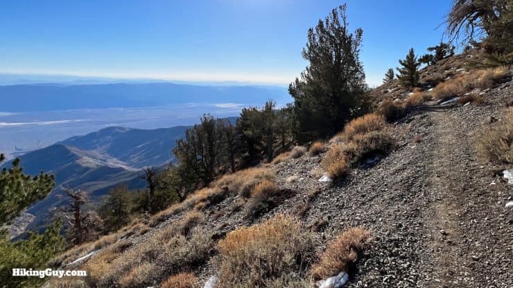
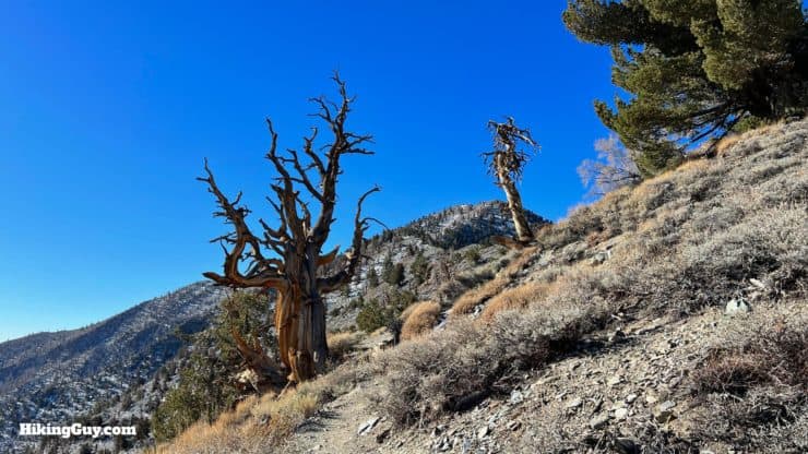
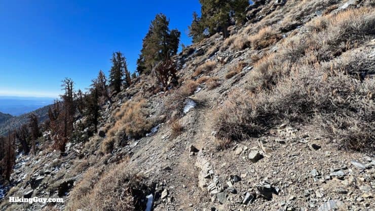
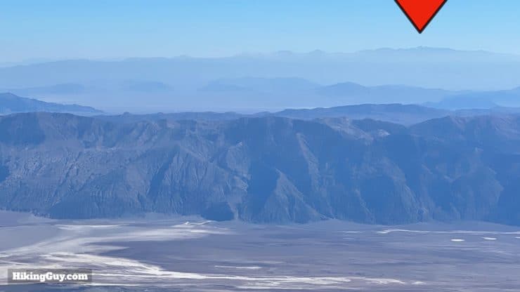
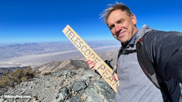
Offering dramatic views into some of the most dramatic landscapes in the world, the beauty of the Telescope Peak hike will leave you breathless. You'll hike up a well-maintained trail to Death Valley's highest point, Telescope Peak, towering eleven-thousand feet over the lowest point in the USA, Badwater Basin. The trail passes through alpine meadows, amongst ancient bristlecone pines, along rocky ridges, and ends at an epic panoramic peak. Add Telescope Peak to your bucket list if you haven't done it already.
- Video and Turn-by-Turn Directions for the Telescope Peak Hike
- Getting to the Telescope Peak Hike Trailhead
- Insider Tips and Planning Info
Where is the Telescope Peak Hike?
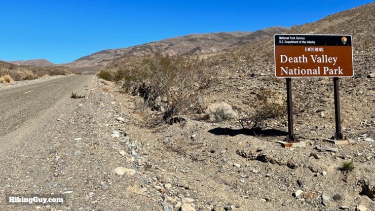
The short answer is that this hike is about as far away from anything as you can be. Specifically it's in the western part of Death Valley National Park, the largest National Park in the lower-48. The hike starts from the Mahogany Flat Campground. Use this trailhead address:
Mahogany Flat Campground, Death Valley, CA, 92328
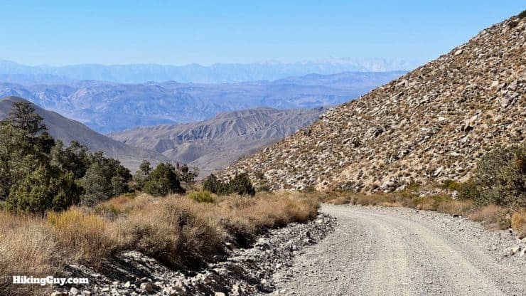
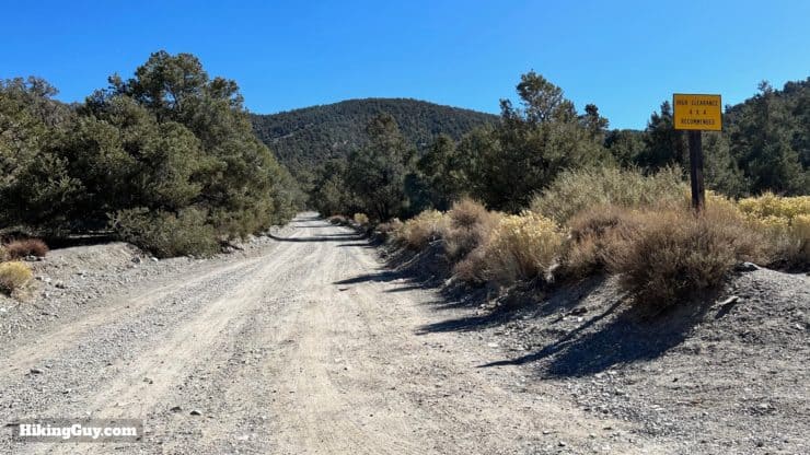
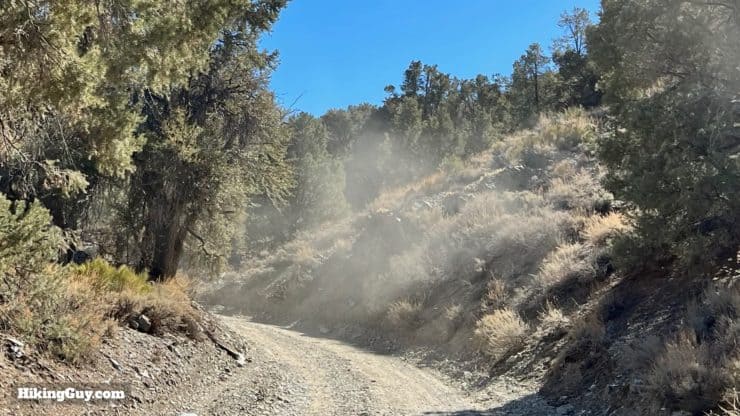
The road to Mahogany Flat can be closed from late fall to late spring because of snow. Check the park website before you drive all the way out here.
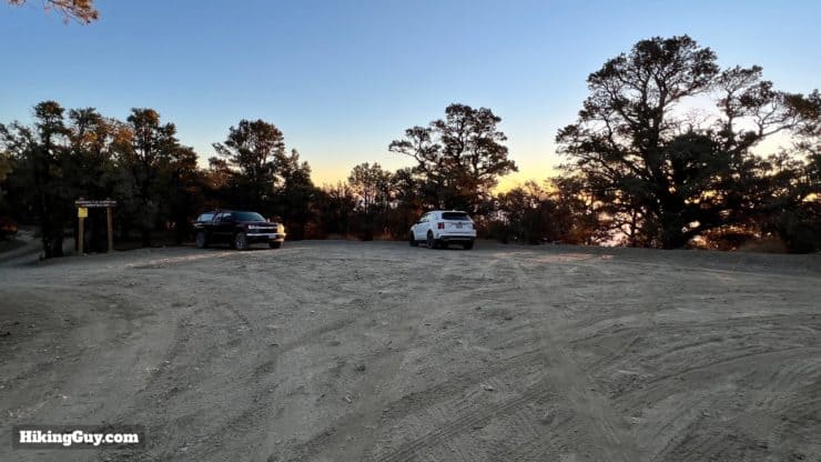
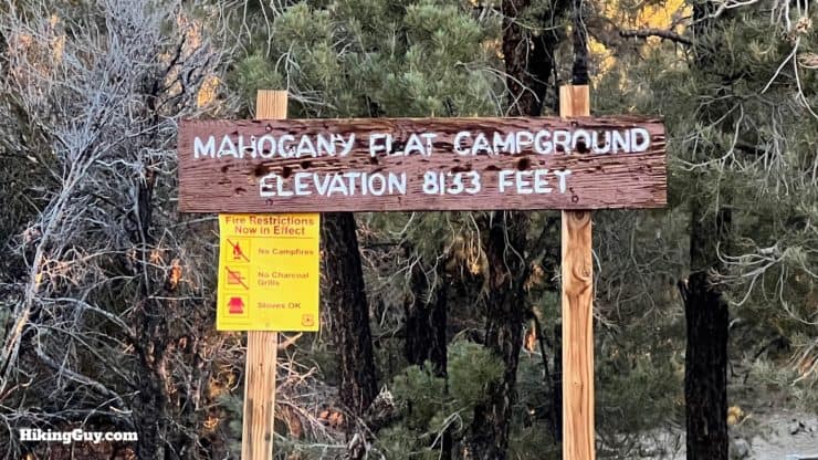
Mahogany Flat Campground is free, first-come-first-serve, offers pit toilets, but no water.
Gear For the Hike
You're truly in the backcountry here, so prepare accordingly.
- Bring all the water you need, including water for before and after the hike. I carry 3L of water on the hike.
- Don't confuse Death Valley weather with Telescope Peak weather. It's often 40-60F cooler at these elevations, and frequent wind can make it even colder. And as I mentioned, it's often snowed in and closed for a large part of the year. I usually carry basic winter gear including a puffer jacket, knit hat, and gloves.
- Trekking poles will help on the slopes.
- The sun can be harsh as it bounces off the desert below.
- If there are thunderstorms, lightning will be striking along the ridge, so you'll want to bail quickly.
Gear That I Love Right Now
Nothing is sponsored or promoted, just the actual gear that I use.


Check out the complete list here. ( Updated July 2024)
Camping on Telescope Peak
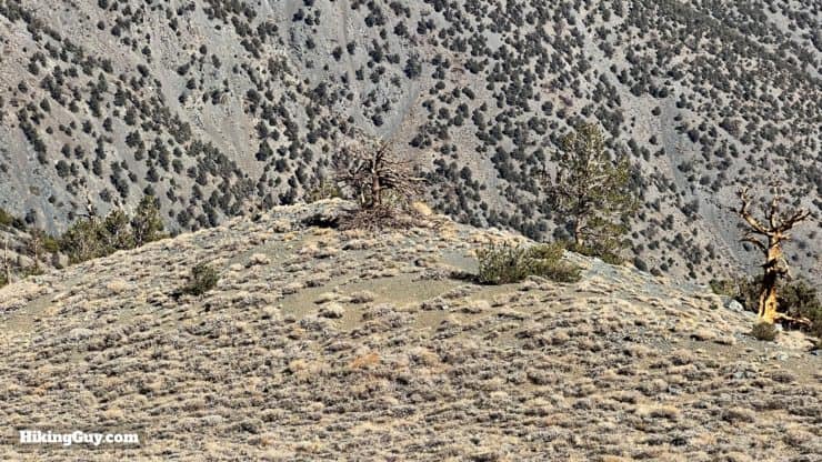
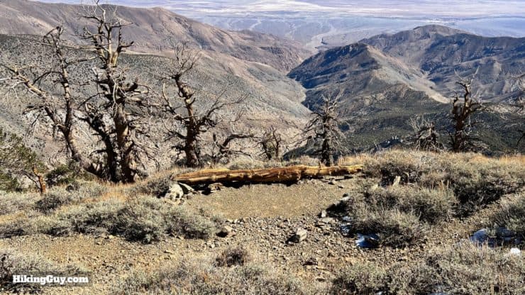
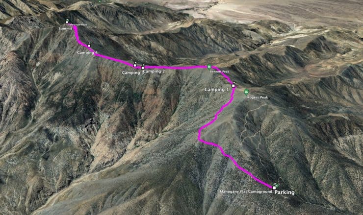
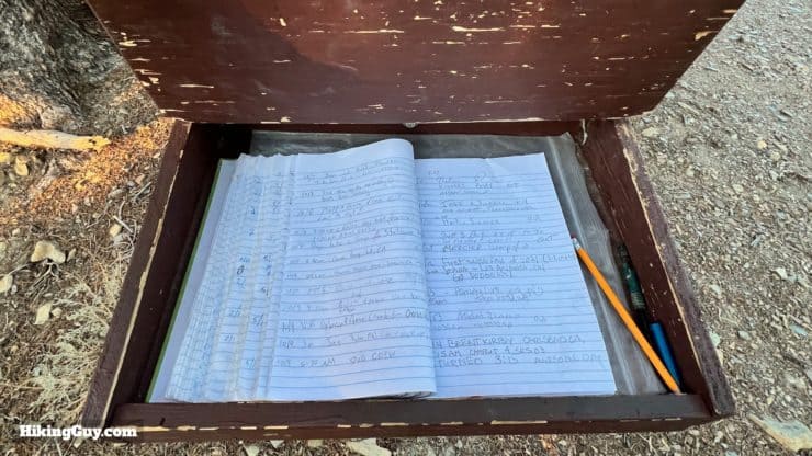
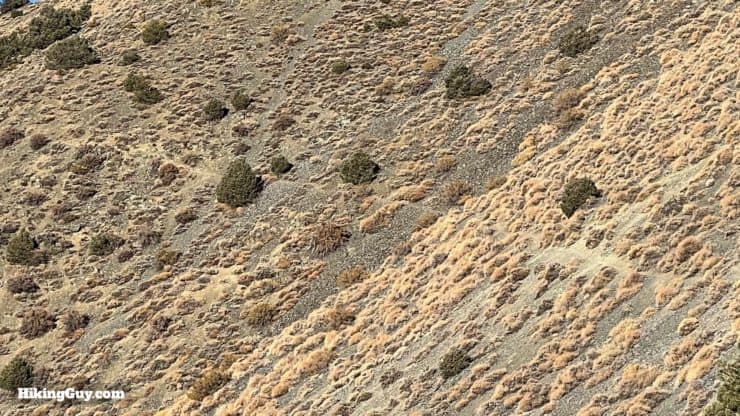
The dramatic landscape and incredible views make the Telescope Peak Trail a popular option for backcountry camping. You can overnight it with your car at the Mahogany Flat Campground, or hike to a primitive tent site along the trail, which is free. Permits are optional but prudent in case of an emergency.
There are many places to camp, and I would recommend finding an existing tent site to minimize your impact on this fragile environment. Also note that the Telescope Peak Trail can get very windy; it can be hard to sleep with the winds whipping the way they do. I've highlighted a handful of decent tent sites on the map, and have some pictures of them below.
Telescope Peak Trail Maps
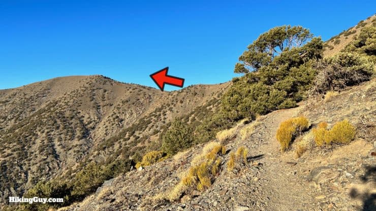
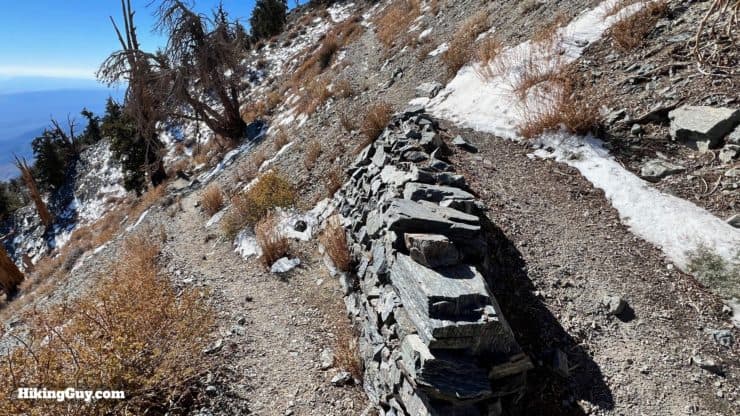
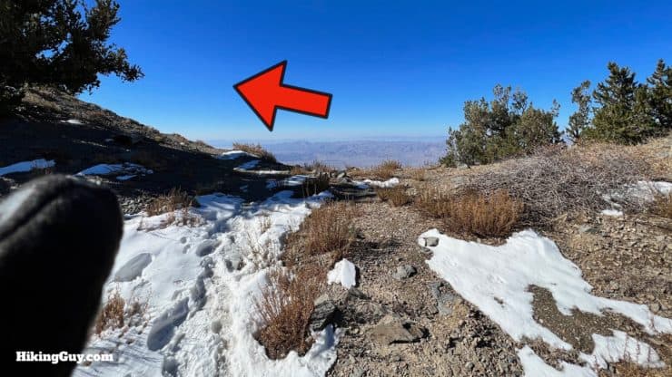
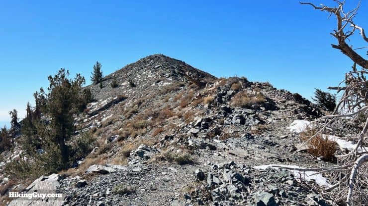
Overall the Telescope Peak Trail is in great condition, maintained by the Park Service, and a one-way shot to the summit without any (official) junctions or side trails. Just hop on the trail and follow it until you get to the summit.
How Will You Navigate?
 Using the Apple Watch for Hiking
 Garmin Fenix 7 & Epix Review For Hikers
 How To Read a Topographic Map
 Garmin GPSMAP 67i Review
Elevation Profile
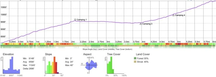
Landmarks on the Hike
| Landmark | Distance | Elevation |
|---|---|---|
| Trailhead | 0 | 8133 |
| Arcane Meadows and Saddle | 2.1 | 9680 |
| Clear Bennett Peak | 3.5 | 9530 |
| Start Final Climb | 5 | 10110 |
| Summit | 6.2 | 11049 |
3D Map
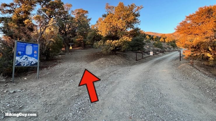
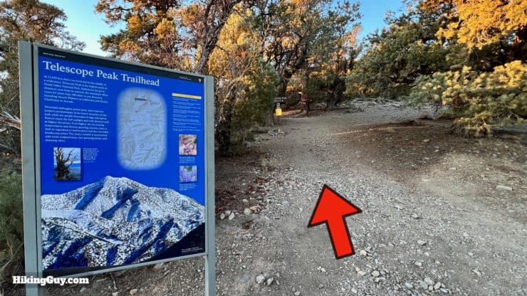
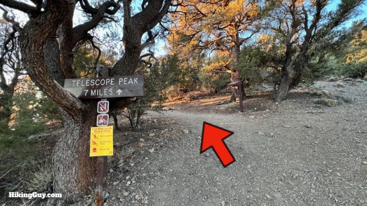
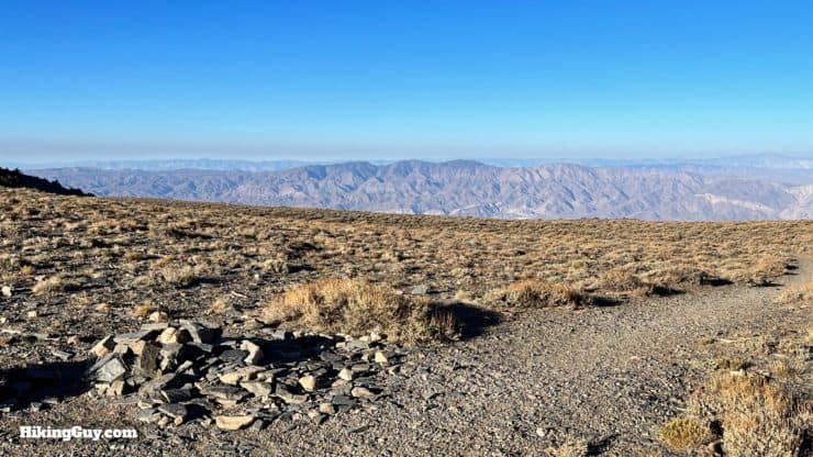
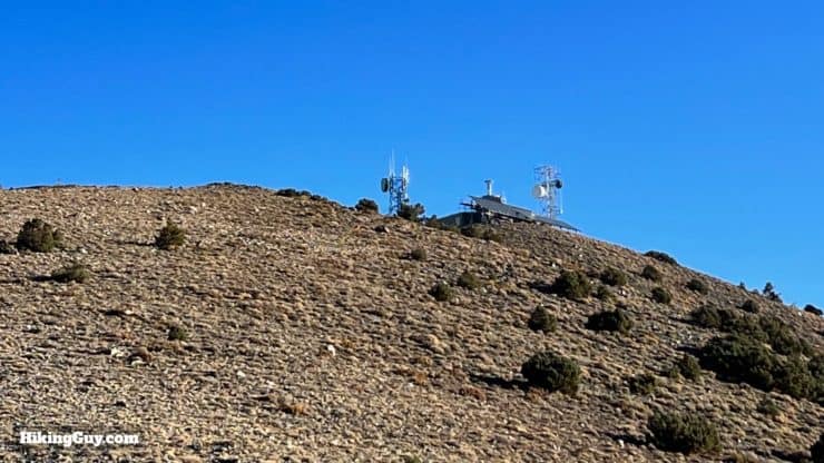
Telescope Peak Hike Directions
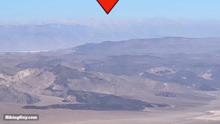
Who were Arcane, Rogers, and Bennett? They were all part of a party that headed west in search of gold and homesteading, back in 1849. Worried about taking the northern route after the tragedy of the Donner Party, they chose instead to take a southern route through the area here. When they reached the Panamint Mountains (where you are now), they assumed they were impassable, and they decided to stayed put. Eventually the party were able to continue on, but not after naming the area "Death Valley," the name which sticks today.
No, Panamint is not named after a breath mint. The mountain range was named after a local Native American word in 1861 by the Darwin-French party.
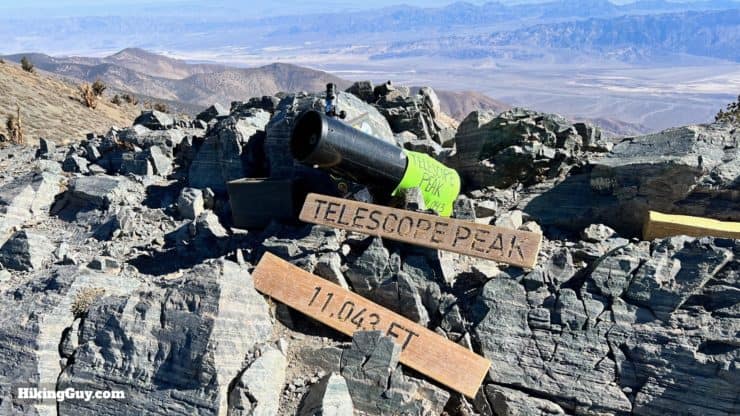
Telescope Peak is named that because from the summit, it's as if you're looking through a telescope.
Need More Info?
- Have a question about the guide? Join my Patreon and ask me a question.
- When planning, always check the park website and social media to make sure the trails are open. Similarly, check the weather and road conditions.
- Do you have an update to this guide? View the Youtube comments for this video. Leave a comment and I will do my best to update the guide.
Related Guides
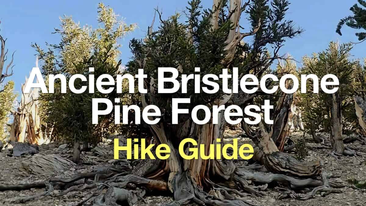 Ancient Bristlecone Pine Forest Hike
 Mt Whitney Hike
 Mt Charleston Peak Hike - South Loop Trail
 Red Mountain Hike (Mojave Desert)
 Golden Canyon and Gower Gulch Loop Hike
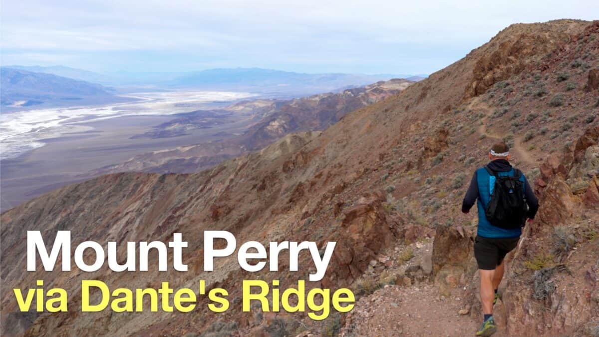 Hike Mount Perry from Dante's Ridge
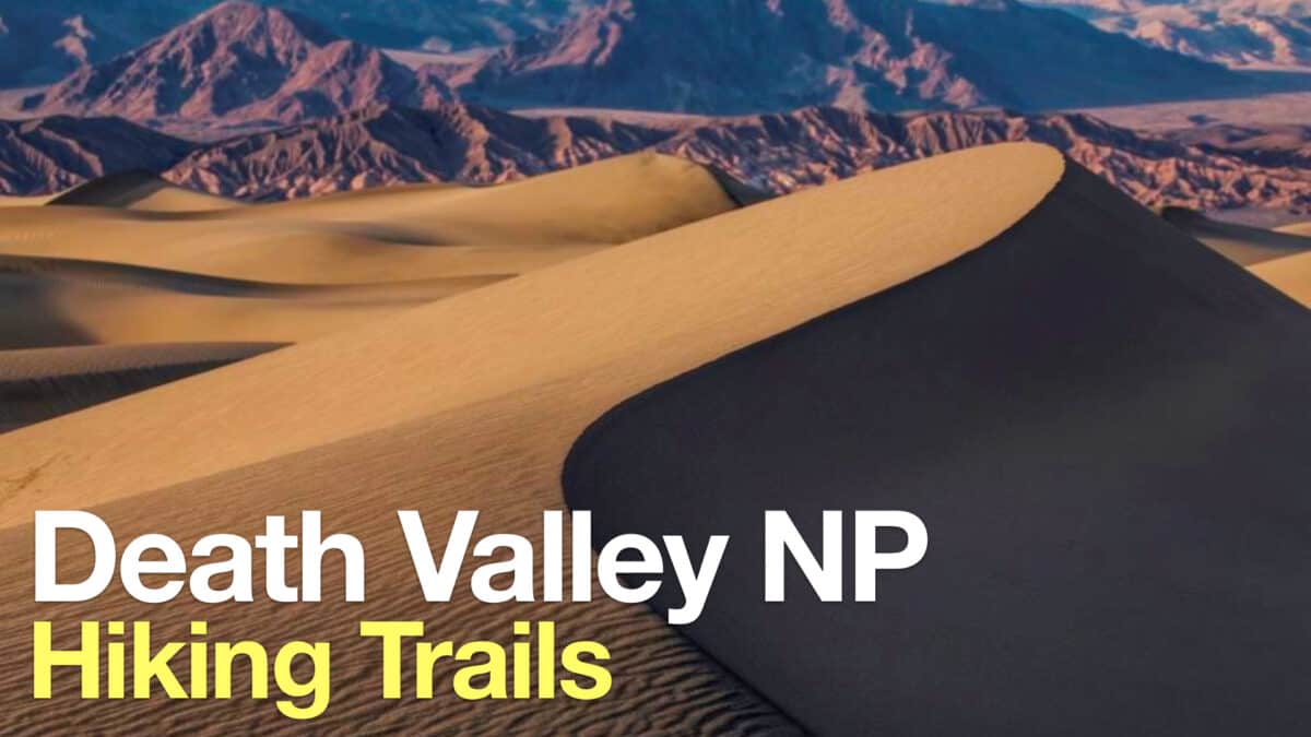 Death Valley Hikes
 Backpacking Trips
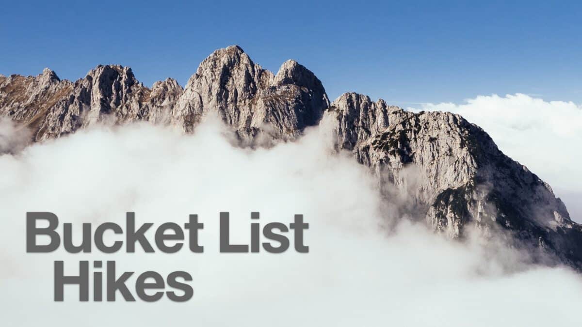 Best Hikes in the World
 LA Mountain Hikes
Popular Guides
 Best Hiking Gear 2024
 Hiking Boots or Shoes: Do I Really Need Hiking Boots?
 When to Hit SOS on inReach
This Guide Was Written by Cris Hazzard

Hi, I'm Cris Hazzard, aka Hiking Guy, a professional outdoors guide, hiking expert, and author based in Southern California. I created this website to share all the great hikes I do with everyone else out there. This site is different because it gives detailed directions that even the beginning hiker can follow. I also share what hiking gear works and doesn't so you don't waste money. I don't do sponsored or promoted content; I share only the gear recommendations, hikes, and tips that I would with my family and friends. If you like the website and YouTube channel, please support these free guides (I couldn't do it without folks like you!). You can stay up to date with my new guides by following me on YouTube, Instagram, or by subscribing to my monthly newsletter.