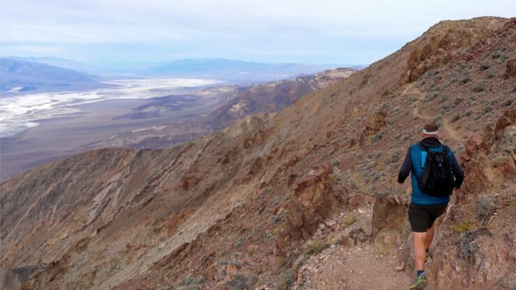

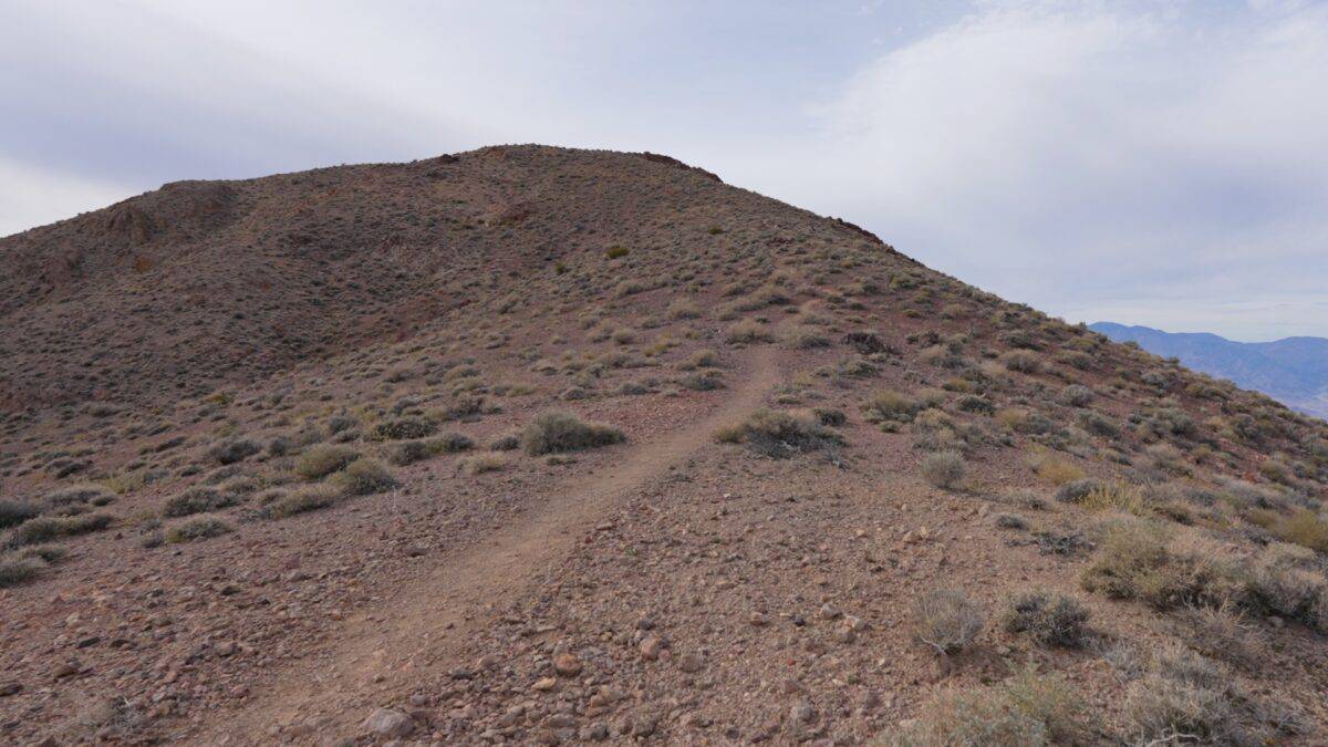
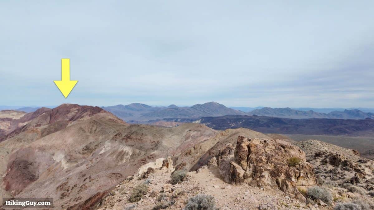
The hike to Mount Perry along Dante's Ridge is easily the most underrated in Death Valley National Park. The easy-to-follow trail follows a ridge along the Black Mountains, offering jaw-dropping views into Badwater Basin and as far as Mt Whitney and the Sierras.
- Mount Perry Hike Directions
- Where to Park
- Insider Tips & Recommendations
Where is Dante's Ridge?
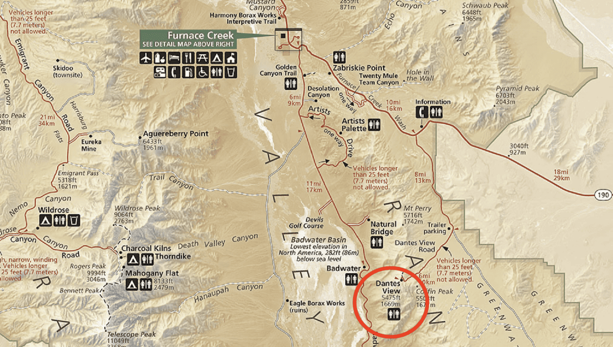
To get to the start of hike, drive to Dante's View, which is an incredible viewpoint on its own. Use this trailhead address:
Dante's View, Death Valley National Park, Dantes View Rd, California 92328
Gear Recommendations
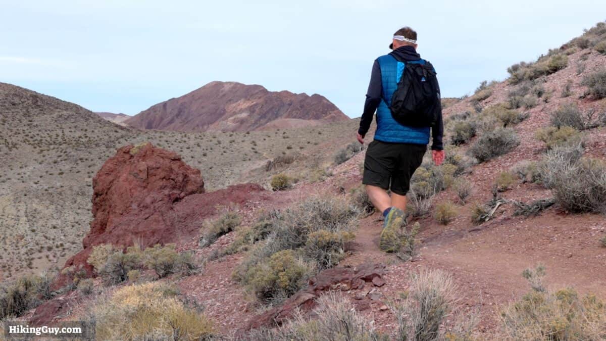
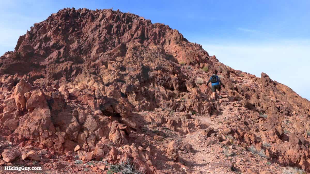
This is a rugged and fairly remote hike. Don't expect to see others and prepare for the conditions, which are often windy and exposed.
- Even though it's cooler at this altitude than lower in Badwater Basin, it can still get extremely hot here. In the winter it can be freezing but don't expect snow. In the summer, temperatures can be deadly. Checking the weather and conditions before you do this hike is critical.
- Bring at least 3L of water when it's warm out.
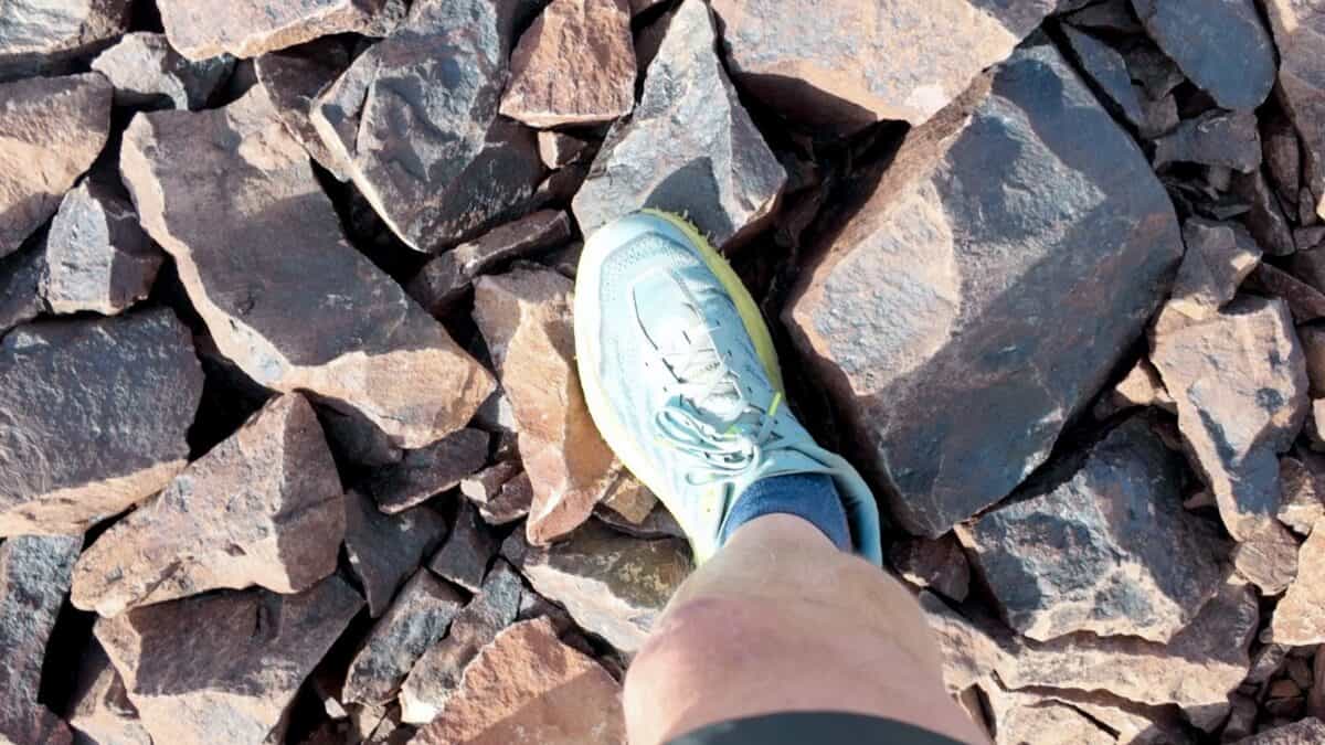
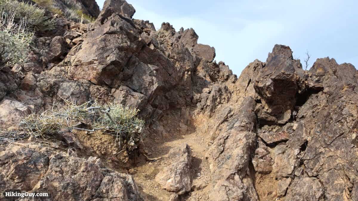
- The trail is rocky and overall in good condition. Trail runners are a good choice for footwear.
- There is intermittent cellular service along the route but nothing dependable. If you have a satellite messenger, I'd bring it.
Gear That I Love Right Now
Nothing is sponsored or promoted, just the actual gear that I use.


Check out the complete list here. ( Updated July 2024)
Mount Perry Trail Maps
How Will You Navigate?
 Using the Apple Watch for Hiking
 Garmin Fenix 7 & Epix Review For Hikers
 How To Read a Topographic Map
 Garmin GPSMAP 67i Review
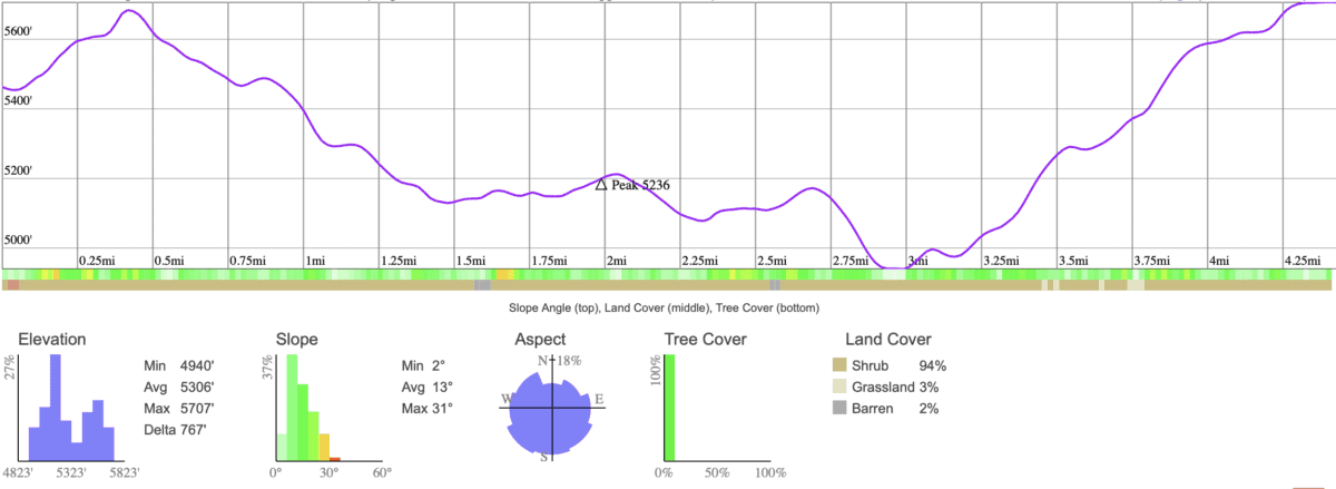
Elevation Profile
3D Map
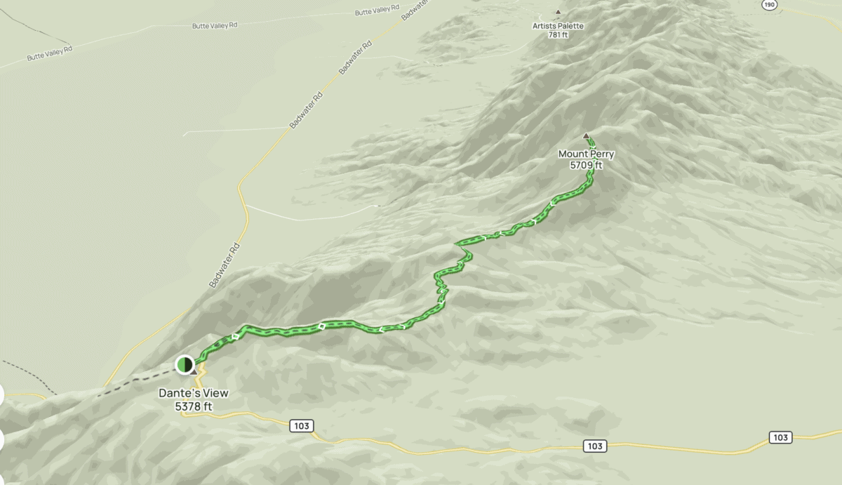
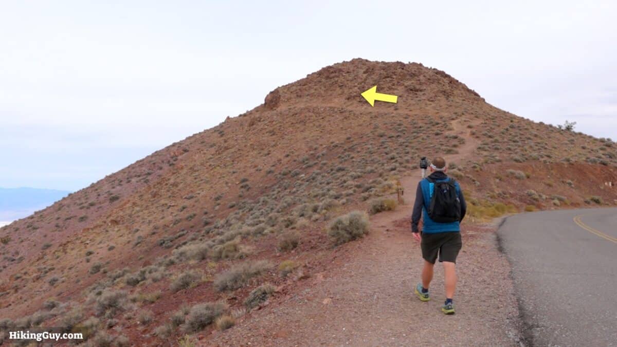
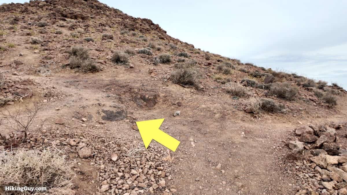
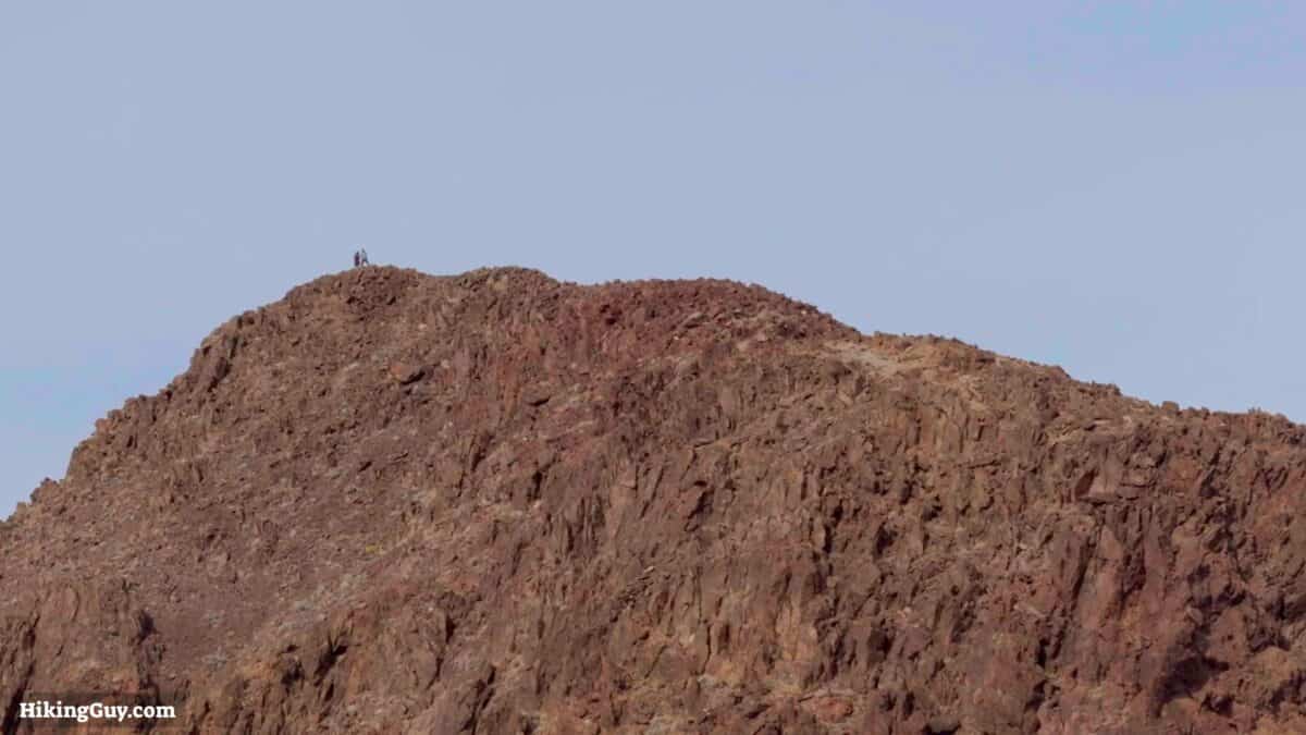
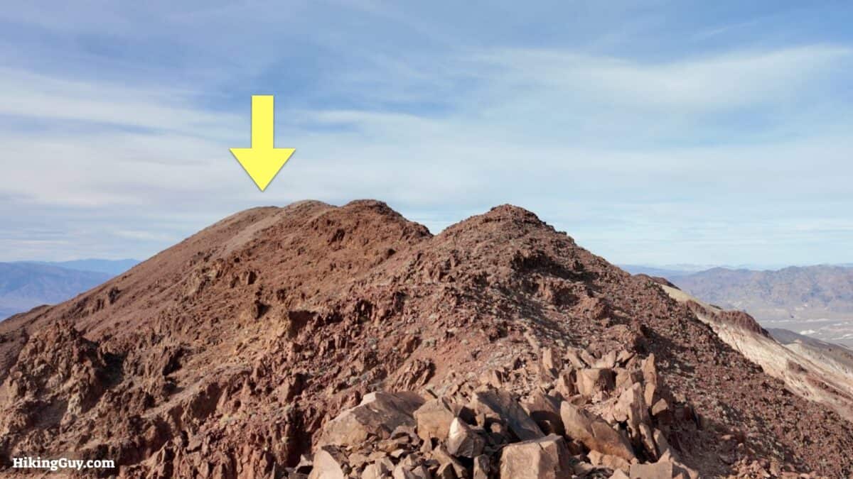
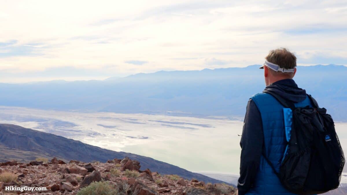
Mount Perry Hike Directions
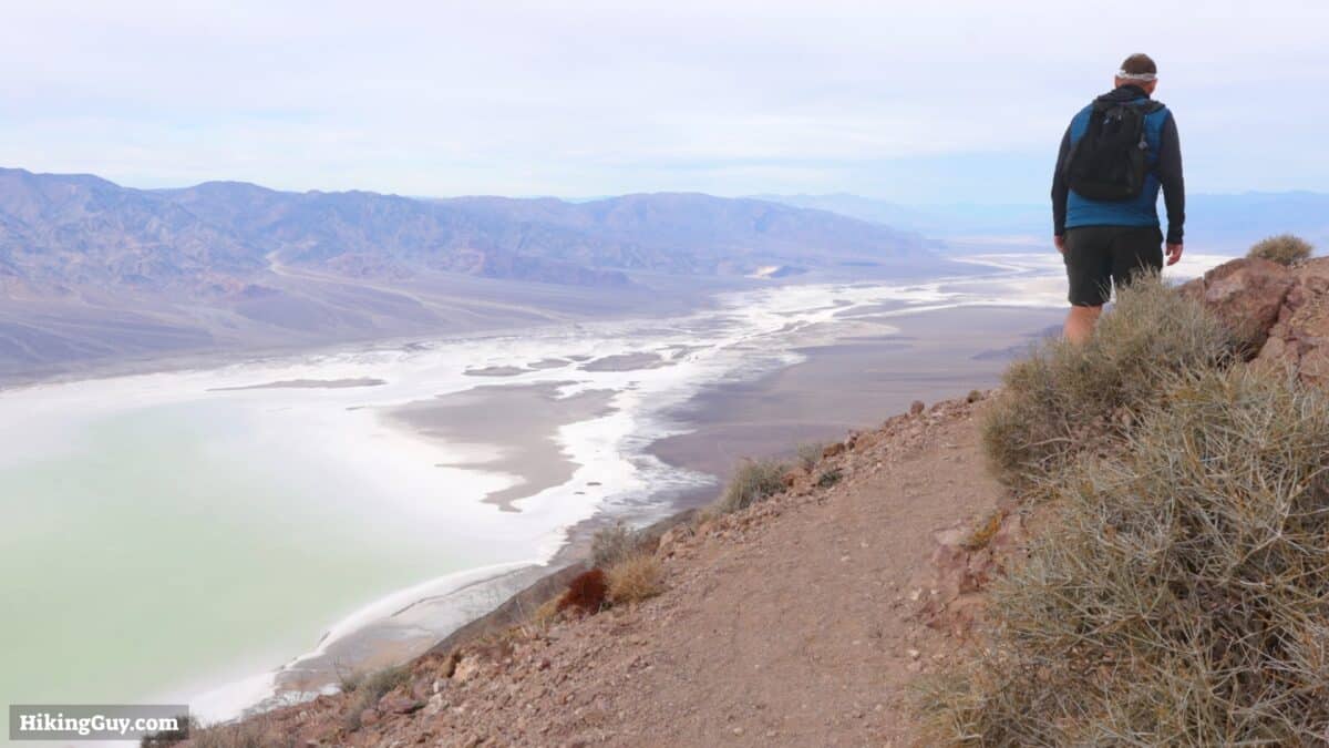
Badwater Basin is the lowest point in North America at -282 feet. During the last Ice Age there was a massive lake there called Lake Manly. The water dried up about 10,000 years ago but occasionally heavy rains will create mini-lakes in the basin.
Need More Info?
- Have a question about the guide? Join my Patreon and ask me a question.
- When planning, always check the park website and social media to make sure the trails are open. Similarly, check the weather and road conditions.
- Do you have an update to this guide? View the Youtube comments for this video. Leave a comment and I will do my best to update the guide.
Related Guides
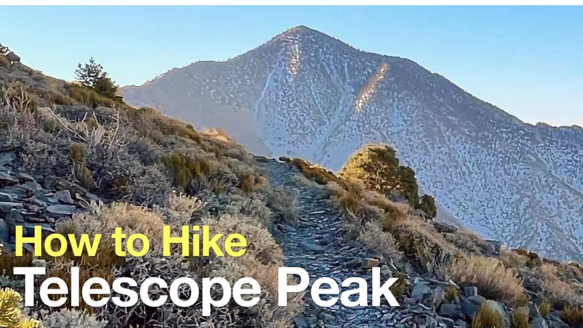 Telescope Peak Hike (Death Valley)
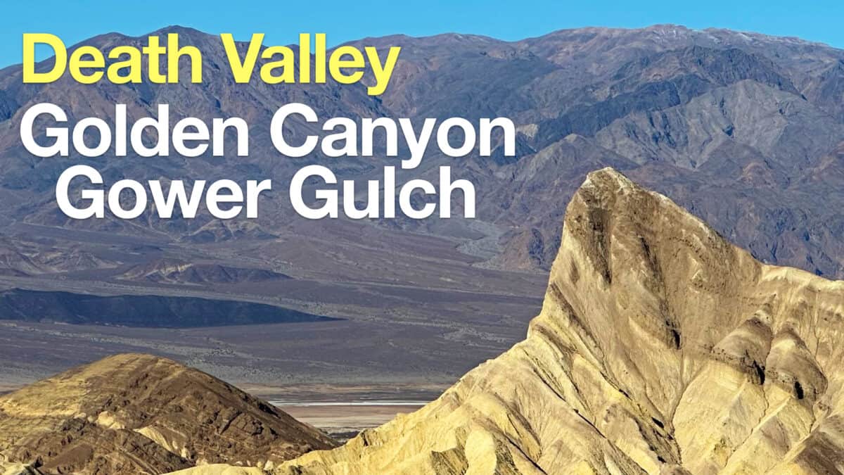 Golden Canyon and Gower Gulch Loop Hike
 Death Valley Hikes
Popular Guides
 Best Hiking Gear 2024
 Hiking Boots or Shoes: Do I Really Need Hiking Boots?
 When to Hit SOS on inReach
This Guide Was Written by Cris Hazzard

Hi, I'm Cris Hazzard, aka Hiking Guy, a professional outdoors guide, hiking expert, and author based in Southern California. I created this website to share all the great hikes I do with everyone else out there. This site is different because it gives detailed directions that even the beginning hiker can follow. I also share what hiking gear works and doesn't so you don't waste money. I don't do sponsored or promoted content; I share only the gear recommendations, hikes, and tips that I would with my family and friends. If you like the website and YouTube channel, please support these free guides (I couldn't do it without folks like you!). You can stay up to date with my new guides by following me on YouTube, Instagram, or by subscribing to my monthly newsletter.