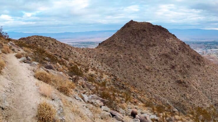

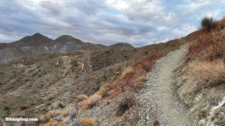
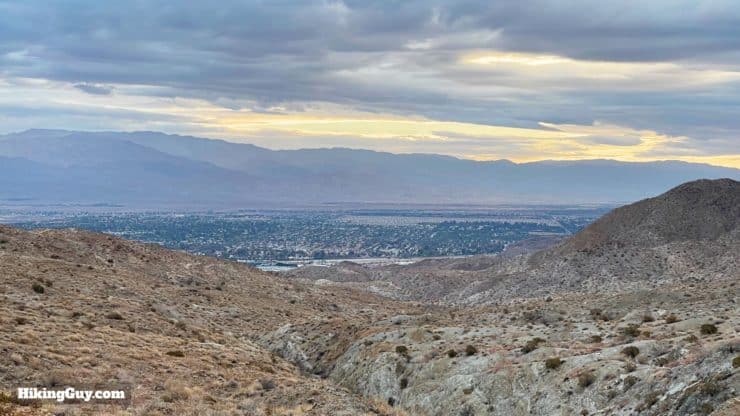
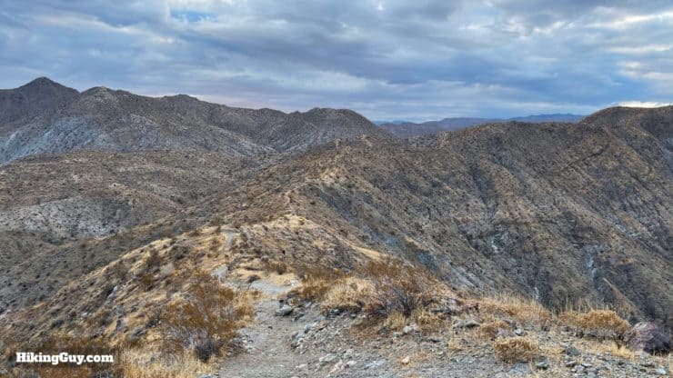
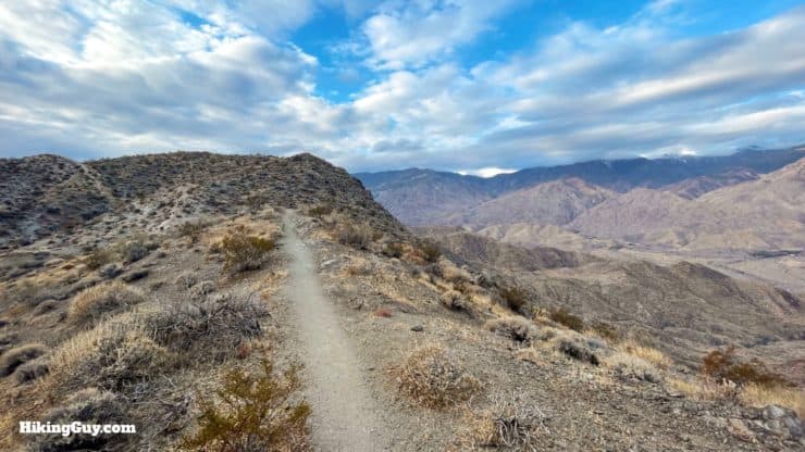
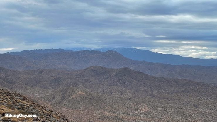
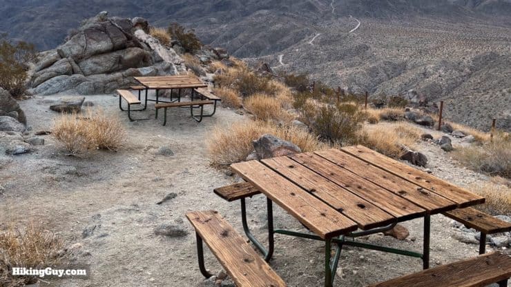
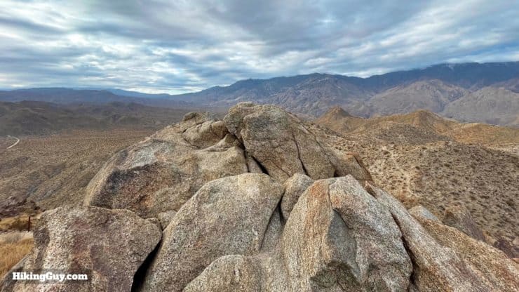
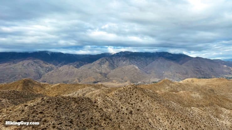
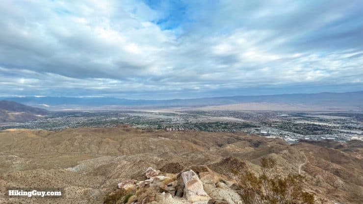
Most hikes in the Palm Springs area are up and down desert tracks in the foothills. But if you venture a little farther (7.5 miles total) and do the Murray Peak hike, you'll leave the big crowds behind and get a taste of the raw beauty of the Santa Rosa Mountains. You'll climb up along a quiet canyon in the shadow of the San Jacintos, crest a ridge with views into the Santa Rosas, and then end at a panoramic viewpoint where you can see the Coachella Valley, San Jacinto, San Gorgonio, and Joshua Tree. It's one of my favorite peaks and worth a visit.
- Video and Turn-by-Turn Directions to Murray Peak (aka Murray Hill)
- Parking For the Murray Peak Hike
- Insider Tips and Recommendations
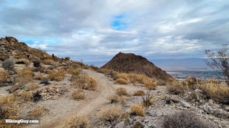
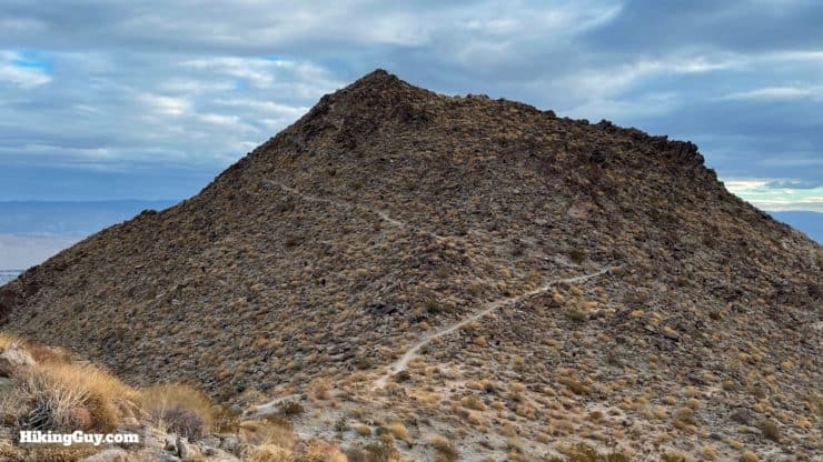
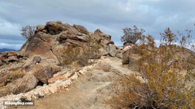
The summit is officially called Murray Hill, but the unofficial moniker of Murry Peak is more appropriate on this pyramid-shaped dome.
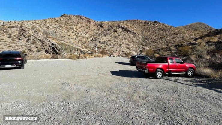
Murray Peak Hike Parking
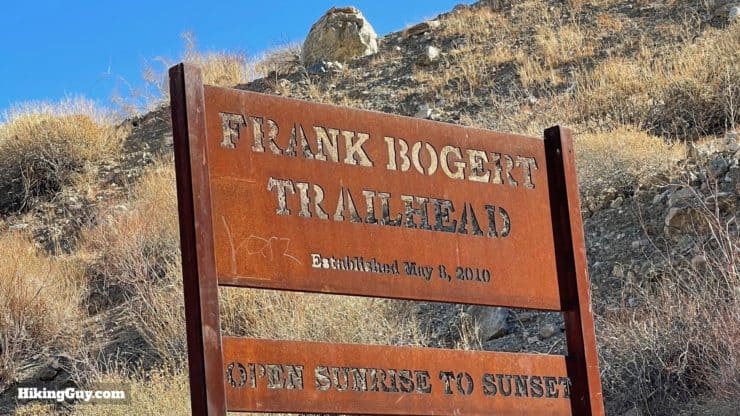
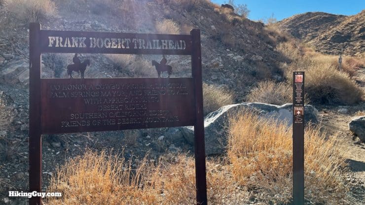
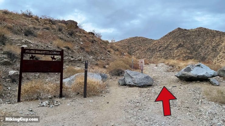
There are many ways to hike to Murray Peak, but I find that this routing is the best for most folks. Why? Because we're going to start at the Frank Bogert trailhead, which has a parking lot and usually doesn't get too full. And the climb up the Frank Bogert is quiet and shaded in the first half of the day, with great views across to the San Jacinto area. The other approaches work, but the parking can be tougher and the trails more confusing. Overall the Frank Bogert approach is much more user-friendly.
Use this trailhead address:
Frank Bogert Trailhead, Andreas Hills Dr, Palm Springs, CA 92264
The Frank Bogert trailhead is not on all maps, but it is on Google Maps, and is a "real" trailhead with parking lot and signage.
There is no water or bathrooms at the trailhead.
Gear for the Hike
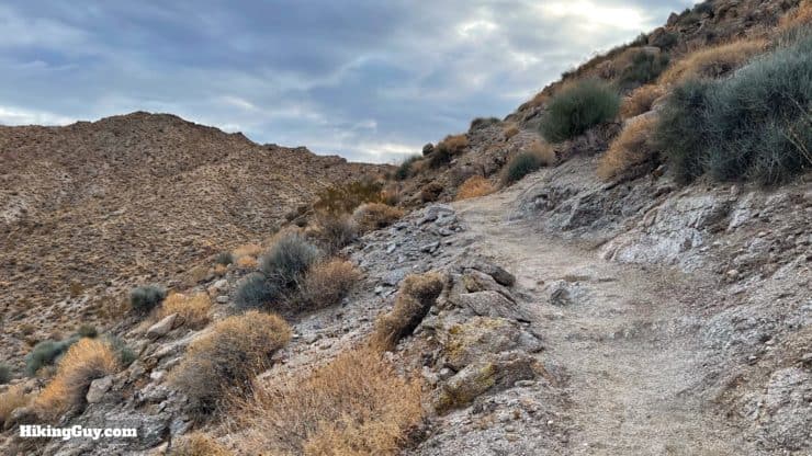
This is a desert hike in the backcountry and you should plan accordingly. I take 2L of water and sun protection. In the warmer months this hike should only be done at sunrise or at night, it's totally exposed. Trekking poles help on the steep sandy slopes.
Gear That I Love Right Now
Nothing is sponsored or promoted, just the actual gear that I use.


Check out the complete list here. ( Updated October 2024)
Murray Peak Trail Maps
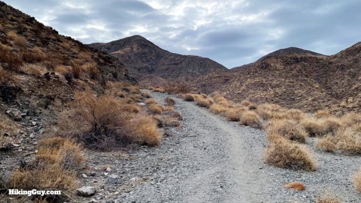
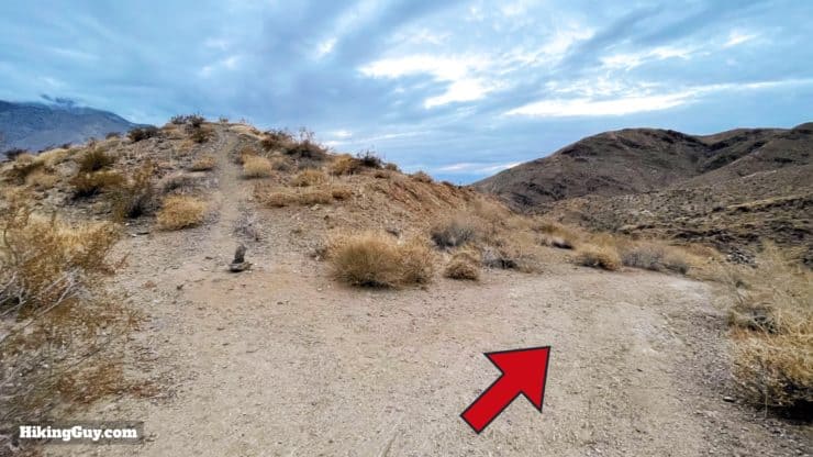
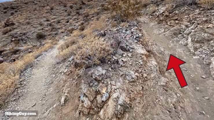
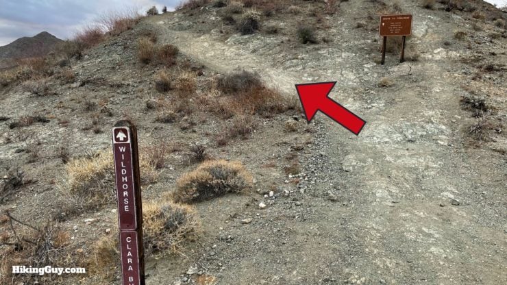
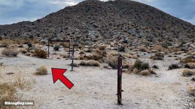
The hie starts on the Frank Bogert trail, which is relatively new (2009). Then it joins the Wildhorse and Clara Burgess trails. The trails are all easy enough to spot on the ground, and have sporadic signage.
How Will You Navigate?
 Using the Apple Watch for Hiking
 Garmin Fenix 7 & Epix Review For Hikers
 How To Read a Topographic Map
 Garmin GPSMAP 67i Review
Hike Brief
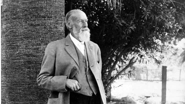
- Dr. Welwood Murray (1832-1914) left Scotland for California to improve his ailing health, eventually settling in Palm Springs. He was one of the first gringo settlers, and he built a hotel, library, garden that catered to people dealing with health issues. He's known as "The Patriarch of Palm Springs" and you'll see his name all over the place, including Murray Hill.
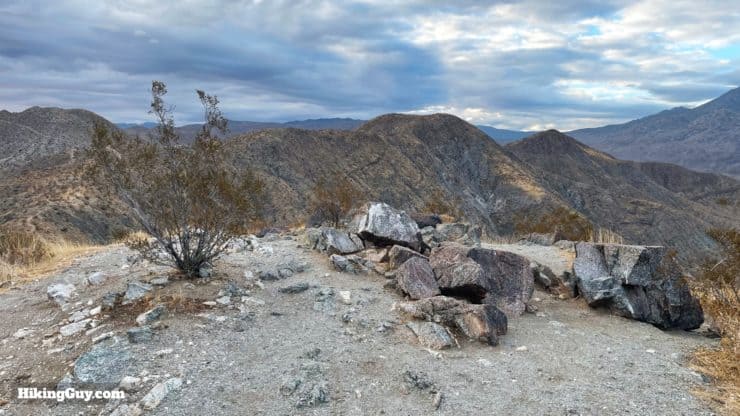
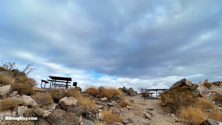
- If you poke around at other guides, you may see other elevations for Murray Hill. The official USGS datasheet says 2169 feet, other maps say 2200, and some have it between 2200-2220 feet. Whatever it is, the prominence is great and you have nice 360 views from the summit.
- Frank Bogert, who the first trail is named after, was a 4-term Palm Springs mayor and cowboy who helped build the city up as a tourist destination in the 1930s and on. Today his legacy is being re-examined.
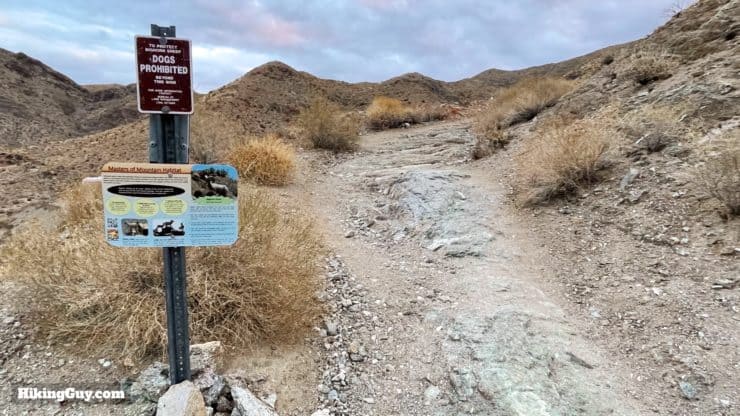
- The area you will hike through endangered peninsular bighorn territory (read more about them in this guide). Keep your eyes on the hillsides for them. They blend in very well here and can be tough to spot.
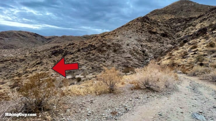
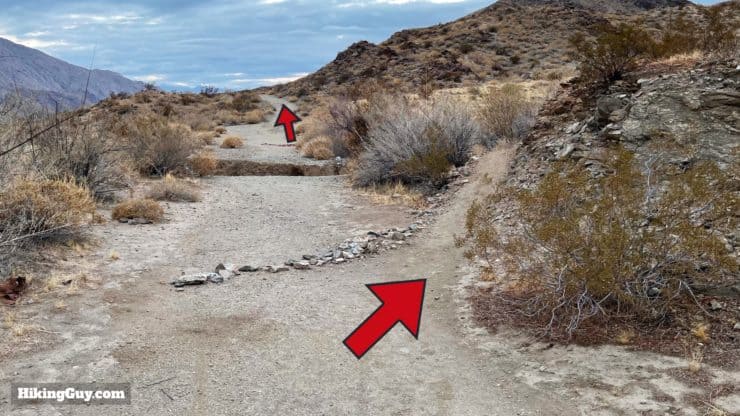
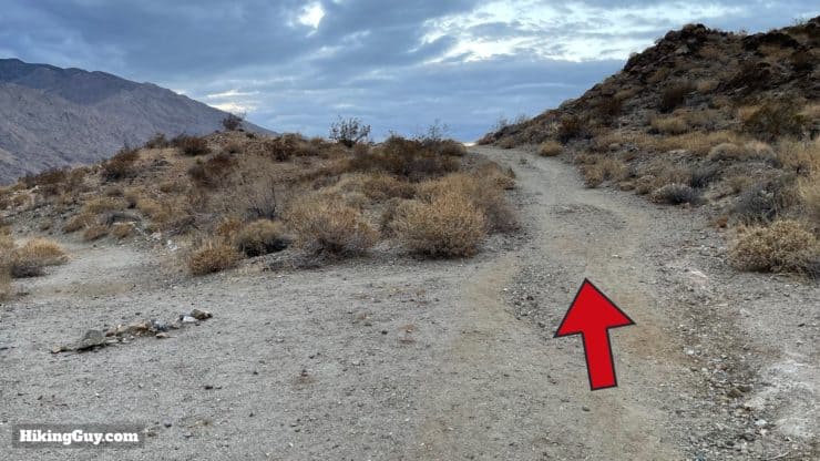
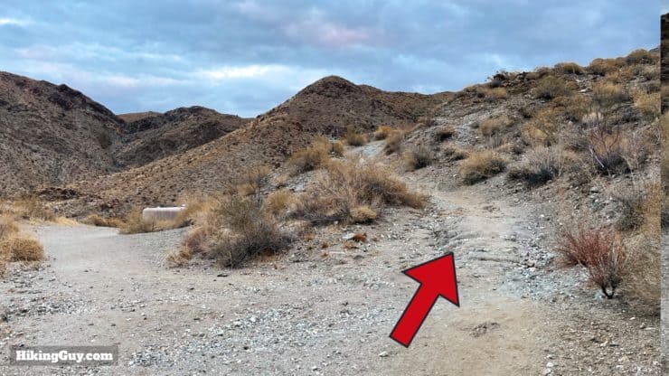
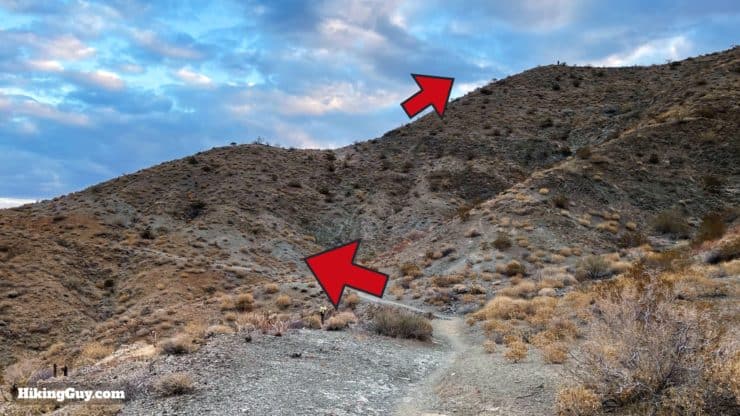
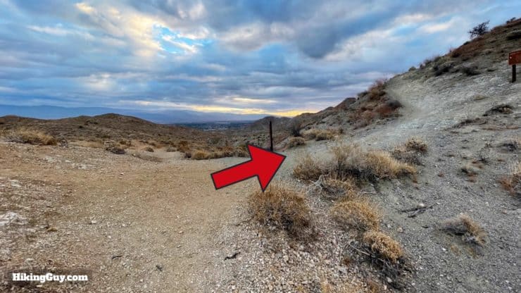
Murray Peak Hike Directions
Need More Info?
- Have a question about the guide? Join my Patreon and ask me a question.
- When planning, always check the park website and social media to make sure the trails are open. Similarly, check the weather and road conditions.
- Do you have an update to this guide? View the Youtube comments for this video. Leave a comment and I will do my best to update the guide.
Related Guides
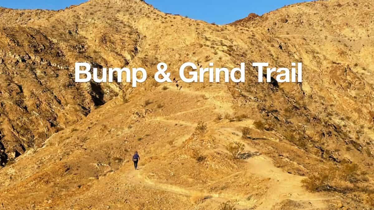 Bump and Grind Trail Guide (Palm Desert)
 Whitewater Preserve Hike - Canyon View Loop Trail
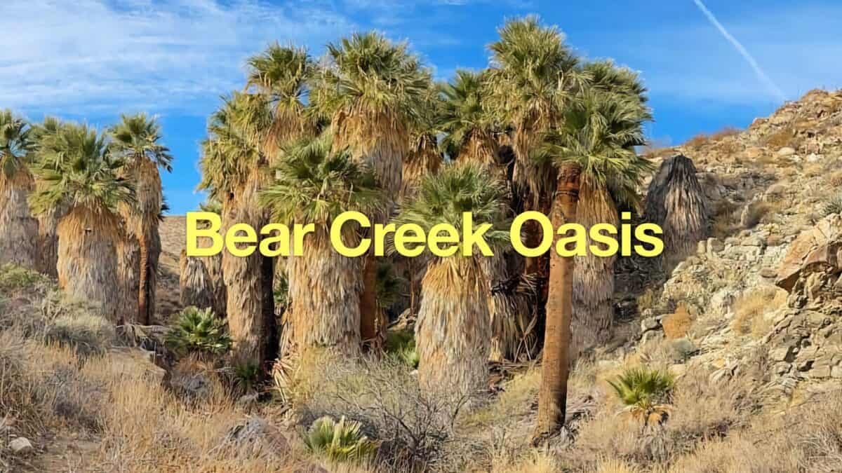 Bear Creek Oasis Trail Guide
 East Indio Badlands Trail Guide
 Art Smith Trail Guide
 Tim's Ladder Trail
 Palm Springs Hiking Trails
 Hikes In and Around Riverside County
 Santa Rosa and San Jacinto Mountains National Monument Hikes
Popular Guides
 Best Hiking Gear 2024
 Hiking Boots or Shoes: Do I Really Need Hiking Boots?
 When to Hit SOS on inReach
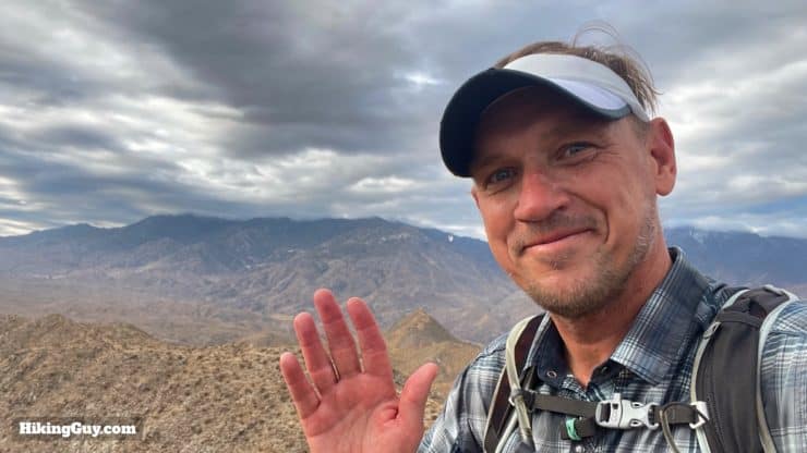
This Guide Was Written by Cris Hazzard

Hi, I'm Cris Hazzard, aka Hiking Guy, a professional outdoors guide, hiking expert, and author based in Southern California. I created this website to share all the great hikes I do with everyone else out there. This site is different because it gives detailed directions that even the beginning hiker can follow. I also share what hiking gear works and doesn't so you don't waste money. I don't do sponsored or promoted content; I share only the gear recommendations, hikes, and tips that I would with my family and friends. If you like the website and YouTube channel, please support these free guides (I couldn't do it without folks like you!). You can stay up to date with my new guides by following me on YouTube, Instagram, or by subscribing to my monthly newsletter.