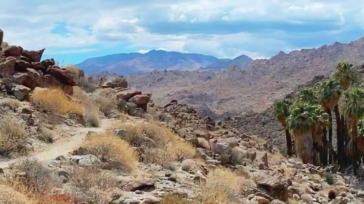

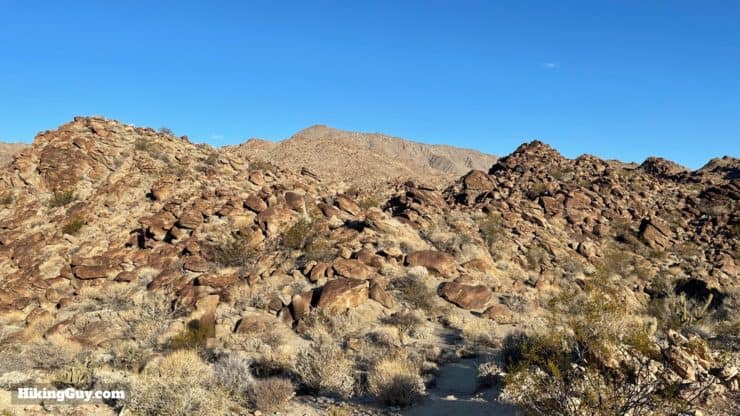
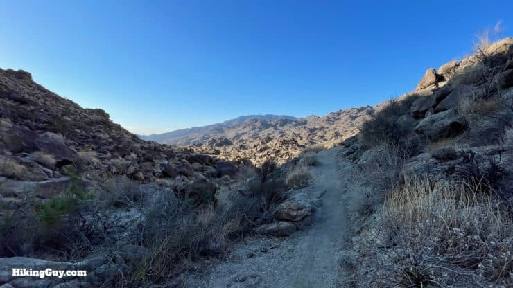
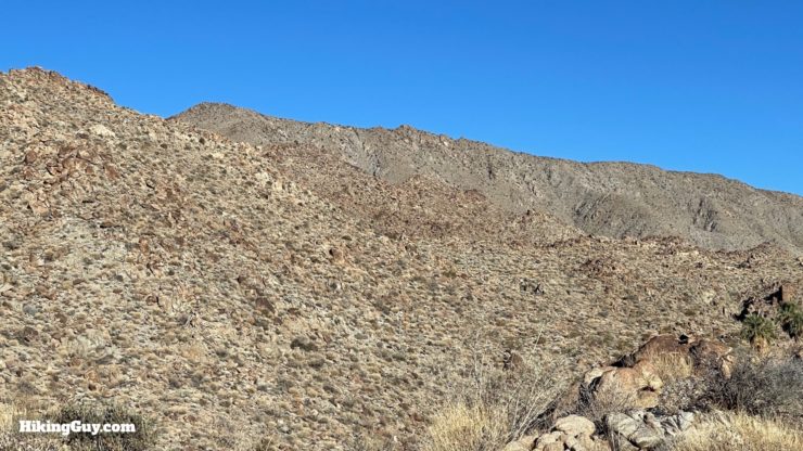
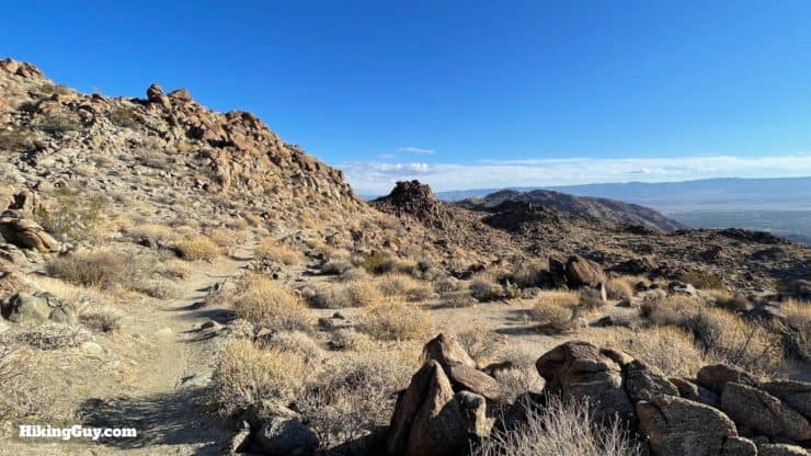
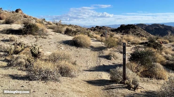
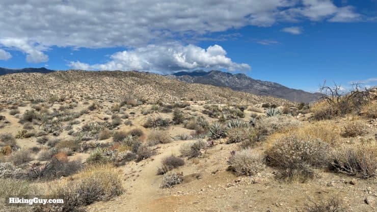
The Art Smith Trail offers a skillfully routed hike through the desert foothills, making you feel like you are many miles away from civilization. Referenced to by the Forest Service as "truly one of the signature trails in the (Santa Rosa & San Jacinto) National Monument," the Art Smith Trail features palm oases, dramatic rock formations, sweeping views, and unlike many other foothill hikes in the area, some solitude. There's climbing, but it's not too steep, and it's spread over a more extended series of ups and downs, making it a good workout without extreme gradients.
- Video and Turn-by-Turn Directions for the Art Smith Trail
- Parking for the Art Smith Trail
- Insider Hike Tips & Recommendations
The Art Smith Trail offers a skillfully routed hike through the desert foothills, making you feel like you are many miles away from civilization. Referenced to by the Forest Service as "truly one of the signature trails in the (Santa Rosa & San Jacinto) National Monument," the Art Smith Trail features palm oases, dramatic rock formations, sweeping views, and unlike many other foothill hikes in the area, some solitude. There's climbing, but it's not too steep, and it's spread over a more extended series of ups and downs, making it a good workout without extreme gradients.
Where is the Art Smith Trail?
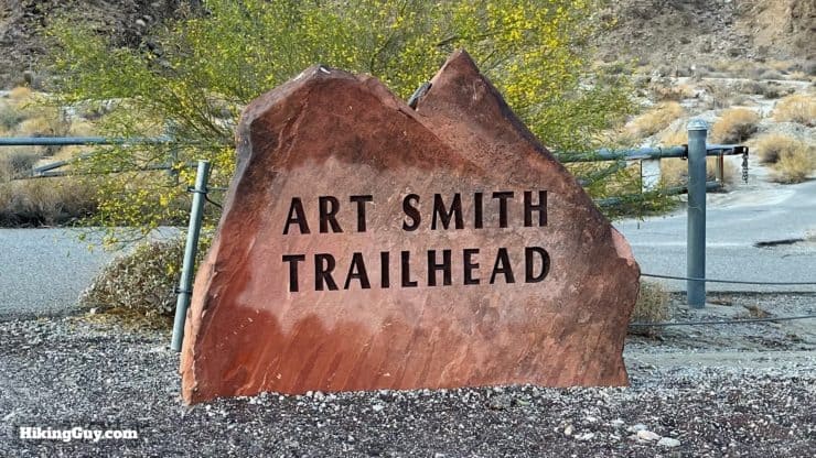
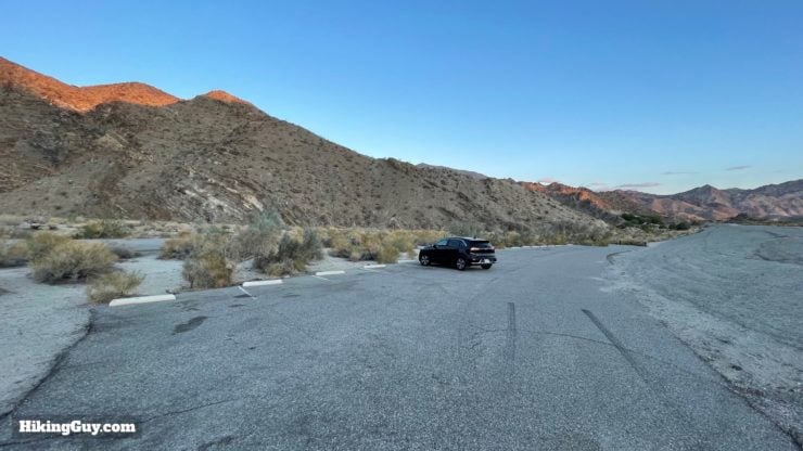
There is a nice big parking lot for the Art Smith Trail located here:
Art Smith Trailhead, Roy Wilson Memorial Hwy, Palm Desert, CA 92260
There are no bathrooms or water fills at the trailhead or on the trail.
Gear For the Hike
This is a full-on desert hike. There is no shade. Prepare for the conditions and wear sun protection. In the warmer months, this trail is a non-starter. Bring at least 3L of water for the full hike. Trekking poles will be fine if you're used to them, but otherwise, don't go out of your way to use them. The slopes are pretty easy to go up and down without slipping.
Gear That I Love Right Now
Nothing is sponsored or promoted, just the actual gear that I use.


Check out the complete list here. ( Updated July 2024)
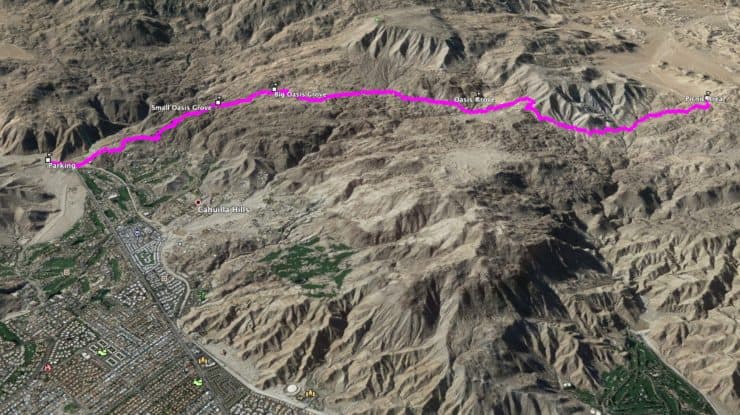
Art Smith Trail Maps
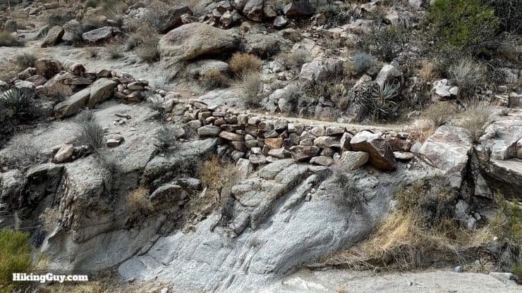
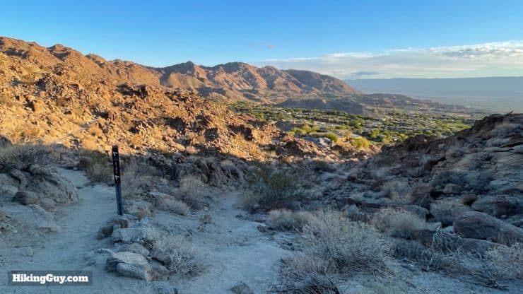
One thing to note is how cleverly built this trail is. For most of the route you are only a couple of miles away from the development in the Palm Desert Area, but because of how this trail is routed, you rarely see or hear it. It feels like you are much deeper into the desert than you actually are.
How Will You Navigate?
 Using the Apple Watch for Hiking
 Garmin Fenix 7 & Epix Review For Hikers
 How To Read a Topographic Map
 Garmin GPSMAP 67i Review
Elevation Profile
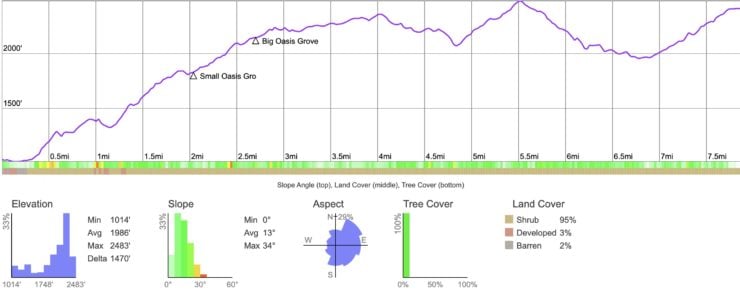
3D Map
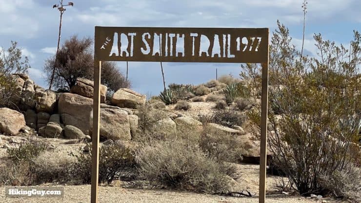
Who is Art Smith?
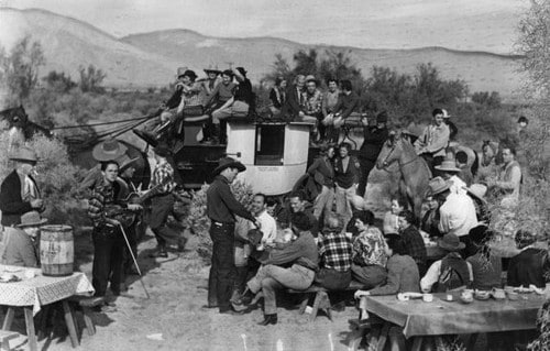
In the beginning, the Desert Riders simply road wherever they wanted. But as the Coachella Valley became more developed, they realized the need for conservation and started collecting dues to build and maintain trails. It was one of the country's earliest and most successful private trail development projects.
Art Smith, who was considered "trail boss" after 30 years at the club, founded the Desert Riders Trail Foundation in 1972. This nonprofit trust for trail preservation and building focused on making the trails accessible to not only horses, but also hikers. The Desert Riders have created 28 trails in total, many of them adaptations of native Cahuilla footways. Today, having laid the groundwork for this world-class trail system, the Desert Riders have bowed out of the trail building game and have left it up to the various local, state, and federal park and land organizations.
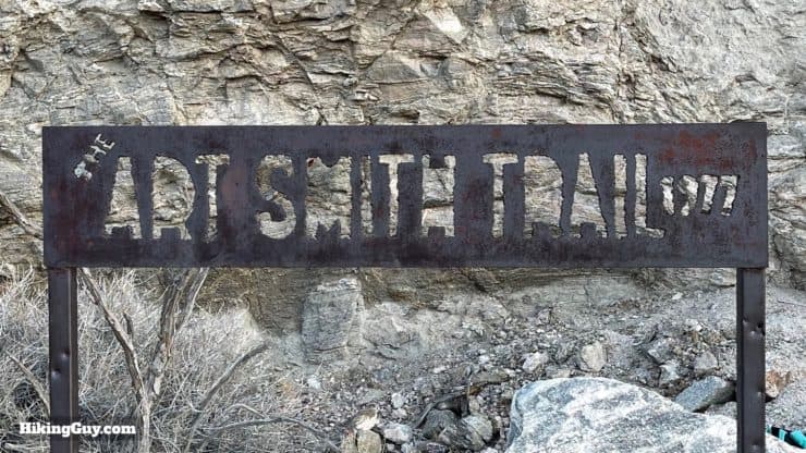
And if you look at the names of trails in the Palm Springs area, most of them bear names of Desert Rider club members like Clara Burgess, Earl Coffman, and Carl Lykken. This trail, which the Forest Service calls "one of the signature trails," is named after the master trail-builder himself, Art Smith.
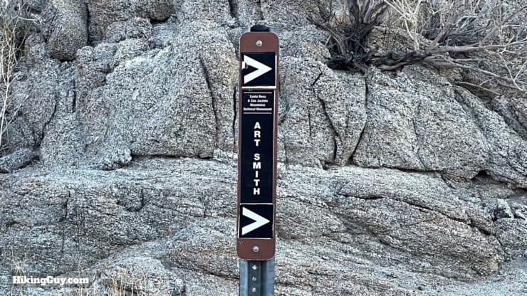
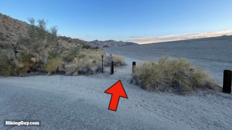
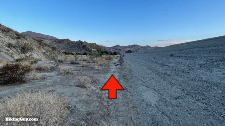
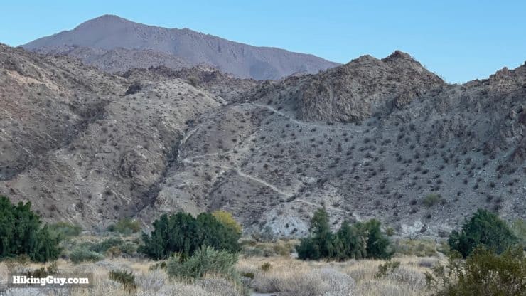
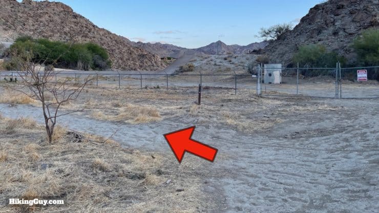
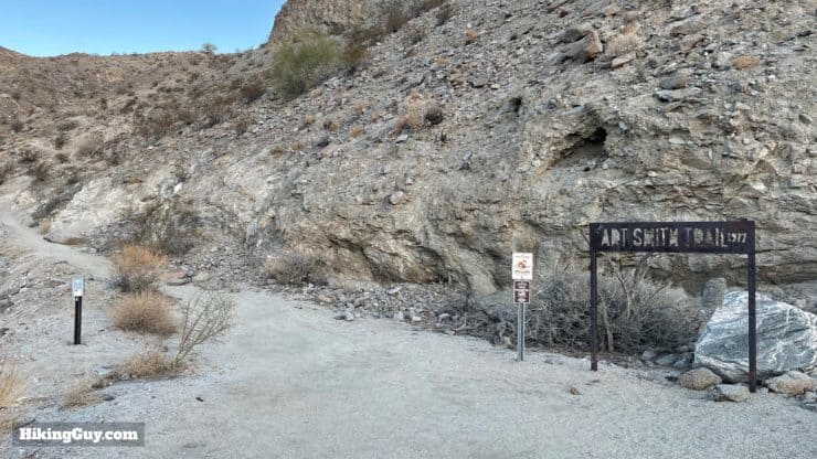
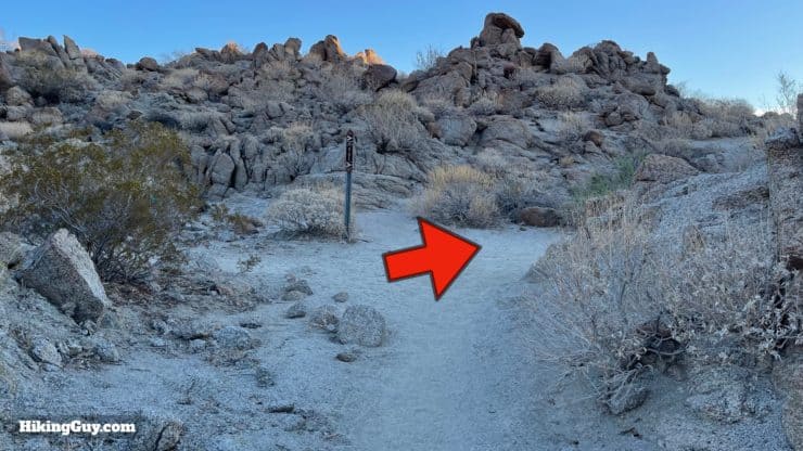
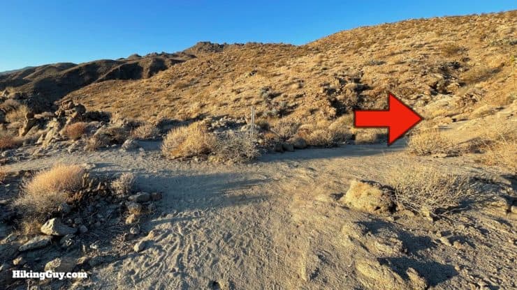
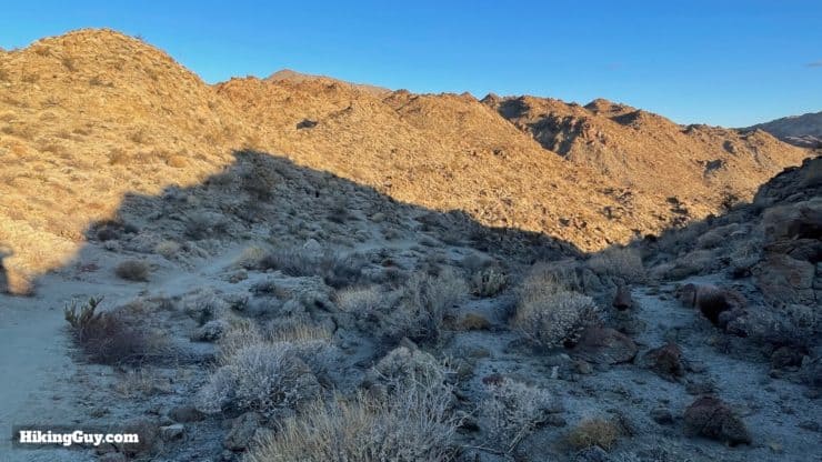
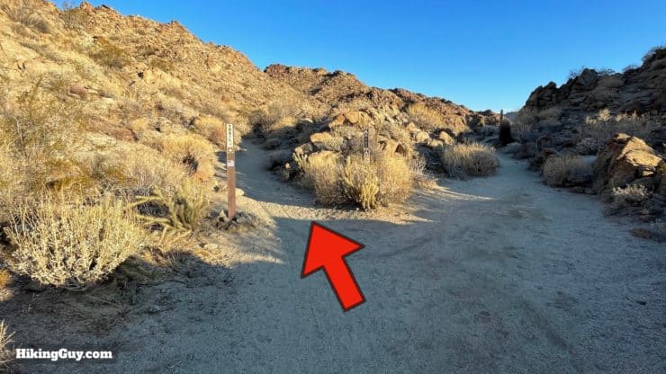
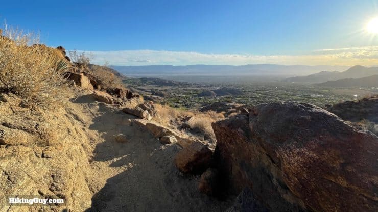
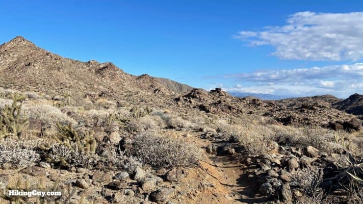
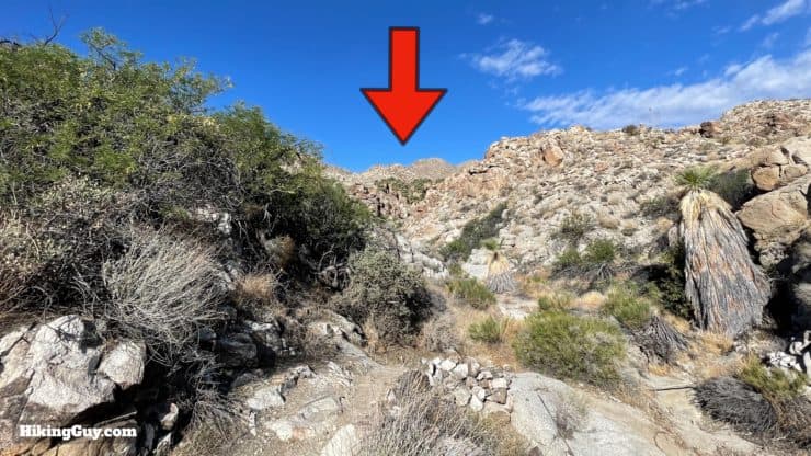
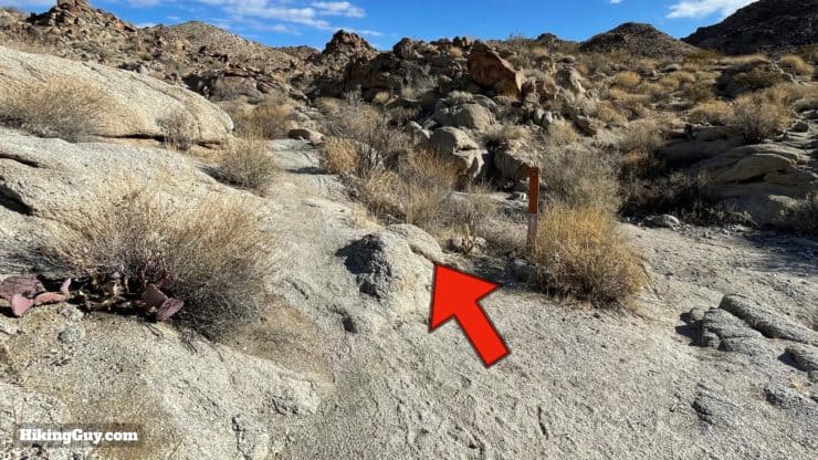
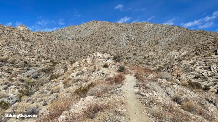
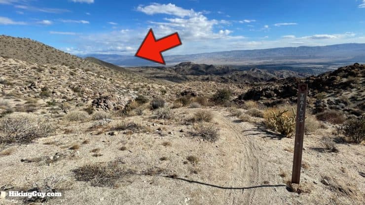
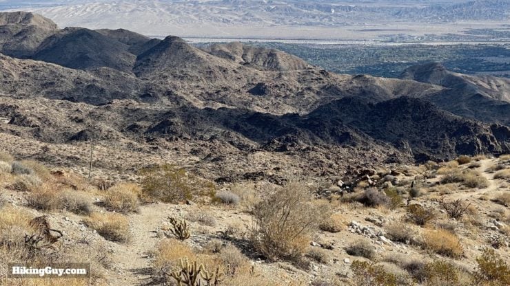
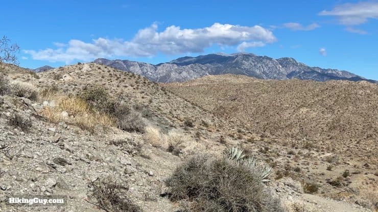
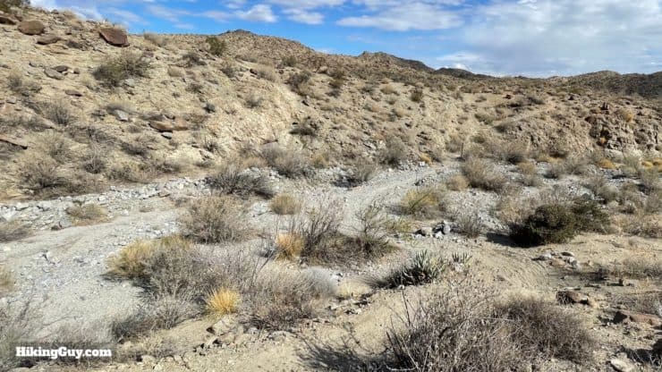
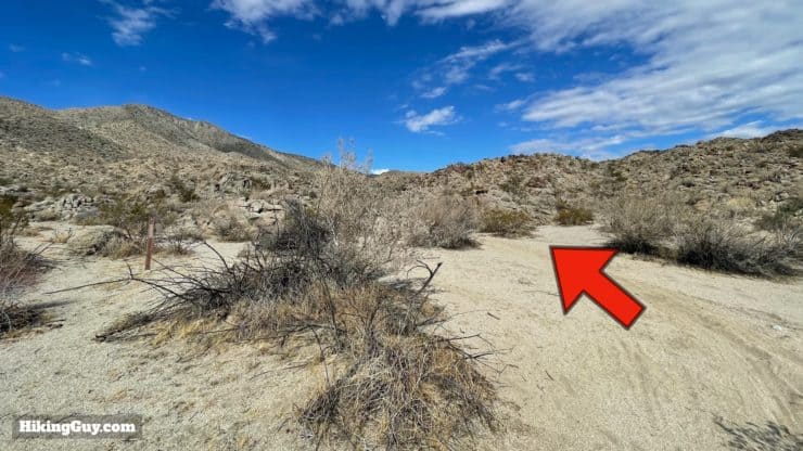
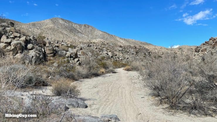
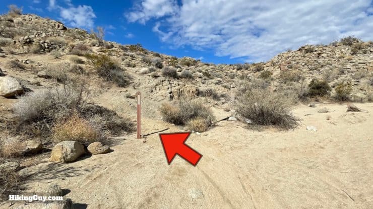
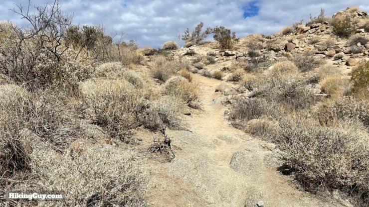
Art Smith Trail Hike Directions
The Art Smith Trail has a reputation as a good place to spot the local endangered peninsular bighorn sheep.
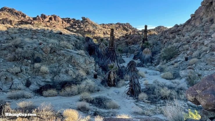
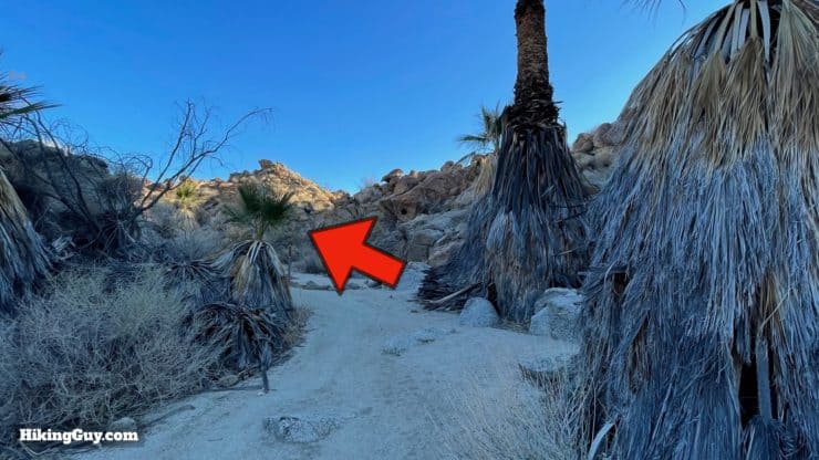
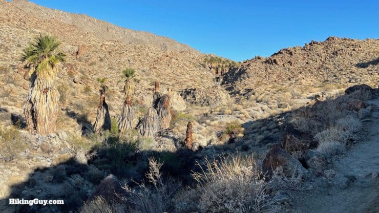
If you're doing the shorter hike, you can enjoy the palms and just return back the way you came from here.
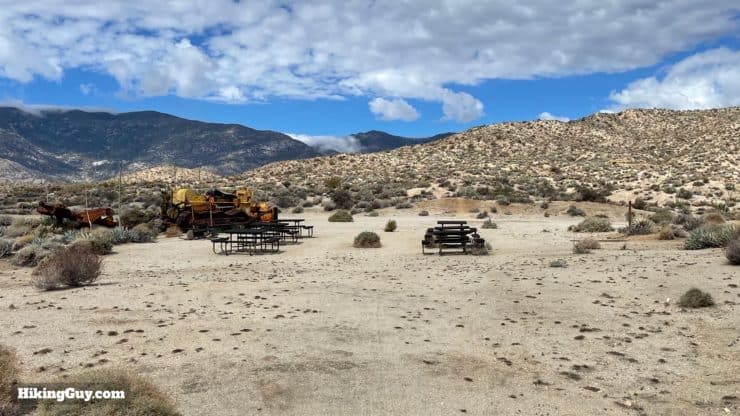
Dunn Road is named after Michael Dunn, who tried to skirt federal land to build a shortcut between Palm Spring and Rt 74. The bulldozer you see in ruins was his, abandoned after a long fight against the government and environmentalists.
Need More Info?
- Have a question about the guide? Join my Patreon and ask me a question.
- When planning, always check the park website and social media to make sure the trails are open. Similarly, check the weather and road conditions.
- Do you have an update to this guide? View the Youtube comments for this video. Leave a comment and I will do my best to update the guide.
Related Guides
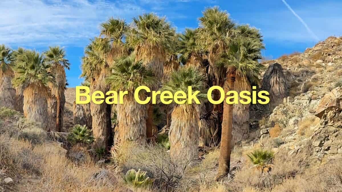 Bear Creek Oasis Trail Guide
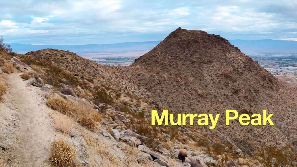 Murray Peak Hike (Palm Springs)
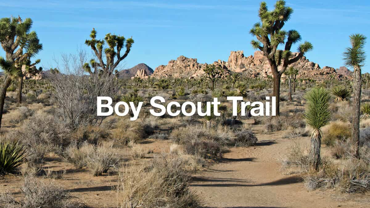 Boy Scout Trail (Joshua Tree) Hike
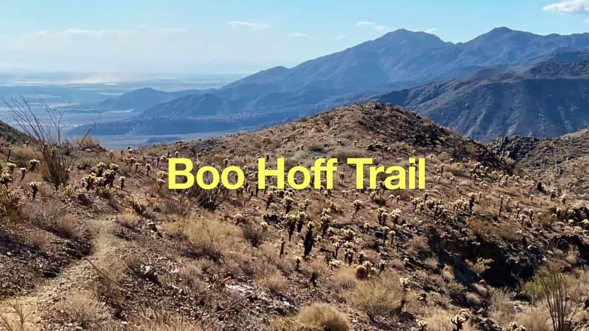 Hike the Boo Hoff Trail Loop
 Palm Springs Hiking Trails
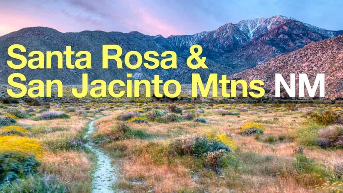 Santa Rosa and San Jacinto Mountains National Monument Hikes
Popular Guides
 Best Hiking Gear 2024
 Hiking Boots or Shoes: Do I Really Need Hiking Boots?
 When to Hit SOS on inReach
This Guide Was Written by Cris Hazzard

Hi, I'm Cris Hazzard, aka Hiking Guy, a professional outdoors guide, hiking expert, and author based in Southern California. I created this website to share all the great hikes I do with everyone else out there. This site is different because it gives detailed directions that even the beginning hiker can follow. I also share what hiking gear works and doesn't so you don't waste money. I don't do sponsored or promoted content; I share only the gear recommendations, hikes, and tips that I would with my family and friends. If you like the website and YouTube channel, please support these free guides (I couldn't do it without folks like you!). You can stay up to date with my new guides by following me on YouTube, Instagram, or by subscribing to my monthly newsletter.