The Boo Hoff Trail, which follows a native path into the foothills of the Santa Rosa Mountains, is filled with desert beauty and panoramic views. This loop is a challenging route that offers a solid climb, a descent into Devil Canyon and around Lake Cahuilla, and a hike back on the Cove to Lake Trail. Overall the Boo Hoff loop is a challenging hike that offers a little of everything.
In this Guide:
Video and Turn-by-Turn Directions for the Boo Hoff Trail Loop
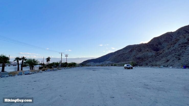
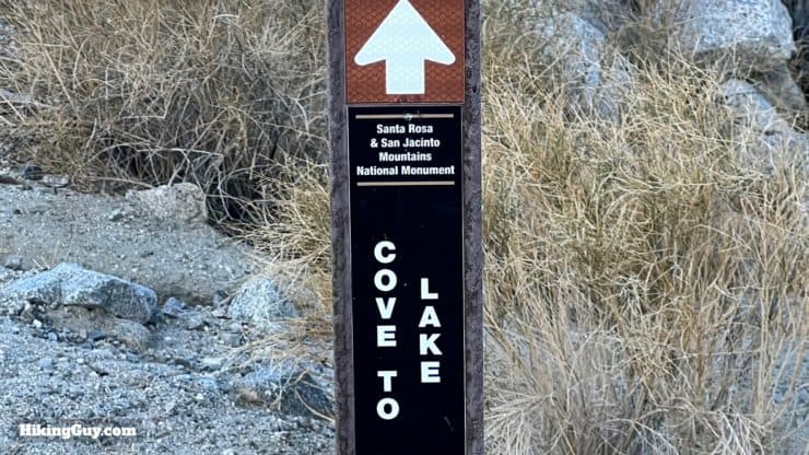
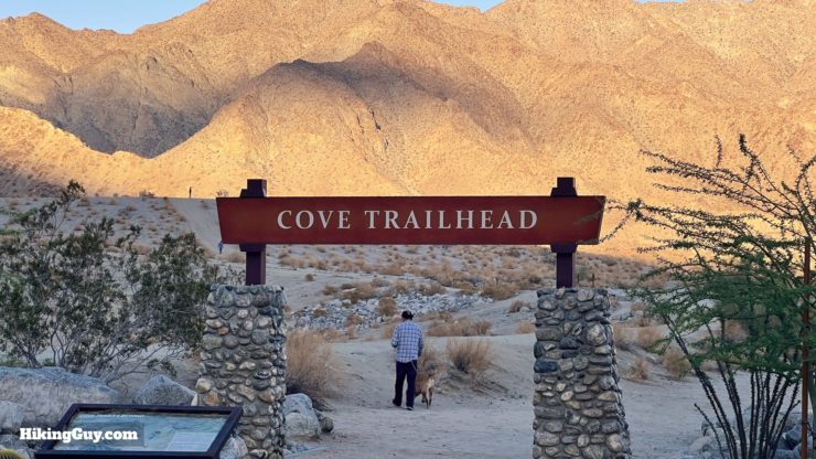
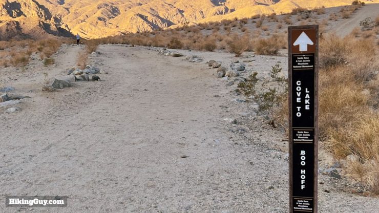
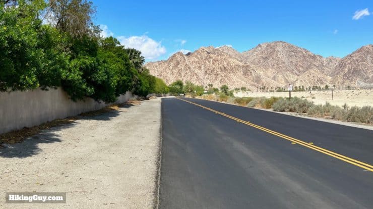
There's a massive and well-developed trailhead for this hike at the Cove to Lake Trailhead. The Cove to Lake Trail is the one we'll be using to return on the loop (FYI). Here's the trailhead address: Cove to Lake Trailhead, Calle Tecate, La Quinta, CA 92253
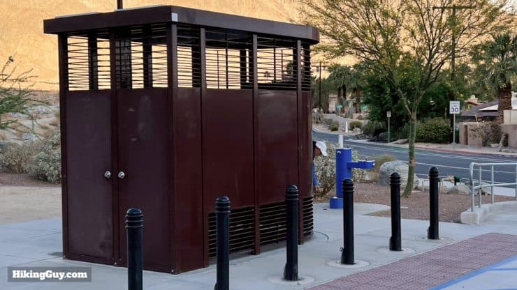
The parking lot is massive and free. Don't confuse it with the nearby "Cove Oasis" trailhead.The Cove to Lake Trailhead has the nicest toilet that I've ever seen at the start of a hike. There's also a water refill and fountain.Several other (use) trails lead out of the parking lot, but the hike starts at the big sign at the end of the parking lot.
Gear For the Hike
This is a rough backcountry hike and you should prepare accordingly. Trekking poles and good hiking footwear are handy on the slopes. If you have low gaiters they can be helpful hiking through the loose rock and sand. I bring 3L of water but usually use around 2L unless it's very hot. And when it's very hot, as with most hikes in the desert, the hike can be deadly. It's best done in the cooler months.
Osprey Hikelite 26Lightweight, carries all your gear, and your back doesn't get sweaty. Oh yea, it's also one of the most inexpensive packs you can get.
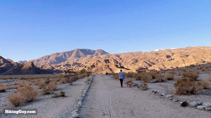
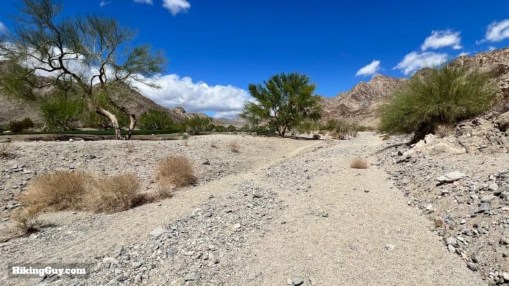
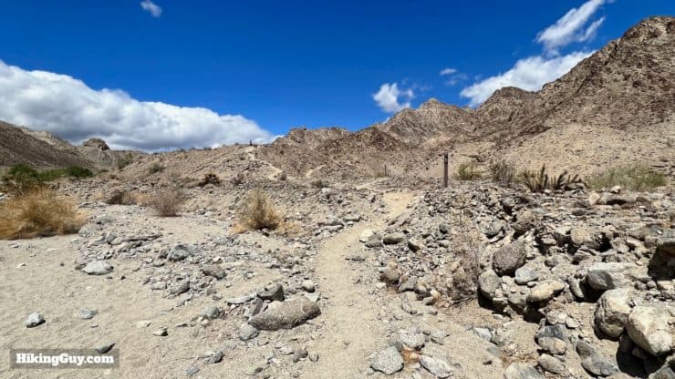
The climb from La Quinta Cove starts gently up a wash, and then gets steep as you hit the foothills. From there you'll descend along Devil Canyon to Lake Cahuilla, and then tackle a smaller climb back to the start.
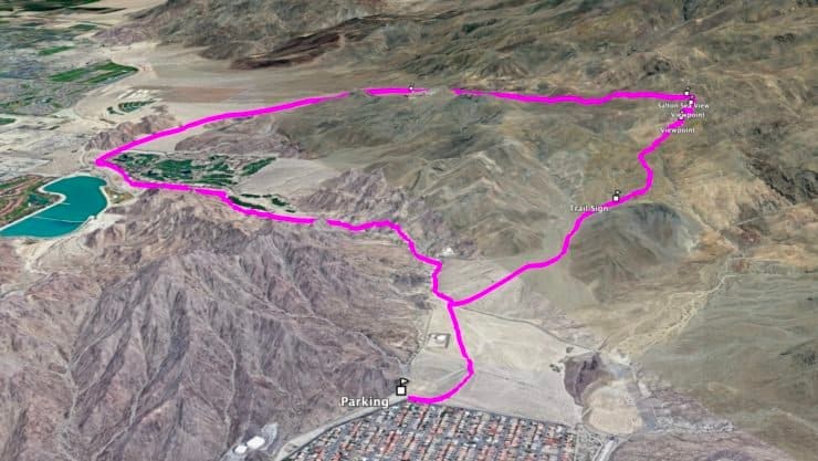
3D Map
The route is a lollipop loop going counter-clockwise. You'll get the tough climb done in the first stretch, then descend to the lake, and then climb back out to the start.
Who is Boo Hoff?
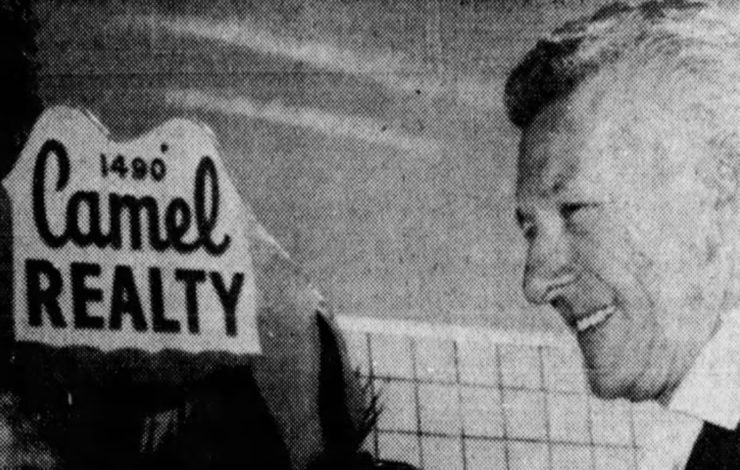
This is Boo Hoff. Photo Desert Sun (1969)
Boo Hoff was a member and president of the famous Desert Riders Club, an equestrian group founded in 1930. In Palm Spring's heyday the Desert Riders became "a place to be" in social circles, and included the old movie stars like Clark Gable, Henry Fonda and Cary Grant.
The Desert Riders are responsible for most of the current trail network in the Palm Springs area. Their trail work fortified many of the native paths in the area, and today many of the trails are named after prominent Desert Riders (including the Boo Hoff Trail). I have guides to many more of these trails in the Palm Springs area if you want to explore others.
Why "Boo?" He was born as Mered Arthur Hoff in the Philadelphia suburb of Lansdale in 1911, and when he was a kid, there was a famous Philly gangster (and Al Capone buddy) named Boo-Boo Hoff. His buddies nicknamed him "Boo" after the gangster and it stuck when he moved to the Palm Springs area in the 1950s.
The Boo Hoff Trail was originally a native path called the Old Guadalupe Trail. Boo was known for protecting and rebuilding historic native paths, and in 1979 the trail was renamed after him. At the dedication he was lauded as the man whose "mission is to introduce the beauty and mystery of the Old Guadalupe Trail to those prepared for the challenge."
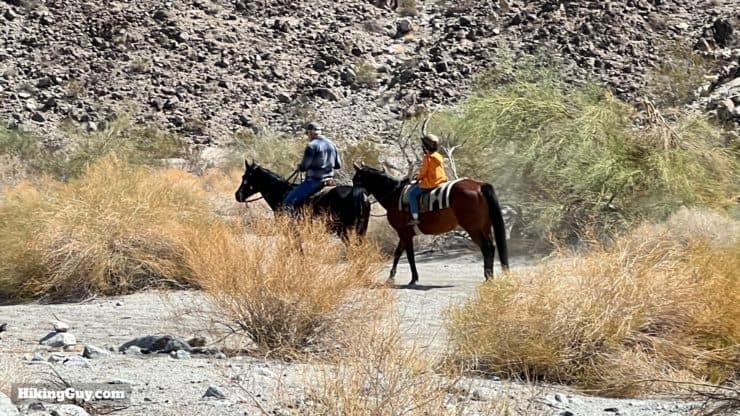
Today you can still see equestrians enjoying the trail.
Boo Hoof Loop Hike Directions
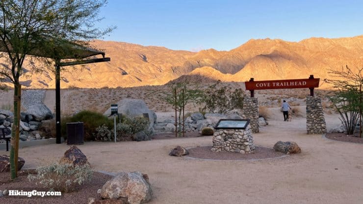
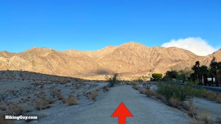
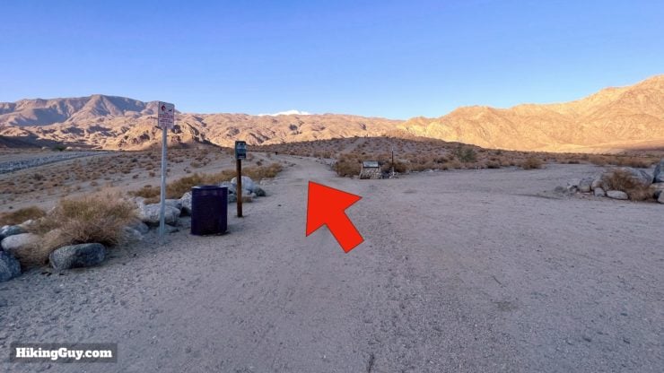
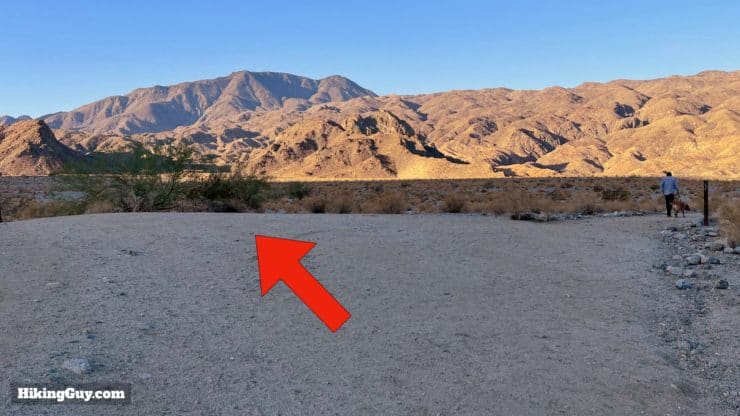
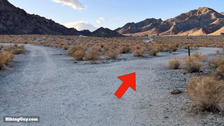
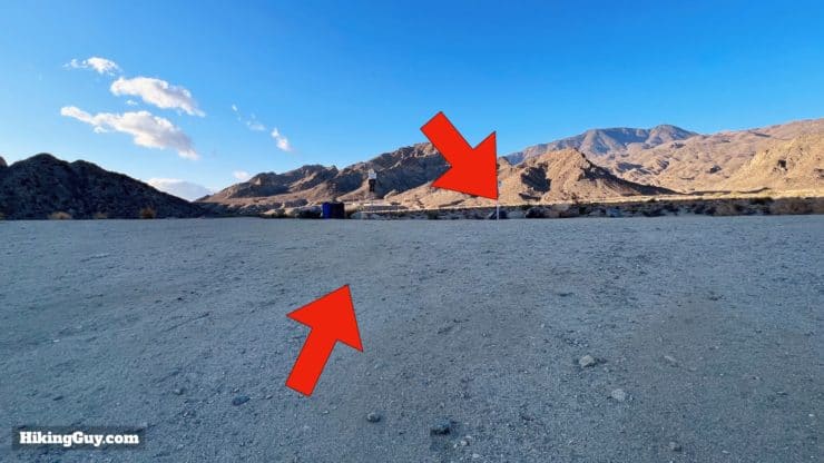
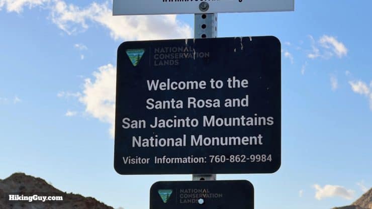
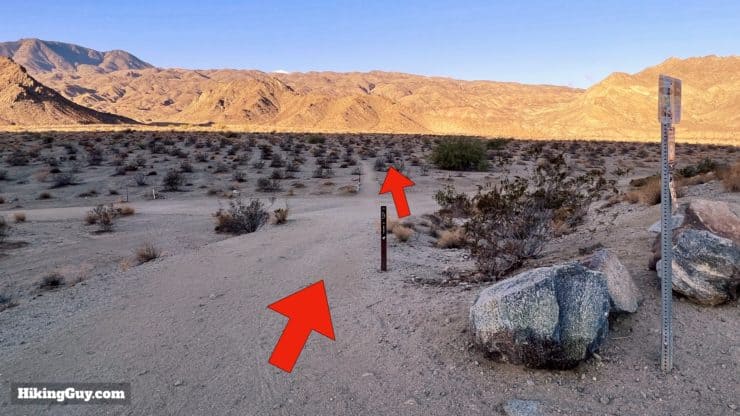
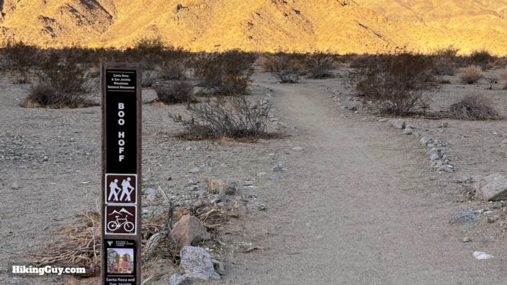
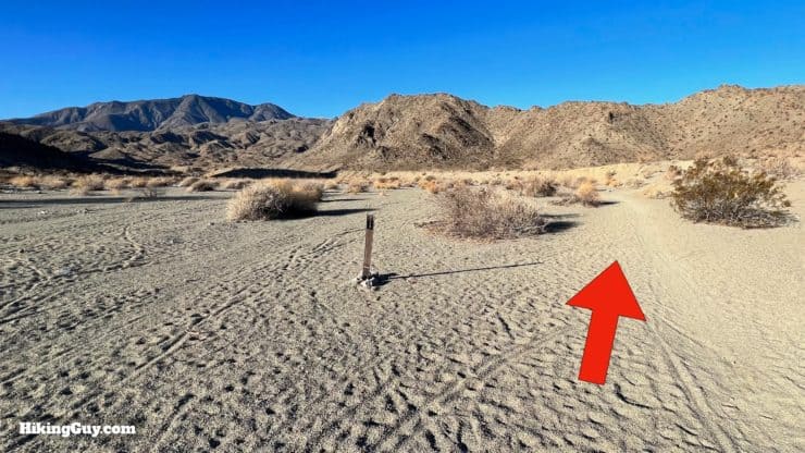
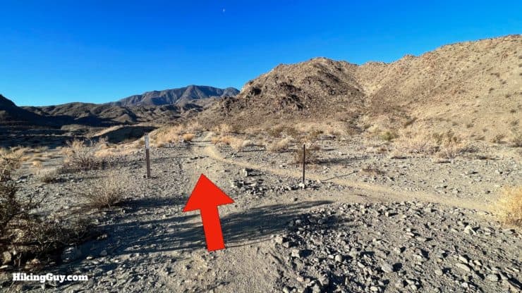
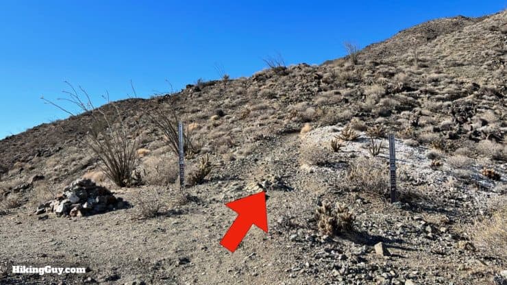
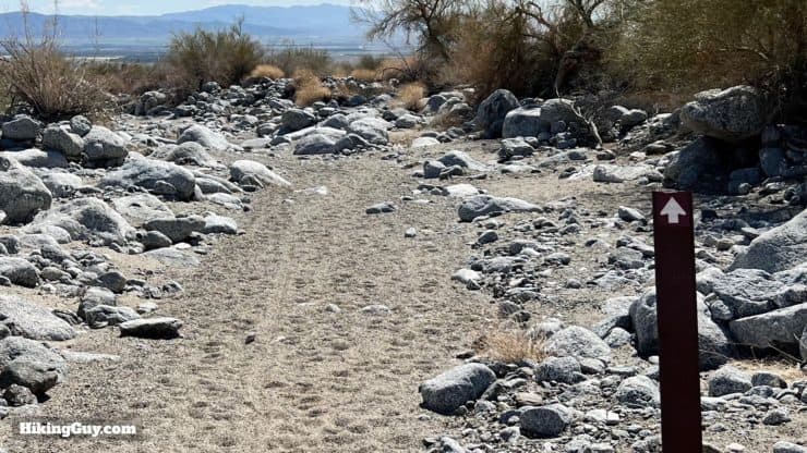
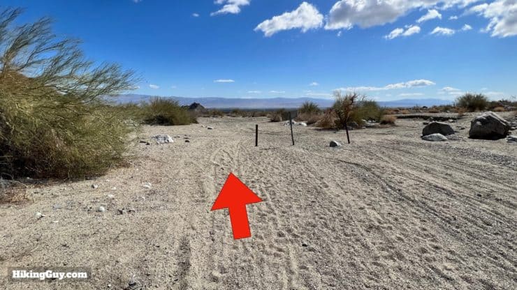
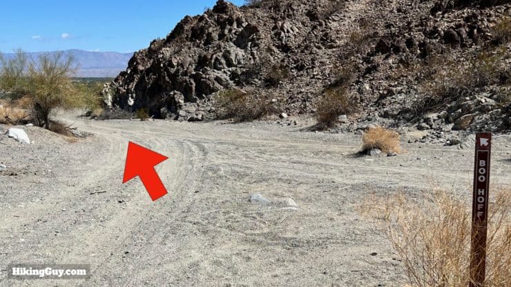
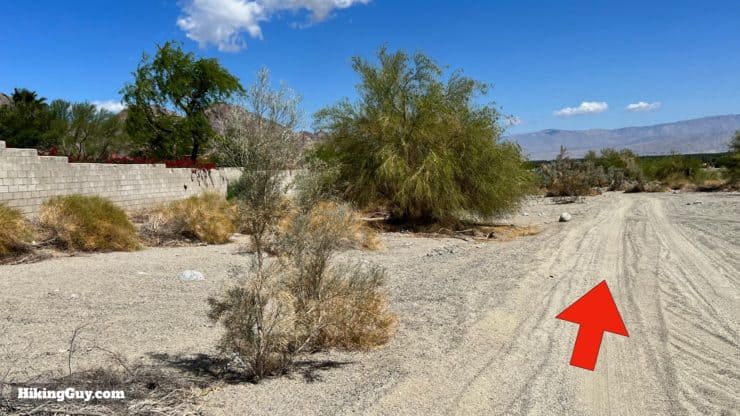
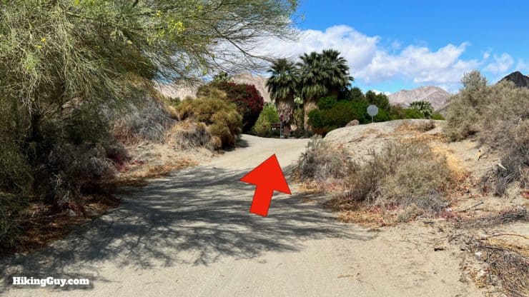
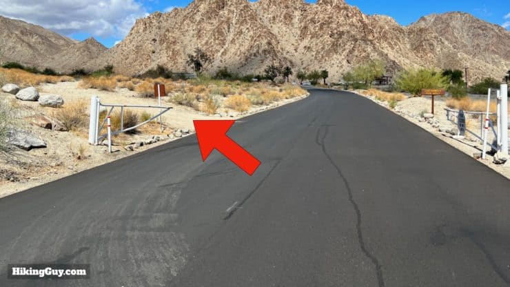
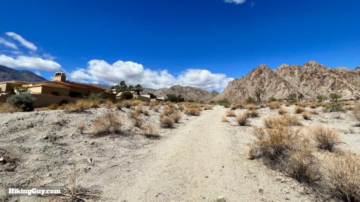
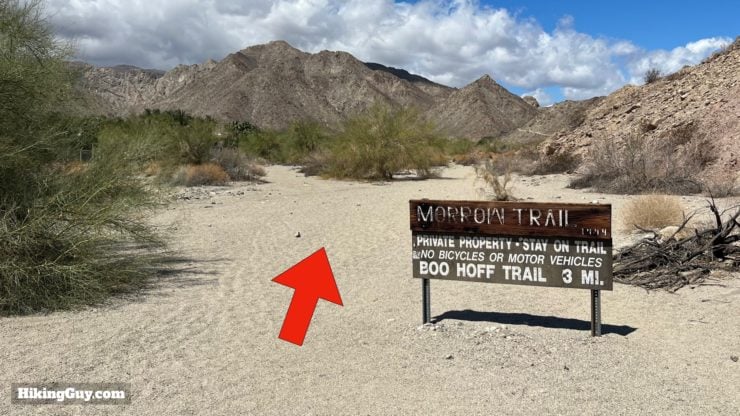
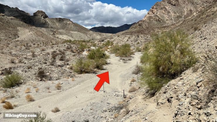
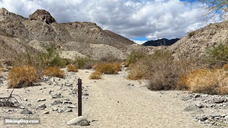
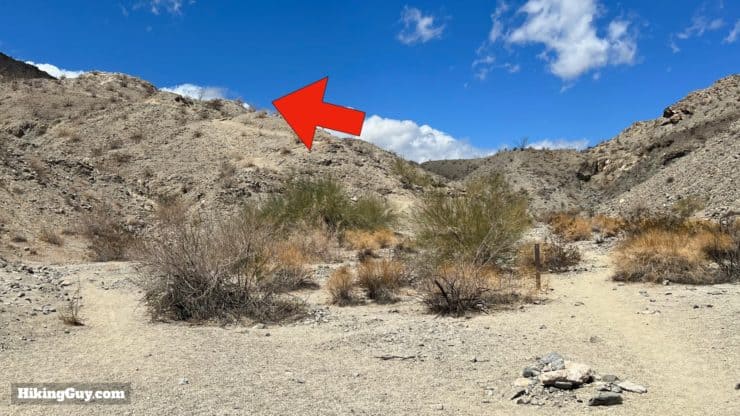
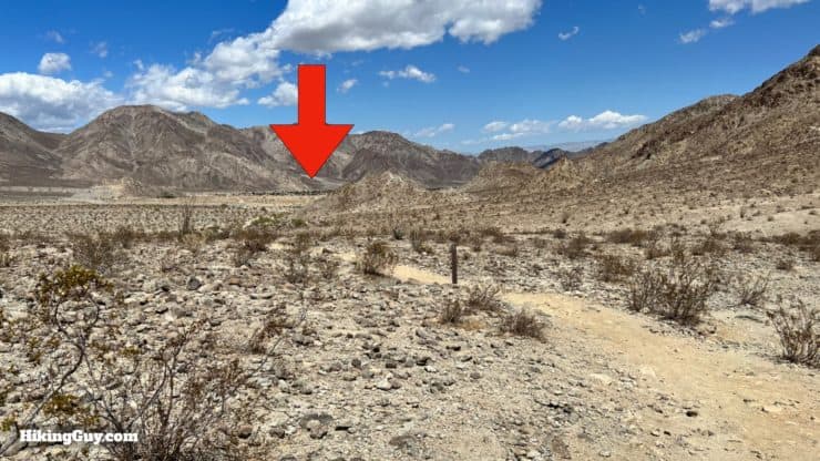
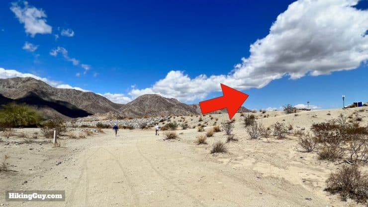
Hike through the Cove Trailhead sign.Go straight along the road.And then bear left onto the beginning of the trail. There are a lot of small use trails around the start. Stay on the larger main trail.You'll see a trail marker for the Boo Hoff when you make the turn.Follow the wide path toward the hills.At the split, bear left.And then follow the main trail around the water tanks (and their access trails) on the left. You can see the main trail has a marker (on the right).Keep following the trail markers.When you get to the small rise, go up and over.The small rise marks the beginning of the National Monument.Once over the small rise, there's a junction. Go straight to start on the Boo Hoff Trail.
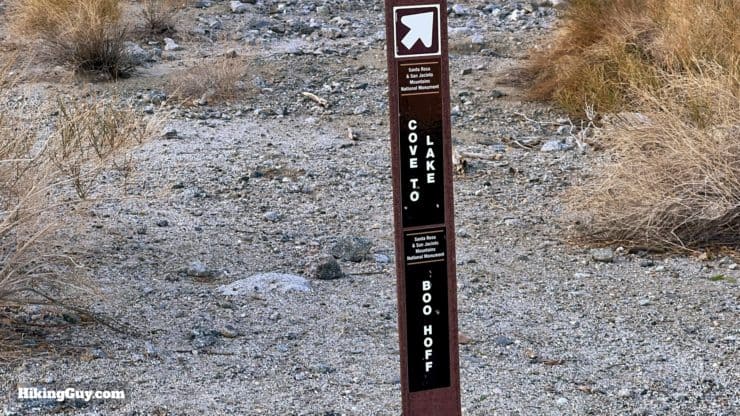
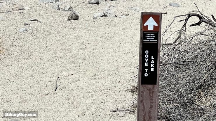
When you return, you'll come back on the Cove to Lake trail from the left.
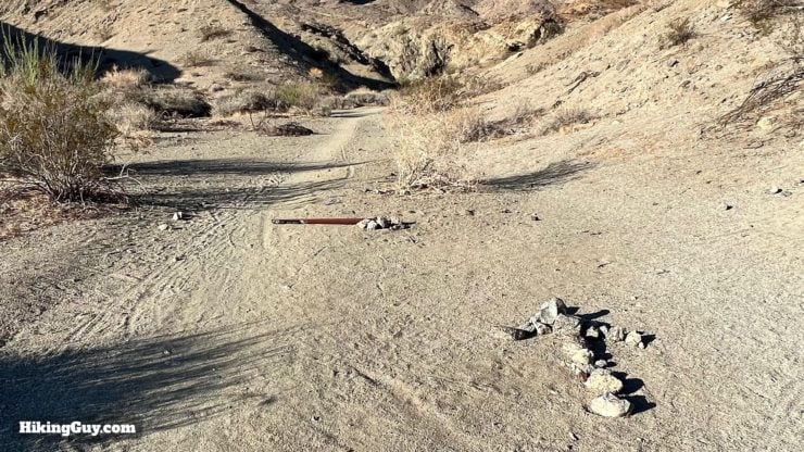
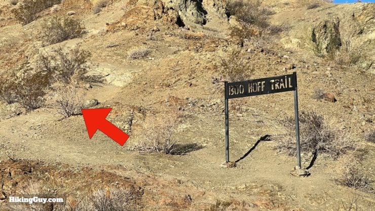
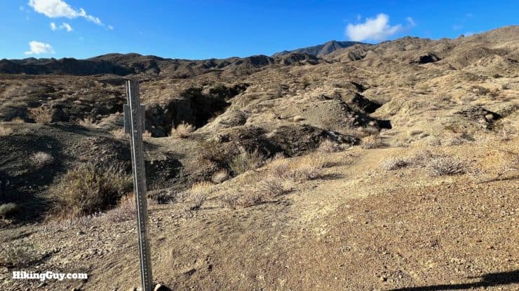
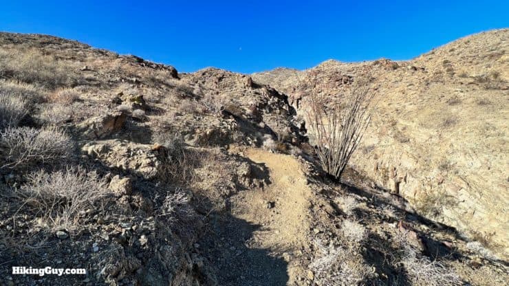
Now we've left the network of confusing trails at the beginning and are just following the one, Boo Hoff Trail, to continue.The trail climbs gently up the wash. There are many tracks along the wash from bikes, horses, and people going off-trail. A good amount of trail signs ensure that you're on the right path.Go straight past the junction where the connector trail to Cove Oasis joins.The trail will dip in and out of the wash a few times. Follow the trail markers.You'll see the iron Boo Hoff Trail sign. The trail climbs up to the left from the sign.Now the climb begins in earnest.Pass the trail counter used to measure trail usage.
Why do the trail counters have American flags on them? Land managers have found that when a trail sign has an American flag on it, it doesn't get vandalized or stolen.
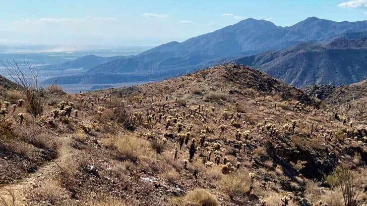
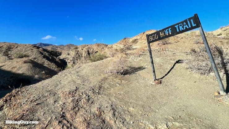
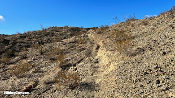
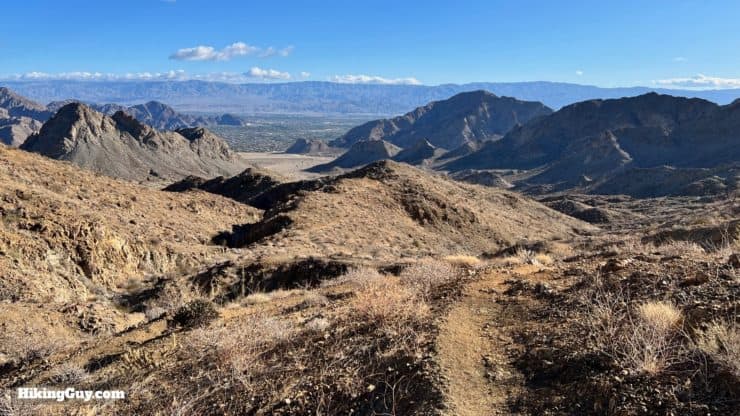
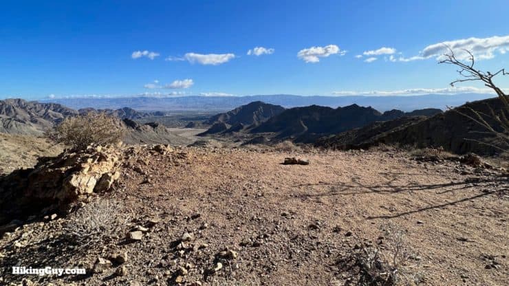
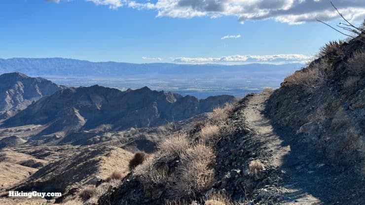
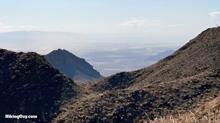
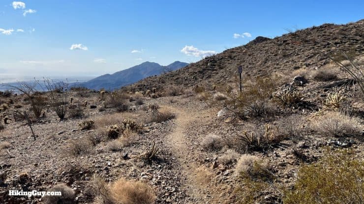
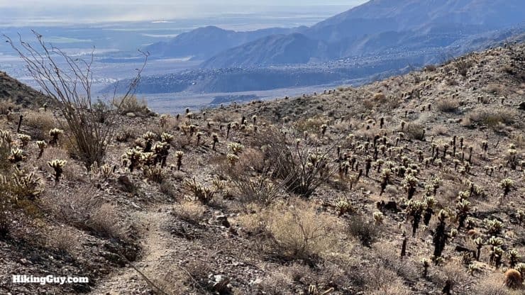
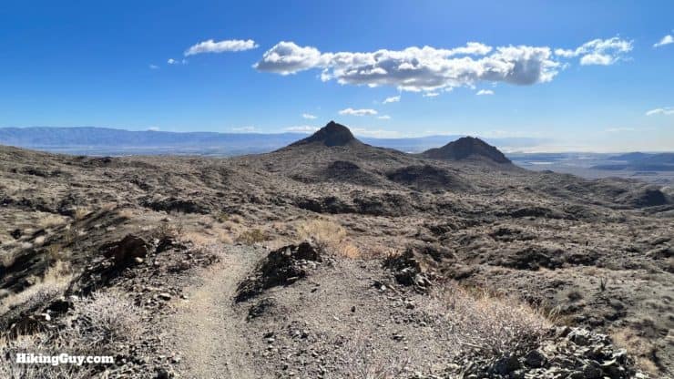
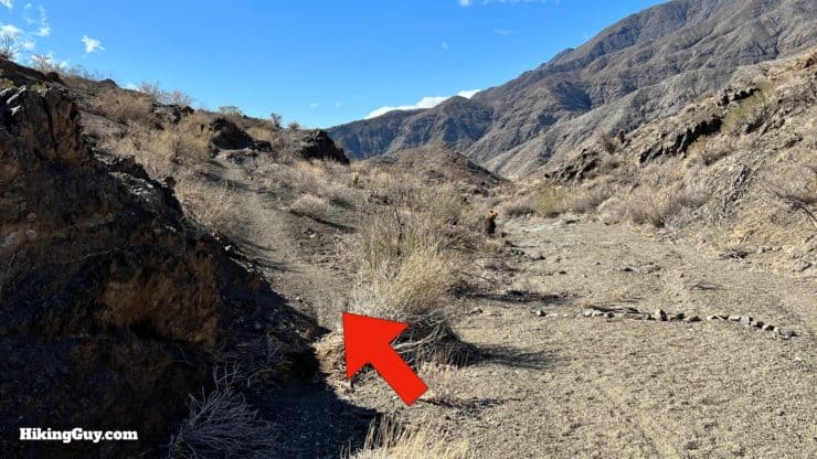
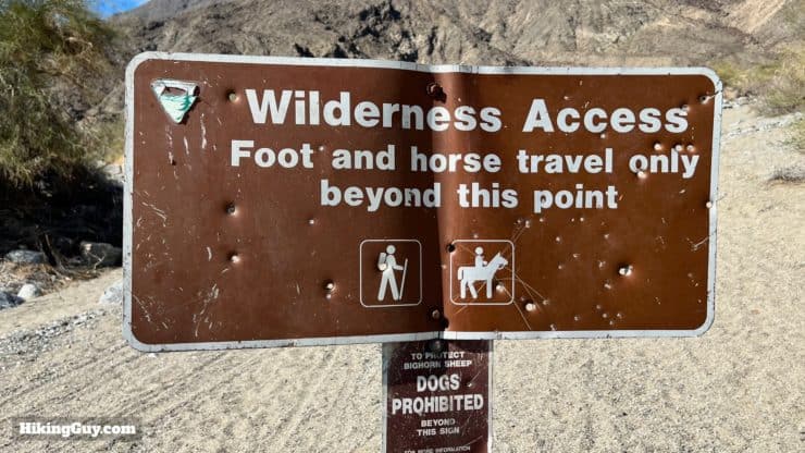
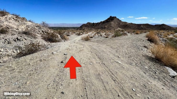
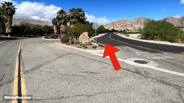
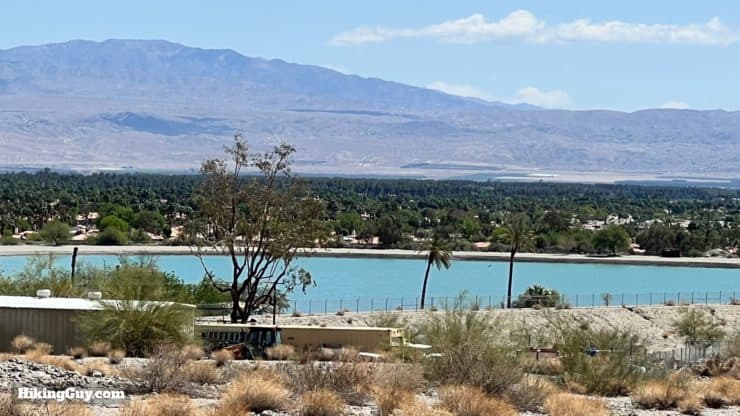
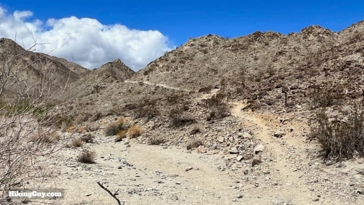
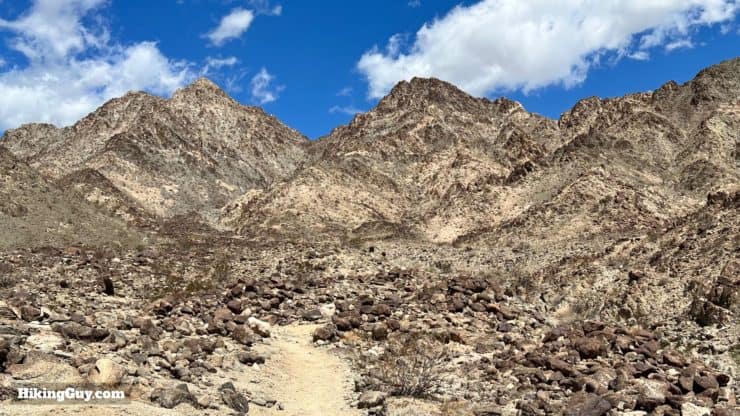
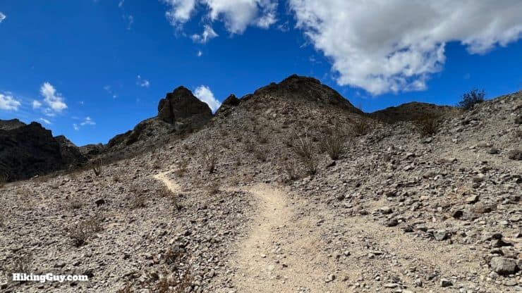
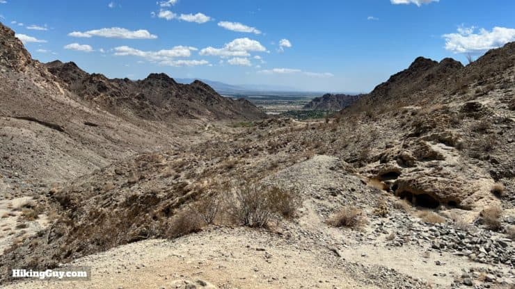
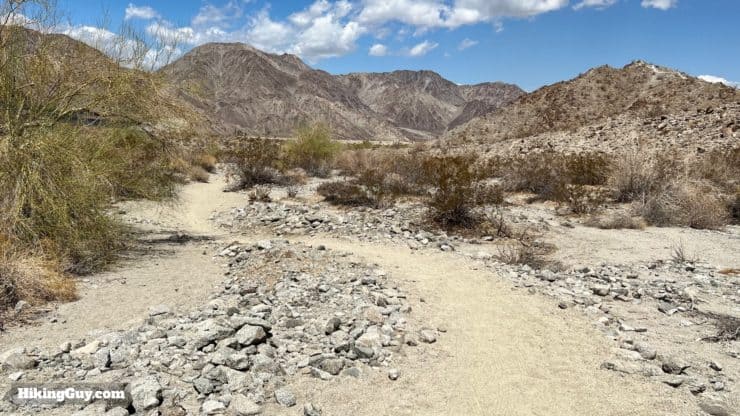
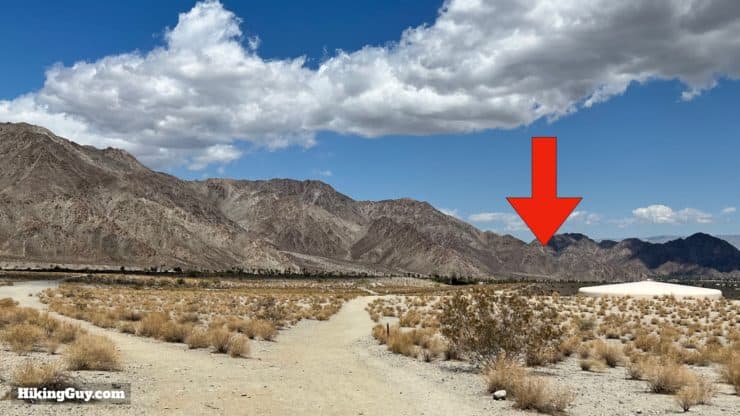
Follow the main path uphill. Again, there are mountain bike and use trails that criss-cross over the main path on this section.At about 2.7 the switchbacks begin, making the climb a bit easier.Look back to enjoy incredible views. In the distance are the Little San Bernardino Mountains in Joshua Tree National Park.There are several wide viewpoint areas on the climb.As you climb you'll be able to see into the Coachella Valley to the east.Keep hiking uphill. The trail is well-marked.At about 3.5 miles you'll crest the summit. From here you have panoramic views from the Salton Sea to the high peaks of SoCal.Continue over the crest.And now start the long downhill through a grove of teddy bear cholla and barrel cacti. The trail follows Devil Canyon, which is ahead.The descent gets more gradual as you continue.You'll cross through several washes, all of which are well-marked.Soon you'll approach lower Devil Canyon.And then you'll see the other large Boo Hoff Trail sign around 6.4 miles in.After the sign we just follow the wash downhill.Pass through the wilderness area signs.Here's the sign at that last photo, looking backward.Now we just follow the wide sand road (still technically the Boo Hoff Trail) downhill. Stay straight on the main road.There's still the occasional "Boo Hoff Trail" marker along the way as the road winds to the left.At the bottom you'll reach the wall around the residences of "The Quarry at La Quinta," considered one of the best golf courses in the area. As you might guess from the many security cameras along the wall, the area is "members only."The road turns left and comes up to the paved road.Once you come up to the paved road, take the road to the right, Jefferson St.This is the least-fun section of the hike, but it's not too long. Follow along Jefferson St.When you get to the gates of Lake Cahuilla Park, take the sandy trail to the left.Follow the trail straight along the residences on the left.Look back for nice views of Lake Cahuilla.Keep straight past the trail sign.And follow the markers for the Cove to Lake Trail, which we'll be taking back to the start.The trail climbs out of the wash.And you'll hike along the Tom Fazio designed "The Quarry at La Quinta" golf course.
Golf Digest has rated the golf course here as one of “America’s 100 Greatest” every year since the list started in 1994. The course is limited to only 250 members at a time. The course was built on top of the old quarry known as "Keller Pit."
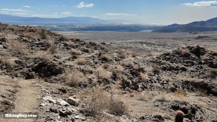
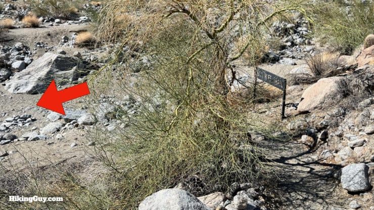
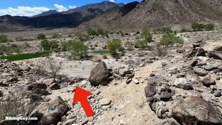
You'll descend into the wash along the course.And then climb back out.The area above the course here is especially beautiful.Then look for the (easy to miss) turnoff to descend back into the wash.Follow the wash uphill.The Cove to Lake trail is well-marked along the wash.At the head of the canyon, start the climb up the steeper slope.If this is a longer hike for you, this last climb can be tough after the earlier efforts.Look back for nice views into the canyon you just ascended.At the top of the climb you'll see the Cove Trailhead in the distance.Descend into the wash and follow the trail signs.Soon you'll reach the junction where you entered the area. Make the right back up the berm to retrace your steps to the start.Retrace your earlier steps back to the Cove Trailhead. That's it!


 Using the Apple Watch for Hiking
 Garmin Fenix 7 & Epix Review For Hikers
 How To Read a Topographic Map
 Garmin GPSMAP 67i Review
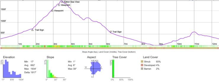

 Bear Creek Oasis Trail Guide
 Art Smith Trail Guide
 Palm Springs Hiking Trails
 Hikes In and Around Riverside County
 San Bernardino National Forest Hiking Trails
 Santa Rosa and San Jacinto Mountains National Monument Hikes
 Best Hiking Gear 2024
 Hiking Boots or Shoes: Do I Really Need Hiking Boots?
 When to Hit SOS on inReach