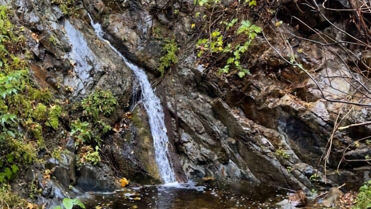

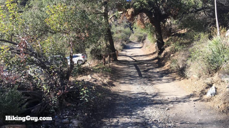
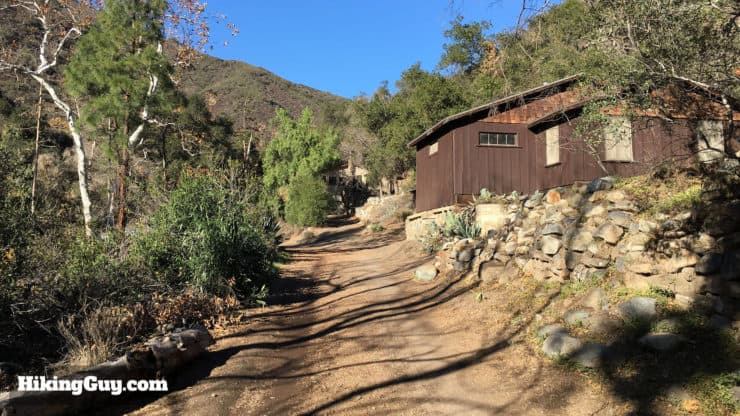
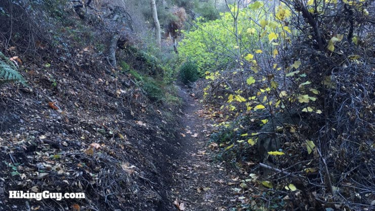
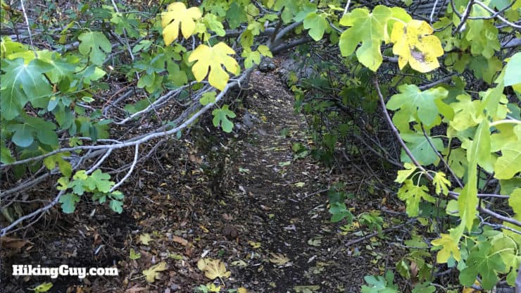
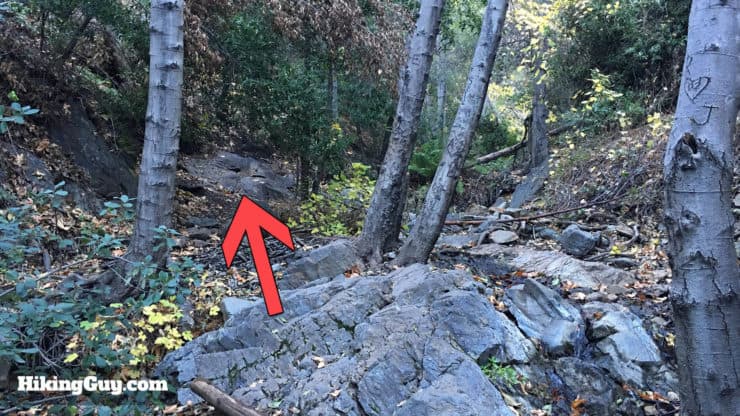
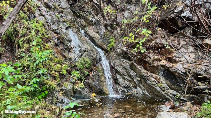
Tucked away in a hidden canyon in Cleveland National Forest, the hike to Holy Jim Falls is fun, easy, and great for families. The area recovering from the 2018 Holy Fire is still very lush and offers forest and tree cover not often found in Southern California. You'll hike up a gentle gradient along Holy Jim Creek and then turn off onto the Holy Jim Falls spur trail, which narrows as it approaches the falls.
- Turn by Turn Hike Directions & Video
- How to Get to Holy Jim Falls Trailhead
- Holy Jim Falls Trail Maps
Getting to the Holy Jim Falls Trail
Getting to the Holy Jim Falls Trail is half the fun. First off, use this as your Google Maps address:
Holy Jim Trailhead, Trabuco Creek Rd, Corona, CA 92883
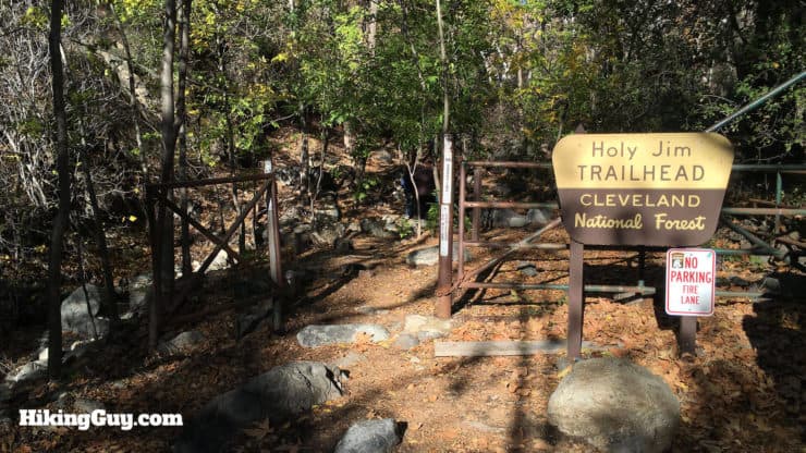
The last 5 or so miles drive to the trailhead are on a dirt road, and it's best done with a higher-clearance vehicle, but I've seen sedans do it before. Just take it slow and beware of potholes. If a Prius can do it (it can), you can do it too.
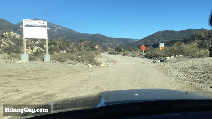
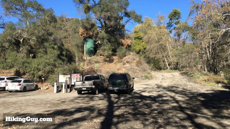
You need a parking pass for the Cleveland National Forest. I use the affordable National Parks Pass, which gets me in every national park, national monument, and national forest. You can also use an (Southern California only) Adventure Pass, or buy a $5 day permit from the Trabuco General Store.
Gear for the Hike
This is a pretty easy hike that you can do in fitness clothes. There can be poison oak along the last section of the hike, so you should either be careful or wear long pants.
Gear That I Love Right Now
Nothing is sponsored or promoted, just the actual gear that I use.


Holy Jim Falls Trail Maps
How Will You Navigate?
 Using the Apple Watch for Hiking
 Garmin Fenix 7 & Epix Review For Hikers
 How To Read a Topographic Map
 Garmin GPSMAP 67i Review
Hike Brief
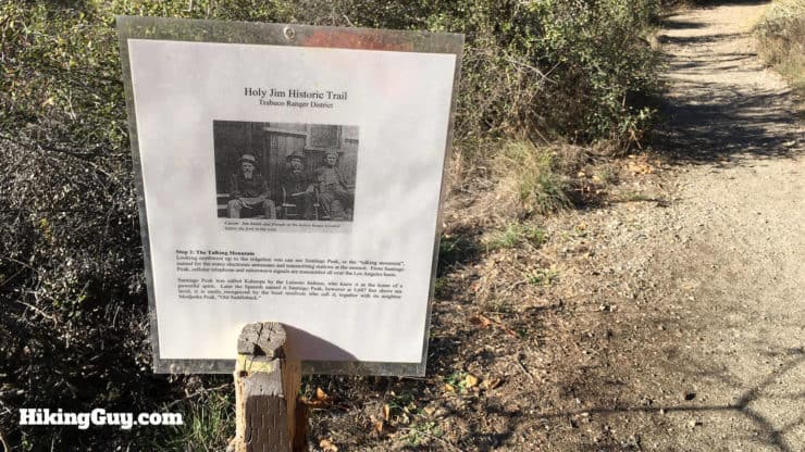
Why is this area called Holy Jim Falls? Well, in the 1870s this area was popular with beekeepers, and there was one called James T. Smith, who evidently was a bit of an unsavory character. He earned the nicknames of "Cussin' Jim", "Lying Jim" and "Greasy Jim." To irritate him, his neighbors started calling him "Salvation Jim" or "Holy Jim." When government surveyors came through and asked who owned the land, Jim's clever friends said "Holy Jim," forever etching this joke into geographical history.
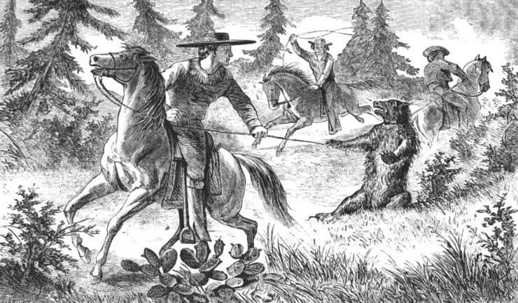
There's also some sad history at Holy Jim Canyon. It was here on January 5, 1908, that the last confirmed grizzly bear kill in California occurred. The California Grizzly adorns the state flag today, but they are extinct (in CA). It wasn't always that way. Grizzlies used to roam all of the lower areas of Cleveland National Forest up to the 1860s.The government put a bounty of $10 a head on the grizzly, and by the 1870s, they were mostly gone.
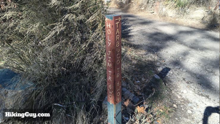
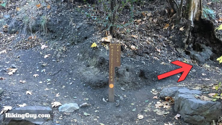
The hike to Holy Jim Falls is a nice, easy hike. If you want to hike to the top of Saddleback Mountain, it's a serious effort and best left to hikers with experience and fitness. Here's what's involved with the hike to Saddleback Mountain. These two hikes share the trail for a while, so you'll see signs for Saddleback / Santiago peak as well.
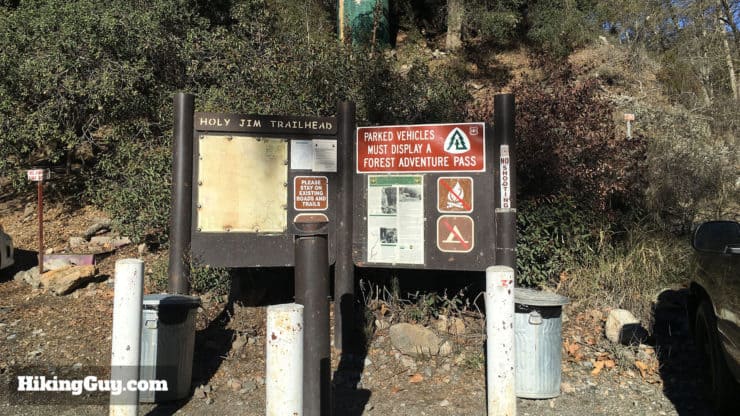
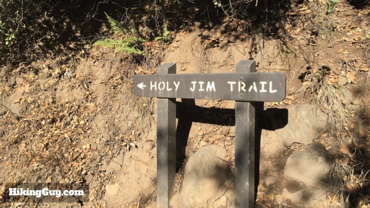
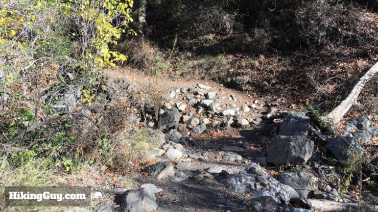
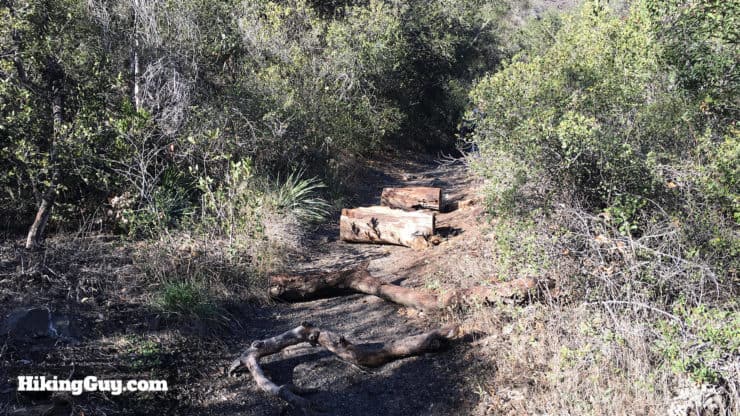
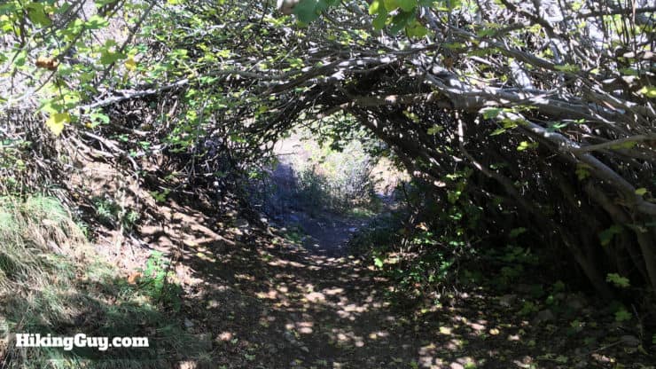
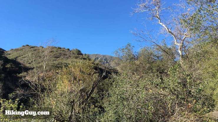
Holy Jim Falls Hike Directions
Need More Info?
- Have a question about the guide or want to see what other people are saying/asking? View the Youtube comments for this video. Leave a comment and I will do my best to respond.
- When planning, always check the park website and social media to make sure the trails are open. Similarly, check the weather and road conditions.
Related Guides
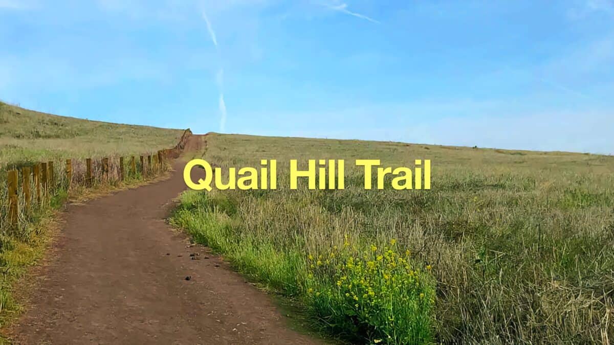 Quail Hill Trail
 Hike the Etiwanda Falls Trail
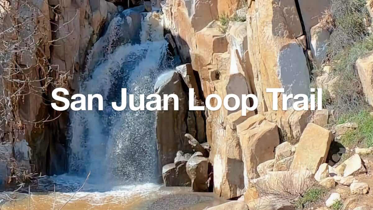 San Juan Loop Trail Guide (CA)
 Hikes In and Around Orange County
 Cleveland National Forest Hiking
Popular Guides
 Best Hiking Gear 2024
 Hiking Boots or Shoes: Do I Really Need Hiking Boots?
 When to Hit SOS on inReach
This Guide Was Written by Cris Hazzard

Hi, I'm Cris Hazzard, aka Hiking Guy, a professional outdoors guide, hiking expert, and author based in Southern California. I created this website to share all the great hikes I do with everyone else out there. This site is different because it gives detailed directions that even the beginning hiker can follow. I also share what hiking gear works and doesn't so you don't waste money. I don't do sponsored or promoted content; I share only the gear recommendations, hikes, and tips that I would with my family and friends. If you like the website and YouTube channel, please support these free guides (I couldn't do it without folks like you!). You can stay up to date with my new guides by following me on YouTube, Instagram, or by subscribing to my monthly newsletter.