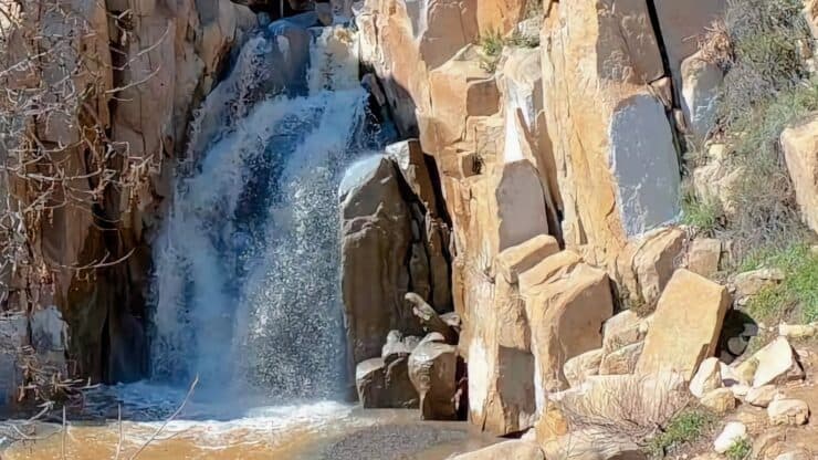

The San Juan Loop Trail by Lake Elsinore is a fun hike that offers an easy glimpse into the Cleveland National Forest's rugged beauty. You'll hike to Ortega Falls, a 35-foot waterfall in a steep ravine, and then you'll meander through lush canyons rich with wildflowers in the spring. The trail also follows San Juan Creek, which usually has water in the spring and early summer, and eventually drains out to the ocean. Overall the San Juan Loop Trail is a great family or beginners hike that packs a lot of scenery into a short distance.
- Video and Turn by Turn Directions for the San Juan Loop Trail
- How to Get to the San Juan Loop Trail
- Insider Hike Tips and What to Look For
How to Get to San Juan Loop Trail
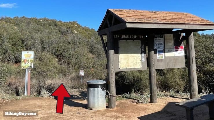
The San Juan Loop Trail's start is off of Rt-74, aka the Ortega Highway, which traverses the mountains of Cleveland National Forest. This hike starts roughly in the middle of the highway, in a large parking lot for hikers across from the Candy Store, a landmark on the road.
Use this address for the San Juan Loop Trail parking:
34950 Ortega Hwy, Lake Elsinore, CA, 92530
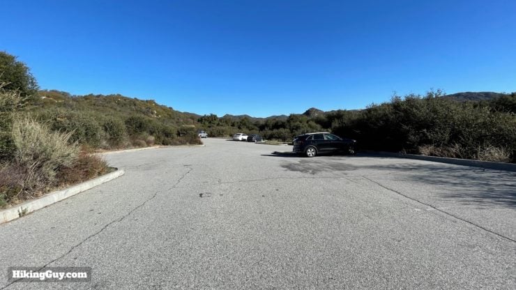
You need to display a National Parks Pass or Adventure Pass to park here. I highly recommend investing in the National Parks Pass, which allows you free entry at all federal lands and attractions, of which this is one.
When to Visit
The best time to hike the San Juan Loop Trail is when there's water flowing in the mountains, which usually means spring into early summer. The area becomes a rich green and is often a great place to spot wildflowers. Later in the year, and into winter, the falls and creek are often dry. It's still a nice hike without water though, don't let that stop you if you're considering a visit.
Gear for the Hike
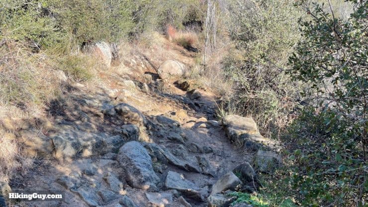
This is a light and easy hike, and you really don't need anything special to do it, but hiking gear or fitness clothing will serve you best. There are rocky sections on the hike, and good footwear like trail runners or hiking shoes, will give you the best experience. Bring 1L of water to make sure that you stay hydrated.
In the summer it can be hot and buggy. Having insect repellant ready will be a smart move.
Gear That I Love Right Now
Nothing is sponsored or promoted, just the actual gear that I use.


Check out the complete list here. ( Updated July 2024)
San Juan Loop Trail Maps
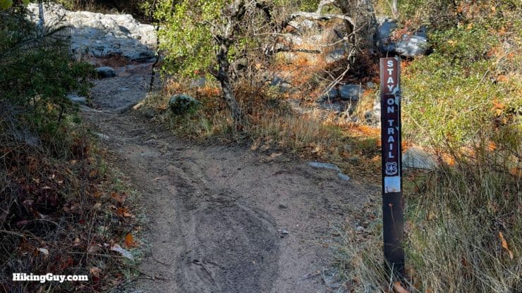
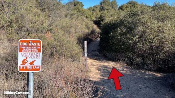
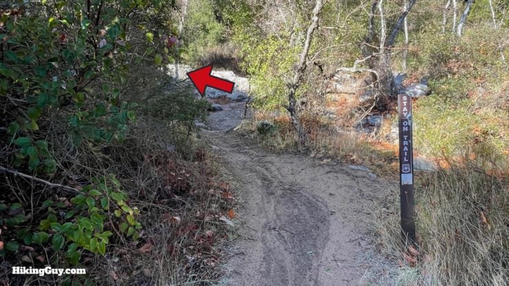
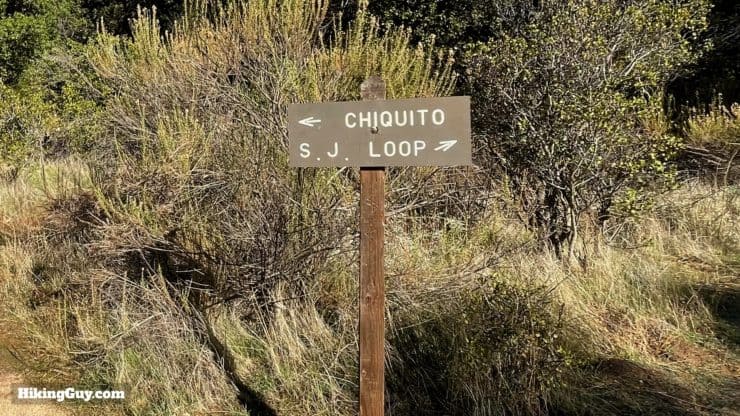
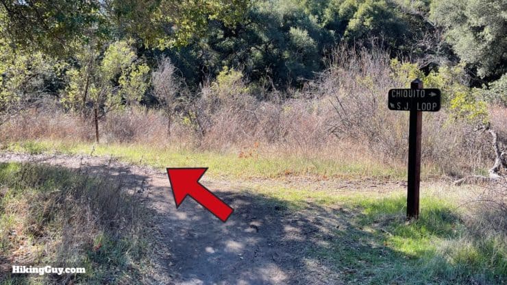
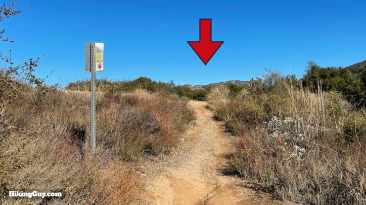
The trail is very easy to follow and there aren't really any tricky sections. Where there are small or old trails, there's generally a "stay on the trail' marker to help you out.
How Will You Navigate?
 Using the Apple Watch for Hiking
 Garmin Fenix 7 & Epix Review For Hikers
 How To Read a Topographic Map
 Garmin GPSMAP 67i Review
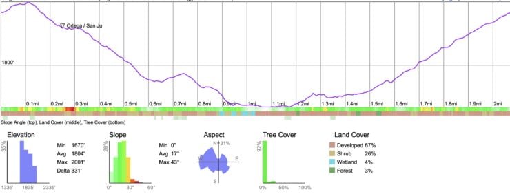
Elevation Profile
3d Map
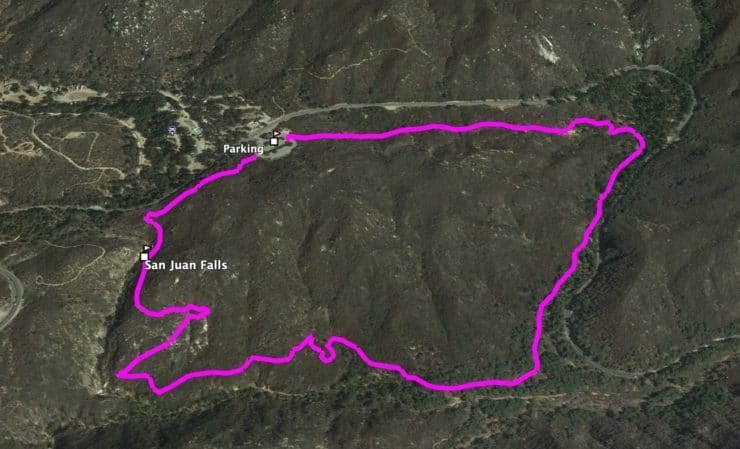
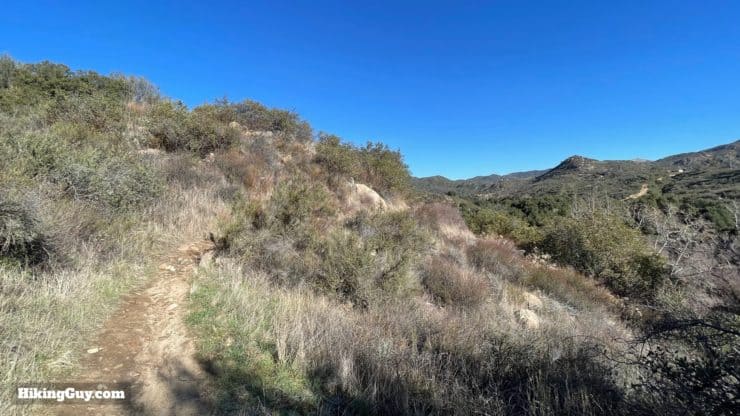
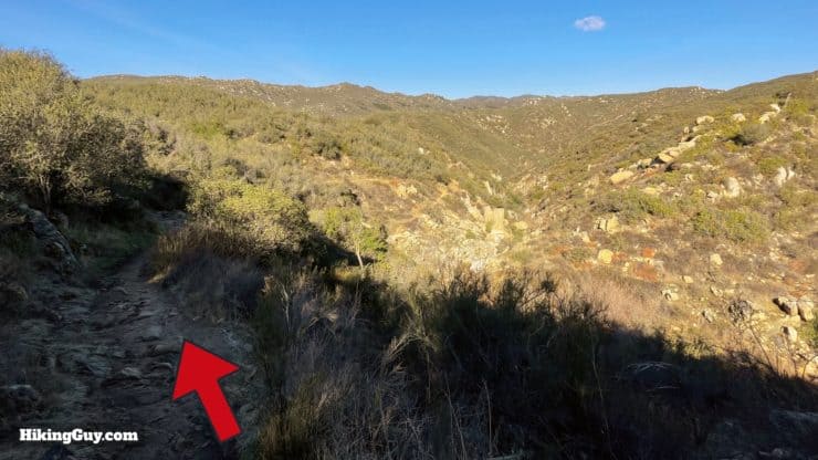
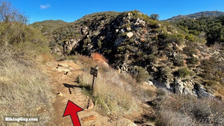
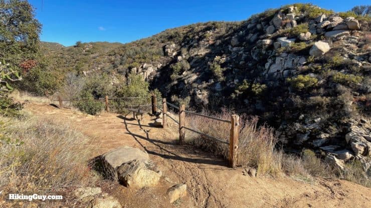
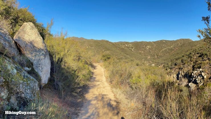
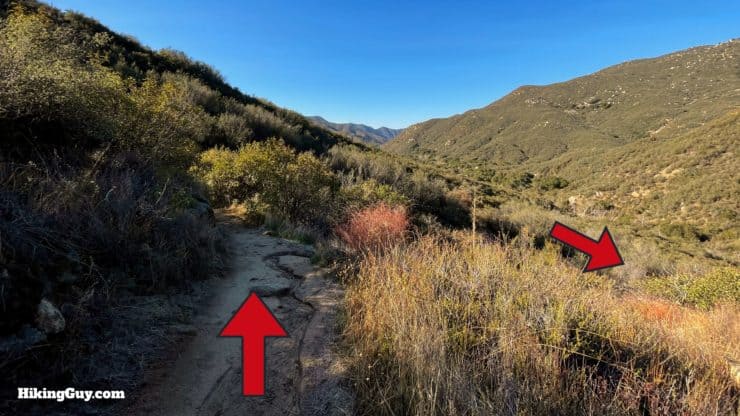
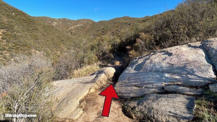
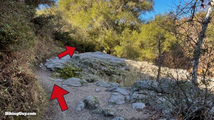
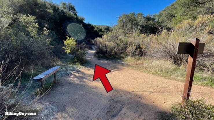
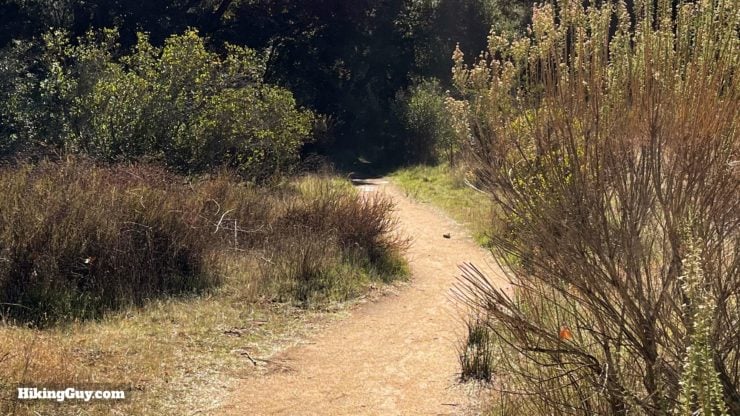
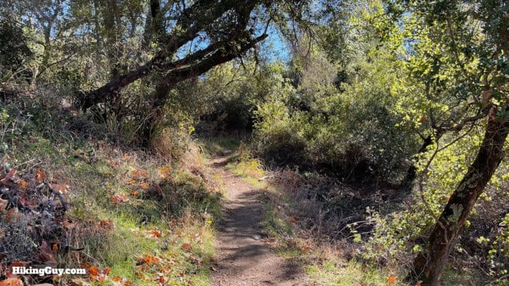
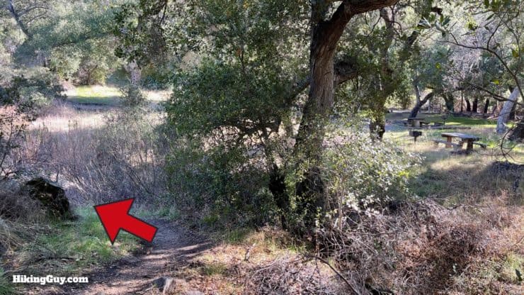
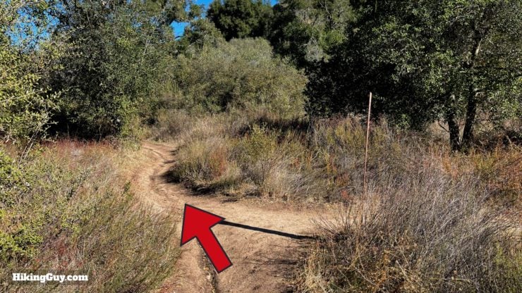
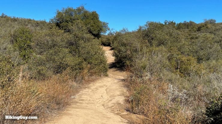
San Juan Loop Trail Hike Directions
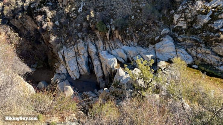
Here's what Ortega Falls looks like when there's a good amount of water in them.
Need More Info?
- Have a question about the guide? Join my Patreon and ask me a question.
- When planning, always check the park website and social media to make sure the trails are open. Similarly, check the weather and road conditions.
- Do you have an update to this guide? View the Youtube comments for this video. Leave a comment and I will do my best to update the guide.
Related Guides
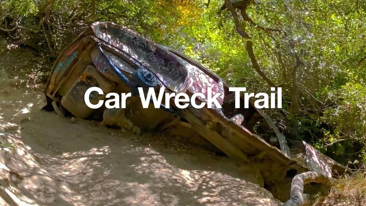 Car Wreck Trail (Laguna Beach)
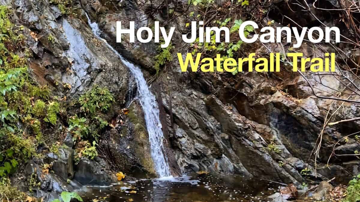 Hike Holy Jim Falls Trail
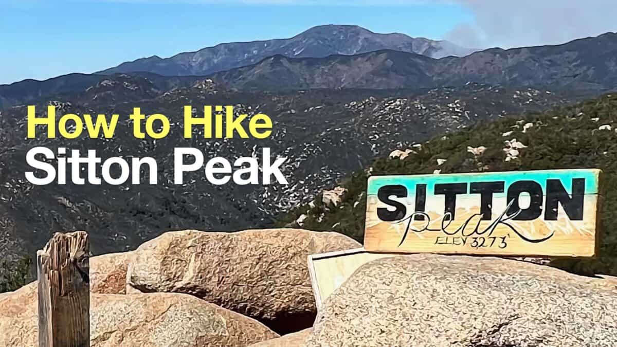 Sitton Peak Hike
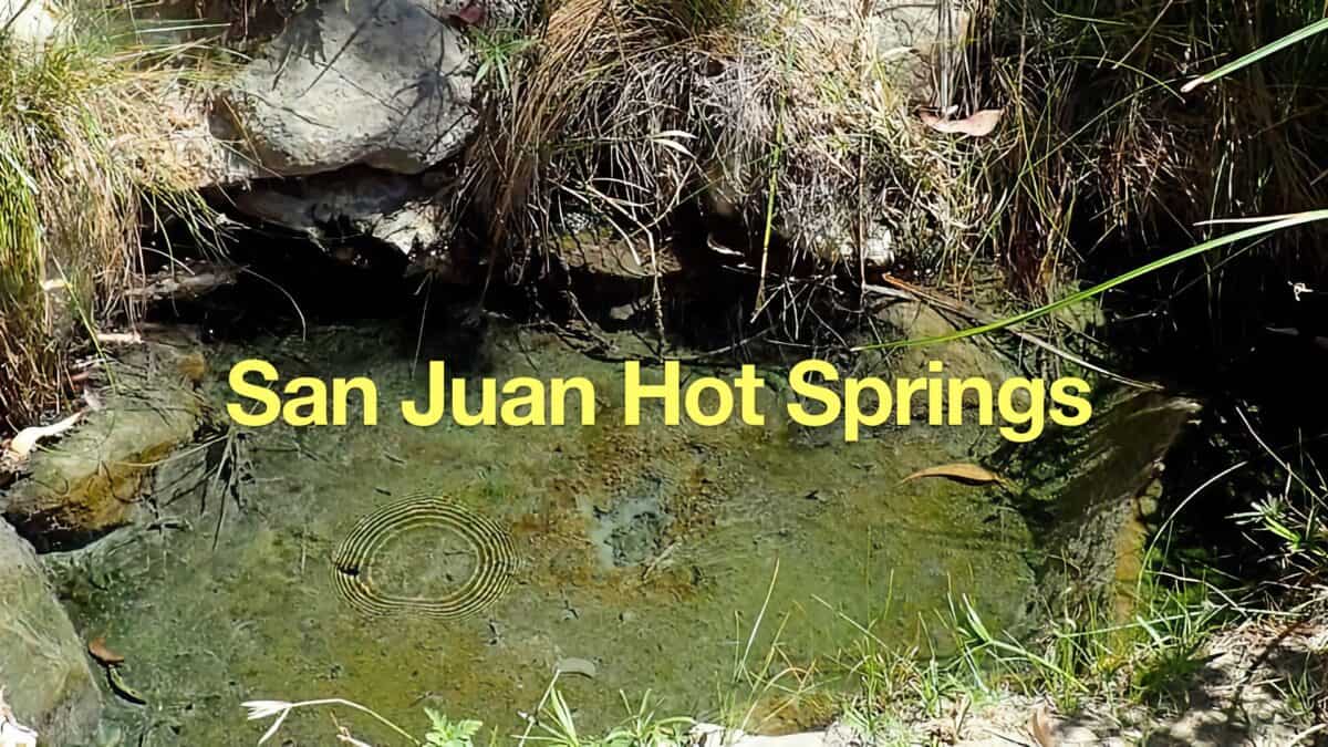 Caspers Wilderness Park - Hike San Juan Hot Springs
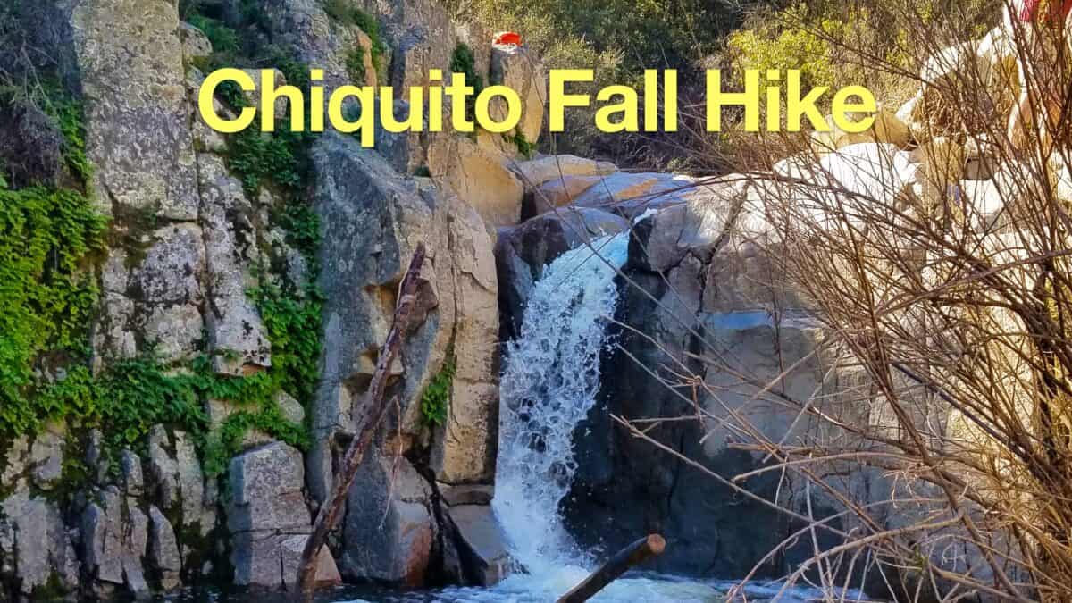 Hike the Chiquito Falls Trail
 Morgan Trail Hike (Cleveland National Forest)
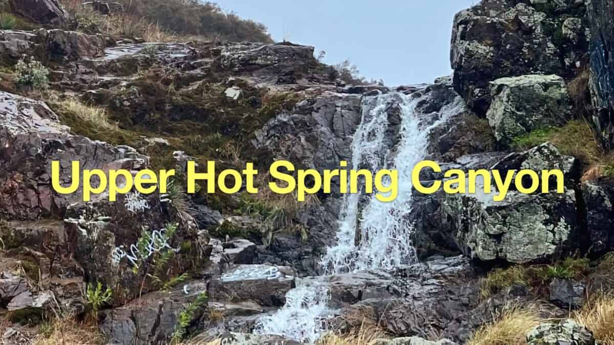 Upper Hot Spring Canyon Waterfall Hike
 Hikes In and Around Orange County
 Cleveland National Forest Hiking
 Hikes In and Around Riverside County
Popular Guides
 Best Hiking Gear 2024
 Hiking Boots or Shoes: Do I Really Need Hiking Boots?
 When to Hit SOS on inReach
This Guide Was Written by Cris Hazzard

Hi, I'm Cris Hazzard, aka Hiking Guy, a professional outdoors guide, hiking expert, and author based in Southern California. I created this website to share all the great hikes I do with everyone else out there. This site is different because it gives detailed directions that even the beginning hiker can follow. I also share what hiking gear works and doesn't so you don't waste money. I don't do sponsored or promoted content; I share only the gear recommendations, hikes, and tips that I would with my family and friends. If you like the website and YouTube channel, please support these free guides (I couldn't do it without folks like you!). You can stay up to date with my new guides by following me on YouTube, Instagram, or by subscribing to my monthly newsletter.