
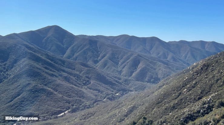
Nestled deep in Cleveland National Forest, the Chiquito Trail takes you away from the crowds visiting the popular San Juan Falls to a waterfall hidden in a secluded canyon up in hills, Chiquito Falls. To get there you have to hike up a moderate climb, but as with most climbs, you're rewarded with great views. The hike to Chiquito Falls is great for the hiker who's done the popular trails and now wants something a little different without the bigger crowds (like nearby Sitton Peak).
- Video and Turn by Turn Directions for the Chiquito Falls Trail
- Where is the Chiquito Falls Trail?
- Insider Hike Tips and Recommendations
Nestled deep in Cleveland National Forest, the Chiquito Trail takes you away from the crowds visiting the popular San Juan Falls to a waterfall hidden in a secluded canyon up in hills, Chiquito Falls. To get there you have to hike up a moderate climb, but as with most climbs, you're rewarded with great views. The hike to Chiquito Falls is great for the hiker who's done the popular trails and now wants something a little different without the bigger crowds (like nearby Sitton Peak).
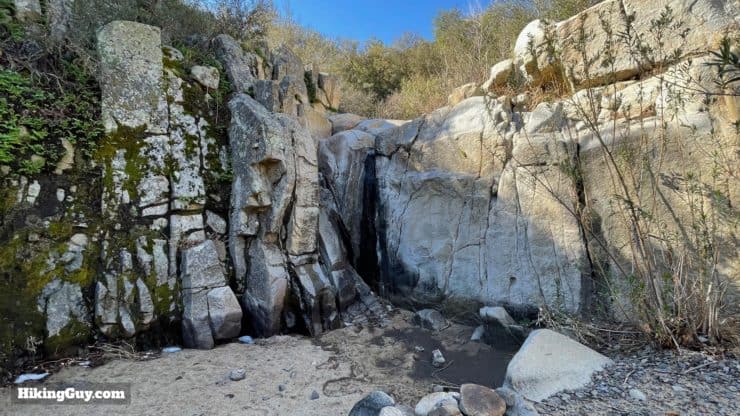
Spoiler alert: "chiquito" means small or tiny in Spanish, so don't expect a Niagara Falls experience. Regardless, Chiquito Falls is a lovely spot.
How to Get to Chiquito Falls
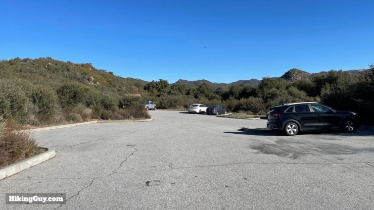
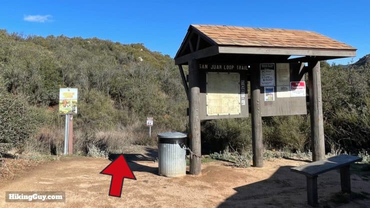
The hike to Chiquito Falls starts at the big trail parking area off Rt-74 (Ortega Highway), which is also the parking area for Sitton Peak and the San Juan Loop Trail. Use this trailhead address:
34950 Ortega Hwy, Lake Elsinore, CA, 92530
You need to display a National Parks Pass or Adventure Pass to park here. I highly recommend investing in the National Parks Pass, which allows you free entry at all federal lands and attractions, of which this is one.
Gear for the Hike
This is a proper backcountry hike and you should prepare accordingly.
- You'll need good hiking footwear for the trail, which is rocky in places. When there's water flowing, you have a couple of small streams to hop across and you might get wet feet.
- In the summer or warmer days this hike can be brutally hot and buggy. Try to do it when it's cooler out and bring insect repellant just in case.
- Generally 2L of water is good, but if it's hot, I'd bring more.
- Trekking poles will help on the climb, descent, and potential stream crossings.
Gear That I Love Right Now
Nothing is sponsored or promoted, just the actual gear that I use.


Check out the complete list here. ( Updated October 2024)
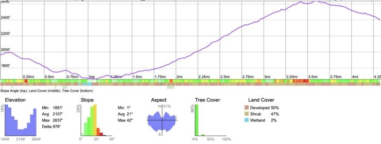
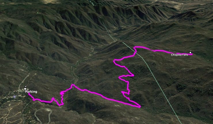
Chiquito Falls Trail Maps
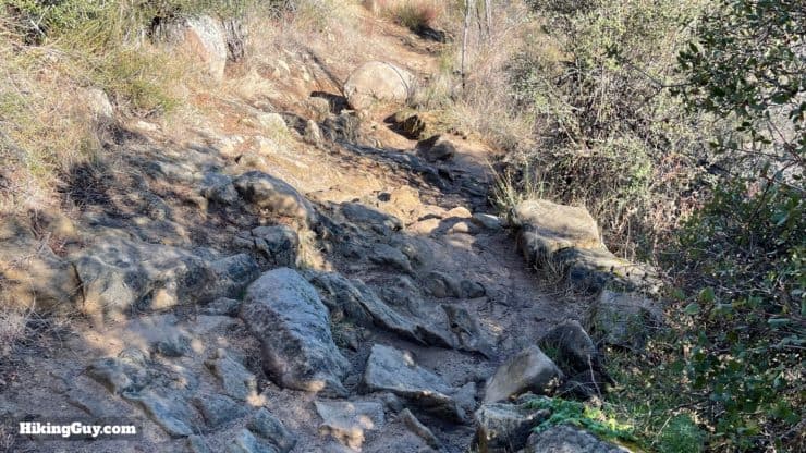
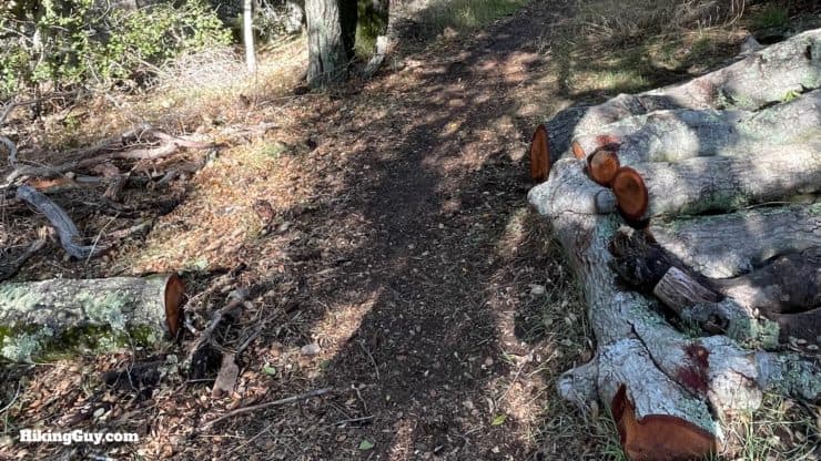
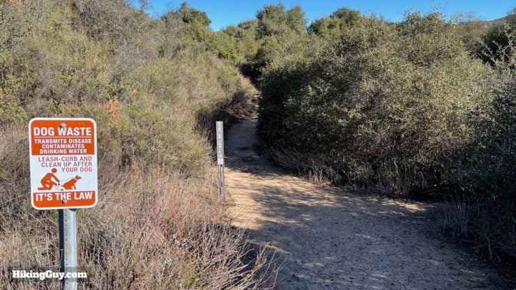
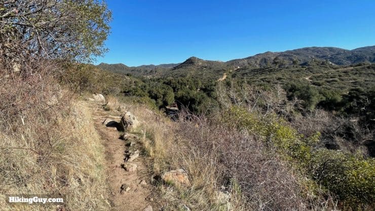
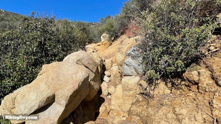
Overall, for such a remote trail, the Chiquito Trail is maintained and in good shape. The trail is also used by mountain bikers, and probably gets more traffic than you'd imagine.
How Will You Navigate?
 Using the Apple Watch for Hiking
 Garmin Fenix 7 & Epix Review For Hikers
 How To Read a Topographic Map
 Garmin GPSMAP 67i Review
Elevation Profile
3d Map
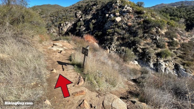
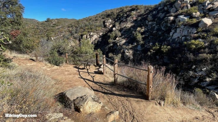
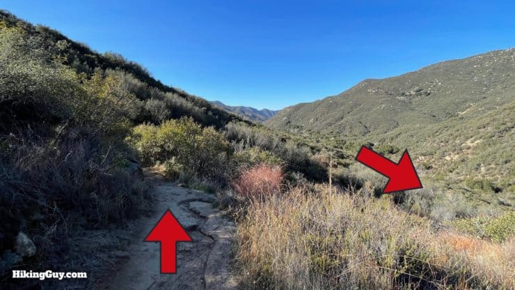
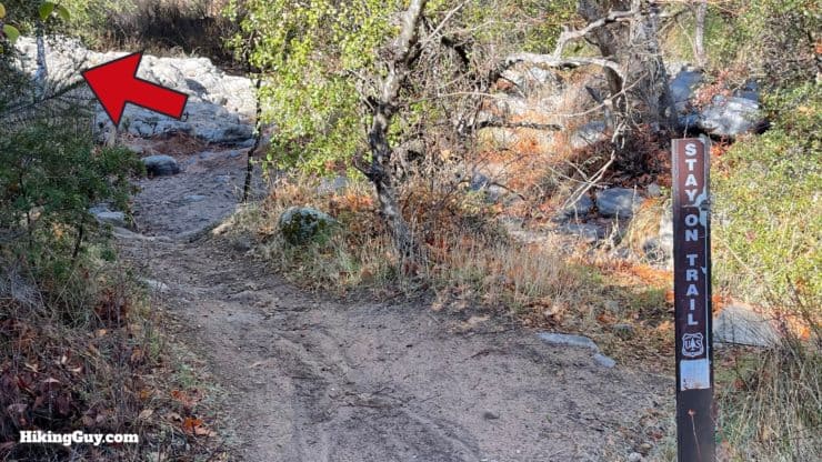
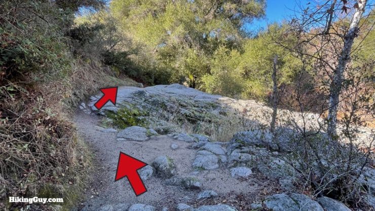
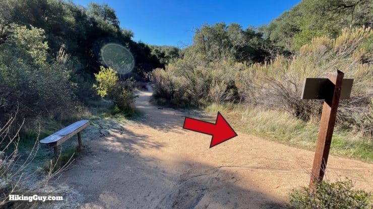
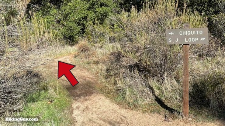
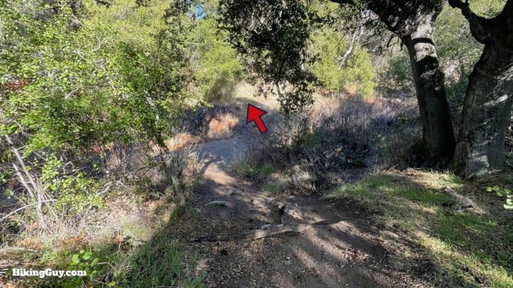
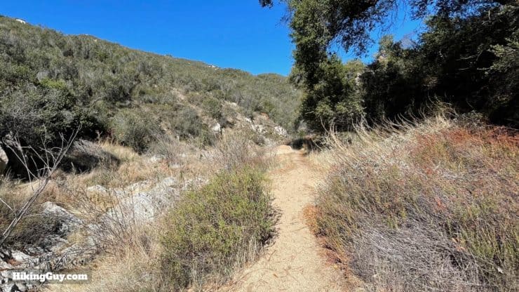
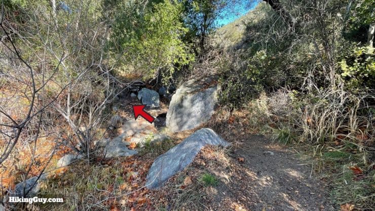
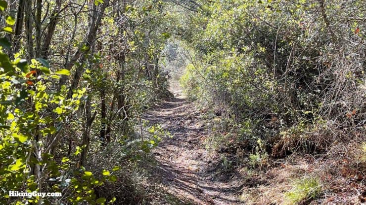
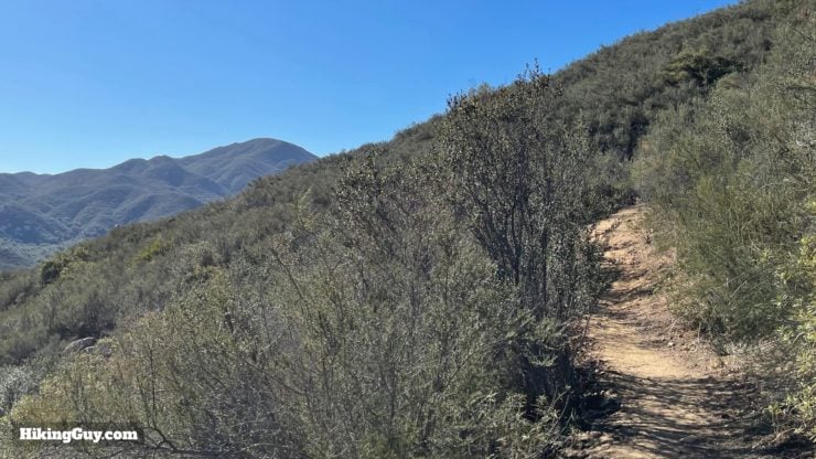
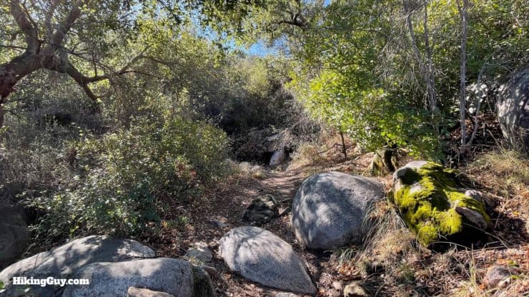
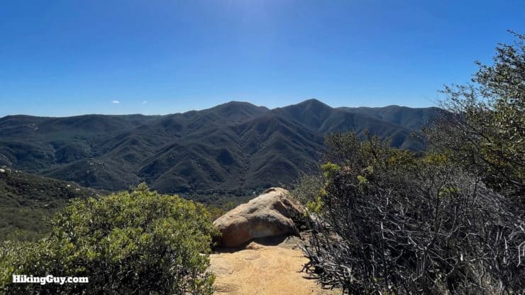
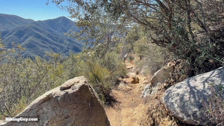
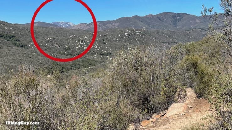
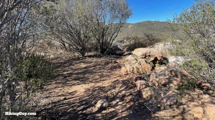
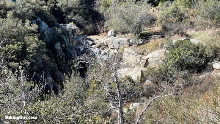
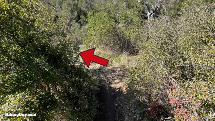
Chiquito Falls Hike Directions
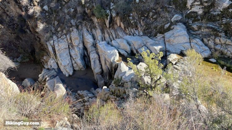
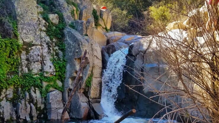
Chiquito Falls is named after Kenneth Munhall's horse. Munhall was a ranger here in the early days of the forest, and used to man the fire tower on Santiago Peak in the 1920s. Yup, there used to be a fire tower on Santiago Peak.
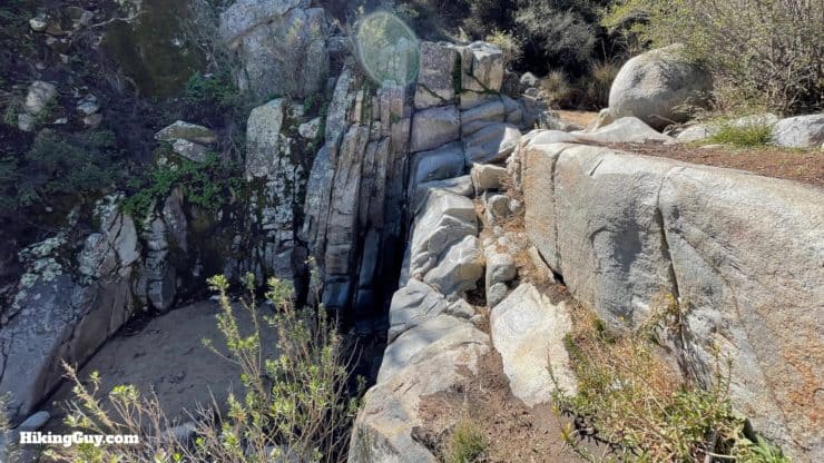
Here's what the falls look like when they're flowing.
When you're done at the falls, just go back the way you came. I generally take the right when I get back to the San Juan Loop Trail and hike the other half of the loop back to the start. It's not as rocky, a little more shady, and something different to see.
Need More Info?
- Have a question about the guide? Join my Patreon and ask me a question.
- When planning, always check the park website and social media to make sure the trails are open. Similarly, check the weather and road conditions.
- Do you have an update to this guide? View the Youtube comments for this video. Leave a comment and I will do my best to update the guide.
Related Guides
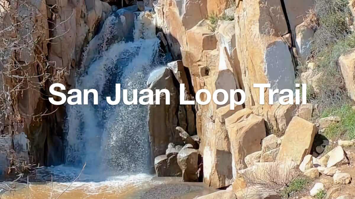 San Juan Loop Trail Guide (CA)
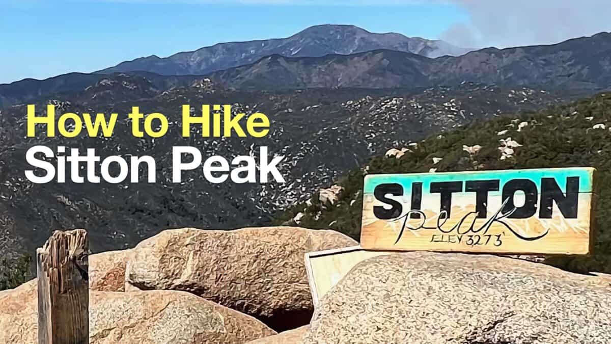 Sitton Peak Hike
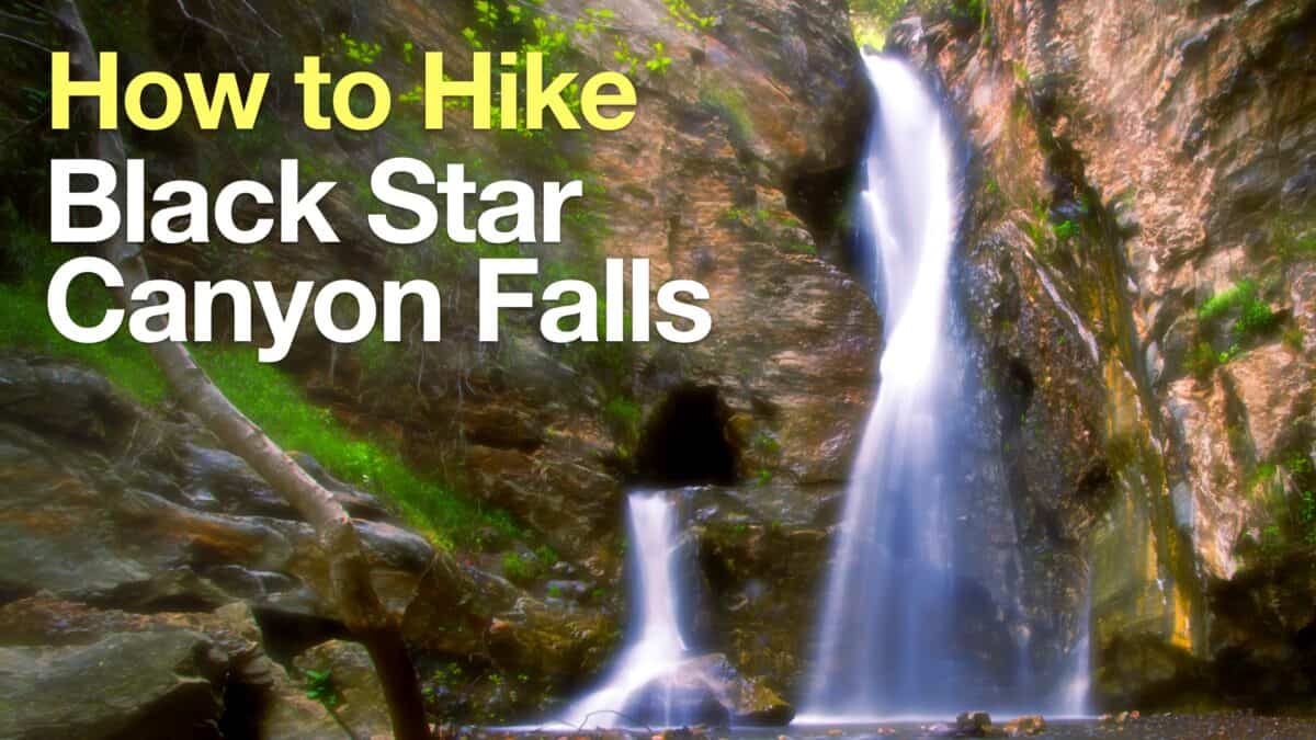 How to Hike Black Star Canyon Falls
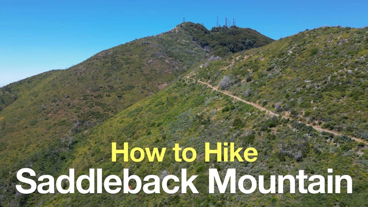 Saddleback Mountain Hike (Santiago Peak)
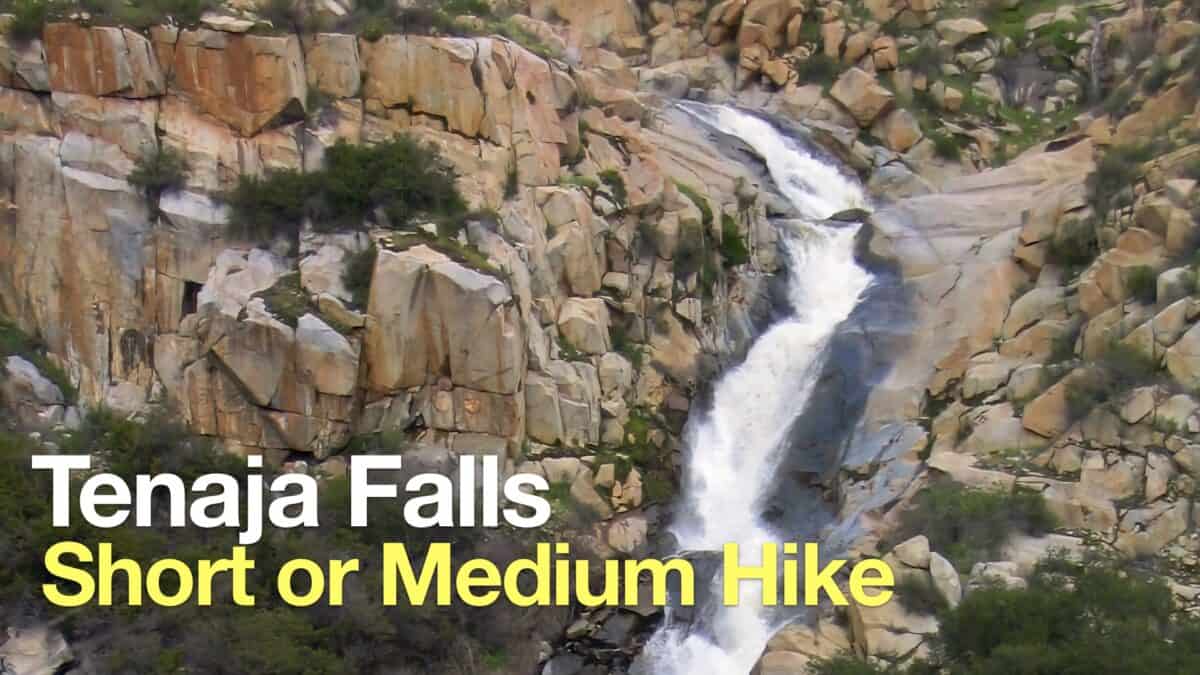 Tenaja Falls Trail Guide
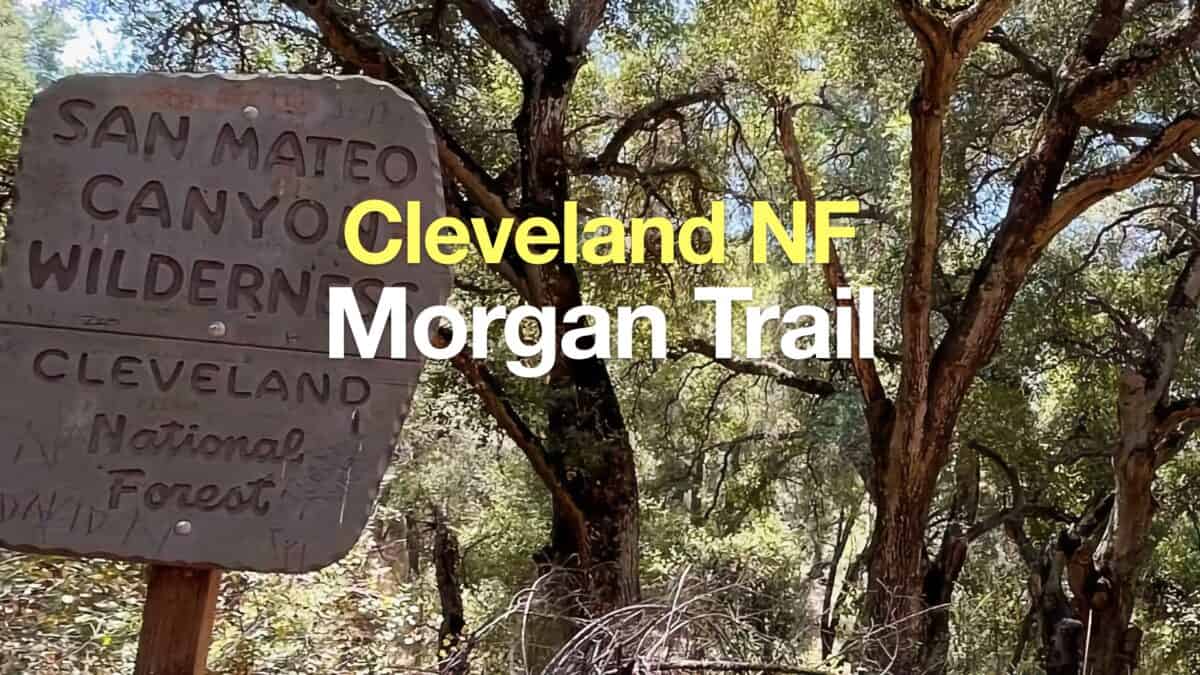 Morgan Trail Hike (Cleveland National Forest)
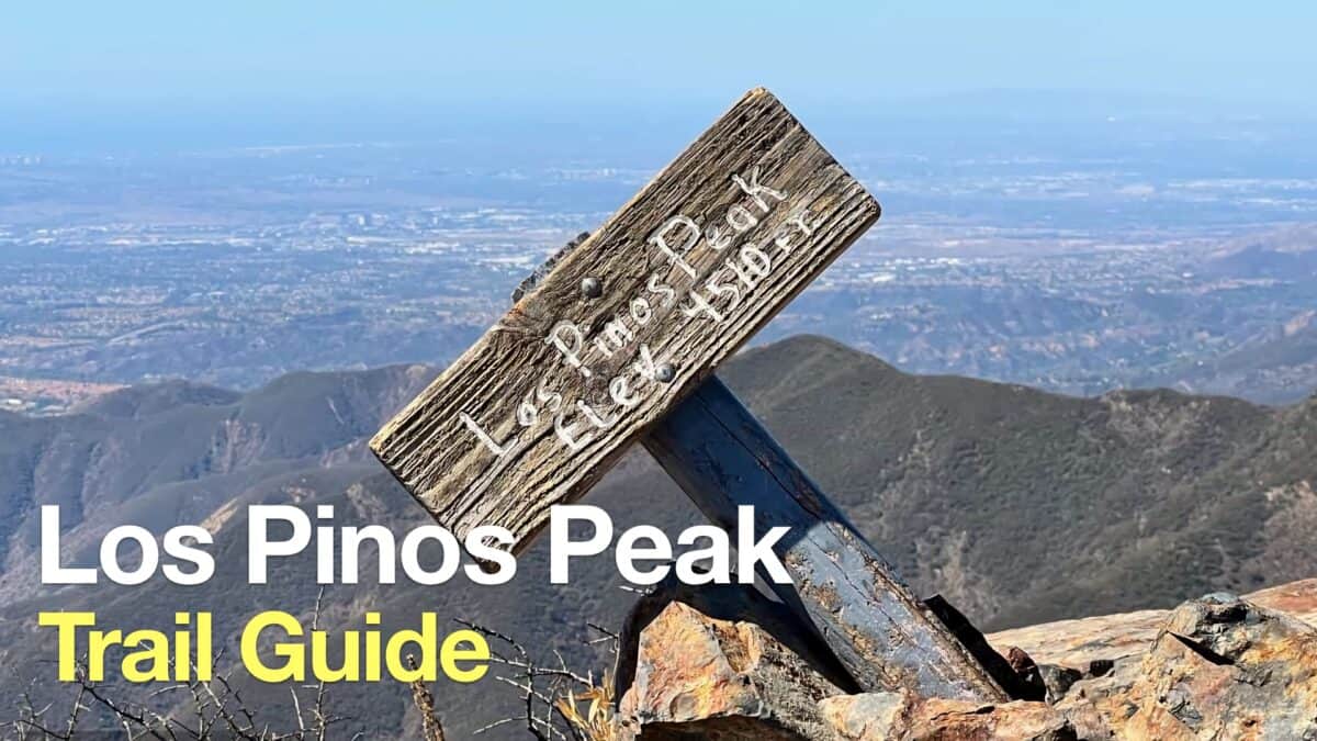 Hike Los Pinos Peak (Orange County)
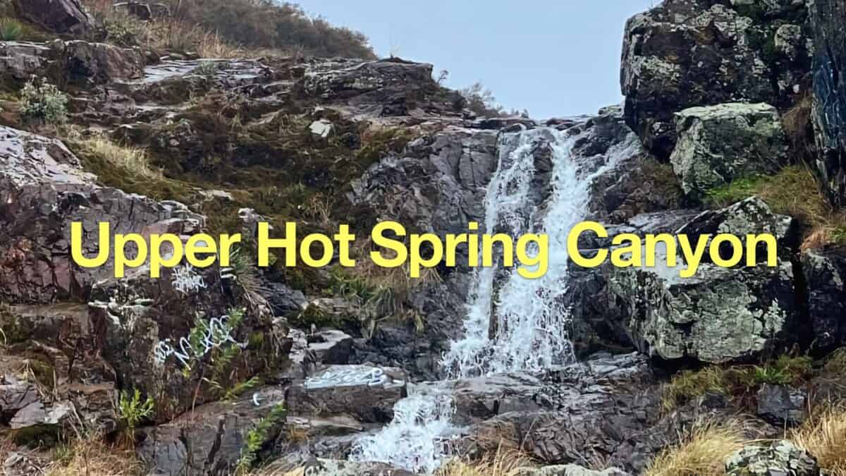 Upper Hot Spring Canyon Waterfall Hike
 Hikes In and Around Orange County
 Cleveland National Forest Hiking
 Hikes In and Around Riverside County
Popular Guides
 Best Hiking Gear 2024
 Hiking Boots or Shoes: Do I Really Need Hiking Boots?
 When to Hit SOS on inReach
This Guide Was Written by Cris Hazzard

Hi, I'm Cris Hazzard, aka Hiking Guy, a professional outdoors guide, hiking expert, and author based in Southern California. I created this website to share all the great hikes I do with everyone else out there. This site is different because it gives detailed directions that even the beginning hiker can follow. I also share what hiking gear works and doesn't so you don't waste money. I don't do sponsored or promoted content; I share only the gear recommendations, hikes, and tips that I would with my family and friends. If you like the website and YouTube channel, please support these free guides (I couldn't do it without folks like you!). You can stay up to date with my new guides by following me on YouTube, Instagram, or by subscribing to my monthly newsletter.