The hike to Los Pinos Peak offers a remote and rugged experience through the heart of Cleveland National Forest. Although not technically prominent, Los Pinos Peak is "practically" prominent, and on the hike, given a clear day, you can see from Catalina to San Gorgonio. There are several ways to hike to Los Pinos Peak, and in this guide, I'll show you the most popular (and shortest) route from the area by Falcon Group Campground.
In this Guide:
Video and Turn-by-Turn Directions to Hike Los Pinos Peak
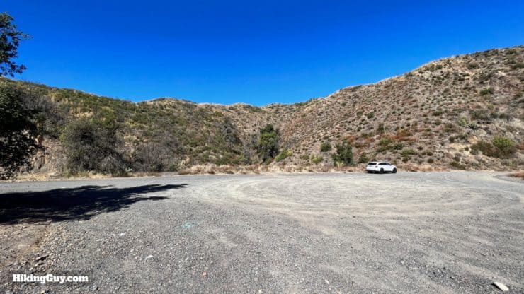
There's no official trailhead address or parking lot. Instead, you have to navigate to the latitude and longitude below to arrive at the trailhead, at the junction of Long Canyon Road and Main Divide Truck Trail. Use these coordinates:
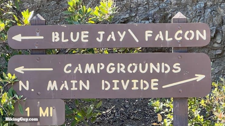
You'll drive up a narrow and paved road, past the Blue Jay Campground, and then to Falcon Group Campground. About 0.5 miles past Falcon Group Campground, you'll see a big gravel clearing on the left. This is the parking area.
There's not an official trailhead here, but there is a large gravel clearing. Park on the edge of the clearing, away from the roads, which have motor vehicle traffic.
You do not need an Adventure Pass to park here. If you want water and bathrooms, visit the Falcon Group Campground, 0.5 miles before the start of the hike.
Gear For the Hike
If you are familiar with hiking in Cleveland National Forest, you know that it can be a place of extremes. In the winter, there can be (usually light) snow and cold temps. In the summer, temperatures can soar into the 100s. 1-2L of water is usually enough. The area is remote, so bring your regular hiking kit. Trekking poles will help on the steep and loose sections after Los Pinos Saddle.
Osprey Hikelite 26Lightweight, carries all your gear, and your back doesn't get sweaty. Oh yea, it's also one of the most inexpensive packs you can get.
This is mostly an uphill endeavor, with a breather at Munhall / Los Pinos Saddle, and then a little up and down as you hike along the ridge to the summit.
3D Map
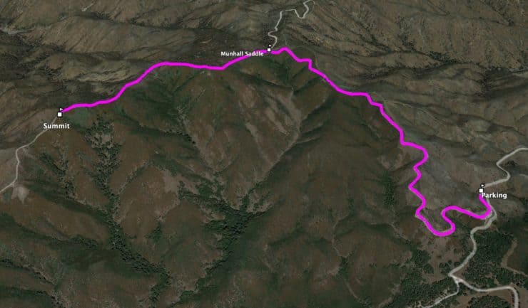
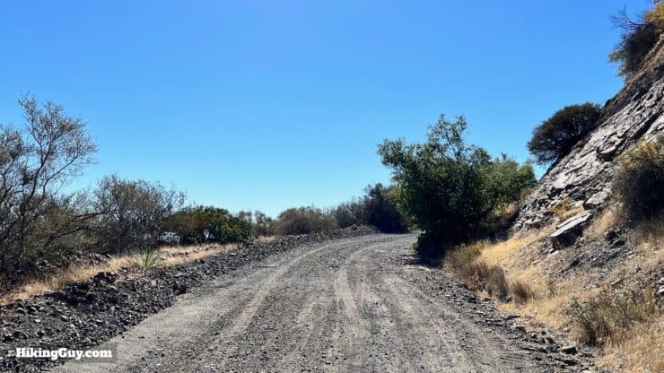
From the parking area you'll hike up Main Divide Road (dirt) until you reach Munhall Saddle. From there you climb up along the spine, past a false summit or two, and then you reach the actual Los Pinos Peak summit.
Hike Brief
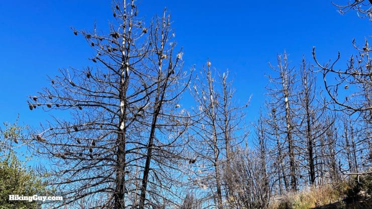
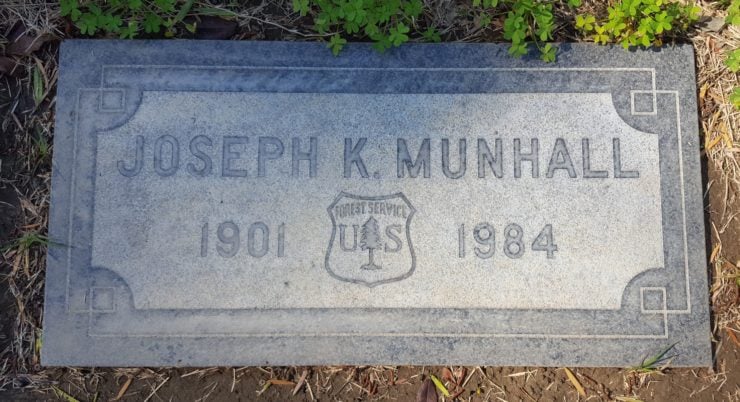
"Los Pinos" translates to "the pines" in Spanish, and the peak was named that because you could spot it by the clusters of Coulter pine trees by the summit.But the 2018 Holy Fire did a number on the area, and many of the pine tries have burned well before their 100 year lifespan. On this hike we'll be hiking along the edge of where the Holy Fire eventually stopped.Along the way we'll go over Munhall Saddle, named after Joseph "Kenneth" Munhall, who was a ranger in Cleveland National Forest in the early 1900s. He was born in Pennsylvania (there's even a suburb of Pittsburgh called "Munhall") but spent his life in Southern California. His grave, located in Fairhaven Memorial Park, Santa Ana, has a very cool Forest Service logo on it, giving you a big clue about what was important to him in life.
Lost Pinos Peak Hike Directions
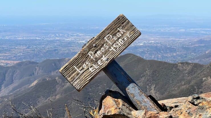
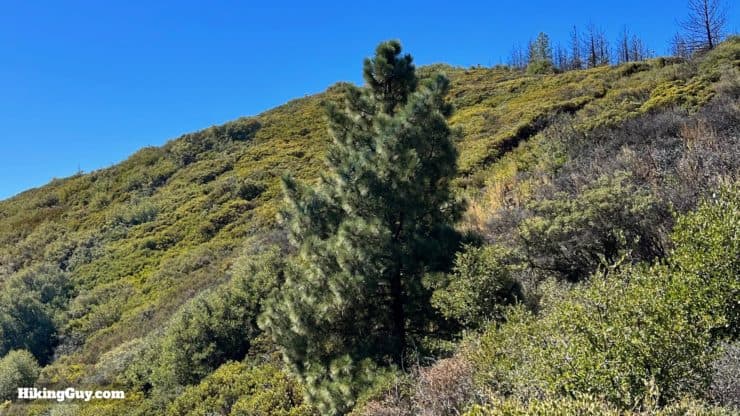
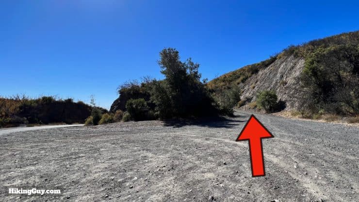
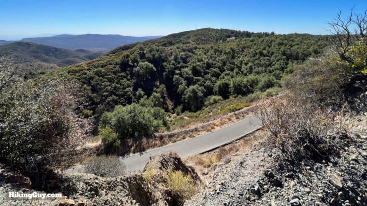
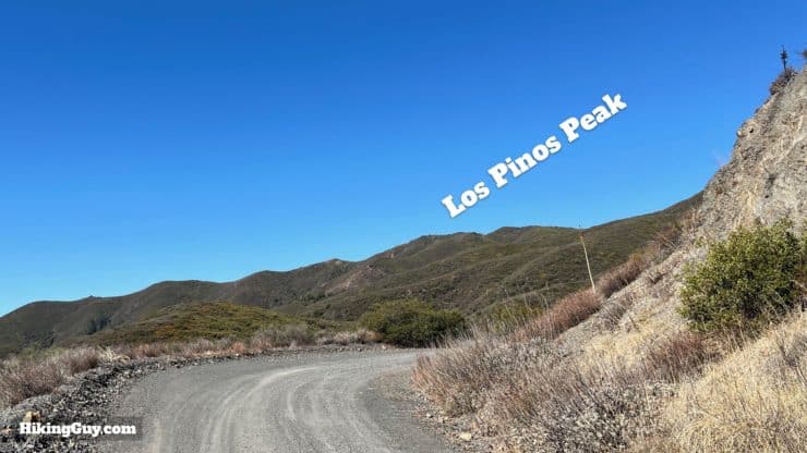
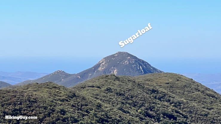
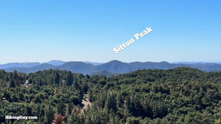
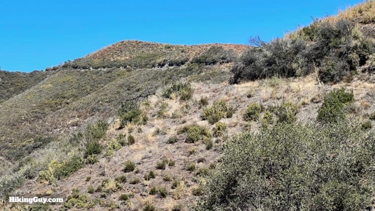
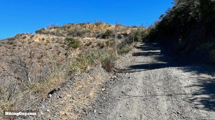
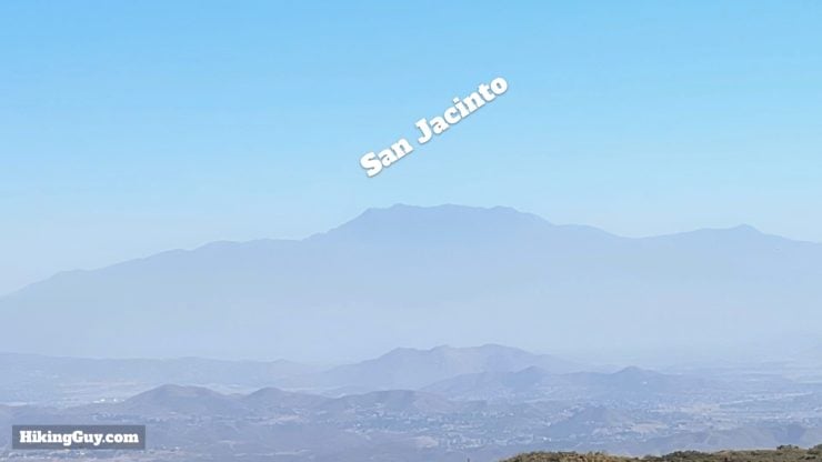
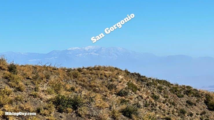
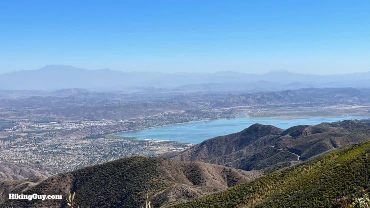
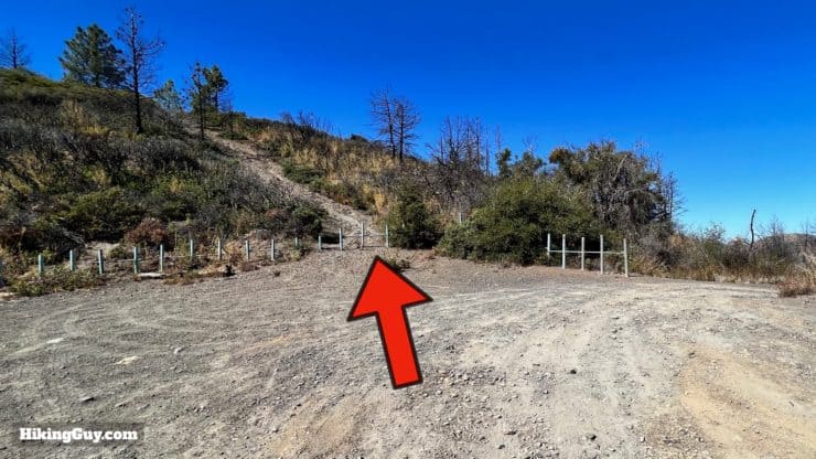
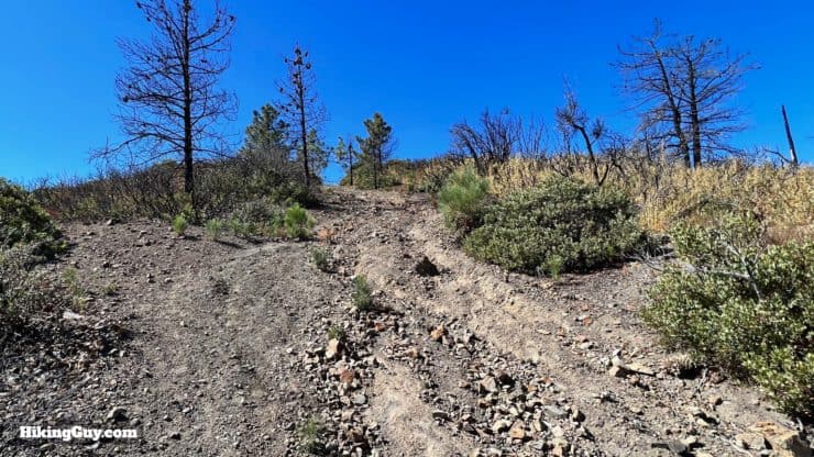
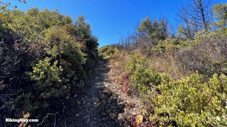
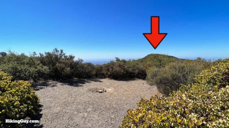
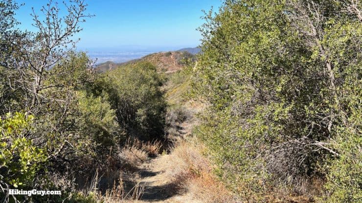
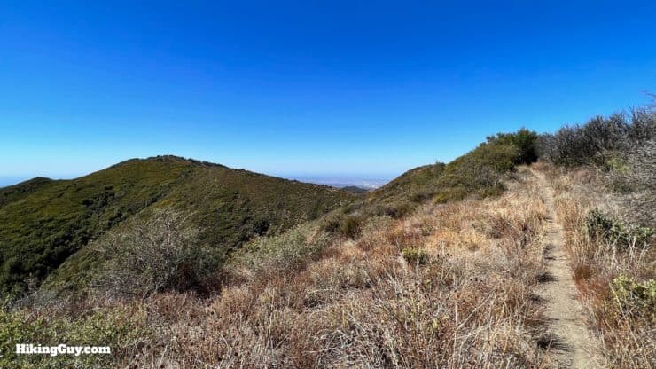
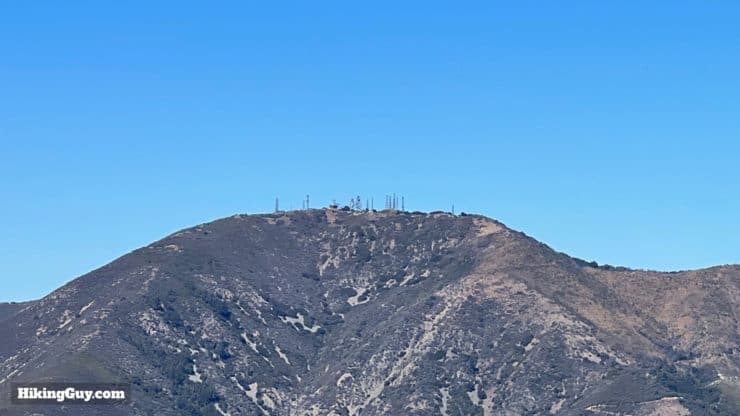
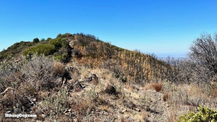
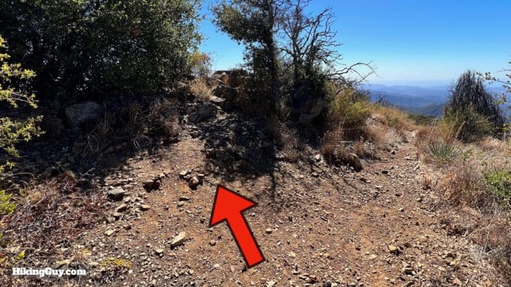
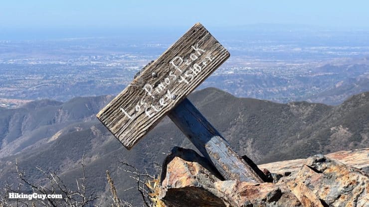
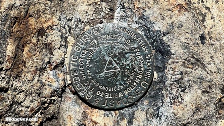
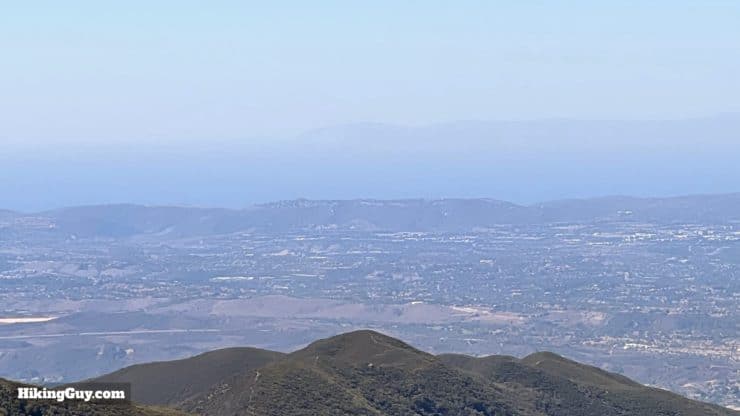
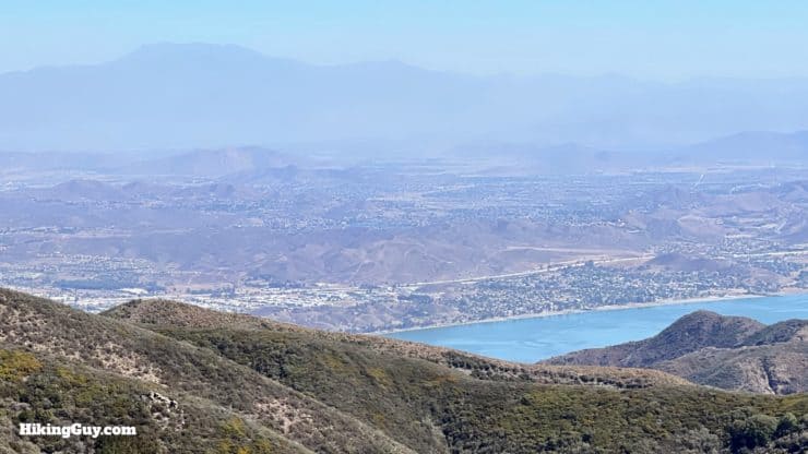
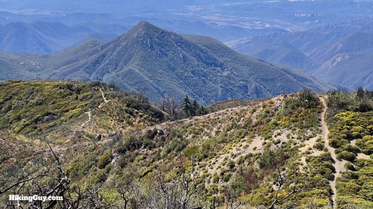
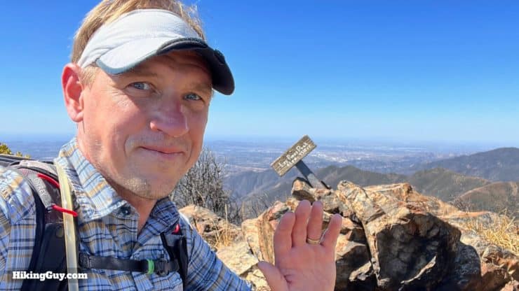
The hike starts where Main Divide Truck Trail starts, just back behind the parking area. There's a gate here which can be open or closed. If it's open, you'll be sharing the first part of the hike with OHV vehicles. Generally they are courteous, just keep your eyes and ears open.There's a sign at the start. We're heading up North Main Divide.Main Divide road is wide and climbs gradually.From the start, the views over Cleveland NF are wide open.After you round the first bend, Los Pinos Peak comes into view.And to your left, Sugarloaf Peak, not to be confused with the well-known Sugarloaf Mountain by Big Bear.And then to your direct left is Sitton Peak.As you climb you'll see the trail unfold in front of you.And some short sections of the road are steep.And when the grade eases up on the trail, you'll be able to see to the east. Here's San Jacinto Peak.And then to the left of that is San Gorgonio.And back to your right is Lake Elsinore.At about 1.7 miles in you'll reach Munhall Saddle. Leave the road, go over the gate, and hike up the trail to the left.The trail is steep and loose in the beginning.But then gets a bit more defined.And then you reach a false peak. In the distance is the true peak.You have a short downhill as the trail rolls along the spine.As you make your way along the spine you'll have nice views of Los Pinos Peak. The burned trees on the right are from the 2018 Holy Fire, started by an arsonist, which halted along this ridge.And to the right is Santiago Peak. From this perspective you can really see the damage from the Holy Fire. This whole area used to be lush and green.At about 2.6 miles in you'll finally arrive at the last uphill to the true summit.When you get to the top, look for the turnoff to the left.And here you are, at the 4th highest spot in Orange County!There's a USGS benchmark here.To the west is the Pacific Ocean and Catalina.To the east is Lake Elsinore.You'll also notice the trail continues on. I'll cover (the much tougher) hike in from this route in another guide.That's it! Just turn around and head back the way you came when you're done at the summit.


 Using the Apple Watch for Hiking
 Garmin Fenix 7 & Epix Review For Hikers
 How To Read a Topographic Map
 Garmin GPSMAP 67i Review
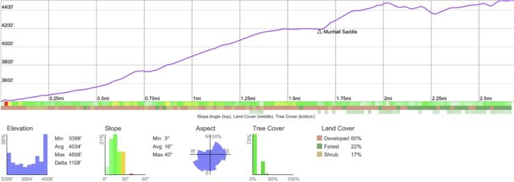
 Sitton Peak Hike
 Hike the Chiquito Falls Trail
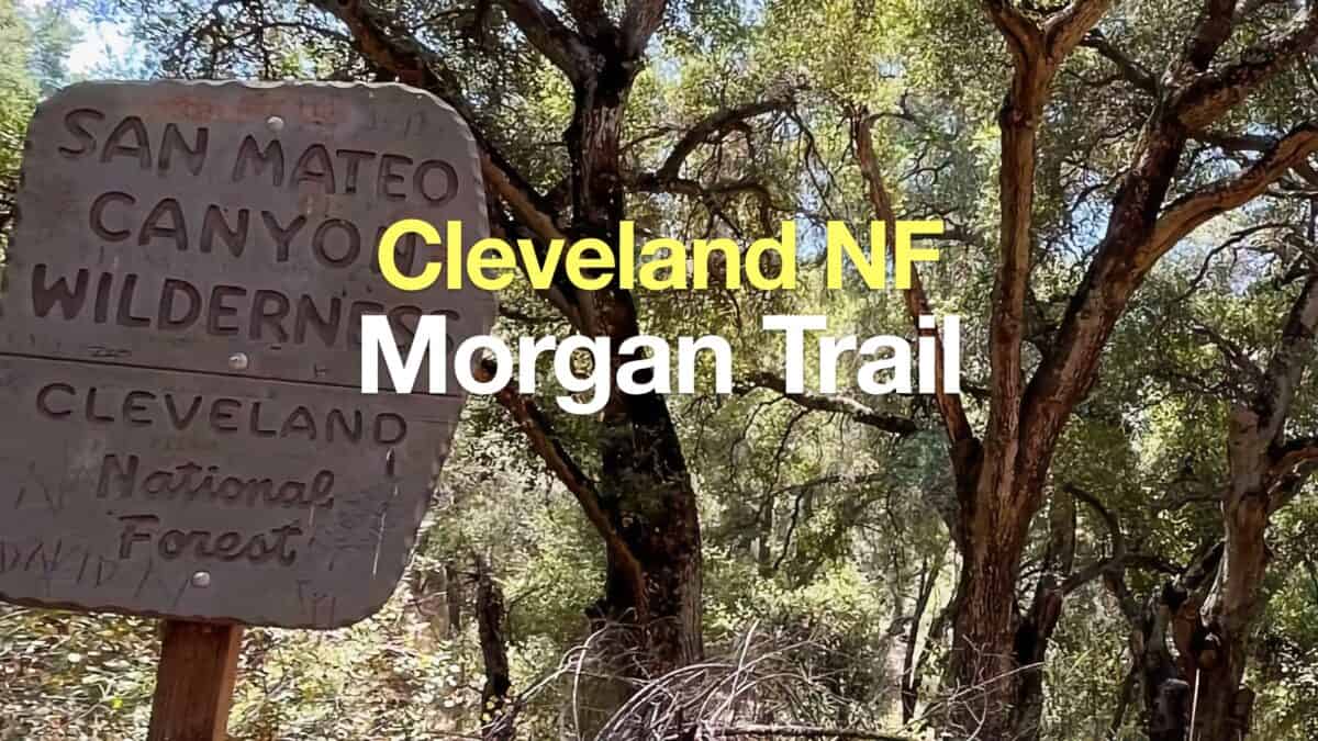 Morgan Trail Hike (Cleveland National Forest)
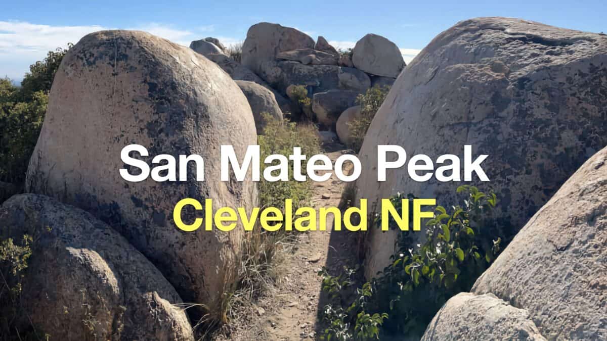 Hike San Mateo Peak (Cleveland National Forest)
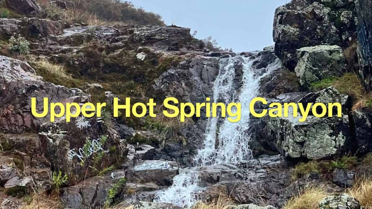 Upper Hot Spring Canyon Waterfall Hike
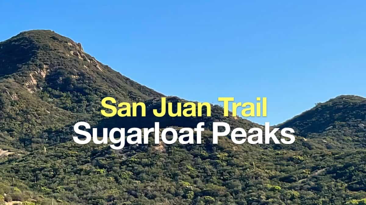 San Juan Trail to Sugarloaf Peaks
 Hikes In and Around Orange County
 Cleveland National Forest Hiking
 Best Hiking Gear 2024
 Hiking Boots or Shoes: Do I Really Need Hiking Boots?
 When to Hit SOS on inReach