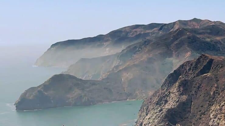

The Trans Catalina Trail, a mini, 38.5-mile thru-hike across the rugged island of Catalina, is a very doable adventure for almost every hiker and backpacker. Most people take between two and five days to complete the trail, which winds its way around Catalina. Along the way, you'll experience expansive ocean views, the unique Channel Islands ecology, challenging terrain, and spectacular beachside campgrounds. In this complete Trans Catalina Trail (TCT) guide, I'll show you everything you need to know to hike the trail and plan it out so that it's a perfect fit for your hiking abilities.
- Trans Catalina Trail Itineraries From 2 to 5 Days
- Logistics & Permits for the Trans Catalina Trail
- What to Pack
- Video, Maps, and Turn-by-Turn Directions for the Hike
Trans Catalina Trail Overview
- The Trans Catalina Trail, officially 38.5 miles, is generally followed from Avalon in the south of the island, to Parsons Landing in the north. Nothing stops you from going the other way or doing it in sections, but this routing is the way the TCT is officially laid out.
- The actual island of Catalina is only 22 miles long and 7 miles wide.
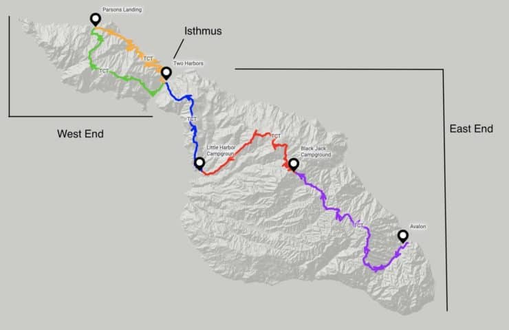
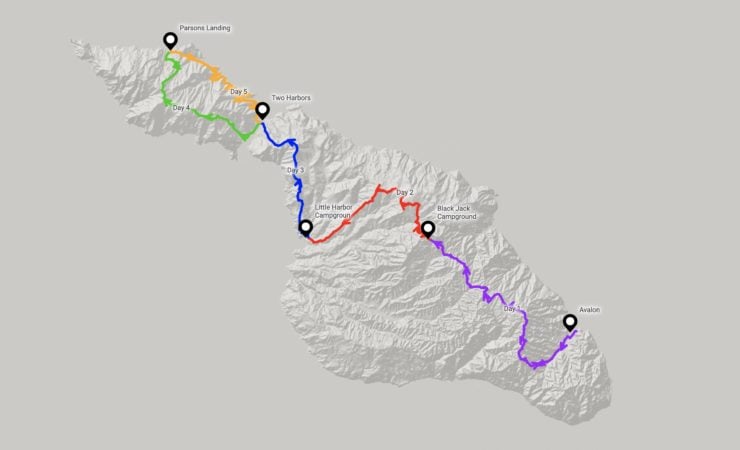
This is the basic layout of Catalina Island. You'll hear people refer to the "west end" or "east end," and they are referring to the two main landmasses connected by "the isthmus." The narrow isthmus is where Two Harbors is located. The main center of population and visitation is Avalon, in the southeast. Outside of those two towns, the island is sparsely populated. - The hike is usually broken into five logical segments (from south to north on the map above).
- Avalon (town) to Black Jack Campground (purple line - 11 miles) - a gentle climb out of Avalon and a series of ups and downs through the interior of the island, with a good share of sweeping vistas.
- Black Jack Campground to Little Harbor Campground (red line - 8 miles) - a climb up to the Airport in the Sky where you can get breakfast or lunch, and then a long descent into the only campground on the rugged west coast of Catalina.
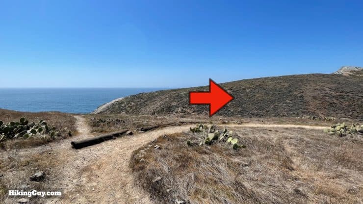
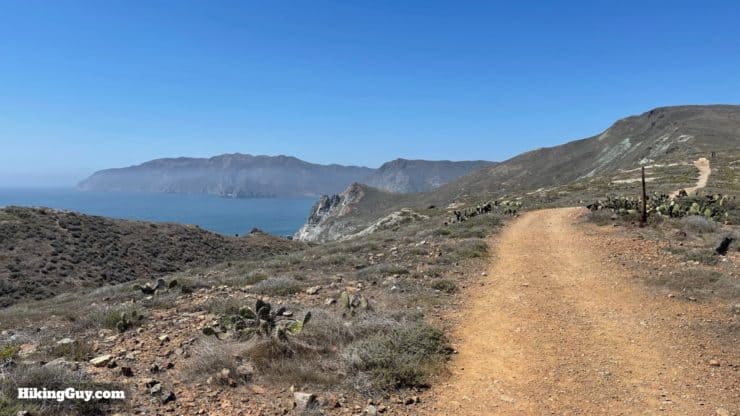
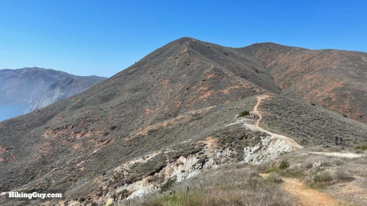
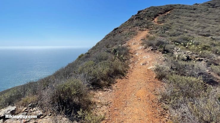
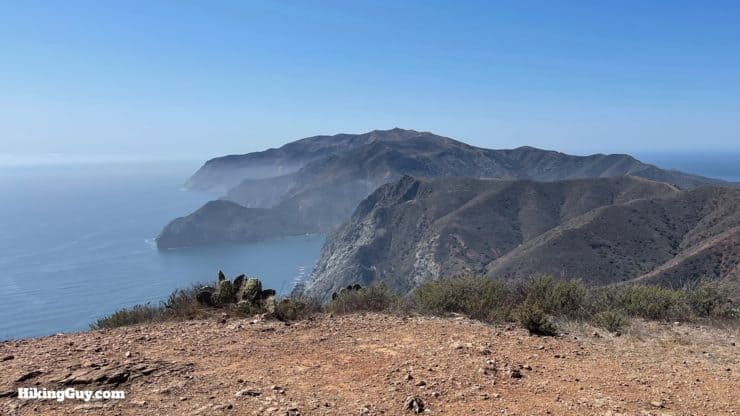
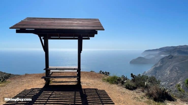
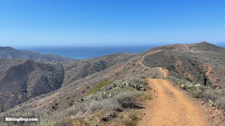
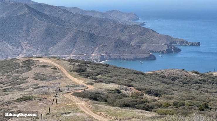
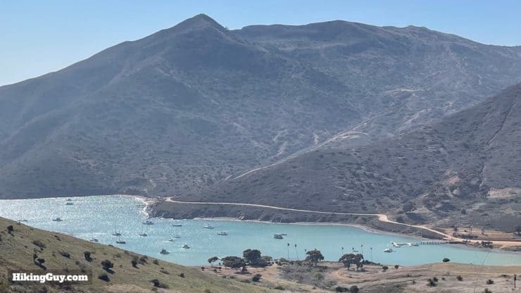
- Little Harbor to Two Harbors (blue line - 5 miles) - my favorite section, with incredible views, and a tough climb up a ridge along the west bluffs.
- Two Harbors to Parsons Landing (green line - 6.5 miles) - you'll have a tough climb out of town to a high ridge, and then a very steep descent into Parsons Landing.
- Parsons Landing to Two Harbors (orange line - 8 miles) - as the last section of the TCT, this is a flat cake-walk along the coast with views into hidden coves and beaches.
- You can take five days and do a segment a day, but most people combine segments and do it in 3-4 days.
- You'll likely book a ferry to the start in Avalon, and then book a ferry back from the northern town of Two Harbors.
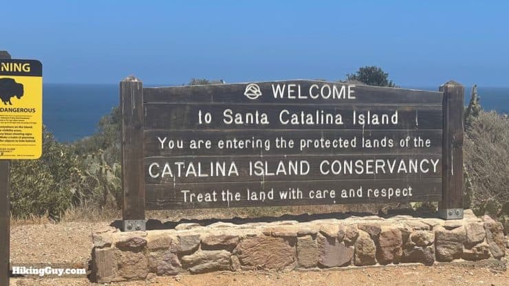
- The Catalina Island Conservancy manages most of the island and handles the camping and hiking permits.
- The hike is known for its ups and downs, with many climbs and descents steep and made tougher by the camping gear on your back.
- Leashed Dogs Allowed dogs are allowed on the TCT, except at Two Harbors and Hermit Gulch campgrounds. The harsh environment, lack of water, and presence of bison make it a pretty dog-unfriendly environment. I would strongly consider leaving your dog at home for this one.
How to Hike the Trans Catalina Trail
The TCT isn't a hike you just show up for and do, you have to plan and book before you go. There are a few variables that you have to align. I'll talk in detail about each step later in the guide, but to give you an overview, here's how you should go about it.
- Assume that you'll go from south to north (Avalon to Parsons Landing to Two Harbors), which is how the Catalina Island Conservancy recommends the hike, at least for first-timers.
- If you have the time, choose the four-day itinerary, which is a good balance between hiking and enjoying the campgrounds. I know that not everyone can take this long to do the hike, so if you want 2 or 3 day options (or 5), I have those too.
- Check the ferry schedule for the days that you want to go. There are not ferries every hour. Often you are limited to 1-3 options per day. Once you have the ferry times, you can start planning where you are going to stay. Don't book your ferries until you secure your lodging.
- Work backward on dates for lodging, checking the availability from north to south. Often the northernmost campground, Parsons Landing, is the toughest, and they get a tad bit easier as you go backward and work your way toward Avalon.
- Once you have lodging lined up, book it immediately.
- Then book your ferry tickets.
- Then, if you need one, apply for a free permit.
Trans Catalina Trail Campgrounds and Lodging
As I mentioned earlier, securing the lodging is key. The Catalina Island Conservancy releases camping spots on Jan 1 of every year. Ideally you'll set this date in your calendar and try to hit the website as soon as they go live. If you don't have that opportunity, don't worry, people do cancel and spots do open up during the year. You just have to keep checking.
Book campsites online here or try giving the Catalina Island Company a call (310-510-4205) with the sites and dates you'd like.
- There is no backcountry camping on Catalina. You have to stay in one of the official campgrounds or a hotel.
- If you stay at a campground, it's important that you use the food storage lockers. The rodents, crows, and foxes of Catalina Island are experts at chewing through packs and bags, and will often attempt it if given even a second or two.
- All of the campgrounds listed have toilets.
- Each campground usually has a ranger who either lives or visits the camping area. They will be able to help with any camping needs, and can also communicate with the Conservancy if there is an issue.
- You can arrange to have your camping gear shipped between campgrounds, but it's not cheap.
- If you want to swim at one of the beach campgrounds, be aware that the Pacific Ocean is usually pretty chilly.
- If you book online and see a (summer only) two-night minimum stay, just book the stay and then call the Conservancy at 310-510-4205. They will waive the 2-day minimum and refund you one night if you are hiking the TCT.
Late winter / early spring is a great time to do the TCT. You avoid the summer crowds, the vegetation is green, and the temps are generally cooler.
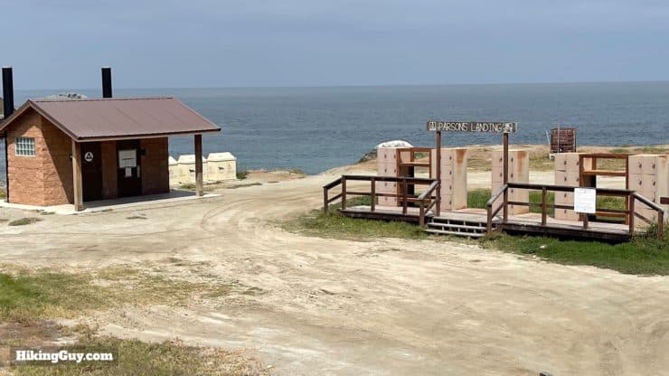
Parsons Landing
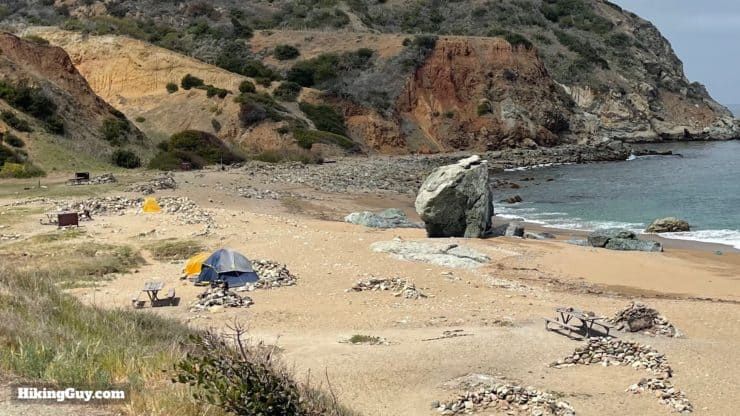
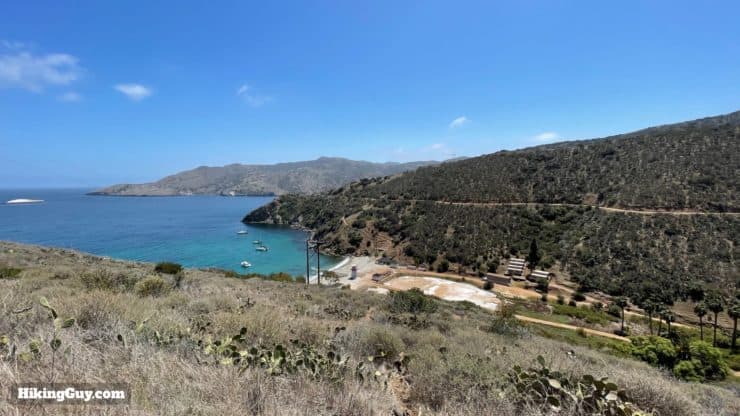
My favorite camping spot on the Trans Catalina Trail is easily Parsons Landing. There are several camping spots located right on the beach, in a protected sandy cove. Each site has a small fire pit and area to store your food and pack. There is no running water, but you can have water and firewood delivered to your campsite upon arrival for a small fee from the Catalina Island Company.
You can check out my detailed guide of Parsons Landing here. It's a fun hike backpack to for a weekend if you don't have the time for the whole TCT.
Two Harbors Campground
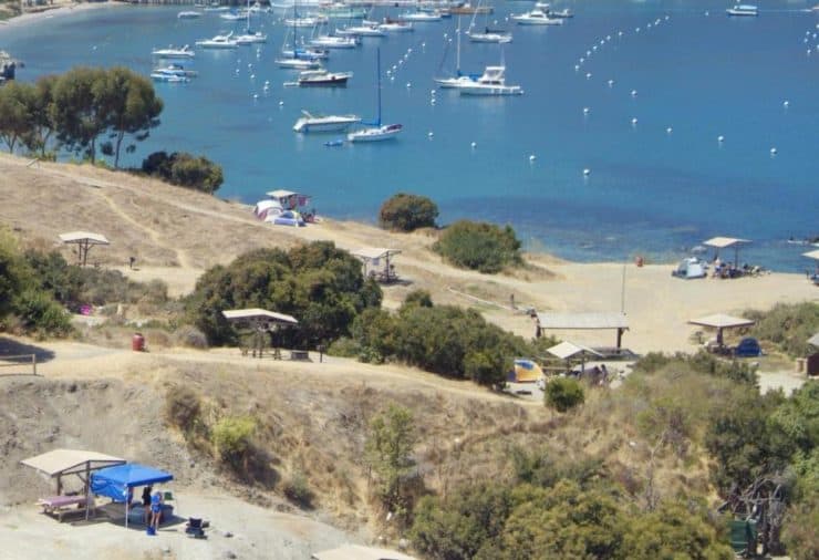
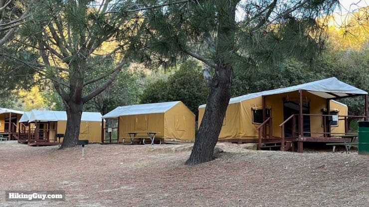
If you're going to camp in Two Harbors, there is a big campground ¼ mile south of town on the bluff. The campground usually offers regular sites where you can pitch your tent, and also offers canvas tents and cots that you can rent. Avoid sites 5,6 & 7 as they are right next to the bathrooms. Sites #9, 10 and 11 have great views, and #1-4 are closest to the water with the best views. There is a water refill and cold water (open) showers. If you walk 5 minutes into town, you have access to hot showers (where there is a electrical outlet to recharge devices), a restaurant, and general store. The general store will also deliver food to this campground for a fee.
Banning House (Two Harbors)
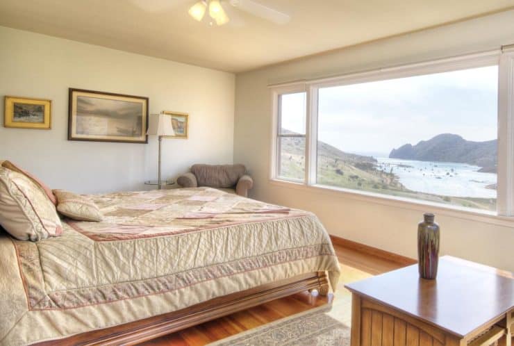
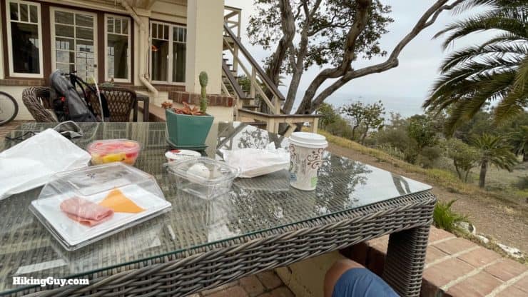
If you want a break from camping, I highly recommend treating yourself to a room at the Banning House Lodge in Two Harbors. It's the only real non-camping option, and after a long day of hiking or a few nights in a tent, having a hot shower and comfy bed can feel incredible. The staff is very friendly and they offer wine & cheese and breakfast on the patio overlooking the ocean. If you can make it work, springing for the cliffside room will give you incredible views of the sunset and Catalina Harbor.
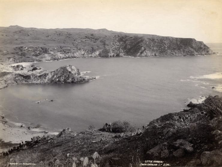
Little Harbor Campground
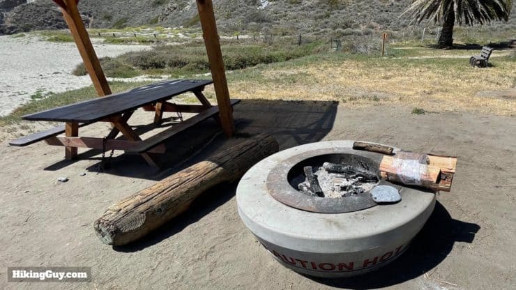
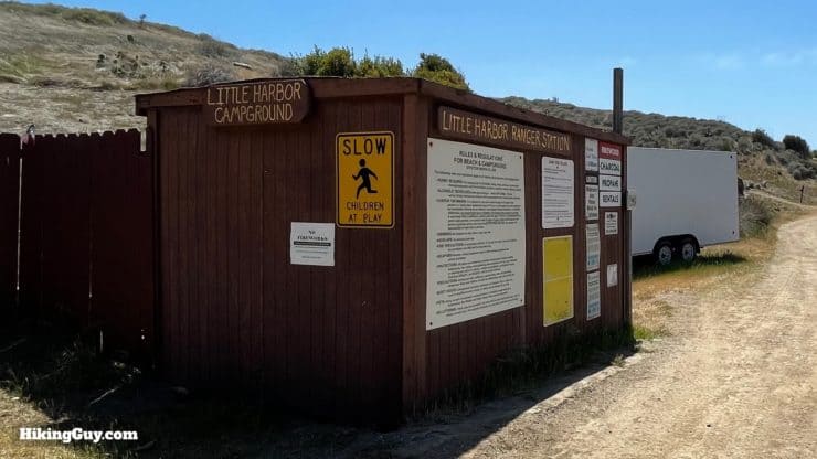
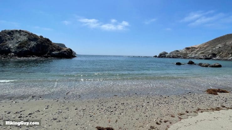
Little Harbor is my second favorite campground. It's more of a traditional campground and has a nice beach where you can relax. It's the only campground on the more rugged west coast of Catalina. Just examine at the tent site map carefully, some tent sites are far away from the ocean and don't offer any views. Unlike Parsons Landing, campers can take a shuttle bus into Little Harbor, so it's not limited to hikers. Generally it's very pleasant, but it can get loud when groups are here. There are cold water showers and water fills. You can get food delivered here from the Two Harbors General Store, and firewood from the Catalina Island Company.
There are three smaller, more secluded campsites in nearby Shark Harbor. These are part of the same Little Harbor campground and are booked through Little Harbor reservations.
Black Jack Campground
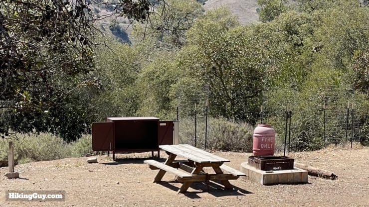
Black Jack Campground is a popular option because it's the closest to Avalon, and within a day's hiking if taking the morning ferry to the island. It's located up on a hill in a grove of pine trees, but doesn't offer any ocean views. There are no showers, but there is a water fill here.
Hermit Gulch (Avalon)
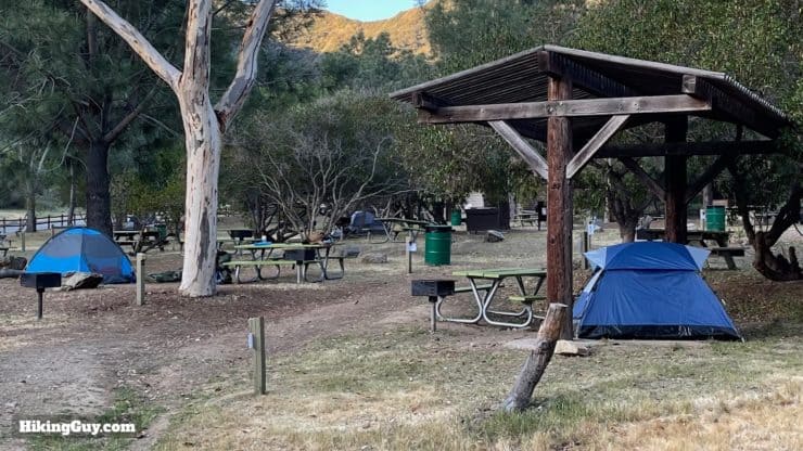
If you want to camp in Avalon, this is your only option. The nice thing about Hermit Gulch is that it's about a 20 minute walk up Avalon Canyon, away from the waterfront. The campsites are close together, and if you have a rowdy crew staying at the campground, you'll hear them. It is a convenient jumping-off point, right next to the beginning of the trail section of the TCT.
Avalon Hotels & Rentals
Avalon is the main town on Catalina Island, and is set up well for overnight visitors. There are several hotels, bed & breakfasts, and vacation rentals that you can book. There's also a supermarket in Avalon if you need to stock up with supplies. When I stay in Avalon, I'll try to find a place away from the hustle and bustle of the waterfront. I've found the Holiday Inn, which is a few minutes inland, is a good option.
Trans Catalina Trail Itineraries
Now you have an idea of how long it will take and where to stay, let's talk about actual itineraries. Below are suggested itineraries based on popular routings. When you're deciding how long to go, you need to not only determine what lodging you can book, but also what your fitness level will allow and how far that you'll be comfortable hiking each day with a heavy pack on your back. It's also important to note that the TCT is hilly, and often the climbs go straight up. This means that going up AND down is usually slow with a pack.
If you want to estimate your pace, I recommend packing your backpack with all the gear you will bring and then go for a short and hilly day hike. Expect to go slower with a full backpack than you would with a lighter day-hiking pack. Most folks average between 1.5-2.5 mph when hiking with a full backpack. If anything, based on the conditions, be conservative when planning your pace on the TCT. Worst case is that you get somewhere early and relax on a beach.
When planning your itinerary for hiking the TCT, know that hiking during dark is not permitted.
5 Days / 4 Nights
- Day 1
- Ferry to Avalon
- Hike from Avalon to Black Jack Campground - 11 miles
- Camp at Black Jack Campground
- Day 2
- Hike from Black Jack Campground to Little Harbor - 8 miles
- Camp at Little Harbor
- Day 3
- Hike from Little Harbor to Two Harbors - 5 miles
- Overnight in Two Harbors
- Day 4
- Hike from Two Harbors to Parsons Landing - 6.5 miles
- Camp at Parsons Landing
- Day 5
- Hike from Parsons Landing to Two Harbors - 8 miles
- Ferry back from Two Harbors
4 Days / 3 Nights
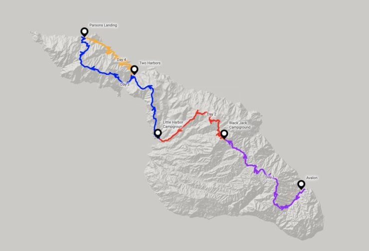
- Day 1
- Ferry to Avalon
- Hike from Avalon to Black Jack Campground - 11 miles
- Camp at Black Jack Campground
- Day 2
- Hike from Black Jack Campground to Little Harbor - 8 miles
- Overnight in Little Harbor
- Day 3
- Hike from Little Harbor to Parsons Landing - 11.5 miles
- Camp at Parsons Landing
- Day 4
- Hike from Parsons Landing to Two Harbors - 8 miles
- Ferry back from Two Harbors
3 Days / 2 Nights
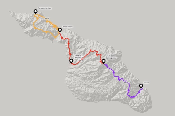
- Day 1
- Ferry to Avalon
- Hike from Avalon to Black Jack Campground - 11 miles
- Camp at Black Jack Campground
- Day 2
- Hike from Black Jack Campground to Two Harbors - 13 miles
- Overnight in Two Harbors
- Day 3
- Hike from Two Harbors to Parsons Landing to Two Harbors - 14.5 miles
- Ferry back from Two Harbors
2.5 Days / 2 Nights
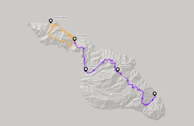
- Day 0
- Late Ferry to Avalon
- Overnight in Avalon
- Day 2
- Hike from Avalon to Two Harbors - 24 miles
- Overnight in Two Harbors
- Day 3
- Hike from Two Harbors to Parsons Landing to Two Harbors - 14.5 miles
- Ferry back from Two Harbors
Trans Catalina Trail in One Day
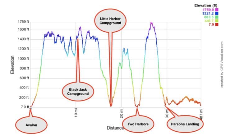
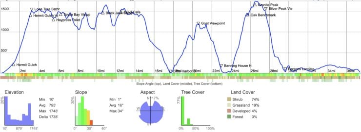
Nope. Well, if you are a trail runner and can do better than a 4-5 mph pace, you should be able to complete the 38.5 during daylight. If you are running, the uphills will be walked, and most downhills are so steep that you have to take them slow. If you are considering this, I'd say take a good look at the gradients on the elevation profile to figure out where you can make good time and where you can't.
Trans Catalina Trail Permits
The good news is that for hiking permits, if you have a camping reservation on the island, it serves as your hiking permit. There is no need to get any other paperwork for the hike. If you are doing an itinerary that doesn't include any camping, only lodging, then you need to get a free permit online. You don't need to pick up or carry any paper, just make sure you have a copy on your phone (and that it's charged). Since you are only allowed to camp at a designated campground, the (lack of) camping space serves as the quota system. Book your campsites and you are good to go.
Getting to the Start fo the Trans Catalina Trail
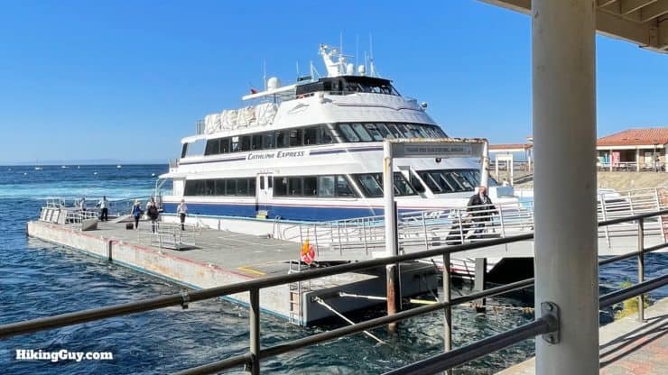
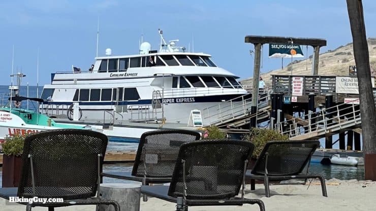
Assuming that you're going to do the hike along the recommended routing from Avalon to Two Harbors, you're going to have to arrange for your ferries from each spot. There are several mainland ports that have ferries to Avalon, including downtown Long Beach, Newport Beach, Dana Point, and San Pedro (Long Beach harbor). For Two Harbors, a much smaller town, the options are limited, with a ferry to San Pedro and a seasonal shuttle to Avalon. There is no scheduled land transportation between Two Harbors and Avalon; a taxi can cost several hundred dollars. There is also a shuttle bus between different points; the schedules vary by season.
So what most people do is take the (easier) hit on the mainland side and drive to San Pedro. From there you can park (for a fee), get a one-way ferry ticket to Avalon, and then a one-way ferry ticket back from Two Harbors. Different seasons have different schedules, and the ferry website is easy enough to use and book a ticket on. Getting ferry space is usually not a problem.
The ferry from San Pedro to Avalon is about 75 minutes depending on the sea conditions. There is sometimes a direct ferry from Two Harbors to San Pedro, but most times you have to stop in Avalon, which is about a 2 hour trip in total. When there are storms, the ferries can be canceled. Make sure you stay up to date by checking their website before leaving.

Trans Catalina Trail Packing List
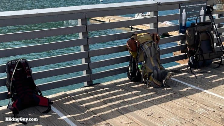
One of the biggest mistakes I see on the Trans Catalina Trail is people hauling huge backpacks with a ton of gear. For many folks, including day hikers, the TCT is often one of the first real backpacking trips that they do. If you Google "what backpacking gear do I need," you're going to get a lot of strong opinions. You don't need a lot of stuff. Do yourself a favor and stick to the basics unless you backpack often and have a preferred setup. Here's what I would get (or rent from REI). Check out my gear page for my current picks and what I'm using now.
- Get a 40+ liter backpack to carry all your gear.
- Having a 3 liter water bladder will hold enough water between refill points (more below). You don't need a water filter. The refill points have drinkable water. Make sure you drink and refill often in the summer. According to the rangers, most summer rescues occur from dehydration.
- Get a small, light tent. Campgrounds have lockers where you can store your pack.
- I find that having an inflatable sleeping pad and pillow make my nights more comfortable.
- Nights can be cool, especially close to the ocean where winds can pick up. A 3-season sleeping bag (30F) is the most that you need to stay warm. If you already have a lighter sleeping bag, consider getting a sleeping bag liner which will make it warmer if needed.
- I use a small lightweight stove which is reliable and easy to use. When I hike the TCT I take advantage of the spots where I can buy food or have it delivered.
- Bring something to start a fire to light your campfire wood with.
- You'll need good footwear, especially if you're not used to hiking this much or this far. I highly recommend a hiking shoe or trail runner (see my latest picks here). Don't make the mistake of a heavy boot that could give you blisters.
- Don't be fooled by the "average temperature" charts that put it always between 50-72F. Generally the days are hot and the nights are cool, but it can get much hotter in the summer (90s) and very chilly when camping by the ocean (40s). Bring layers to stay warm at night and to peel off as it gets hot. The weather can change quickly in this maritime environment.
- The trail is totally exposed to the sun. Having lightweight gear for the day with sun protection is a good move.
- I've found ticks on me when hiking here. I use lotion-based insect repellant now and don't have any problems. Other hazards such as poison oak or snakes are easily avoided by watching your step.
- It can rain on Catalina, and its position in the middle of the ocean means that rain can be unpredictable. I bring a lightweight shell and light rain pants with me, which I also wear at night when it gets cool.
- Comfy shoes or flip-flops are great for after you peel your hiking boots off.
- Trekking poles are a must, especially if you have a big pack on your back. The climbs and descents are steep and can be slippery. Trekking poles will save you from having to butt-scoot down some of the more extreme slopes.
- If you're brave enough to enter the chilly Pacific, bring a bathing suit and maybe even a mask.
- Don't forget a headlamp for navigating camp at night.
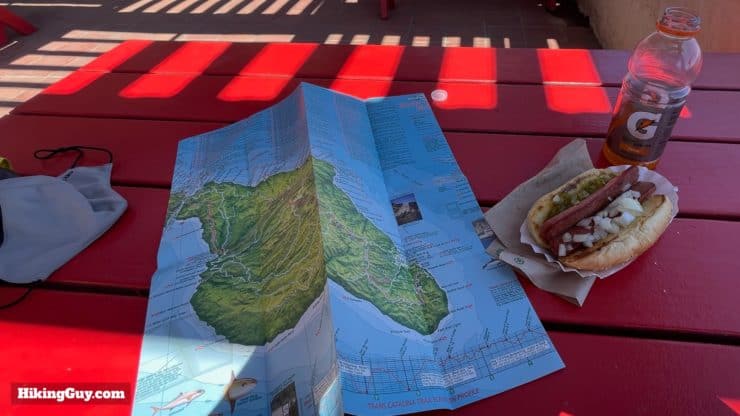
- If you look at cellphone coverage maps, some show the whole island as having coverage. You might be able to snag a signal in the interior, but don't count on it. Two Harbors and Avalon have decent service. Make sure you download your maps on your phone and/or buy a paper map from the Conservancy visitor center in Avalon (or from some REI stores or online).
- I like to keep things simple so I load some books on my phone's Kindle app and put a movie or two on there to watch in my tent. I have a USB charger to keep them topped off. Keep your electronics in your sleeping bag with you. If they get too cold, the batteries will drain quickly. And don't forget to put your phone into flight mode when outside of Avalon or Two Harbors, otherwise it will drain down quickly as it searches for a signal.
If you are doing the 2-day itinerary and are staying in hotels, then you only need to bring day hiking gear and a change of clothes.
Gear That I Love Right Now
Nothing is sponsored or promoted, just the actual gear that I use.
Check out the complete list here. ( Updated July 2024)
Water and Services Along the Way

Make sure you bring some cash with you, the credit card machines on the island (found just about everywhere) don't always work outside of Avalon.
- San Pedro / Long Beach
- REI stores in Manhattan Beach and Huntingdon Beach
- Supermarkets in San Pedro
- Avalon
- Supermarket
- Restaurants
- Water Fill at Hermit Gulch
- Several Public Toilets
- Public (pay) showers
- Top of Hermit Gulch Trail (3.5 miles)
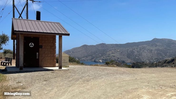
- Toilets
- Haypress Reservoir (6 miles)
- Toilets
- Water Fill
- Black Jack Campground (11 miles)
- Toilets
- Water Fill
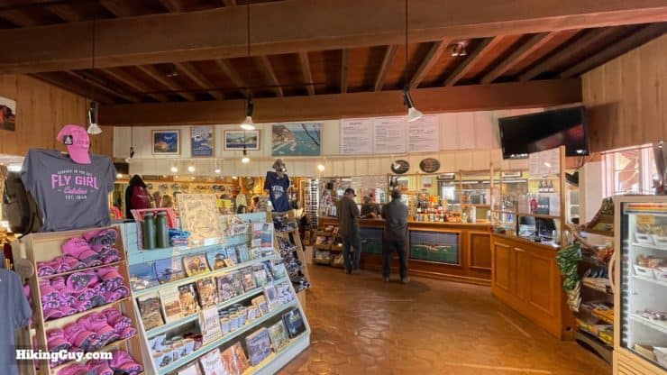
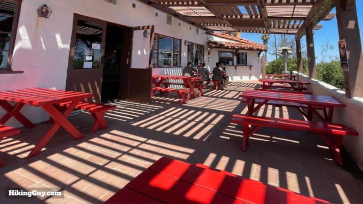
- Airport Cafe (13 miles)
- Toilets
- Water Fill
- To-Go Food
- Dine-In Food
- Gifts
- Little Harbor Campground (24 miles)
- Toilets
- Water Fills
- Cold Water Showers
- Food Delivery from Two Harbors General Store
- Firewood Delivery from the Catalina Island Company
- Kayak Rentals
- Two Harbors (29 miles)
- Pay showers
- Restaurant
- General Store (which will deliver to Two Harbors campground)
- Cooked Whole Pizzas
- Food & Drinks & Alcohol
- Gifts
- Limited Gear (charging cables, basic hiking gear)
- Laundry
- Water Fill at Laundry and At Dinghy Dock Picnic Area (see directions)
- Phone Charging at Some Tables at Restaurant
- Parsons Landing (30.5 miles)
- Toilets
- Water and Firewood Delivery From Catalina Island Company (arrange beforehand)
- Often extra water is left by previous campers. Sometimes the rangers clean these up right away, sometimes you can find a few around.
Going to the bathroom off the trail is highly discouraged in this fragile ecosystem. When you need to do your serious business on the hike, try to hit one of the toilets along the way that I've just listed.
Trans Catalina Trail Maps
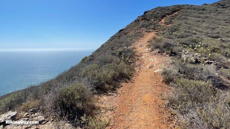
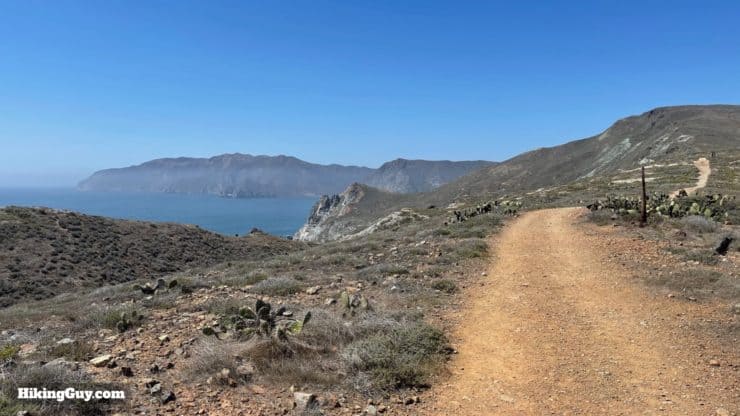
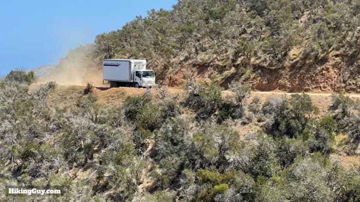
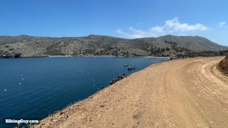
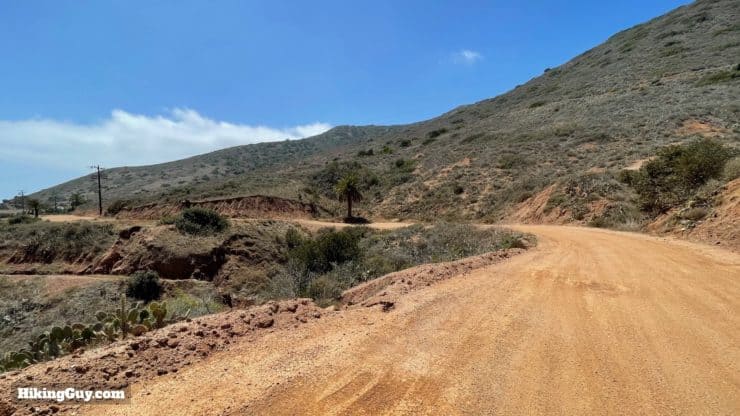
The actual Trans Catalina Trail is a bit of a mixed bag, and generally when I hear that someone was disappointed with the experience, it's because they were expecting different types of trails and wilderness. Overall the Trans Catalina Trail, which is a route using other trails and roads, is a combination of single-track trail, small dirt roads, and short sections on "busier" dirt roads. And when I say "busier," know that this is generally means the odd Conservancy or delivery vehicle. Most people don't drive out of Avalon. And while Catalina is barely developed, the hike does pass through reservoirs, a small town, and some developed campgrounds. It's off the beaten path, but it's also not a hike through the middle of the Sierra Nevadas.
Grab the official Catalina Island Conservancy Map of the TCT here.
Types of Trails
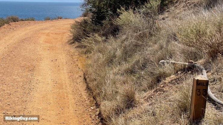
Trail Markers
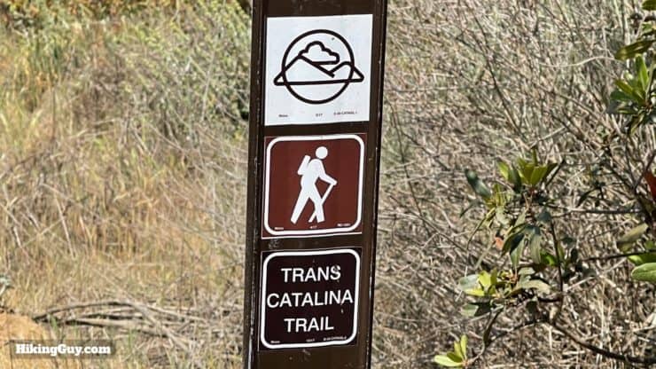
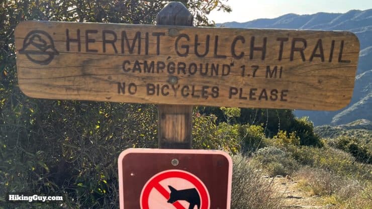
When I did the guide, a section before Little Harbor, on Springs Ridge, was closed, and there was a detour along the parallel Sheep Chute Road. I've updated the map and GPX file to have the latest route down Springs Ridge. Either way, you'll be fine.
Interactive Map
How Will You Navigate?
Elevation Profile
Landmarks on the Hike
| Landmark | Distance | Elevation |
|---|---|---|
| Avalon Dock Trailhead | 0 | 10 |
| Hermit Gulch Campground | 1.5 | 280 |
| Hermit Gulch Viewpoint | 3.4 | 1500 |
| Haypress Reservoir | 6 | 1350 |
| Black Jack Campground | 11 | 1520 |
| Airport in the Sky | 13 | 1602 |
| Little Harbor Campground | 18 | 10 |
| Two Harbors | 24 | 10 |
| Granite Benchmark | 27 | 1780 |
| Parsons Landing | 30.5 | 10 |
| TCT Terminus | 38.5 | 20 |
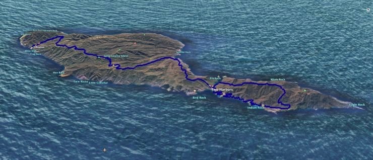
3D Map
Starlight Beach / Old Route
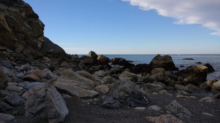
Before 2017, the Trans Catalina Trail had a different route, and if you're doing research online you may see guides that follow that route. The beginning of the hike went around Catalina's east end, and the "end" of the hike was Starlight Beach, at the tip of the island's west end. The Conservancy changed it to the current route outlined in this guide, and I think it's for the better. The new route is easier logistically, focuses more on great spots to camp, and avoids the steep (and some would say dangerous) hike to Starlight Beach. If you want to see what the original route looks like, I have my old track up here.
Hike Brief
- The island of Catalina was never connected to the mainland. Every creature or plant found on the island arrived by wind, water, or humans.
- Catalina Island's full name is Santa Catalina Island, and it's one of the eight channel islands of California, but not part of Channel Islands National Park.
- Native peoples like the Tongva inhabited the island for 8000 years before the Mexicans and Americans came and stamped their authority on the area. Even then, Catalina was way off the beaten path and home to smugglers, illegal mining, and hunters.
- It wasn't until the 1920s when chewing gum millionaire William Wrigley Jr. bought most of the island and developed it into a tourist attraction. The golf course and aviary that you pass on the beginning of the hike are from of those days. You might recognize the name Wrigley from the Cubs' Wrigley Field in Chicago. Well the team would do their spring training here until World War 2.
- In the 1970s the Catalina Island Conservancy, a private non-profit organization, took over much of the island with the aim of preserving and restoring the natural environment. Today they own 88% of the island and manage the longest publicly accessible stretch of undeveloped coastline left in Southern California. They also manage the trails and campgrounds that you'll stay at on the TCT hike. Because of them, the TCT is a beautiful hike through native lands, not high-rise resorts and condos.
- The Trans Catalina Trail was conceived until 2009, when the Conservancy came up with the idea and encouraged backpackers to tackle this new thru-hike. The island has over 165 miles of trails.
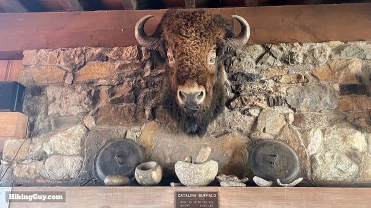
- There are about 150 bison that roam the island. If you don't see them, you'll see their big dung piles (aka the "buffalo chip") for sure. They are the (population-controlled) descendants of bison brought over in 1924 for a film shoot. It's important to stay at least 150 feet away from them. If they feel threatened they can charge, and they are faster than you. If they are blocking the trail, you have to either wait or improvise and go around. I've seen a flippant group of hikers get charged once. They had to jump into a gully. Take it seriously.
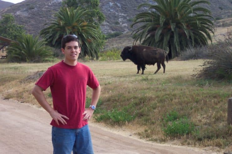
This is too close. Don't do this. And FYI, you can see bison almost anywhere except downtown Avalon. That includes campgrounds and the beaches. They generally like to follow the roads and trails. Photo David Galvan - If you've seen the movie Step Brothers with Will Ferrell, I'm sure you'll remember the Catalina Wine Mixer. The island actually capitalized on the movie's cult status and threw the festival. The inside joke is that in the movie, the actual mixer takes place in Palos Verdes on the mainland, and in some shots you can see Catalina in the distance, way off the coast.
- While you might see some bison, bald eagles, snakes, mule deer, or other creatures, the massive winner in terms of cute is the native Catalina Island Fox. In 1999 it was was endangered; there were only 100 left. The Conservancy worked hard to restore the population, and today there are nearly 2000 on the island (and they are no longer endangered). They are docile and friendly, but obviously, don't feed them or touch them. They will try to steal your food if it's left alone and do bite humans when threatened.

The ultimate cutie, the Catalina Island Fox. Photo Wikipedia.
Trans Catalina Trail Hike Directions
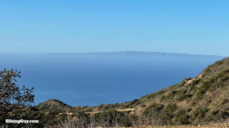
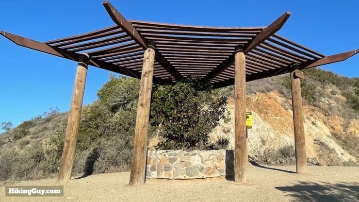
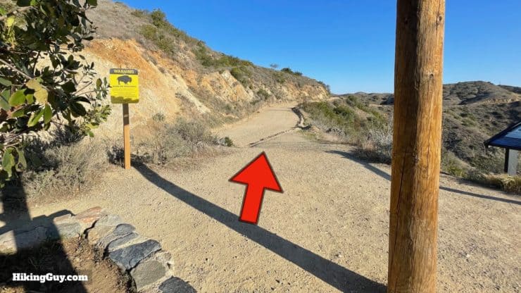
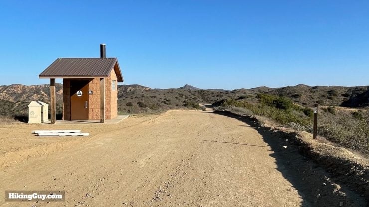
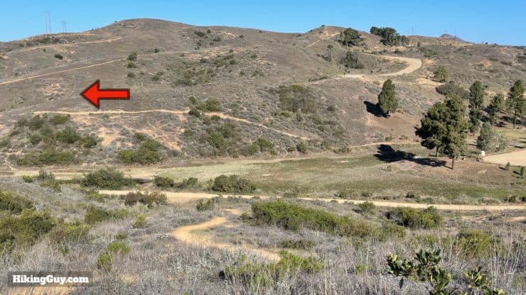
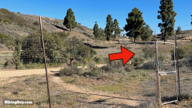
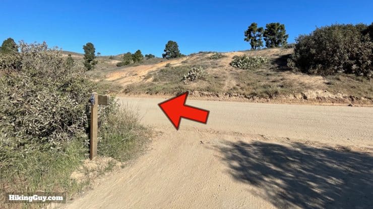
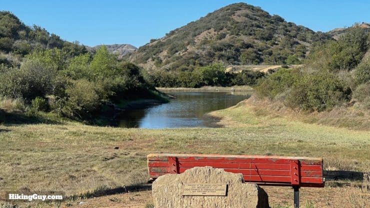
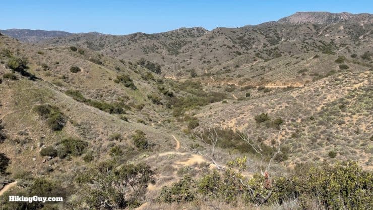
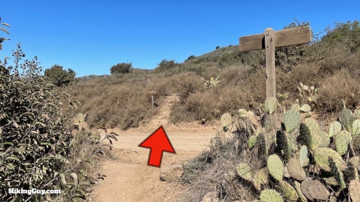
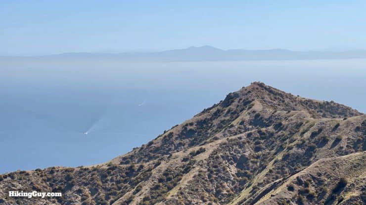
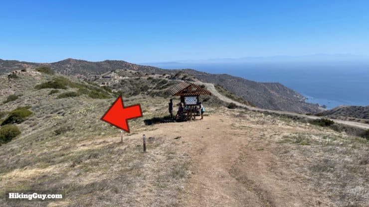
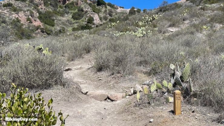
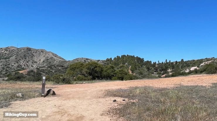
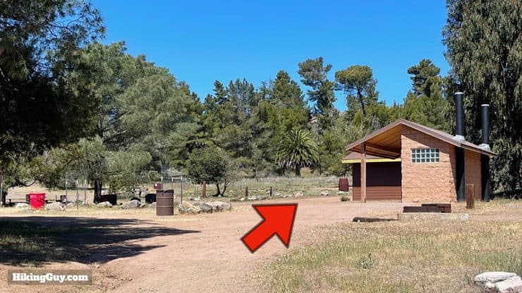
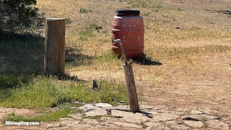
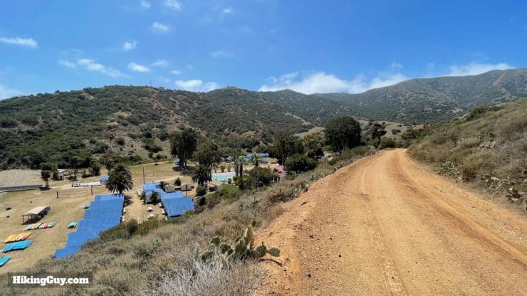
Avalon to Black Jack Campground

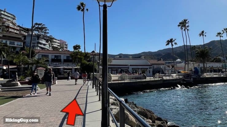
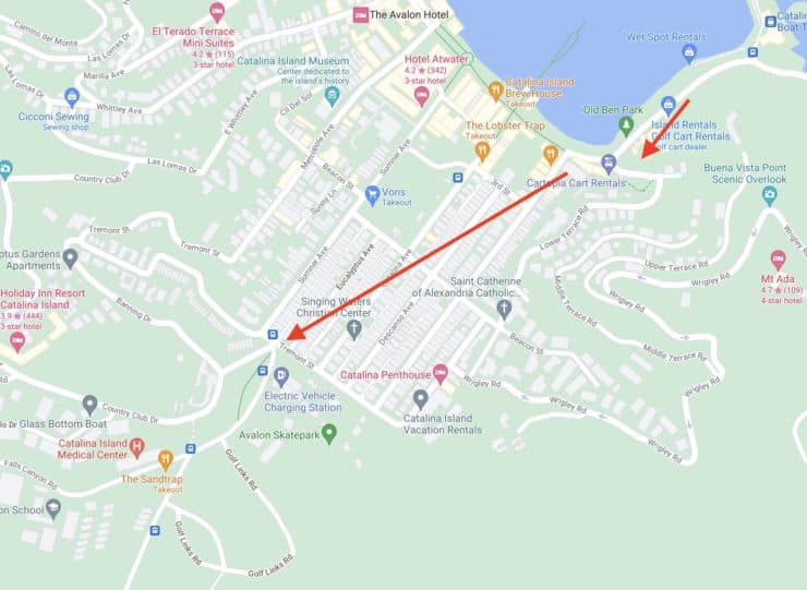
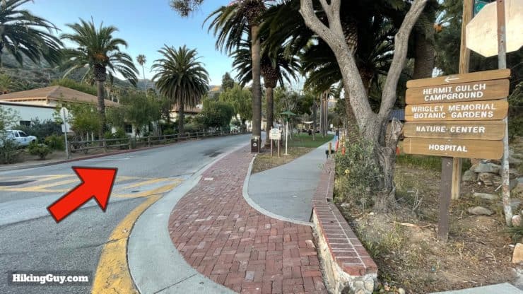
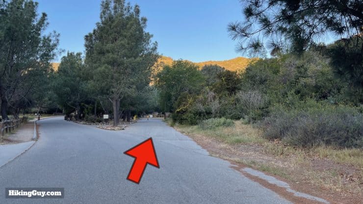
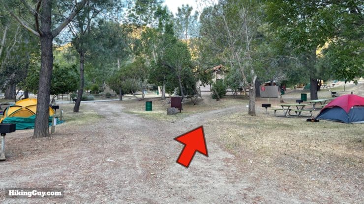
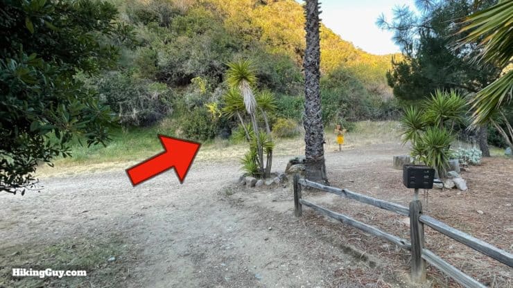
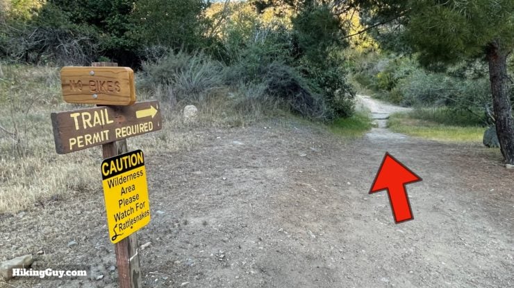
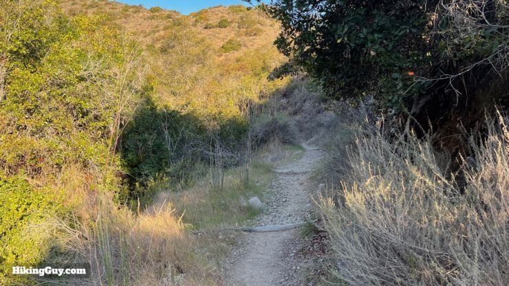
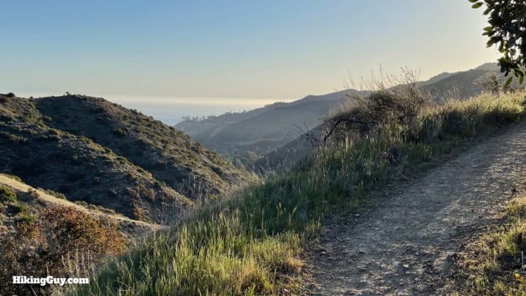
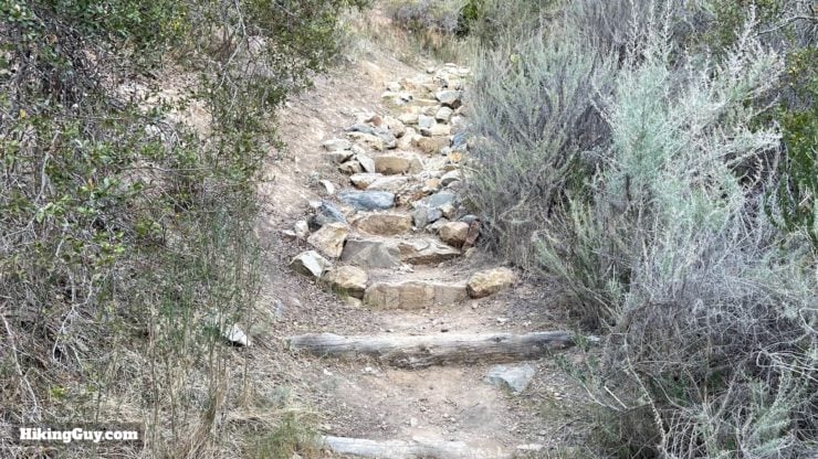
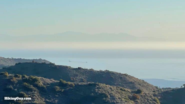
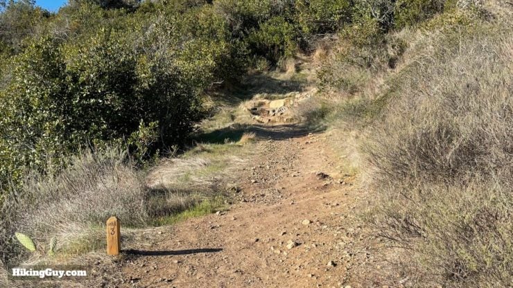
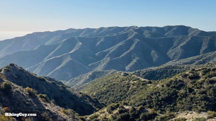
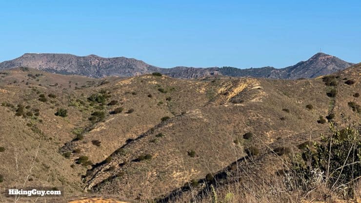
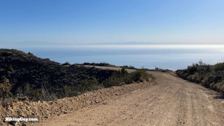
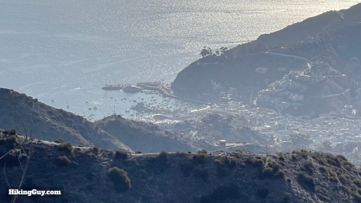
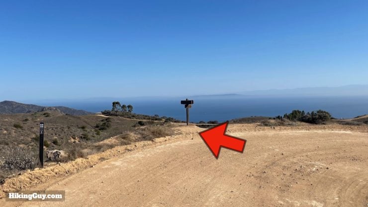
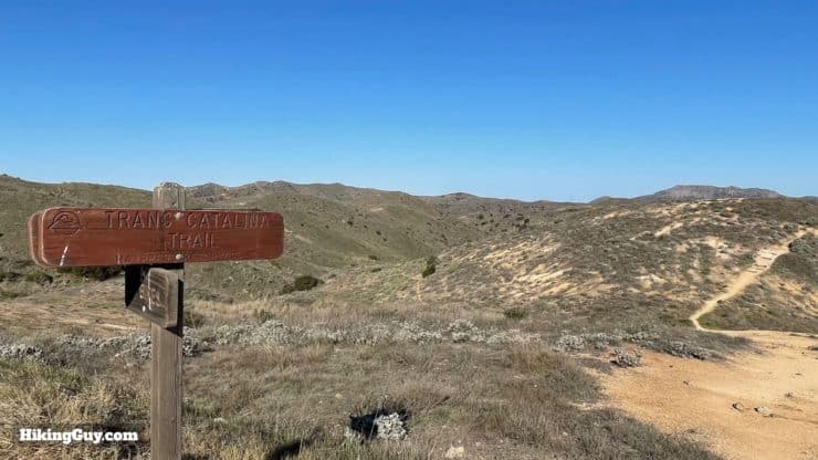
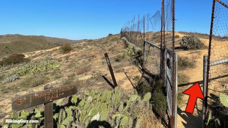
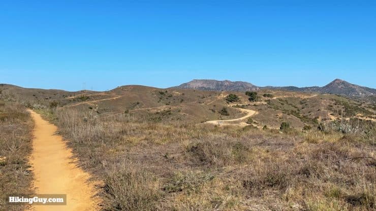
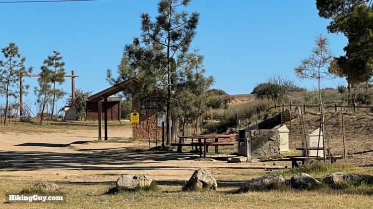
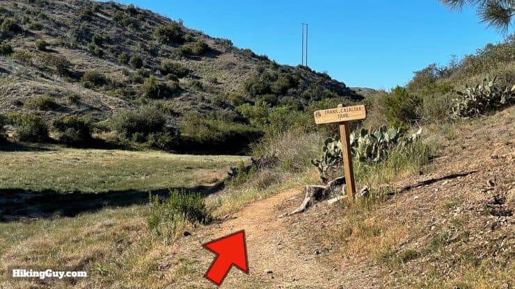
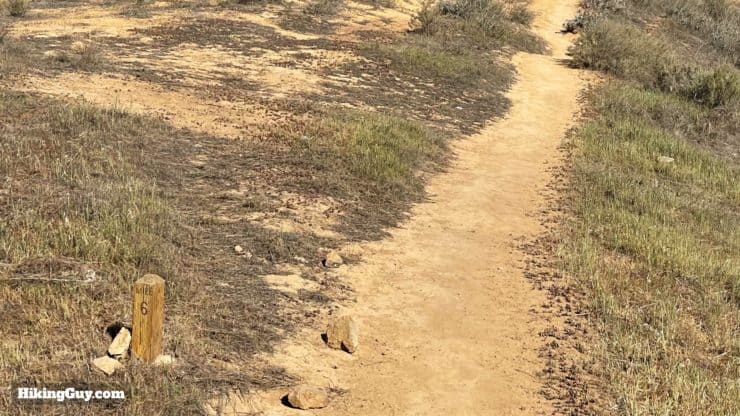
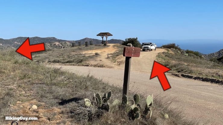
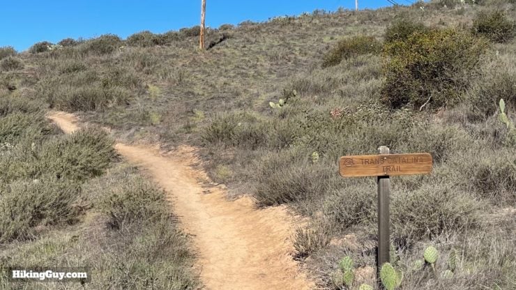
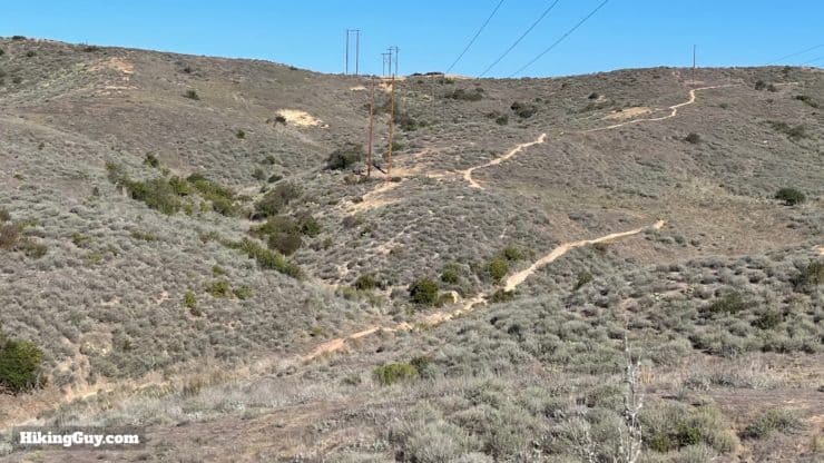
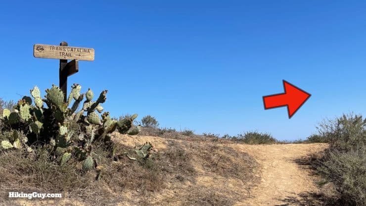
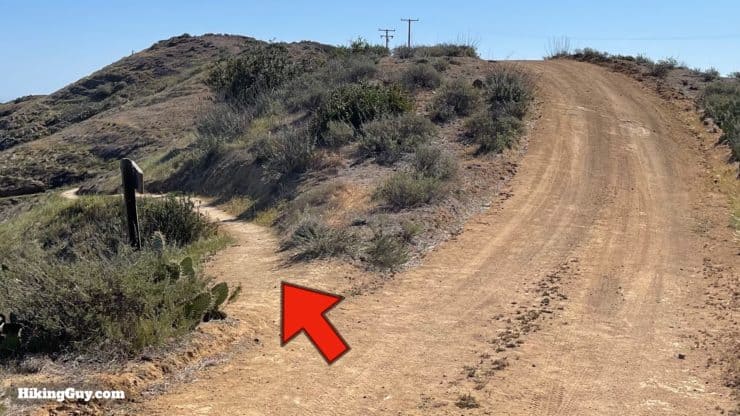
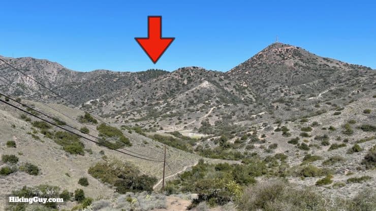
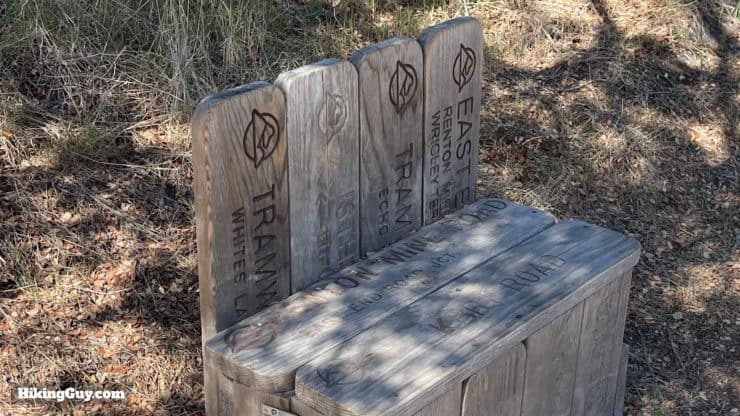
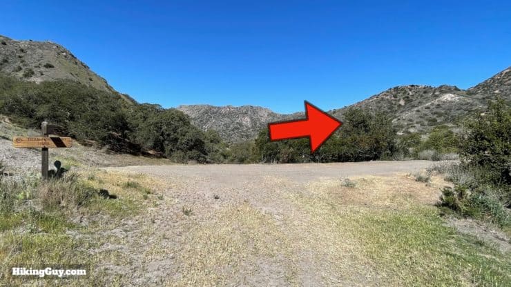
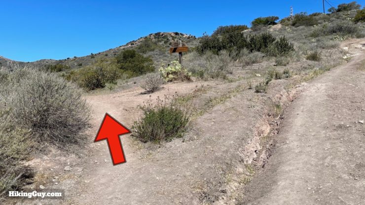
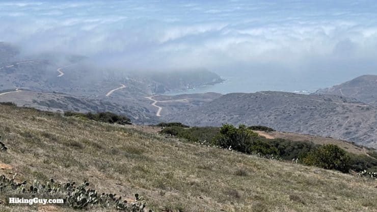
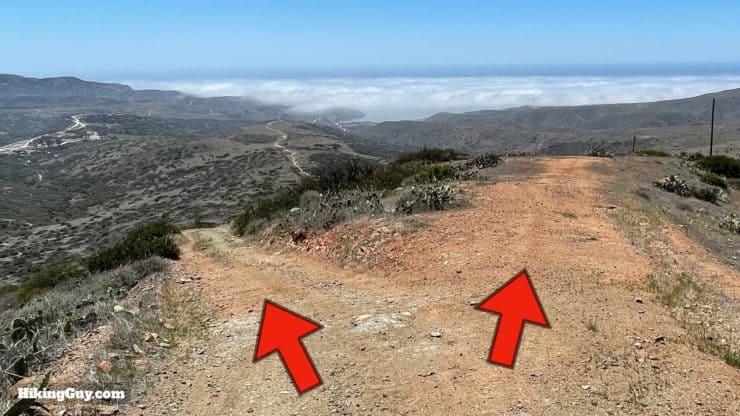
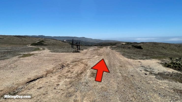
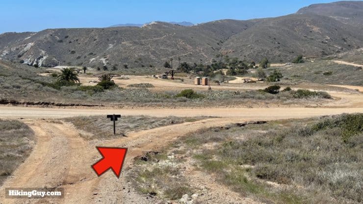
Black Jack Campground to Little Harbor
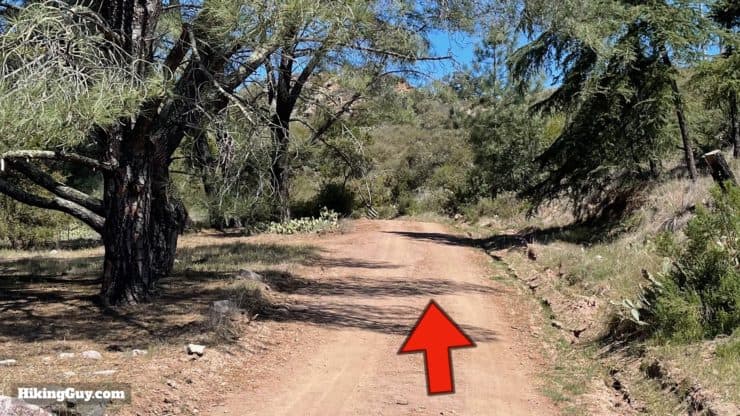
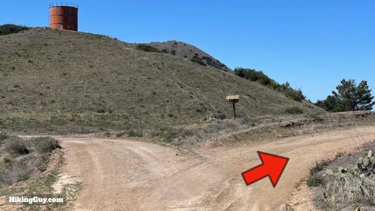
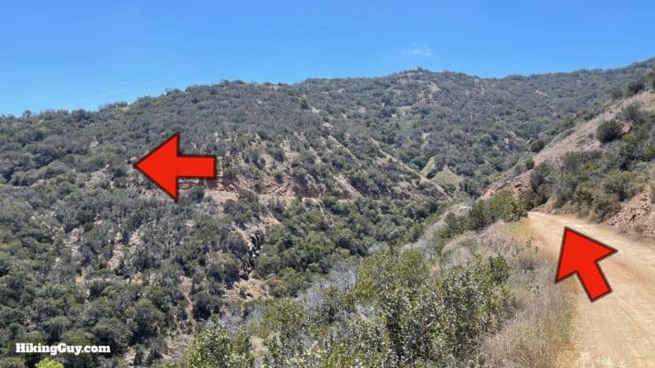
If you want to do a side hike to the highest point on Catalina, Mt Orizaba, make the left here and go up the road. It's about an extra hour (out and back) to visit. At the top is an aviation radio beacon (VOR) used by airplanes to navigate.
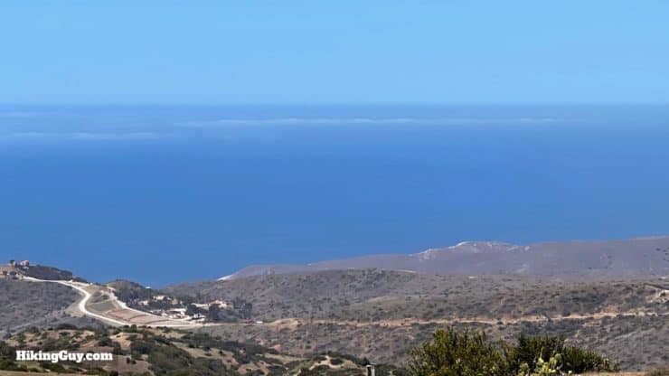
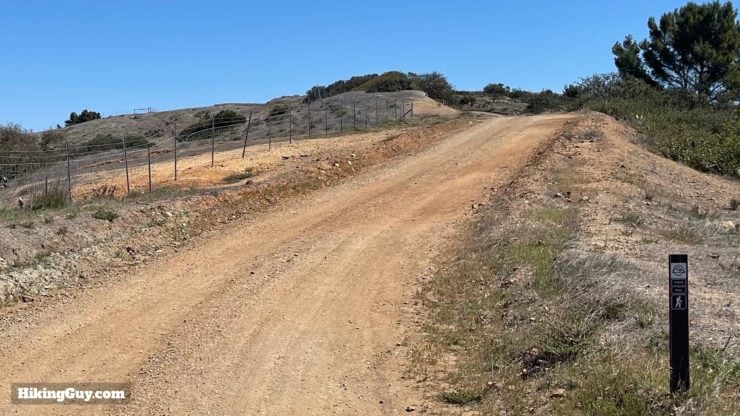
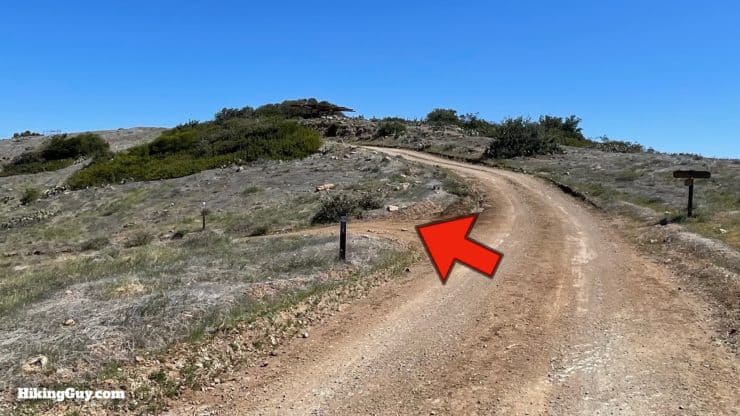
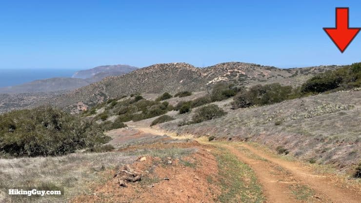
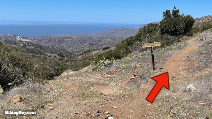
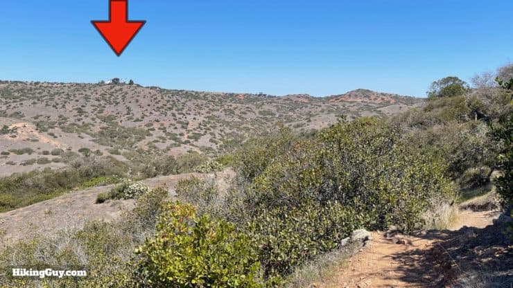
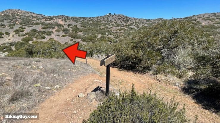
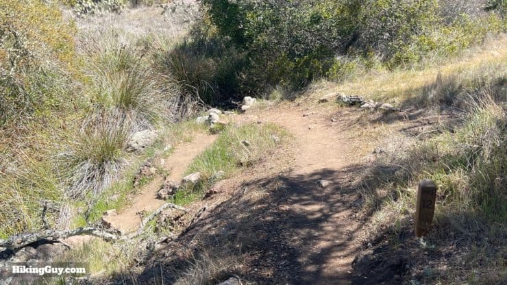
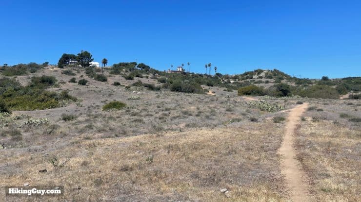
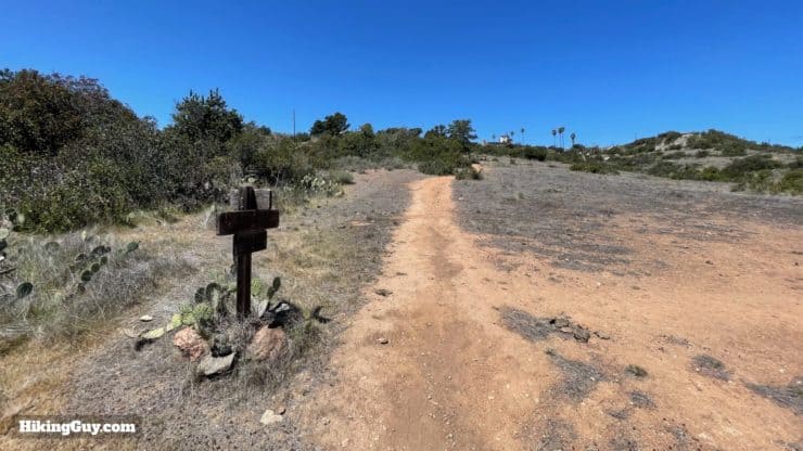
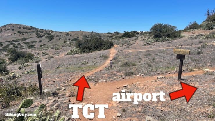
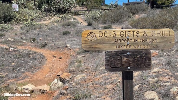
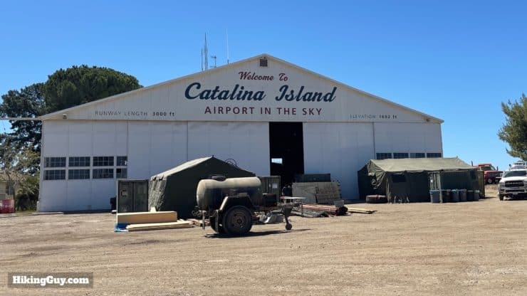
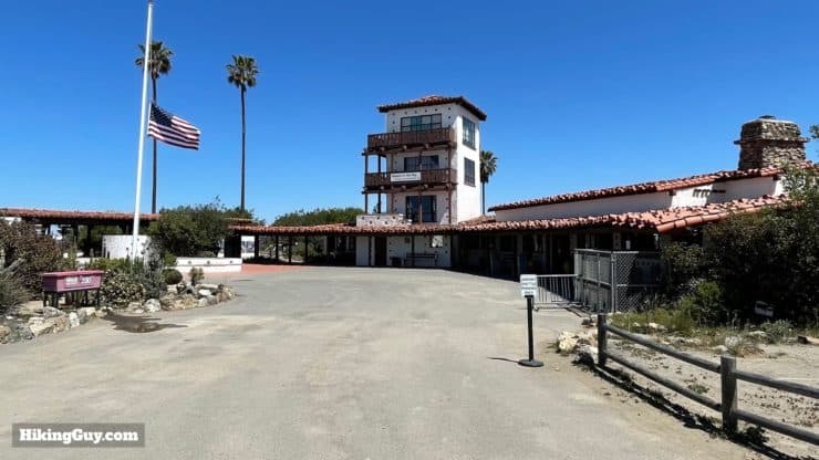

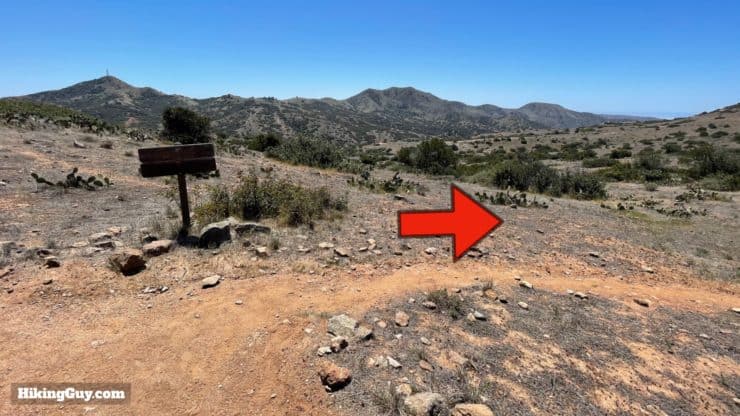
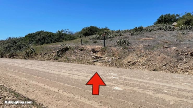
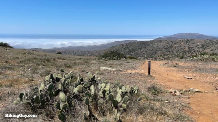
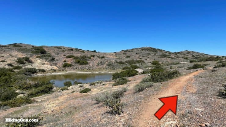
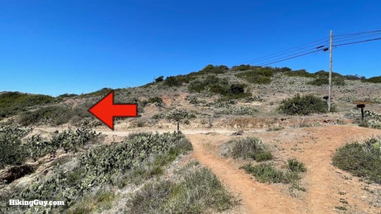
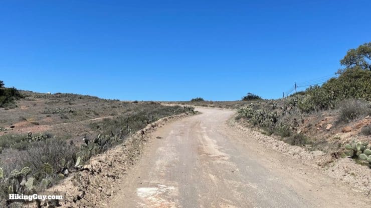
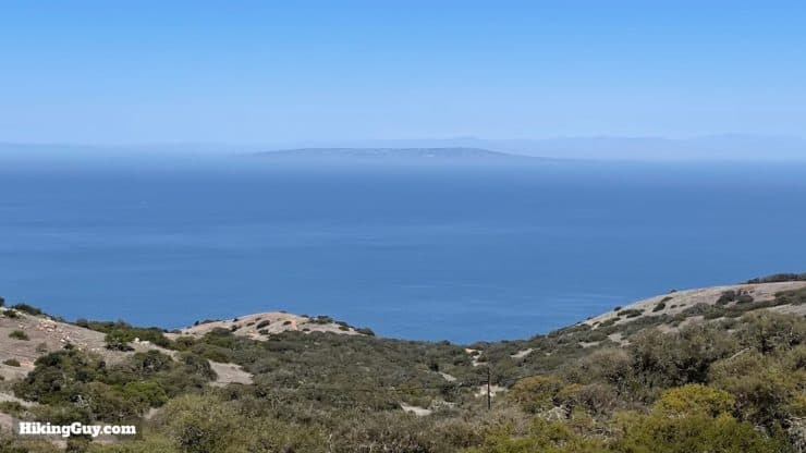
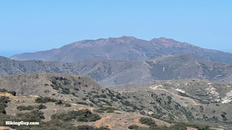
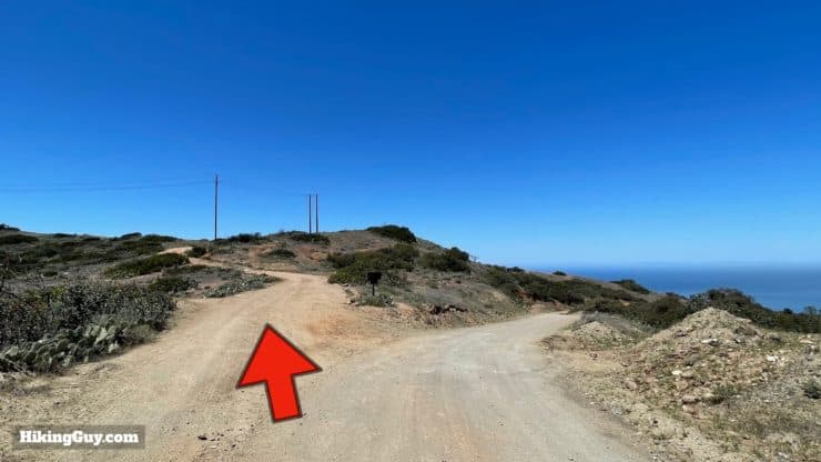
Note, the current route has you going right, and then down Springs Ridge. I've put that into the interactive map and GPX file. The route is similar to this descent down Sheep Chute Road. If you take the Springs Ridge option, just join the directions below at Little Harbor.
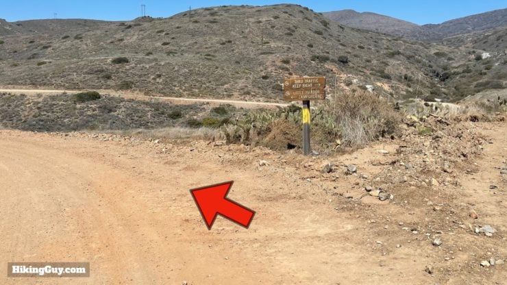
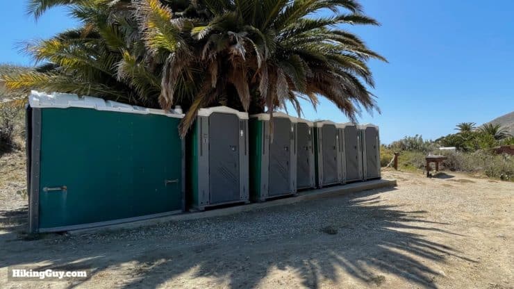
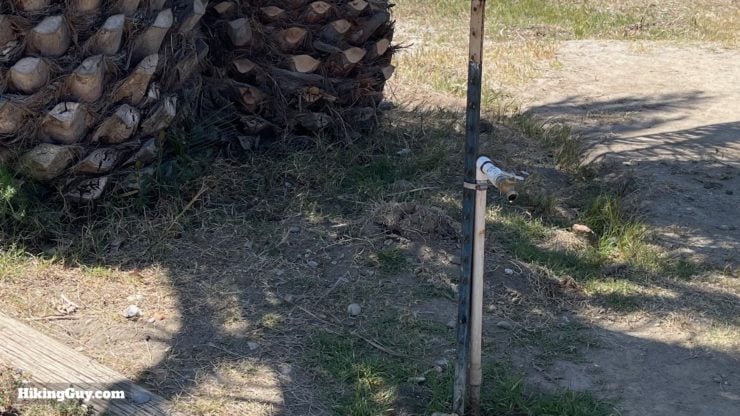
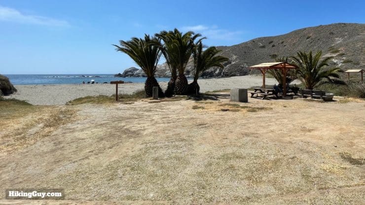
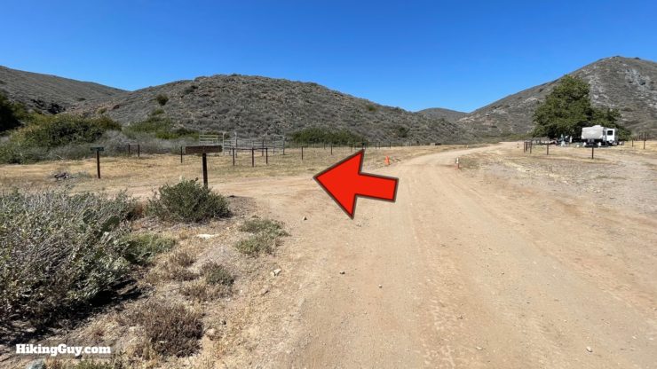
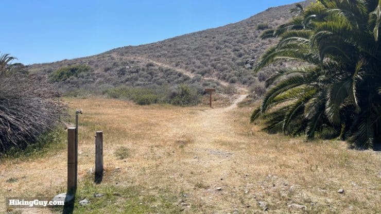
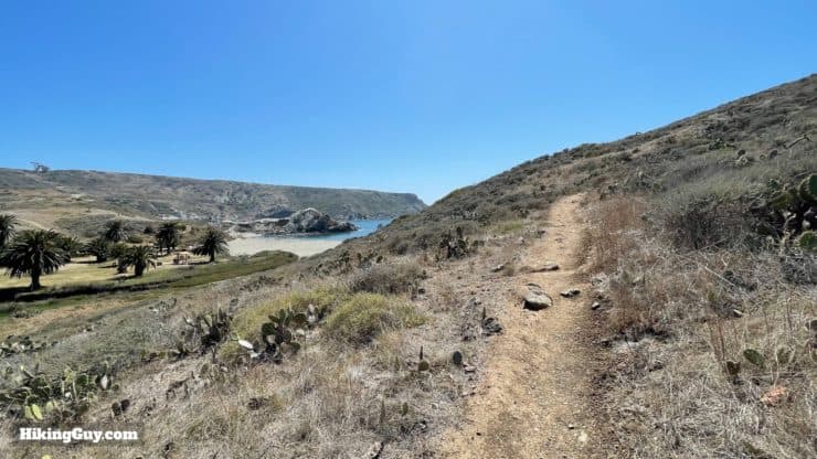
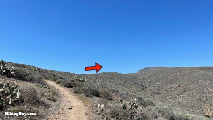
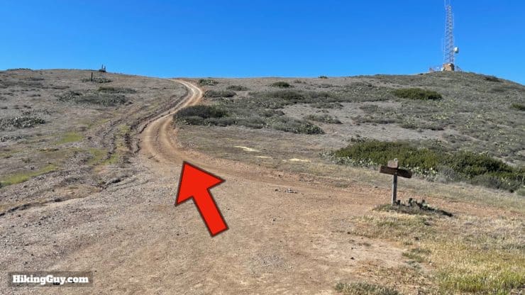
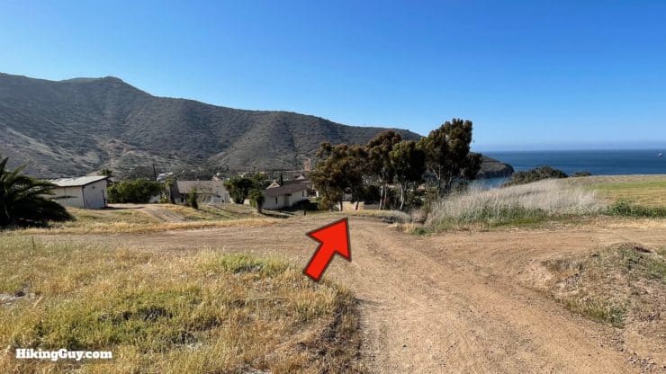
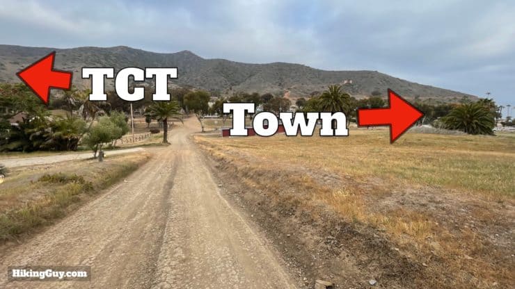
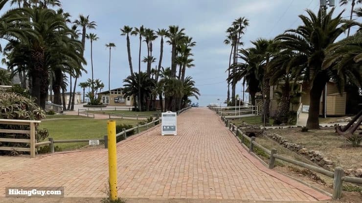
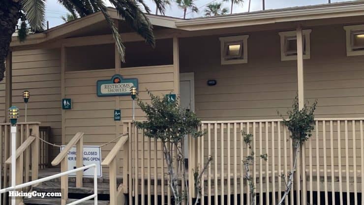
Little Harbor to Two Harbors
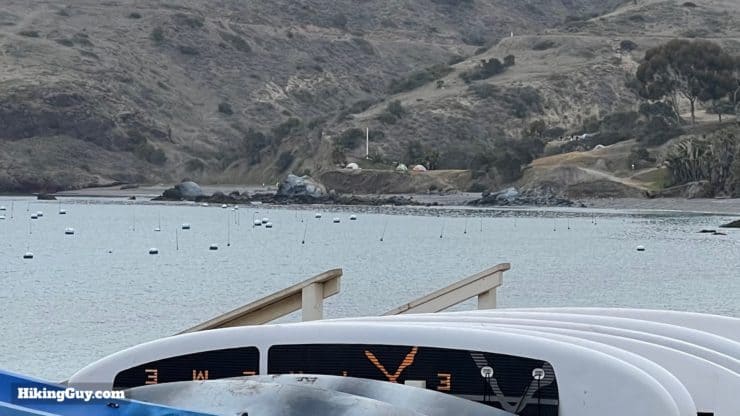
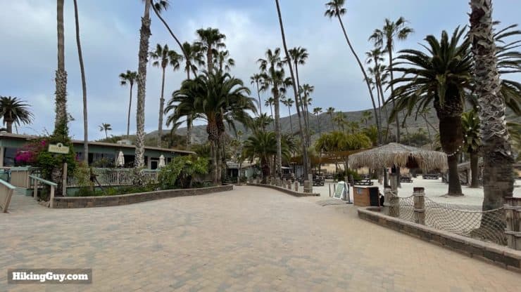
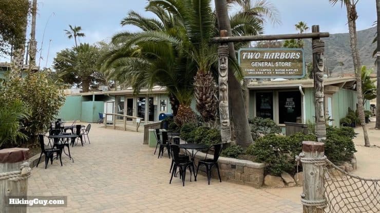

Two Harbors to Parsons Landing
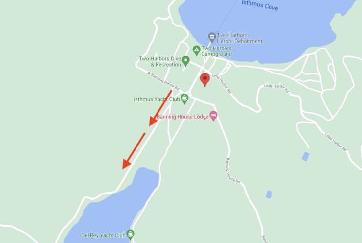
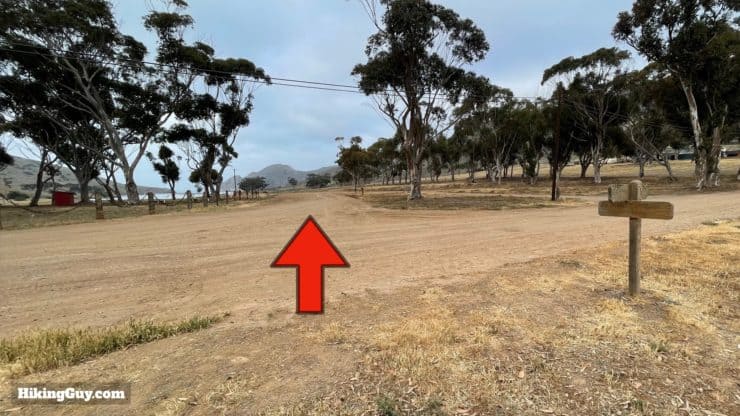
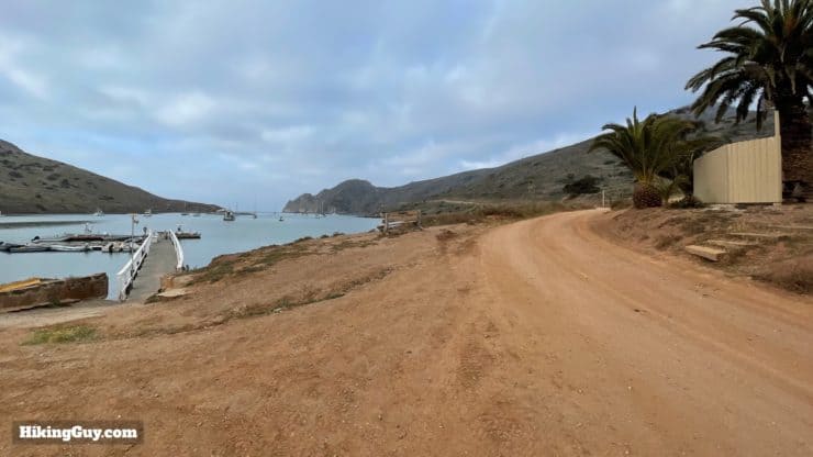
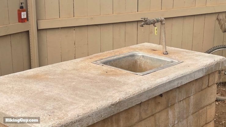
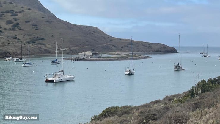
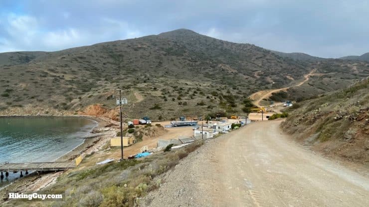
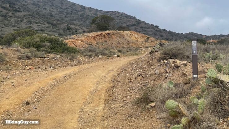
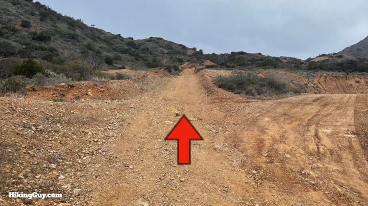
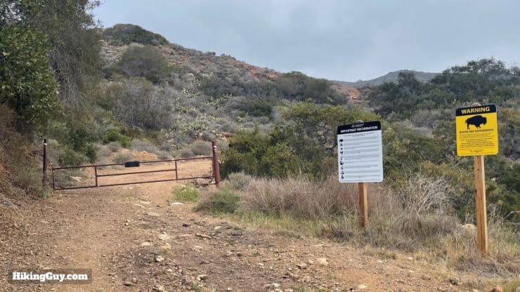
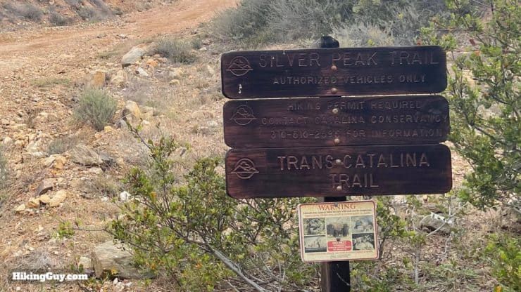
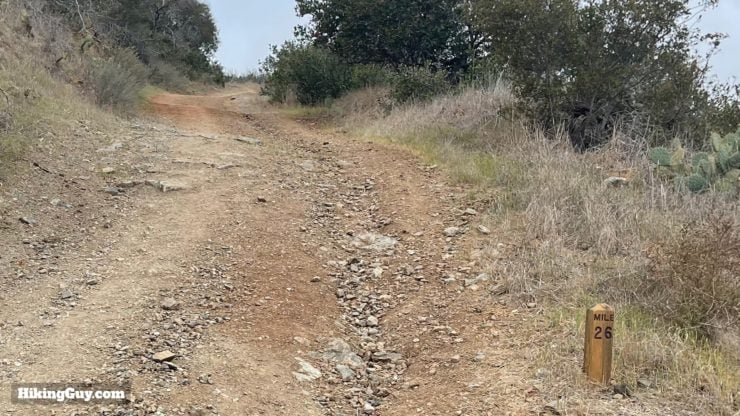
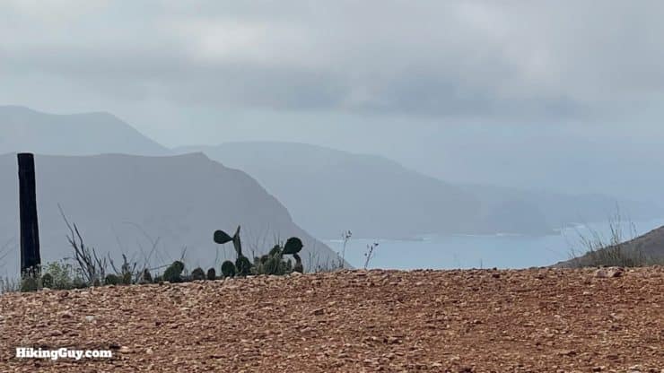
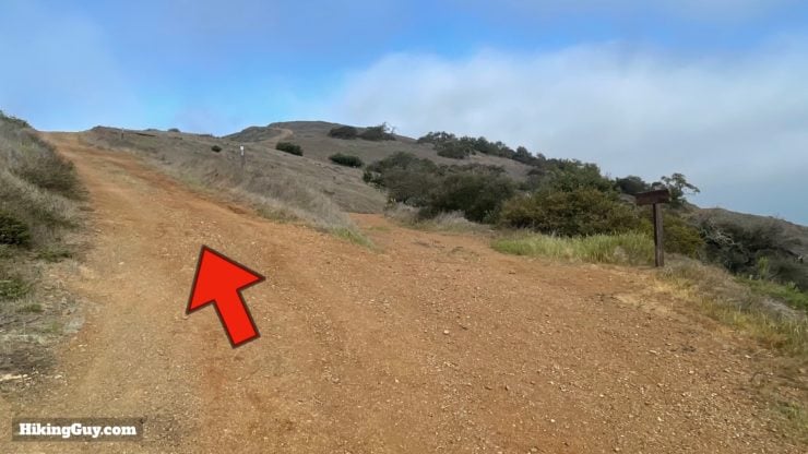
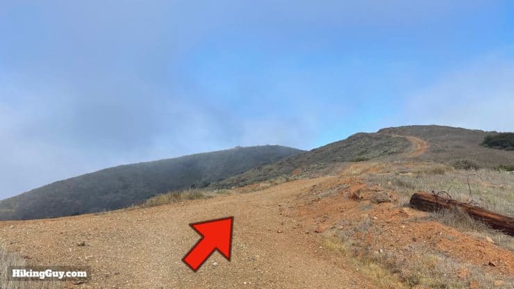
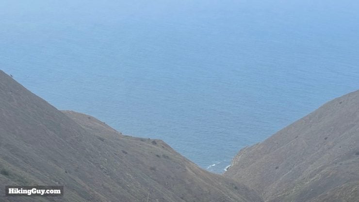
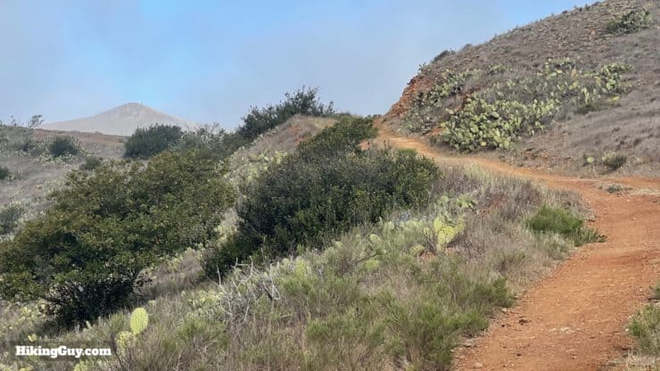
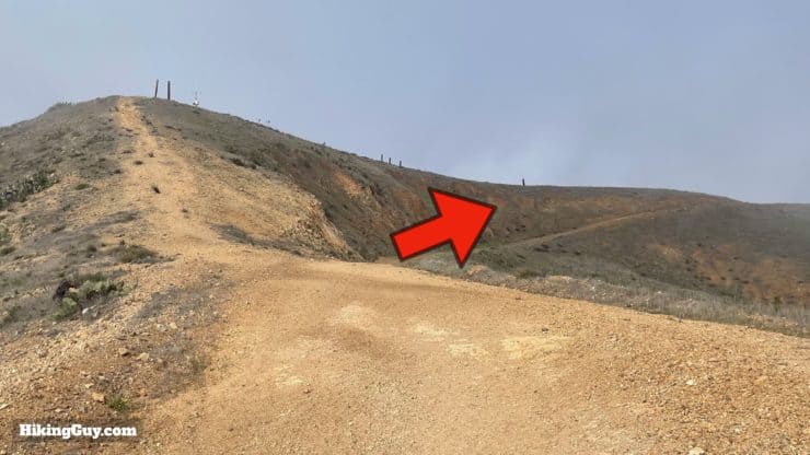
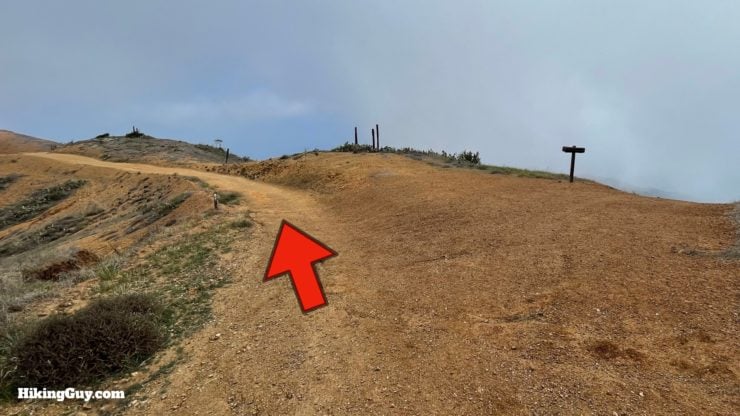
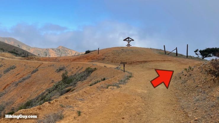
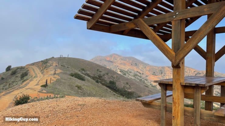
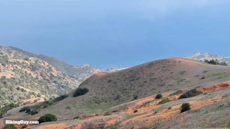
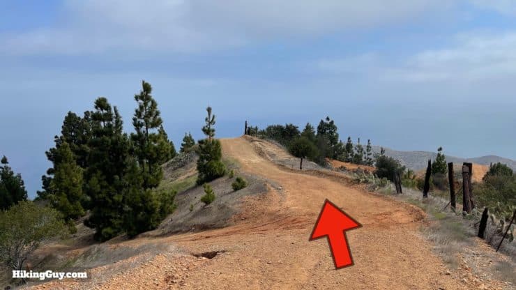
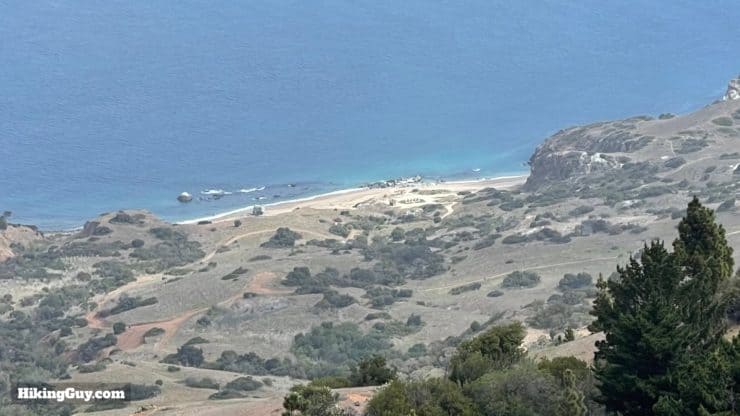
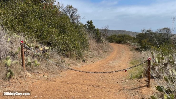
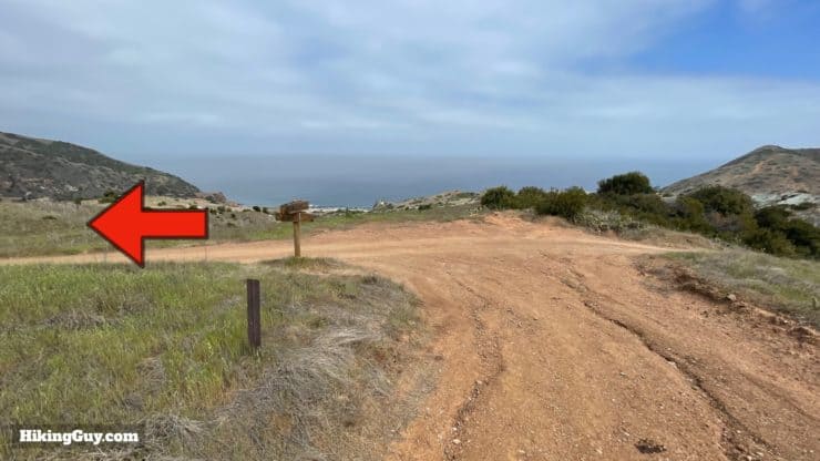
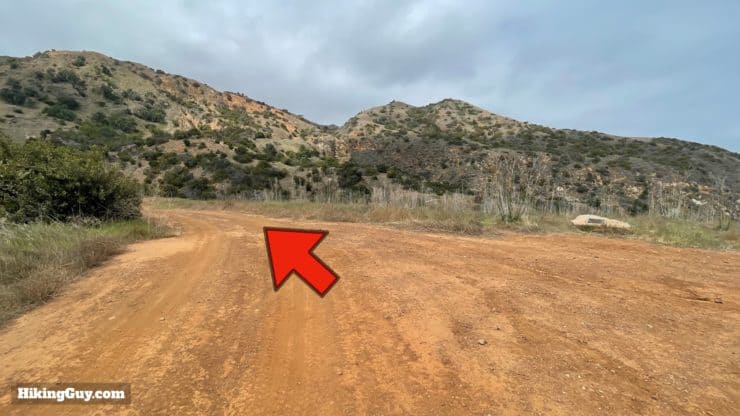
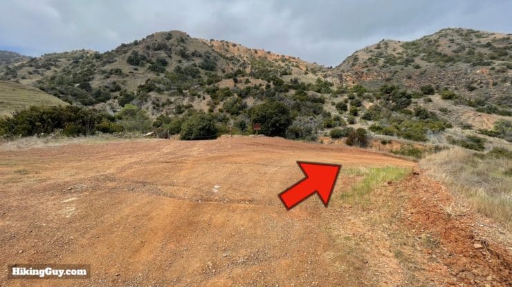
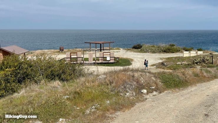
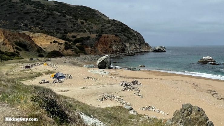
I have a full guide to Parsons Landing here if you'd like to explore the campsites.
Parsons Landing to Two Harbors
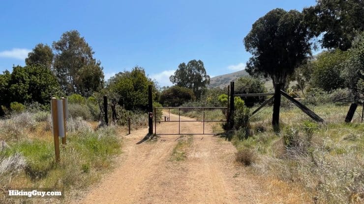
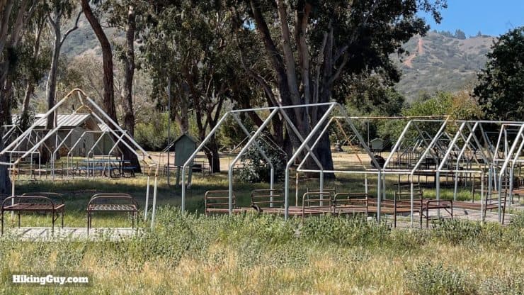
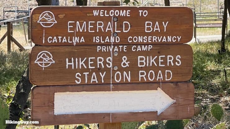
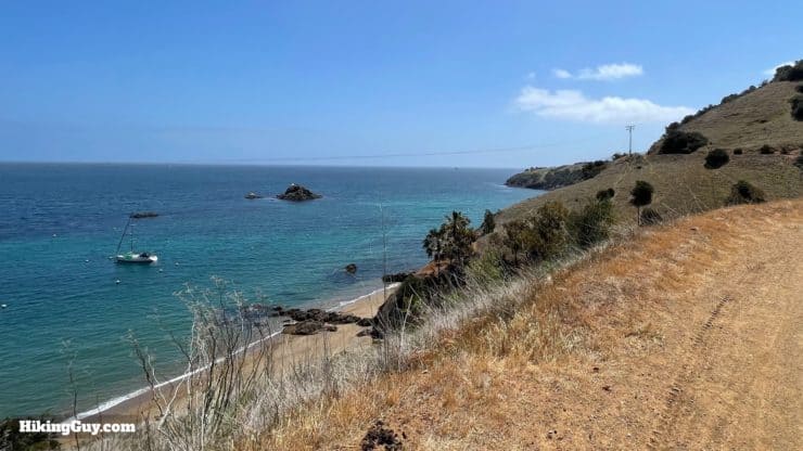
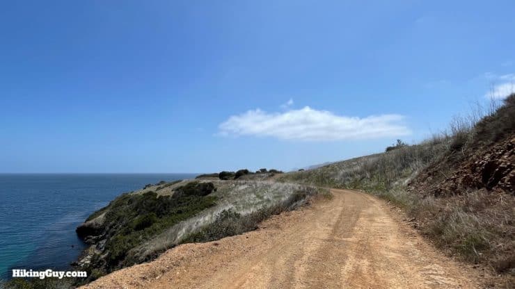
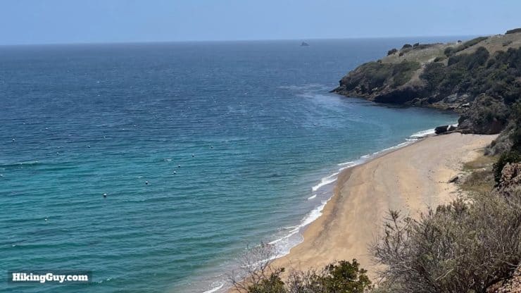
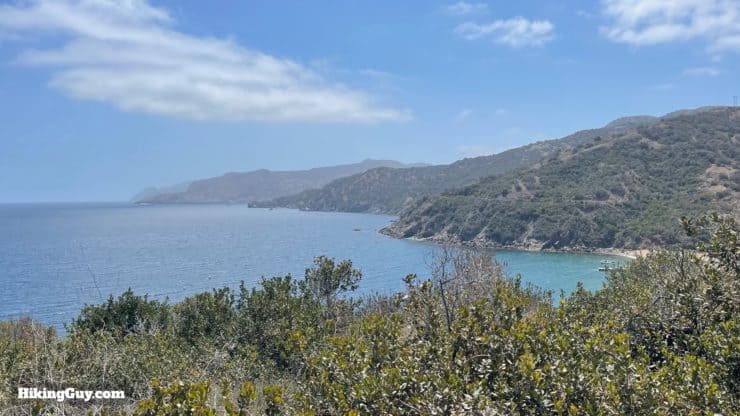
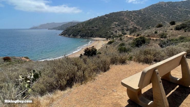
After all the ups and downs of the last 30 or so miles, the remaining part of the Trans Catalina Trail is a cakewalk along the coast.
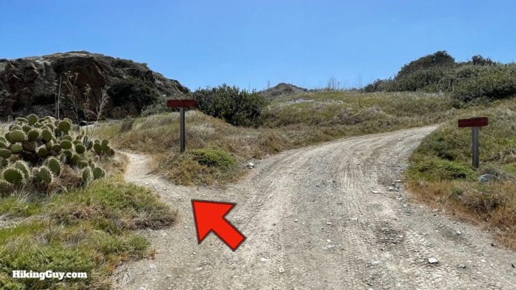
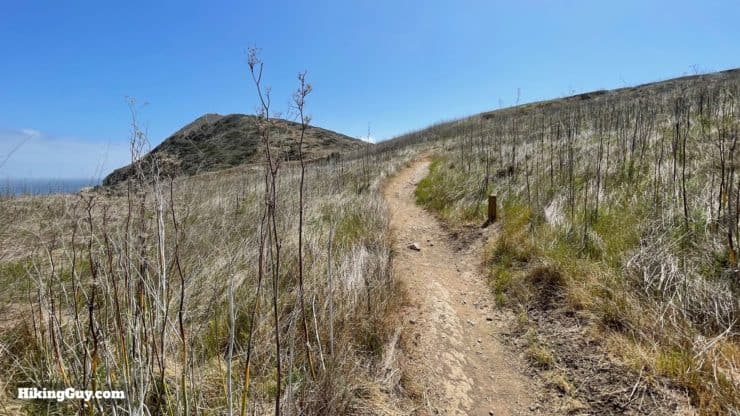
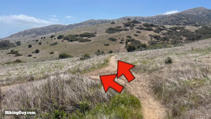
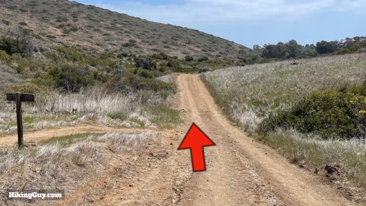
As I was creating this guide, this story about toxic dumping in these beautiful waters was published.
Need More Info?
- Have a question about the guide? Join my Patreon and ask me a question.
- When planning, always check the park website and social media to make sure the trails are open. Similarly, check the weather and road conditions.
- Do you have an update to this guide? View the Youtube comments for this video. Leave a comment and I will do my best to update the guide.


 Using the Apple Watch for Hiking
 Garmin Fenix 7 & Epix Review For Hikers
 How To Read a Topographic Map
 Garmin GPSMAP 67i Review
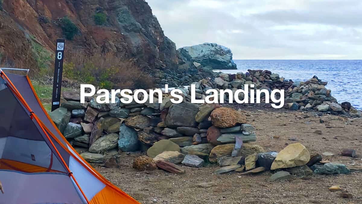 Hiking on Catalina Island to Parsons Landing Campsite
 Gabrielino Trail (NRT) Guide
 California Riding and Hiking Trail (Joshua Tree)
 Hiking & Camping Channel Islands National Park (Santa Cruz)
 Los Angeles Hikes
 Backpacking Trips
 Best Hikes in the World
 Best Hiking Gear 2024
 Hiking Boots or Shoes: Do I Really Need Hiking Boots?
 When to Hit SOS on inReach