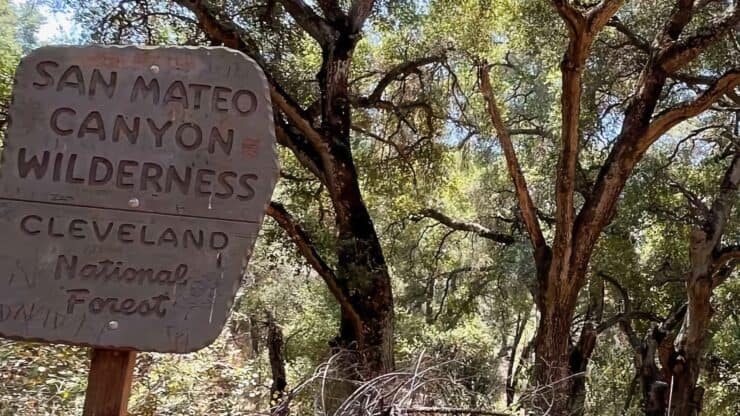

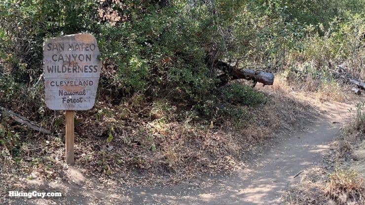
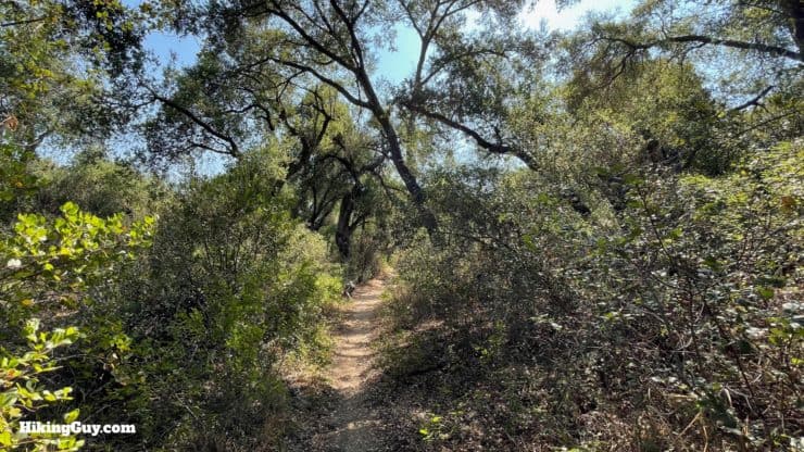
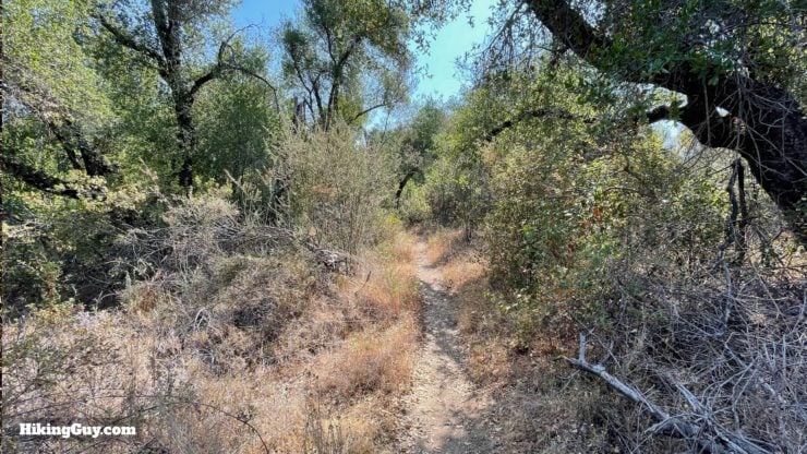
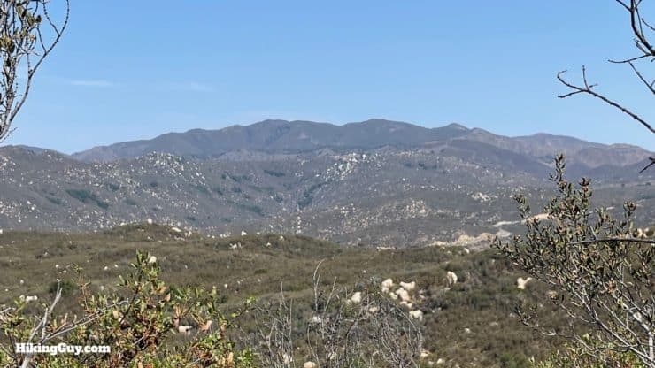
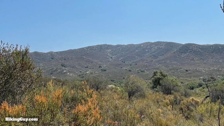
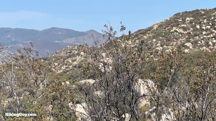
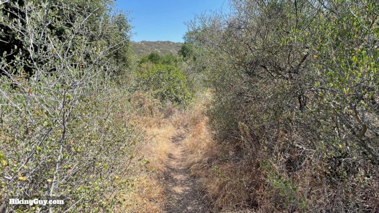
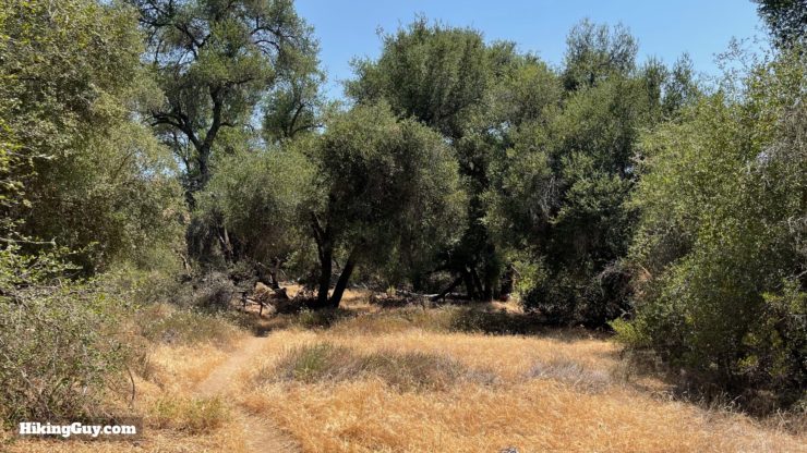
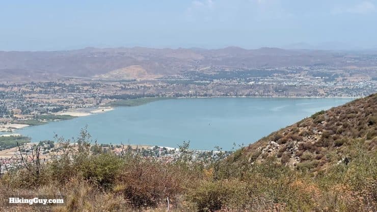
Hiking the Morgan Trail takes you on a serene journey through the rugged San Mateo Canyon Wilderness, off the beaten path and away from the hustle and bustle of other nearby and popular trails. You'll hike through the chaparral with high peaks of the Santa Anas flanking you until you reach scenic and shaded Morrell Canyon, full of willows, sycamore, and oaks. And at the end of the Morgan Trail, you'll be treated to epic views of Lake Elsinore and the high peaks of Southern California.
- Video and Turn-by-Turn Directions for the Morgan Trail
- Parking / Recommended Direction for the Hike
- Insider Tips For the Morgan Trail
Hiking the Morgan Trail takes you on a serene journey through the rugged San Mateo Canyon Wilderness, off the beaten path and away from the hustle and bustle of other nearby and popular trails. You'll hike through the chaparral with high peaks of the Santa Anas flanking you until you reach scenic and shaded Morrell Canyon, full of willows, sycamore, and oaks. And at the end of the Morgan Trail, you'll be treated to epic views of Lake Elsinore and the high peaks of Southern California.
Where is the Morgan Trail?
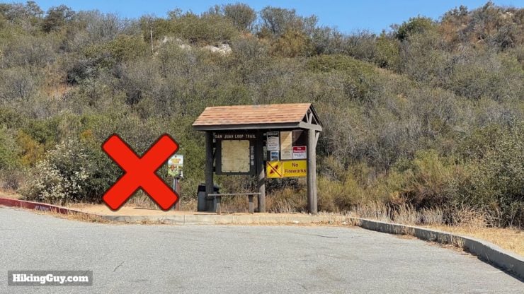
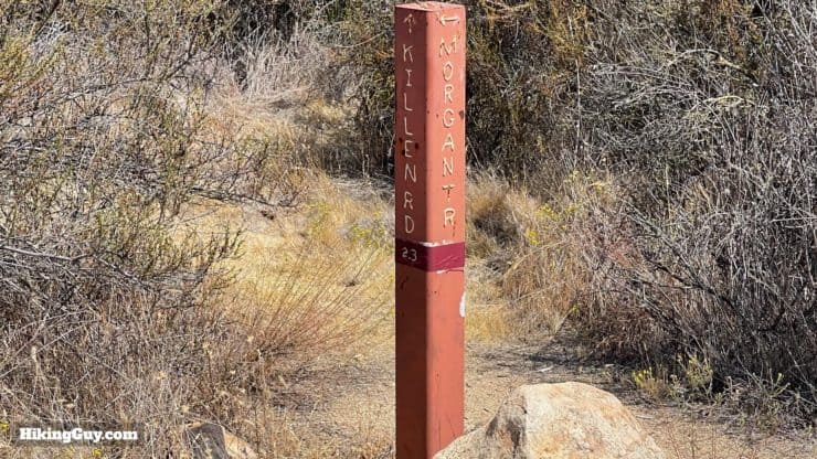
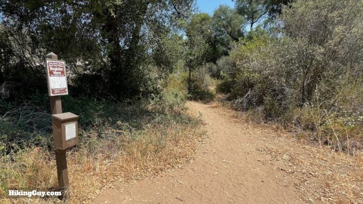
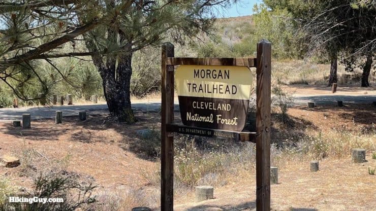
The Morgan Trail is point-to-point, with the official parking area on the east side of the trail. However, I prefer starting the hike from the western end, which is at the big parking lot by the Ortega Oaks Candy Store on SR-74. With this routing, you do most climbing on the outward leg, get to see Morrell Canyon and the view at the end, and then have a (generally) downhill hike back to the start. Hiking the Morgan Trail in the other direction is a bit anticlimactic.
Use this address for the trailhead:
San Juan Loop Trailhead. 34950 CA-74, Lake Elsinore, CA 92530
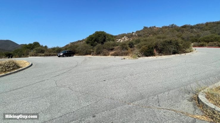
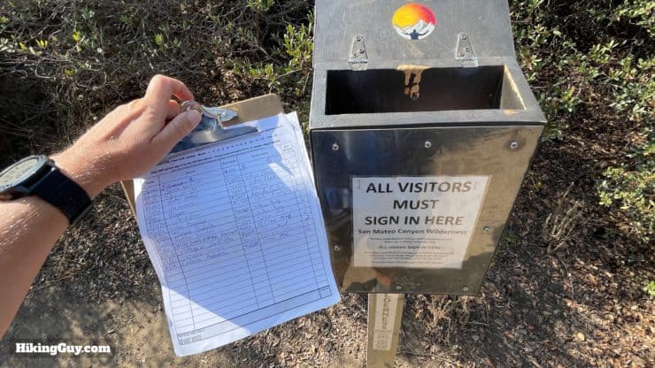
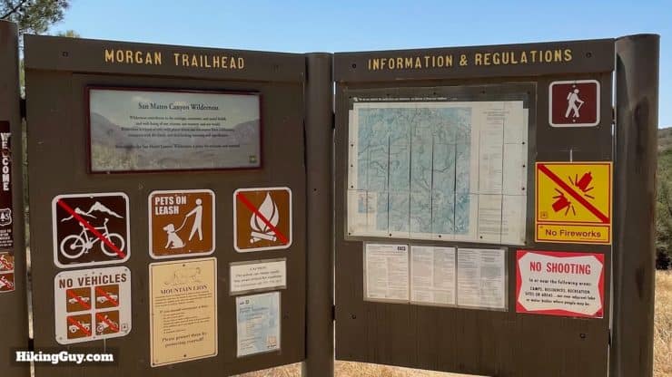
This is a fee area, get a National Parks pass or Adventure Pass to park here.
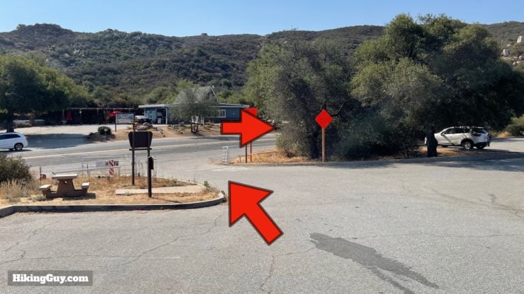
If you want sandwiches, drinks, or snacks, the Ortega Oaks Candy Store, right across the street, is a good bet.
Gear For the Hike
This is a backcountry hike, so I recommend proper hiking gear. It can get very hot here in the warmer months, and much of the trail is exposed. I generally bring 2-3L of water depending on the temperature.
Gear That I Love Right Now
Nothing is sponsored or promoted, just the actual gear that I use.


Check out the complete list here. ( Updated October 2024)
Morgan Trail Maps
How Will You Navigate?
 Using the Apple Watch for Hiking
 Garmin Fenix 7 & Epix Review For Hikers
 How To Read a Topographic Map
 Garmin GPSMAP 67i Review
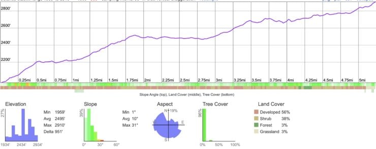
Elevation Profile
3D Map
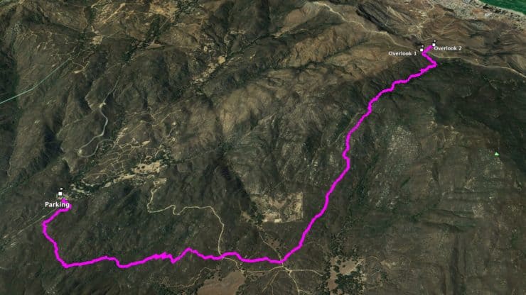
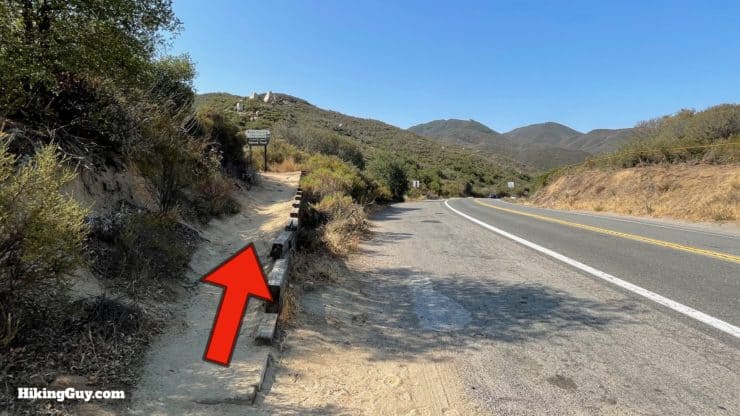
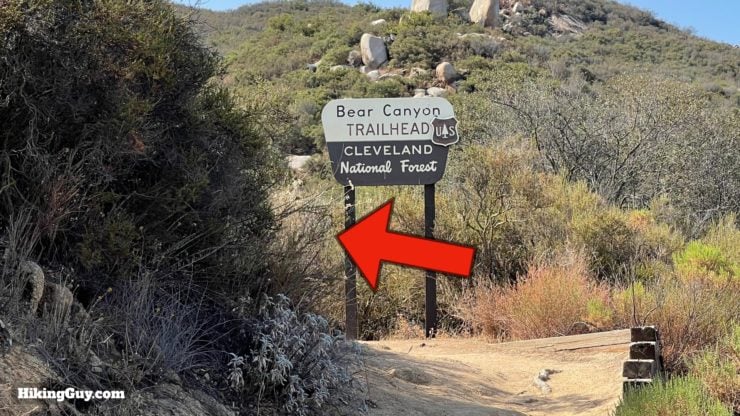
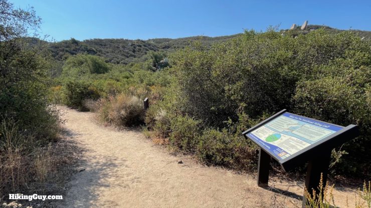
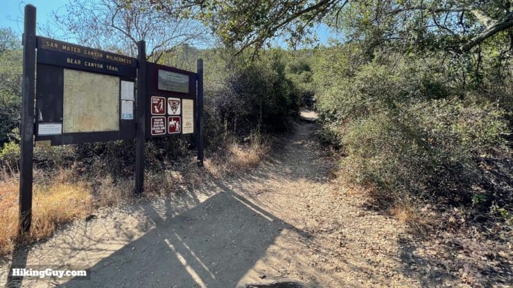
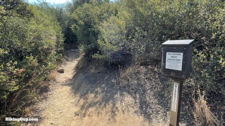
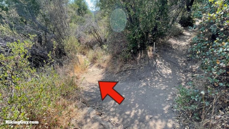
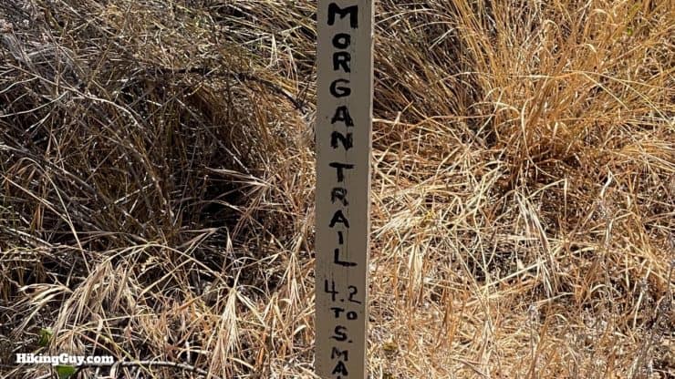
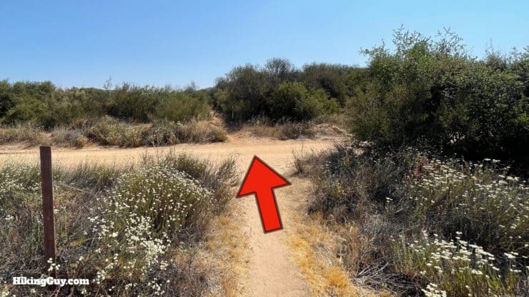
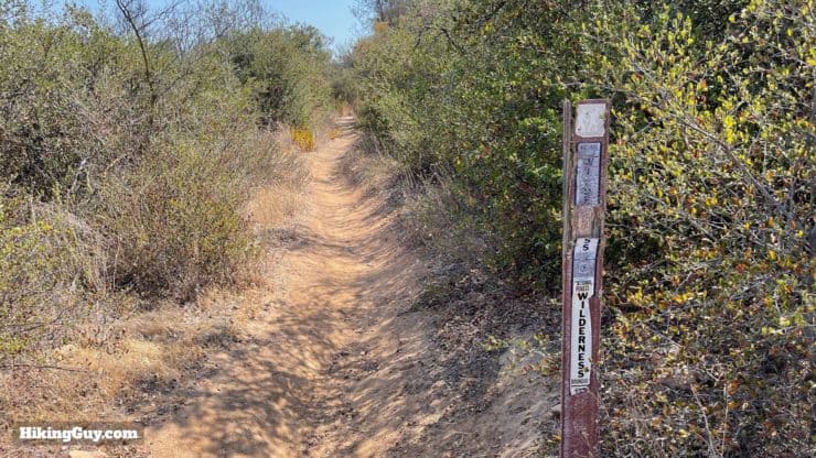
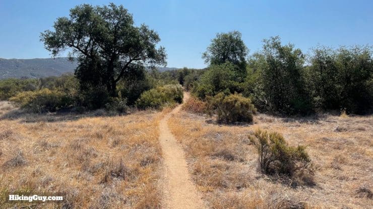
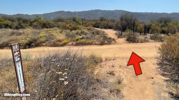
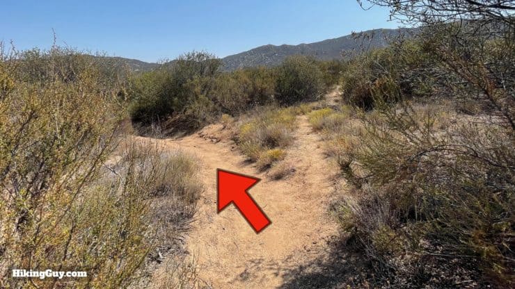
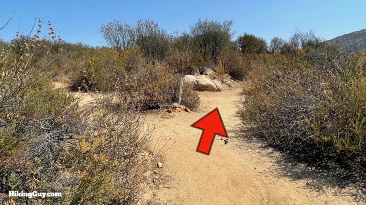
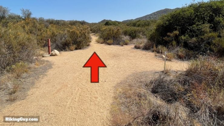
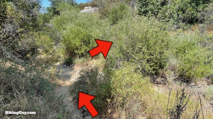
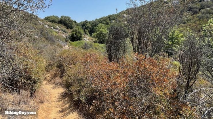
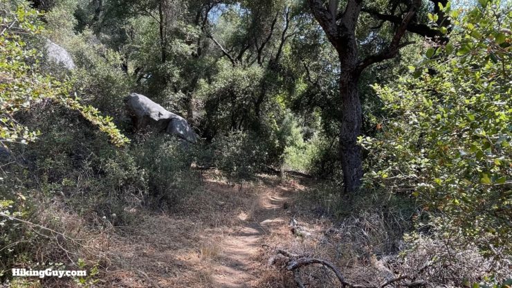
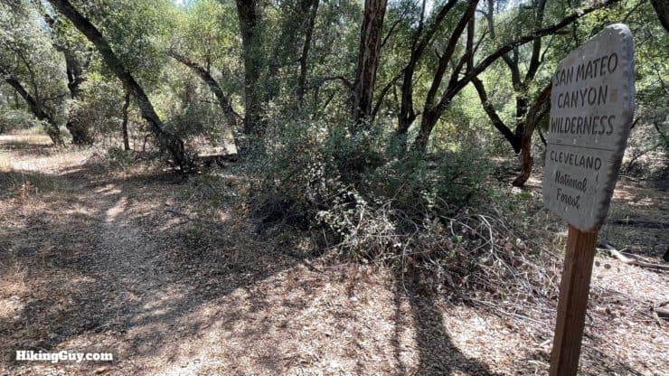
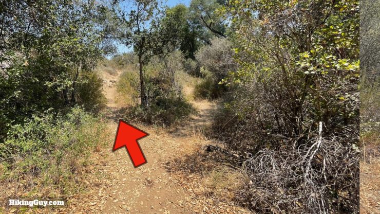
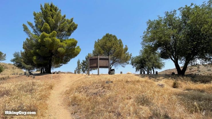
XX Hike Directions

Need More Info?
- Have a question about the guide? Join my Patreon and ask me a question.
- When planning, always check the park website and social media to make sure the trails are open. Similarly, check the weather and road conditions.
- Do you have an update to this guide? View the Youtube comments for this video. Leave a comment and I will do my best to update the guide.
Related Guides
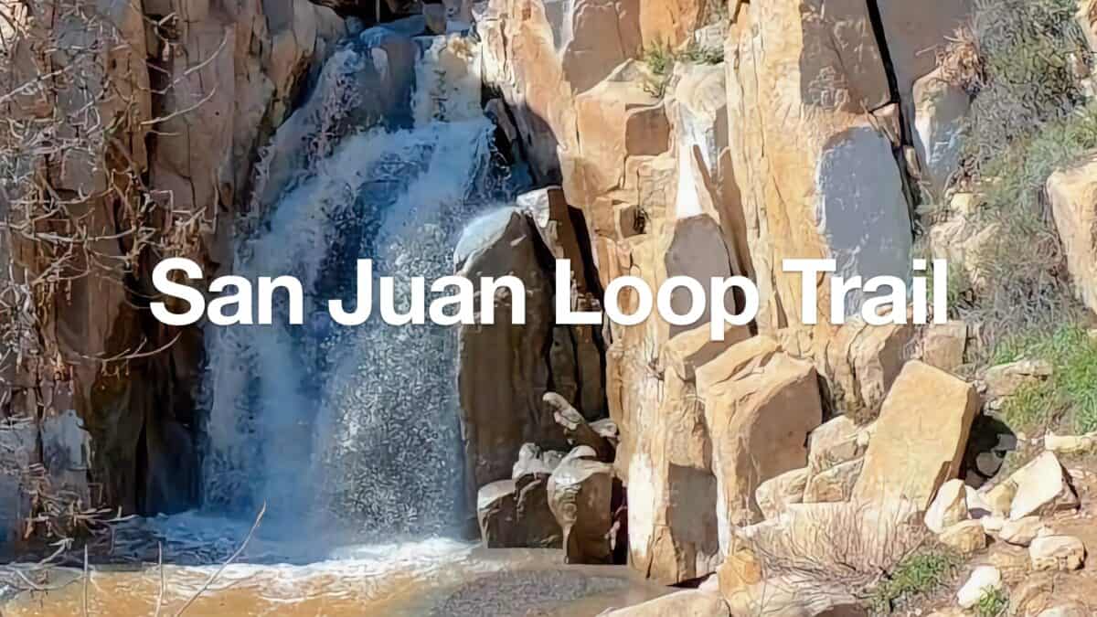 San Juan Loop Trail Guide (CA)
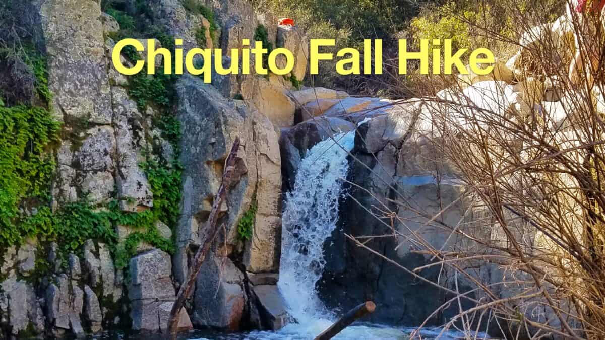 Hike the Chiquito Falls Trail
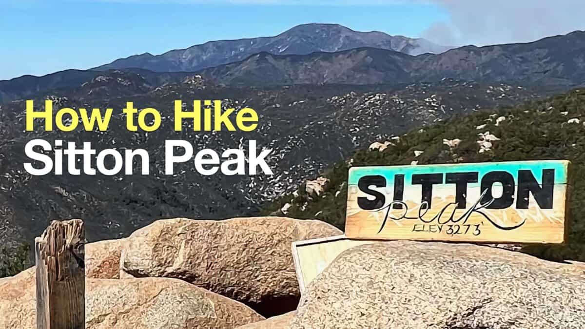 Sitton Peak Hike
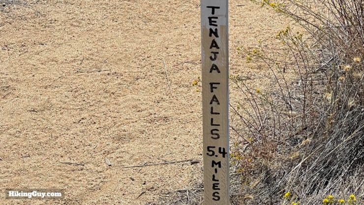
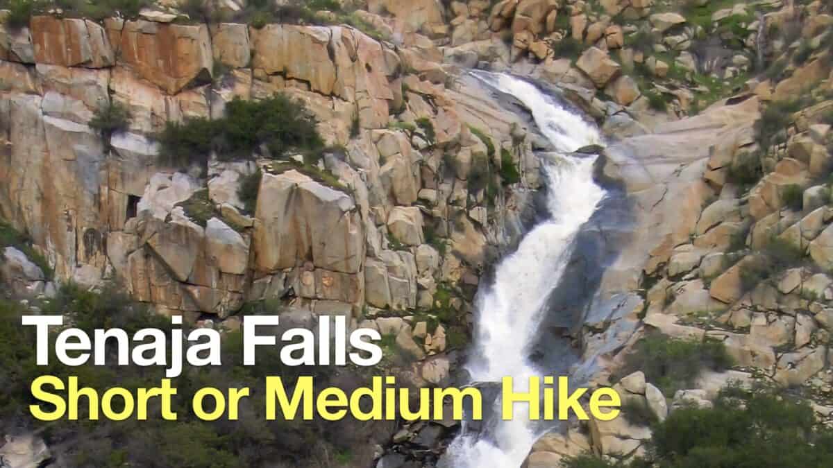 Tenaja Falls Trail Guide
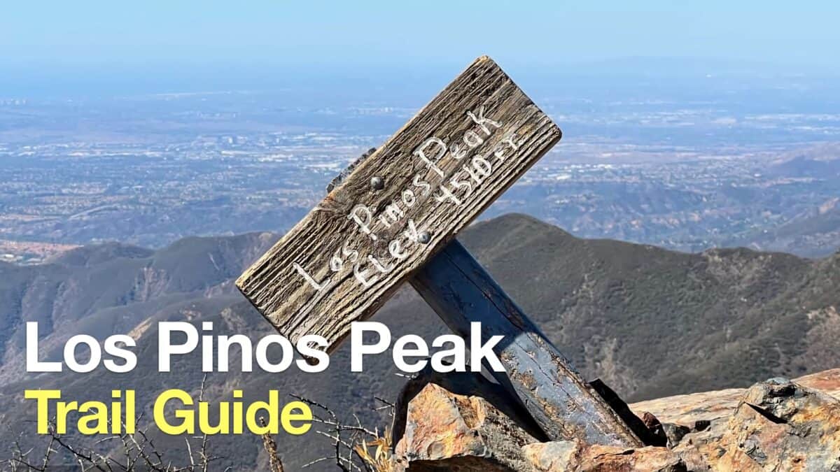 Hike Los Pinos Peak (Orange County)
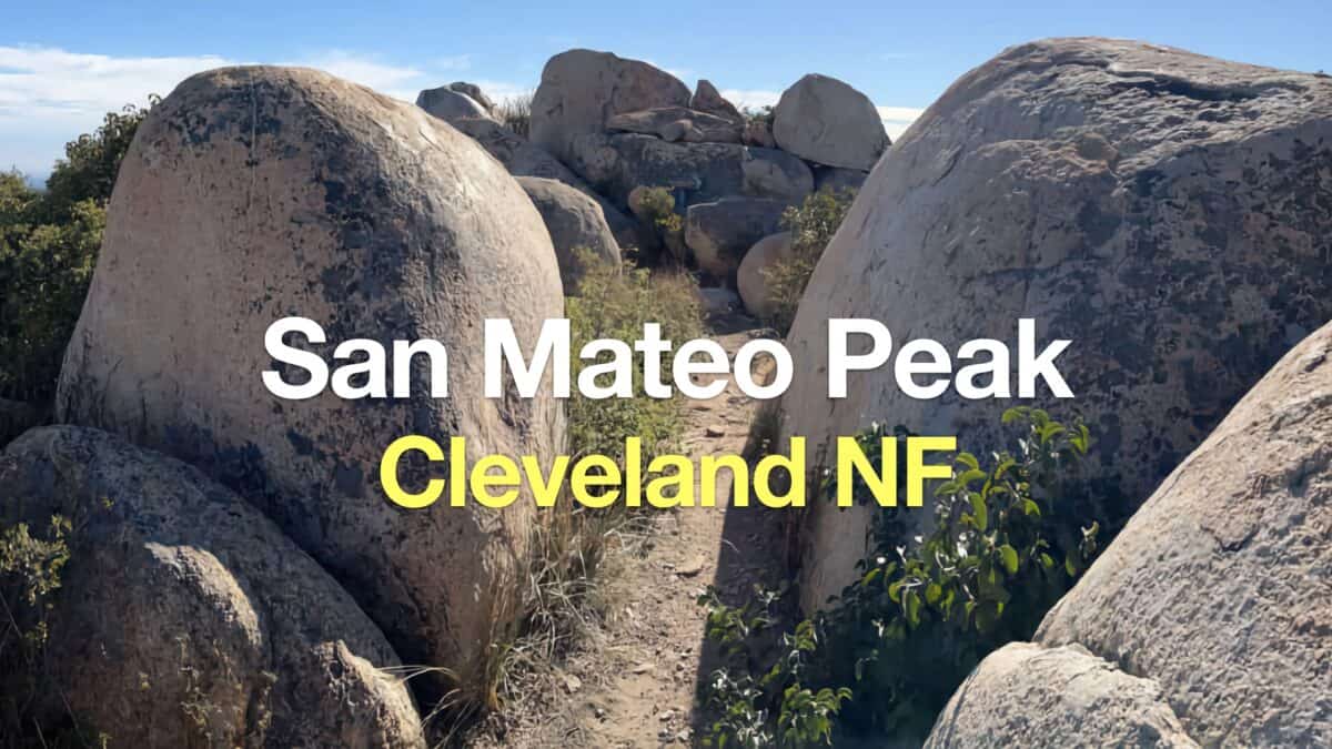 Hike San Mateo Peak (Cleveland National Forest)
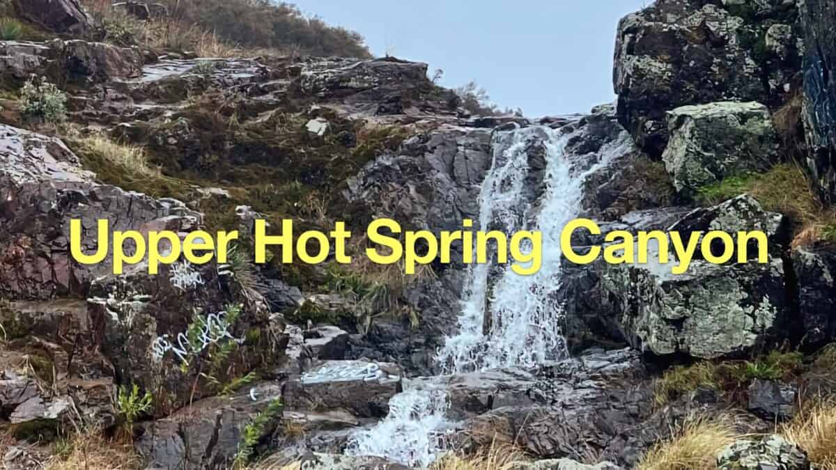 Upper Hot Spring Canyon Waterfall Hike
 Hikes In and Around Orange County
 Cleveland National Forest Hiking
 Hikes In and Around Riverside County
 San Mateo Canyon Wilderness Hikes
Popular Guides
 Best Hiking Gear 2024
 Hiking Boots or Shoes: Do I Really Need Hiking Boots?
 When to Hit SOS on inReach
This Guide Was Written by Cris Hazzard

Hi, I'm Cris Hazzard, aka Hiking Guy, a professional outdoors guide, hiking expert, and author based in Southern California. I created this website to share all the great hikes I do with everyone else out there. This site is different because it gives detailed directions that even the beginning hiker can follow. I also share what hiking gear works and doesn't so you don't waste money. I don't do sponsored or promoted content; I share only the gear recommendations, hikes, and tips that I would with my family and friends. If you like the website and YouTube channel, please support these free guides (I couldn't do it without folks like you!). You can stay up to date with my new guides by following me on YouTube, Instagram, or by subscribing to my monthly newsletter.