
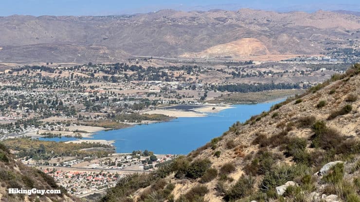
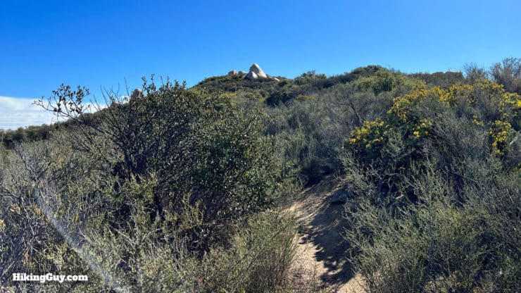
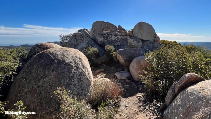
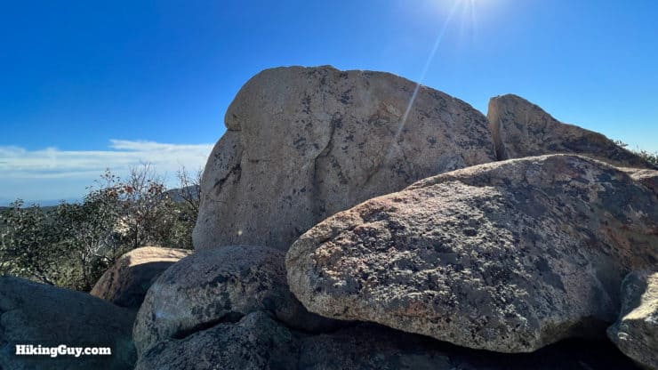
San Mateo Peak, a beautiful and fun hike with a fantastic summit and sweeping views, is not officially there. The trail is not on the Forest Service maps, and you won't find "San Mateo Peak" anywhere on an official topographic map. But the trail and peak are there all right, and in this guide, I'll show you how to hike to the top and enjoy this fun peak in Cleveland National Forest.
- Video and Turn-by-Turn Directions to Hike San Mateo Peak (Cleveland National Forest)
- Where to Park for San Mateo Peak
- Insider Tips and Recommendations
Where is San Mateo Peak?
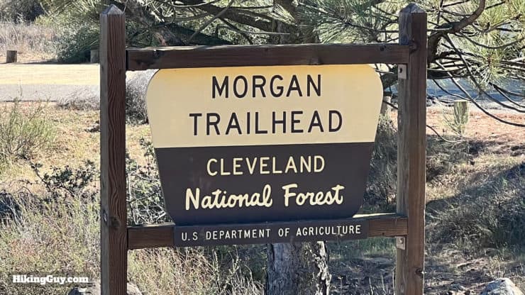
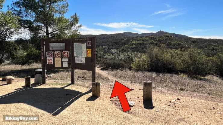
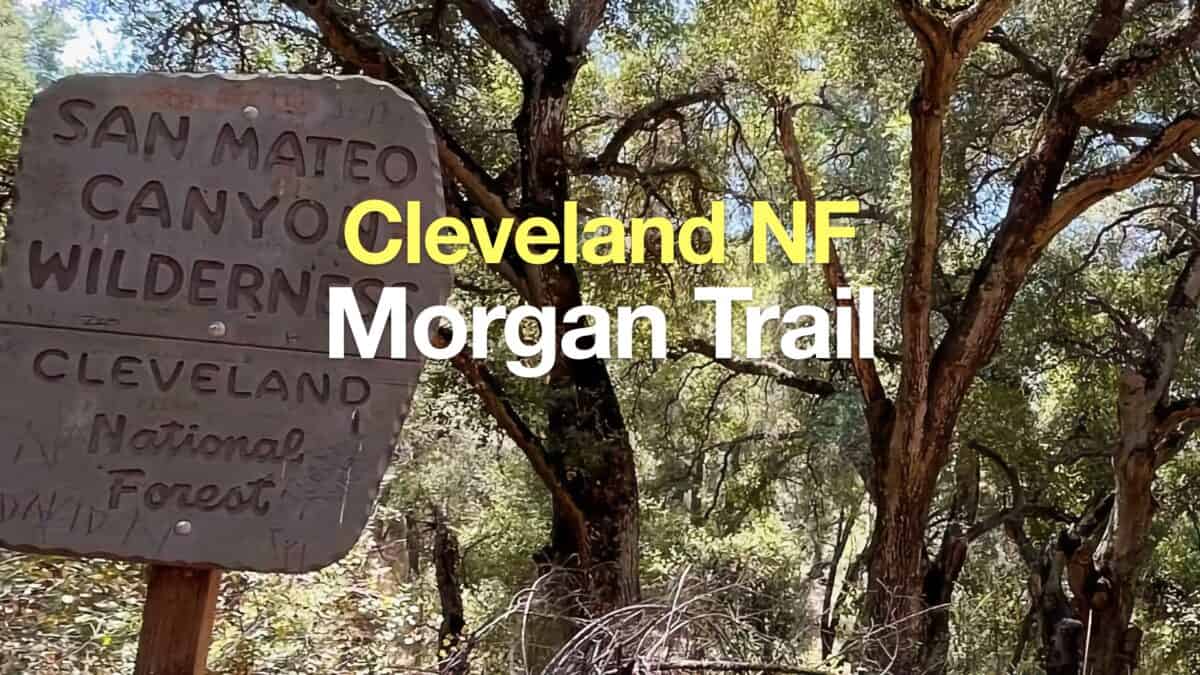
We're going to start at the Morgan Trail parking area off of South Main Divide Road for this hike. Note that South Main Divide Road is paved and not a dirt road like North Main Divide Road. Use this trailhead address:
Morgan Trailhead, South Main Divide, Decker Canyon Rd, Lake Elsinore, CA 92530
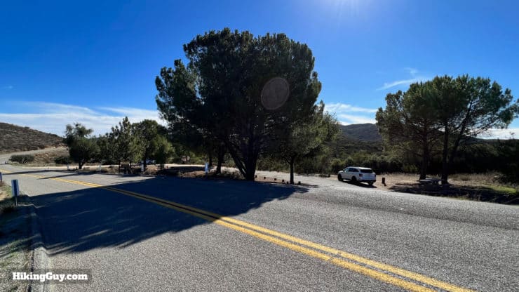
You do not need a permit to park here, and there are no facilities.
Gear For the Hike
This is a backcountry hike, but its short distance means that you can get away with fitness clothes here. I wear light hiking gear. In the summer it can get brutally hot, so bring at least 1L of water. There are a few sections of steep slopes where trekking poles will help.
Gear That I Love Right Now
Nothing is sponsored or promoted, just the actual gear that I use.


Check out the complete list here. ( Updated July 2024)
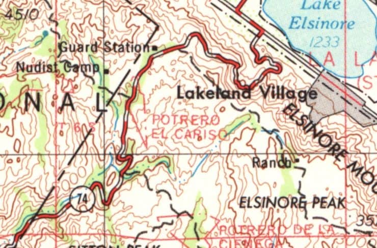
San Mateo Peak Trail Maps
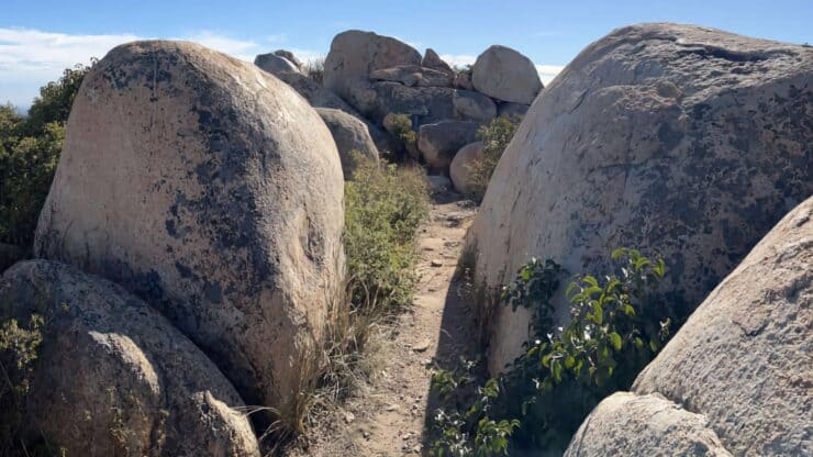
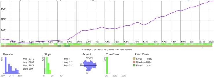
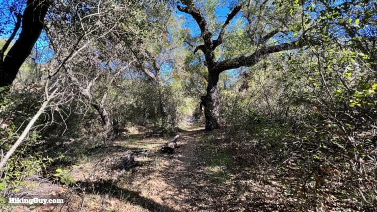
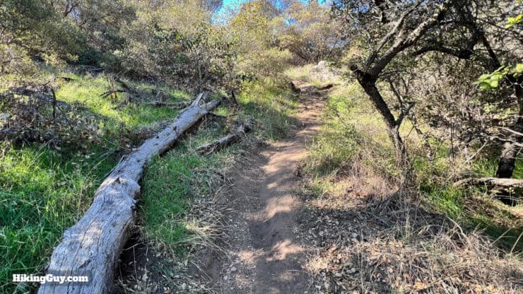
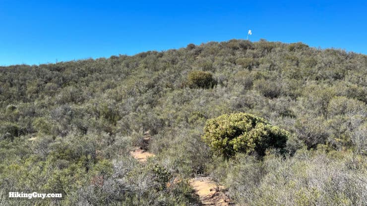
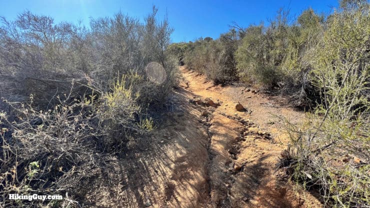
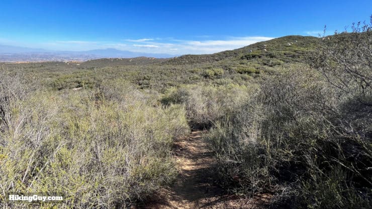
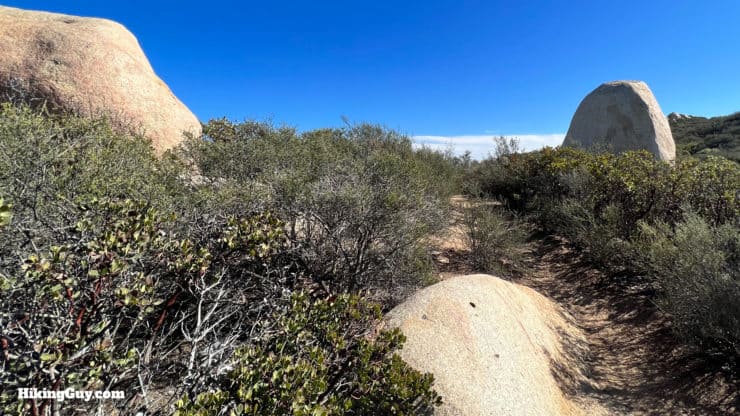
Overall the trail is easy to follow, but can get a little overgrown. The beginning is rolling and then you have about 900 feet of climbing. There are steep sections, but overall it's nothing like a big mountain hike.
How Will You Navigate?
 Using the Apple Watch for Hiking
 Garmin Fenix 7 & Epix Review For Hikers
 How To Read a Topographic Map
 Garmin GPSMAP 67i Review
Elevation Profile
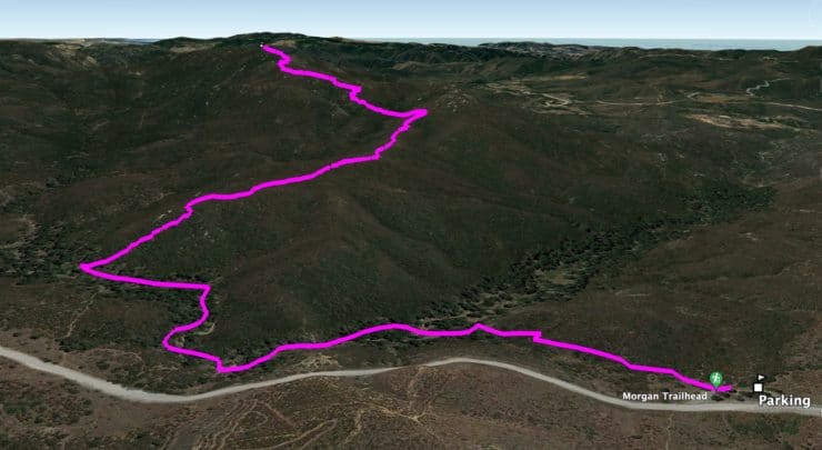
3D Map
Alternate 15-Mile Hike
If you want a longer hike, you can easily combine this stretch of trail with the full length of the Morgan Trail for a distance of about 15 miles. Start at the Candy Store, hike up the Morgan Trail, and then pick these directions up at the wilderness sign-in box (see the directions below). You're going to want to also read my guide to the Morgan Trail and follow the directions there (don't use this trailhead).
Hike Brief
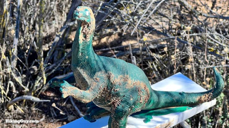
Why all the mystery around this trail and peak? Will I see any nudists spilling out of the camp on this trail? So many questions...
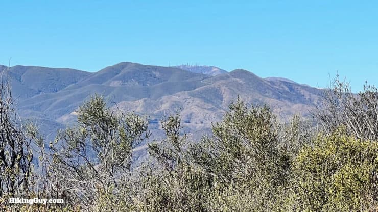
- Before 1984, San Mateo Peak was just another bump in the Elsinore Mountains, albeit one higher than Elsinore Peak (now covered in antennas and a short walk up a dirt road).
- In the 1960s a guy named Ken Croker entered the scene. He found the old trails in the Santa Anas built by the CCC in the 1930s, and with the help of the Sierra Club, restored them.
- He's also the force behind creating the San Mateo Canyon Wilderness, known as "the wildest part of the Santa Anas." The Forest Service opposed the creation of the area, because it meant more work in managing the land. If you're not familiar with what's special about a Wilderness Area, I recommend watching this quick video.
I had to use my vacation time from work to testify. The Forest Service officially fought it tooth and nail. They did not want to see another wilderness area established by Congress because it causes them special headaches, from a management standpoint. But a lot of the lower-level Forest Service people said, ‘Go get ‘em. That’s a fantastic area. That ought to be a wilderness.’Ken Croker to the LA Times
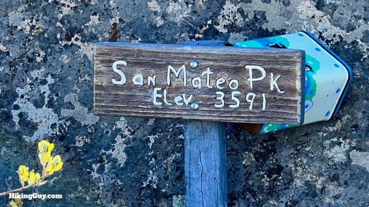
- There is no official "San Mateo Peak," although it is the highest point in the San Mateo Canyon Wilderness. And although you will see an elevation posted here on some versions of the USGS topographic map, there is no survey benchmark at the summit.
- Today the Sierra Club maintains this trail along with all the others in the area. You can help them by volunteering.
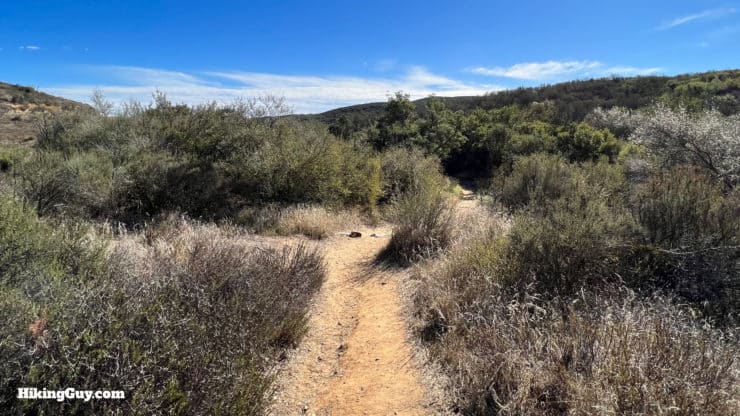
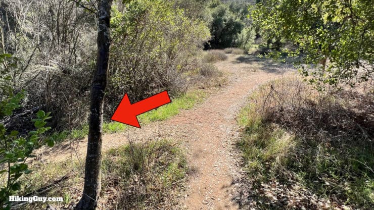
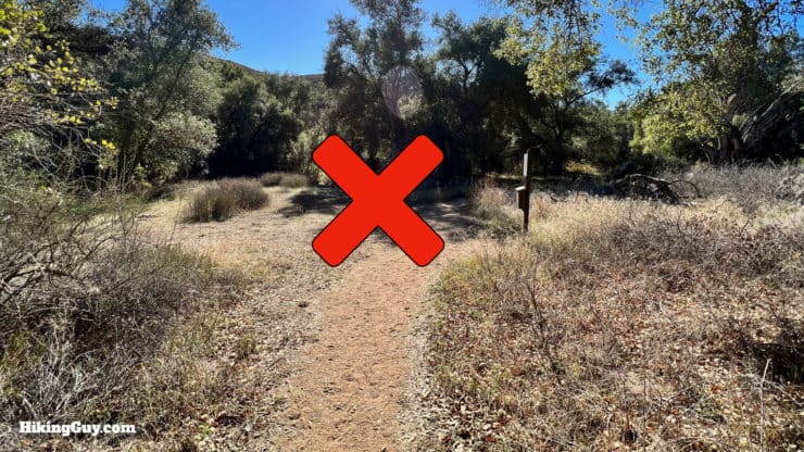
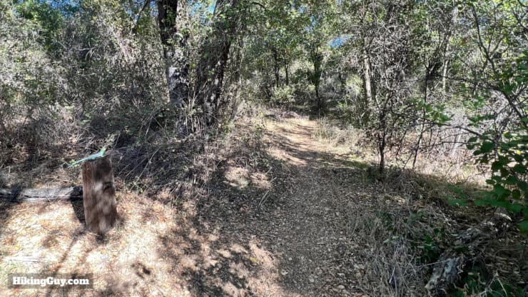
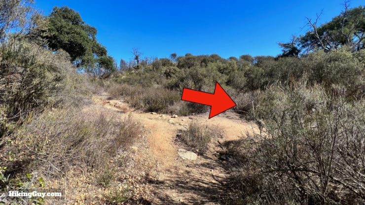
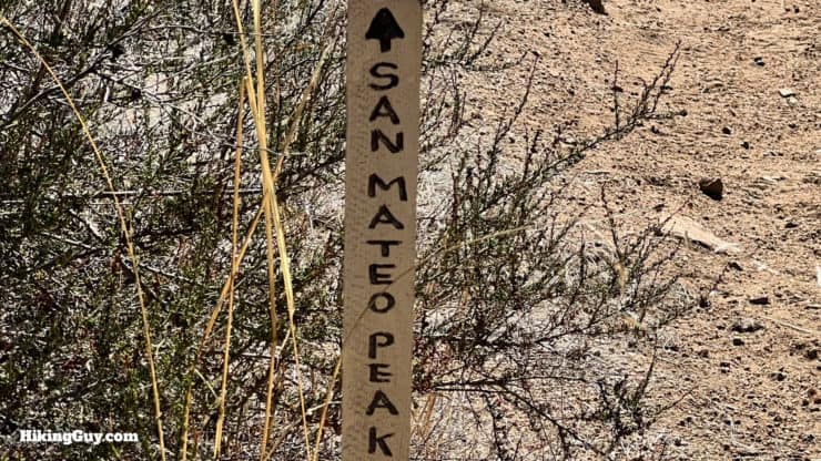
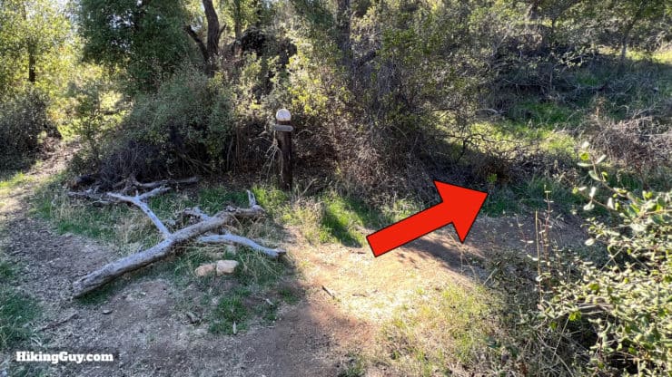
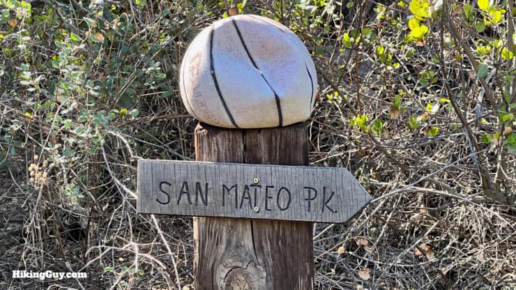
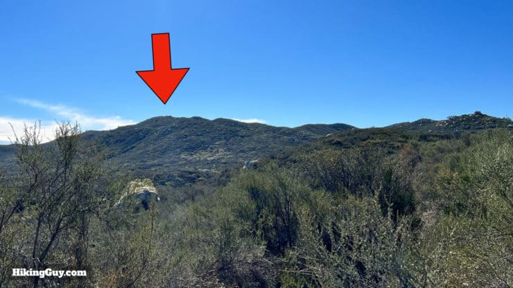
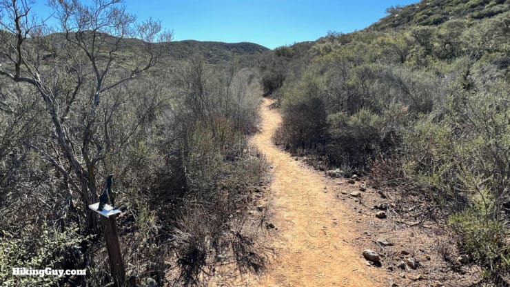
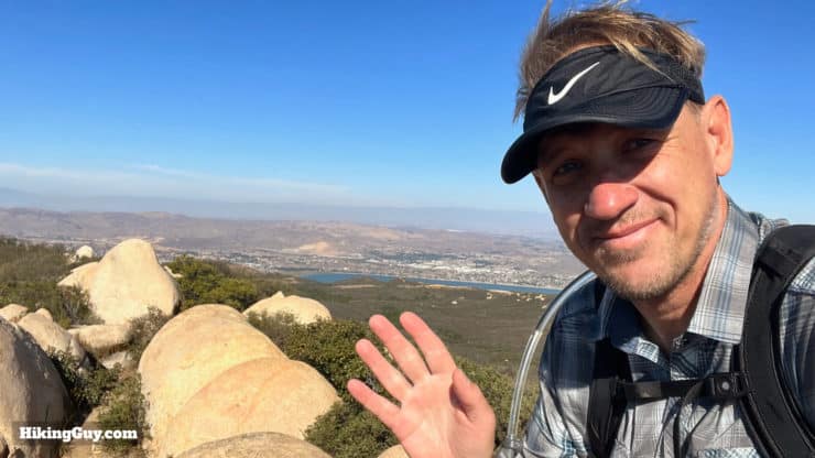
San Mateo Peak Hike Directions
Although this trail skirts in and out of the San Mateo Canyon Wilderness, I do recommend signing the trail register here, which helps the Forest Service understand trail traffic and (hopefully?) get more funding for trails.
Need More Info?
- Have a question about the guide? Join my Patreon and ask me a question.
- When planning, always check the park website and social media to make sure the trails are open. Similarly, check the weather and road conditions.
- Do you have an update to this guide? View the Youtube comments for this video. Leave a comment and I will do my best to update the guide.
Related Guides
 Morgan Trail Hike (Cleveland National Forest)
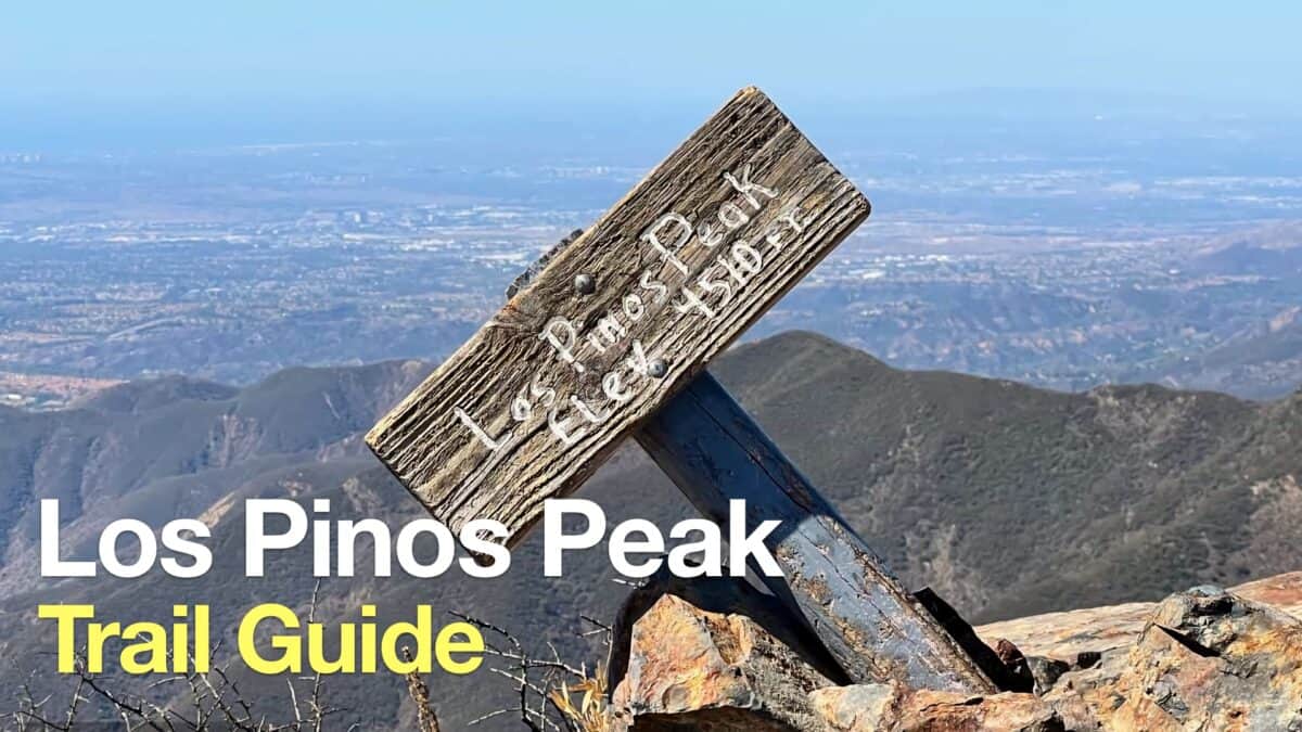 Hike Los Pinos Peak (Orange County)
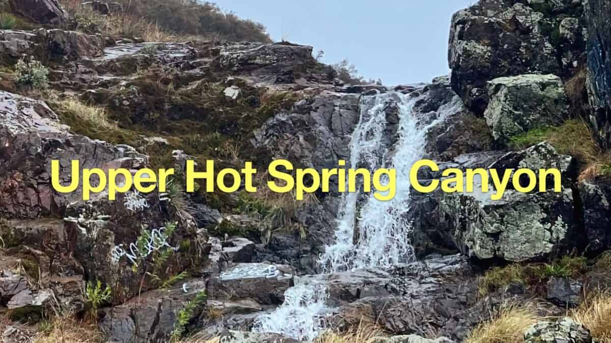 Upper Hot Spring Canyon Waterfall Hike
 Hikes In and Around Orange County
 Cleveland National Forest Hiking
 Hikes In and Around Riverside County
 San Mateo Canyon Wilderness Hikes
Popular Guides
 Best Hiking Gear 2024
 Hiking Boots or Shoes: Do I Really Need Hiking Boots?
 When to Hit SOS on inReach
This Guide Was Written by Cris Hazzard

Hi, I'm Cris Hazzard, aka Hiking Guy, a professional outdoors guide, hiking expert, and author based in Southern California. I created this website to share all the great hikes I do with everyone else out there. This site is different because it gives detailed directions that even the beginning hiker can follow. I also share what hiking gear works and doesn't so you don't waste money. I don't do sponsored or promoted content; I share only the gear recommendations, hikes, and tips that I would with my family and friends. If you like the website and YouTube channel, please support these free guides (I couldn't do it without folks like you!). You can stay up to date with my new guides by following me on YouTube, Instagram, or by subscribing to my monthly newsletter.