
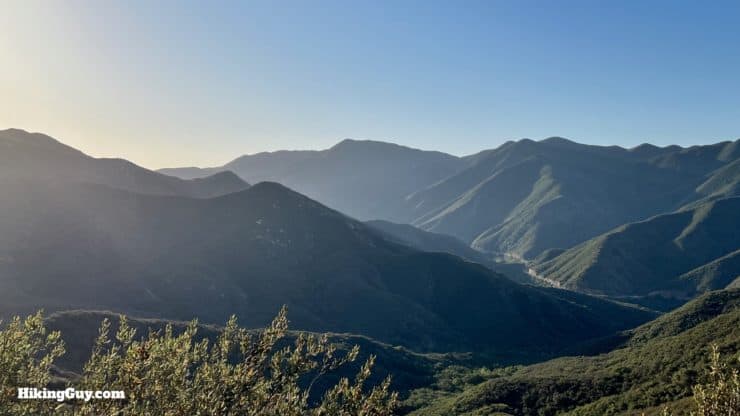
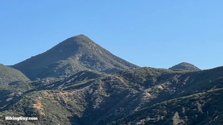
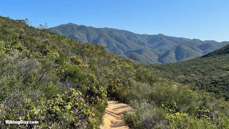
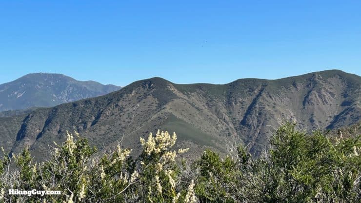
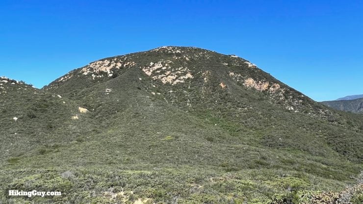
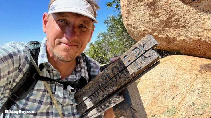
Yes, more Sugarloaf Peaks. We have a pair of them this time, and they're in Cleveland National Forest. This challenging route on the popular San Juan Trail, once a native path traversing the Santa Anas, brings you to Old Sugarloaf and (new) Sugarloaf, which you can bag and enjoy some great views in the process. It's a challenging hike into a remote section of this rugged and underrated area.
- Video and Turn-by-Turn Directions for the San Juan Trail to the Sugarloaf Peaks
- Where to Park for the Hike
- Insider Tips and Recomendations
Where is the San Juan Trail?
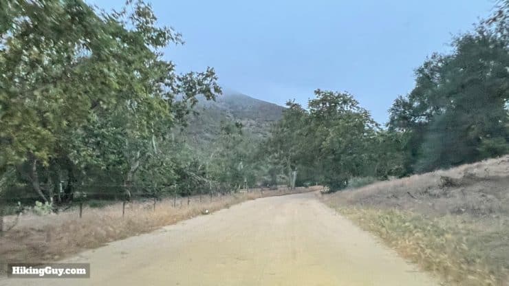
The hike starts at the western terminus of the San Juan Trails, at the Hotsprings Trailhead. Use this trailhead address:
Hotsprings Trailhead, Hot Spring Canyon Rd, Lake Elsinore, CA 92530
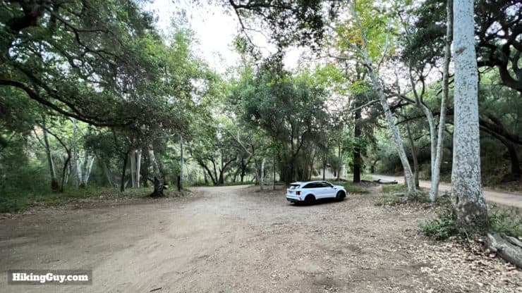
You need a National Parks Pass or Adventure Pass to park here.
Gear For the Hike
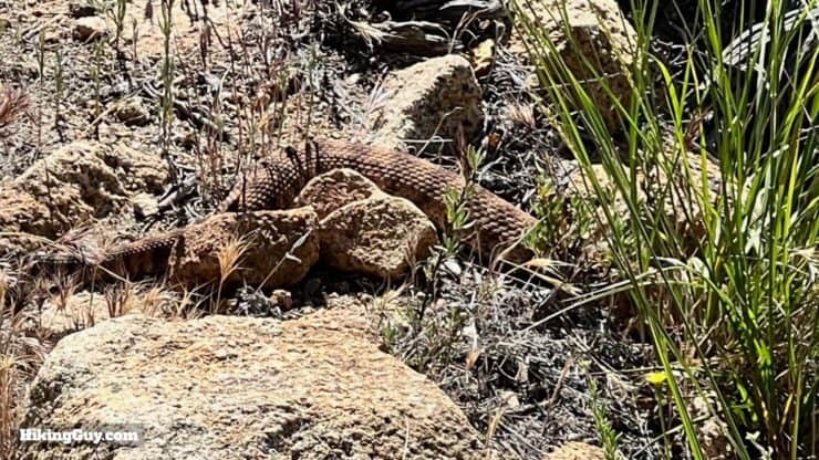
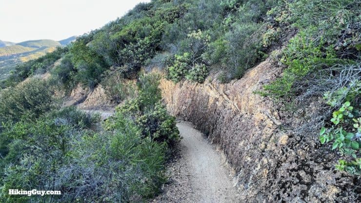
This is an exposed and tough climb, typical of the Santa Anas. The best time to do this is when temperatures are cooler, and even then, I bring 3L of water. You'll also want some insect repellant. The final climb to both peaks is overgrown and steep. The smart move is long pants, long sleeves, and a trekking pole. On the day I created this guide, I had short sleeves and shorts on and got moderately scratched up, but nothing too serious.
Gear That I Love Right Now
Nothing is sponsored or promoted, just the actual gear that I use.


Check out the complete list here. ( Updated July 2024)
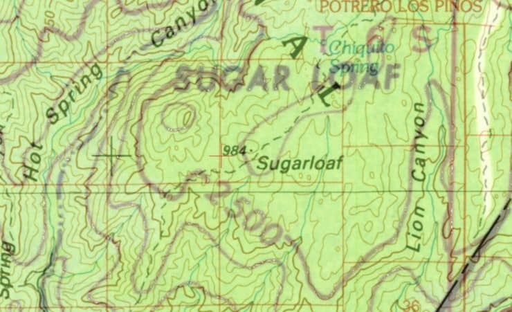
Sugarloaf Peaks Trail Maps
How Will You Navigate?
 Using the Apple Watch for Hiking
 Garmin Fenix 7 & Epix Review For Hikers
 How To Read a Topographic Map
 Garmin GPSMAP 67i Review
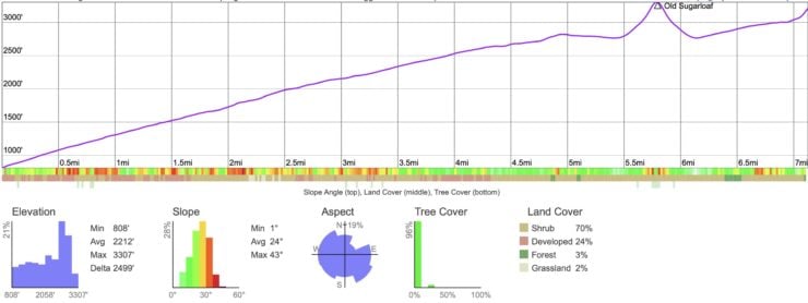
Elevation Profile
3D Map
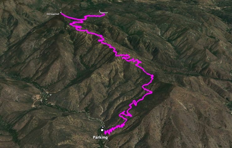
Hike Brief
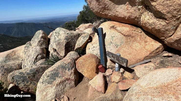
- There are 19 other "Sugarloaf" mountains in California, including the popular one near Big Bear. There's also a Sugarloaf by Mt Baldy that you can scramble up. Peakbagger lists 100 officially named "Sugarloaf" peaks around the world.
- Pleasants Peak, north of Santiago Peak, was also called Sugarloaf. But in 1933 the fire lookout on Santiago Peak (there used to be a fire tower there) suggested that the peak be named after J.C. Pleasant, a pioneer who lived in the mountains since 1860, to avoid confusion. And so it was.
- The 11.6 mile San Juan Trail is one of the most popular mountain bike descent trails in Southern California. Although it is ridden in both directions, the typical way to ride it is by shuttling to the top by Blue Jay Campground, and then riding all 11.6 downhill, The trail can be narrow, but I've never had a problem stepping to the side when bikes come by.
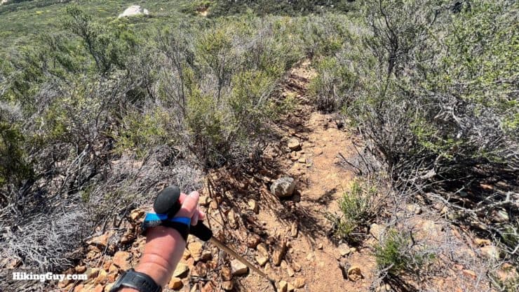
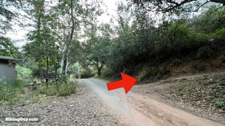
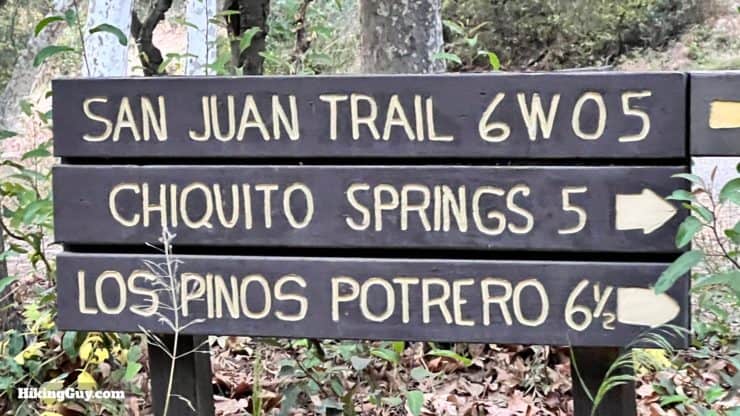
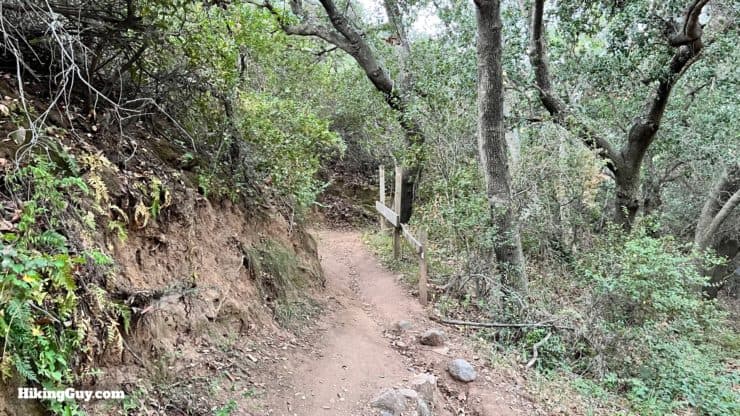
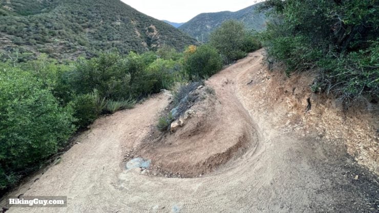
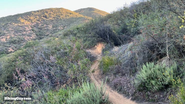
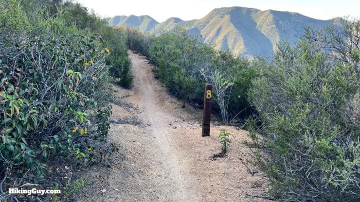
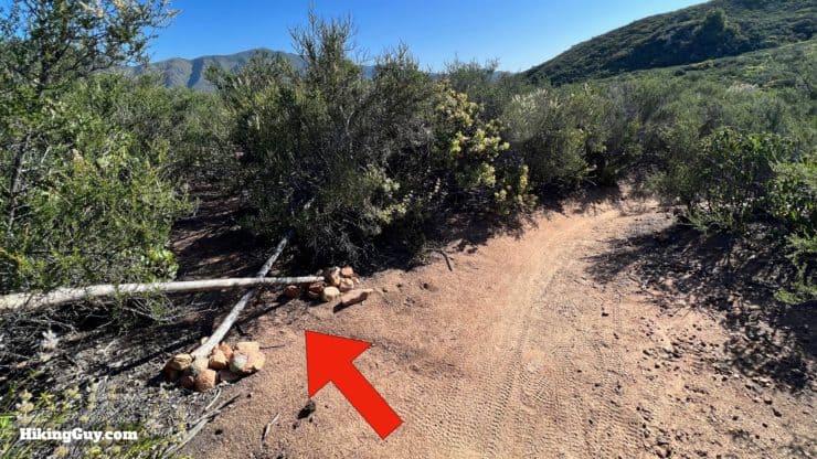
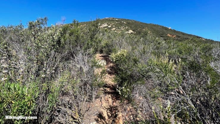
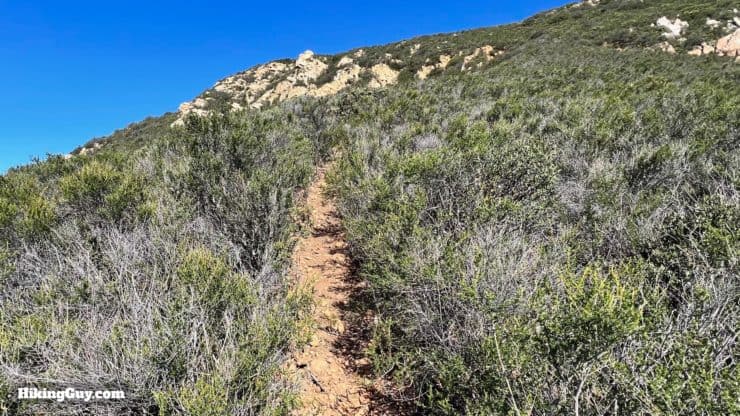
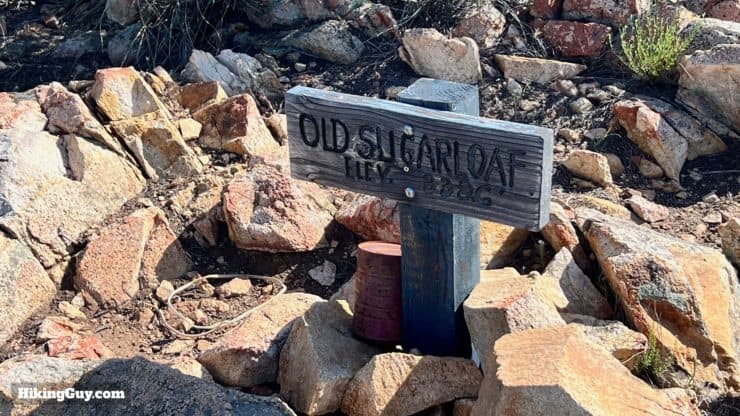
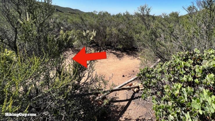
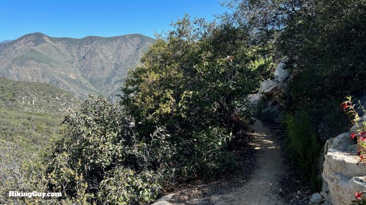
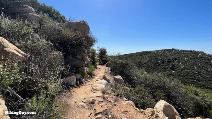
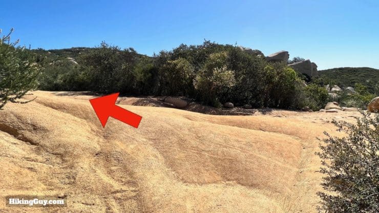
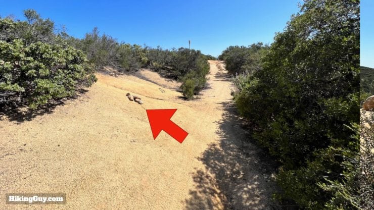
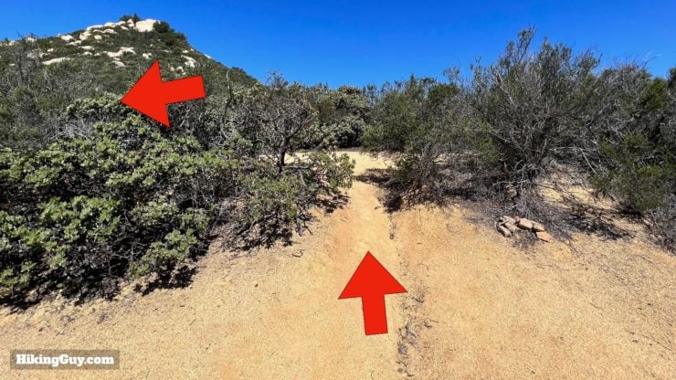
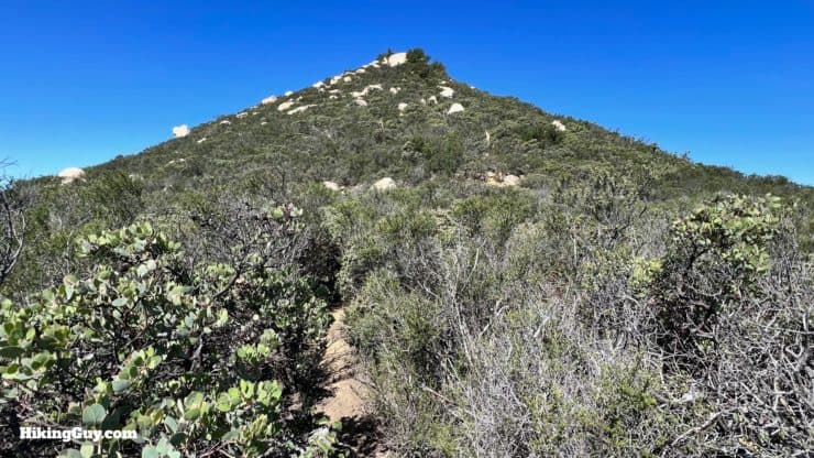
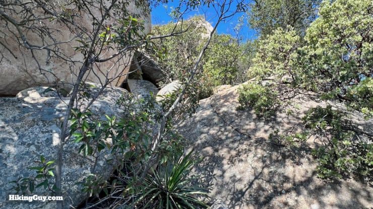
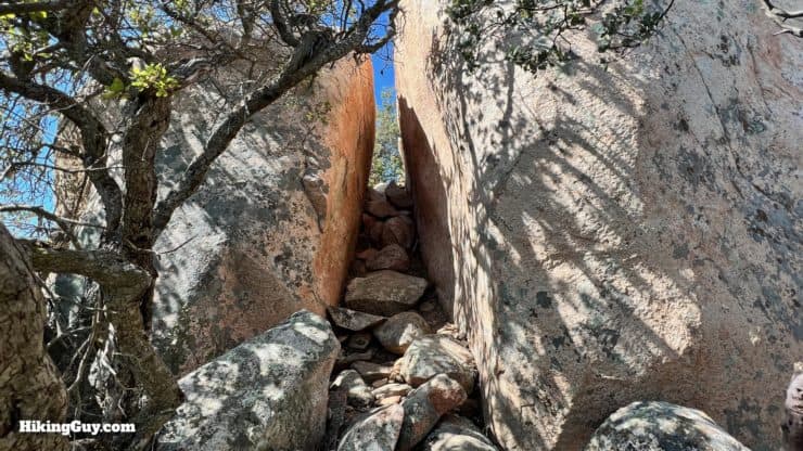
San Juan to Sugarloafs Hike Directions
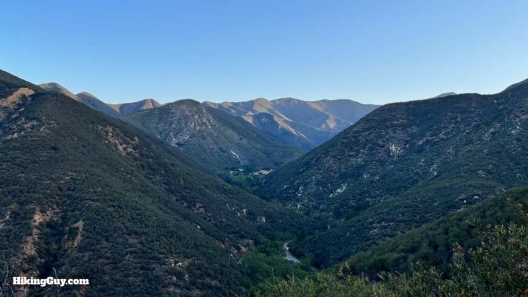
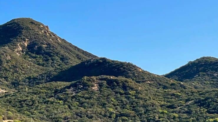
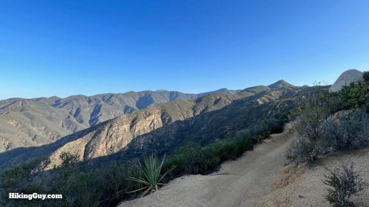
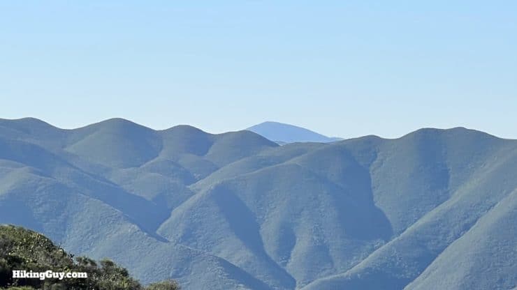
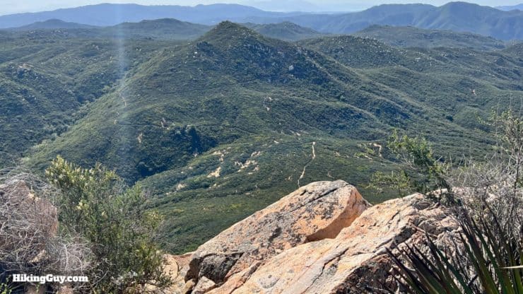
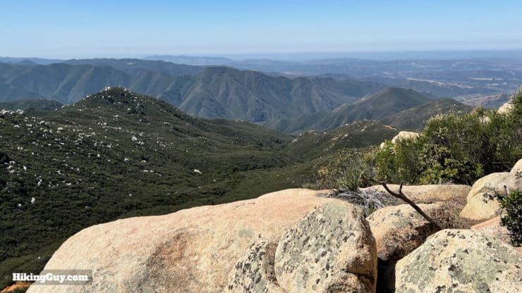
If you're really up for a challenge, try the Los Pinos Trail, which runs along the ridge in the distance of the previous image. Unfortunately, it's very overgrown and you need to call ahead and get permission to park at the trailhead from the Lazy W Ranch. I did it years ago and it kicked my butt. If the trail condition improves, I'll do a guide. It's not for the faint of heart. Alltrails route here if you're interested.
Need More Info?
- Have a question about the guide? Join my Patreon and ask me a question.
- When planning, always check the park website and social media to make sure the trails are open. Similarly, check the weather and road conditions.
- Do you have an update to this guide? View the Youtube comments for this video. Leave a comment and I will do my best to update the guide.
Related Guides
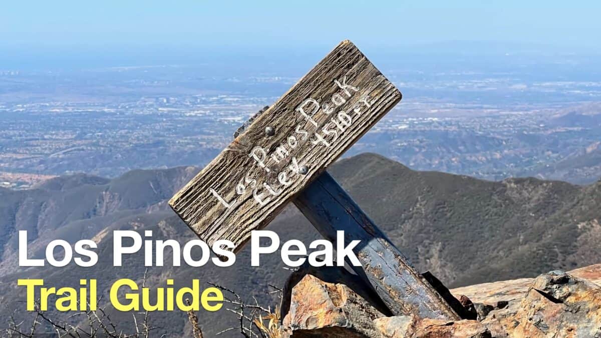 Hike Los Pinos Peak (Orange County)
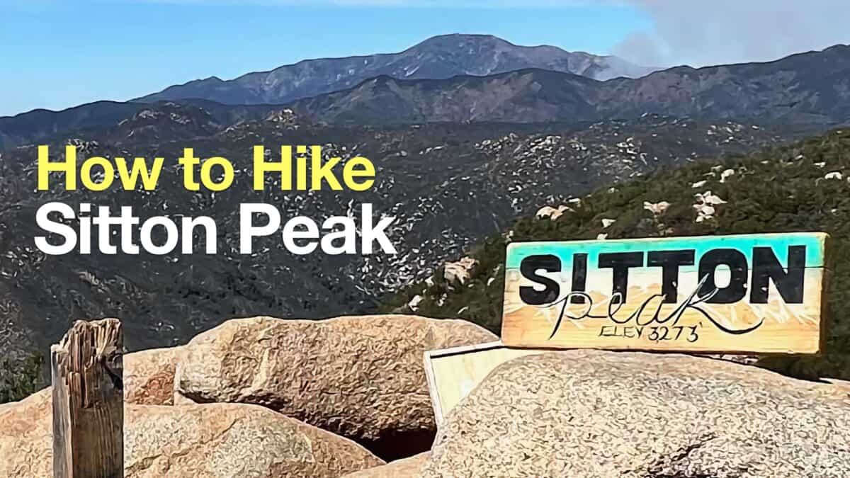 Sitton Peak Hike
 Hikes In and Around Orange County
 Cleveland National Forest Hiking
Popular Guides
 Best Hiking Gear 2024
 Hiking Boots or Shoes: Do I Really Need Hiking Boots?
 When to Hit SOS on inReach
This Guide Was Written by Cris Hazzard

Hi, I'm Cris Hazzard, aka Hiking Guy, a professional outdoors guide, hiking expert, and author based in Southern California. I created this website to share all the great hikes I do with everyone else out there. This site is different because it gives detailed directions that even the beginning hiker can follow. I also share what hiking gear works and doesn't so you don't waste money. I don't do sponsored or promoted content; I share only the gear recommendations, hikes, and tips that I would with my family and friends. If you like the website and YouTube channel, please support these free guides (I couldn't do it without folks like you!). You can stay up to date with my new guides by following me on YouTube, Instagram, or by subscribing to my monthly newsletter.