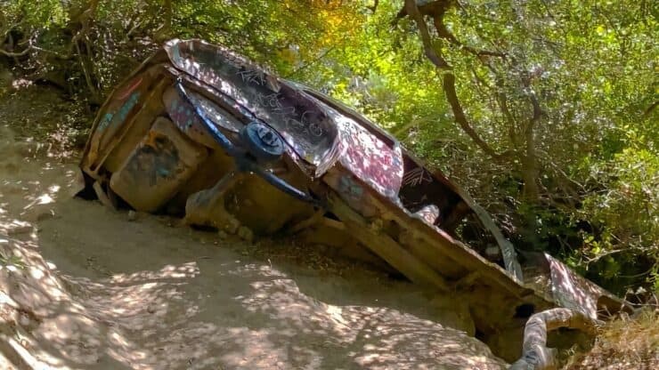

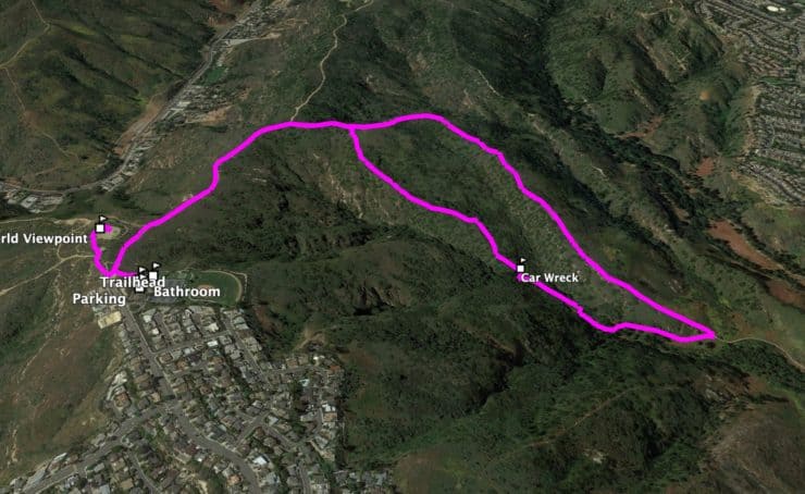
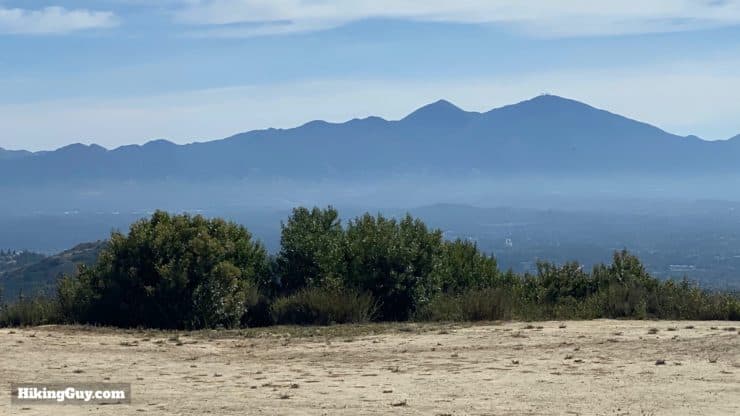
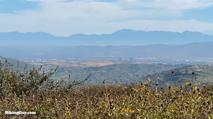
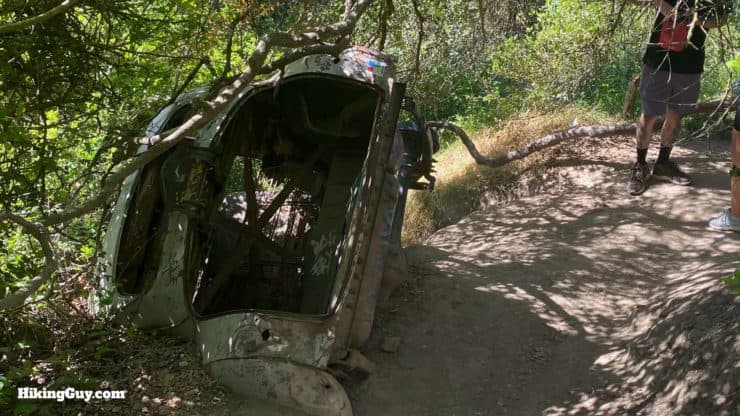
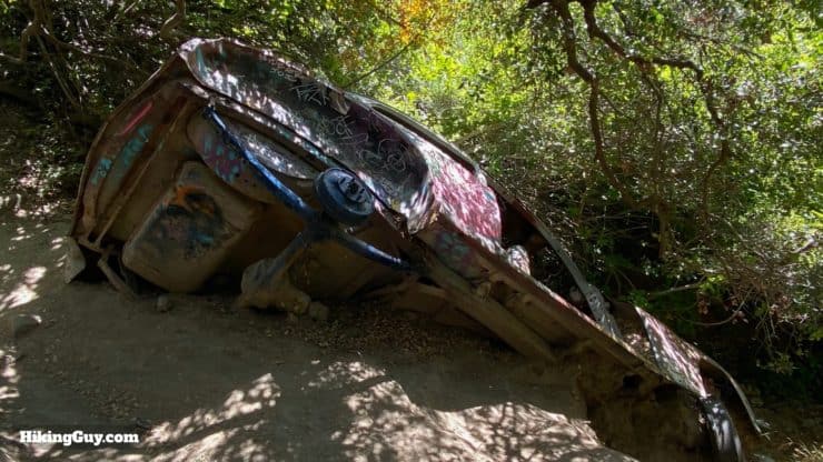
Hidden in the hills high above Laguna Beach, far away from any road, lies the fabled "car wreck," 1946 Dodge 5-passenger coupe. Visiting the car wreck became so popular that Aliso and Wood Canyons Wilderness Park officially made a trail to it in 2013. Today it's a fun hike, offering not only a cool vintage car wreck but also expansive views from Catalina to Mt Baldy. This guide has a 3.8 mile loop that makes the climbing a little easier, or you can do a shorter hike to the car wreck and back.
- Video & Turn by Turn Hike Directions
- How to Get to the Car Wreck Trail
- Everything You Need to Know To Prepare for the Hike
Where is the Car Wreck Trail?
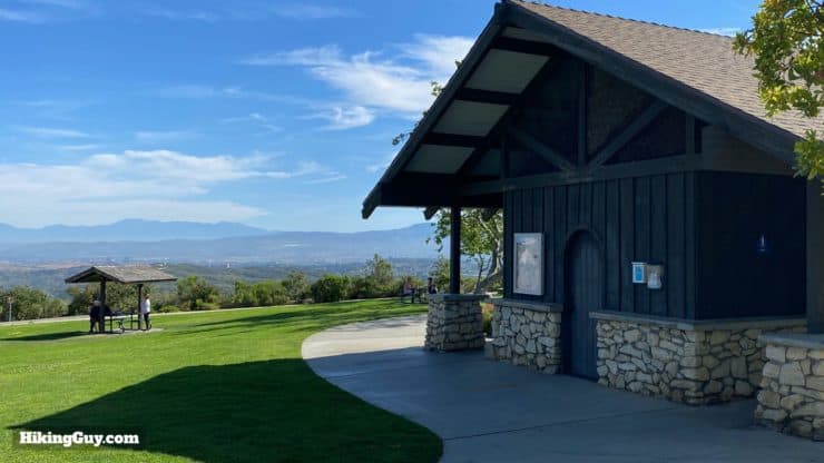
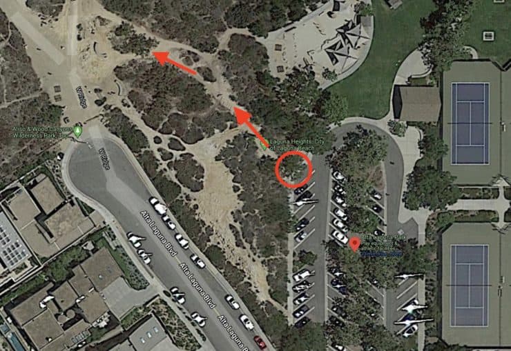
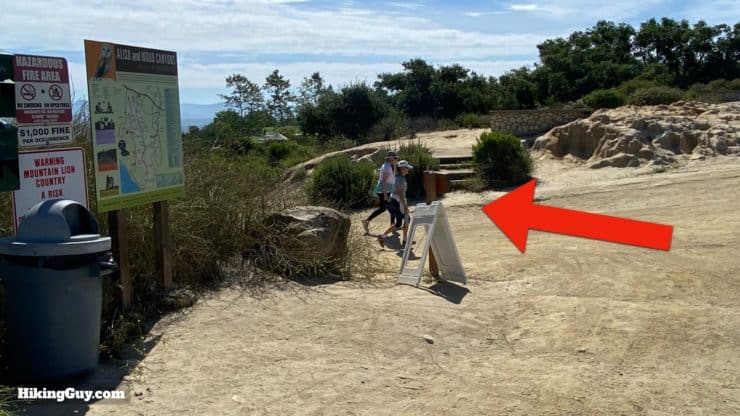
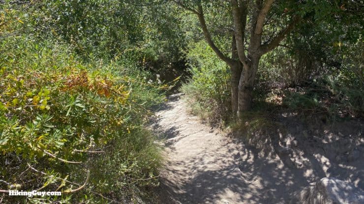
The hike to the Car Wreck Trail starts in Alta Laguna Park, about 1,000 feet above the ocean at Laguna Beach. From the parking area at Alta Laguna Park, you hike into Aliso and Wood Canyons Wilderness Park and then to the car wreck.
Use this trailhead address:
Alta Laguna Park, 3299 Alta Laguna Blvd, Laguna Beach, CA 92651

Gear for the Hike
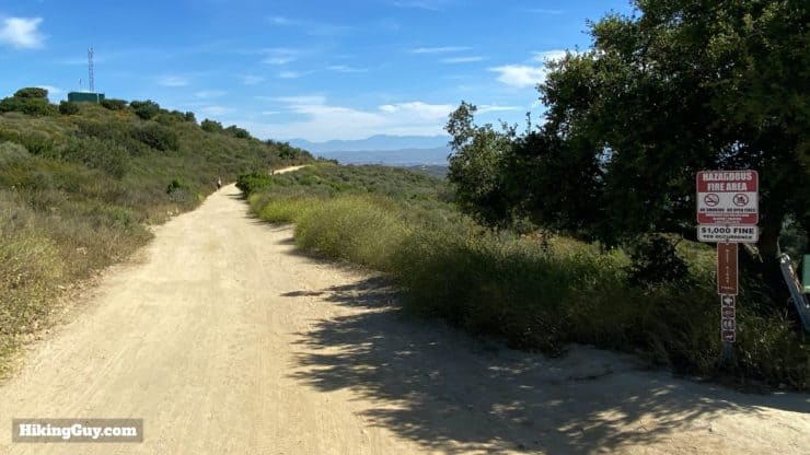
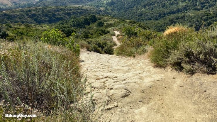
The trails are rather steep, and there is virtually no shade, so it helps to bring the right gear. I recommend good hiking shoes or boots, at least 1L of water, sun protection, and trekking poles if you have them. If you don't have proper hiking gear, you can certainly get away with fitness clothing, but don't forget the water. Leave at sunrise before it gets too hot and crowded for the best experience.
Gear That I Love Right Now
Nothing is sponsored or promoted, just the actual gear that I use.


Check out the complete list here. ( Updated July 2024)
Car Wreck Trail Maps
How Will You Navigate?
 Using the Apple Watch for Hiking
 Garmin Fenix 7 & Epix Review For Hikers
 How To Read a Topographic Map
 Garmin GPSMAP 67i Review
Elevation Profile
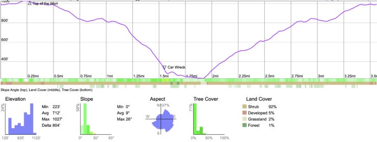
3d Map
Hike Brief

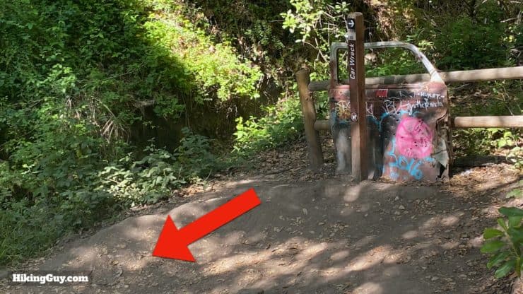
- The car wreck is a 1946 Dodge 5-passenger coup. In 1946 they sold for between $1,200-1,700, depending on how fancy you went. Innovations on this 1946 model include electric wipers and replaceable oil filters.
- How did the car get here, in the middle on nowhere? There's no official answer, but it's speculated by local historians that it ended up here in the 1960s. At the time, the dirt roads in the hills around Laguna Beach were popular spots for pop-up hippy concerts and hangouts. The likely scenario is that this Dodge was in the hills then and got washed down into the canyon during one of the bigger flash floods caused by heavy rains. That's the theory, but no one really knows for sure.
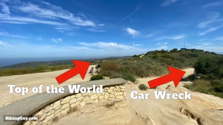
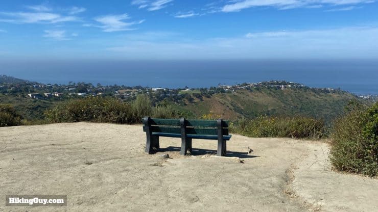
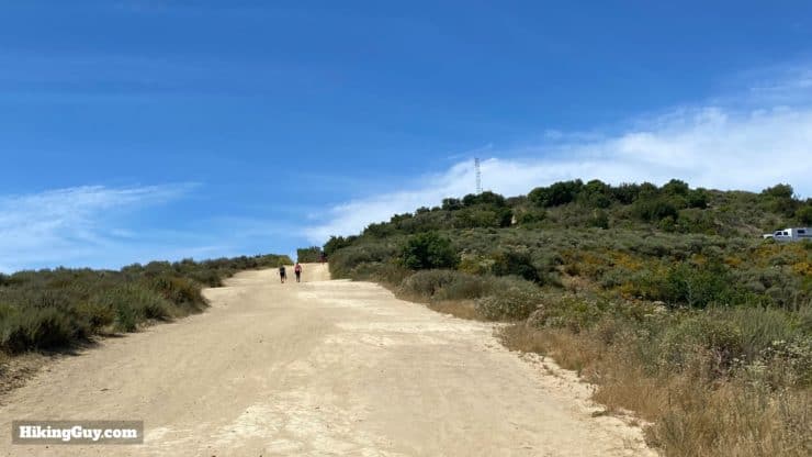
- The hike makes a stop at the scenic "Top of the World," a high point in the area that actually sits on top of a buried reservoir. So it's more of a "Top of the Reservoir." The 3 million gallon tank, built in 1996, is gravity fed and acts as a water supply to fight fires.
- The "Top of the World" hill lined up nicely with the takeoff path from the (now closed) Marine Corps Air Station El Toro, and planes have crashed here over the years. Some remains of aircraft used to be visible if you really looked, but I believe the park has removed them now.
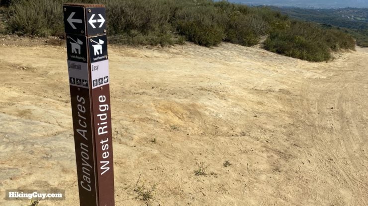
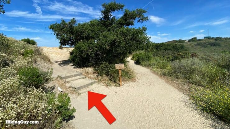
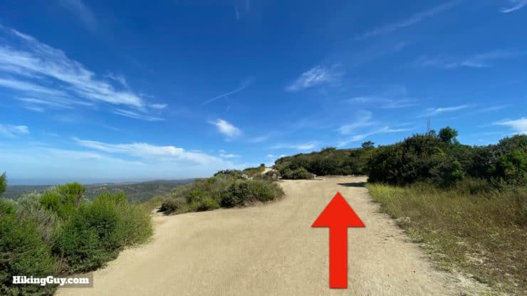
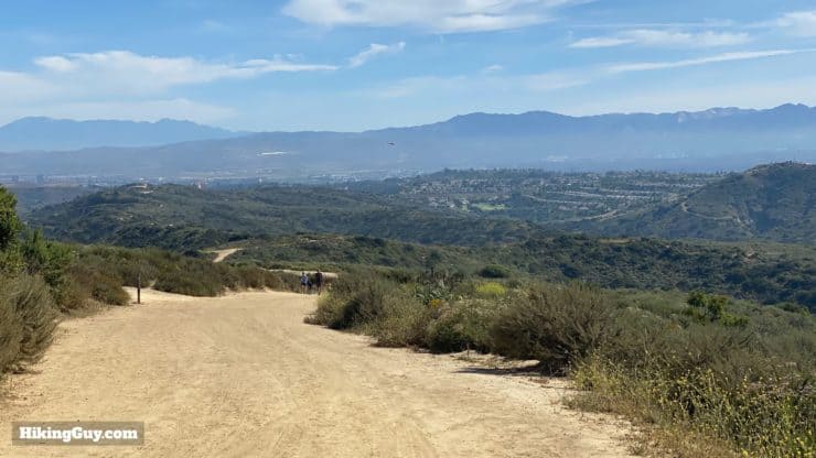
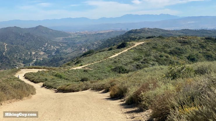
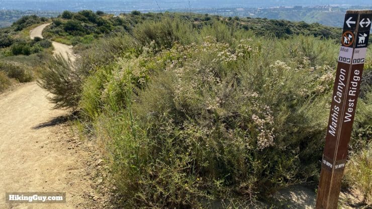
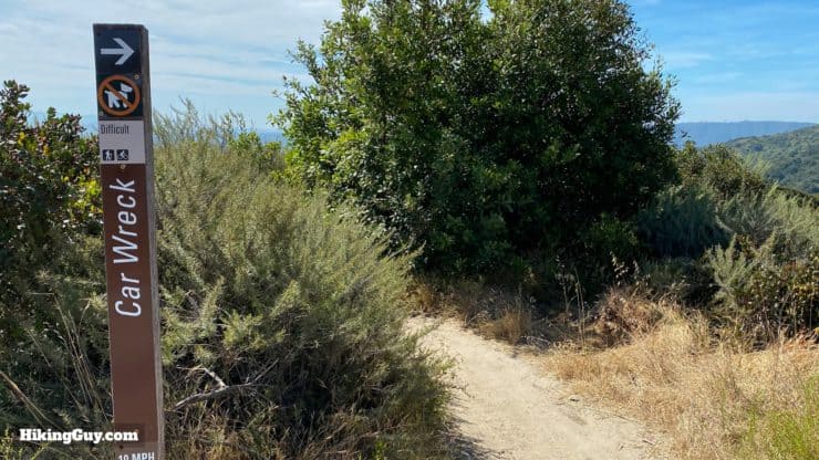
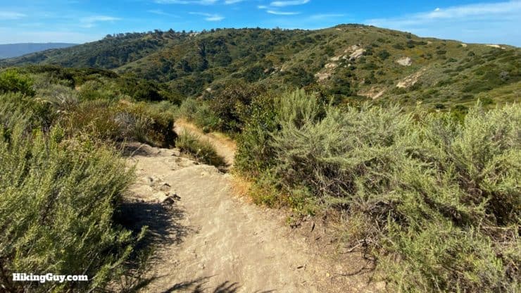
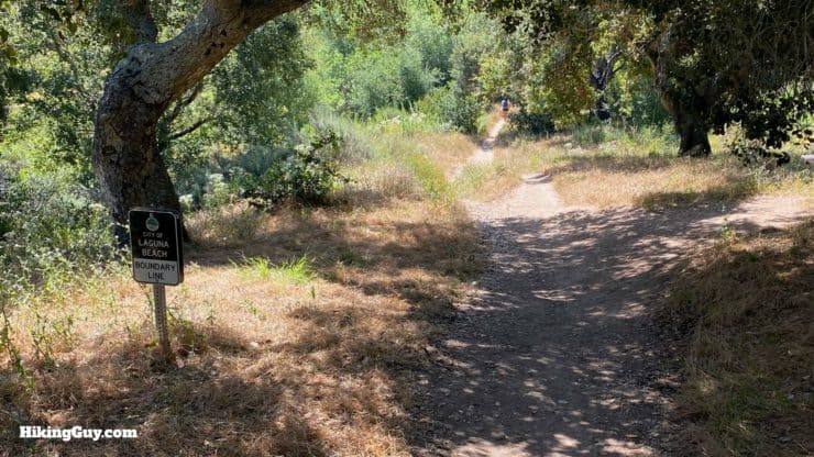
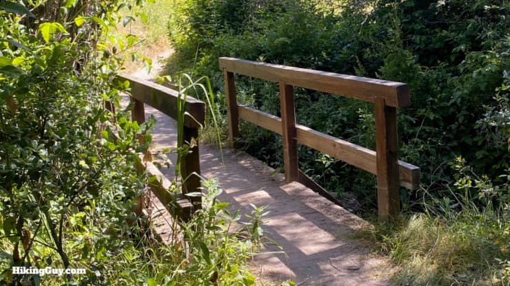
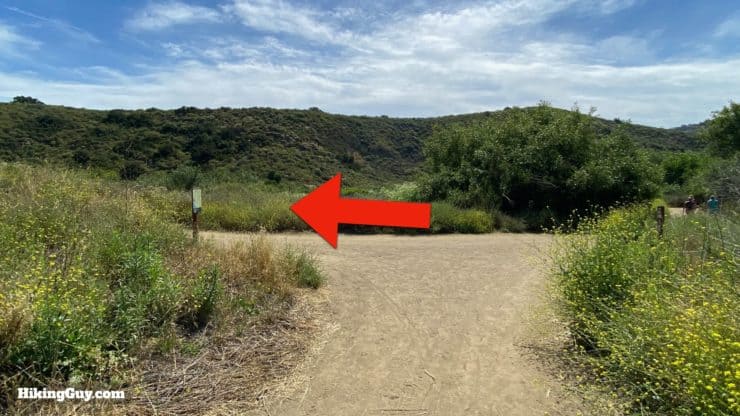
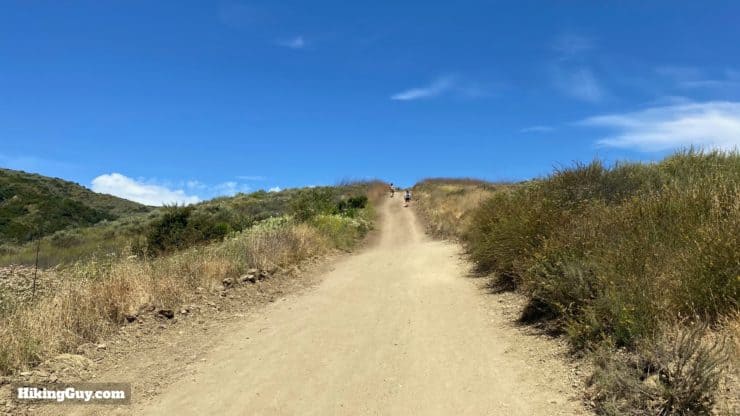
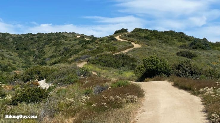
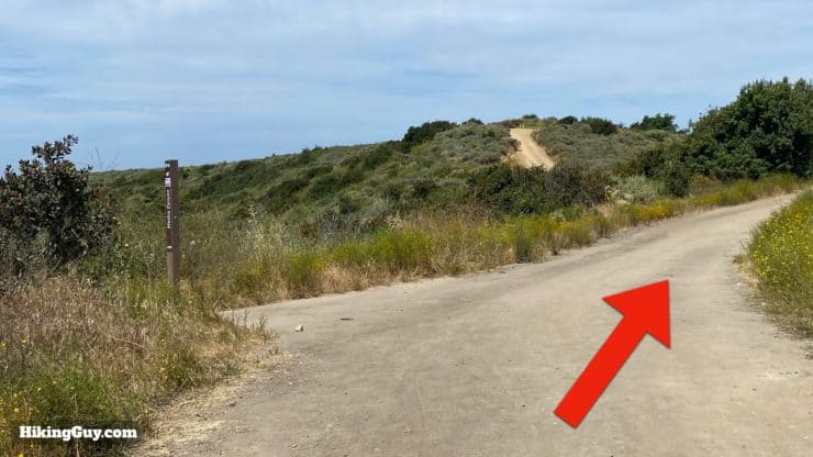
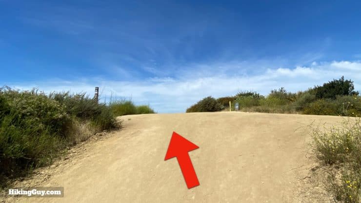
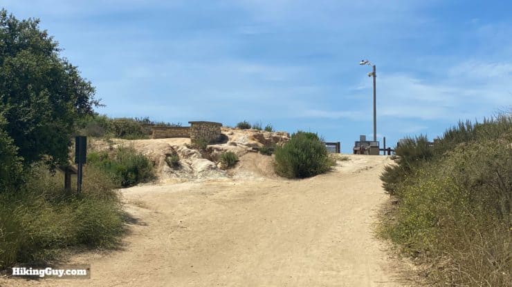
Car Wreck Trail Hike Directions
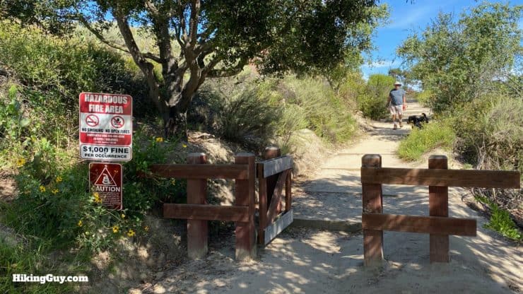
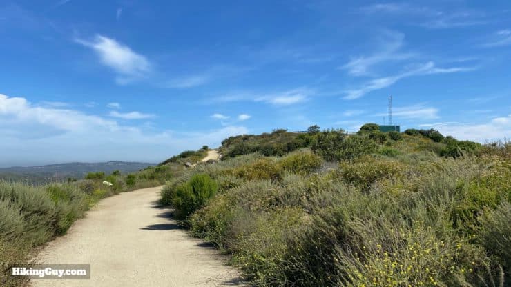
Keep an eye out for mountain bikes that share the trail with you.
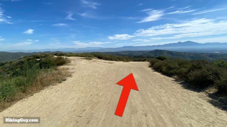
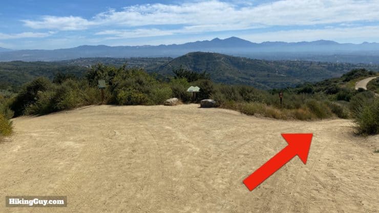
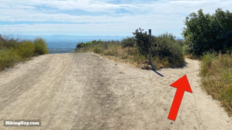
If you want to do the shorter hike, just turn around and go back the way you came from here.
Need More Info?
- Have a question about the guide? Join my Patreon and ask me a question.
- When planning, always check the park website and social media to make sure the trails are open. Similarly, check the weather and road conditions.
- Do you have an update to this guide? View the Youtube comments for this video. Leave a comment and I will do my best to update the guide.
Related Guides
 Laguna Coast Wilderness Park Hike
 Crystal Cove Best of Hike
 Top of the World Hike (Laguna Beach)
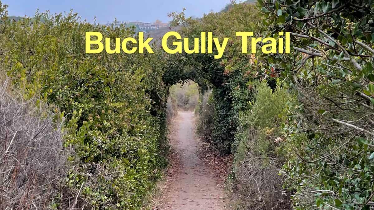 Buck Gully Trail Guide
 San Juan Loop Trail Guide (CA)
 Bommer Canyon Trail Hike Guide
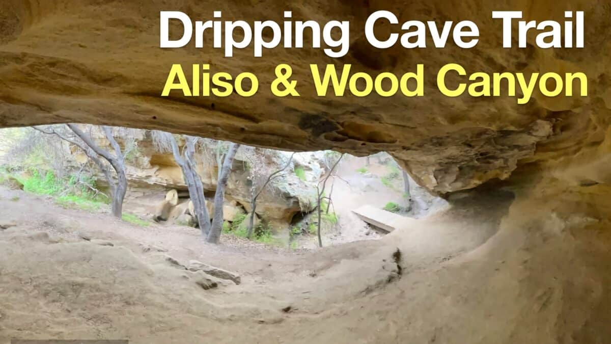 Dripping Cave Trail Hike
 Hikes In and Around Orange County
Popular Guides
 Best Hiking Gear 2024
 Hiking Boots or Shoes: Do I Really Need Hiking Boots?
 When to Hit SOS on inReach
This Guide Was Written by Cris Hazzard

Hi, I'm Cris Hazzard, aka Hiking Guy, a professional outdoors guide, hiking expert, and author based in Southern California. I created this website to share all the great hikes I do with everyone else out there. This site is different because it gives detailed directions that even the beginning hiker can follow. I also share what hiking gear works and doesn't so you don't waste money. I don't do sponsored or promoted content; I share only the gear recommendations, hikes, and tips that I would with my family and friends. If you like the website and YouTube channel, please support these free guides (I couldn't do it without folks like you!). You can stay up to date with my new guides by following me on YouTube, Instagram, or by subscribing to my monthly newsletter.