

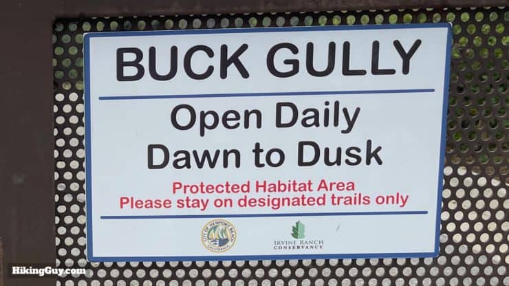
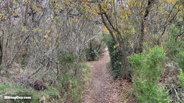
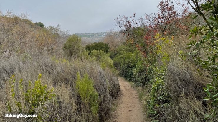
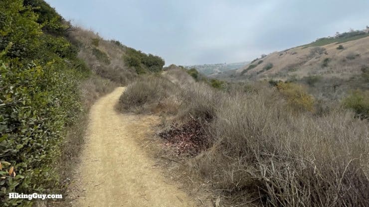
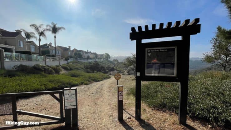
The Buck Gully Trail is a peaceful and fun hike through a coastal watershed located in Newport Beach's foothills. What makes the hike remarkable is that the 1,200 acres of Buck Gully Reserve are tucked in between all the development around Newport Beach. So even though this hike is close to civilization, you feel like you are a world away as you hike your way up the canyon. It's an easy hike, great for all levels and families. And while the trail itself doesn't offer ocean views, I'll show you an optional loop that offers vistas to Palos Verdes and Long Beach.
- Video and Turn-by-Turn Directions for the Buck Gully Trail
- How to Get to the Buck Gully Trail
- Insider Tips & Alternate Distances
Where to Park for the Buck Gully Trail
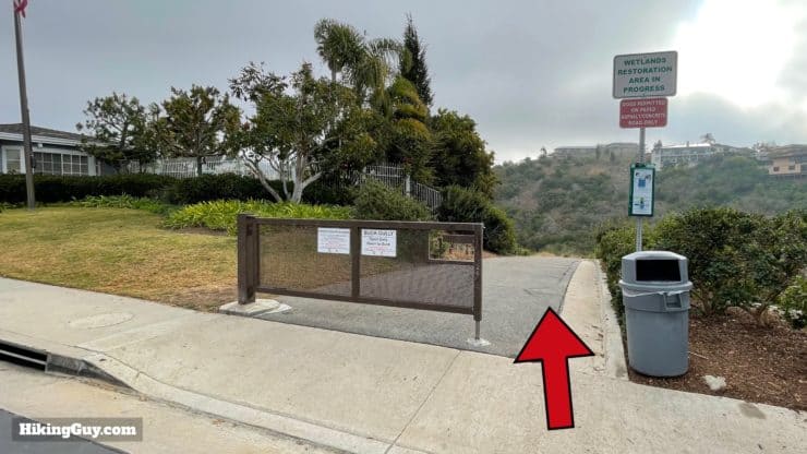
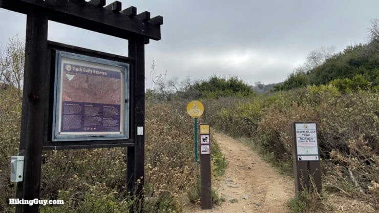
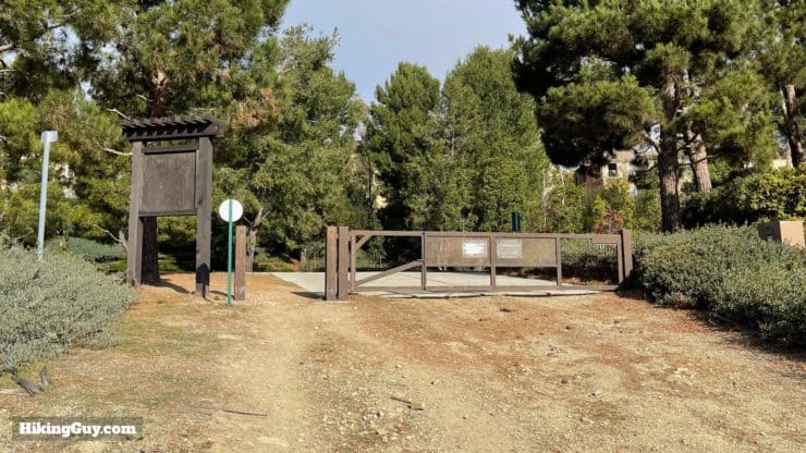
While there are two ends of the Buck Gully Trail, the traditional starting point is in Corona del Mar, which is the only trailhead that offers parking. Use this trailhead address:
872 Poppy Ave, Corona Del Mar, CA 92625


There are no bathrooms at the trailhead or on the trail, but the City of Newport Beach says that you can use the restrooms at the nearby Oasis Senior Center.
Gear for the Hike
You don't need any special gear to do this hike. Light hiking gear or fitness clothes work great. After rain, the trail can get muddy, so ideally you'll wear hiking footwear.
Gear That I Love Right Now
Nothing is sponsored or promoted, just the actual gear that I use.


Check out the complete list here. ( Updated July 2024)
Buck Gully Trail Maps
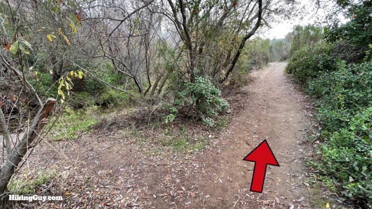
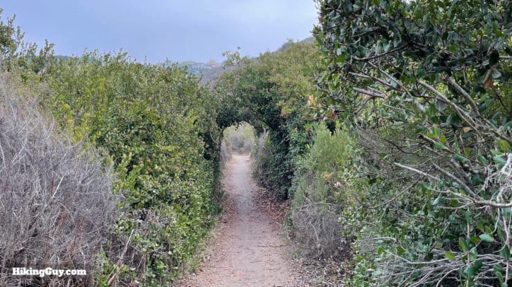
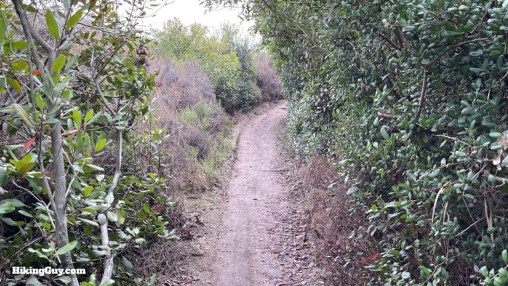
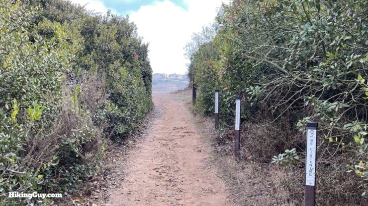
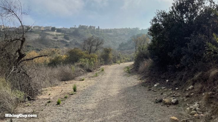
The trail is easy to follow and well-marked with trail signs at the junctions. You'll share the trail with mountain bikes, but they are only allowed to go one way, uphill, so they're never flying by. In the spring the area comes alive with wildflowers.
How Will You Navigate?
 Using the Apple Watch for Hiking
 Garmin Fenix 7 & Epix Review For Hikers
 How To Read a Topographic Map
 Garmin GPSMAP 67i Review
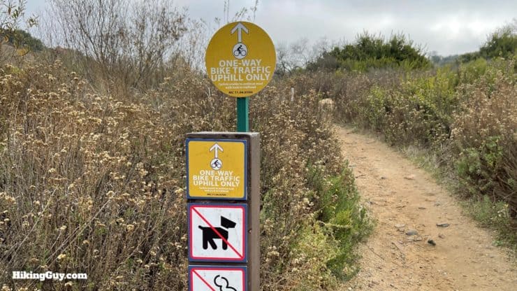
3D Map
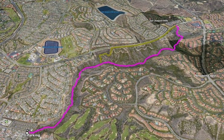
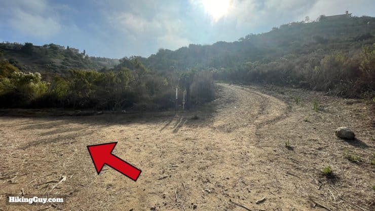
Buck Gully Trail Hike Directions


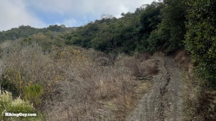
If you just want to do 4 miles and avoid the fire road portion, you can turn around here.
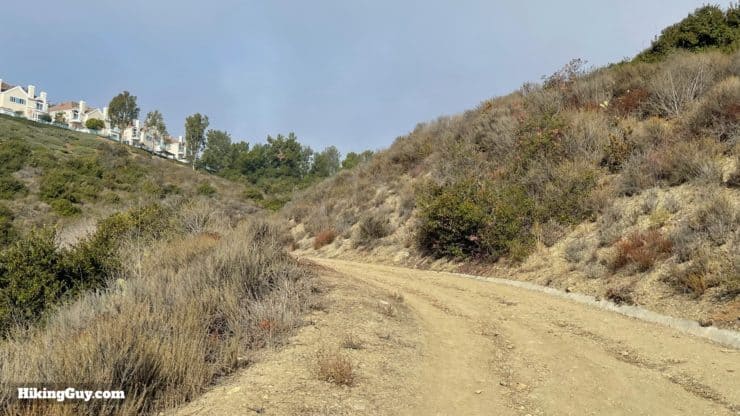
From here you have a few options.
- If you want a snack or bathroom break, make the right and walk on the sidewalk about 5 minutes to the shopping center which has a Starbucks, supermarket, and other food options.
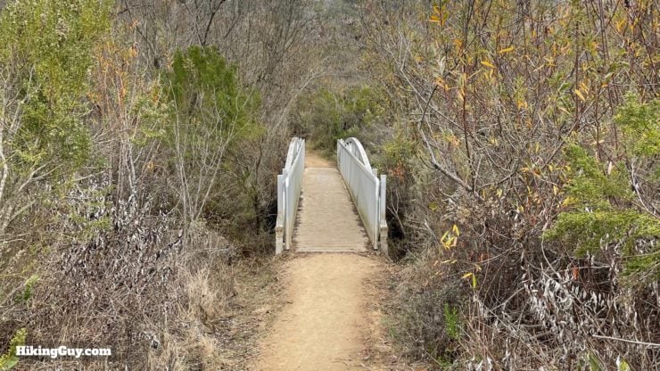
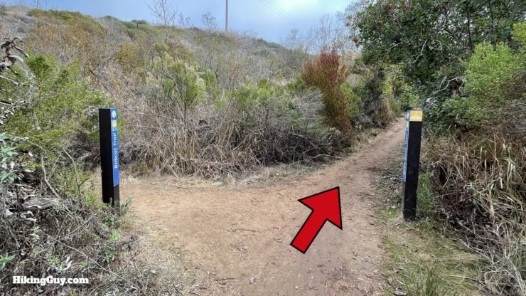
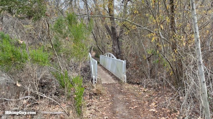
- If you want some ocean views, make the left and walk down the sidewalk. After about 1 mile, you'll see a turnoff and trailhead for the Bobcat Trail. Take the Bobcat Trail downhill and it will dead end into the Buck Gully Trail after crossing a bridge.
Need More Info?
- Have a question about the guide? Join my Patreon and ask me a question.
- When planning, always check the park website and social media to make sure the trails are open. Similarly, check the weather and road conditions.
- Do you have an update to this guide? View the Youtube comments for this video. Leave a comment and I will do my best to update the guide.
Related Guides
 Car Wreck Trail (Laguna Beach)
 Upper Newport Bay Nature Preserve Hike
 Bolsa Chica Ecological Reserve Hike
 Crystal Cove Best of Hike
 Laguna Coast Wilderness Park Hike
 Bommer Canyon Trail Hike Guide
 Dripping Cave Trail Hike
 Hikes In and Around Orange County
Popular Guides
 Best Hiking Gear 2024
 Hiking Boots or Shoes: Do I Really Need Hiking Boots?
 When to Hit SOS on inReach
This Guide Was Written by Cris Hazzard

Hi, I'm Cris Hazzard, aka Hiking Guy, a professional outdoors guide, hiking expert, and author based in Southern California. I created this website to share all the great hikes I do with everyone else out there. This site is different because it gives detailed directions that even the beginning hiker can follow. I also share what hiking gear works and doesn't so you don't waste money. I don't do sponsored or promoted content; I share only the gear recommendations, hikes, and tips that I would with my family and friends. If you like the website and YouTube channel, please support these free guides (I couldn't do it without folks like you!). You can stay up to date with my new guides by following me on YouTube, Instagram, or by subscribing to my monthly newsletter.