
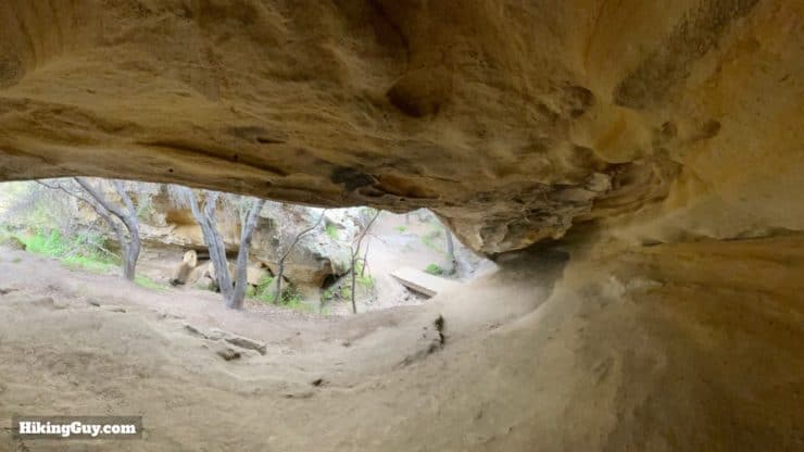
Tucked away in Aliso and Wood Canyons Wilderness Park, just minutes from Laguna Beach, the Dripping Cave Trail is one of the most fun and easiest hikes in Orange County. Dripping cave, used by native peoples and later bandits, is huge, open, and fun to explore. The park is rich with natural beauty and wildlife, and on the way to Dripping Cave, we'll visit Cave Rock, another cool rock formation hidden away from the busier trails. This five-mile hike is mostly flat, easy to follow, and family-friendly.
- Video and Turn-by-Turn Directions for the Dripping Cave Trail
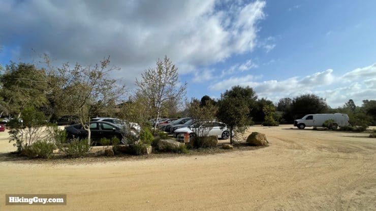
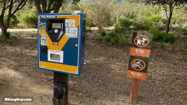
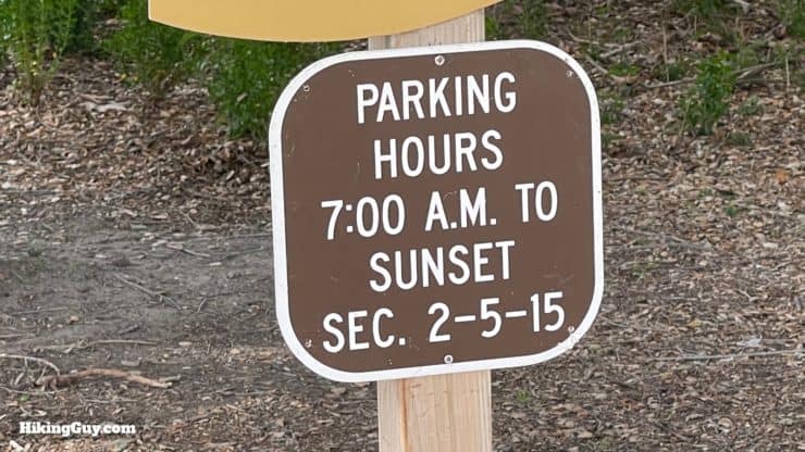
- Where to Park for the Dripping Cave Trail
- Hike Tips and Recommendations
Where is the Dripping Cave Trail?
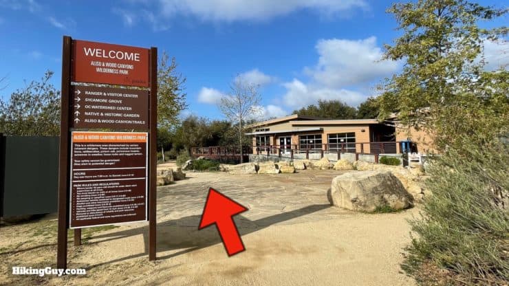
The Dripping Cave Trail is in Aliso and Wood Canyons Wilderness Park. The park has over 30 miles of trails, and there are many ways to get to the caves, but the route I'll show you here is the most popular and the easiest. Use the official trailhead at:
Aliso and Wood Canyons Wilderness Park, 28373 Alicia Pkwy, Aliso Viejo, CA 92656
There are bathrooms at the trailhead and also about half-way to the Dripping Cave.
Gear For the Hike
This is an easy hike that can be done in fitness clothing or light hiking gear. In the summer it can be very hot. I bring 0.5L of water with me.
Gear That I Love Right Now
Nothing is sponsored or promoted, just the actual gear that I use.


Check out the complete list here. ( Updated July 2024)
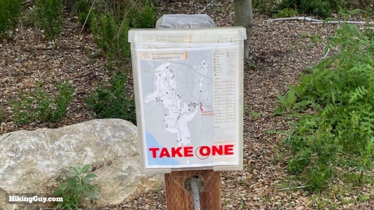
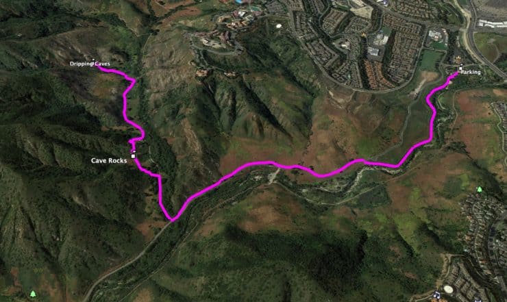
Dripping Cave Trail Maps
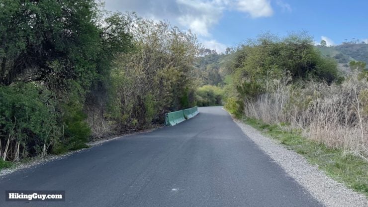
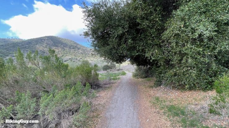
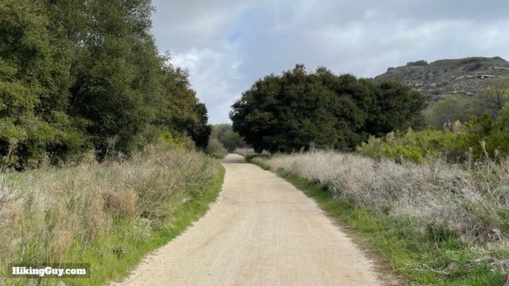
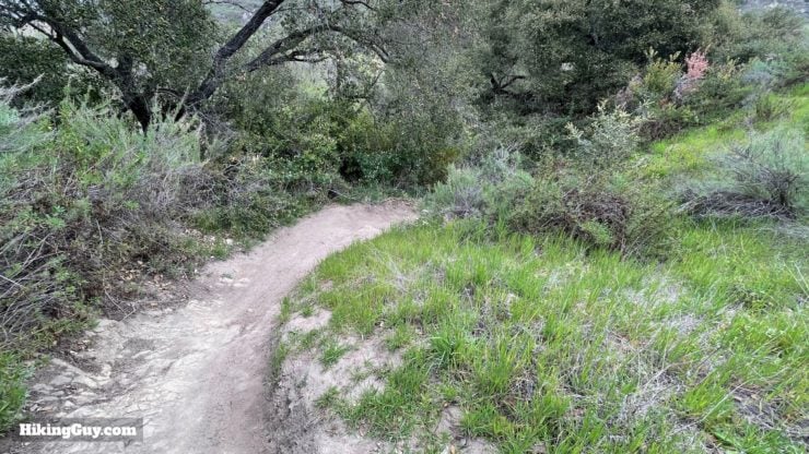
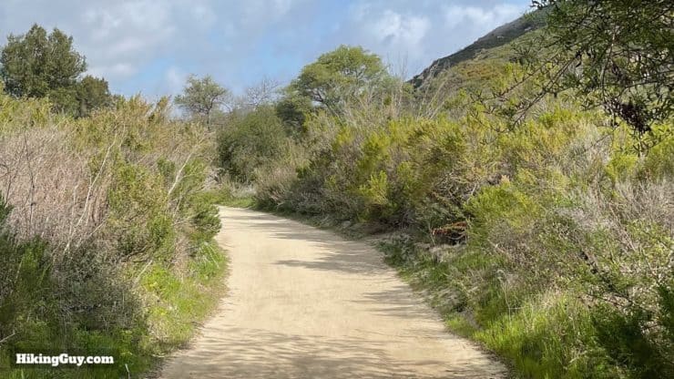
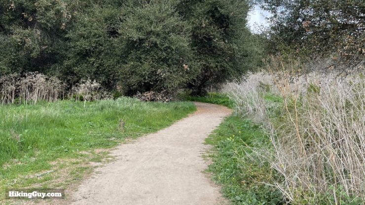
Aliso and Wood Canyons Wilderness Park offers well-maintained and well-marked trails. The first part of the hike is on a paved road, but don't let that put you off; it's peaceful and scenic. The rest of the hike is on sandy dirt trails.
How Will You Navigate?
 Using the Apple Watch for Hiking
 Garmin Fenix 7 & Epix Review For Hikers
 How To Read a Topographic Map
 Garmin GPSMAP 67i Review
3D Map
Hike Brief

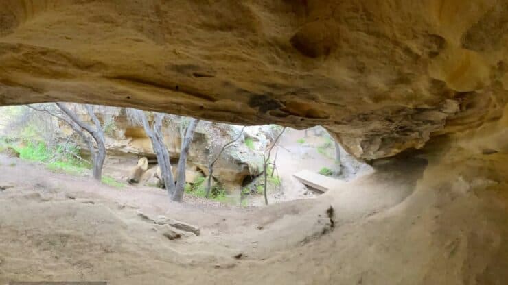
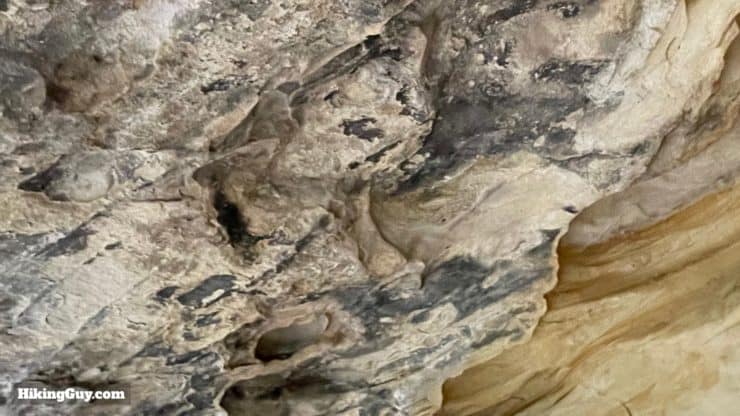
- Dripping Cave and Cave Rocks were used for thousands of years as shelters by native peoples. Aliso Creek, which you'll hike along, was the border between the Acjachemen and Tongva peoples, and artifacts from the area suggest that trading and seasonal migrations would occur in this area.
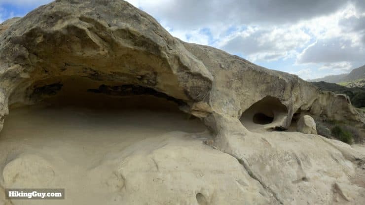
- Dripping Cave is also known as Robber's Cave, because it served as a hideout for Juan Flores and his gang in 1856-57. They would rob the stagecoaches between San Diego and Los Angeles and then hide out in the caves. The holes on the ceiling of the cave housed pegs that held their gear.
- The "drip" from the cave only occurs when it rains, which is rare in Southern California.
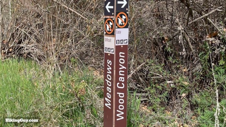
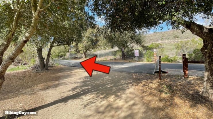
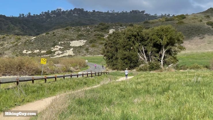
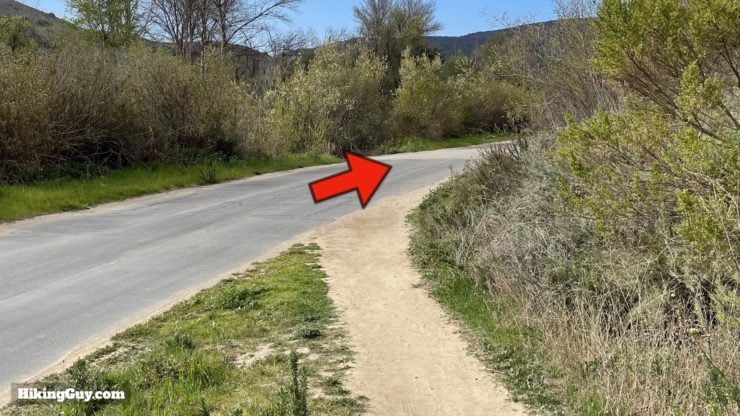
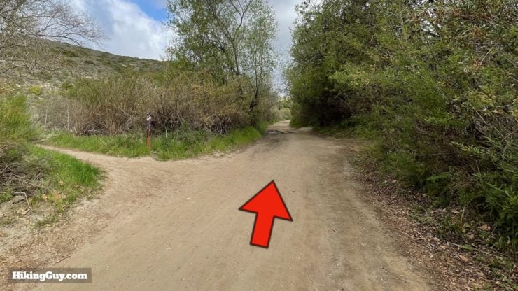
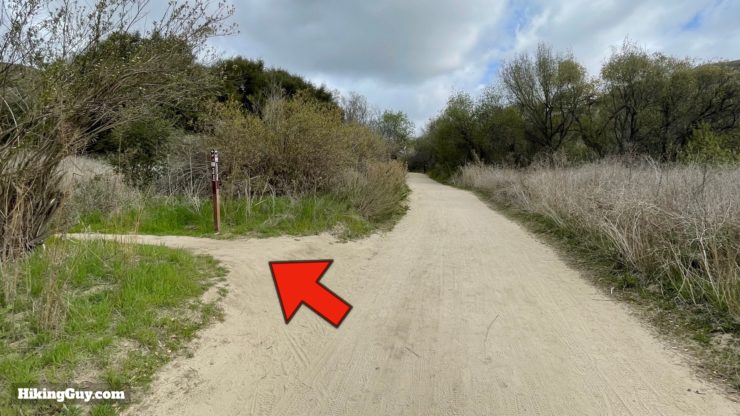
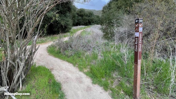
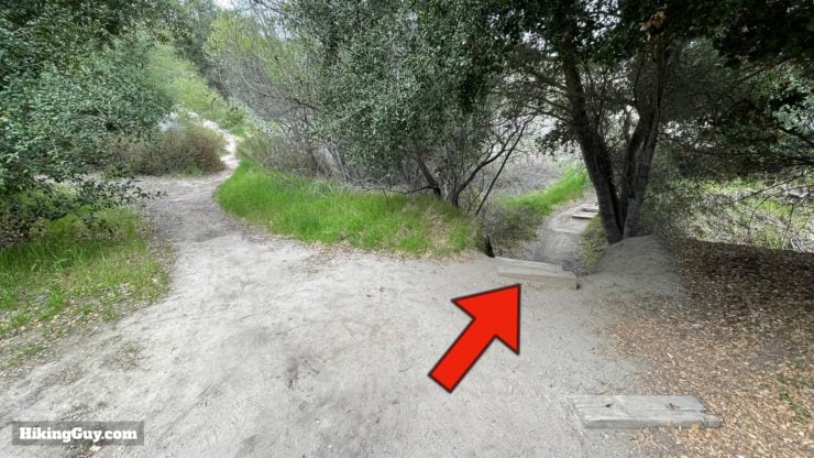
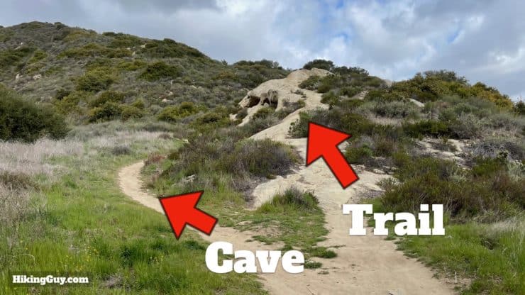
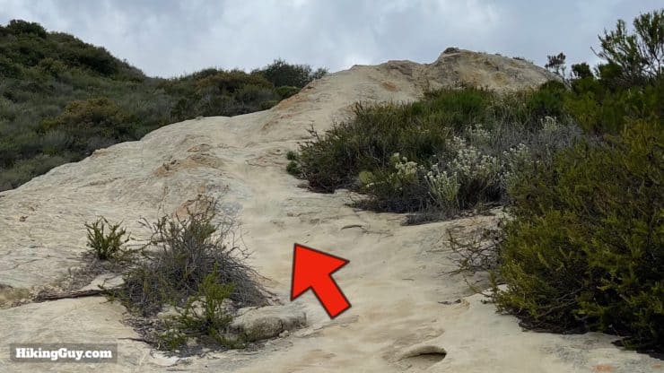
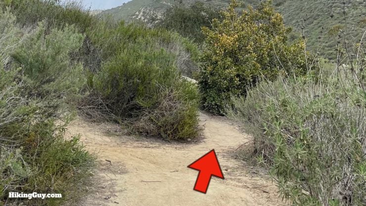
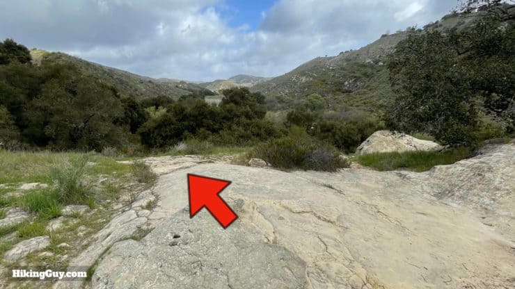
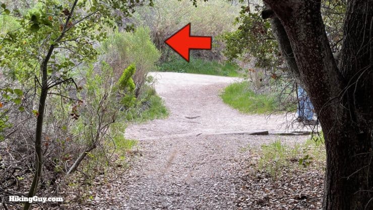
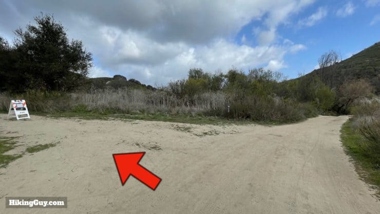
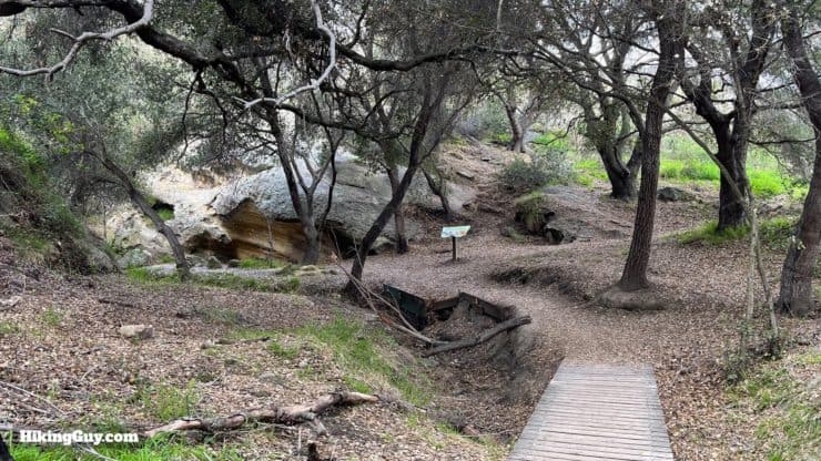
Dripping Cave Hike Directions

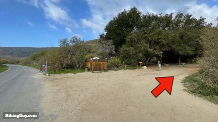
There's a toilet and picnic benches here.


Once you're done at the Dripping Cave, return the way you came. You can go straight instead of taking the Cave Rock Trail detour, and if you want, take the paved path back once you get to Aliso Creek.
Need More Info?
- Have a question about the guide? Join my Patreon and ask me a question.
- When planning, always check the park website and social media to make sure the trails are open. Similarly, check the weather and road conditions.
- Do you have an update to this guide? View the Youtube comments for this video. Leave a comment and I will do my best to update the guide.
Related Guides
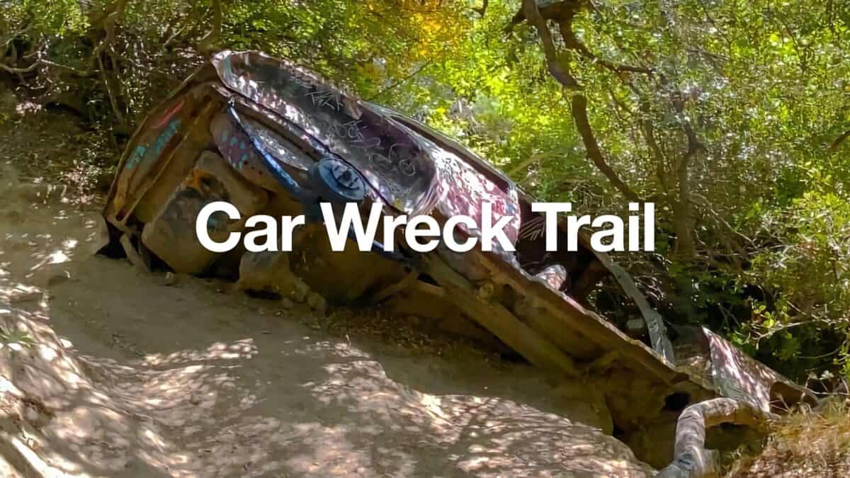 Car Wreck Trail (Laguna Beach)
 Top of the World Hike (Laguna Beach)
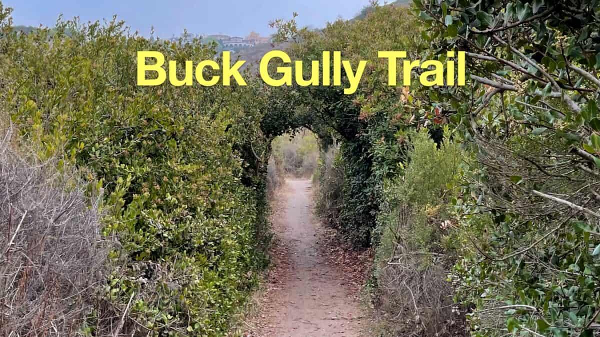 Buck Gully Trail Guide
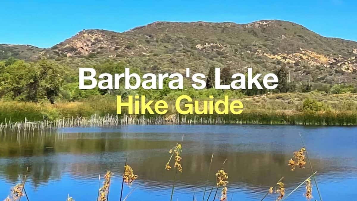 Barbara's Lake Hike (Laguna Beach)
 Hikes In and Around Orange County
Popular Guides
 Best Hiking Gear 2024
 Hiking Boots or Shoes: Do I Really Need Hiking Boots?
 When to Hit SOS on inReach
This Guide Was Written by Cris Hazzard

Hi, I'm Cris Hazzard, aka Hiking Guy, a professional outdoors guide, hiking expert, and author based in Southern California. I created this website to share all the great hikes I do with everyone else out there. This site is different because it gives detailed directions that even the beginning hiker can follow. I also share what hiking gear works and doesn't so you don't waste money. I don't do sponsored or promoted content; I share only the gear recommendations, hikes, and tips that I would with my family and friends. If you like the website and YouTube channel, please support these free guides (I couldn't do it without folks like you!). You can stay up to date with my new guides by following me on YouTube, Instagram, or by subscribing to my monthly newsletter.