Ice Box Canyon Trail
Hike Stats
- Total Distance
- 2.5 miles
- Time
- 1-2 Hours
- Total Climbing
- 570 feet
- Difficulty
- Moderate
- Crowds
- Moderate
- Dogs
- Leashed
- Gear
- What I Use
- Weather
- Latest Report
- Park
- Red Rock Canyon
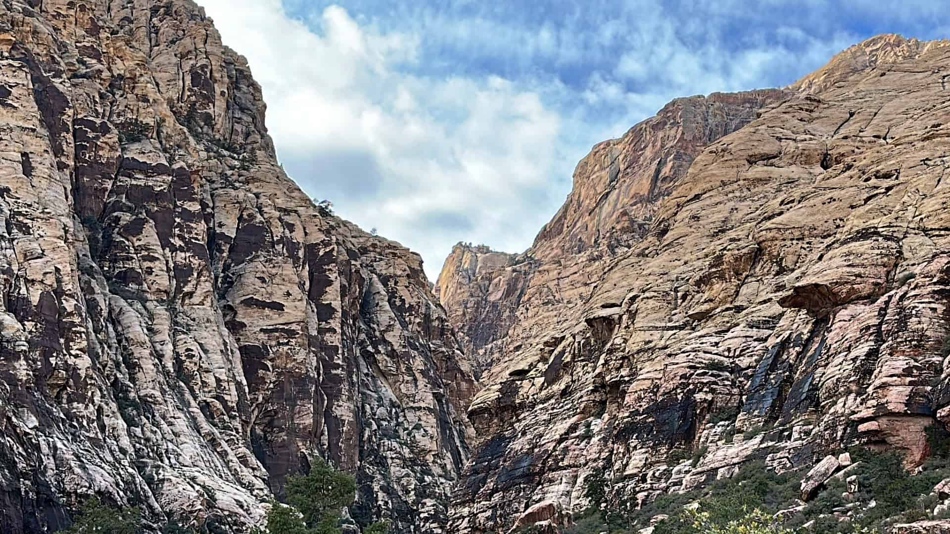
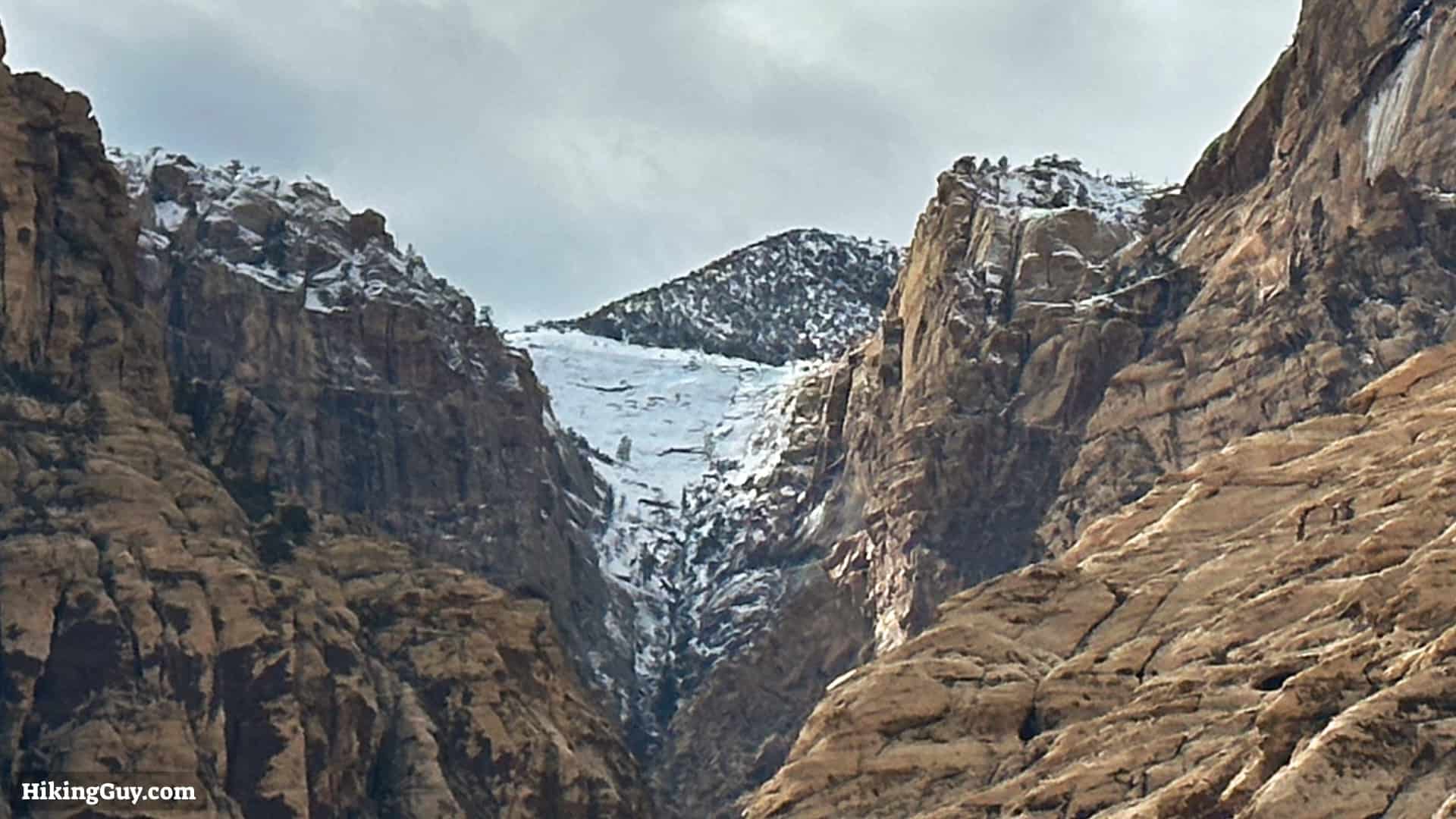
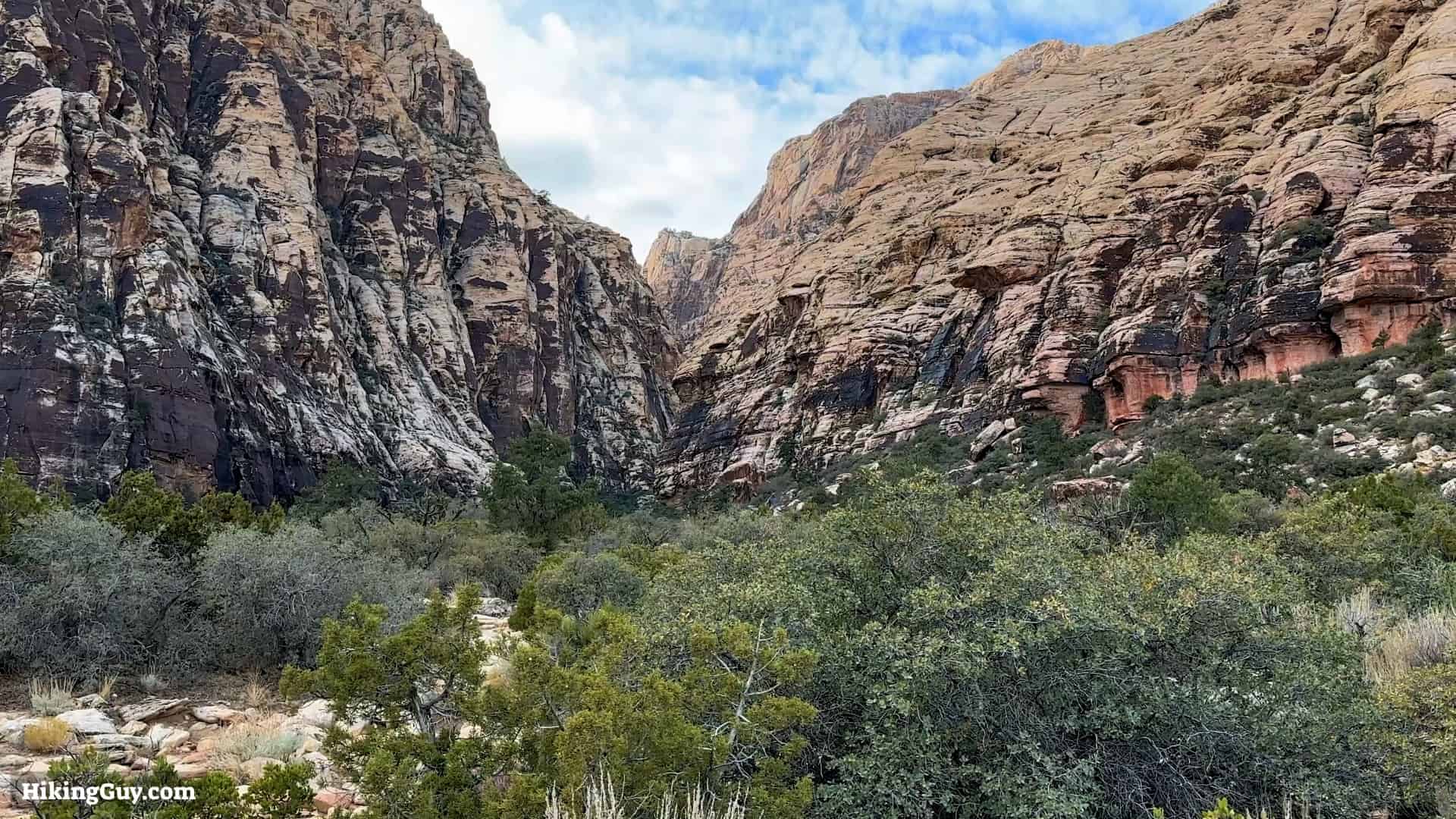
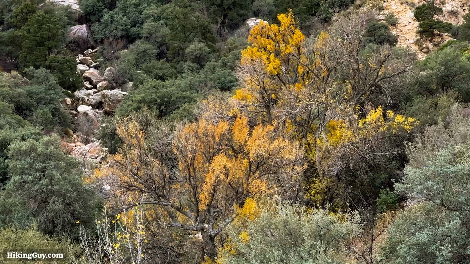
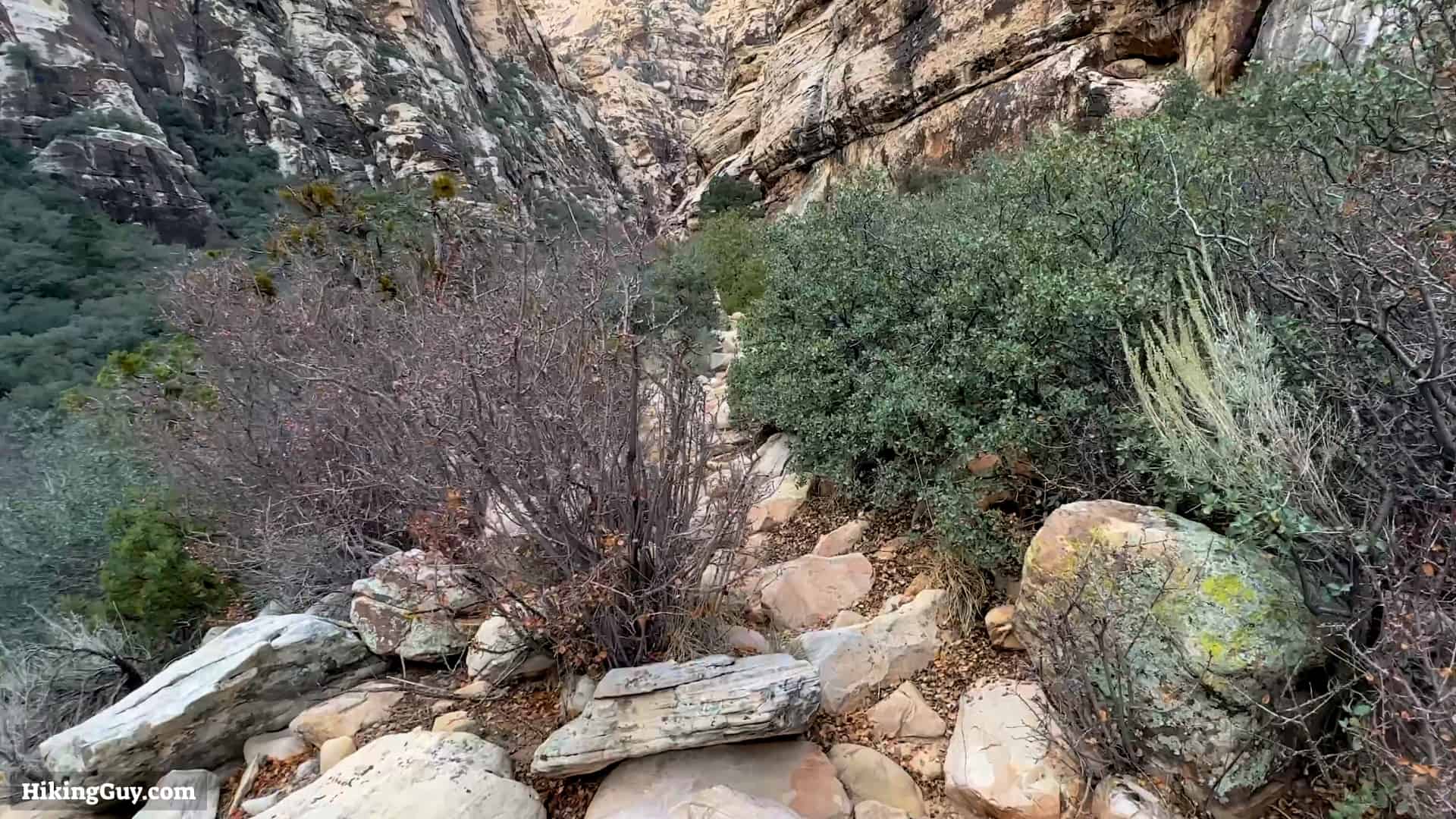
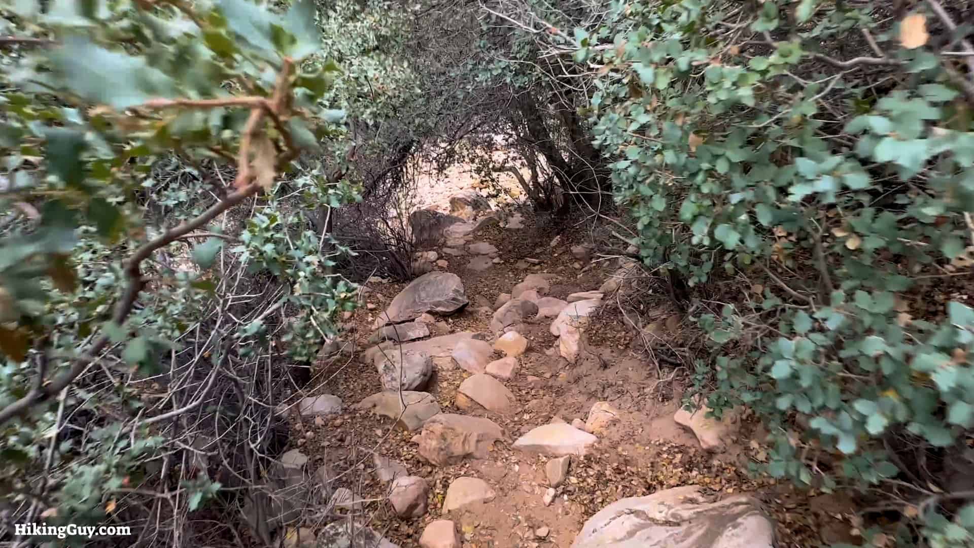
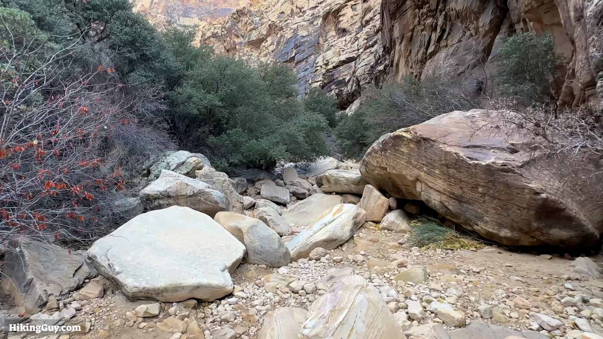
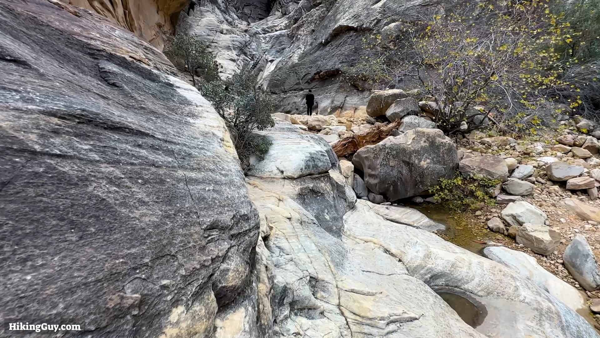
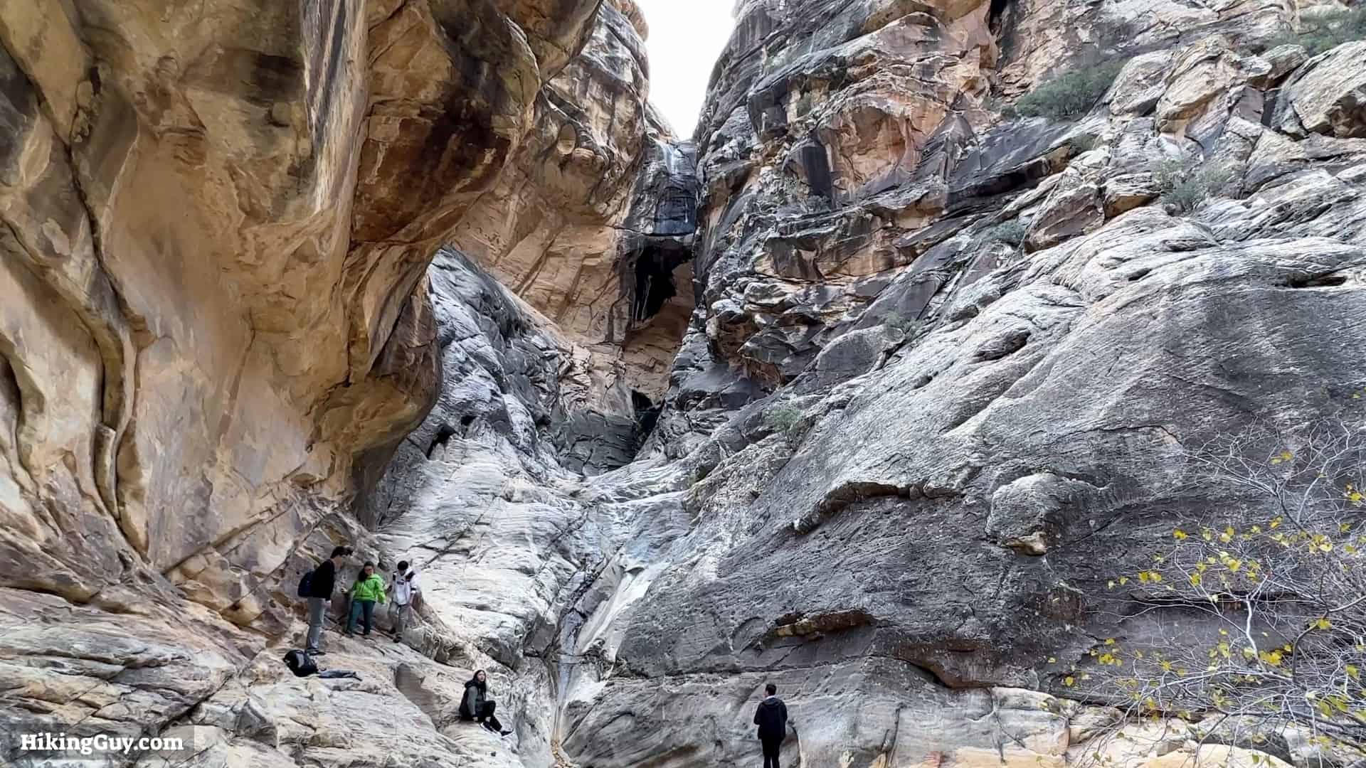
The Ice Box Canyon Trail is a favorite local hike. It's popular but less busy than Red Rock Canyon Park's big-name hikes. The scenery is stunning, with weathered limestone walls providing shade from the sun, making the hike usually much cooler than the surrounding landscape. Once inside Ice Box Canyon, there's some light scrambling as you navigate your way up to the point where the canyon walls make it impossible to continue safely. It's a fun adventure and feels different from Red Rock Canyon's other hikes.
Where is Ice Box Canyon?
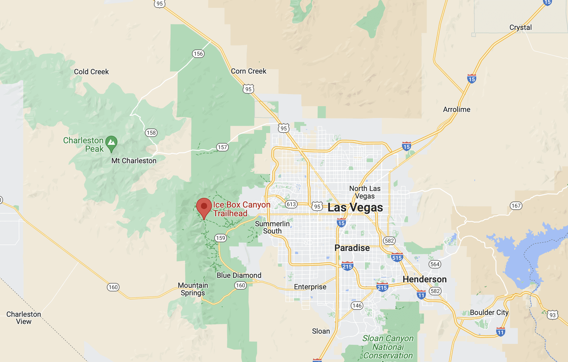
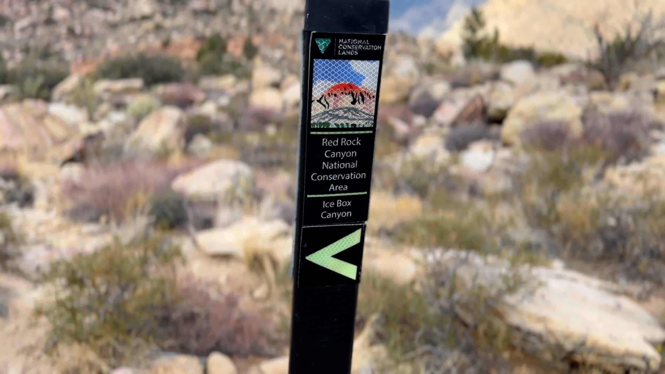
Ice Box Canyon is one of the numerous hikes in Red Rock Canyon National Conservation Area, which the Bureau of Land Management runs. The hike is reached by driving around the (one-way) Scenic Drive. You must get a timed entry for Red Rock Canyon at some points in the year, so check the Recreation.gov website before you go. You don't have to pay an entry fee if you have a National Parks Pass.
Red Rock Canyon is Nevada's first National Conservation Area.
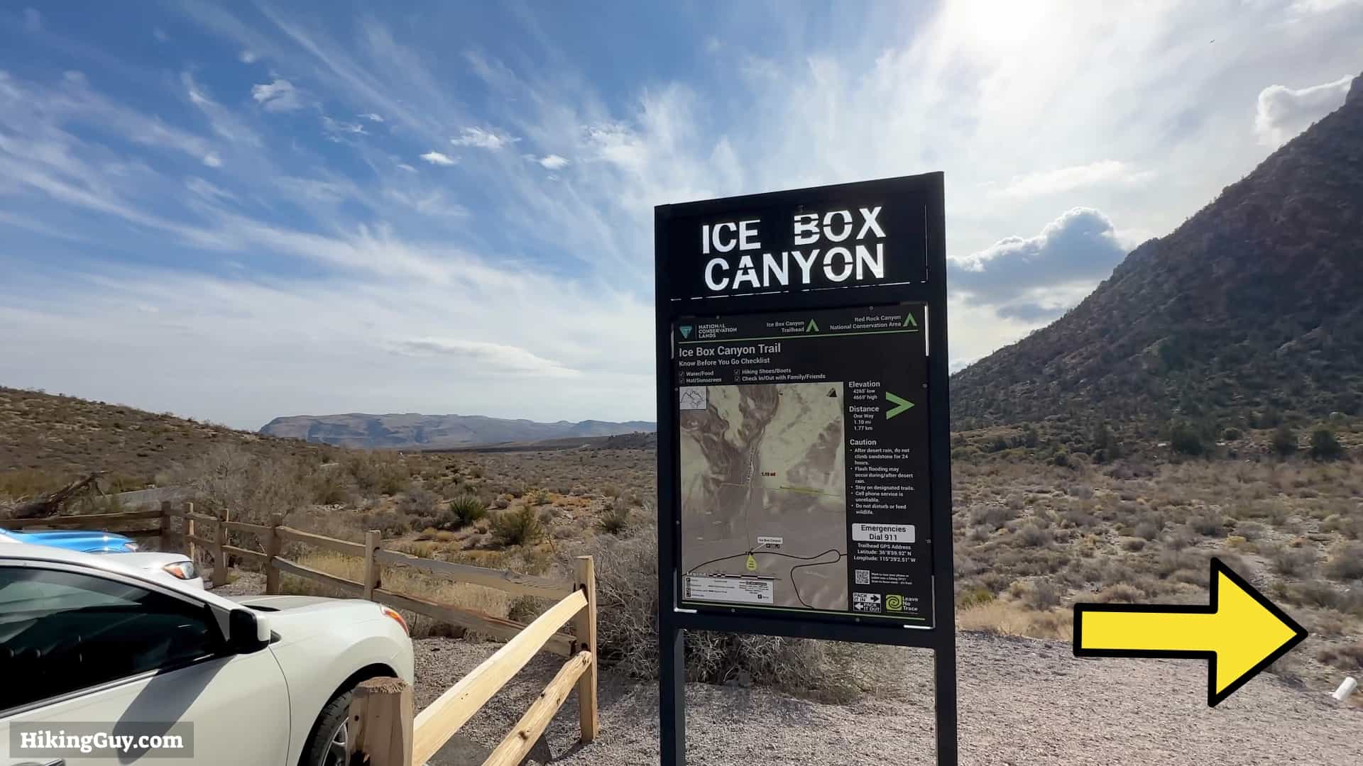
The Ice Box Canyon hike trailhead is about 8 miles past the Red Rock Canyon visitor center, just off the scenic drive. Use this trailhead address: Ice Box Canyon Trailhead, Ice Box Canyon, Las Vegas, NV 89161


Gear For the Hike
You will have to do some easy scrambling on this hike, so light hiking gear or fitness clothes are a good bet. And I'd wear some good trail runners if you have them.
Essentials I’m Using Now
- Garmin inReach Mini 2: Reliable SOS Everywhere on Earth
- Sawyer + CNOC Water Filter: Easy & Reliable Safe Water
- Nitecore NU25 Headlamp: Running late? Get home safe
- Altra Olympus 275: Favorite trail shoes right now, no blisters and very comfy.
- AllTrails Plus (30% off): Offline maps on your phone with the Plus level
- Full November 2025 Gear List →
Ice Box Canyon Trail Maps
3D Map

Hike Brief
- It's often 10-20°F cooler than the surrounding area once you are in the canyon.
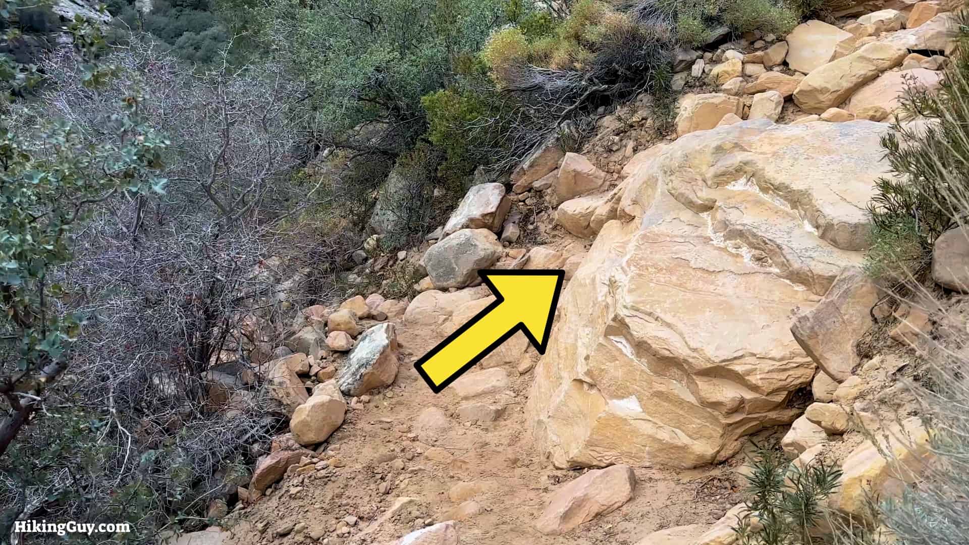
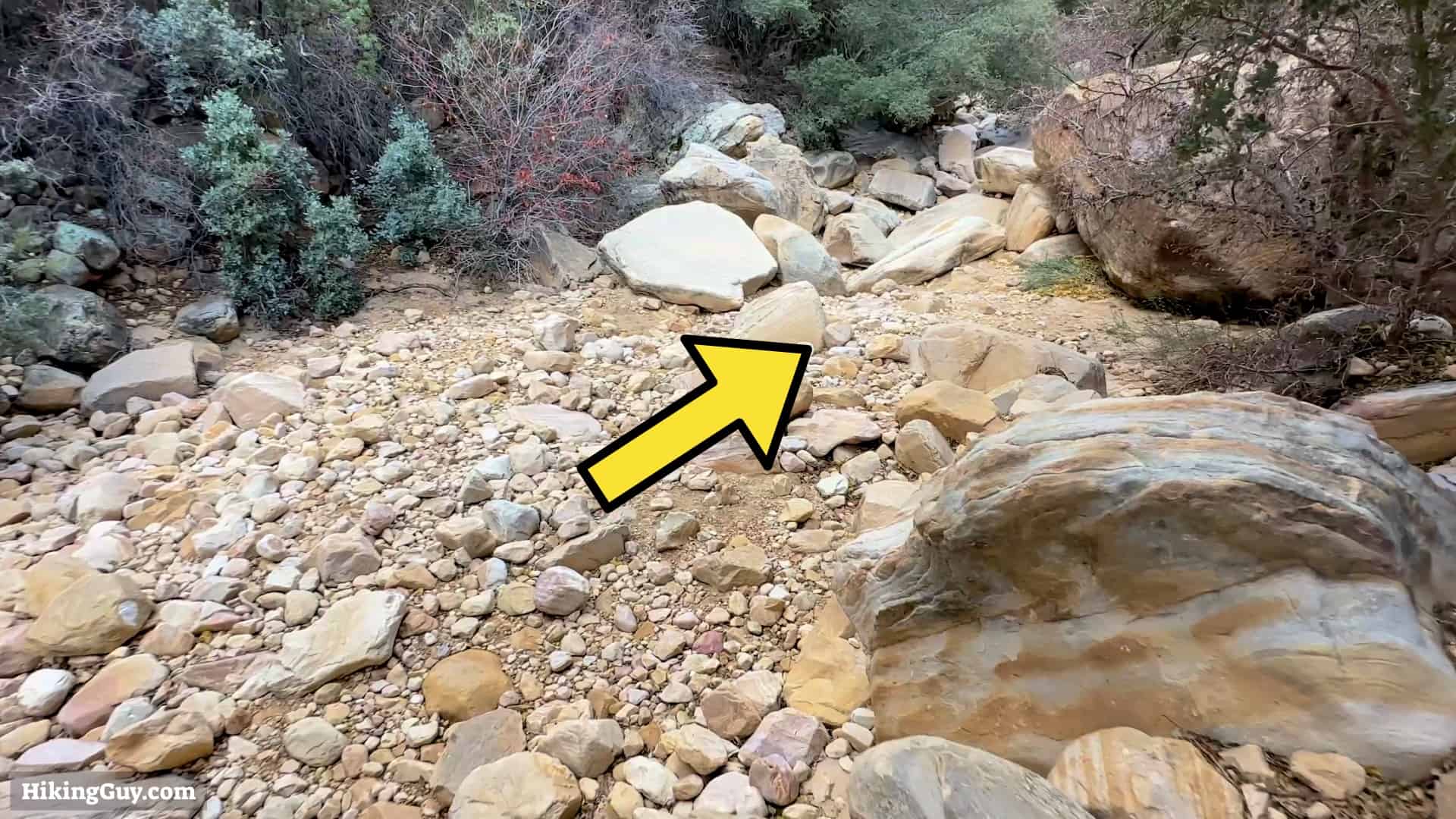
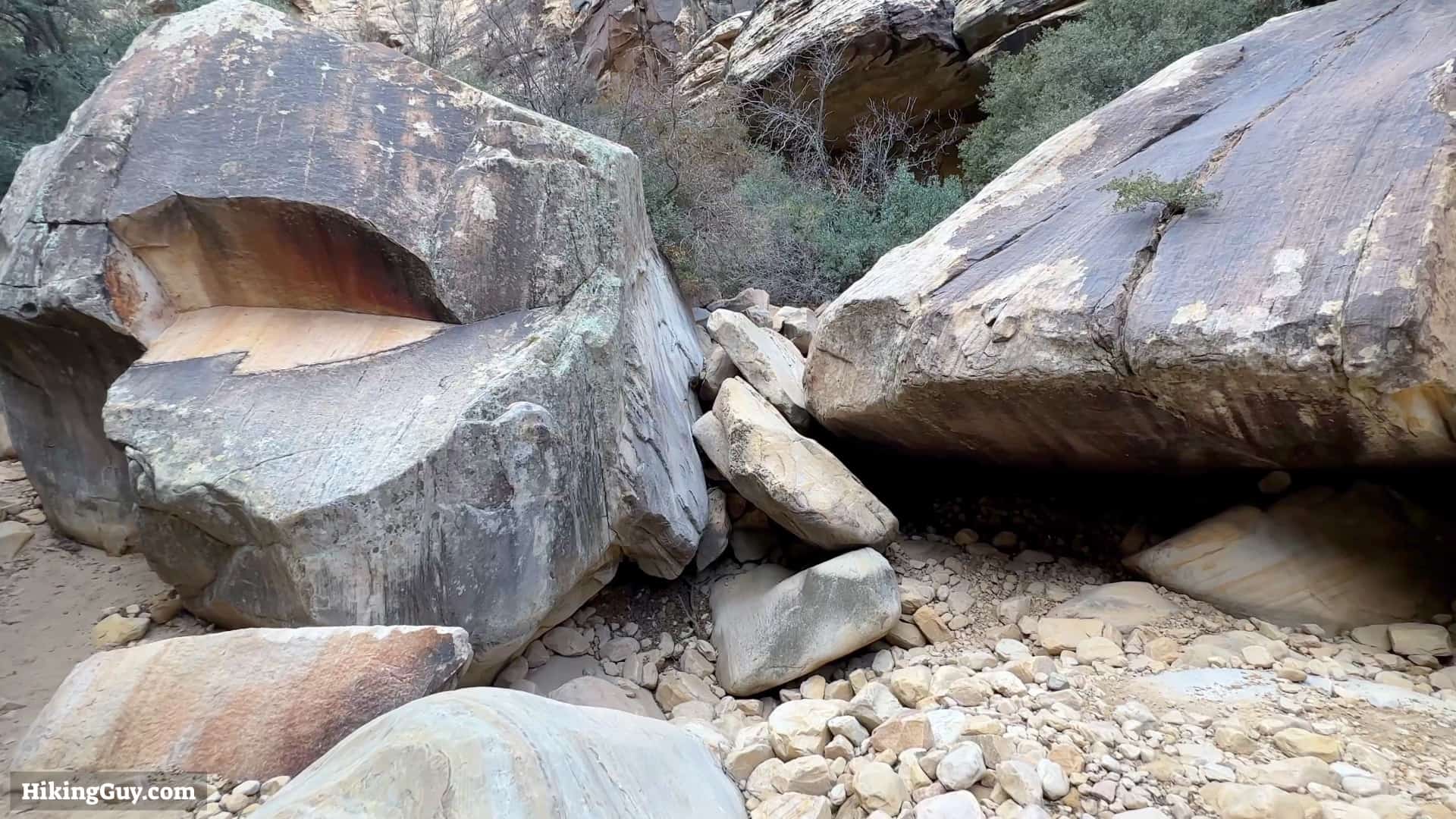
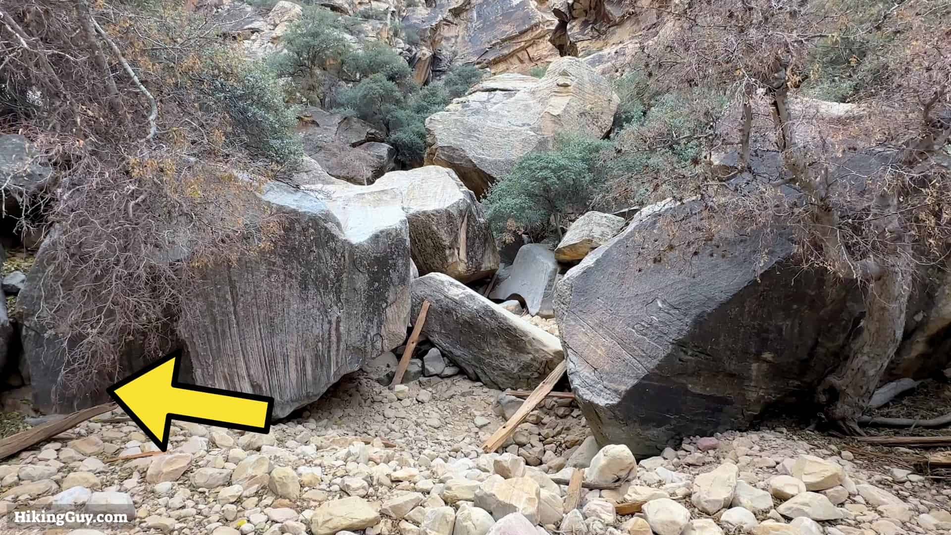
- There's a fair amount of scrambling once you are in the canyon. There are no extreme areas where you must pull yourself up boulders, but be prepared to go around and do small climbs up along the wall to pass certain boulders.
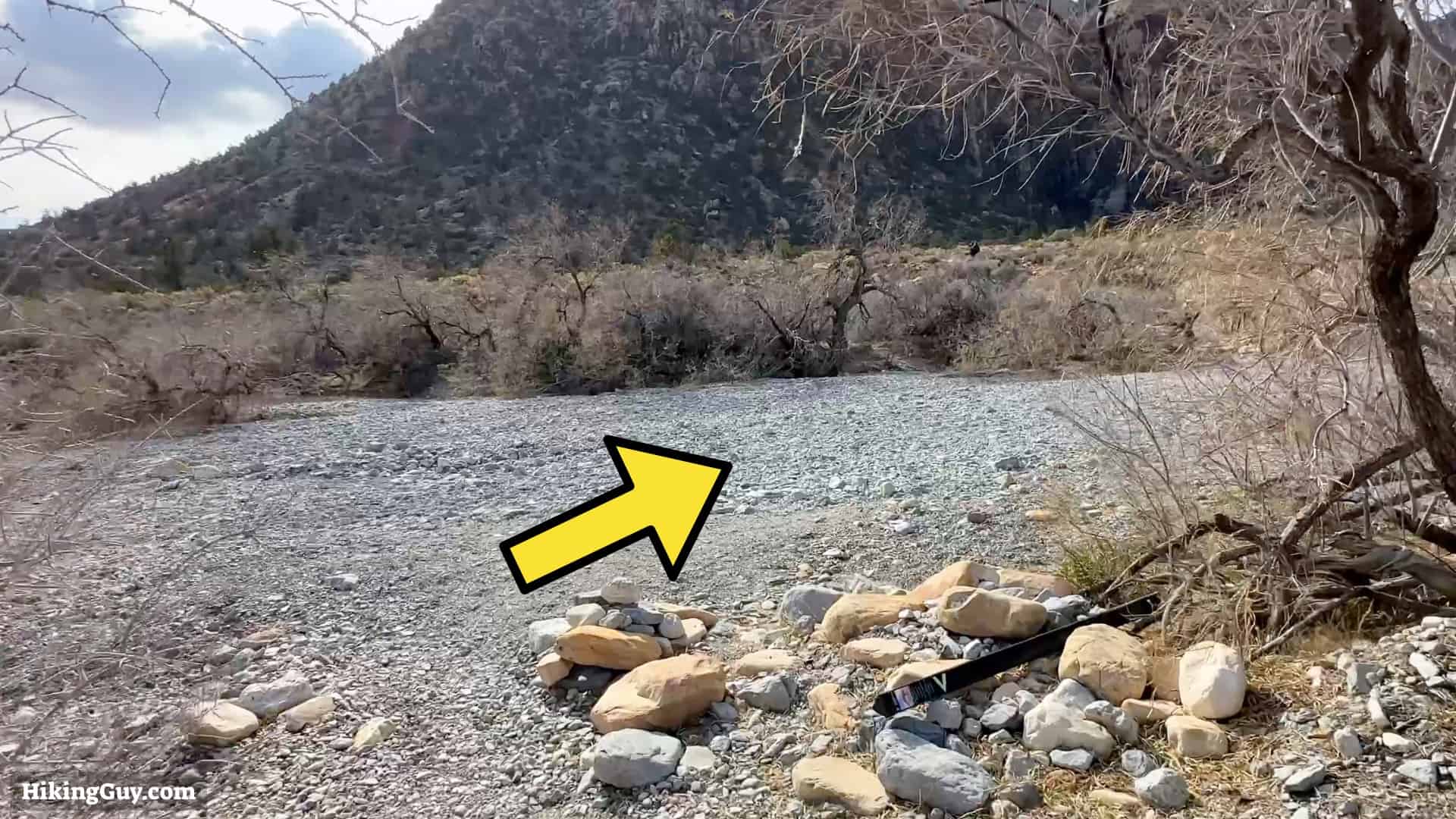
- Usually, the stream bed is dry with some random pools of water. But it could be wet if there's snowmelt or rain.
- If there are thunderstorms in the forecast, you should avoid the canyon. It is susceptible to intense flash floods. The water has enough power to move huge boulders, and it can move you. Watch this incredible video if you're skeptical (or just curious).
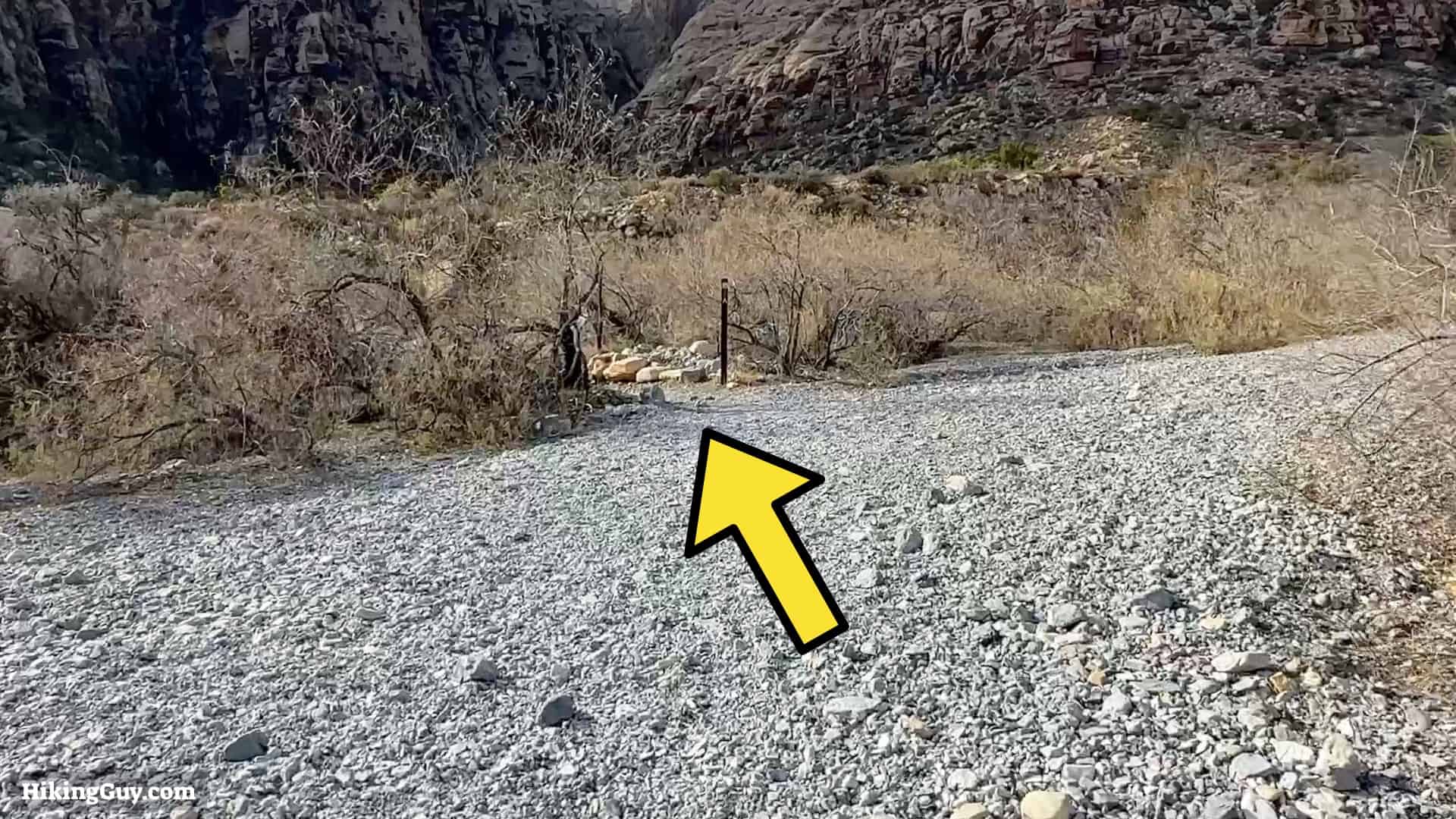
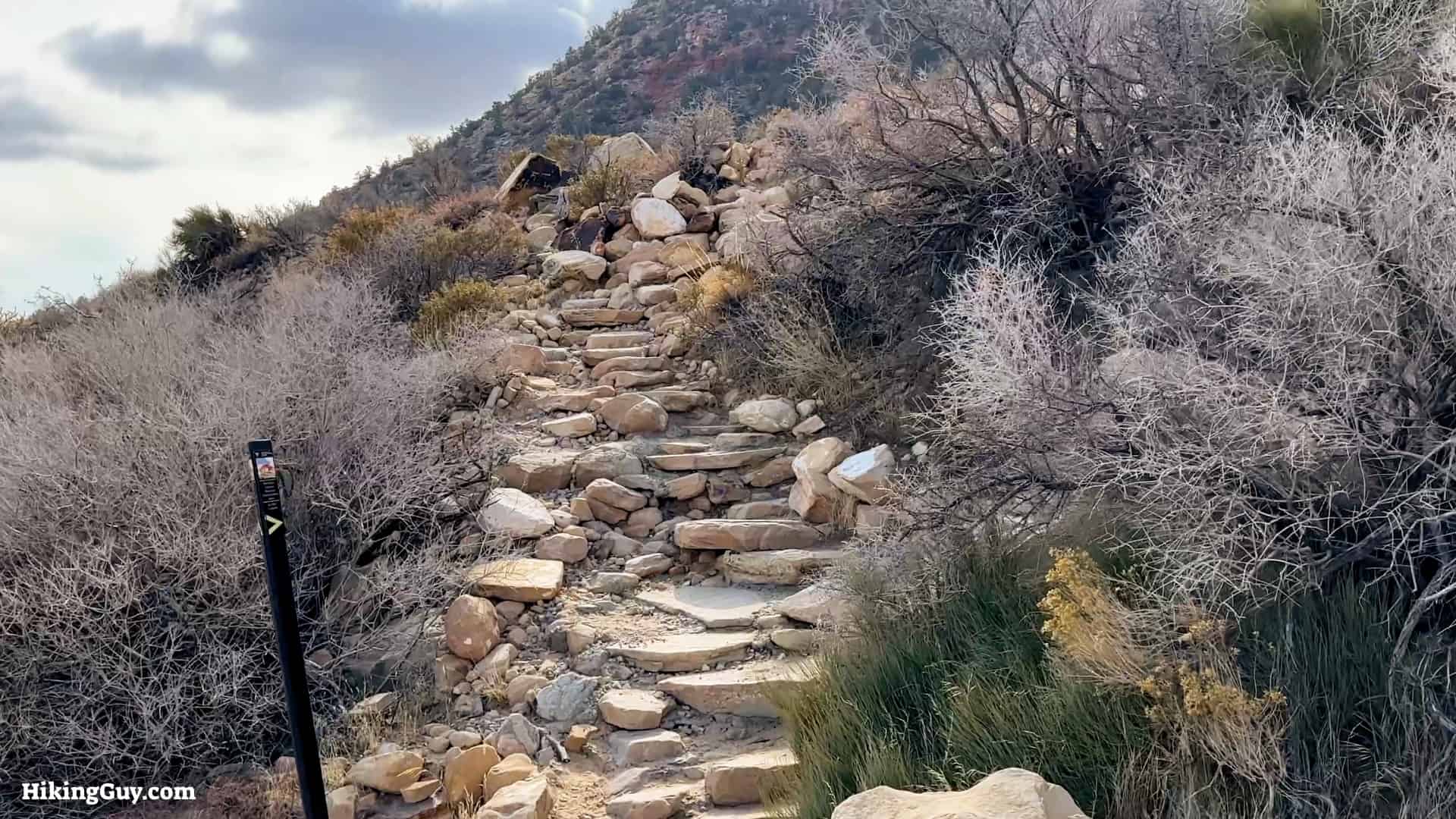
Ice Box Canyon Hike Directions

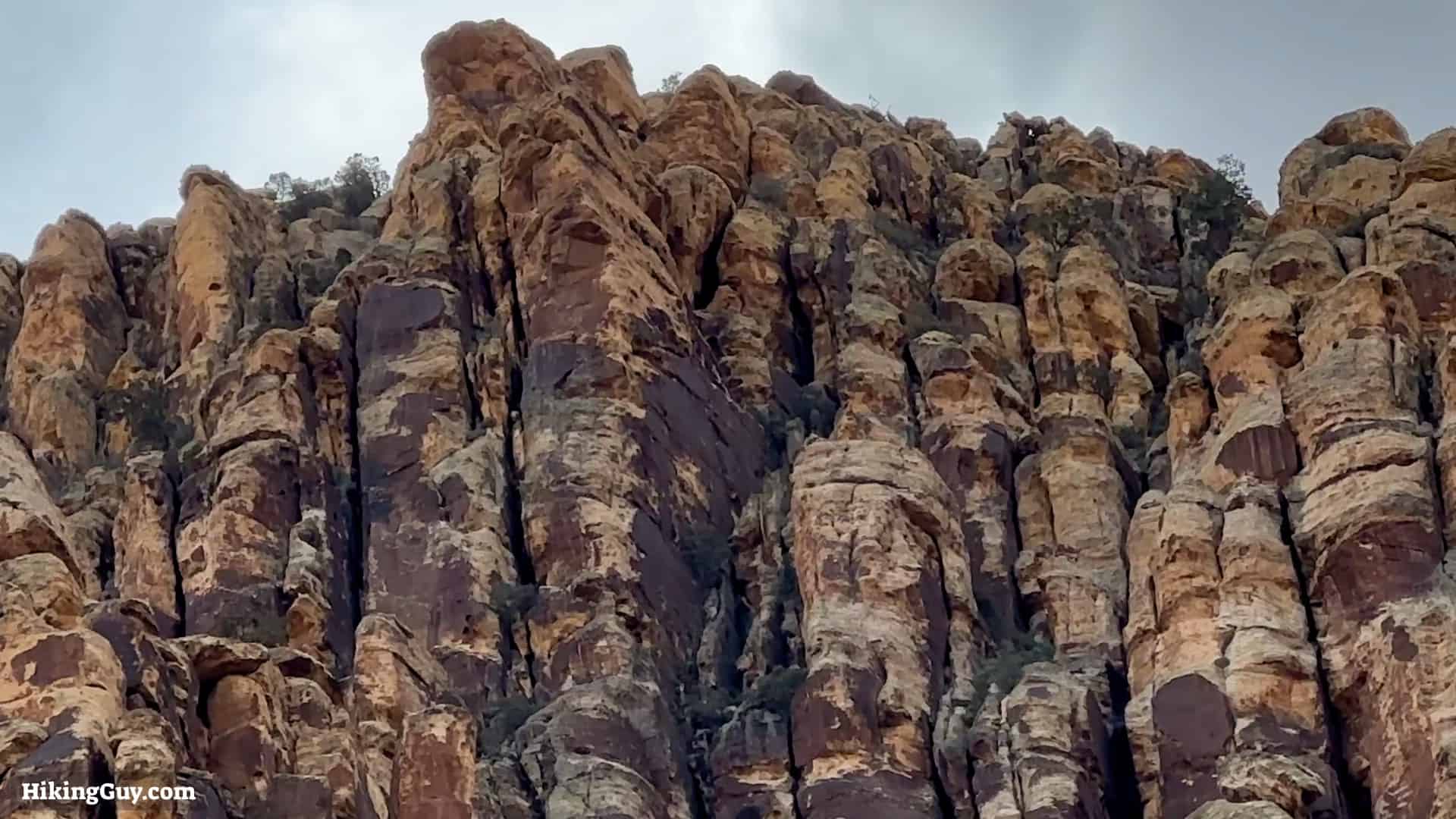
The coloration on the rocks is staining from minerals that are dissolved during erosion.

Originally published February 3, 2023