
Hike the Teepee Trail (La Cañada Flintridge)
Hike Stats
- Total Distance
- 5.4 miles
- Time
- 2-2:30 Hours
- Total Climbing
- 1100 feet
- Difficulty
- Moderate
- Crowds
- Quiet
- Dogs
- Leashed
- Gear
- What I Use
- Weather
- Latest Report
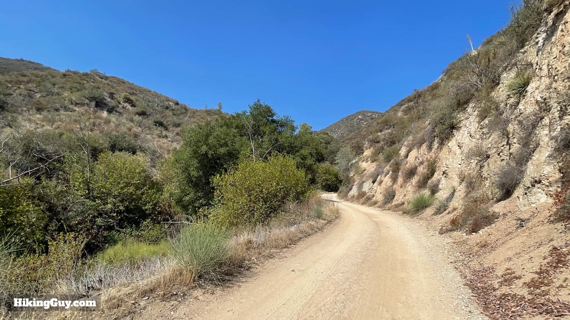
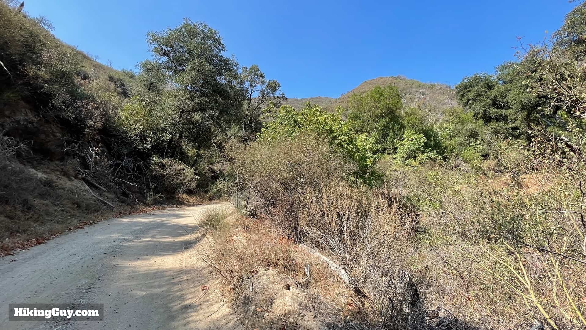
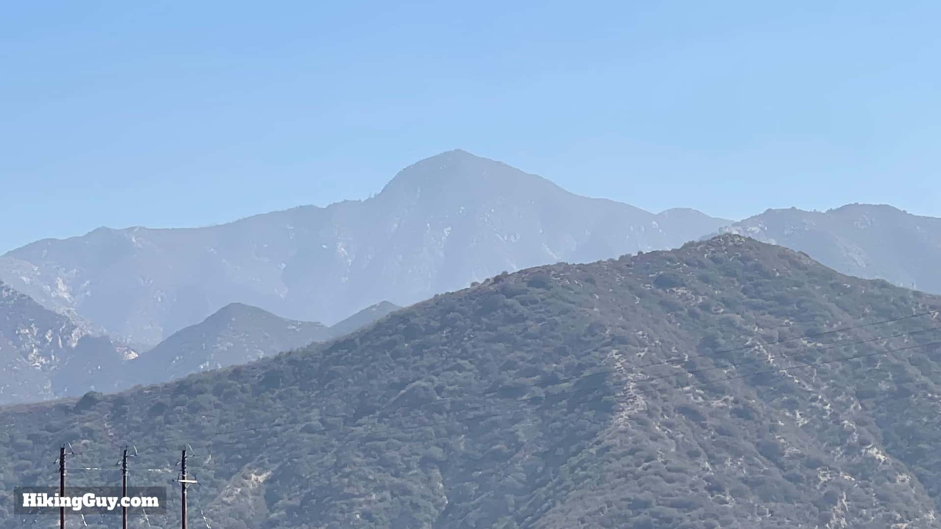
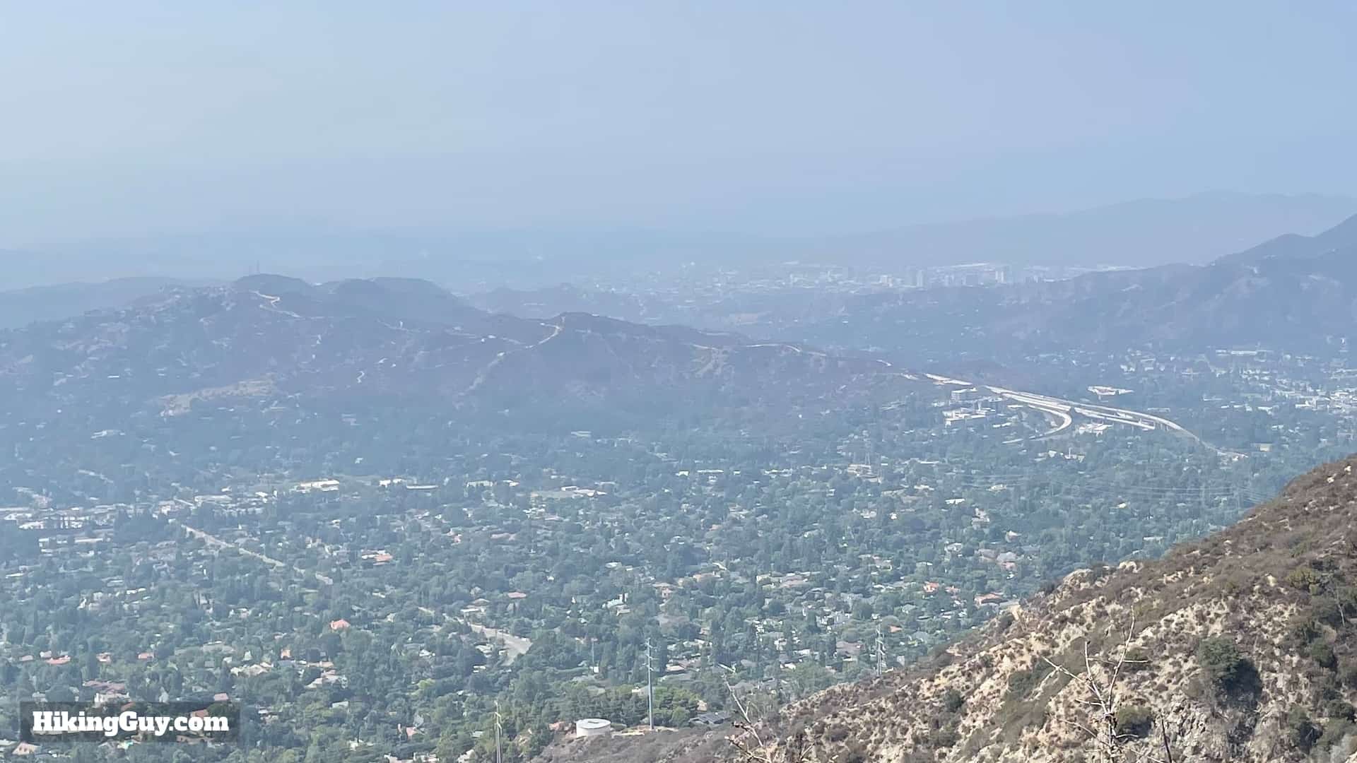
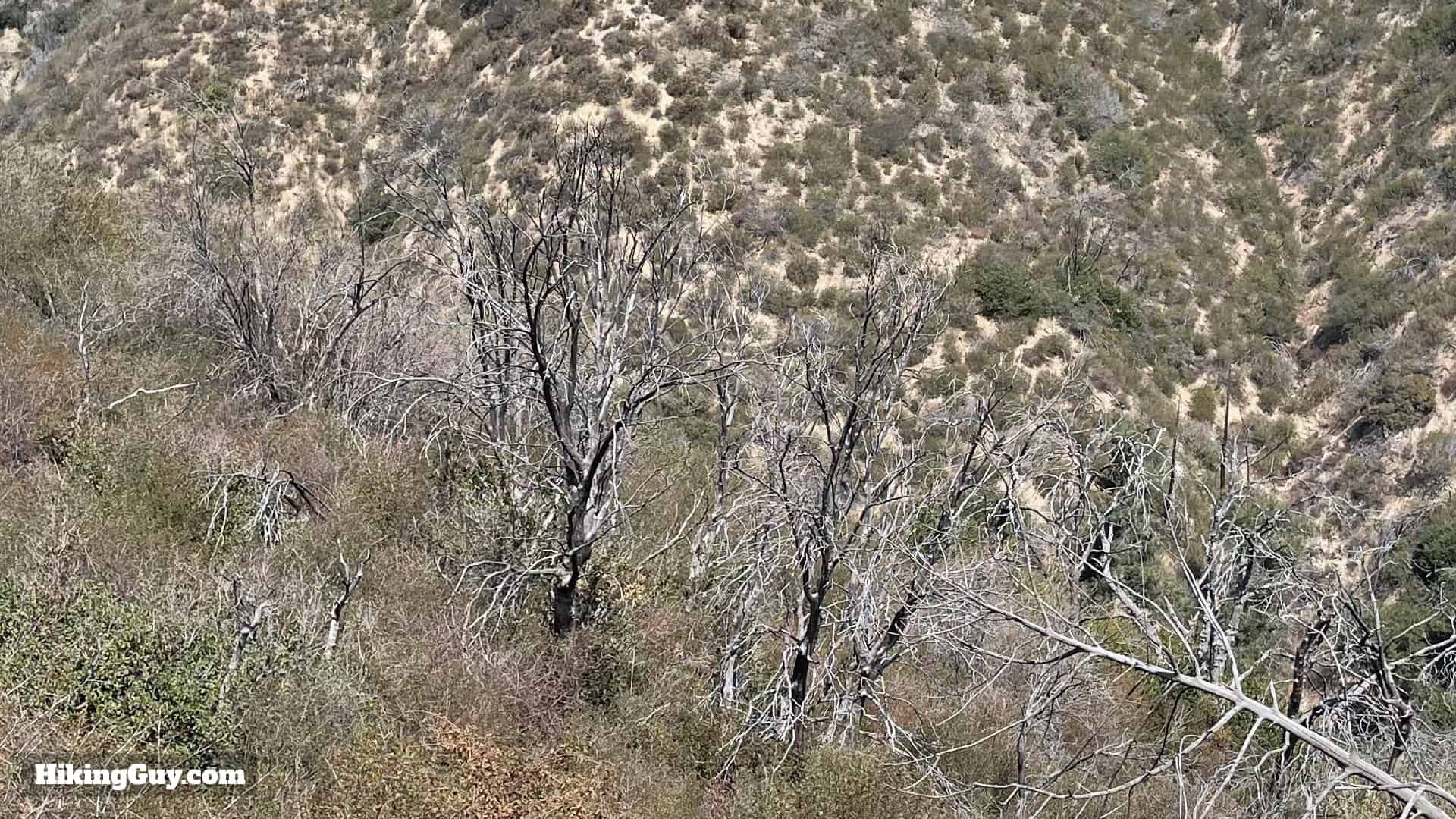
The Teepee Trail is a great hike, but probably not for the reason that you think. Yea, the teepee is cool to visit and great to take photos with, but the climb up to the teepee offers some of the best views into the western peaks of Angeles National Forest that you'll ever see. The hike takes the Mt Lukens Truck Trail up to the teepee, which is uphill, but expertly folded onto the land with switchbacks to make the gradient doable. Overall it's a fun little hike in the foothills of Angeles National Forest.
Where is the Teepee Trail?
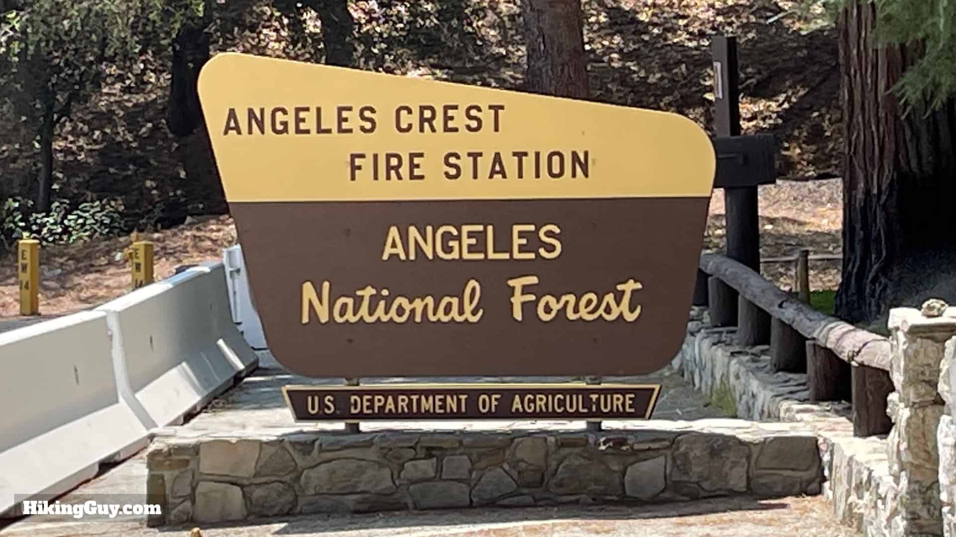
There are a couple of routes to the Teepee, and in this guide I'll show you the most popular (and easiest) route from Angeles Crest Highway (SR-2), which starts across the road from the Angeles Crest Fire Station. Use this address: USFS Angeles Station 11 - Angeles Crest, 5898 CA-2, La Cañada Flintridge, CA 91011
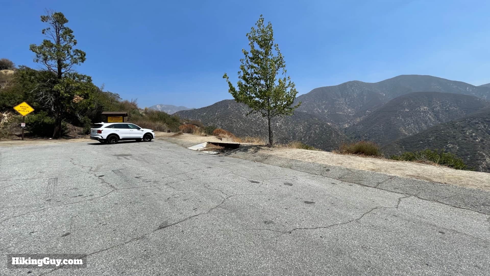
You do not need a parking pass here. There are no facilities or toilets.
Gear For the Hike
This is not a technical hike, but it is uphill and all exposed.
- Fitness clothes or light hiking gear works well here.
- You'll want sun protection and at least 1L of water.
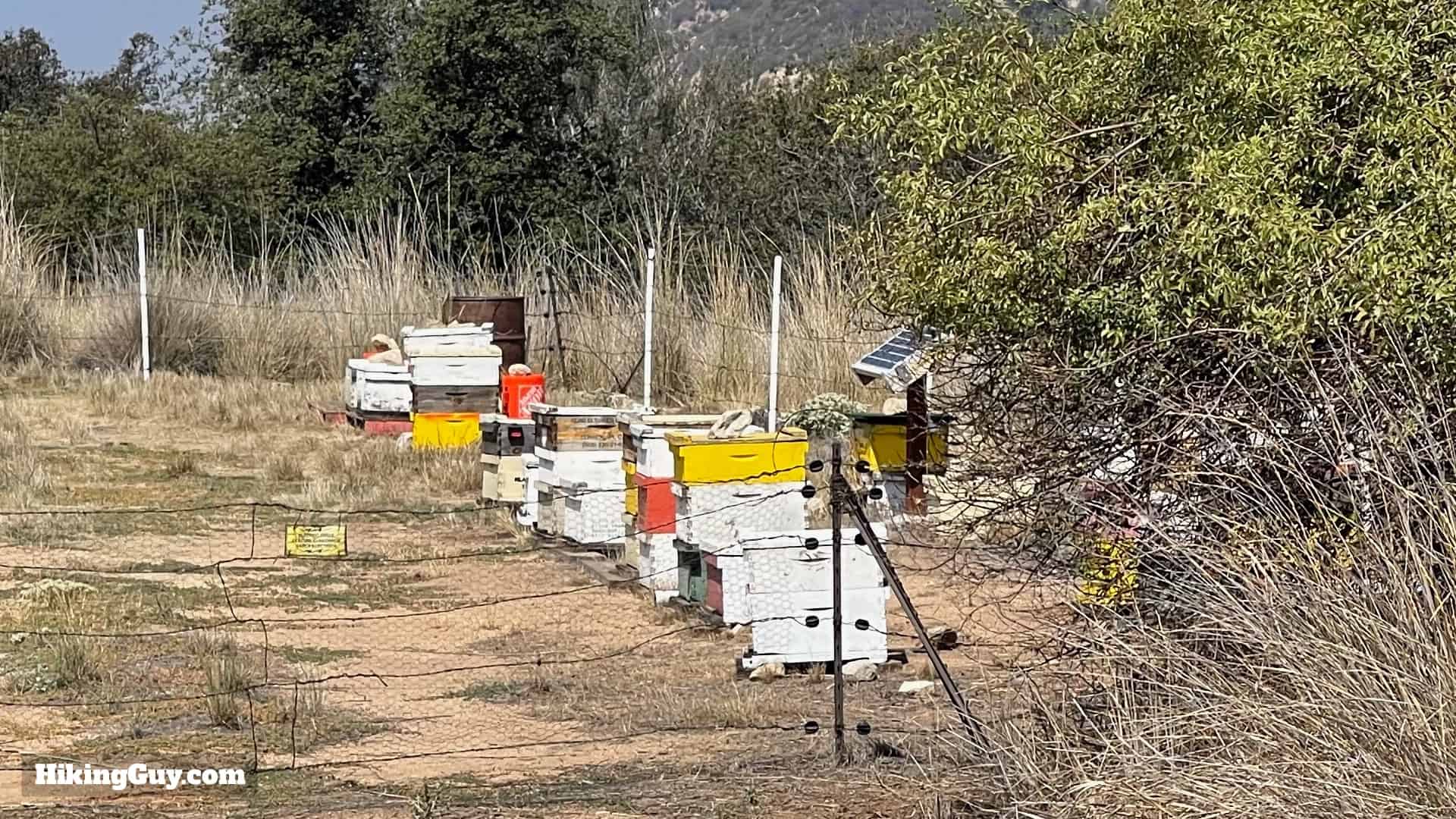
- There are bee hives to pass, so if you are allergic, bring whatever you need to deal with a sting. That said, I've never seen any big swarms of bees, just a few here and there, as you would in any suburban park.
Essentials I’m Using Now
- Garmin inReach Mini 2: Reliable SOS Everywhere on Earth
- Sawyer + CNOC Water Filter: Easy & Reliable Safe Water
- Nitecore NU25 Headlamp: Running late? Get home safe
- Altra Olympus 275: Favorite trail shoes right now, no blisters and very comfy.
- AllTrails Plus (30% off): Offline maps on your phone with the Plus level
- Full December 2025 Gear List →
Teepee Trail Maps
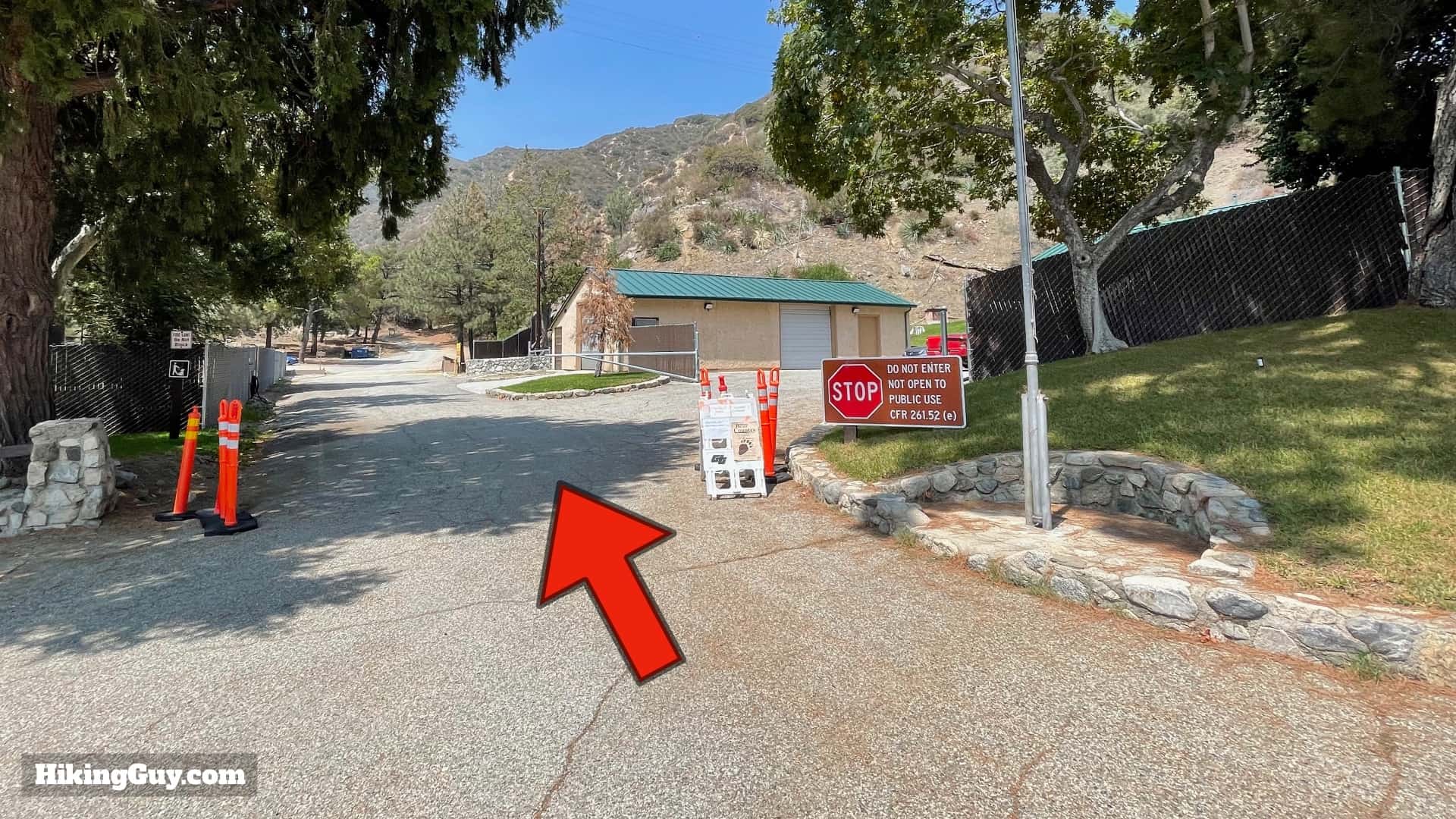
So there isn't actually a "Teepee Trail," you hike up the (dirt and closed to the public) Mt Lukens Truck Trail. While the road might not be a pristine single-track trail, it does offer incredible views of the mountains around every turn, so focus on that.
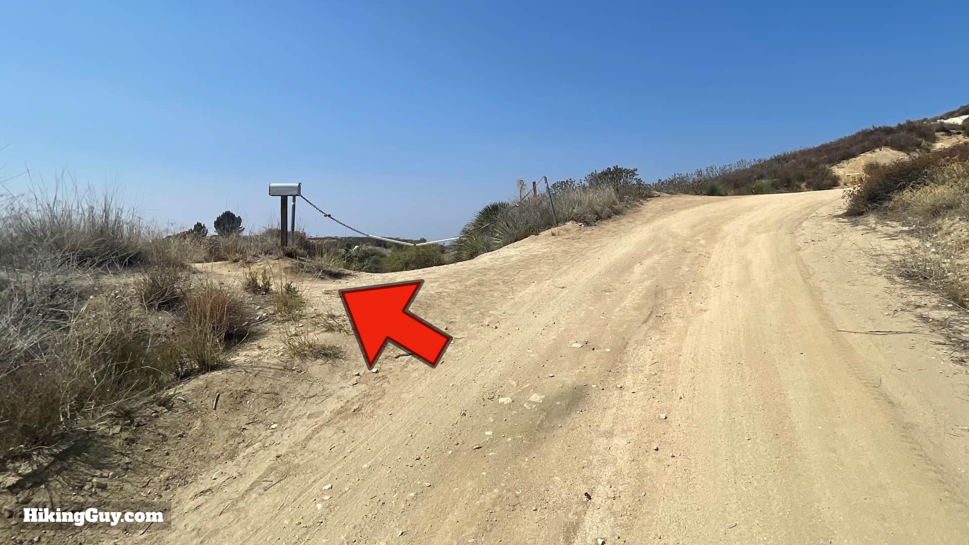
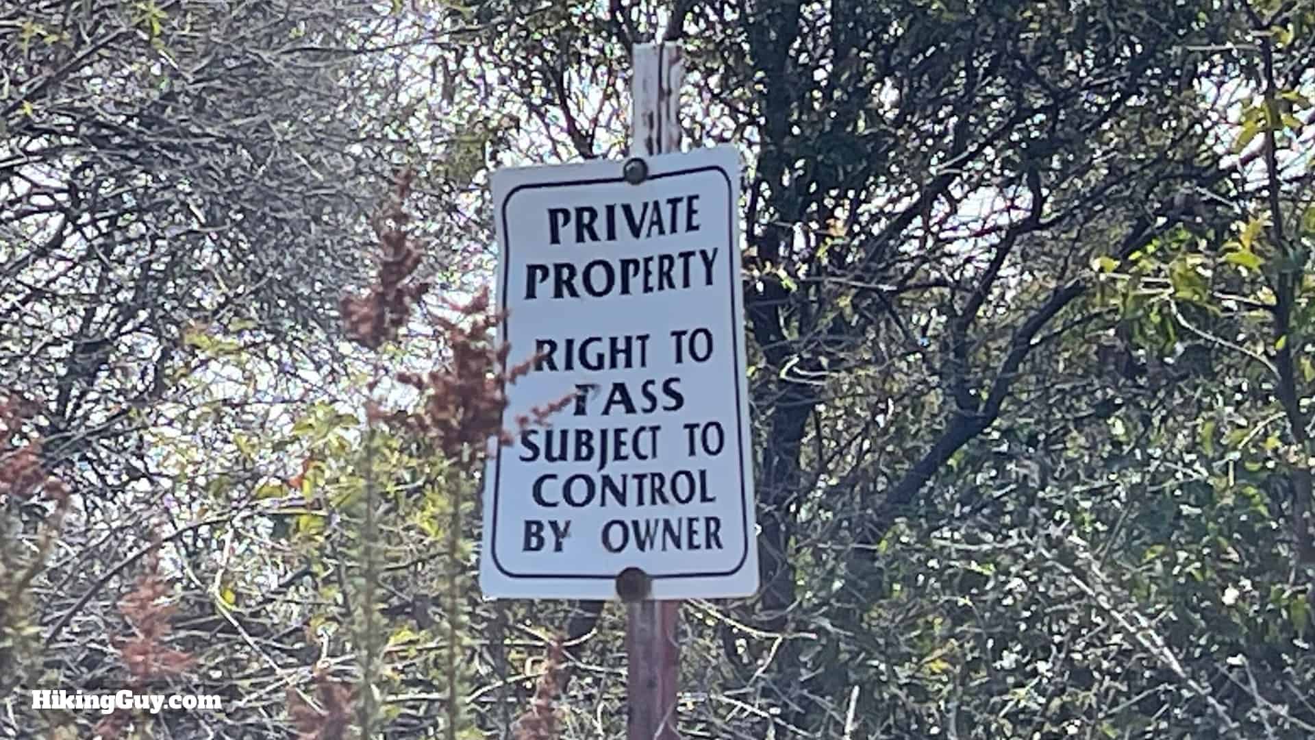
The hike starts in Angeles National Forest, but then enters land owned by Pasadena, and then private property (more later).
Elevation Profile

3D Map

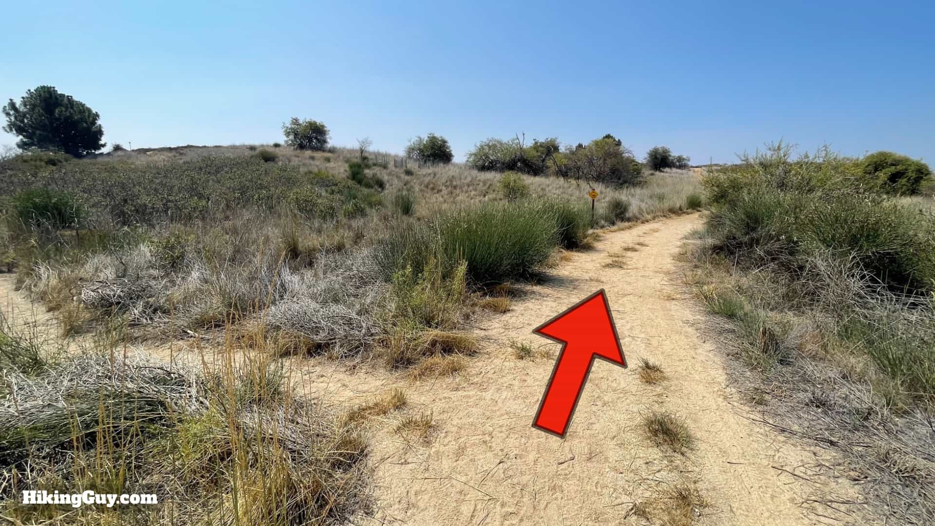
Teepee Trail Hike Directions

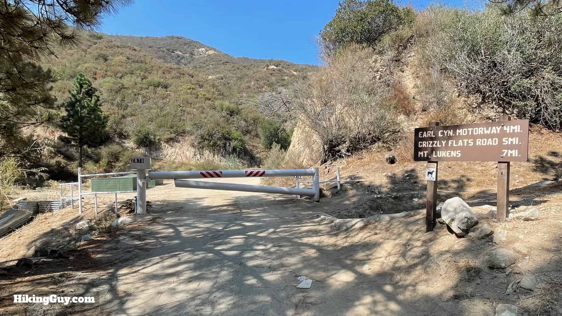
There can occasionally be trucks on this road, driving up to service one of the many antennae on the summit of Mt Lukens.


After the gate, you are entering private property. The owners of this land built the teepee and allow hikers to RESPECTFULLY visit. Please keep this in mind as you hike here.


Where's the canvas on the teepee? When there is fire danger, the owners take the canvas off.
The teepee is private property, build by the landowners. Please be respectful here. Don't hang on it, mark it, or do anything to it.


Once you're done at the teepee, just hike back the way you came.