Potato Mountain Hike (Angeles National Forest)
Hike Stats
- Total Distance
- 4.5 miles
- Time
- 2 Hours
- Total Climbing
- 1270 feet
- Difficulty
- Moderate
- Crowds
- Moderate
- Dogs
- Leashed
- Gear
- What I Use
- Weather
- Latest Report
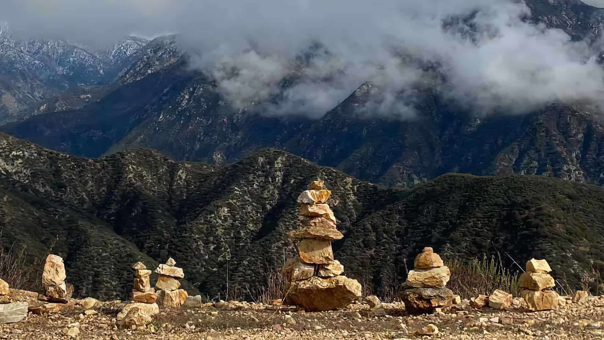
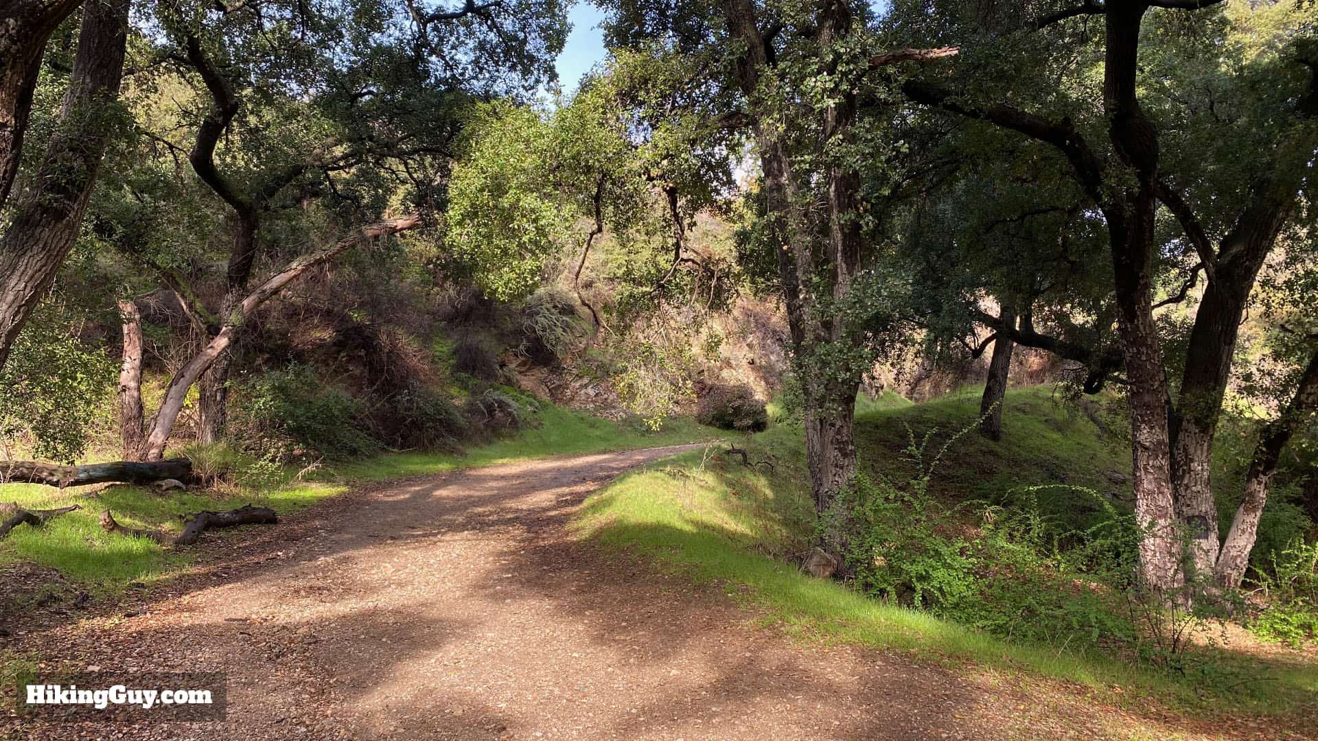
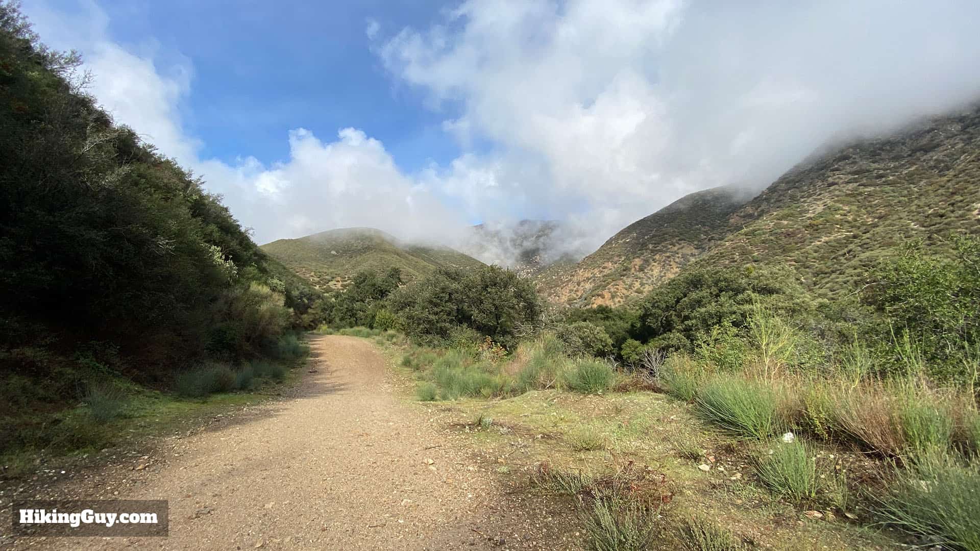
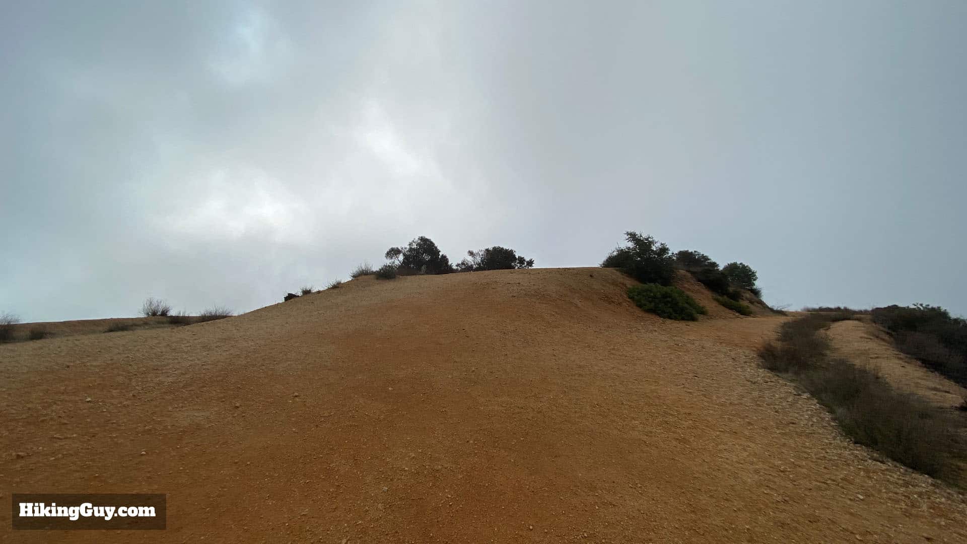
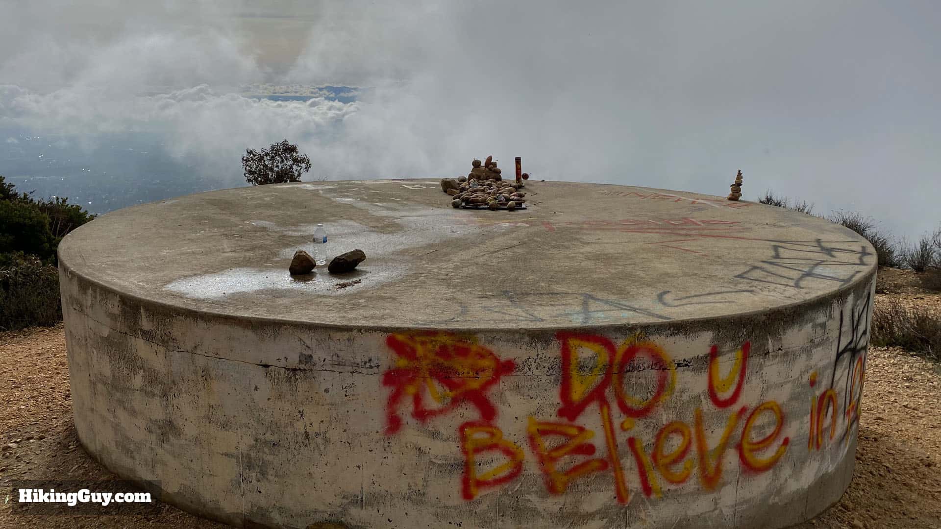
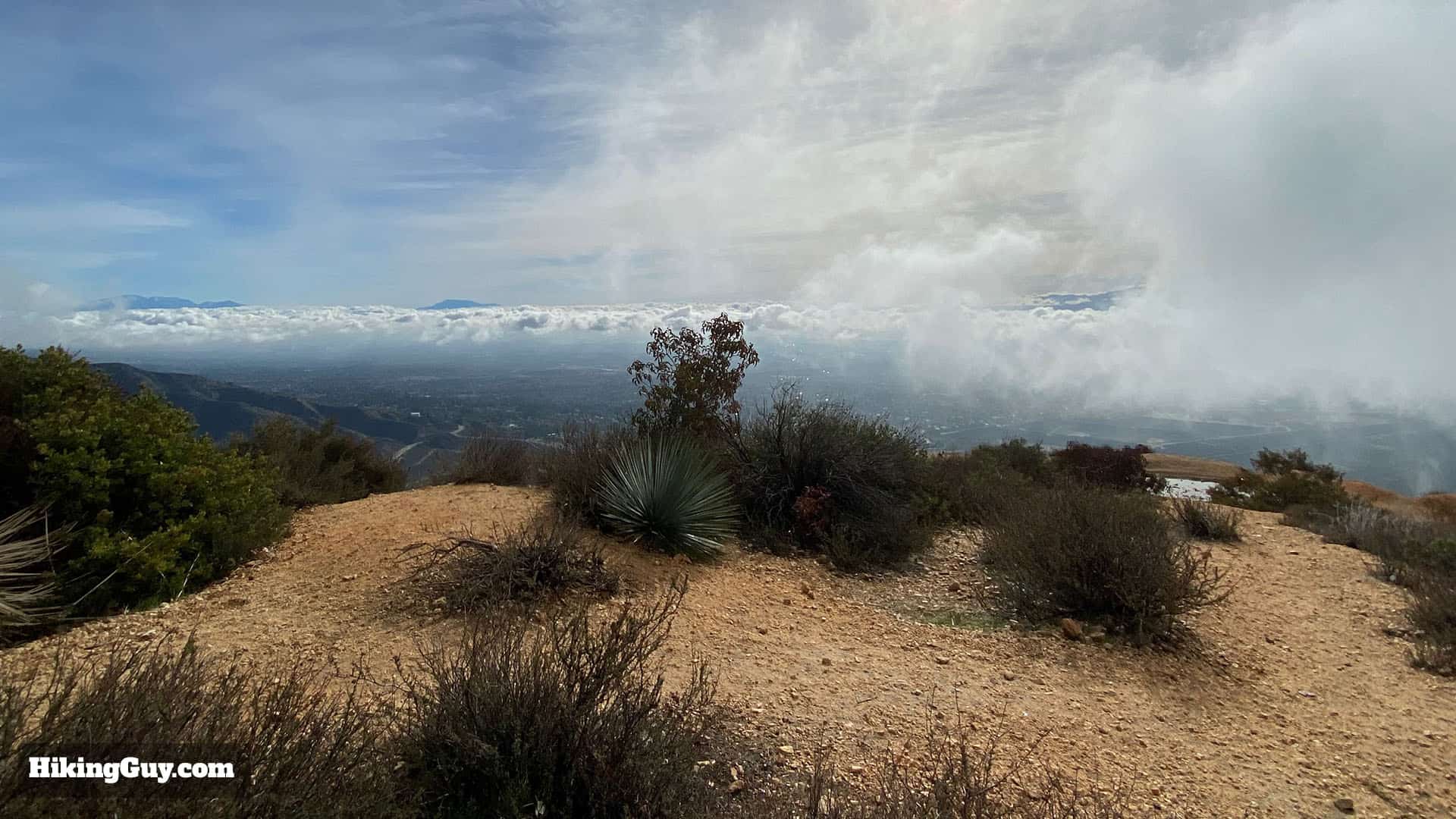
For a quick mountain fix without driving into the mountains, try the Potato Mountain hike, right at the beginning of Angeles National Forest. It's a moderate climb through some beautiful oak forests. The hike ends at the Potato Mountain summit, which offers views of the high peaks in Angeles NF, including Mt Baldy. And of course, there are the potatoes that everyone decorates and brings to the summit. It's a fun hike that especially great for beginners who want to train or get a taste for the bigger mountain peaks.
How Do I Get to Potato Mountain?
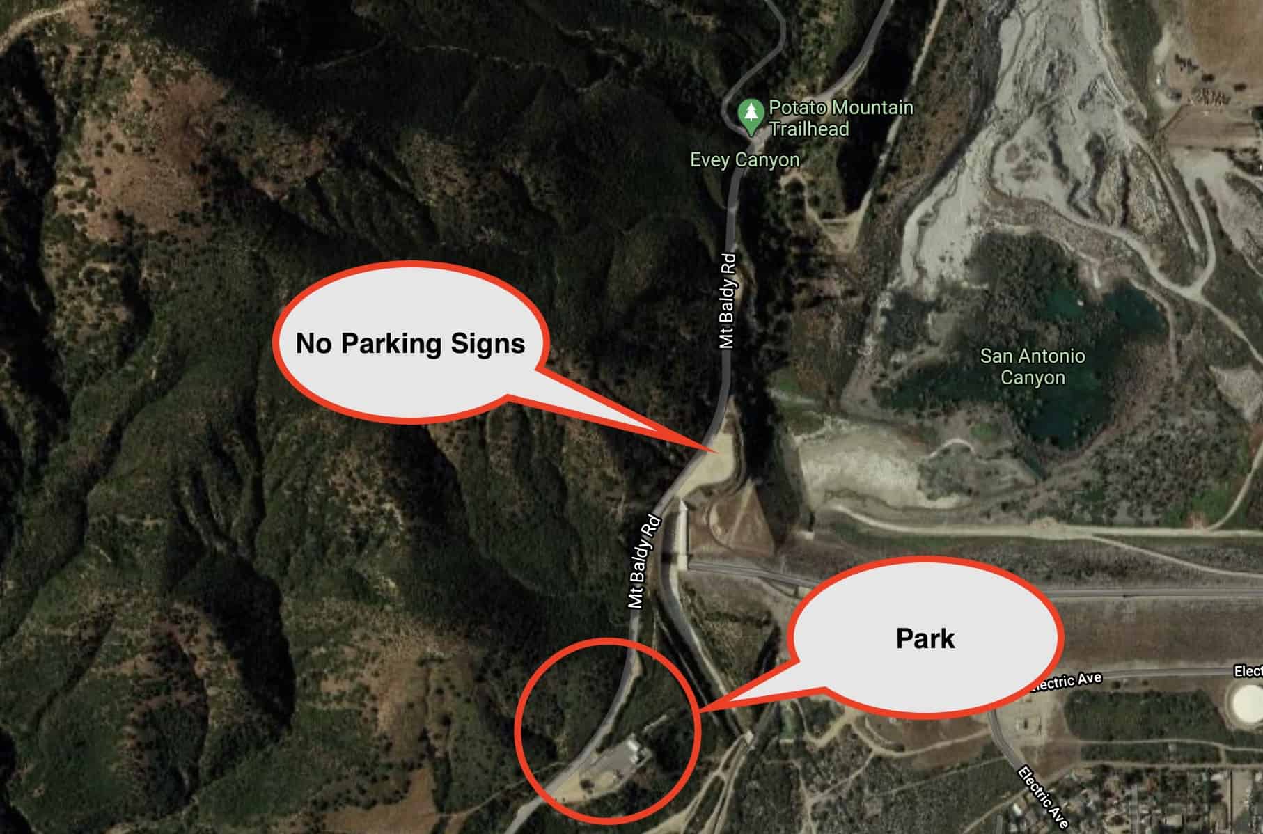
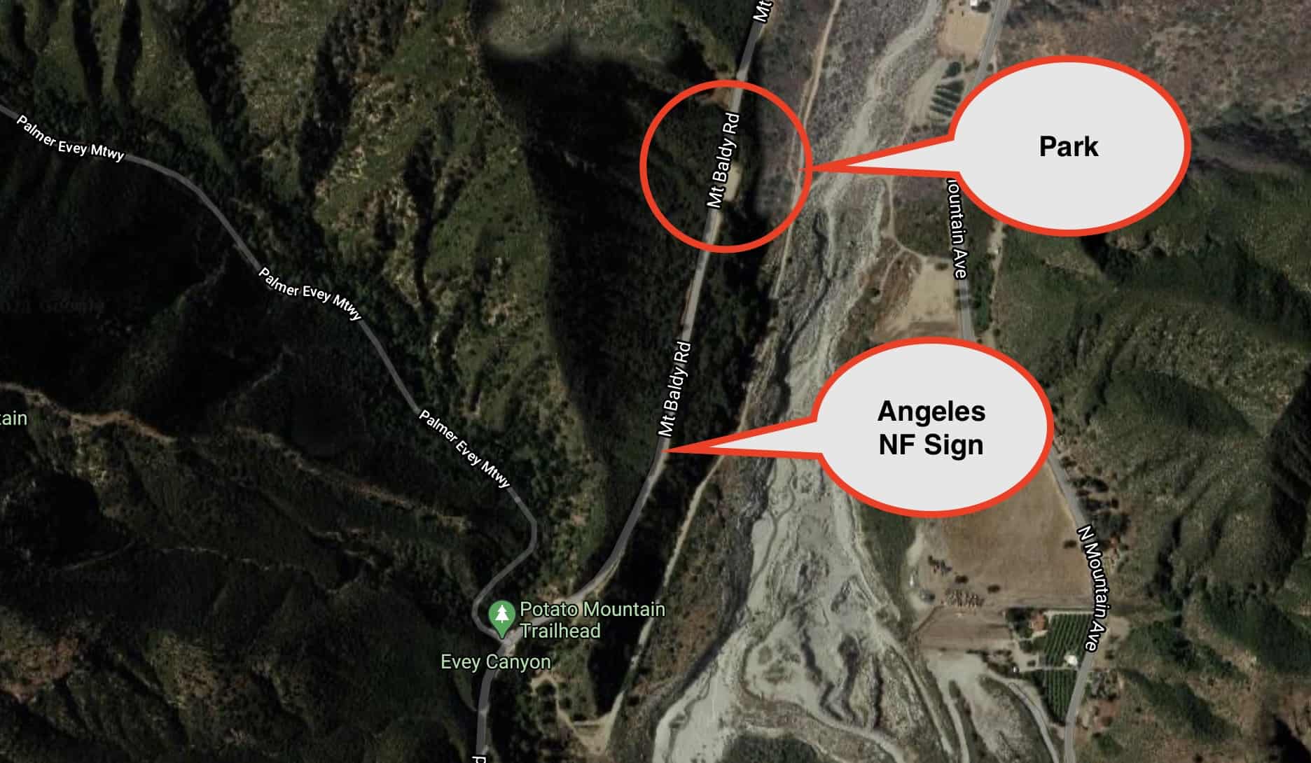
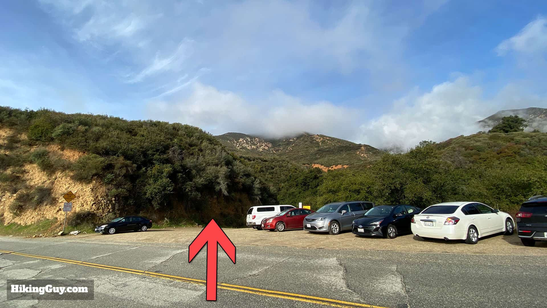
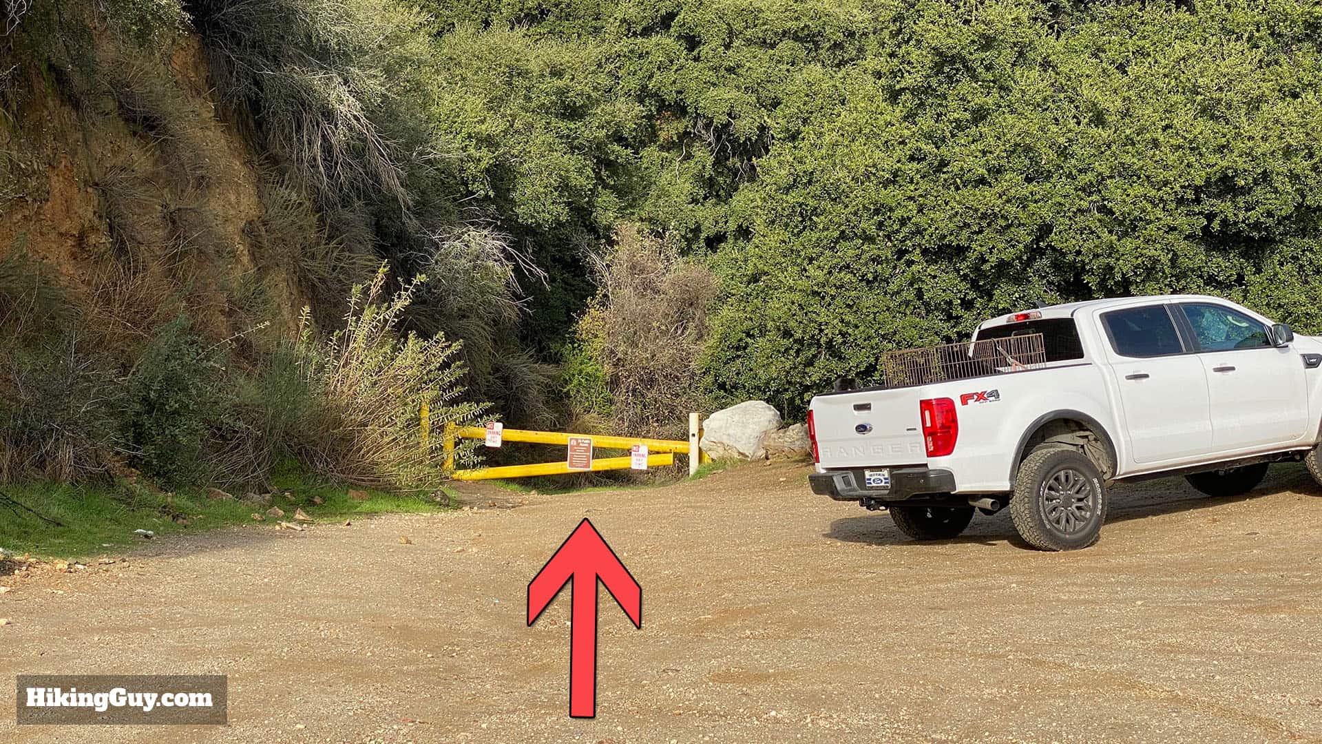
The trailhead for Potato Mountain is unmarked along the side of Mt Baldy Road. It's about 0.7 miles after you pass the last housing development on Mt Baldy Road. After the housing development, about 0.5 miles up the road, you'll pass a huge dirt area on your right. Shortly after that (0.2 miles) you'll see another area with parking on either side of the road, which is the trailhead.
The City of Claremont has not been too kind when it comes to parking for hikers. There are a few big parking lots close to the trailhead, and they've put "No Parking" or "No Stopping" signs in them because of excessive vandalism and thefts in parked cars. So what you have to do is park a few minutes up or down the road and walk to the trailhead, which can be dangerous, so be careful.
Use this address:
Potato Mountain Trailhead, Claremont, CA 91711
Don't park in front of the trailhead. People are getting ticketed there.
There are no bathrooms anywhere on the hike.
Gear for the Hike
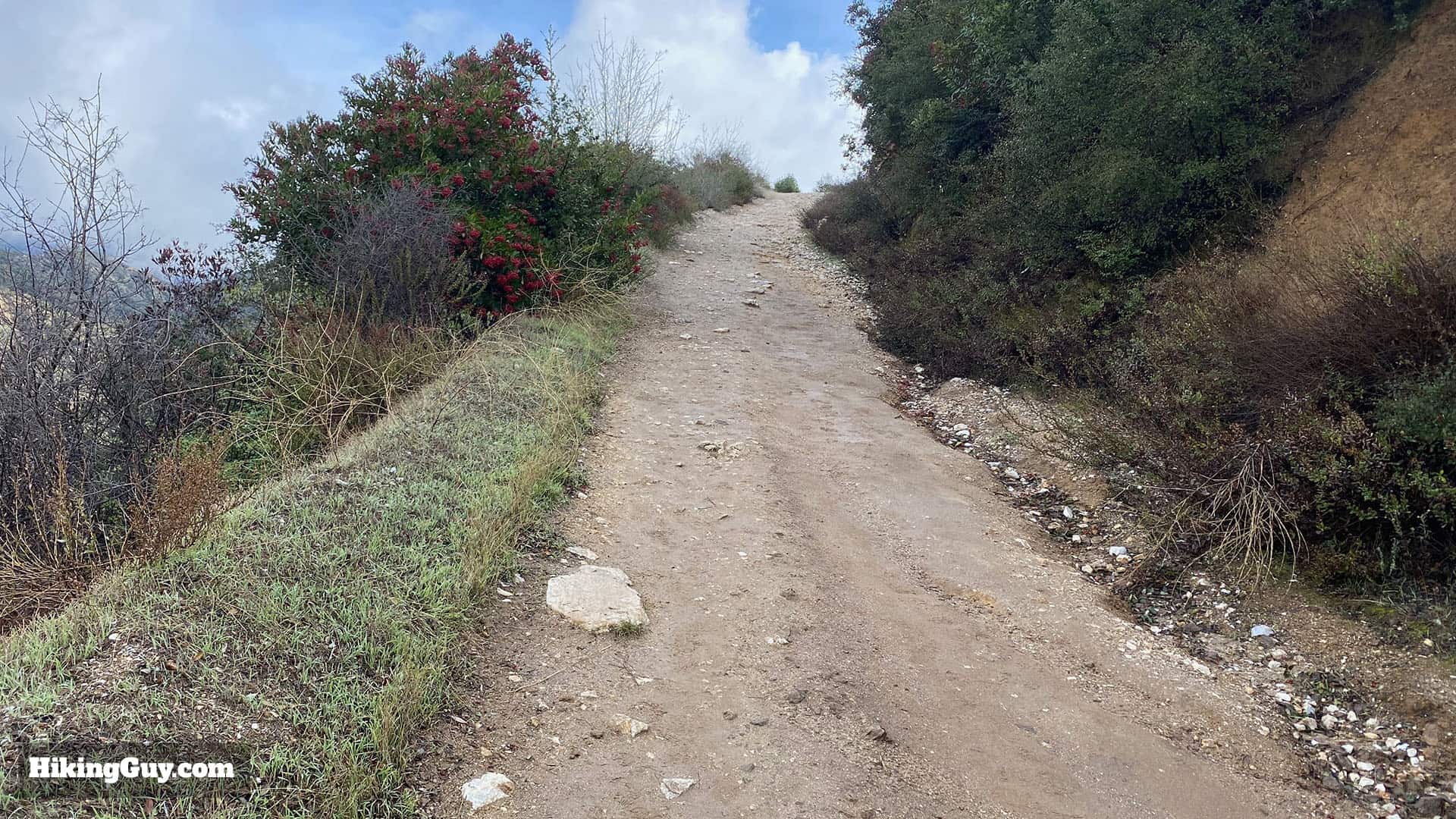
The trail is wide (a fire road) and easy to follow. Light hiking gear is ideal, but you can get away with fitness clothes too. Trekking poles will be helpful on the steep sections. In the summer it can get really hot, bring at least 1L of water.
Essentials I’m Using Now
- Garmin inReach Mini 2: Reliable SOS Everywhere on Earth
- Sawyer + CNOC Water Filter: Easy & Reliable Safe Water
- Nitecore NU25 Headlamp: Running late? Get home safe
- AllTrails Plus (30% off): Good All-Around Hiking App
- Full October 2025 Gear List →
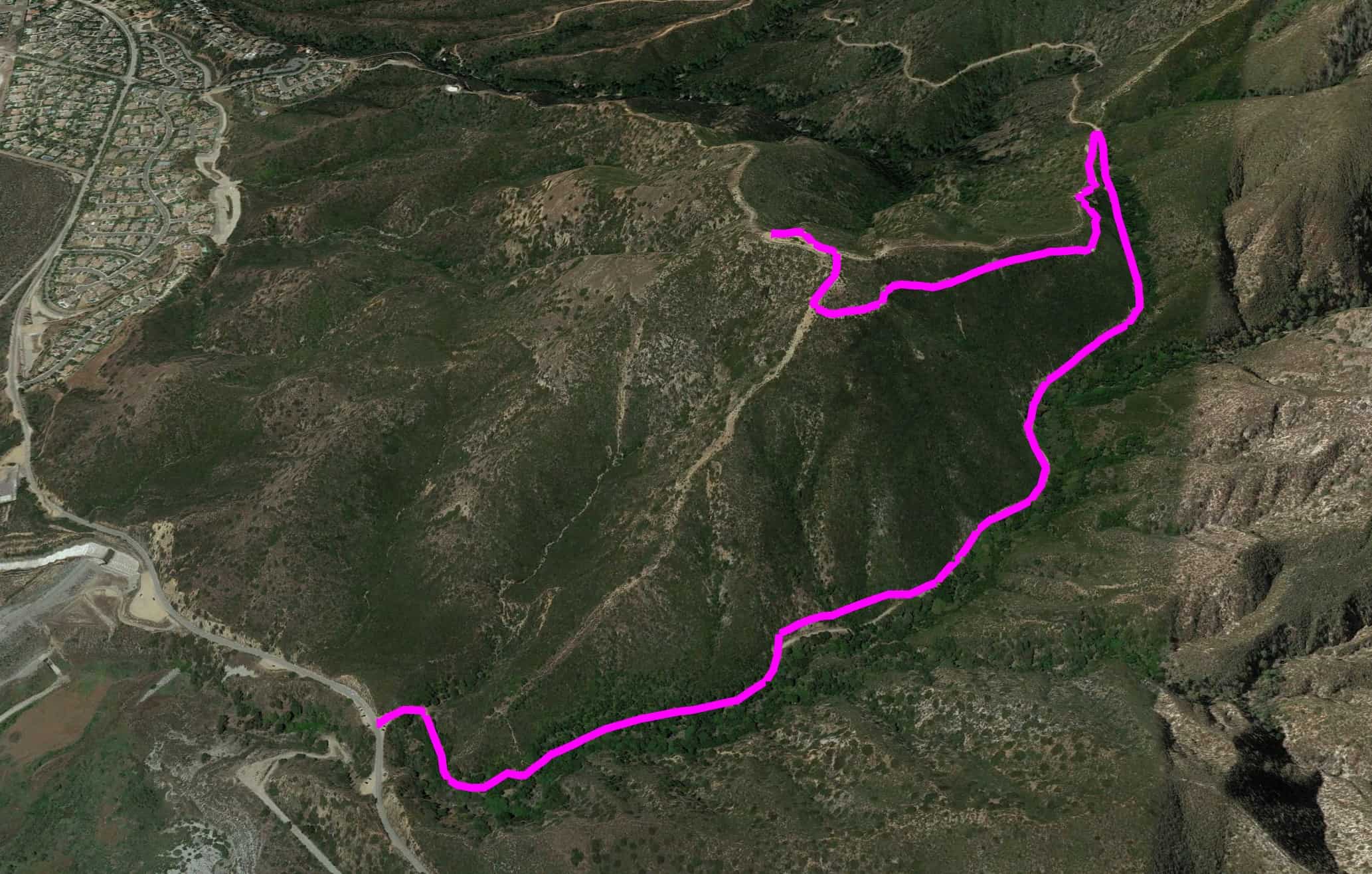
Potato Mountain Trail Maps
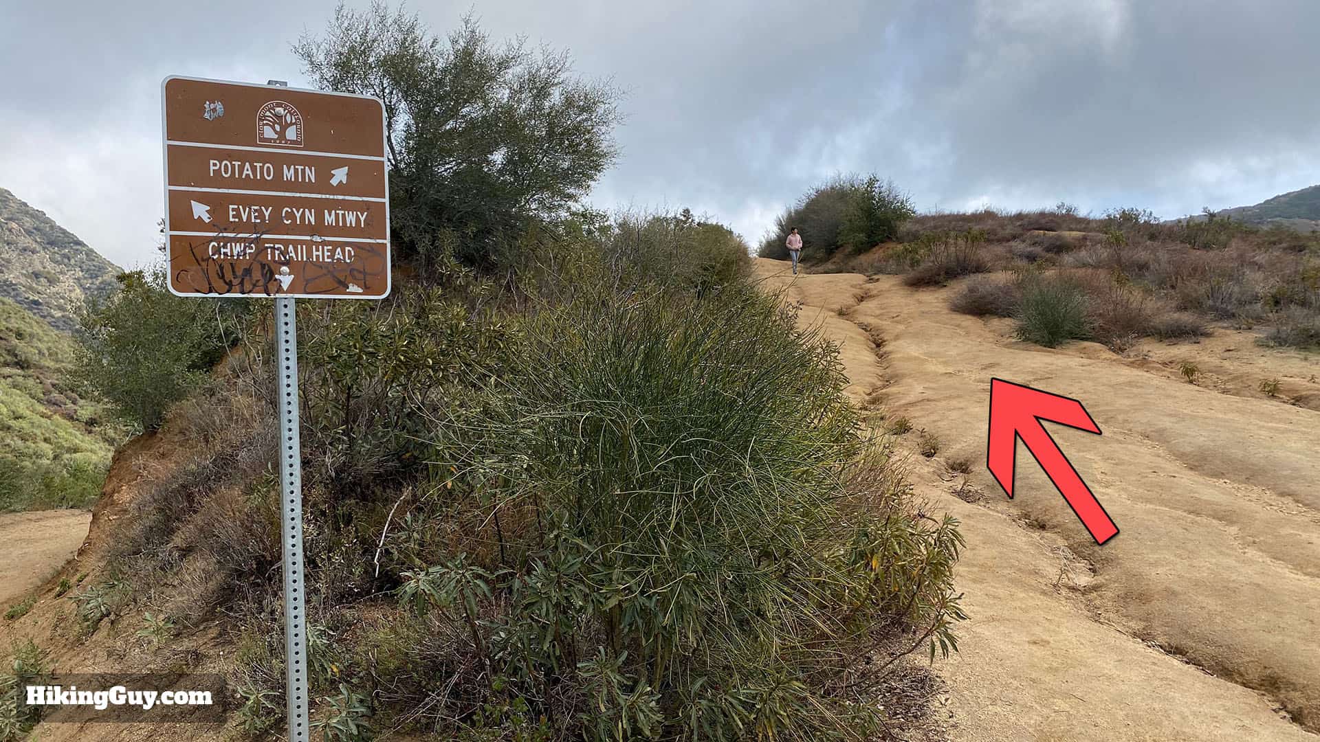
There are a few ways to climb Potato Mountain, and this route describes the most popular route from Evey Canyon.
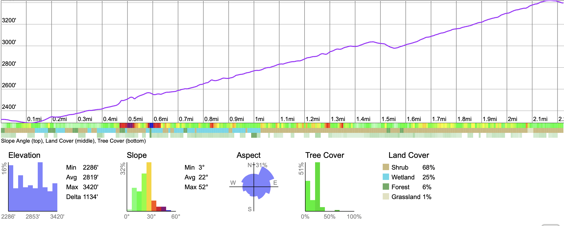
Elevation Profile
3D Map
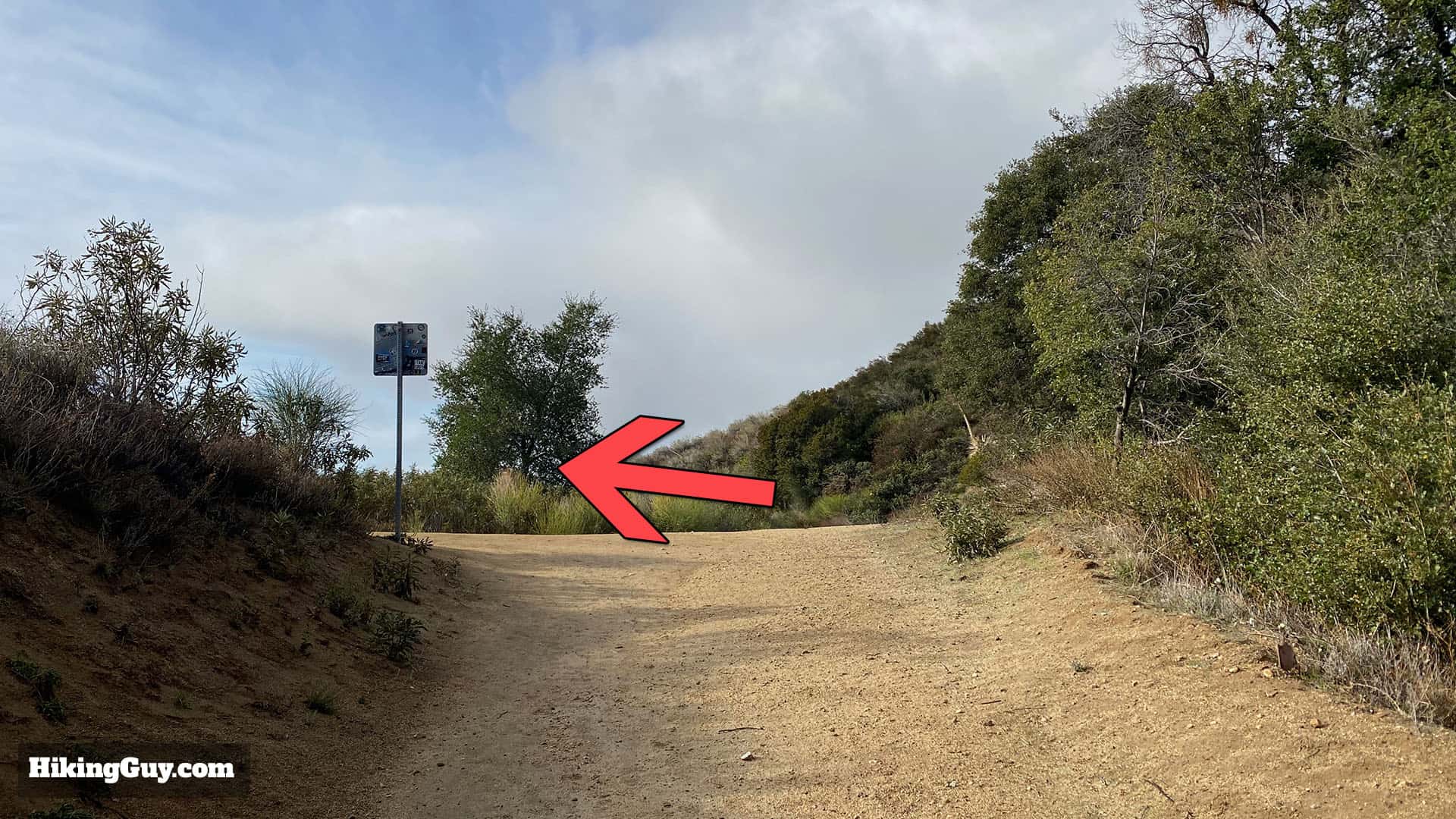
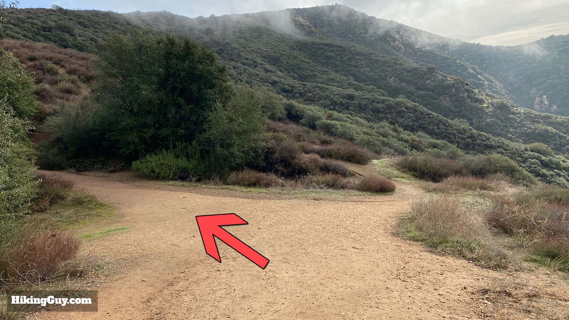
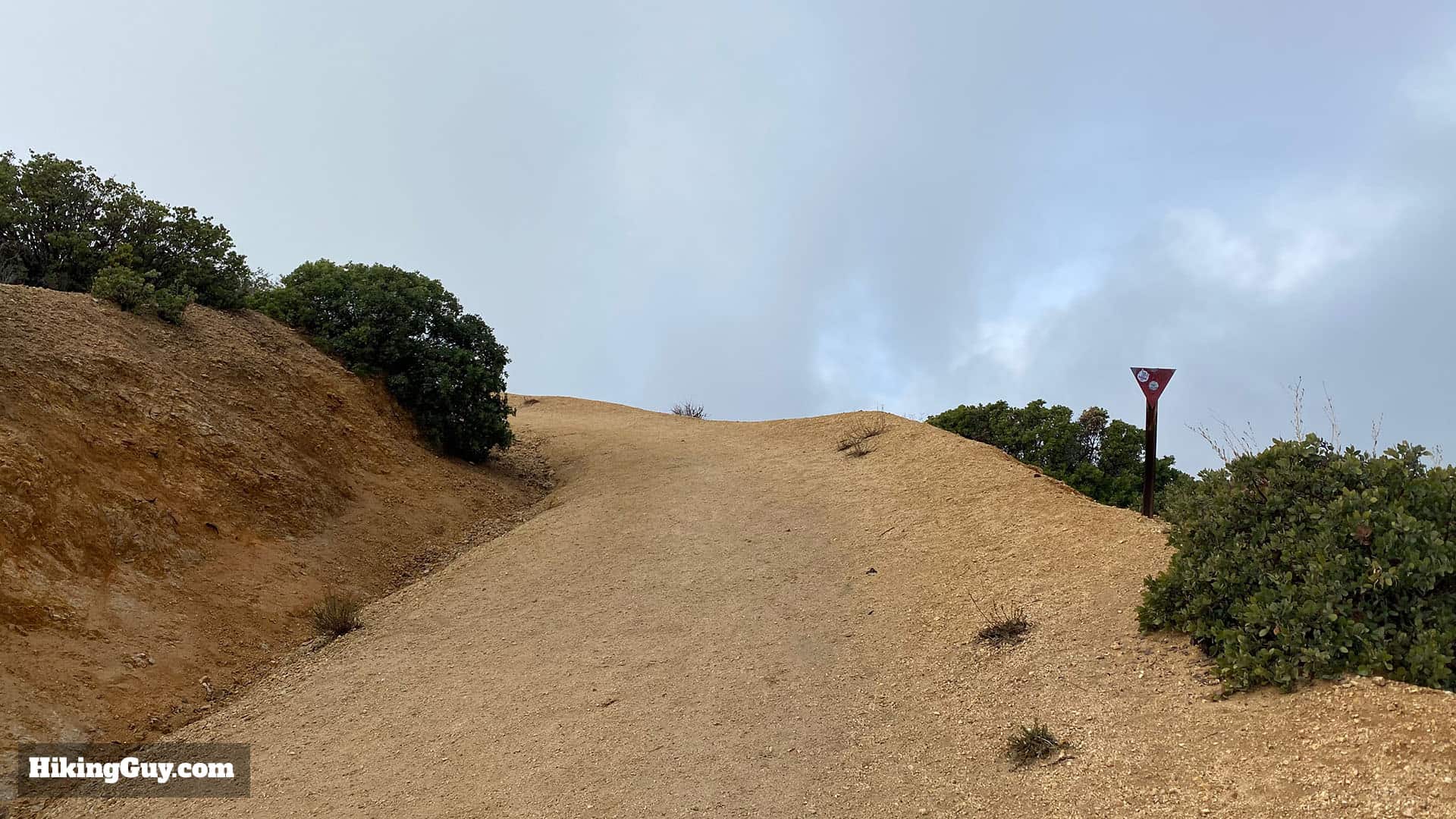
Potato Mountain Hike Directions
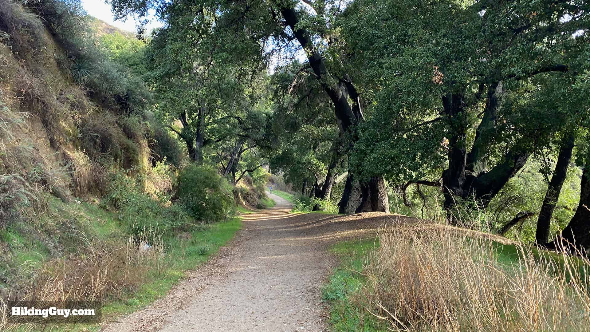
The trails you are on are part of a few park areas. Overall you're in Angeles National forest, but you are also in Claremont Hills Wilderness Park and the (ex) Herman Garner Biological Preserve. This area was saved from development by Herman Garner, who donated it to the Pomona College biology department on condition that it remain pristine wilderness. In 2017 the college gifted it to Claremont Hills Wilderness Park.


Originally published January 20, 2020