Dripping Cave Trail Hike
PLAY VIDEO

Dripping Cave Trail Hike

Distance: 5 miles
Time: 2 Hours
Total Climbing: 400 feet
Difficulty: Easy
Crowds: Moderate
Dogs: No Dogs

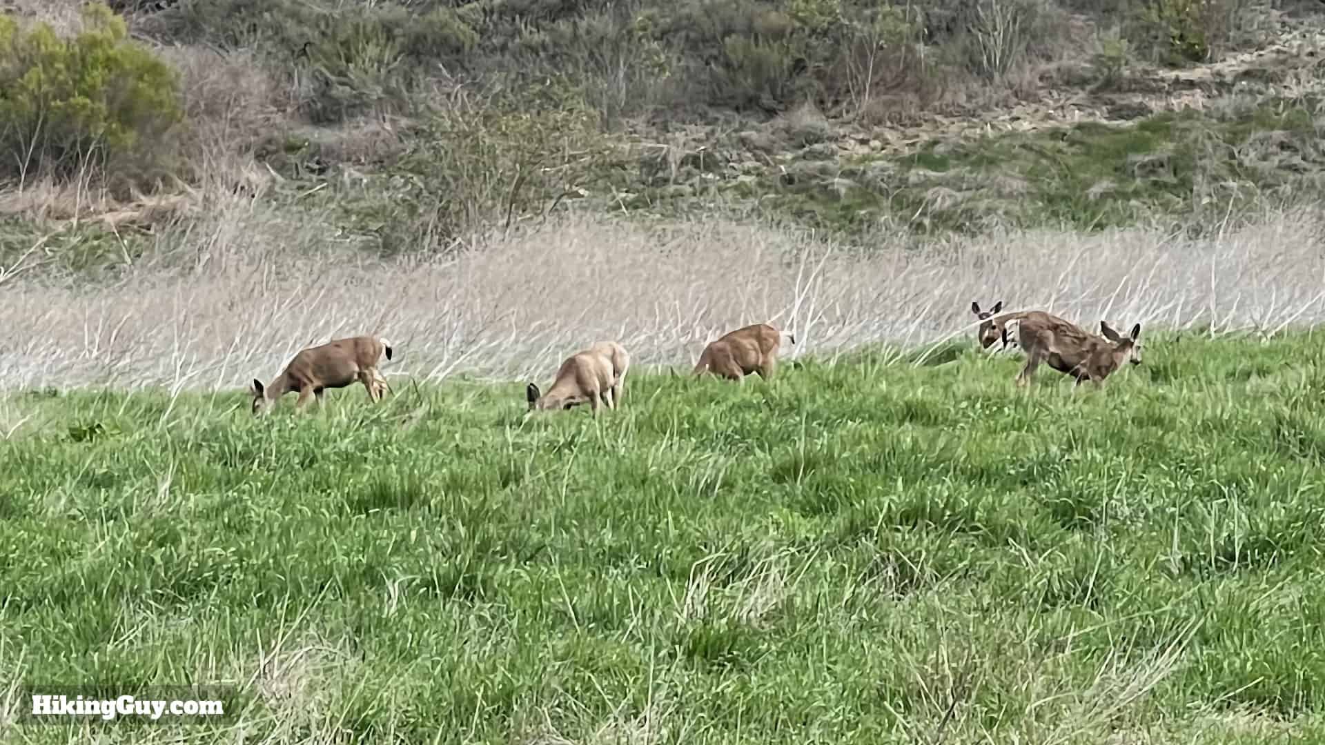
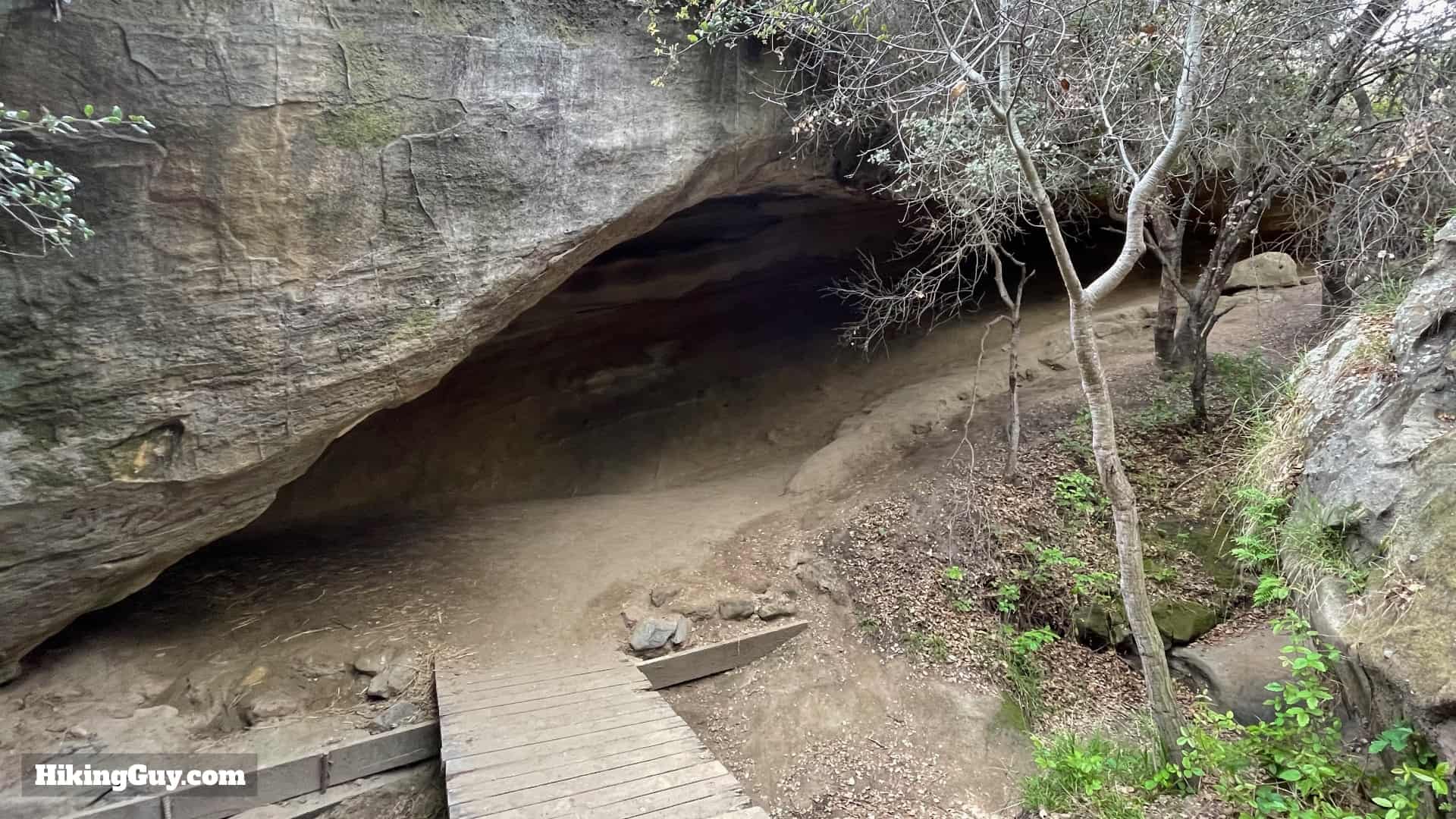
Tucked away in Aliso and Wood Canyons Wilderness Park, just minutes from Laguna Beach, the Dripping Cave Trail is one of the most fun and easiest hikes in Orange County. Dripping cave, used by native peoples and later bandits, is huge, open, and fun to explore. The park is rich with natural beauty and wildlife, and on the way to Dripping Cave, we'll visit Cave Rock, another cool rock formation hidden away from the busier trails. This five-mile hike is mostly flat, easy to follow, and family-friendly.

Where is the Dripping Cave Trail?

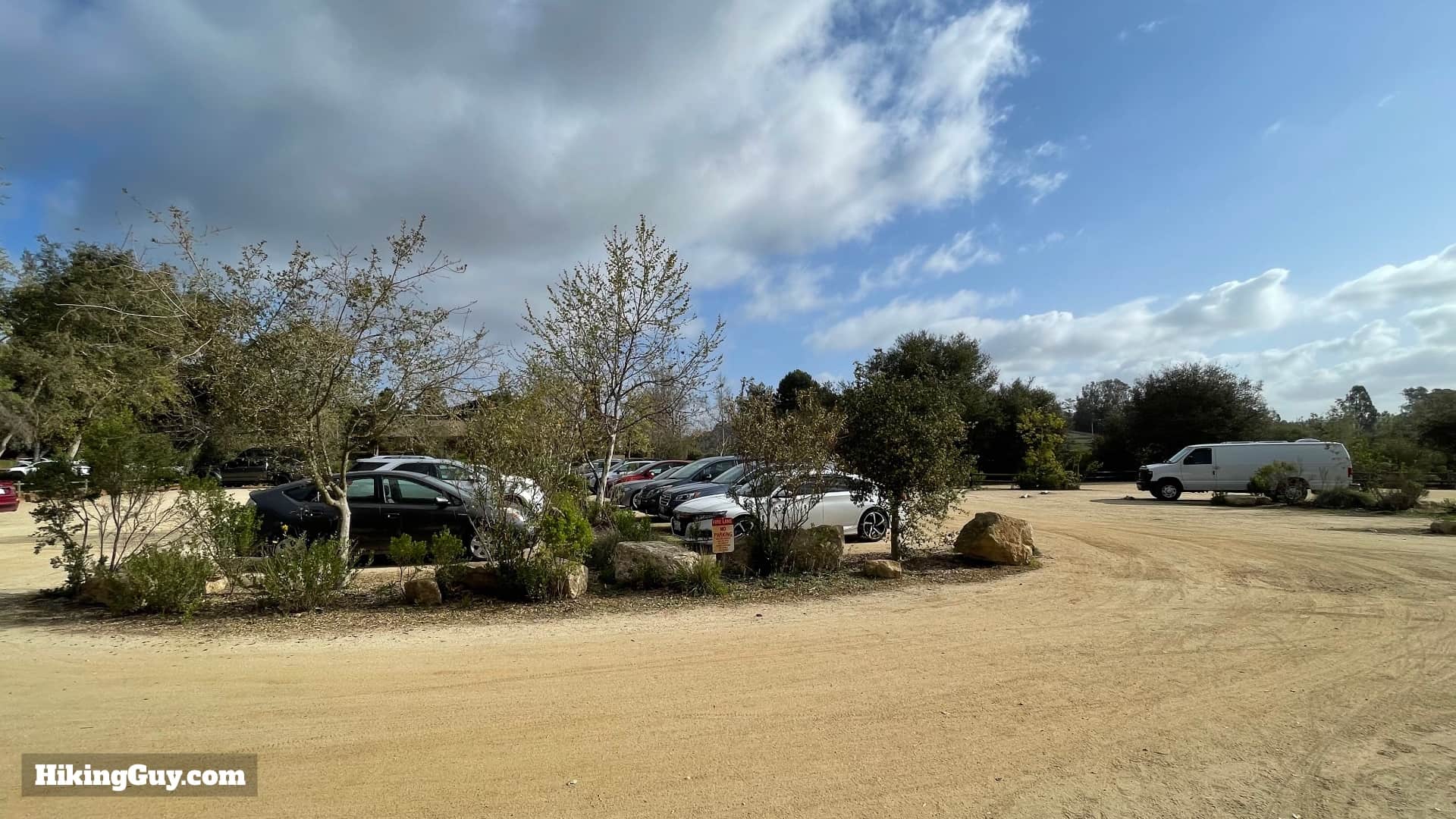
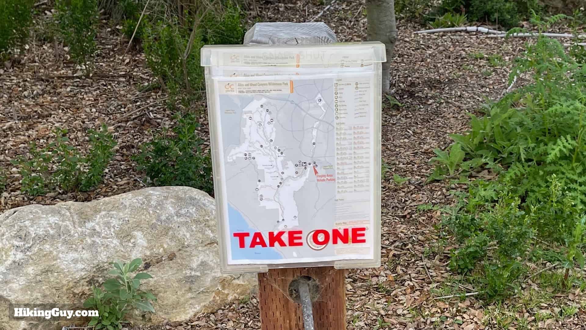
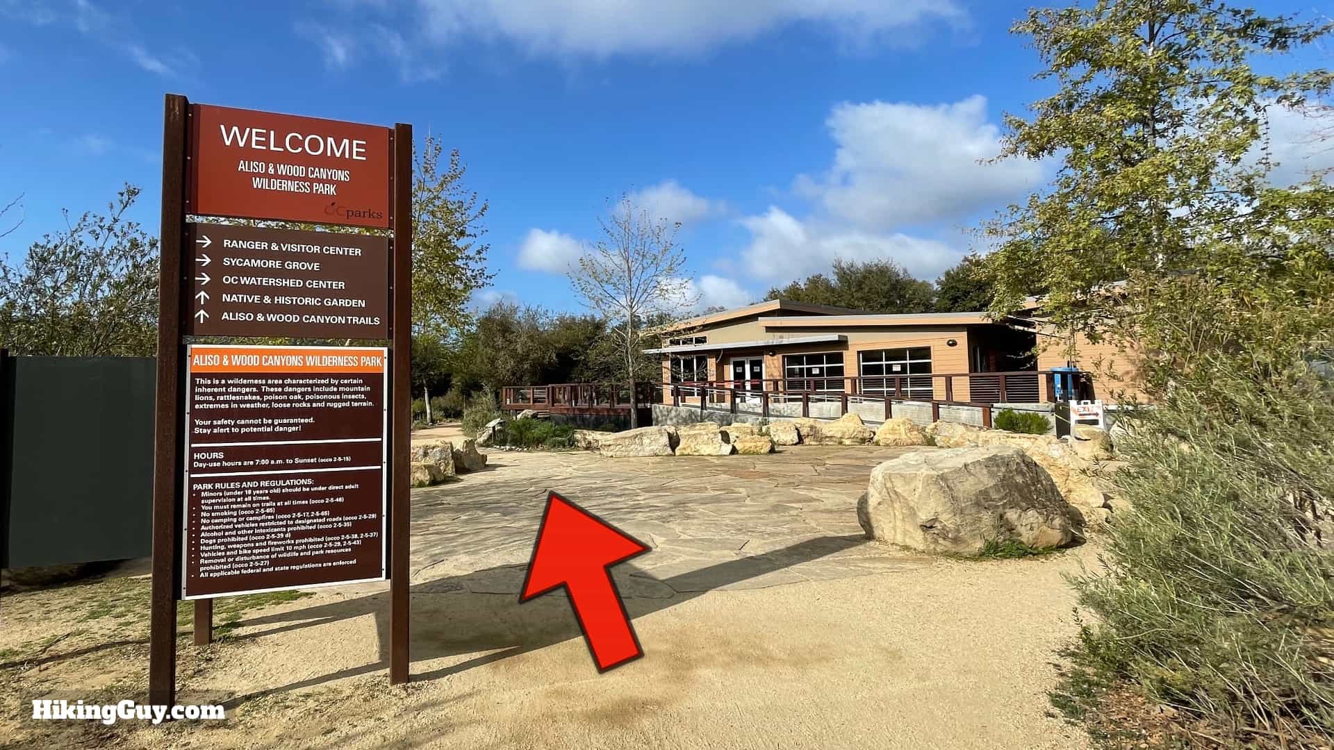
The Dripping Cave Trail is in Aliso and Wood Canyons Wilderness Park. The park has over 30 miles of trails, and there are many ways to get to the caves, but the route I'll show you here is the most popular and the easiest. Use the official trailhead at:
Aliso and Wood Canyons Wilderness Park, 28373 Alicia Pkwy, Aliso Viejo, CA 92656

Dripping Cave Trail Directions 3
The parking lot is large, but it is a popular spot and is occasionally full.
Dripping Cave Trail Directions 5
Pay for parking at the meter and then leave the ticket on your dashboard.
Dripping Cave Trail Directions 4
Check the park website to confirm the park's opening hours.

There are bathrooms at the trailhead and also about half-way to the Dripping Cave.

Gear For the Hike

This is an easy hike that can be done in fitness clothing or light hiking gear. In the summer it can be very hot. I bring 0.5L of water with me.

Gear I Love Right Now

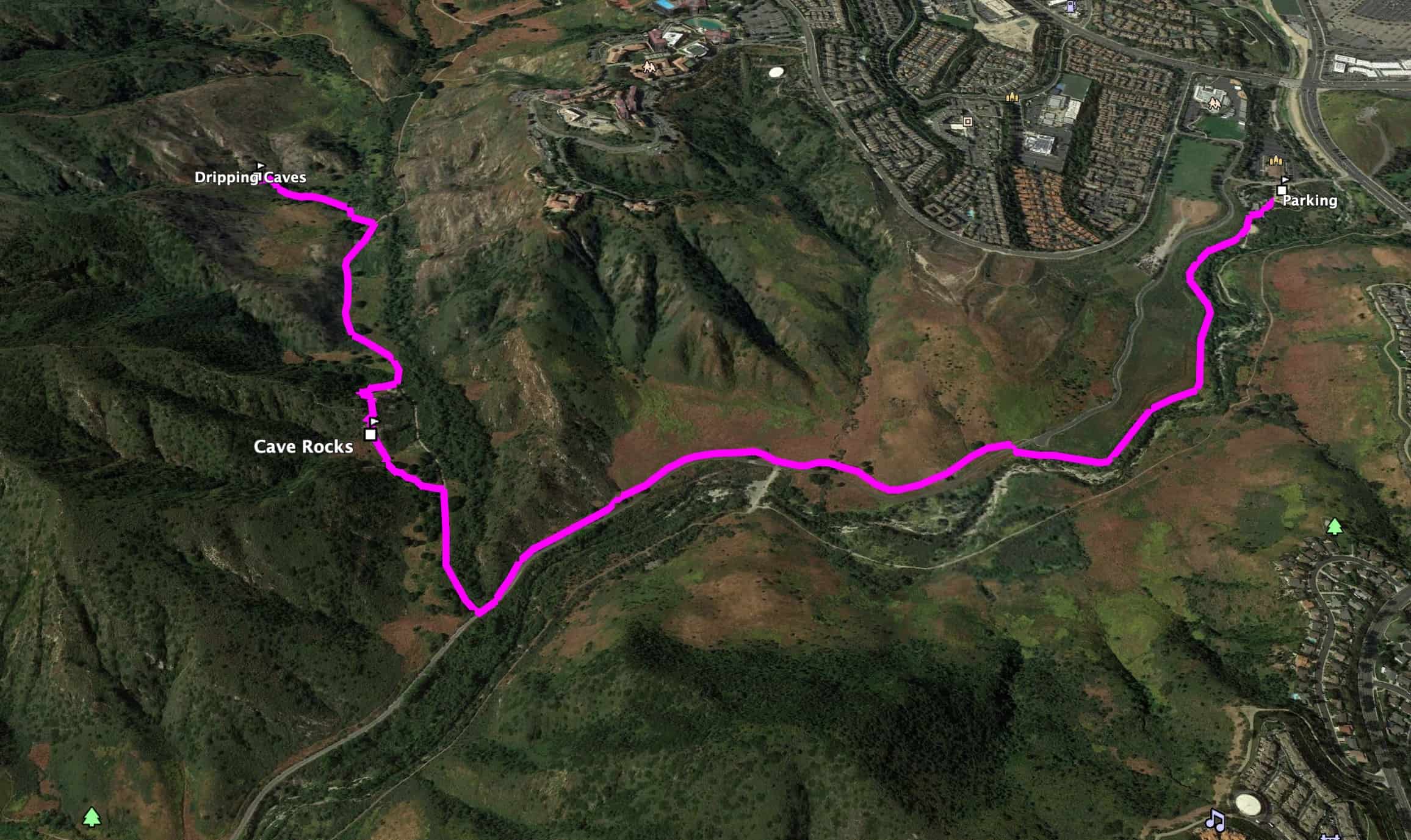
Dripping Cave Trail Maps

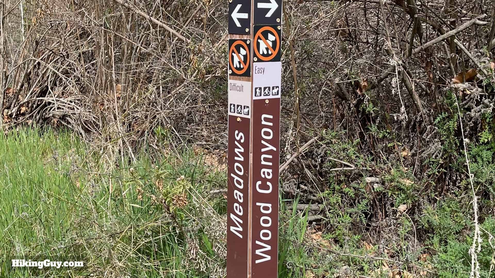
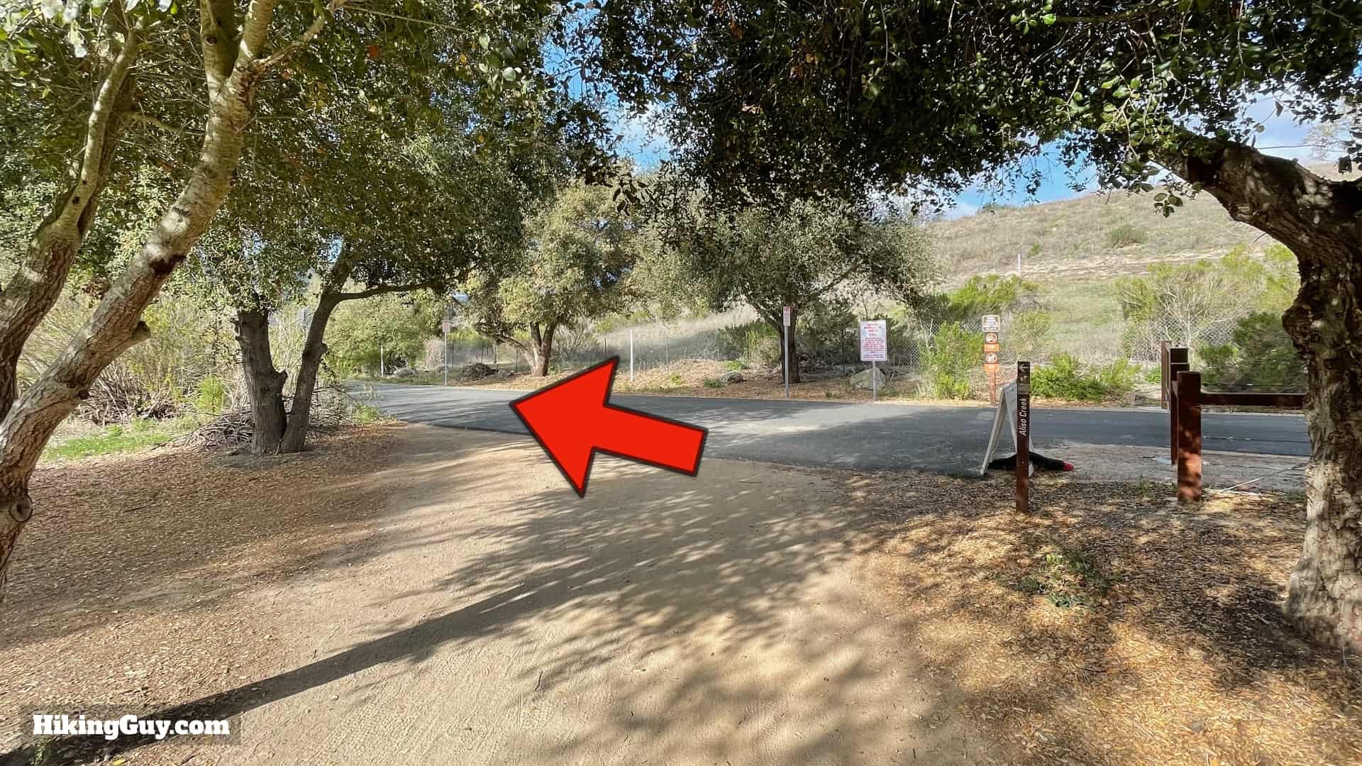
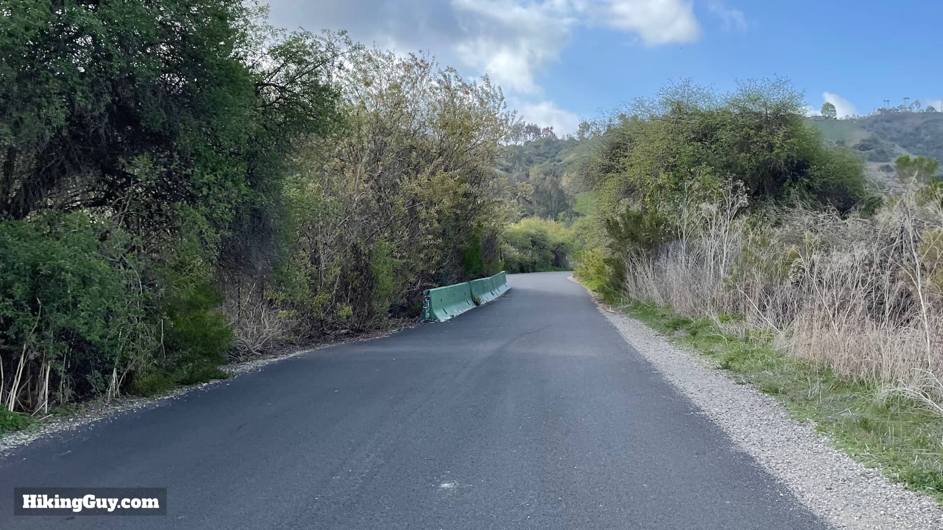
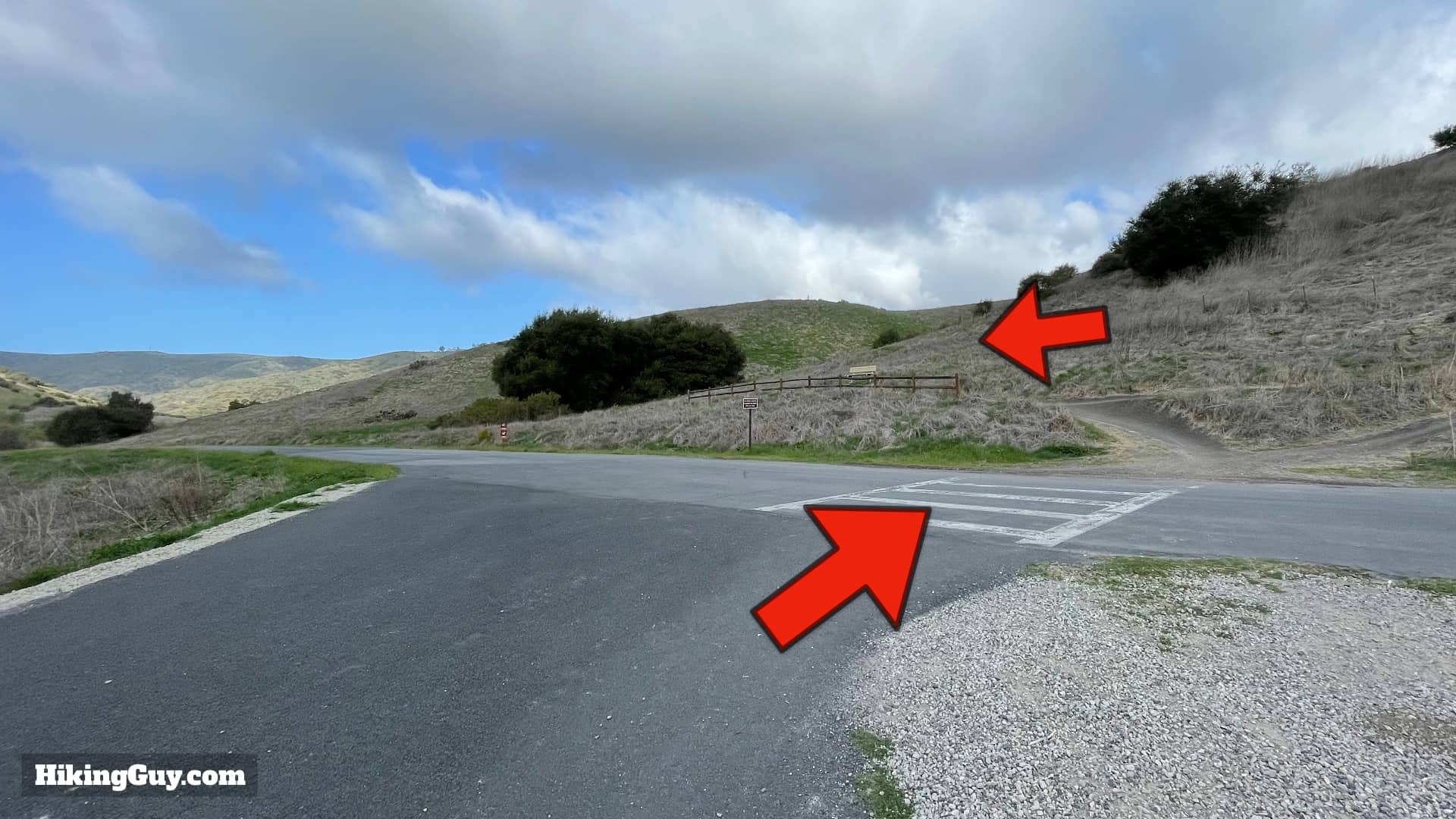
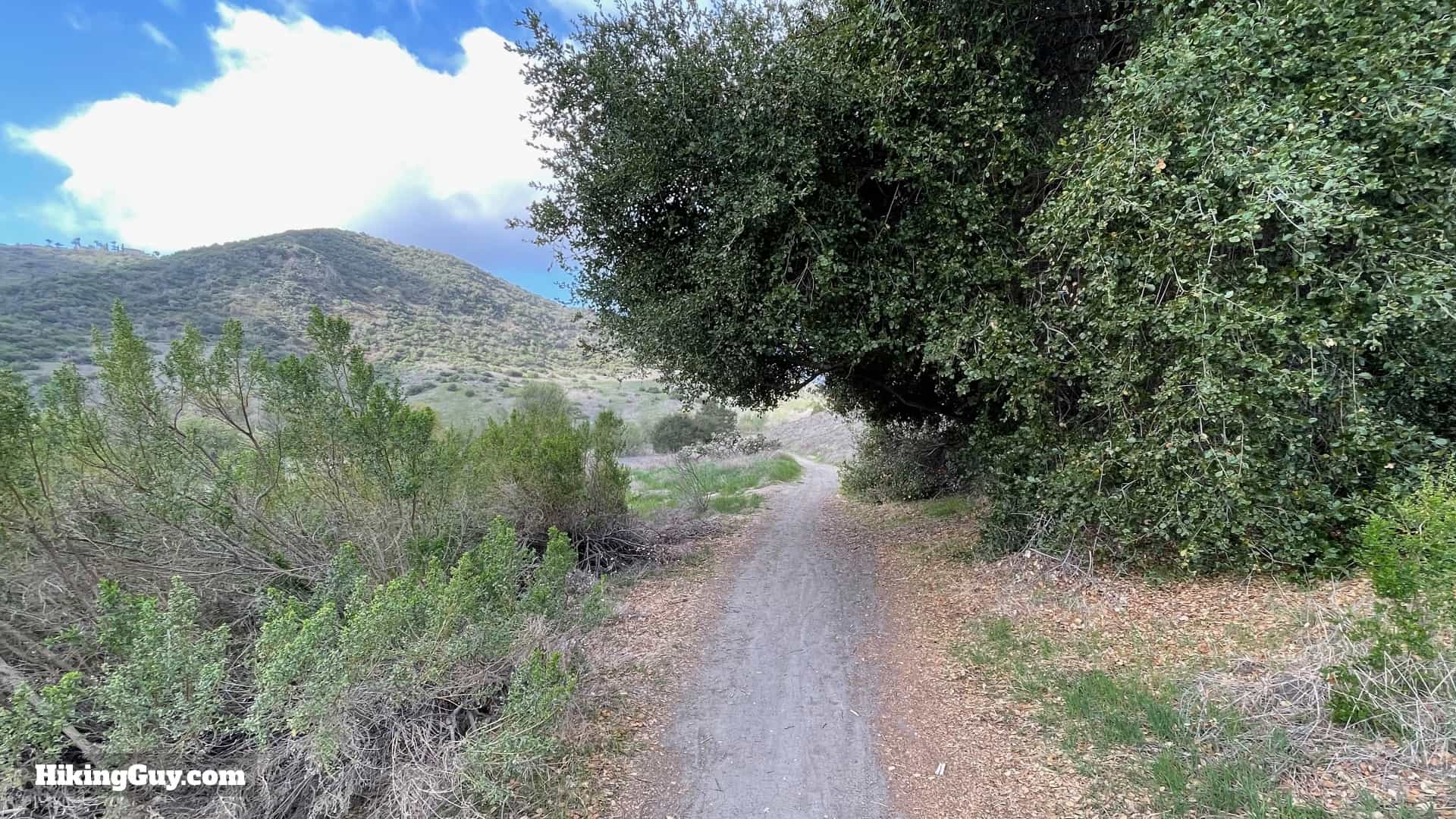
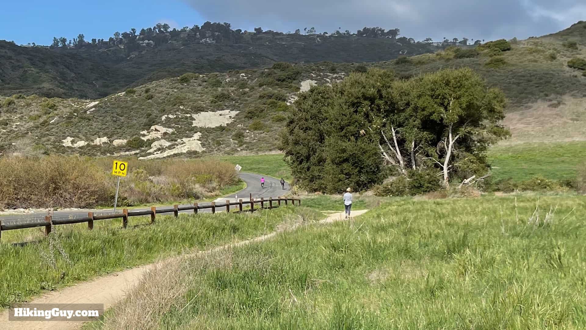
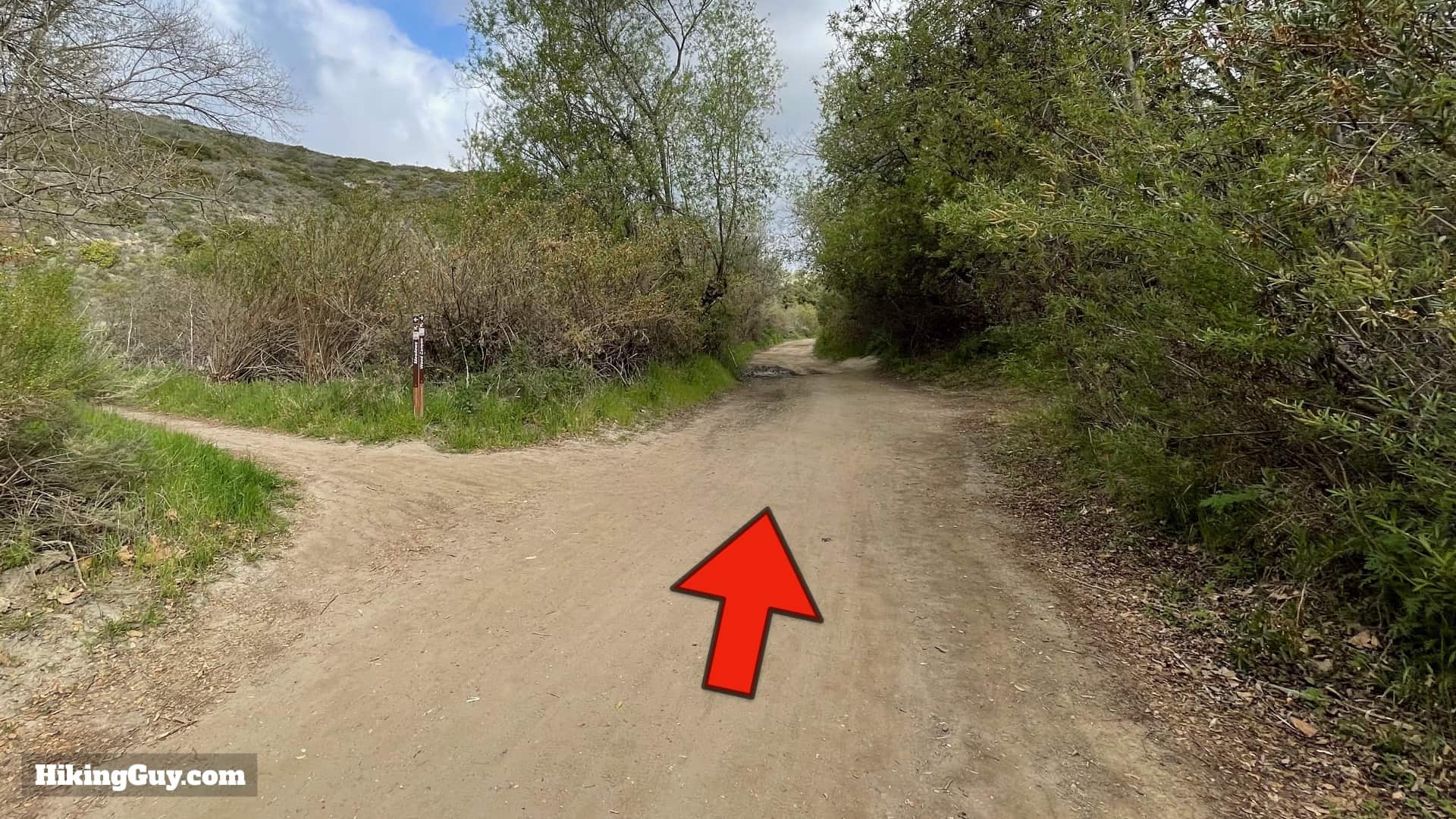
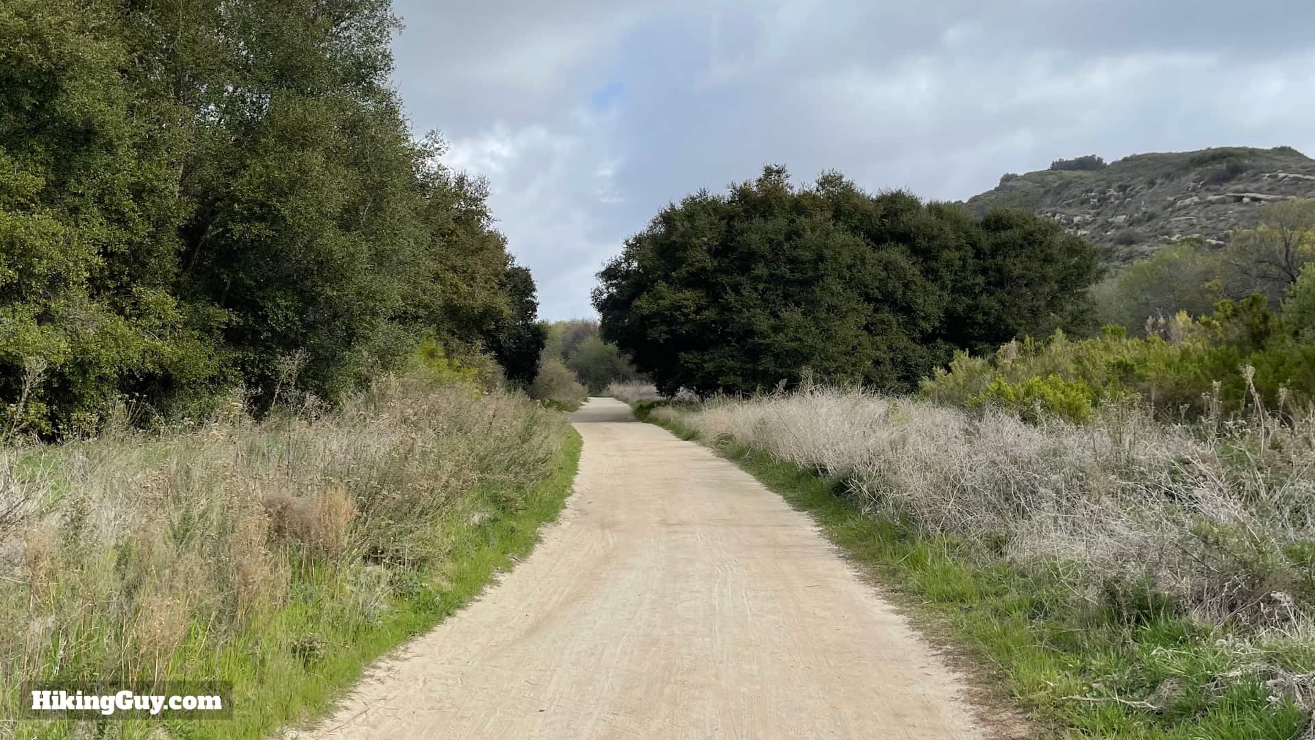
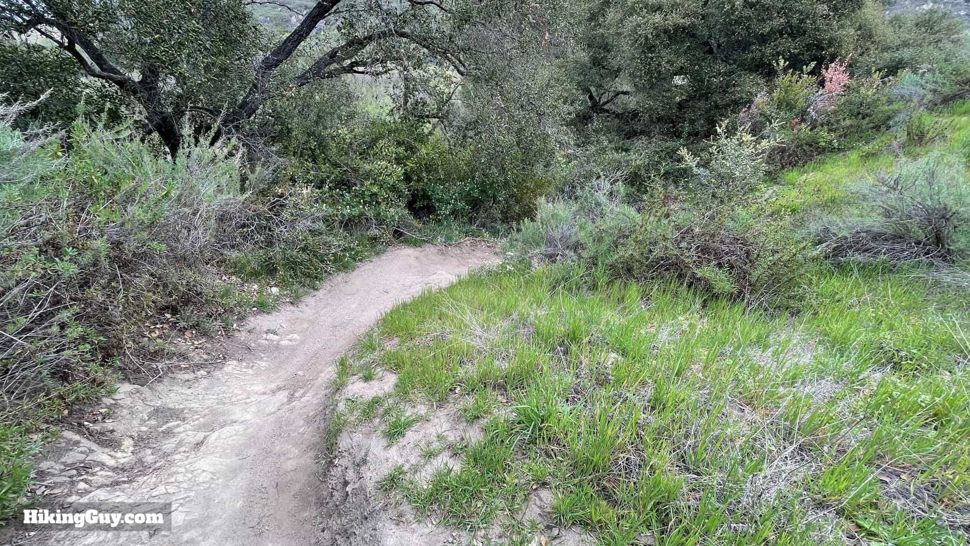
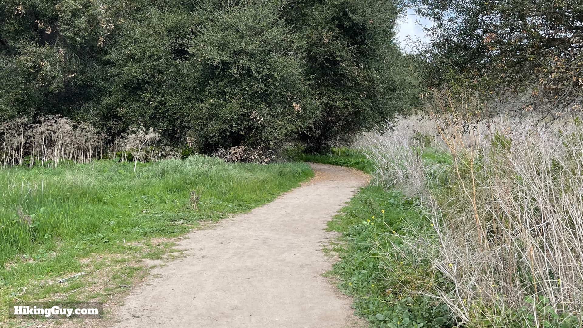
Aliso and Wood Canyons Wilderness Park offers well-maintained and well-marked trails. The first part of the hike is on a paved road, but don't let that put you off; it's peaceful and scenic. The rest of the hike is on sandy dirt trails.

Dripping Cave Trail Directions 6
Sometimes there are maps that you can take with you at the trailhead, by the parking area. There are also maps posted on signs along the trail.
Dripping Cave Trail Directions 2
Trail junctions are marked with trail signs that include the difficulty and trail name.
Click to activate map
CalTopo
Print Map, Work With It Yourself
GPX
Bring the Guide to Any GPS

3D Map

Dripping Cave 3d Map
You'll head down Aliso Canyon from the parking area and then make the right turn to hike up Wood Canyon. Aside from a little bump at Cave Rock, the hike is generally flat.

Hike Brief

Dripping Cave Trail Directions 1
Keep your eyes open for wildlife like these mule deer. There are lots of rabbits, hawks, and deer that you can see consistently.
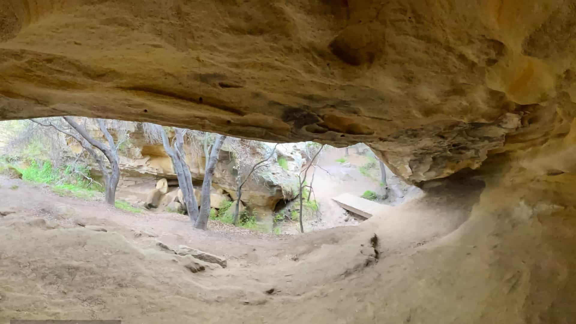
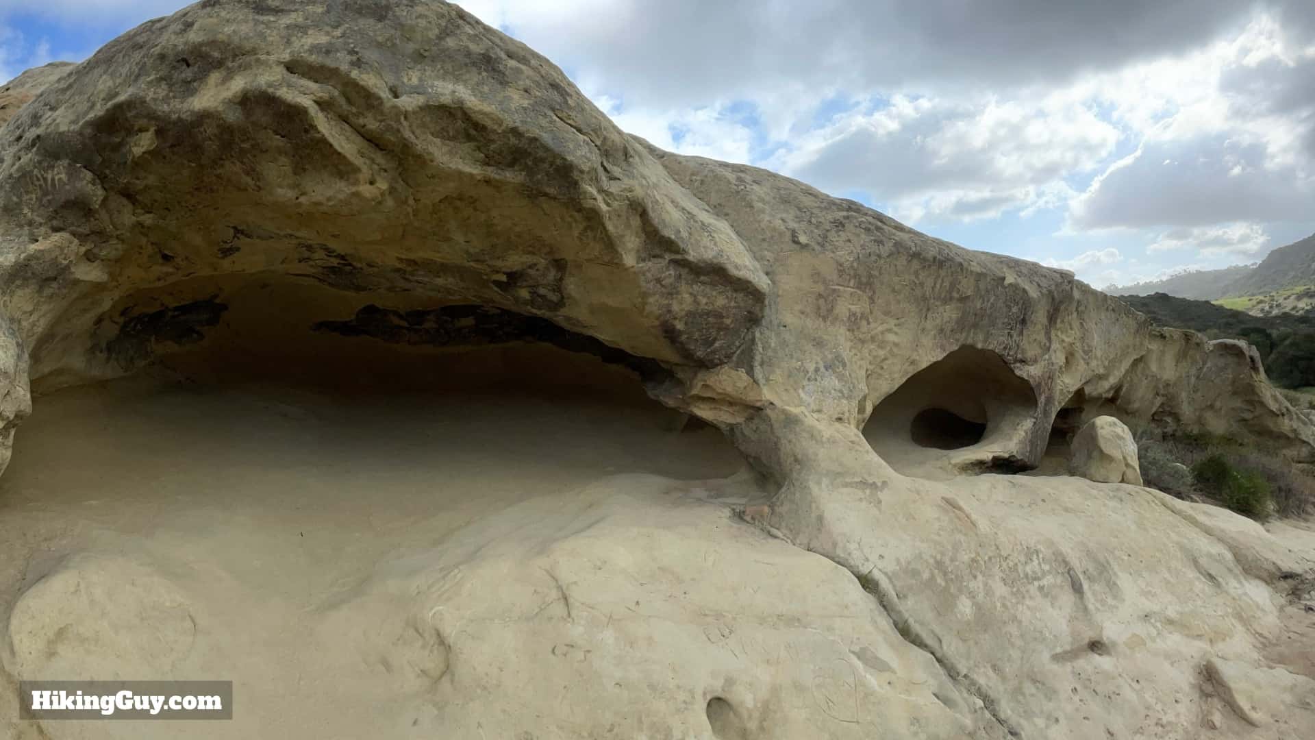
  • Dripping Cave and Cave Rocks were used for thousands of years as shelters by native peoples. Aliso Creek, which you'll hike along, was the border between the Acjachemen and Tongva peoples, and artifacts from the area suggest that trading and seasonal migrations would occur in this area.
  • Dripping Cave is also known as Robber's Cave, because it served as a hideout for Juan Flores and his gang in 1856-57. They would rob the stagecoaches between San Diego and Los Angeles and then hide out in the caves. The holes on the ceiling of the cave housed pegs that held their gear.
  • The "drip" from the cave only occurs when it rains, which is rare in Southern California.

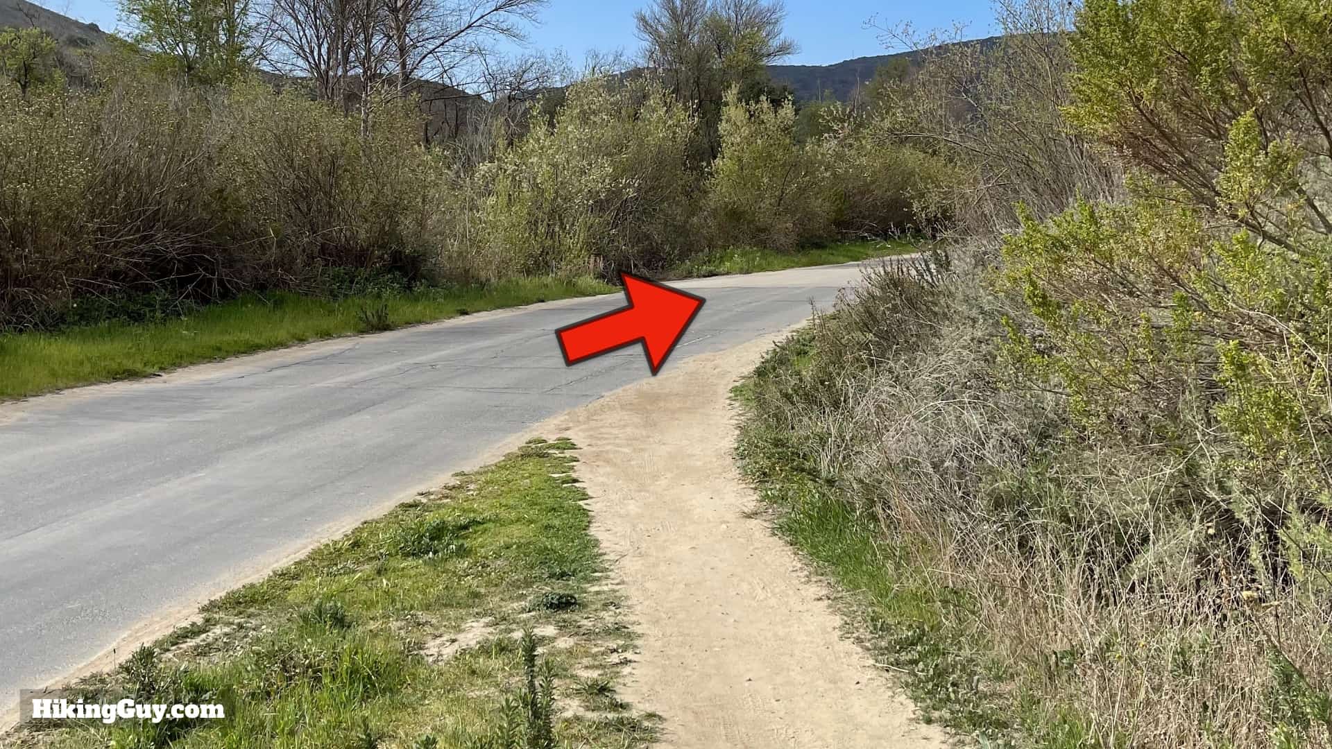
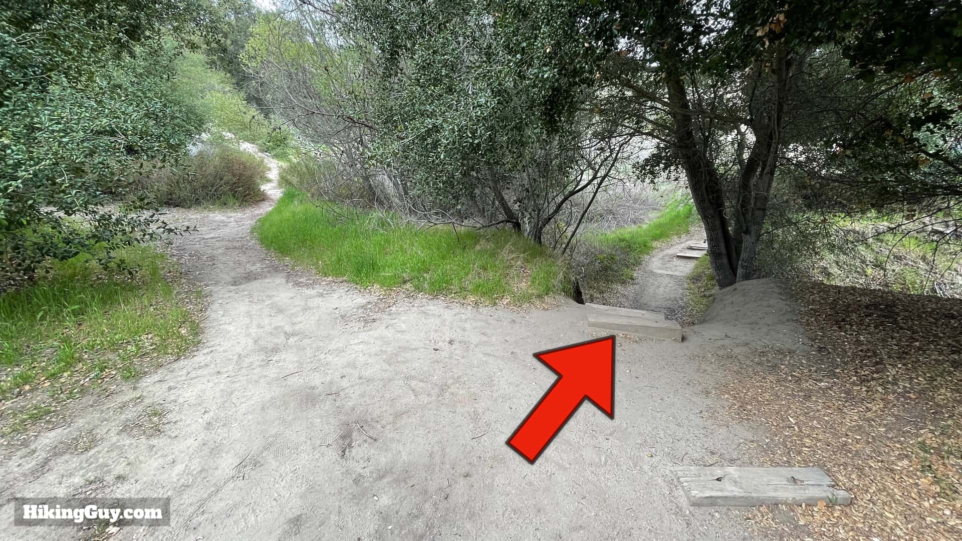
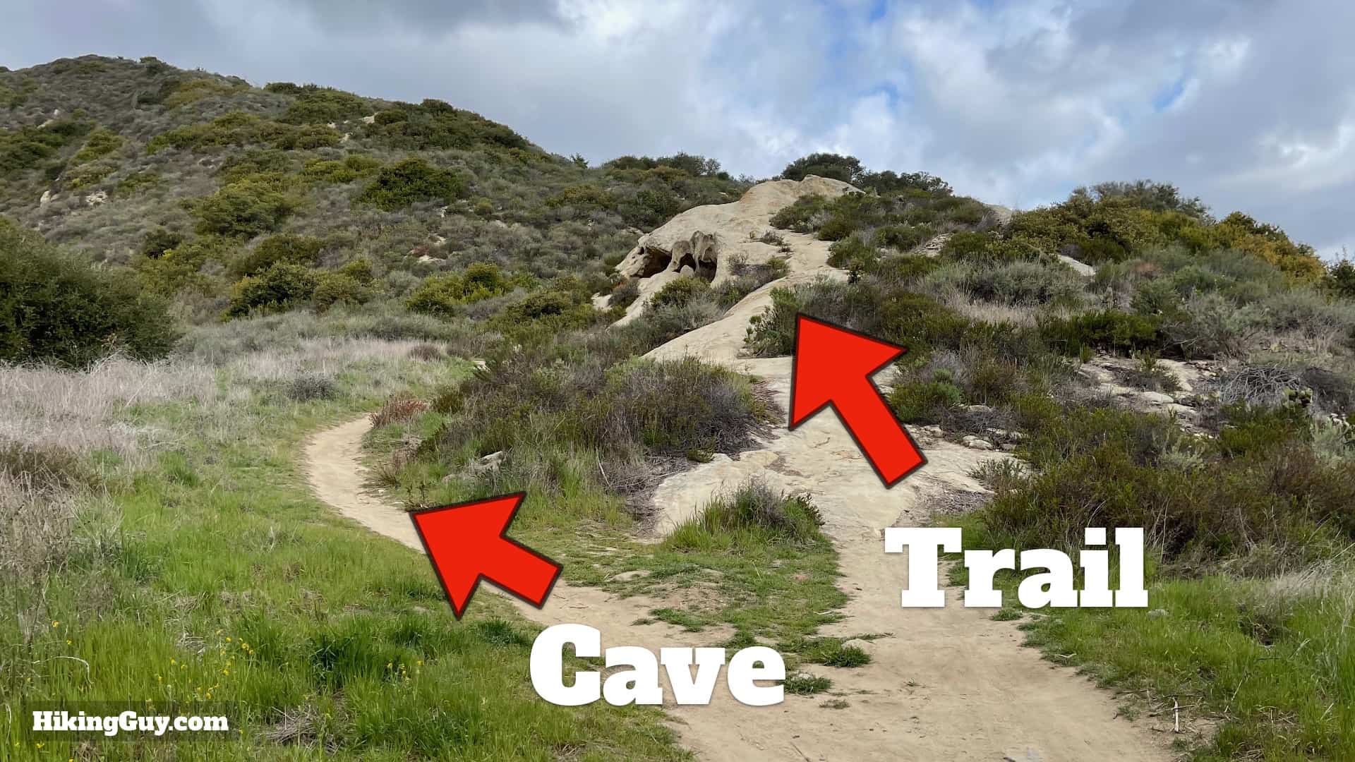
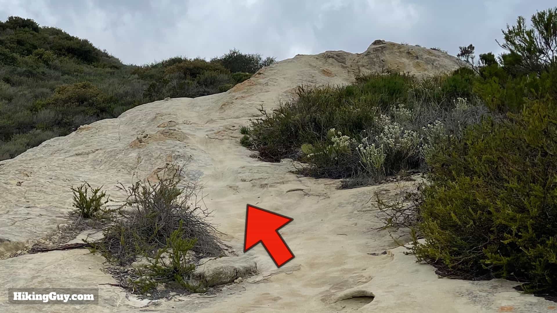
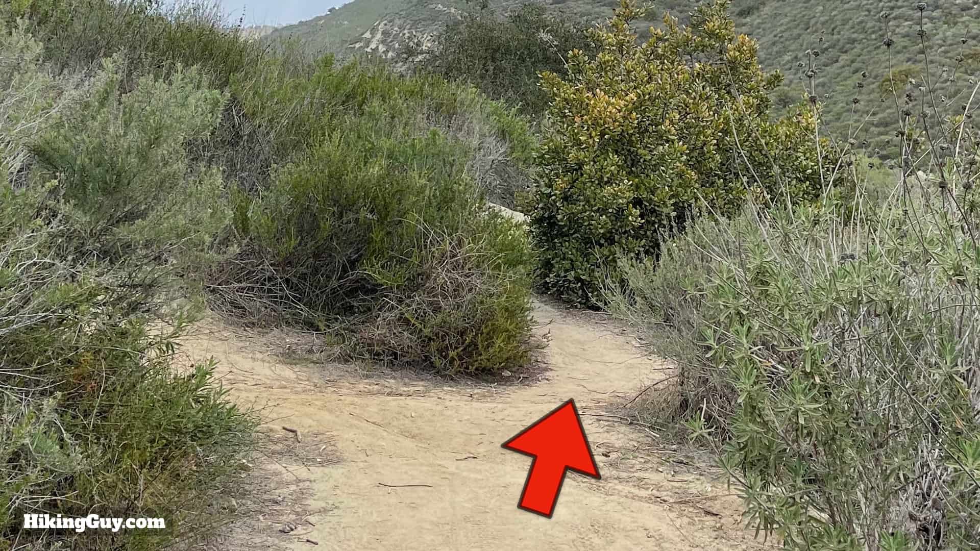
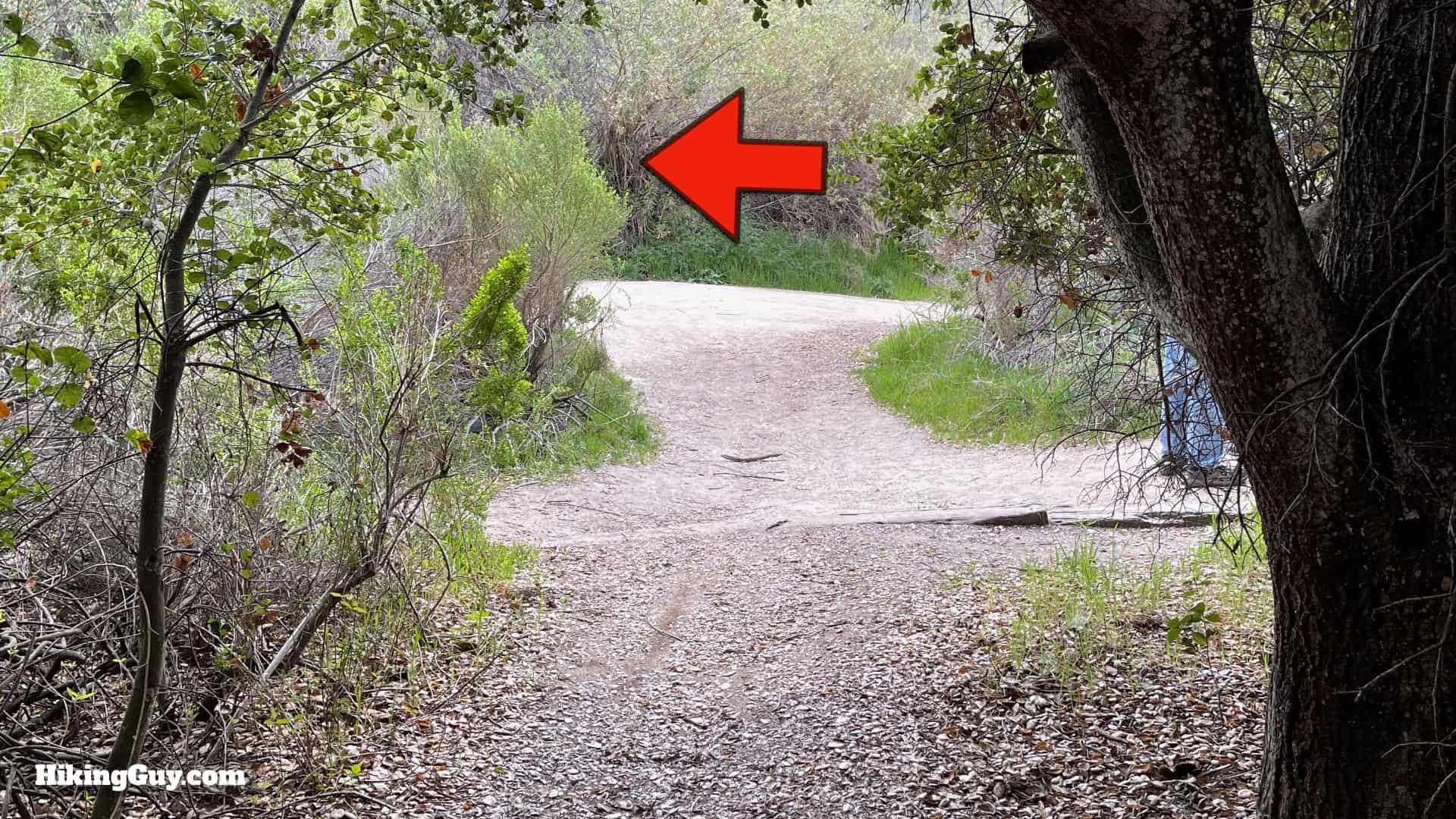
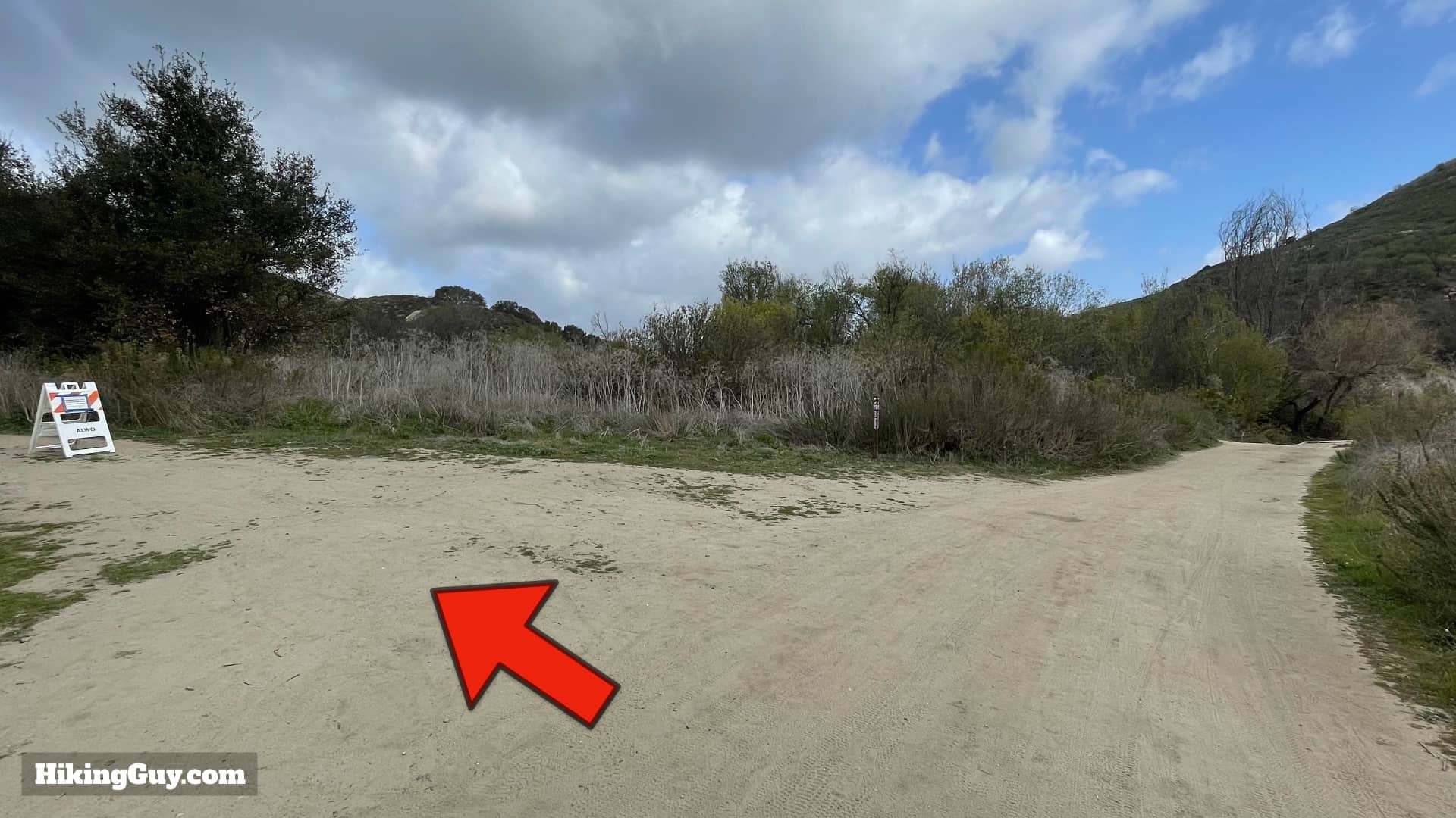
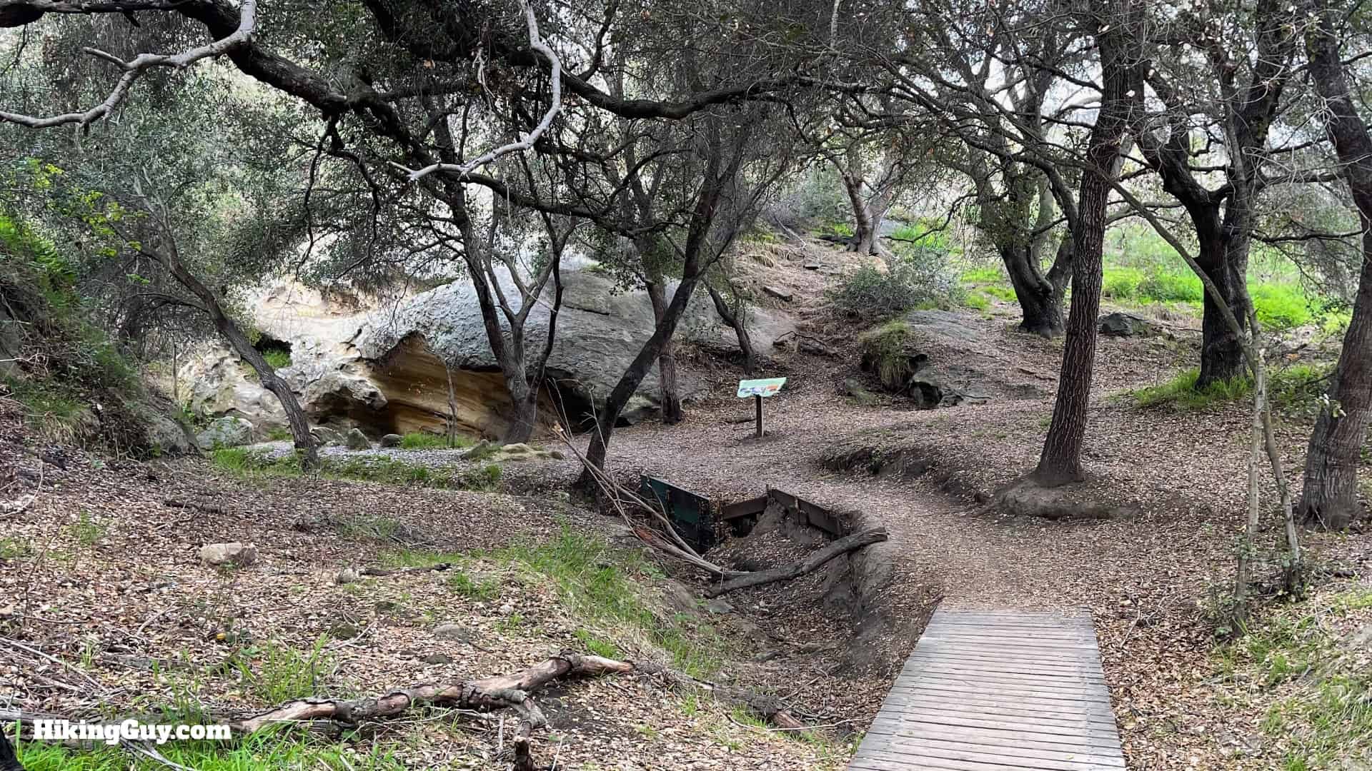
Dripping Cave Hike Directions

Dripping Cave Trail Directions 7
Go straight through the welcome and visitor center area.
Dripping Cave Trail Directions 8
At the end, make the left onto the paved Aliso Creek Trail. The road is closed to traffic but open to bikes.
Dripping Cave Trail Directions 9
The Aliso Creek Trail is paved, but is still nice as it gently heads down Aliso Canyon. Stay on the paved trail.
Dripping Cave Trail Directions 10
After about 0.75 miles you come to a junction. Cross the road and hop on the dirt trail heading left.
Dripping Cave Trail Directions 11
Aliso Creek Trail becomes a proper trail, winding through trees and fields.
Dripping Cave Trail Directions 12
The trail comes close to the paved road at points. Stay on the dirt trail going straight.
Dripping Cave Trail Directions 13
When the trail ends at the paved road, keep going straight.
Dripping Cave Trail Directions 14
You'll cross the creek and quickly see an area to the right. Make the right turn.

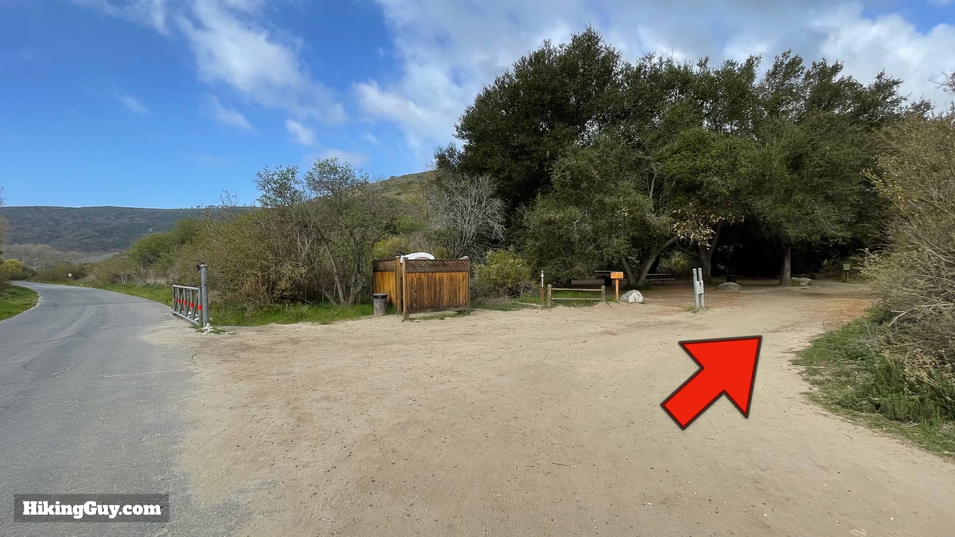
There's a toilet and picnic benches here.

Dripping Cave Trail Directions 15
Go straight down the wide Wood Canyon Trail, avoiding the Meadows Trail on the left.
Dripping Cave Trail Directions 16
The Wood Canyon Trail is wide and picturesque.
Dripping Cave Trail Directions 17
When you get to the Cave Rock trail, make the left and take it.
Dripping Cave Trail Directions 18
The trail is small and much quieter than the larger Wood Canyon Trail.
Dripping Cave Trail Directions 19
There's a point where the trail splits. Take the stairs down and then back up the other side.
Dripping Cave Trail Directions 20
You'll see this in front of you. Check out Cave Rock to the left, then come back and continue up the trail over the top of the rock.
Dripping Cave Trail Directions 21
Cave Rock would provide temporary shelter for native peoples, but today is sadly covered by carved initials. The rocks are still fun to check out.
Dripping Cave Trail Directions 22
Head back and up over the top of the rock.
Dripping Cave Trail Directions 23
Stay straight avoiding any small side trails.
Dripping Cave Trail Directions 24
Bear left when the trail heads over the top of the granite.
Dripping Cave Trail Directions 25
And soon the trail continues on the dirt and is easy to follow.
Dripping Cave Trail Directions 26
At the bottom of the hill, the Cave Rock Trail rejoins the Wood Canyon Trail. Make the left to continue to Dripping Cave.
Dripping Cave Trail Directions 27
There's another cave and interpretive display right before you make the left turn.
Dripping Cave Trail Directions 28
Continue up the wide Wood Canyon Trail for about a quarter of a mile.
Dripping Cave Trail Directions 29
As you hike on this stretch you can still see the damage from a fire here in 2018.
Dripping Cave Trail Directions 30
Look for the wide turnoff to the left and hop on the Dripping Cave Trail.
Dripping Cave Trail Directions 31
The trail is small and winds.
Dripping Cave Trail Directions 32
Head down over the bridge.
Dripping Cave Trail Directions 33
And you'll see the Dripping Cave on your left.
Inside Of Dripping Cave
Photos don't really convey how huge the Dripping Cave is. You can easily fit dozens of people in this space. And it's not really a cave, but an overhang.
Dripping Cave Trail Directions 34
The black marks on the top are not stains from fires, but rather it's plant life that takes advantage of the water seeping in.

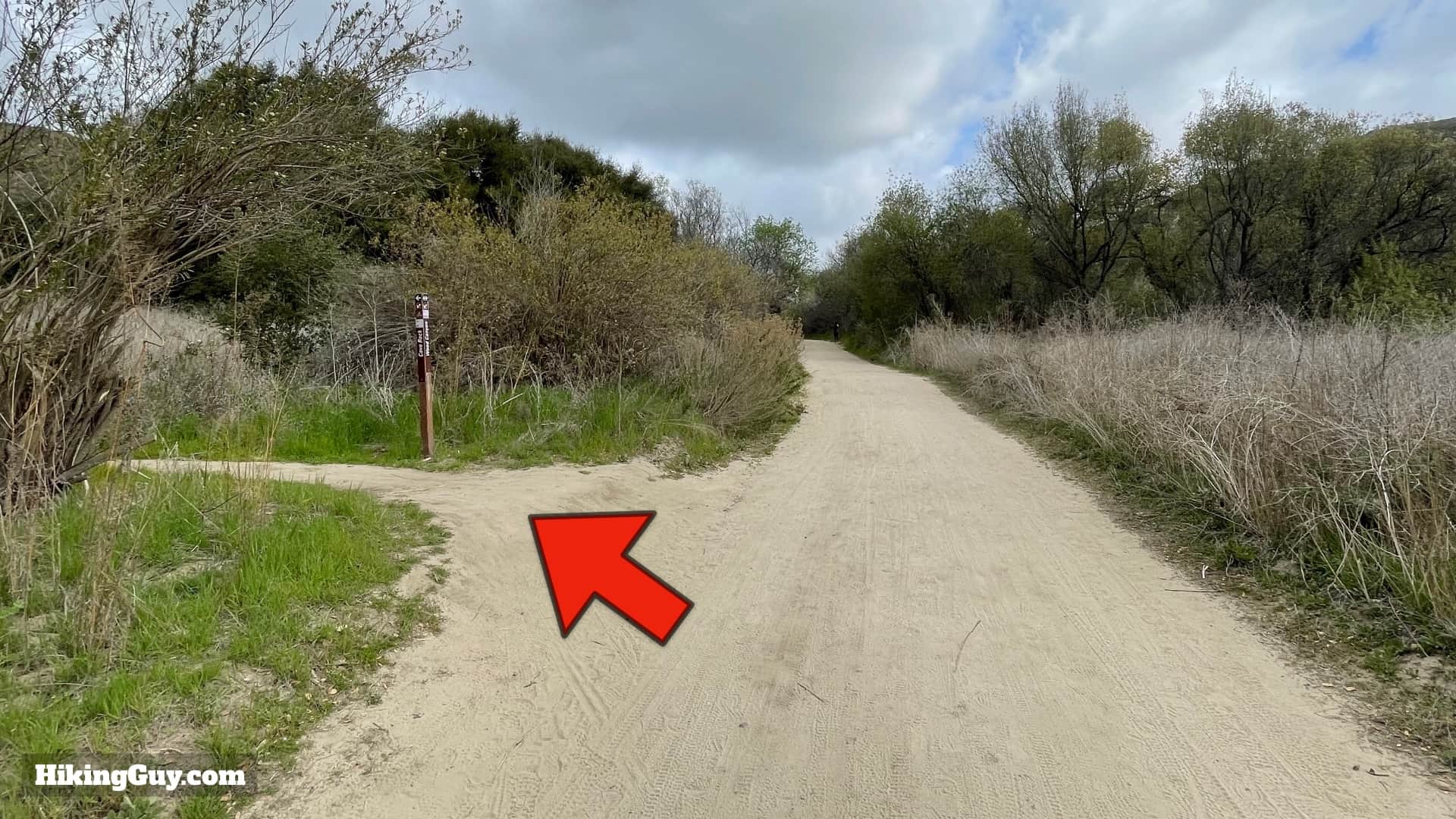
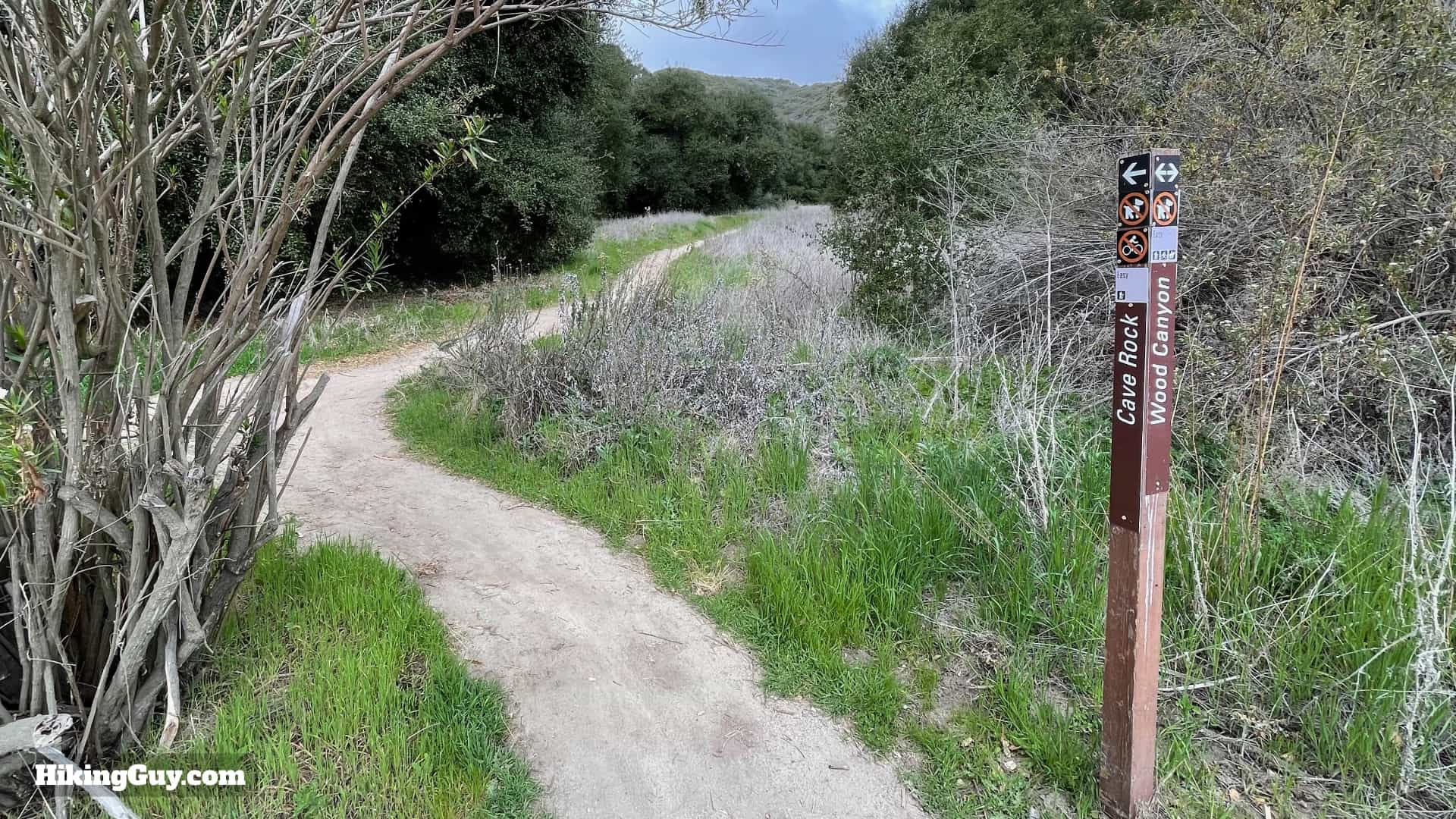
Once you're done at the Dripping Cave, return the way you came. You can go straight instead of taking the Cave Rock Trail detour, and if you want, take the paved path back once you get to Aliso Creek.

Last updated January 2025