Tin Mine Canyon Trail Guide
Hike Stats
- Total Distance
- 5 miles
- Time
- 2 Hours
- Total Climbing
- 820 feet
- Difficulty
- Easy
- Crowds
- Quiet
- Dogs
- Leashed
- Gear
- What I Use
- Weather
- Latest Report
Hiking the Tin Mine Canyon Trail takes you into another world. You'll park your car in suburban SoCal, but end up in a lush, shaded gully alongside a mountain stream. On the way you get to check out the old tin mine shafts, over 100 years old and once part of the search for the purest tin in the world. The Tin Mine Canyon Trail is relatively short, easy, shaded, and great for the family.
Where is the Tin Mine Canyon Trail?
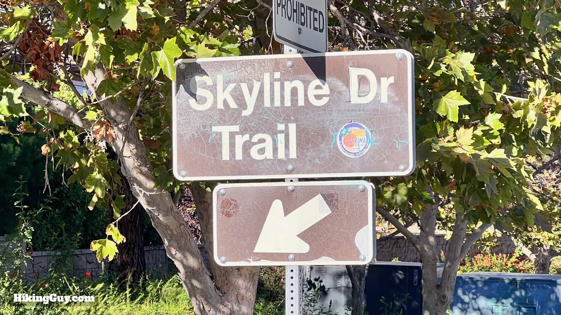
Parking for the Tin Mine Canyon Trail is easy and free. The hike starts on the Skyline Trail, and there is a lot of curbside parking by the trailhead. Just know that this trailhead is popular, and you'll probably have to walk at least a few minutes on the sidewalk to get to the trailhead. Use this trailhead address:
Skyline Drive Trail, Skyline Dr, Corona, CA 92882


Gear For the Hike
This is a pretty easy hike, and you don't need anything more than light hiking gear or fitness clothes to do it. There can be poison oak and overgrown parts of the trail, so having long pants is smart. There can also be gnats and flies; put some insect repellant on. After a rain, there are stream crossings where your feet can get wet, but most of the time the creek is dry. Bring at least 1L of water to stay hydrated.
Essentials I’m Using Now
- Garmin inReach Mini 2: Reliable SOS Everywhere on Earth
- Sawyer + CNOC Water Filter: Easy & Reliable Safe Water
- Nitecore NU25 Headlamp: Running late? Get home safe
- Altra Olympus 275: Favorite trail shoes right now, no blisters and very comfy.
- AllTrails Plus (30% off): Offline maps on your phone with the Plus level
- Full December 2025 Gear List →
Tin Mine Canyon Trail Maps

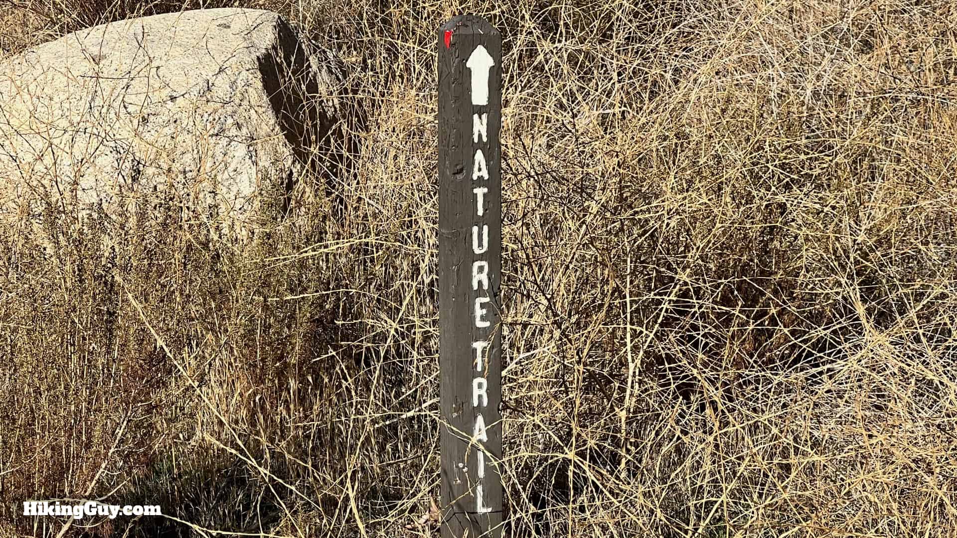
Overall the hike is easy to follow and straightforward. Some sections of the trail split apart and rejoin each other, and I'll point them out in the directions below, but you are in Tin Mine Canyon, the options for getting lost are limited.
Elevation Profile

3D Map

The Tin Mine Canyon Story

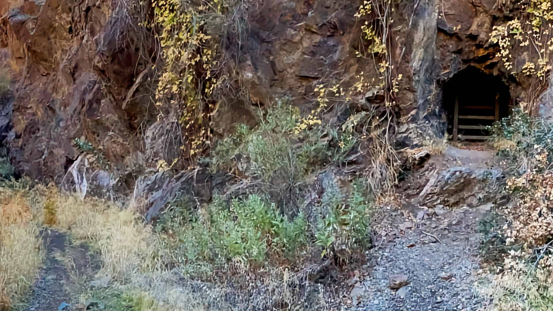
In the 1800s and 1900s, mining was basically free money that you could access with some elbow grease. Thousands flocked to California to mine for gold but found other minerals that they could sell, like silver and tin. The Santa Ana Mountains were no exception, with lots of mining occurring (ever think about how "Silverado Canyon" got its name?). In 1859, what was to become California's largest tin mine, the Cajalco Tin Mine, opened about 7 miles east of Tin Mine Canyon.

This is where milk comes into the story, which used to be delivered in wooden buckets. The Department of Health decreed that milk had to be covered and sterilized, and tin can packaging (which you still see on things like Campbells Soup) became a thing. Knowing that a productive tin mine was only a few miles away, the Borden Milk Company dug dozens of exploratory tunnels searching for another lode of tin. It never happened, and the mine shafts you see on this hike are just part of that exploratory effort.
Tin Mine Canyon Hike Directions


Some folks continue up the canyon, which you can follow up to Skyline Drive or Black Star Canyon Road. However, the trail eventually disappears if you continue, and you will need to have experience in off-trail navigation and scrambling to complete the hike. As you can imagine, the area past this point gets more than its fair share of rescues. Only attempt to continue if you are confident in your skills and experience.
