The Thunder Spring Trail Loop is one of the quieter hikes in Palomar Mountain State Park; it's a great hike to get away from it all. The scenery is lush, with lots of pines, cedars, and in the spring, wildflowers. You have a climb that will get your heart rate up, but is not too tough. And along the way, you visit a historic homesteader's cabin site. Overall it's a nice trail and a good time.
Where is the Thunder Spring Trail?
The Thunder Spring Trail hike is located in Palomar Mountain SP. Drive into the park and follow the signs for Doane Pond. There's also a (private) retreat by the pond that might be more GPS-friendly. Use this trailhead address: Camp Palomar, 34798 Doane Valley Rd, Palomar Mountain, CA 92060
There is an entry fee to enter Palomar Mountain State Park.
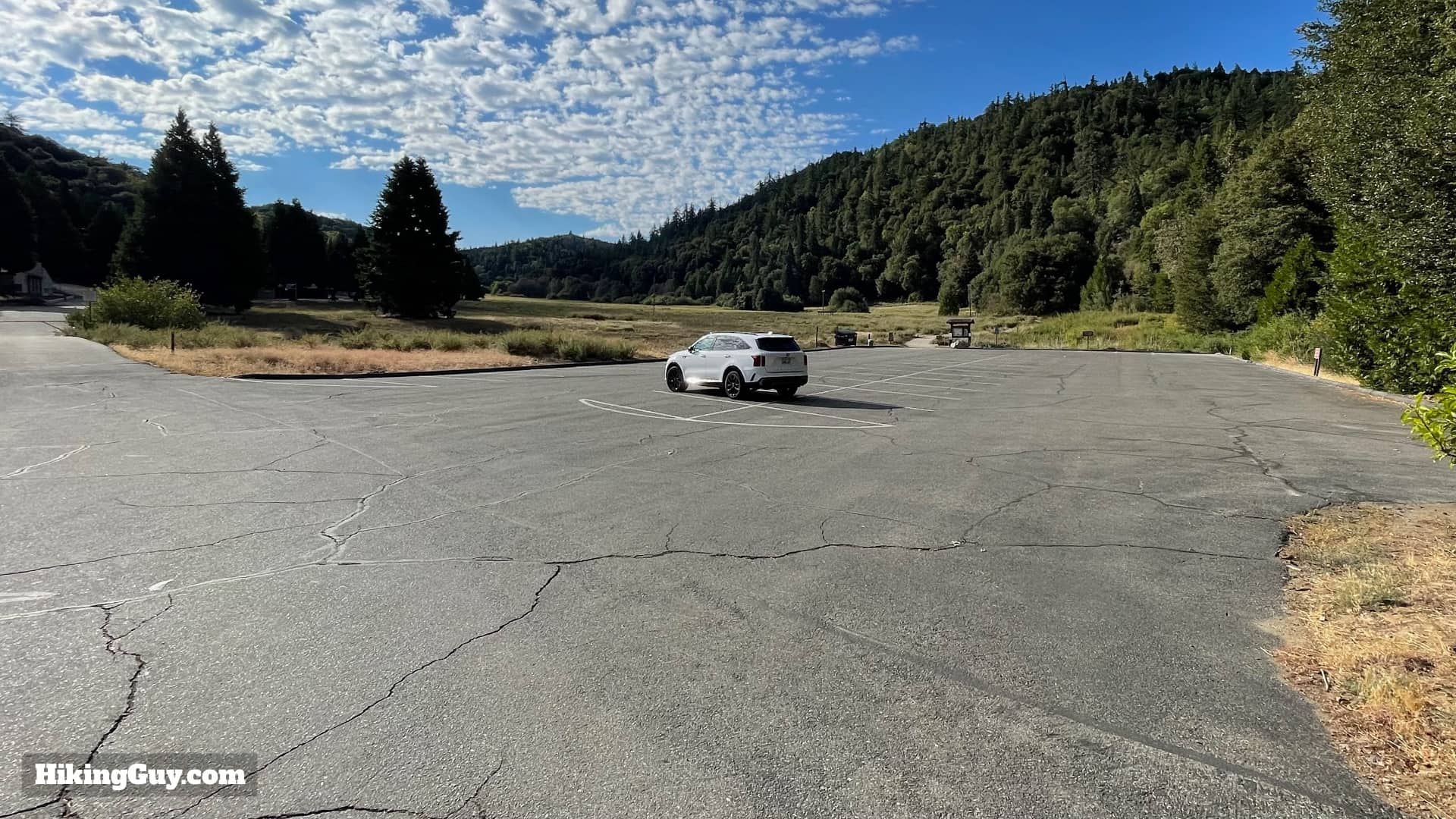
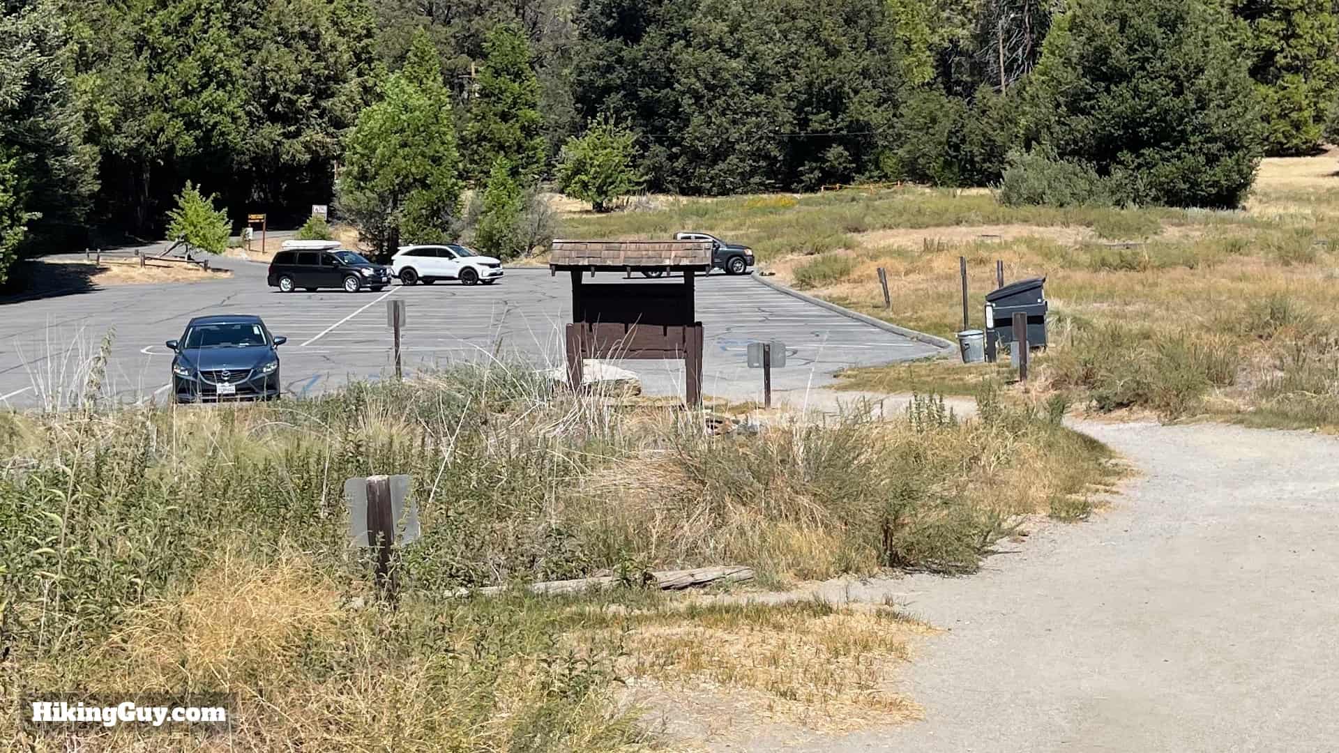
Park at the Doan Pond Day Use Area.You won't have to worry about finding parking here, the lot is big. The trail starts on the far side of the parking lot.
Gear For the Hike
The main challenge on this hike can be poison oak and nettles. Wearing long pants solves the problem, just make sure you don't touch your pants if you go through a patch. And there can be gnats, so bring insect repellant. Otherwise this is a straightforward backcountry hike with lots of shade. I bring 1L of water.
This profile makes the hike look like a big mountain climb. It's a climb, but only 900 feet total. Once you're at the top, it's almost all downhill back to the start.
3D Map
We'll follow the loop clockwise, and climb up along Chimney Creek and Upper Doane Valley. Once we arrive at Chimney Flats, we hike up the ridge, and then back down to the start.
Thunder Spring Trail Hike Directions
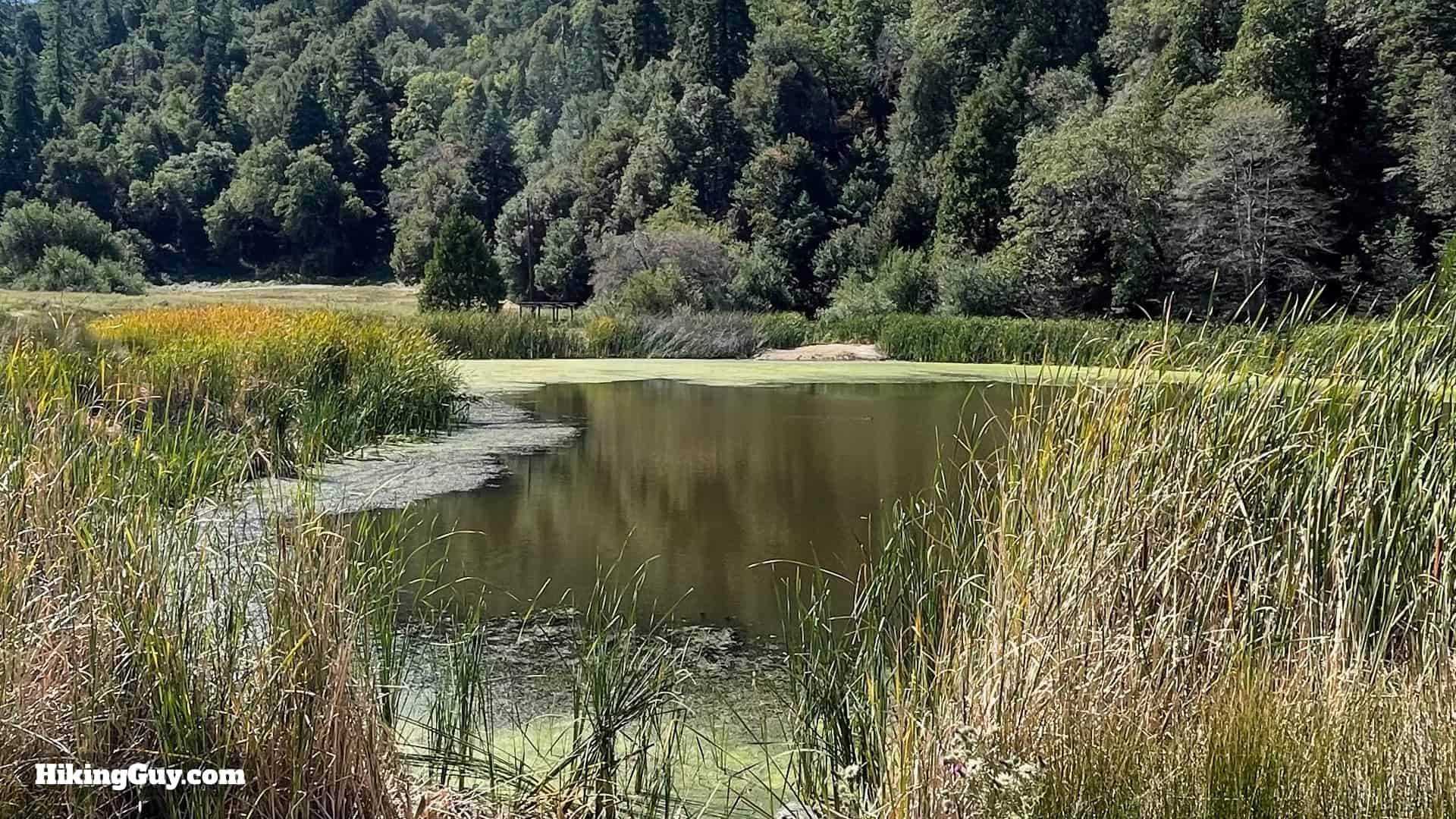
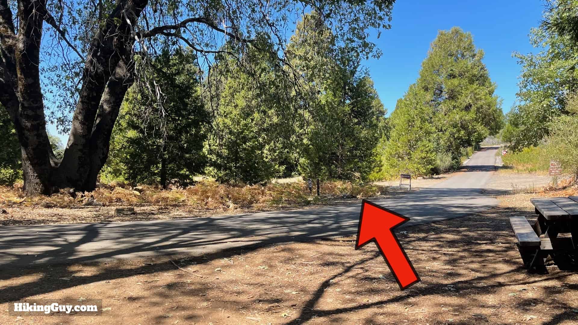
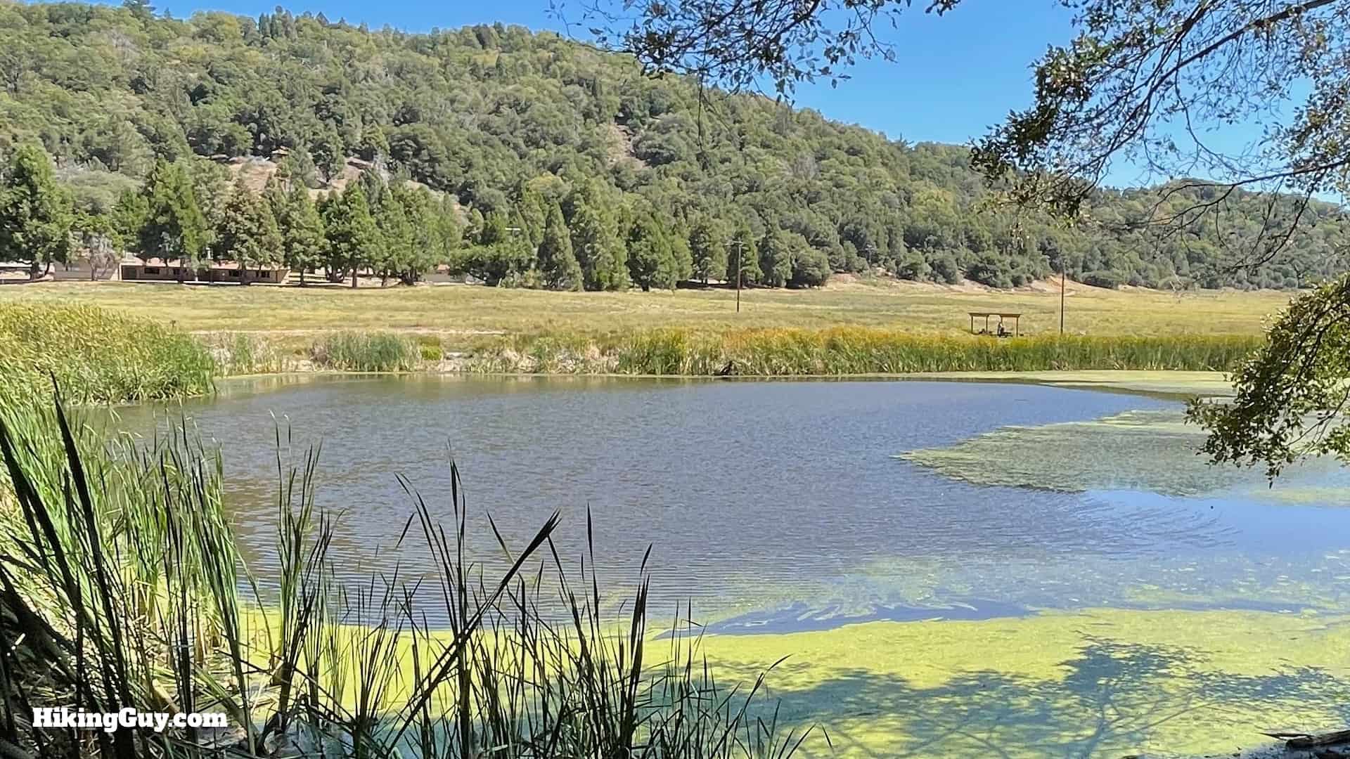
Start at the large trailhead at the end of the parking lot.Our next landmark is Thunder Spring.You'll pass bathrooms on your right.When you get to the junction at the big tree, make the left.Stay on the trail that circles Doane Pond, which is a popular fishing spot.
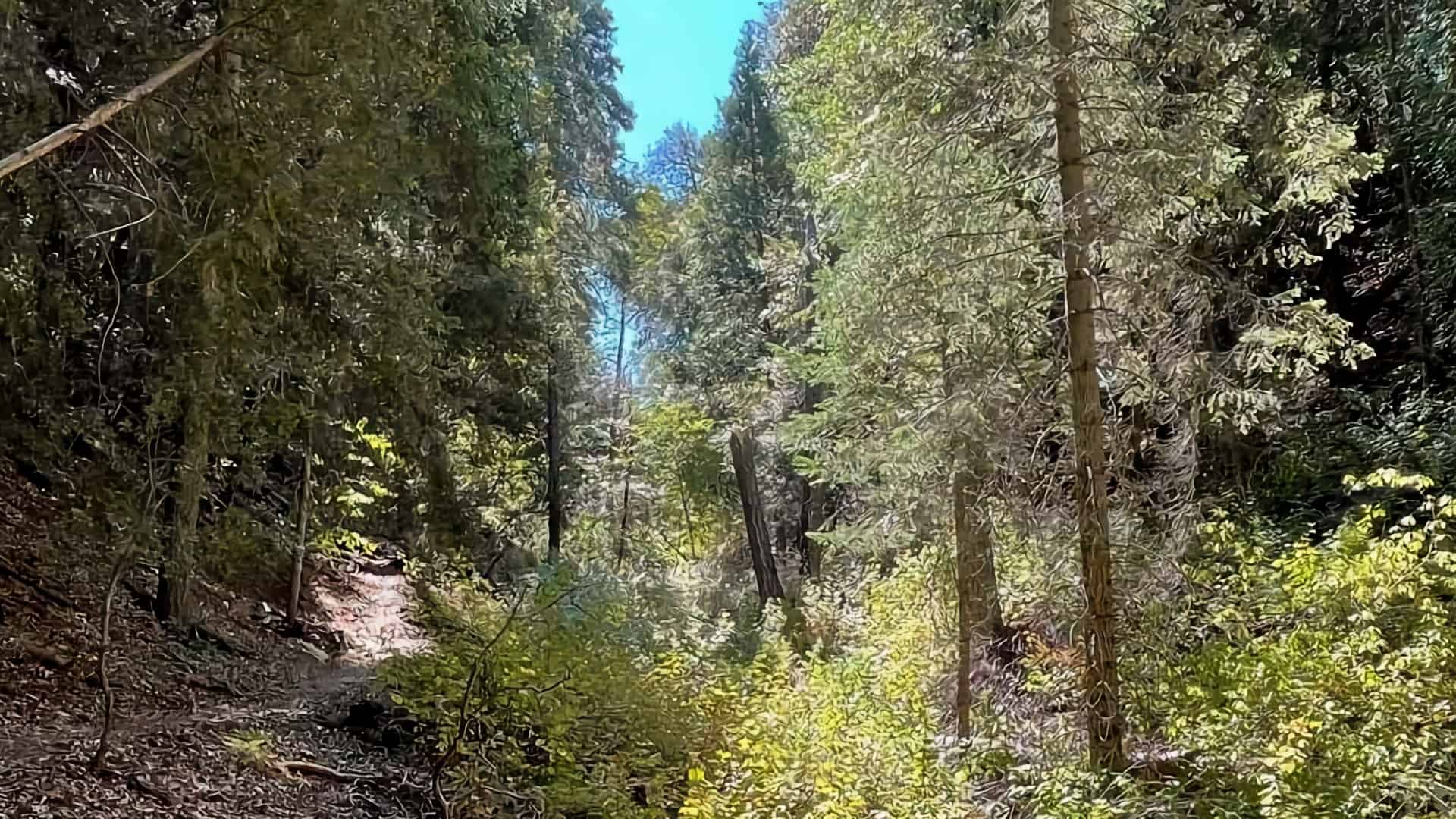
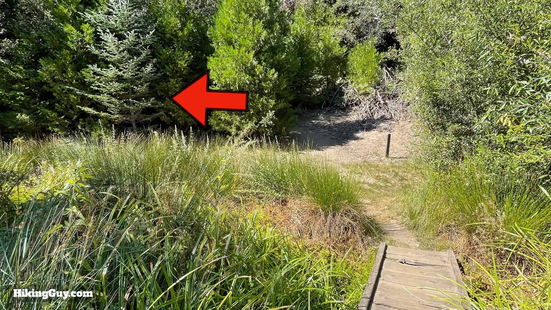
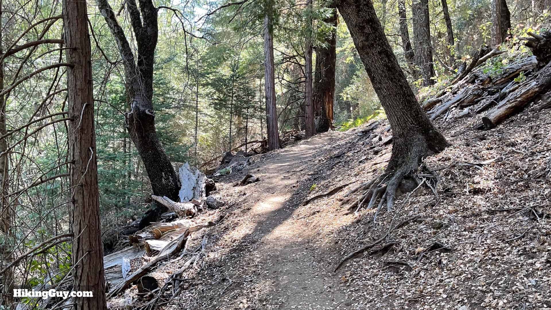
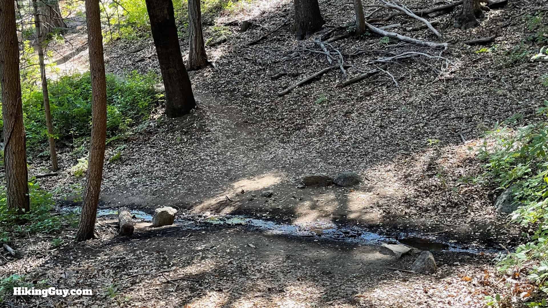
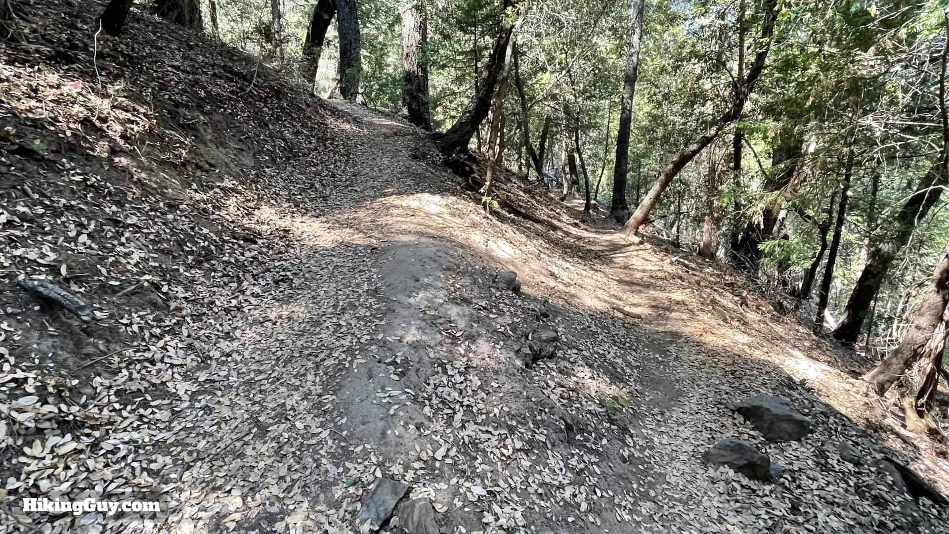
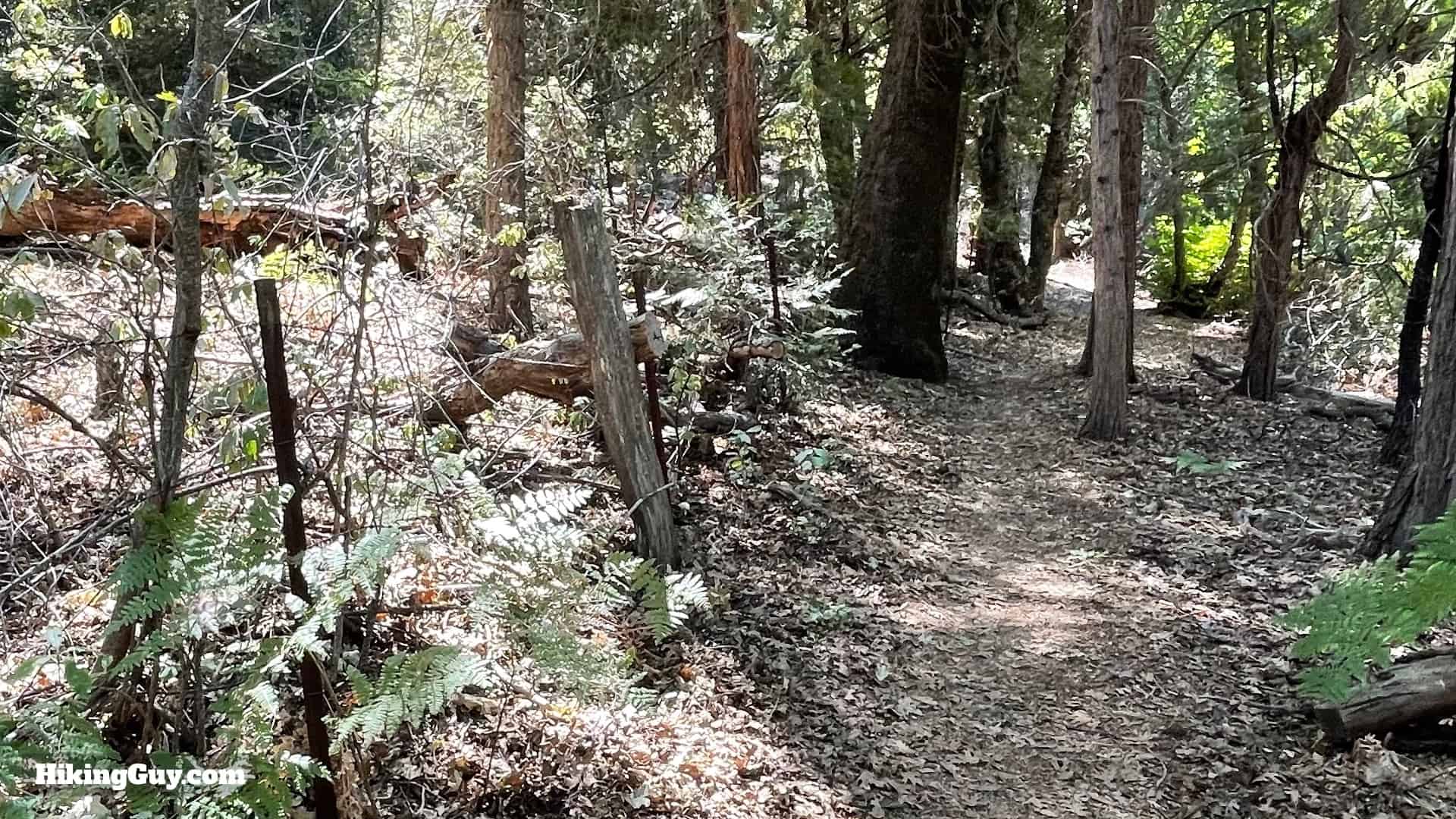
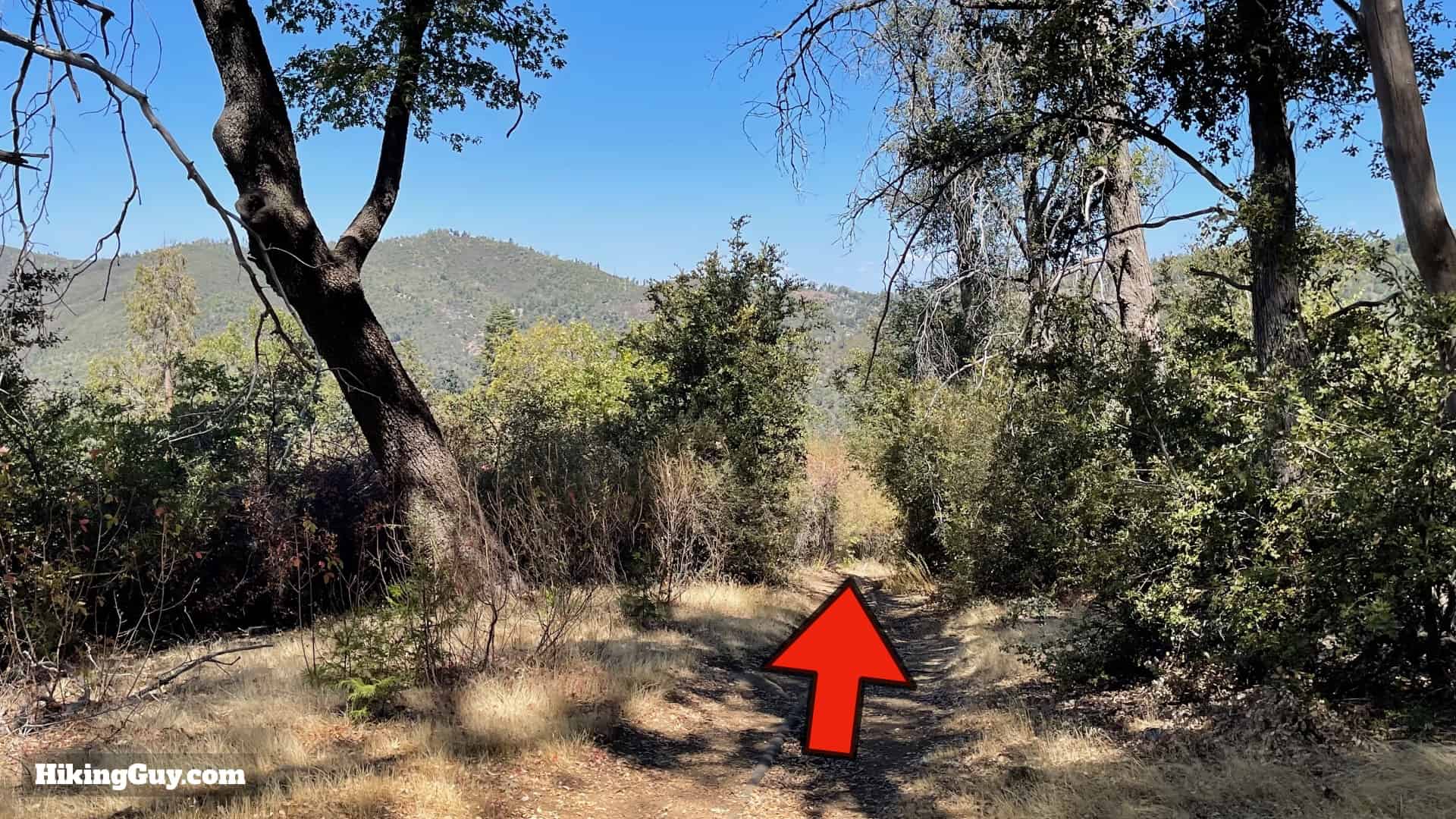
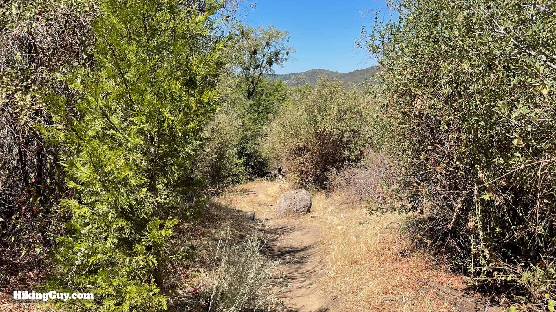
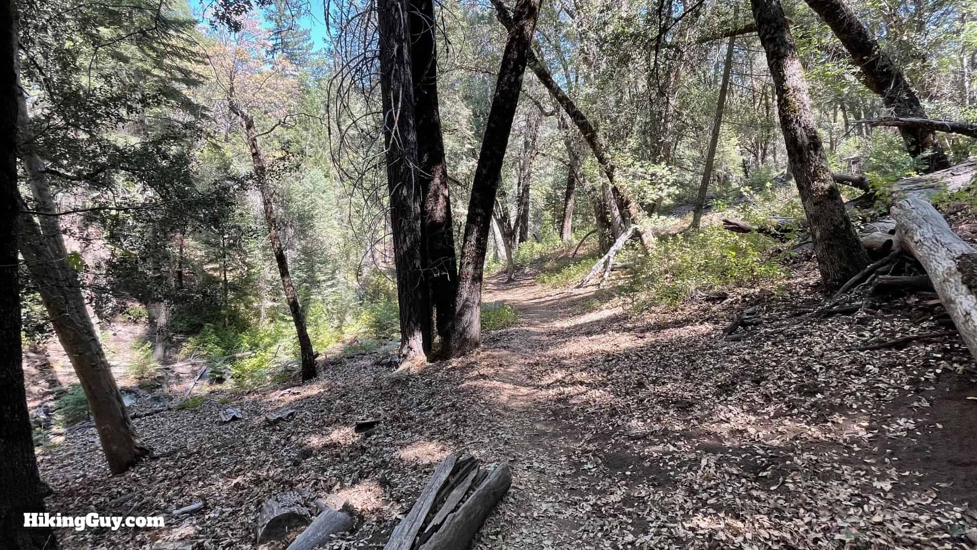
On the other side of Doane Pond you'll cross a small bridge. Make the hard left once you cross.And now you'll see a marker that you are on the Thunder Spring Trail. Hike straight.The trail gently climbs in the forest.Down to your left is Chimney Creek.Hike along the old fence.And now you get great views into Upper Doane Valley.Here you are, glorious Thunder Spring! Well, it's not so glorious but if you are thirsty, it probably looks a lot more spectacular. Keep hiking straight over the spring.You'll pass through the meadow at the top of Upper Doane Valley.And then reach an intersection at the top Upper Doane Valley. Continue straight on the Chimney Flats Trail.There's a trail marker to confirm that you are on the Chimney Flats Trail.Now you start the climbing in earnest. Hike up along the upper reaches of Chimney Creek.There's some small switchbacks along the way.When the major climbing is over you'll hike along a fence line.
The land on the other side of the fence belongs to a cattle ranch, something you wouldn't expect up on Palomar Mountain. If you drive to the observatory you can see the pastures alongside the road. There has been cattle ranching here since 1860, when the Mendenhall family started bringing cows up to the mountain during the summer (and back down into the valley during the winter). The Mendenhall'ls are still owners of the ranch.
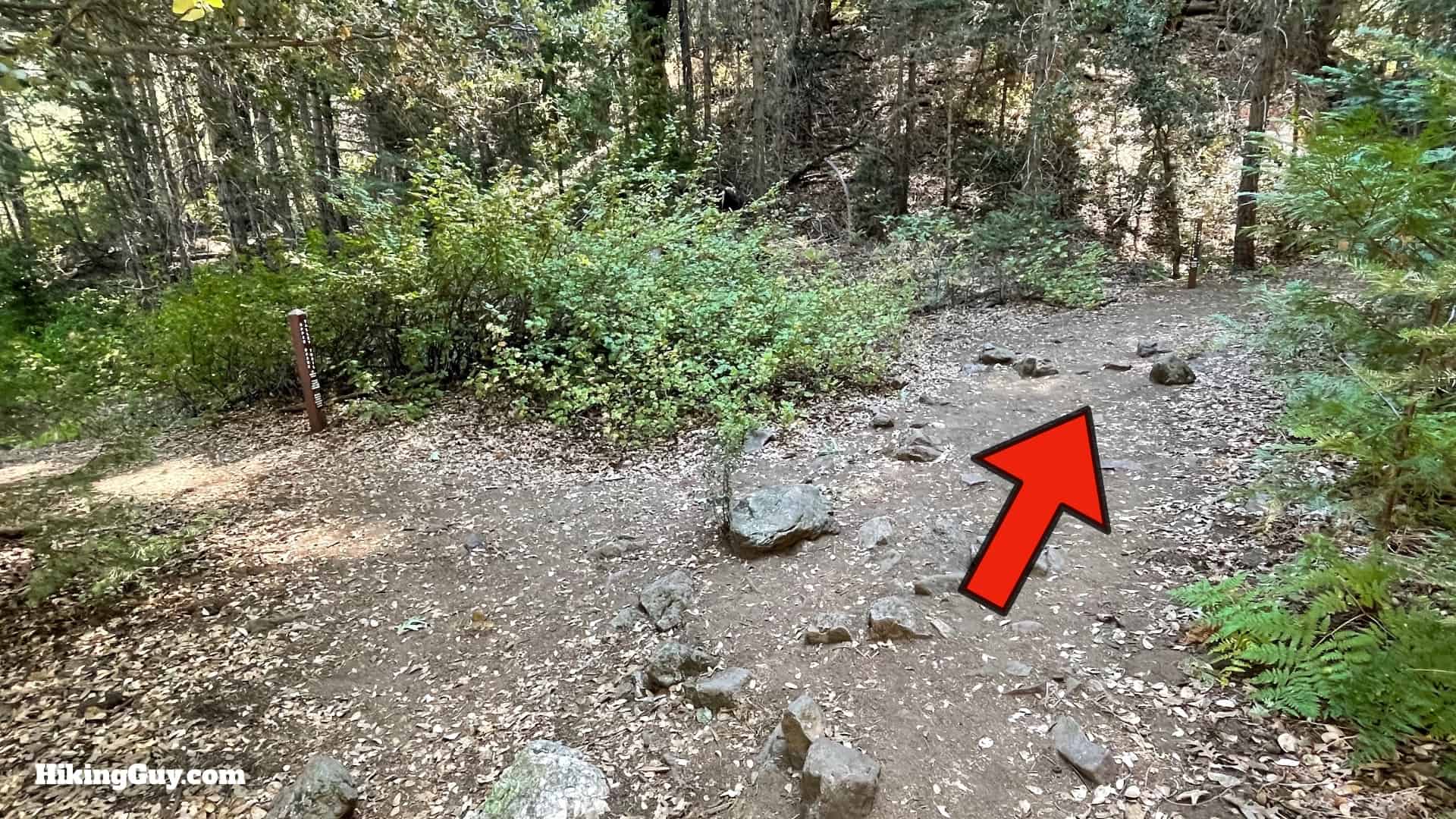
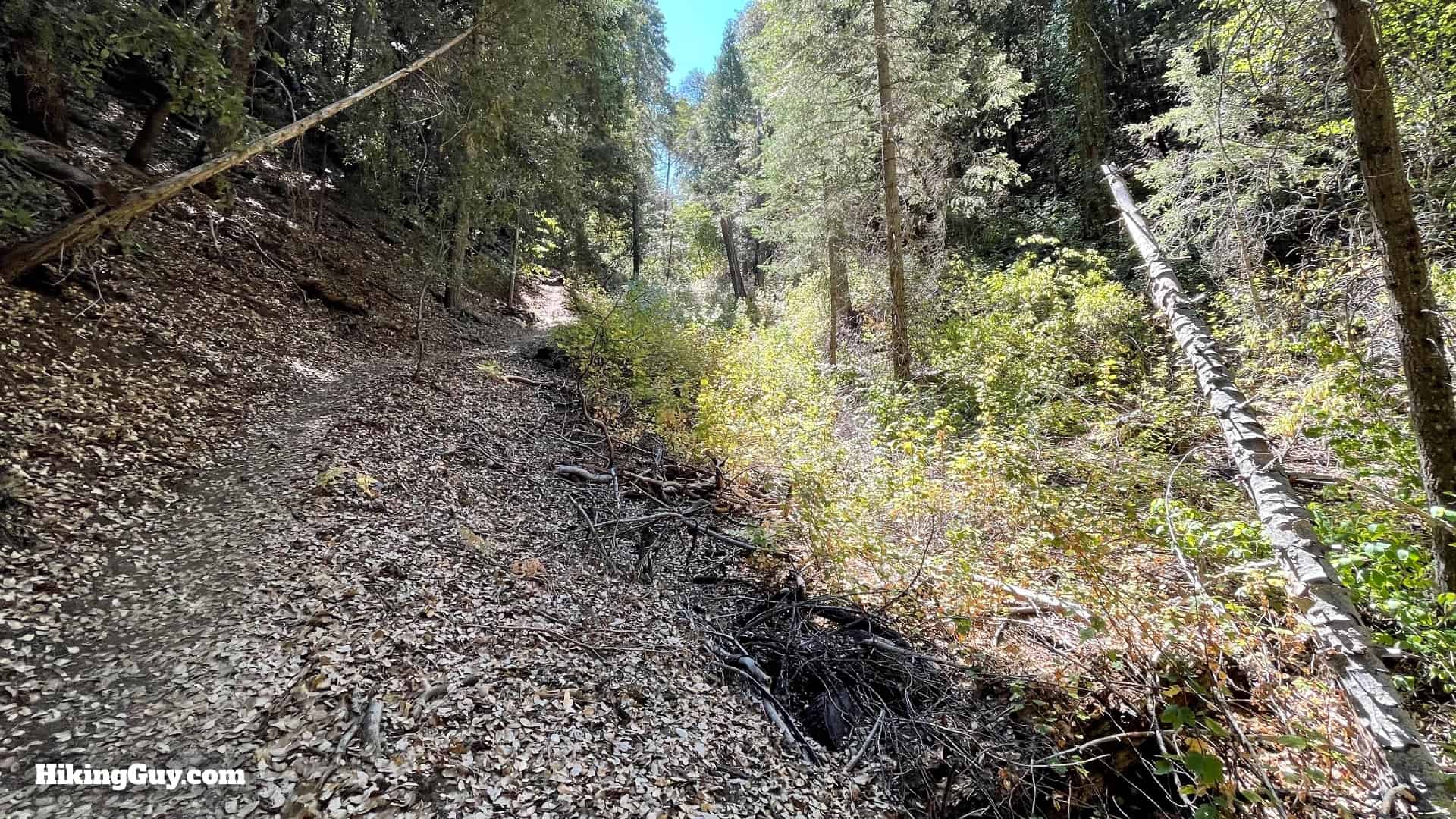
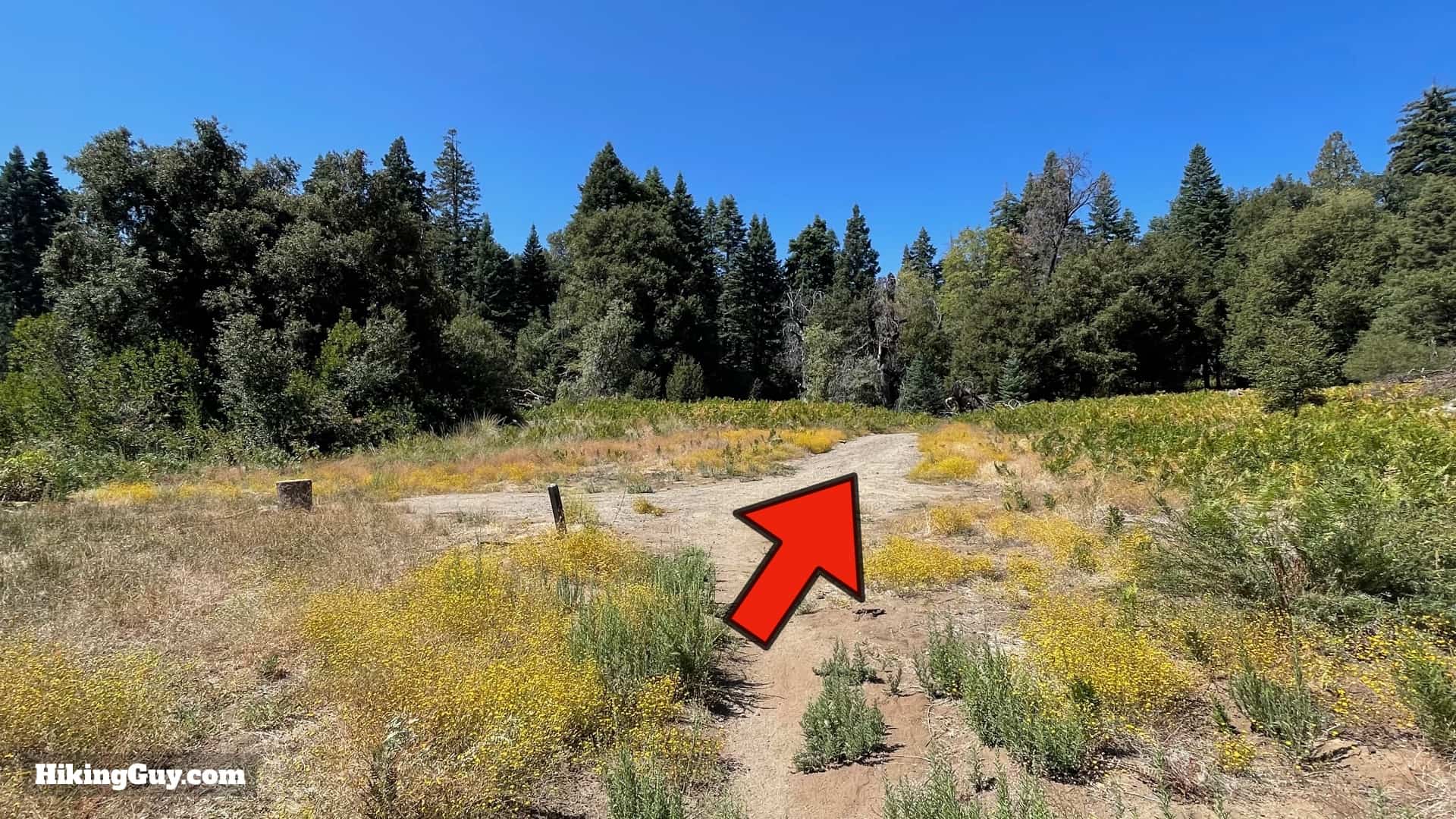
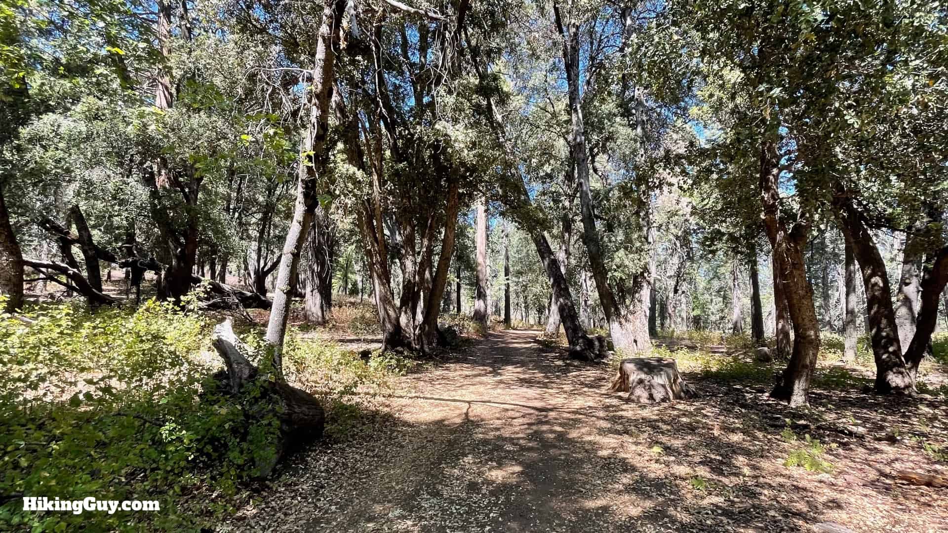
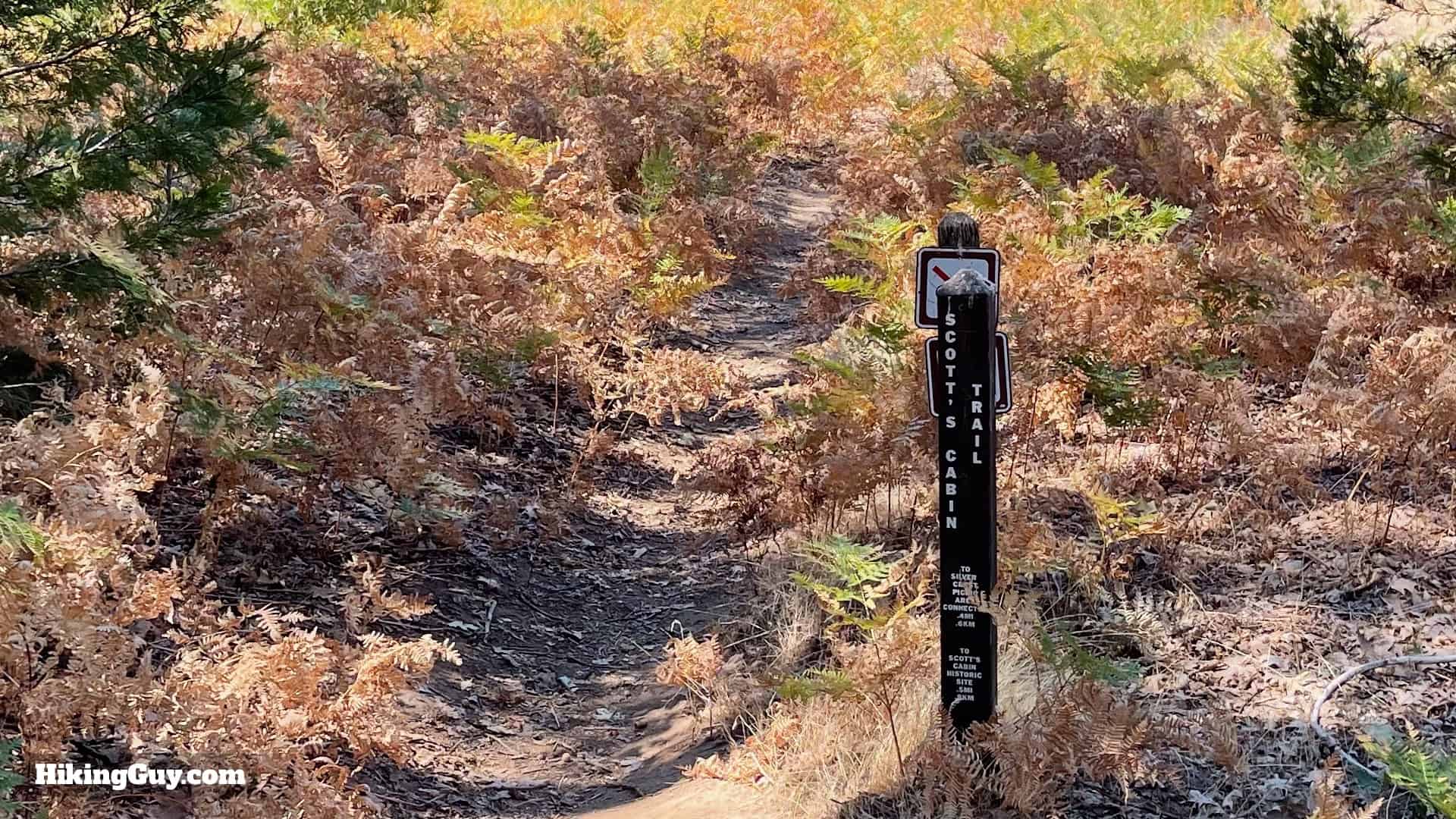
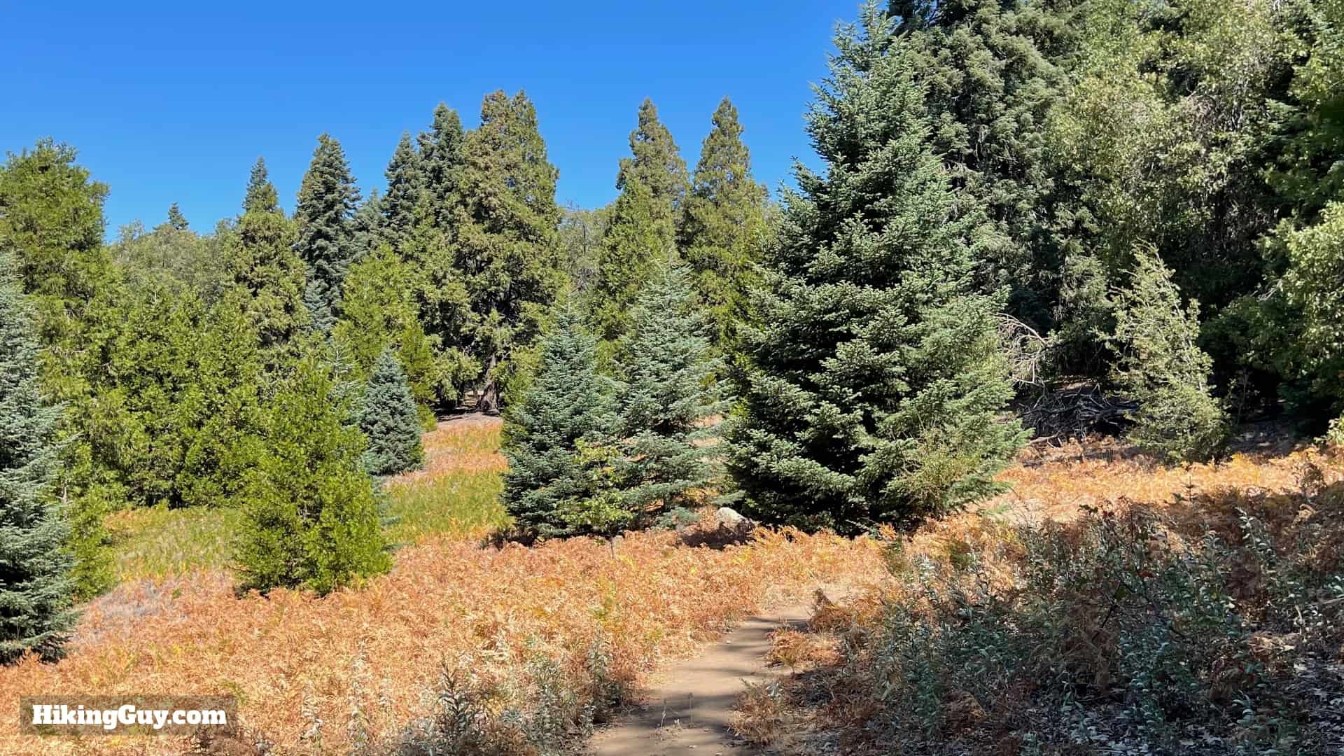
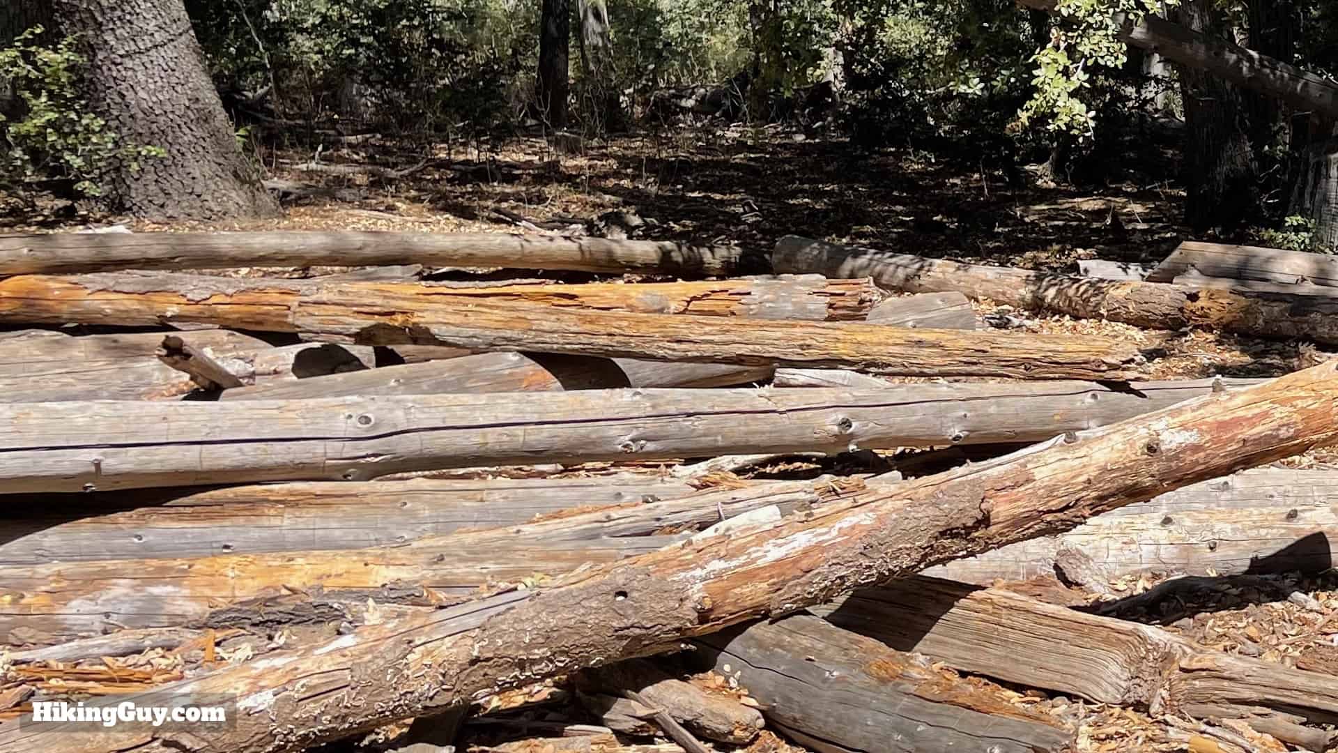
At about 1.6 miles you'll reach Chimney Flat. Go straight through.For the next 0.8 miles or so the trail follows an old shaded dirt road. The road climbs, but it's gradual overall.When you reach the top of the climb, you'll come out at some roads. Cross the road and look to the left.You'll see the start of a trail just across the road.Now you're on the Scott's Cabin Trail. It's mostly downhill from here.When you get to the apple orchard, stay straight. The orchard was planted over 100 years ago by the Scott family who owned this land.You'll notice that the big trees are gone, replaced by younger pines. This area got hit by the 2007 Poomcha fire, which destroyed 65% of the park.Go straight when you see the Silvercrest Picnic Area trail connector on the left.And then at about 3 miles in you'll reach Scott's Cabin. On the left is the cleared area where the cabin stood.On the right is all the timber that the cabin was built with.
Who was Scott? Most likely it was B. F. Scott, who according to a 1900 census, owned the land here. According to Robert Haley Asher (1868-1953), who lived in the area from 1903-1946, an "ancient log cabin" stood around this area and was often occupied by transients and visitors. I like to think it belonged to Andreas & Elvira Scott, Native Americans who were listed in an 1880 census of the area. If you know anything more, please contact me and give me the scoop.
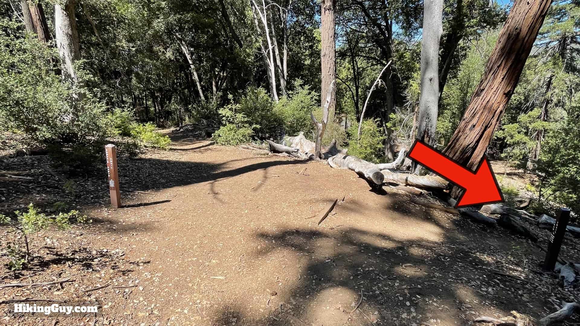
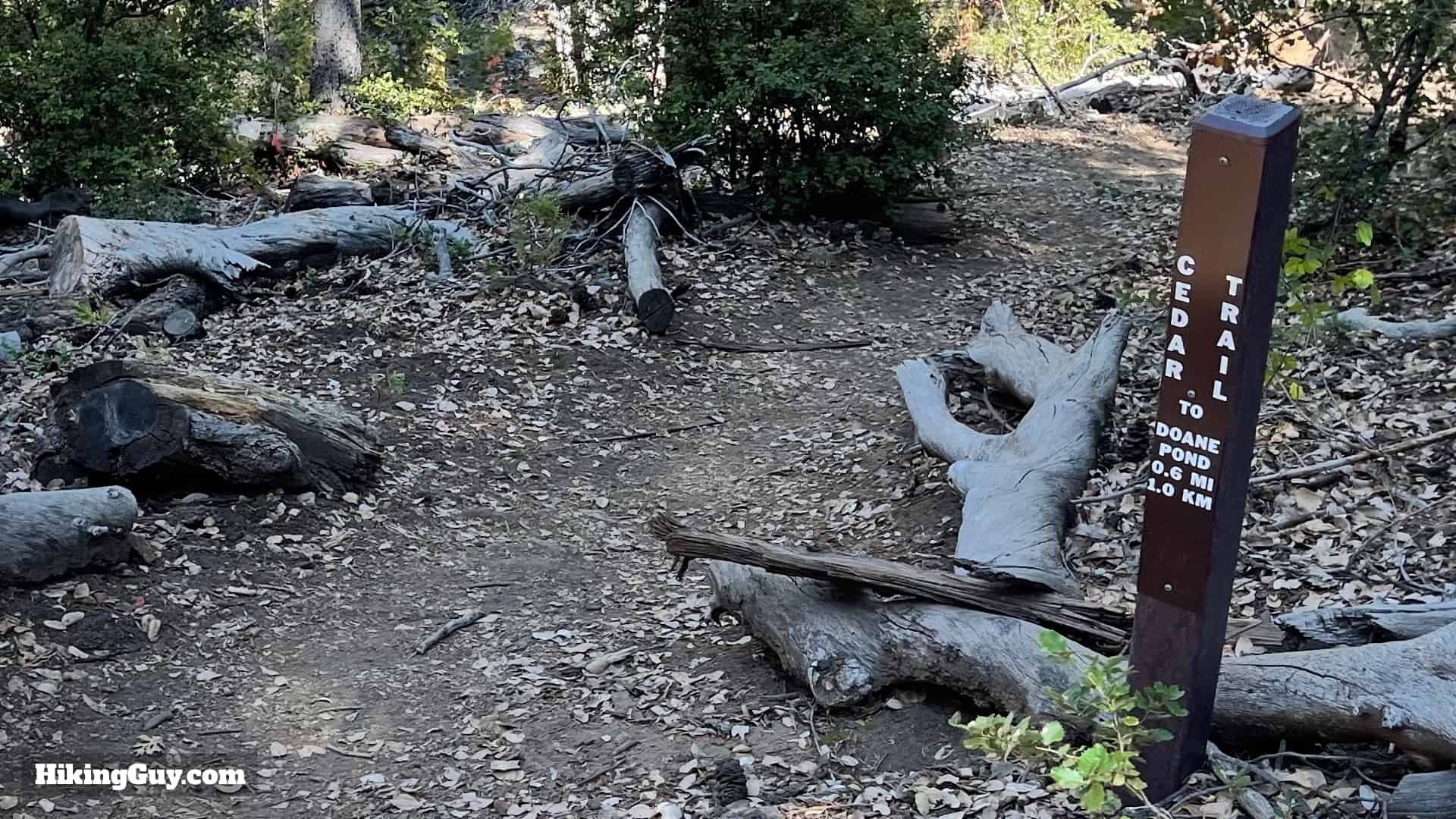
Continue past the cabin and continue the descent.There's a nice downhill with views of the surrounding hills.When you see the intersection of the Cedar Trail on the right, hike down it. Keep your eyes open, it's easy to miss the trail turnoff.Now you are on the Cedar Trail.The trail is rolling as it follows the ridge.And then starts downhill through some massive cedar trees.As you approach the bottom of the hill, the trail gets steeper.And then you are at the bottom. Make the left at the t-junction.And here's Doane Pond again.And then you'll cross the bridge where you first started. Cross over and make the left to head back to the parking area.And here you are at the end of the hike!