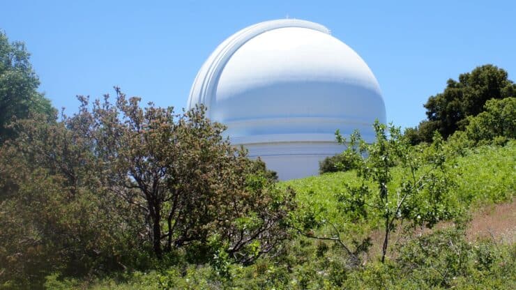

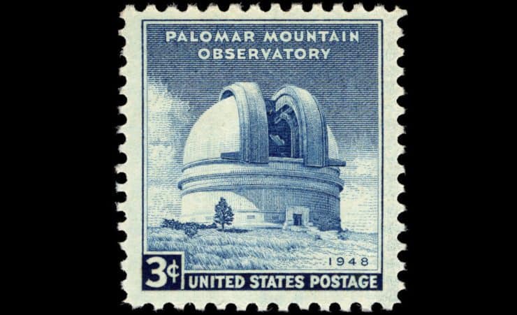
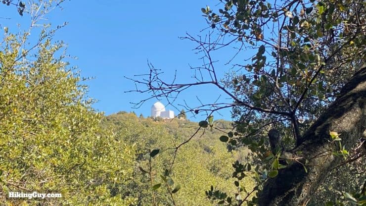
The Palomar Mountain Observatory Trail is a gentle hike that offers a lot of scenery packed into a short distance. One of the only National Recreational Trails in San Diego, the hike takes you through mountain pines and cedars, offers panoramic viewpoints, and ends at the iconic Palomar Observatory, the largest in the world from 1948 to 1976. The Observatory Trail is easy to follow, not too steep, and great for families.
- Video and Turn by Turn Observatory Trail Directions
- How to Get to the Palomar Mountain Observatory Trail
- Tips and Recommendations for the Hike
Where Is the Palomar Mountain Observatory Trail?
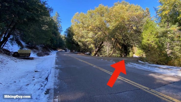
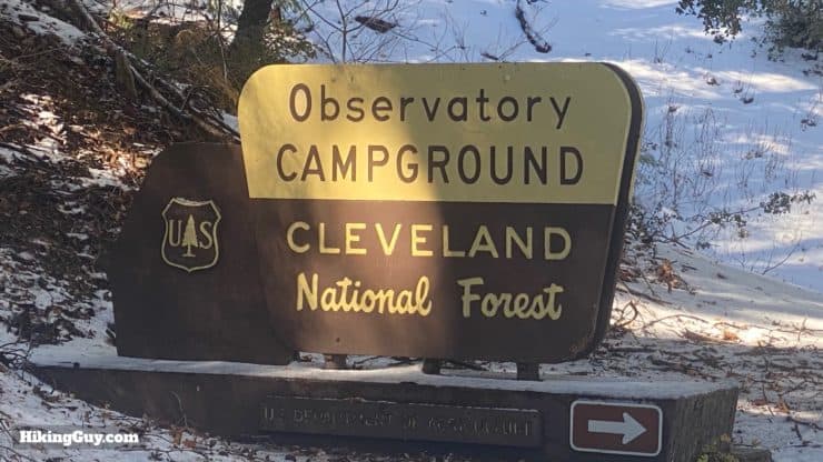
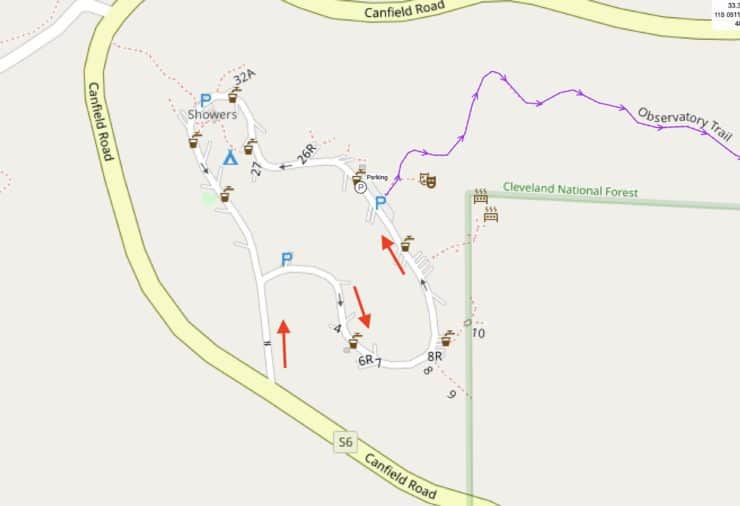
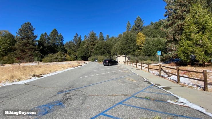
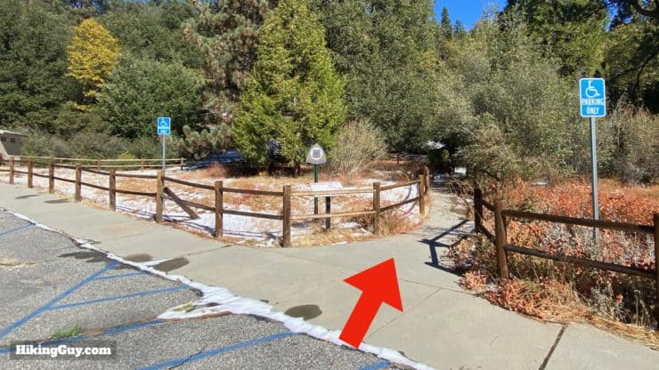
The Observatory Trail starts, appropriately enough, at the Observatory Campground, about 2 miles down the road from Palomar Observatory. The campground is popular with stargazers; several tent sites have open areas for viewing the night sky. And several times each year amateur astronomers come here for star parties. Within the campground is a day-use parking area for the Observatory Trail.
Use this address:
Observatory Campground, Co Hwy S6, State Park Rd #21485, Palomar Mountain, CA 92060


Gear For the Hike
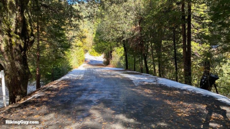
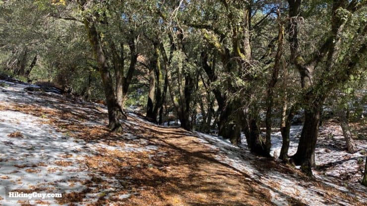
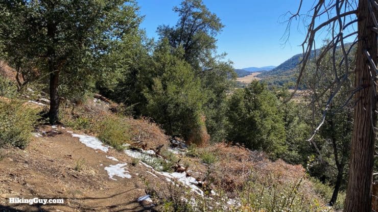
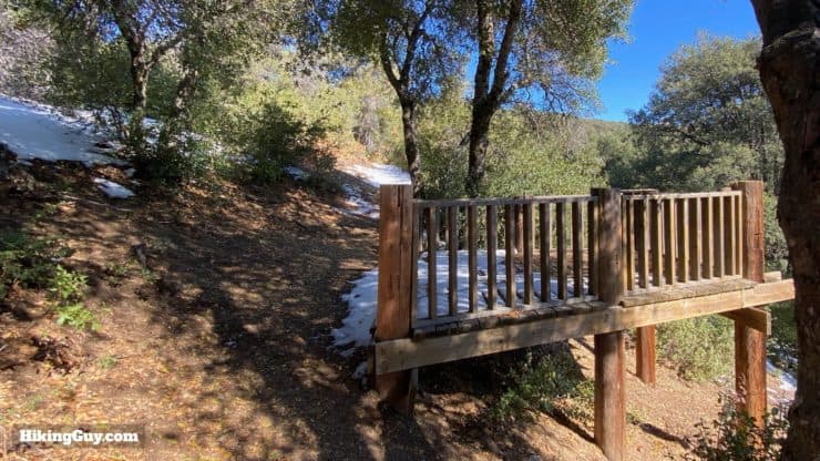
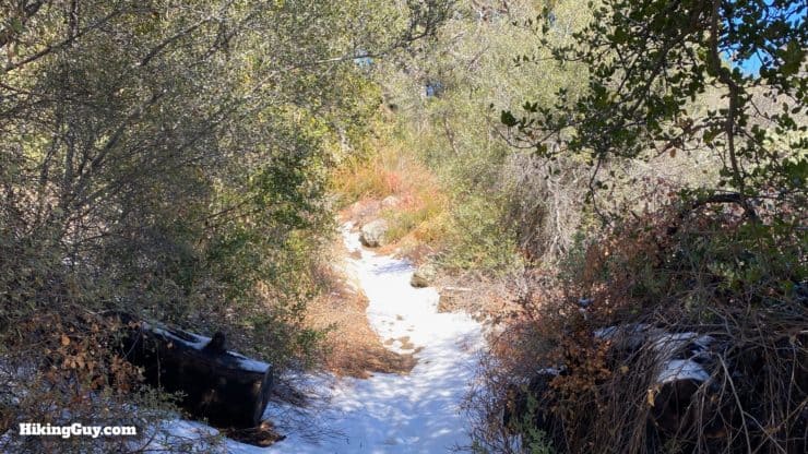
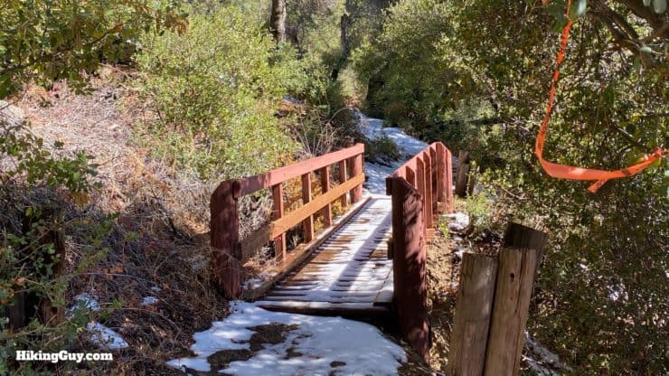
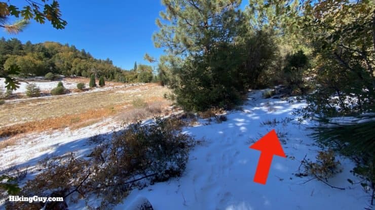
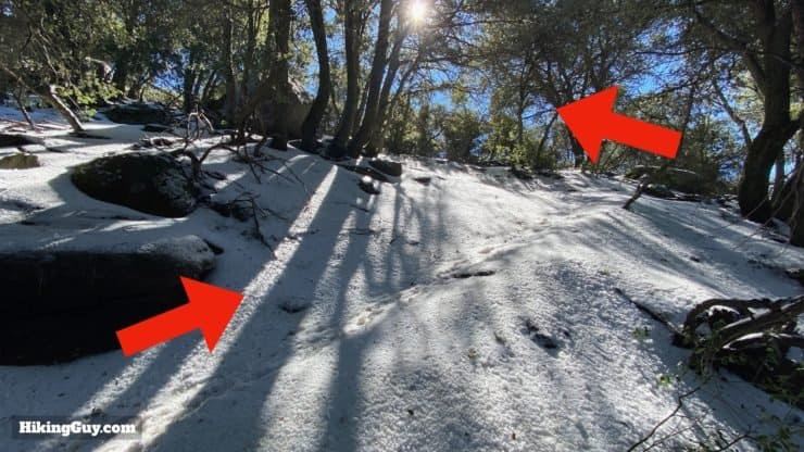
This isn't a particularly challenging hike from a technical standpoint, so nothing special is really needed. If you have light hiking gear and hiking footwear, that's your best move. Otherwise fitness clothes will work well. Take at least 1L of water for the trip. In the summer, bugs can be a pain; bring insect repellant. And as you'll see in my pictures, it does occasionally snow here. Prepare for it to be about 10F cooler up on the mountain than down in the valley (as a rule of thumb). There are older trail reports of overgrown poison oak and poodle dog bush along the trail, but in recent years the Forest Service (specifically the volunteer who lives at the Observatory Campground) has done a great job of keeping the trail clear.
Gear That I Love Right Now
Nothing is sponsored or promoted, just the actual gear that I use.


Check out the complete list here. ( Updated July 2024)
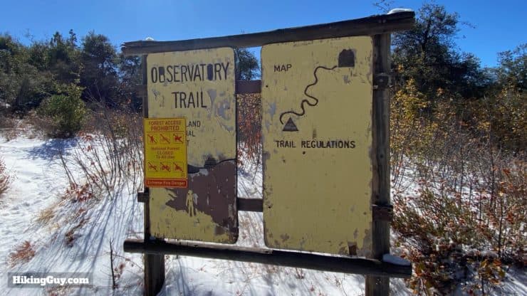
Observatory Trail Maps
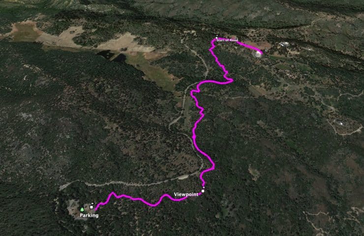
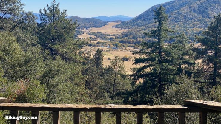
Even though the hike is in a not-so-busy hiking area, the trail is generally in good condition and well maintained. If you look at a map, you'll see that the Observatory Trail roughly follows the road that goes to the observatory. For the majority of the hike, you never see the road. But during summer weekends when the road is busy, you can hear traffic noise.
How Will You Navigate?
 Using the Apple Watch for Hiking
 Garmin Fenix 7 & Epix Review For Hikers
 How To Read a Topographic Map
 Garmin GPSMAP 67i Review
Elevation Profile

3D Map
Hike Brief
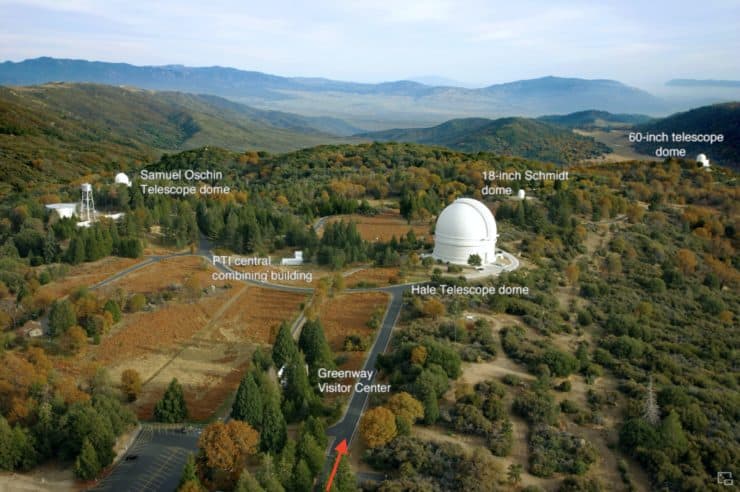
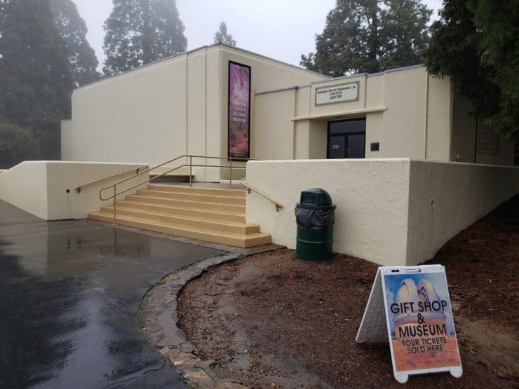
- The observatory is owned and operated by the California Institute of Technology (Caltech). You can visit the telescope and small museum if they're open. Check the website for hours and information.
- George Ellery Hale, who oversaw construction of the observatory at Mt Wilson, got funding to build this observatory in 1928. By that time light pollution from a growing LA was making the Mt Wilson Observatory less effective.
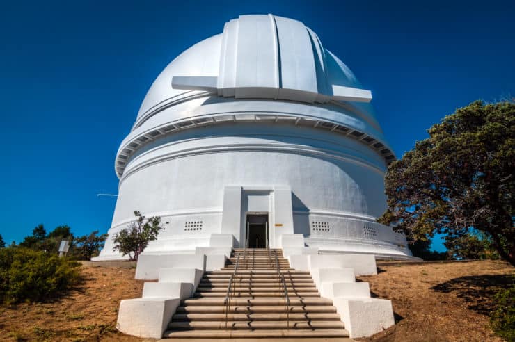
- The 200 inch Hale Telescope is made out of Pyrex glass, the same you can find in almost everyone's kitchen.
- Edwin Hubble (of which the Hubble Space Telescope was named after) was the first astronomer to use the Hale Telescope. The observatory was responsible for many discoveries, including quasars.
- Why is it called Palomar Mountain?
- The native Luiseños people called it Wavamai.
- When the Spanish arrived in 1798 they named the valley "cañada de palomar" which means "valley of the pigeon roost" after the numerous band-tailed pigeons living here. Although the band-tailed pigeon population is on the decline, you can still spot them here at Palomar, which is one of the only places in the American west where they live.

The band-tailed pigeon is the largest in North America. Unlike the city variety, the band-tailed pigeon is shy and tough to spot. Look for them foraging on the ground for acorns, or more likely up on the trees, where they often hang upside down like a parrot. When they take off their wings make a loud sound. Photo Peter Wallack - At one time it was named Smith Mountain, after a sea captain who settled here and was later murdered here. There's a whole story involving Smith, his fellow settler on the mountain, a freed slave named Harrison, and a British ship deserter turned murder It's an interesting read in this San Diego Reader article which also covers some history of the area.
- Locals didn't like the name Smith Mountain and changed it back to Palomar in 1901. It all became official when the Palomar Mountain Post Office opened in 1920 (next to the General Store that you pass on the way to the hike).
- The Observatory Trail is one of the only hiking trails on Palomar Mountain. Much of the land in the area is owned by cattle ranchers or the observatory. Palomar Mountain State Park, to the west of here, doesn't actually encompass the peak of Palomar Mountain.
- This is a great hike for fall colors, which usually hit around November.

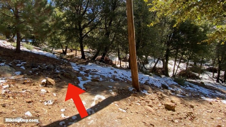
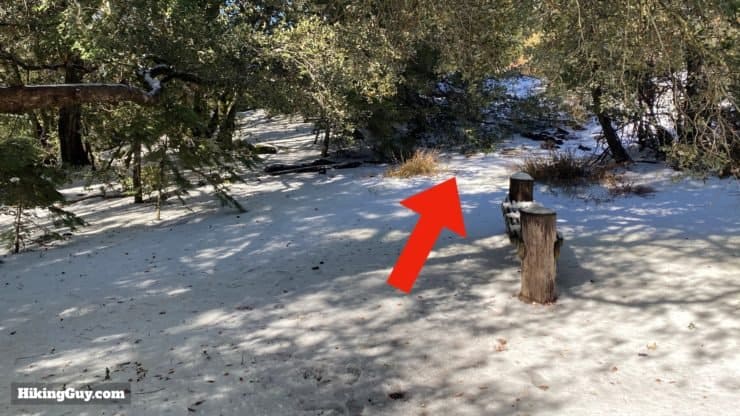
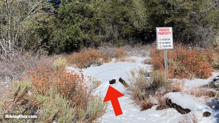
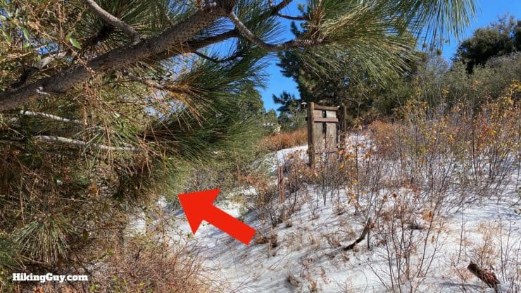
Palomar Mountain Observatory Trail Hike Directions


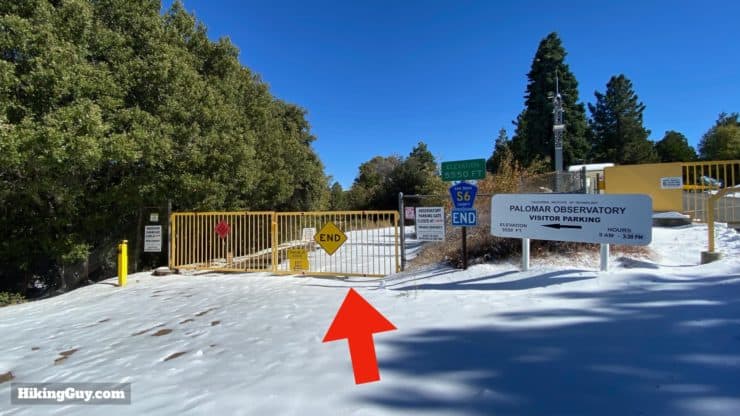

Once you've had your fill at the observatory, just turn around and go back the way you came. You can also hike back down on the road if you'd like, just watch out for cars, there is no sidewalk.
Cover photo by Sebastian Wallroth
Need More Info?
- Have a question about the guide? Join my Patreon and ask me a question.
- When planning, always check the park website and social media to make sure the trails are open. Similarly, check the weather and road conditions.
- Do you have an update to this guide? View the Youtube comments for this video. Leave a comment and I will do my best to update the guide.
Related Guides
 Lower Doane Valley and French Valley Hike
 Oak Grove Trail to High Point Hike
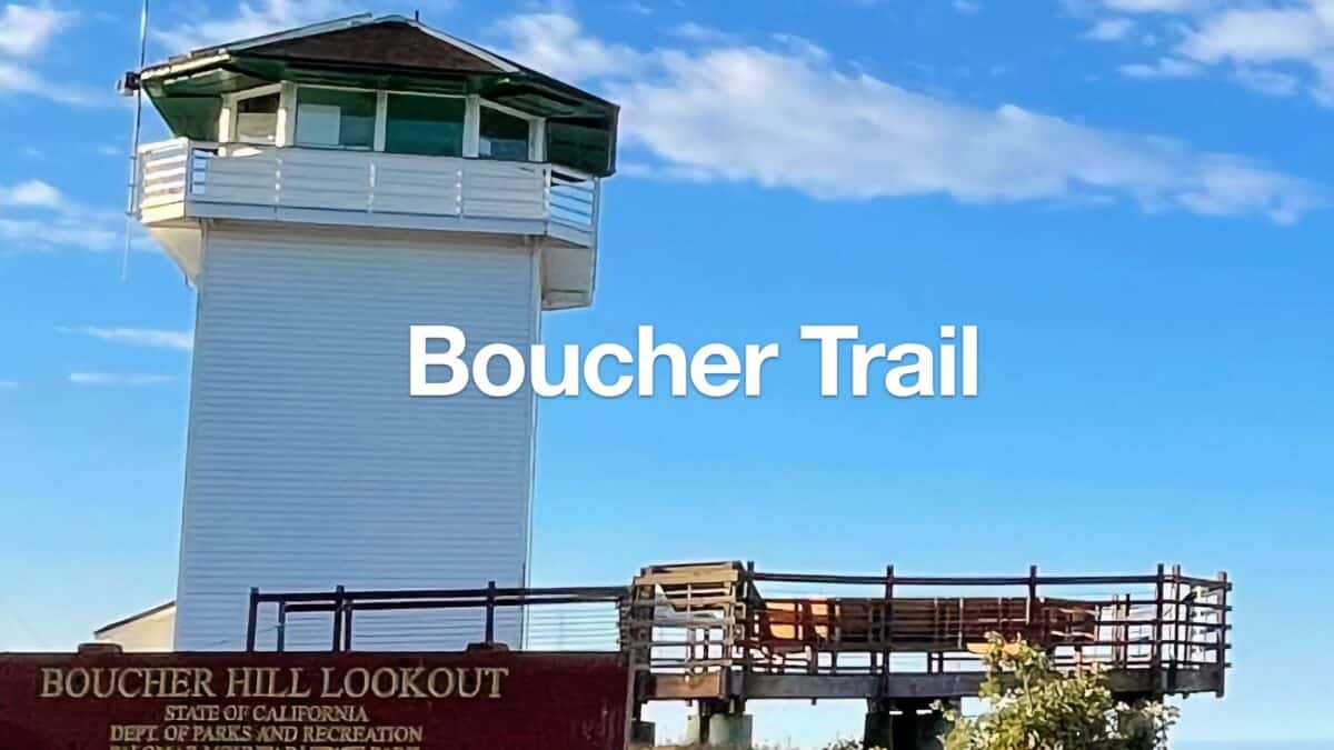 Boucher Fire Tower Loop (Palomar Mountain)
 Thunder Spring Trail Loop
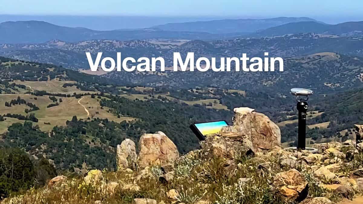 Volcan Mountain Trail Guide
 Hiking San Diego
 Cleveland National Forest Hiking
 Sierra Club 100 Peaks
Popular Guides
 Best Hiking Gear 2024
 Hiking Boots or Shoes: Do I Really Need Hiking Boots?
 When to Hit SOS on inReach
This Guide Was Written by Cris Hazzard

Hi, I'm Cris Hazzard, aka Hiking Guy, a professional outdoors guide, hiking expert, and author based in Southern California. I created this website to share all the great hikes I do with everyone else out there. This site is different because it gives detailed directions that even the beginning hiker can follow. I also share what hiking gear works and doesn't so you don't waste money. I don't do sponsored or promoted content; I share only the gear recommendations, hikes, and tips that I would with my family and friends. If you like the website and YouTube channel, please support these free guides (I couldn't do it without folks like you!). You can stay up to date with my new guides by following me on YouTube, Instagram, or by subscribing to my monthly newsletter.