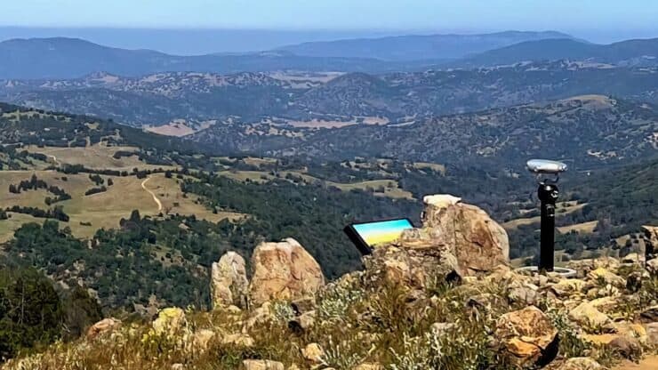

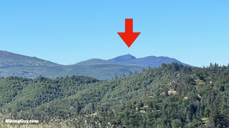
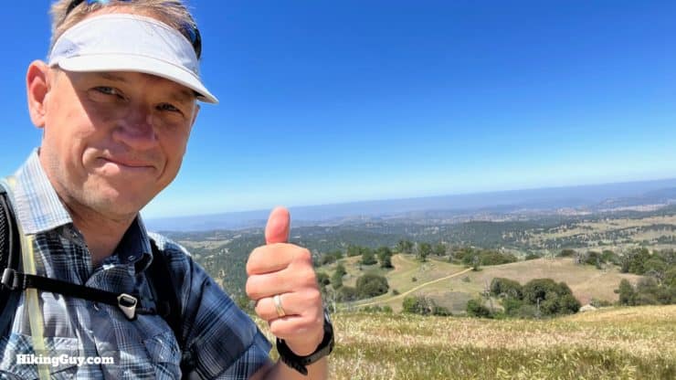
This hike visits the namesake of the Volcan Mountain Wilderness Preserve, and it's a journey filled with natural beauty, history, and breathtaking views. To get to Volcan Mountain, we will take the popular Volcan Mountain Trail and then hop on the Five Oaks Trail, where the beauty is on another level. When we get to the summit, we'll enjoy views from the Salton Sea to Catalina.
- Video and Turn-by-Turn Directions for the Volcan Mountain Trail
- Where to Park for the Volcan Mountain Trail
- Insider Tips & Recommendations for the Hike
Where is the Volcan Mountain Trail?
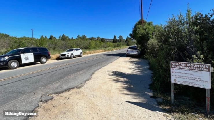
There's no parking lot for the Volcan Mountain Trail. Instead, you are allowed to park on the wide shoulder along the road by this address:
1209 Farmer Road, Julian, CA 92036
Gear For the Hike
Although you can get away with fitness clothing, I recommend proper hiking gear for the hike. Bring at least 1L of water, and trekking poles can help on the steeper slopes of the Volcan Mountain Trail. The weather can be extreme. In the summer it can get very hot (and the trail is mainly exposed). In the winter, there can be snow.
When the winter winds howl on Volcan, there's nothing between it and the North Pole except for a barbed wire fence, and that blew down. Old Julian Local's Saying
Gear That I Love Right Now
Nothing is sponsored or promoted, just the actual gear that I use.


Check out the complete list here. ( Updated July 2024)
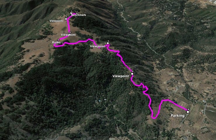
Volcan Mountain Trail Maps
How Will You Navigate?
 Using the Apple Watch for Hiking
 Garmin Fenix 7 & Epix Review For Hikers
 How To Read a Topographic Map
 Garmin GPSMAP 67i Review
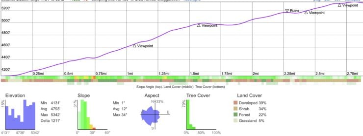
Elevation Profile
3D Map
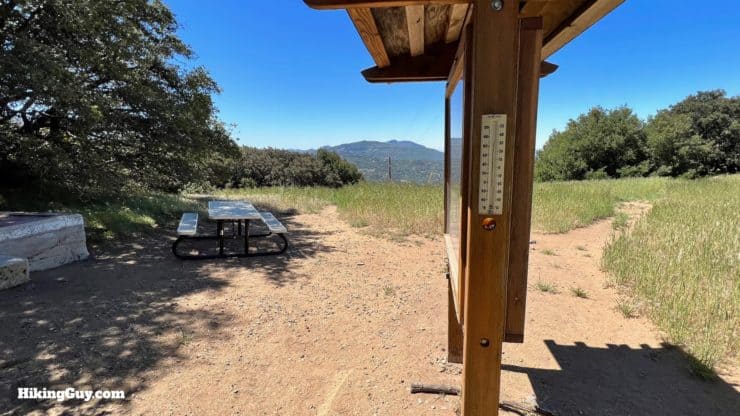
Hike Brief
- Is Volcan Mountain a volcano? Nope, it's good old granite. There's some dispute about how it got its name. Some say the Spanish thought it looked like a volcano. Others say they named it after the Spanish word for balcony, baulcon, because of the views. And there's another theory is that a rancher named Vaulcan lived there. And to round it out, others say it's derived from an early Mexican land grant called Rancho de Santa Ysabel Baulcon. Had enough? The native Diegueno called it "Hahachephag" meaning "where the water comes from." The mountain is the headway for the San Dieguito and the San Diego river basins.
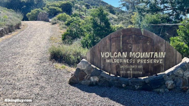
- The land here was privately owned for many years. It was going to be sold into luxury home lots in the 1980s, but the locals saved the area, and it eventually became the Volcan Mountain Wilderness Preserve. Today the Volcan Mountain Foundation works hard to protect, manage, and educate.
- When former slave A.E. "Fred" Coleman discovered gold on the southern slope of Volcan Mountain in 1869, the Julian gold rush began. Today Julian is a great place to grab apple pie or cider after the hike.
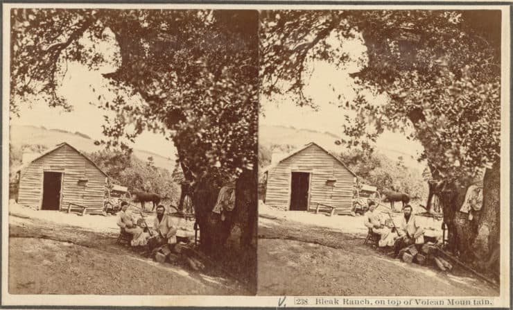
Here's what Volcan Mountain looked like in 1875 during the gold rush. The upper slopes of Volcan Mountain were mainly used for ranching and logging. This is Bleak Ranch, probably raising cattle for the town below. Photo SoCa Digitization Project
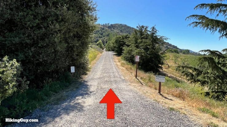
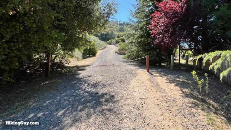
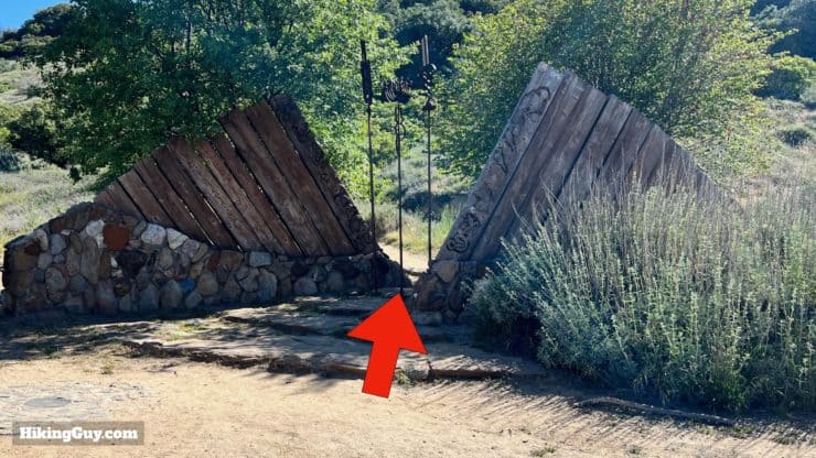
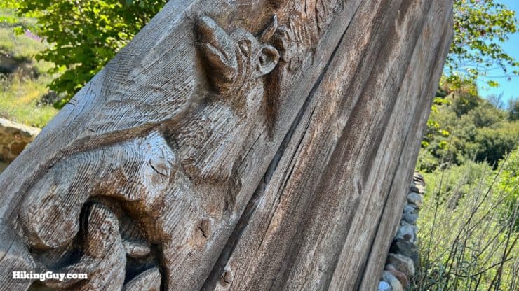
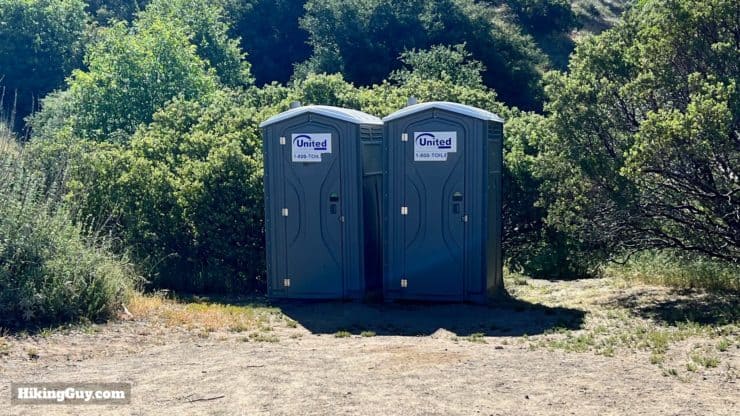
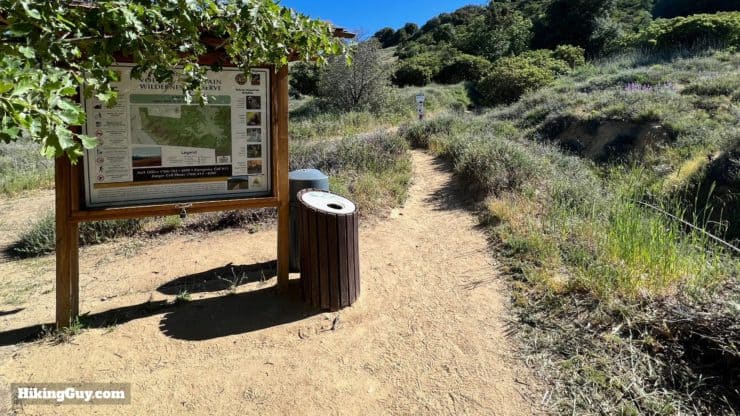
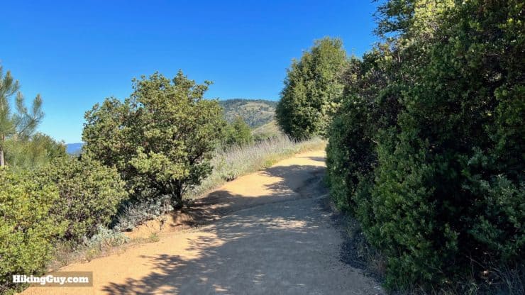
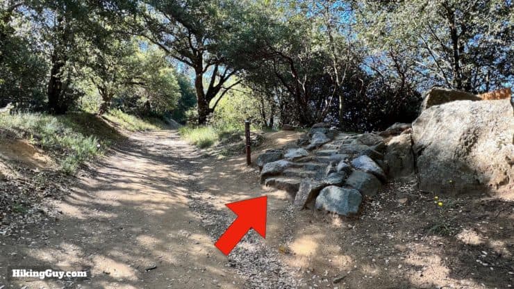
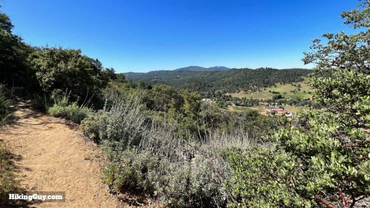
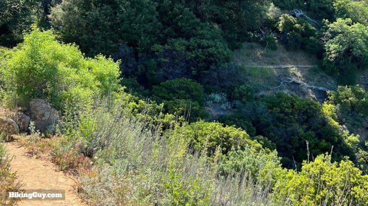
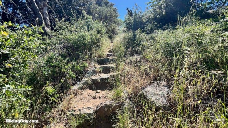
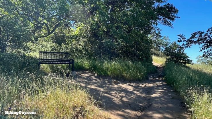
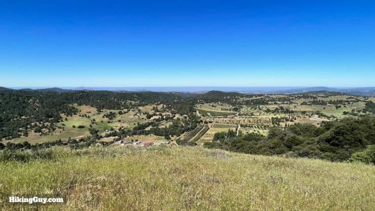
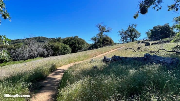
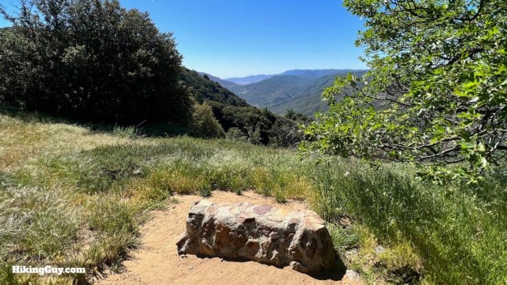
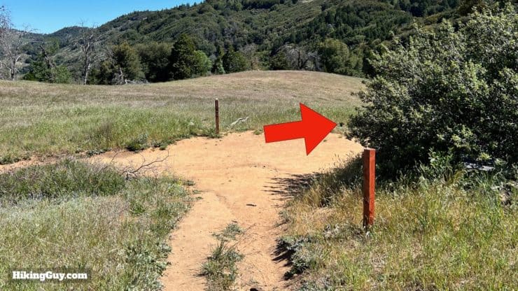
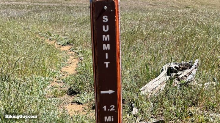
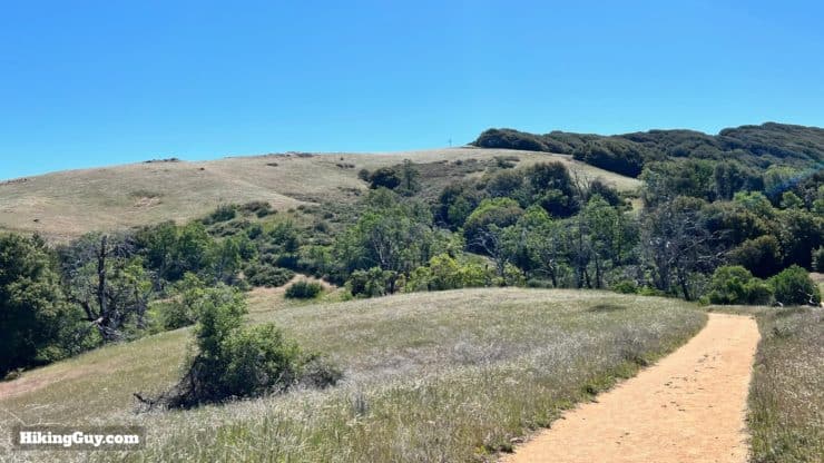
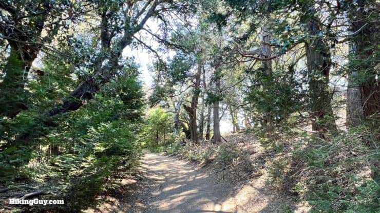
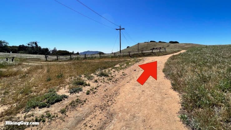
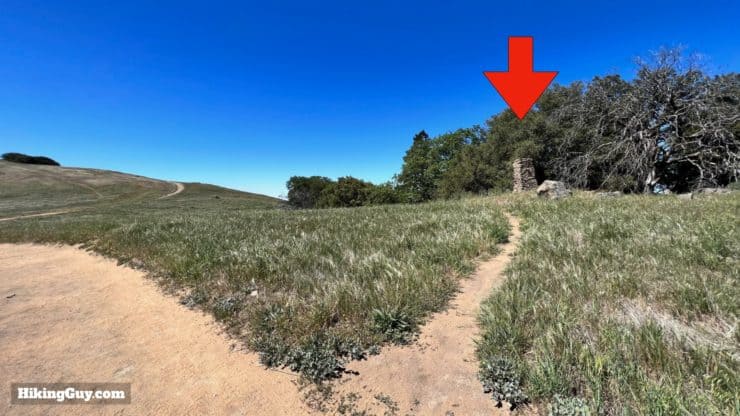
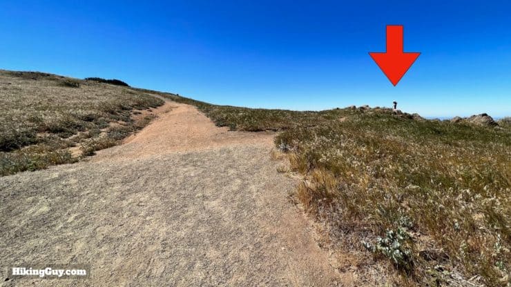
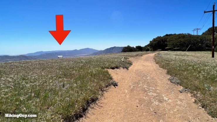
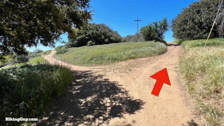
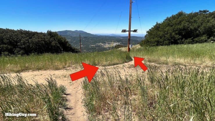
Volcan Mountain Hike Directions
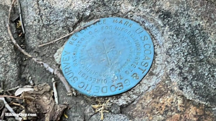
The Elsinore Fault is directly underneath you here.
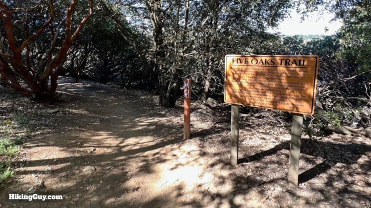
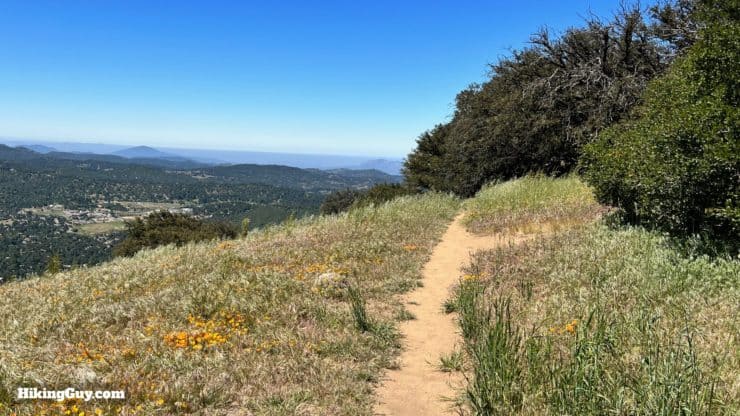
The Five Oaks Trail was built in 2003 by the California Conservation Corps, and is named after the five species of oaks found along the trail. Since the trail was built, they've found an additional three species of oaks growing here, bringing the total to eight. This area is at just the right elevation to allow lower and higher elevation oaks to live together.
The downdrafts coming off Volcan Mountain into the desert are notorious here. Several small planes have crashed into the side of the mountain when they didn't account for these strong winds.
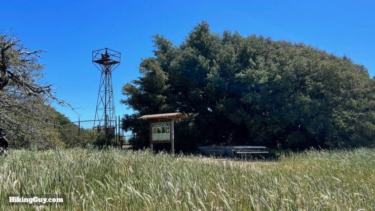
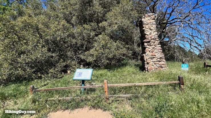
The tower you see here is an Airway Light Beacon, used before modern aviation navigation systems to help guide pilots along airways. By 1972 the entire network was decommissioned.
Need More Info?
- Have a question about the guide? Join my Patreon and ask me a question.
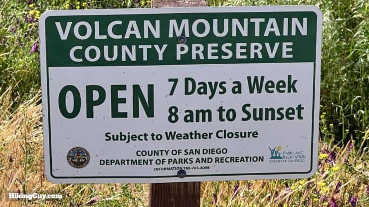
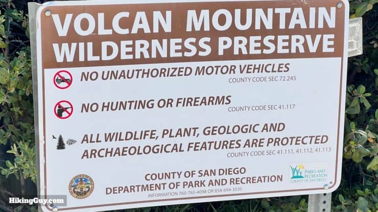
- When planning, always check the park website and social media to make sure the trails are open. Similarly, check the weather and road conditions.
- Do you have an update to this guide? View the Youtube comments for this video. Leave a comment and I will do my best to update the guide.
Related Guides
 Hiking Stonewall Peak Trail
 Palomar Mountain Observatory Trail
 Lower Doane Valley and French Valley Hike
 Hiking San Diego
Popular Guides
 Best Hiking Gear 2024
 Hiking Boots or Shoes: Do I Really Need Hiking Boots?
 When to Hit SOS on inReach
This Guide Was Written by Cris Hazzard

Hi, I'm Cris Hazzard, aka Hiking Guy, a professional outdoors guide, hiking expert, and author based in Southern California. I created this website to share all the great hikes I do with everyone else out there. This site is different because it gives detailed directions that even the beginning hiker can follow. I also share what hiking gear works and doesn't so you don't waste money. I don't do sponsored or promoted content; I share only the gear recommendations, hikes, and tips that I would with my family and friends. If you like the website and YouTube channel, please support these free guides (I couldn't do it without folks like you!). You can stay up to date with my new guides by following me on YouTube, Instagram, or by subscribing to my monthly newsletter.