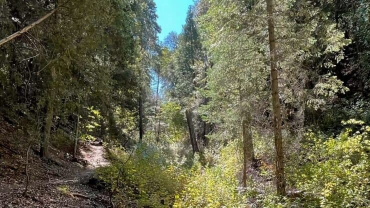

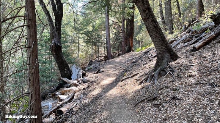
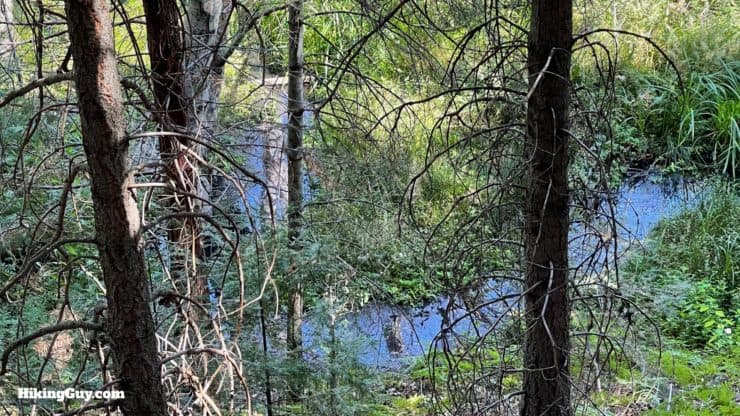
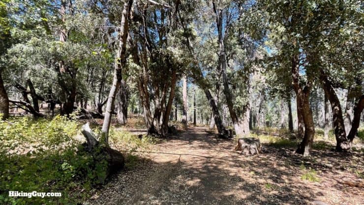
The Thunder Spring Trail Loop is one of the quieter hikes in Palomar Mountain State Park; it's a great hike to get away from it all. The scenery is lush, with lots of pines, cedars, and in the spring, wildflowers. You have a climb that will get your heart rate up, but is not too tough. And along the way, you visit a historic homesteader's cabin site. Overall it's a nice trail and a good time.
- Video and Turn-by-Turn Directions for the Thunder Spring Trail Hike
- How to Get to the Thunder Spring Trail
- Insider Tips and Recommendations for the Hike
Where is the Thunder Spring Trail?
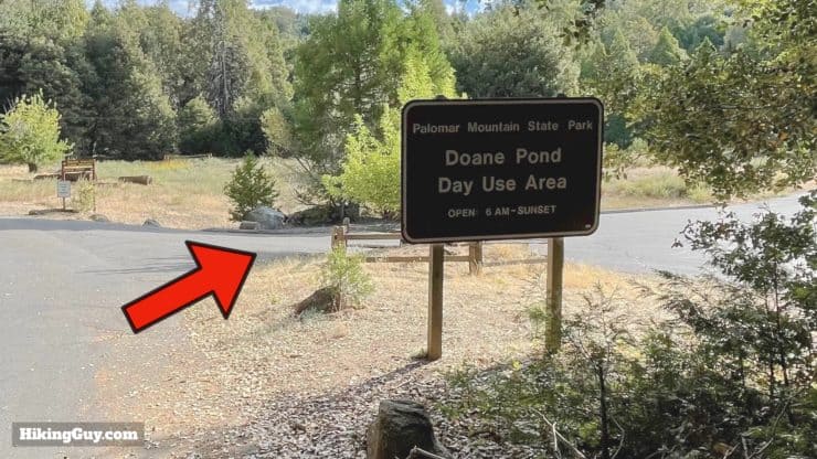
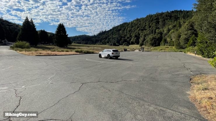
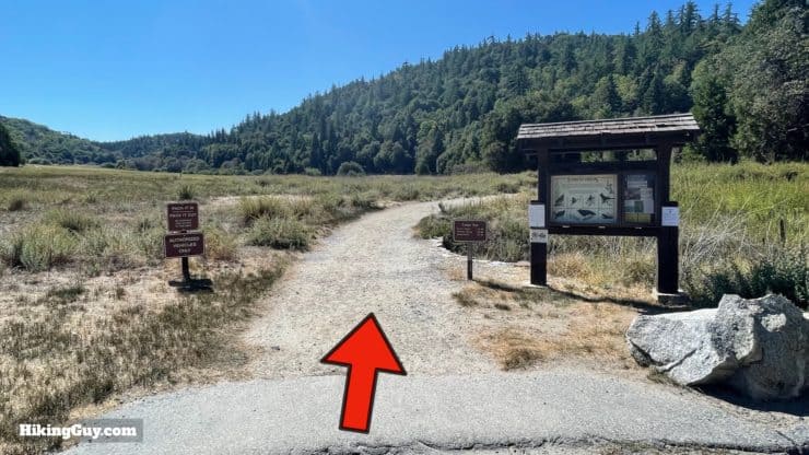
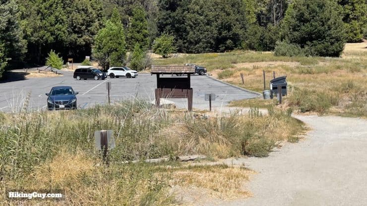
The Thunder Spring Trail hike is located in Palomar Mountain SP. Drive into the park and follow the signs for Doane Pond. There's also a (private) retreat by the pond that might be more GPS-friendly. Use this trailhead address:
Camp Palomar, 34798 Doane Valley Rd, Palomar Mountain, CA 92060
There is an entry fee to enter Palomar Mountain State Park.
Gear For the Hike
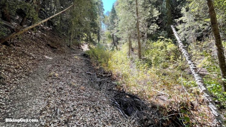
The main challenge on this hike can be poison oak and nettles. Wearing long pants solves the problem, just make sure you don't touch your pants if you go through a patch. And there can be gnats, so bring insect repellant. Otherwise this is a straightforward backcountry hike with lots of shade. I bring 1L of water.
Gear That I Love Right Now
Nothing is sponsored or promoted, just the actual gear that I use.


Check out the complete list here. ( Updated October 2024)
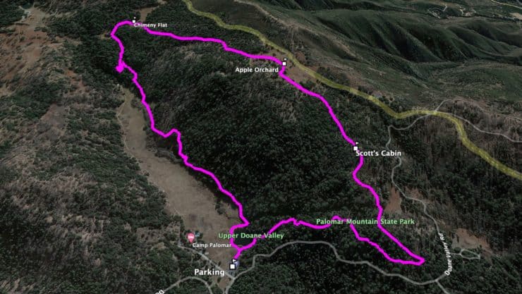
Thunder Spring Trail Maps
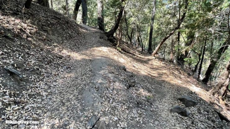
Overall the trails are easy to follow and well-marked with signs. You can also save a copy of the handy park handout map which keeps things simple.
How Will You Navigate?
 Using the Apple Watch for Hiking
 Garmin Fenix 7 & Epix Review For Hikers
 How To Read a Topographic Map
 Garmin GPSMAP 67i Review
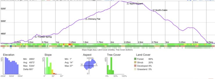
Elevation Profile
3D Map
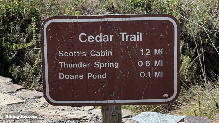
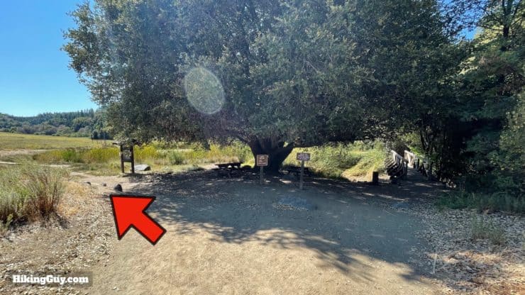
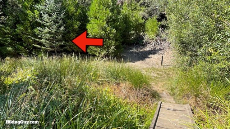
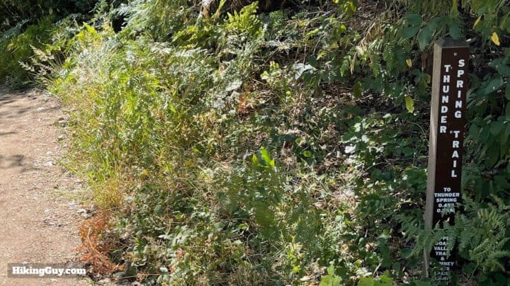
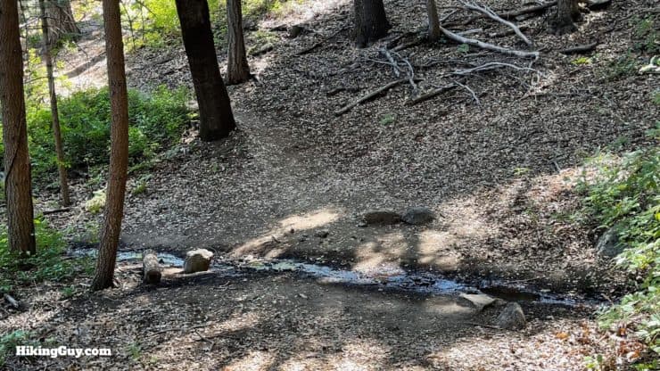
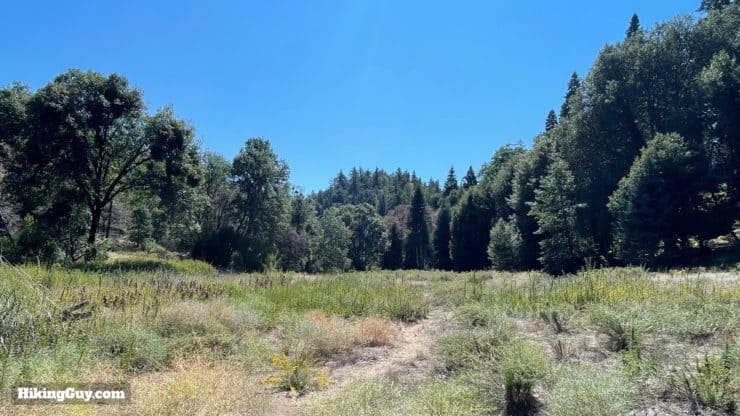
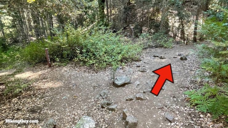
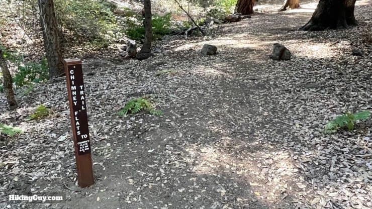
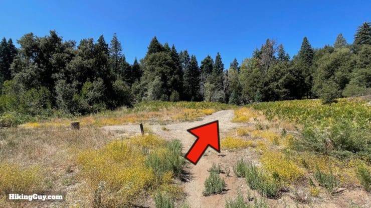
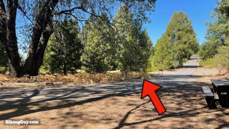
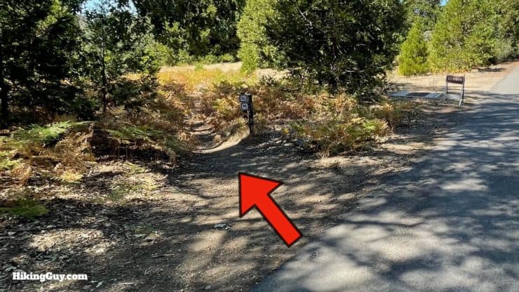
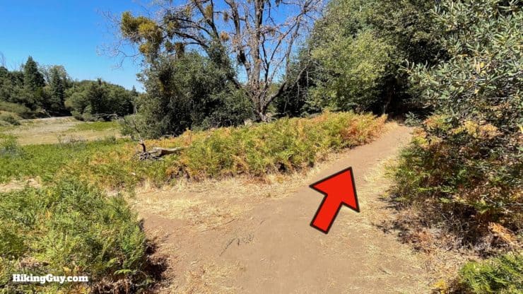
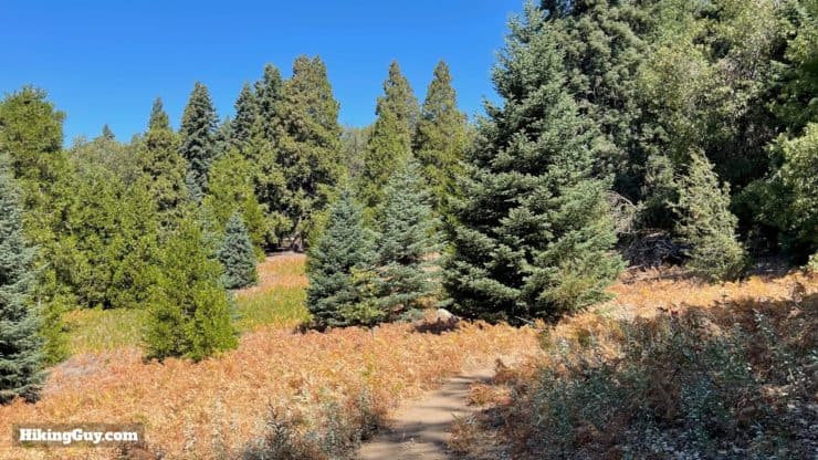
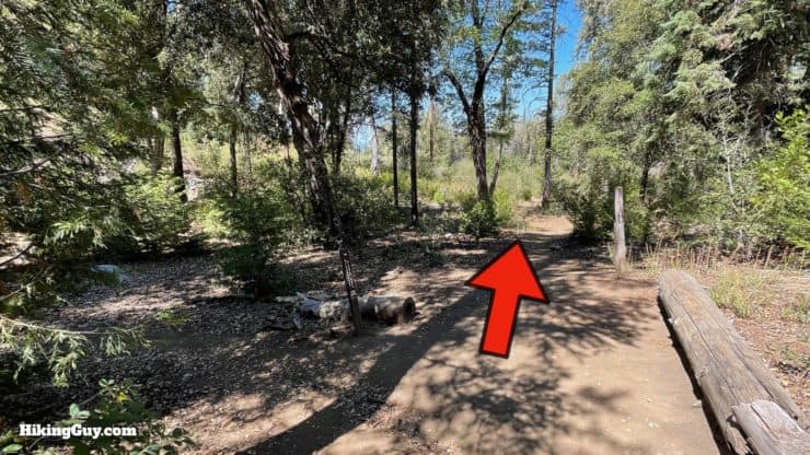
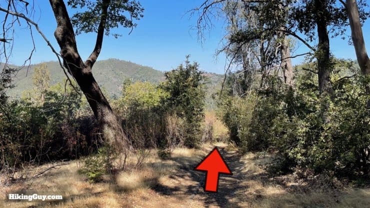
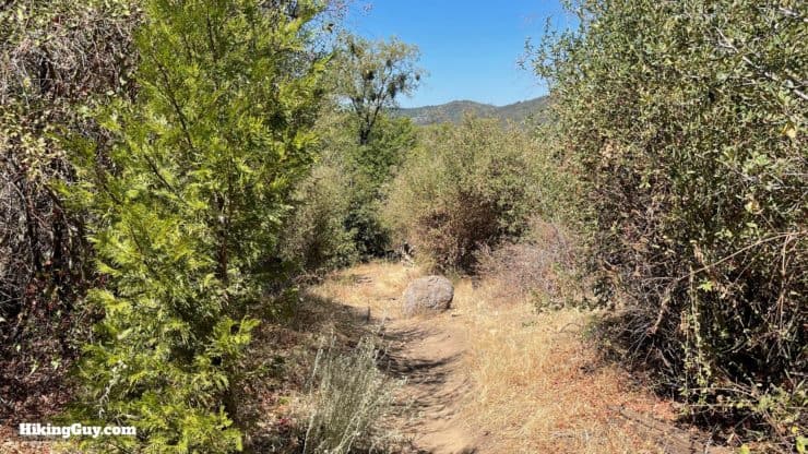
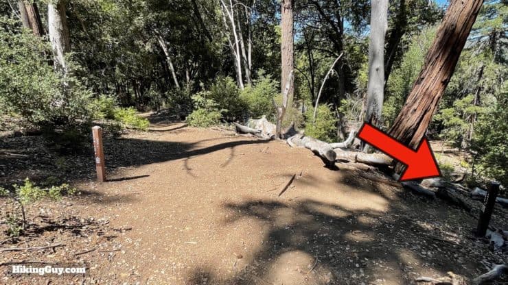
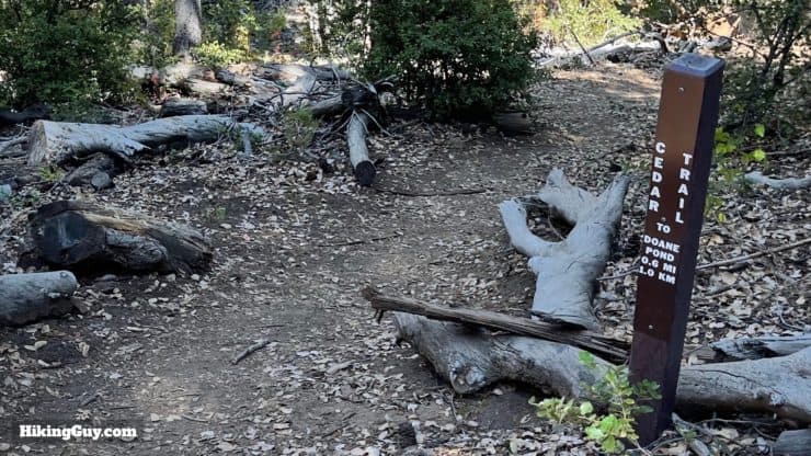
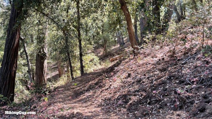
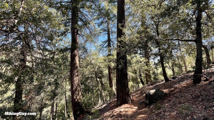
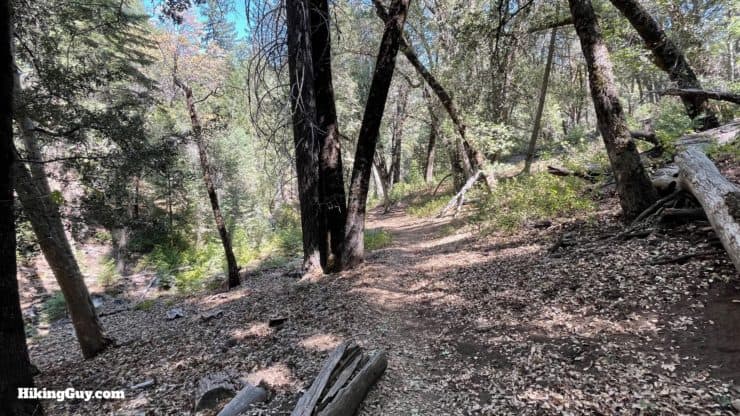
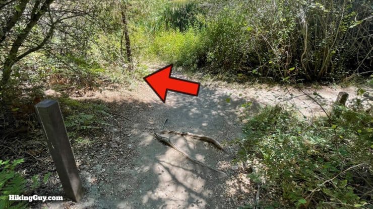
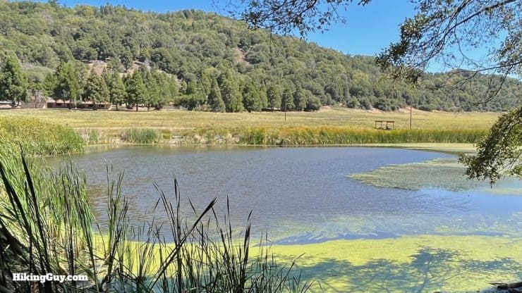
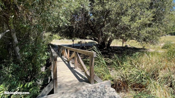
Thunder Spring Trail Hike Directions
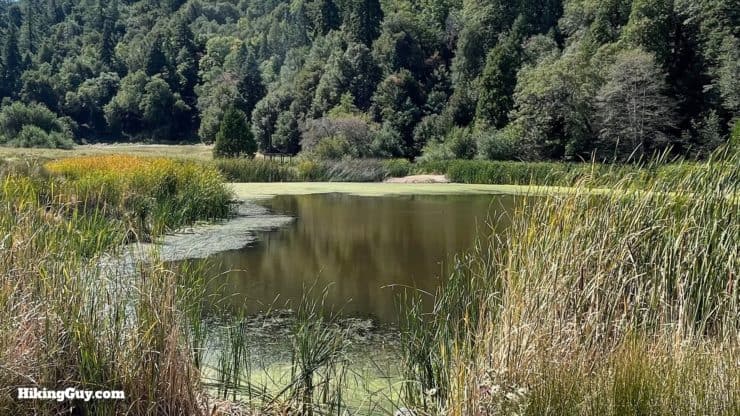
Who is Doane? You can read about him here.
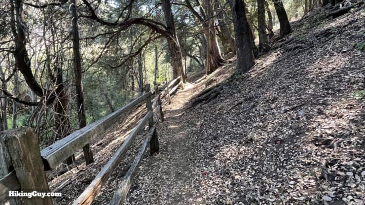
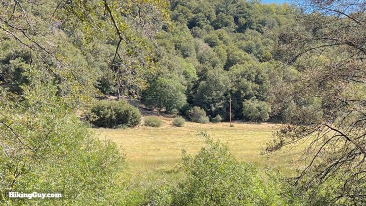
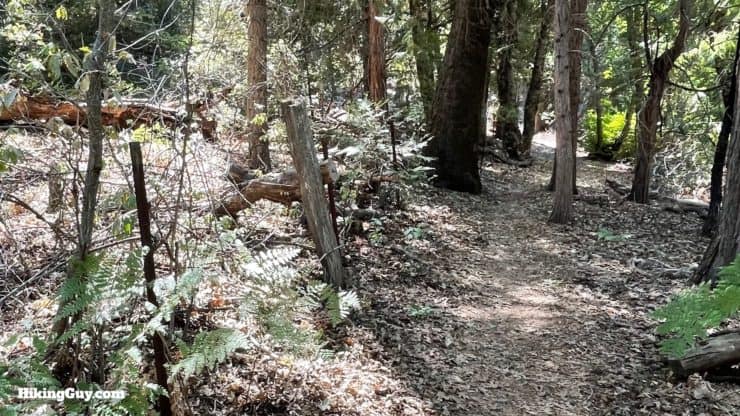
The land on the other side of the fence belongs to a cattle ranch, something you wouldn't expect up on Palomar Mountain. If you drive to the observatory you can see the pastures alongside the road. There has been cattle ranching here since 1860, when the Mendenhall family started bringing cows up to the mountain during the summer (and back down into the valley during the winter). The Mendenhall'ls are still owners of the ranch.
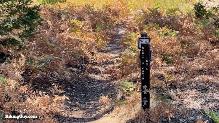
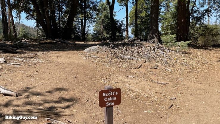
Who was Scott? Most likely it was B. F. Scott, who according to a 1900 census, owned the land here. According to Robert Haley Asher (1868-1953), who lived in the area from 1903-1946, an "ancient log cabin" stood around this area and was often occupied by transients and visitors. I like to think it belonged to Andreas & Elvira Scott, Native Americans who were listed in an 1880 census of the area. If you know anything more, please contact me and give me the scoop.
Need More Info?
- Have a question about the guide? Join my Patreon and ask me a question.
- When planning, always check the park website and social media to make sure the trails are open. Similarly, check the weather and road conditions.
- Do you have an update to this guide? View the Youtube comments for this video. Leave a comment and I will do my best to update the guide.
Related Guides
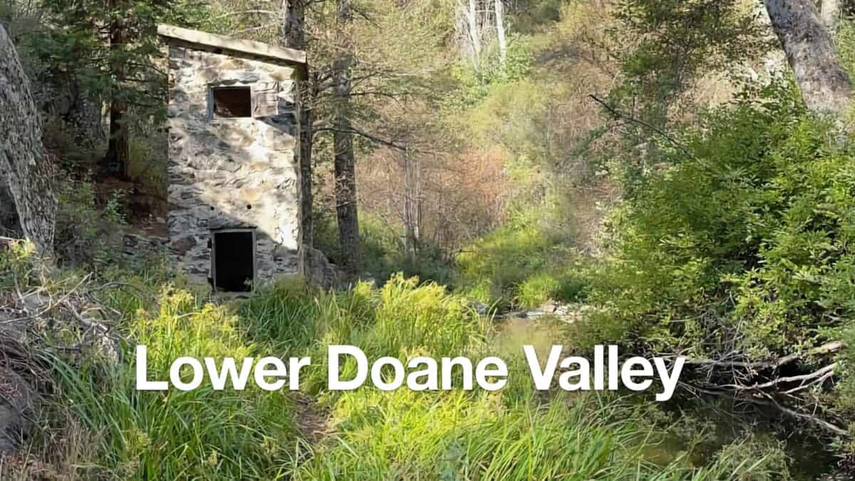 Lower Doane Valley and French Valley Hike
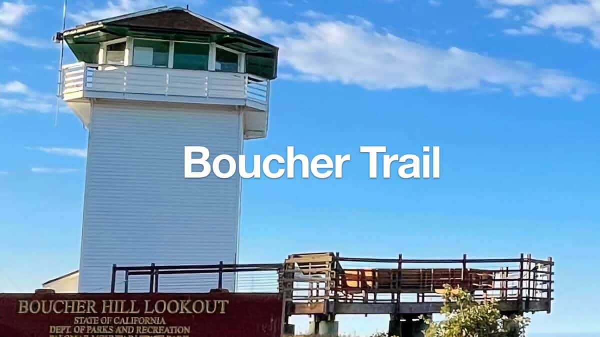 Boucher Fire Tower Loop (Palomar Mountain)
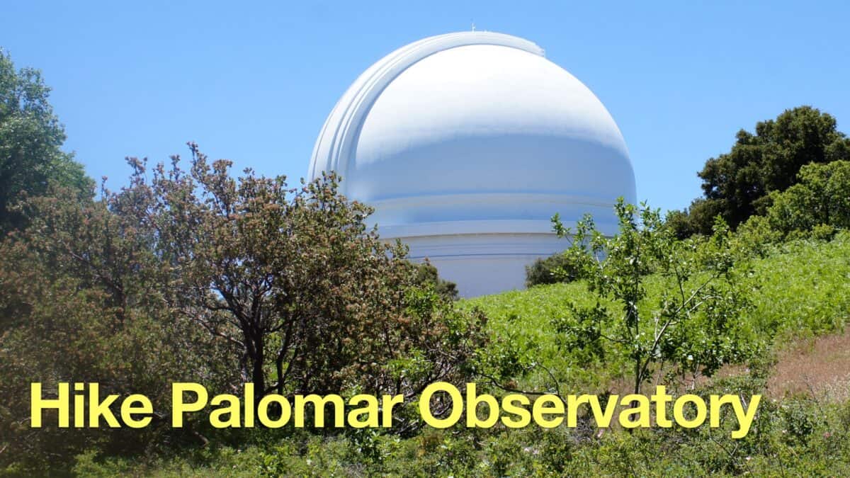 Palomar Mountain Observatory Trail
 Hiking San Diego
Popular Guides
 Best Hiking Gear 2024
 Hiking Boots or Shoes: Do I Really Need Hiking Boots?
 When to Hit SOS on inReach
This Guide Was Written by Cris Hazzard

Hi, I'm Cris Hazzard, aka Hiking Guy, a professional outdoors guide, hiking expert, and author based in Southern California. I created this website to share all the great hikes I do with everyone else out there. This site is different because it gives detailed directions that even the beginning hiker can follow. I also share what hiking gear works and doesn't so you don't waste money. I don't do sponsored or promoted content; I share only the gear recommendations, hikes, and tips that I would with my family and friends. If you like the website and YouTube channel, please support these free guides (I couldn't do it without folks like you!). You can stay up to date with my new guides by following me on YouTube, Instagram, or by subscribing to my monthly newsletter.