
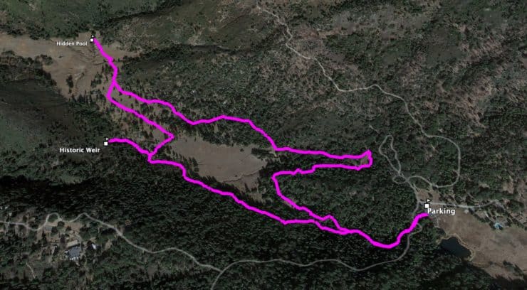
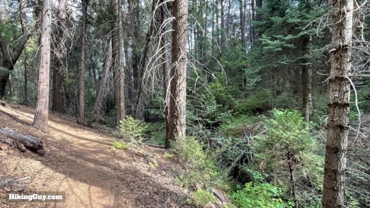
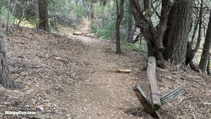
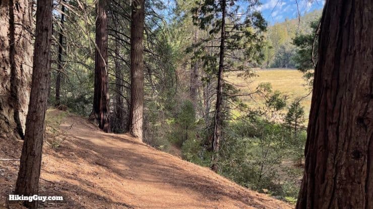
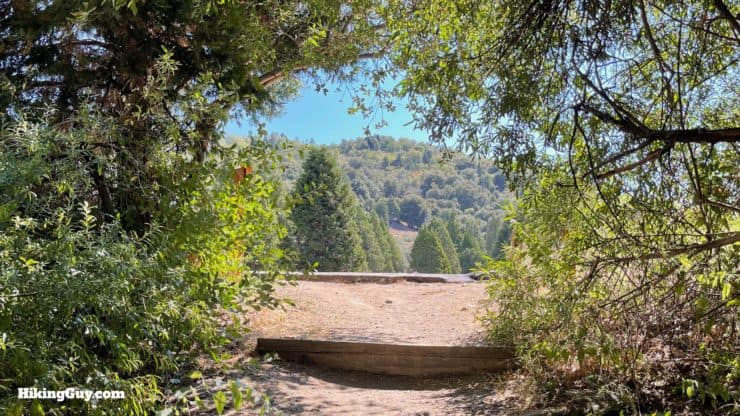
The hike through Lower Doane Valley and French Valley at Palomar Mountain State Park is a gem; every twist and turn offers something natural and beautiful. You'll follow the lush Doane Creek, hike through groves of giant trees, across mountain meadows, visit a historic weir, and find a hidden pool of French Creek. There are ups and downs, but no big mountain climbs on this short 4 mile hike.
- Video and Turn-by-Turn Directions for the Lower Doane Valley and French Valley Hike
- How to Get to the Lower Doane Valley and French Valley Hike
- Insider Tips and Recommendations
Doane is pronounced doe-n.
Where is the Lower Doane Valley and French Valley Hike?
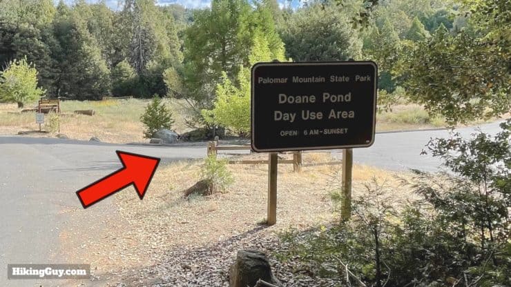
The hike is located in Palomar Mountain SP. Drive into the park and follow the signs for Doane Pond. There's also a (private) retreat by the pond that might be more GPS-friendly. Use this trailhead address:
Camp Palomar, 34798 Doane Valley Rd, Palomar Mountain, CA 92060
There is an entry fee to enter Palomar Mountain State Park.
Gear For the Hike
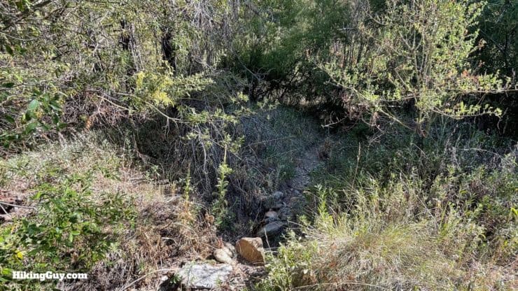
While not long, this is a hike through the backcountry. The trail is overgrown in places; having long pants will protect your legs. In the summer, insects can be intense, bring repellant. And in the winter, this can all be covered with snow. Check the weather before you go.
Gear That I Love Right Now
Nothing is sponsored or promoted, just the actual gear that I use.


Check out the complete list here. ( Updated July 2024)
Lower Doane Valley and French Valley Trail Maps
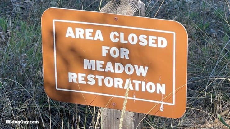
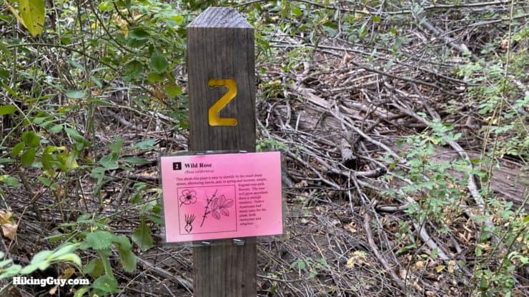
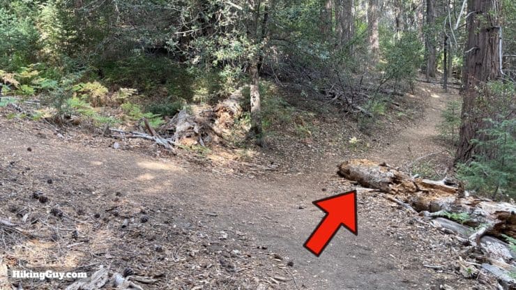
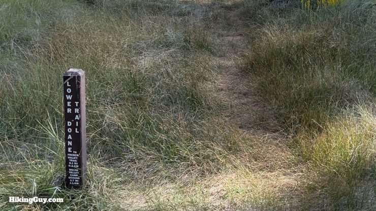
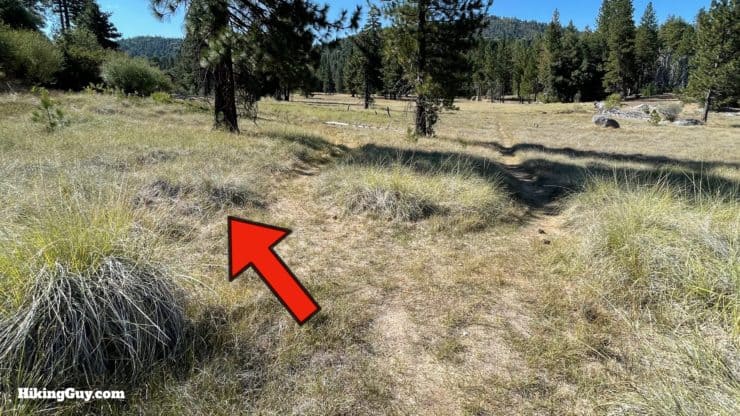
The trails on this hike are relatively easy to follow, and there are trail markers and signs along the way. That said, some maps include trails that are no longer there or that are closed for restoration. Following the maps from this guide will keep you on the official trails. There's also a handy map that the park gives out that's worth saving on your phone.
How Will You Navigate?
 Using the Apple Watch for Hiking
 Garmin Fenix 7 & Epix Review For Hikers
 How To Read a Topographic Map
 Garmin GPSMAP 67i Review
3D Map
Who's Doane?
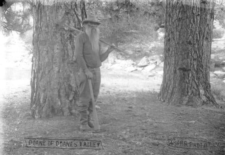
- Doane's forefathers were one among the first English settlers, arriving in Plymouth in 1630, just 10 years after the Mayflower first landed.
- Originally from the San Jose area, George Edwin Doane lived several years around San Diego before getting a homestead for the valley in 1885.
- In 1894 Doane started advertising for campers on his property. The fee was $0.15 a night.
- Known to be social and humorous, Doane became as much as an attraction as the beautiful surroundings. He would host bonfires, tell stories of mountain life, and bake cakes and treats.
- And now the not so charming part. In 1904, at the age of 53, he married a 16 year old from Texas that he met through a matrimonial magazine (yes, a mail order bride). The marriage lasted ten years before divorce. Shortly after that, Doane was arrested on charges of raping a 12 year old girl. The charges were dropped after Doane paid the girl $1500 cash.
- With his reputation tarnished, Doane moved to a town by the Mexican border, then traveled to South America, where he planned on staying. He lasted a few months before sailing back the USA, this time to New York City.
- Doane became the celebrity mountain man in New York, with his long beard and wilderness pedigree. He was interviewed in several newspapers and well-known.
- From there, it's a bit anti-climatic. Doane lived in New Mexico, and then passed away at the age of 78 in the area where he was born, San Jose, of pneumonia.
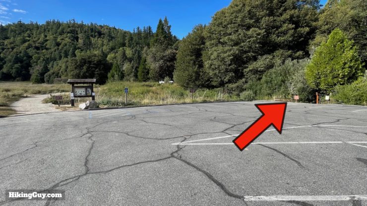
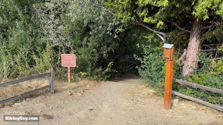
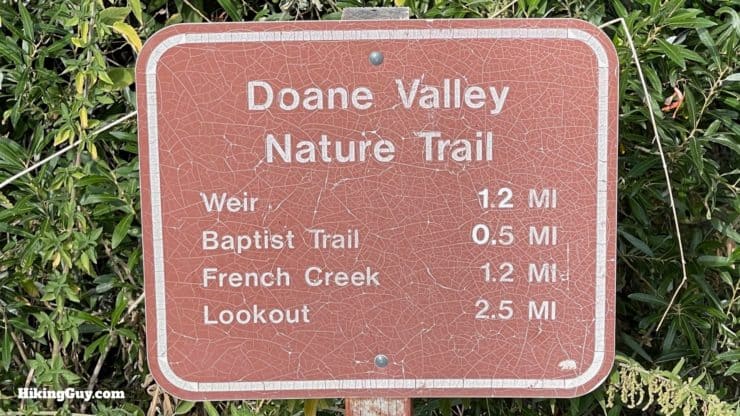
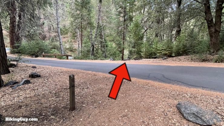
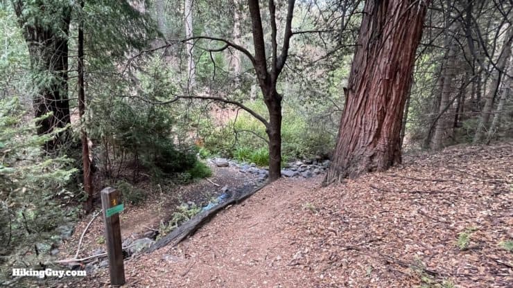
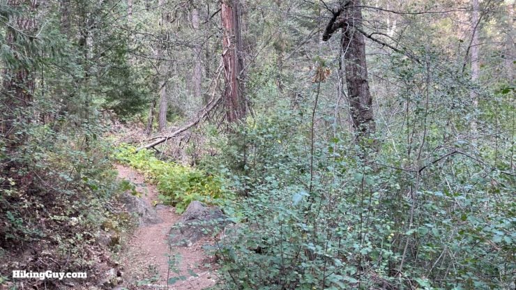
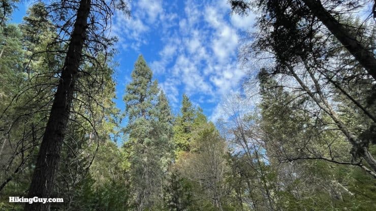
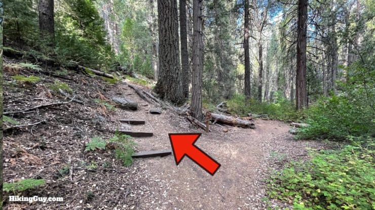
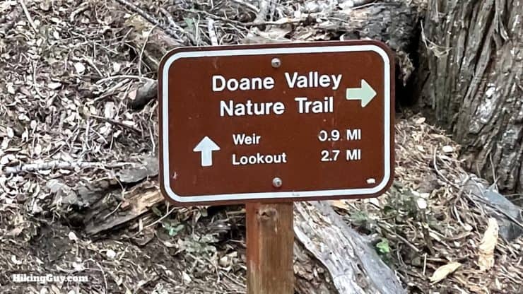
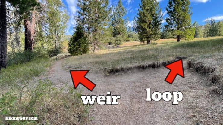
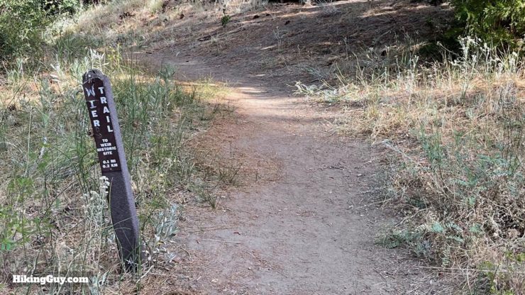
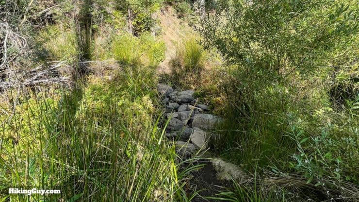
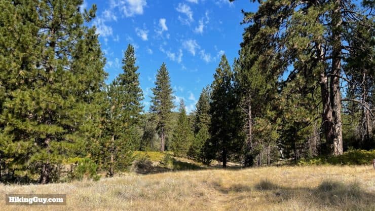
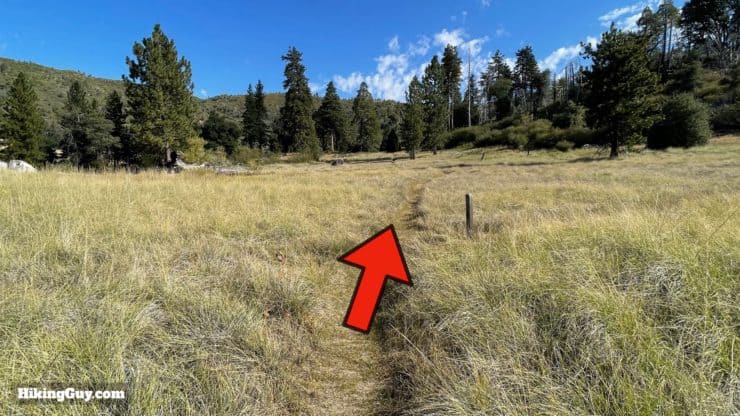
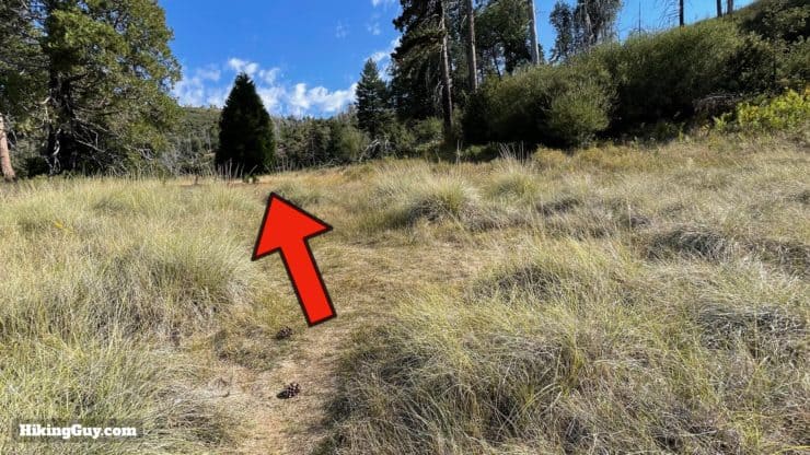
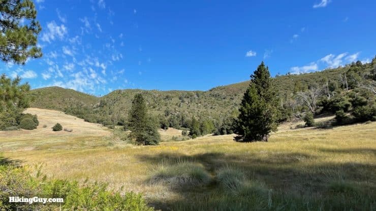
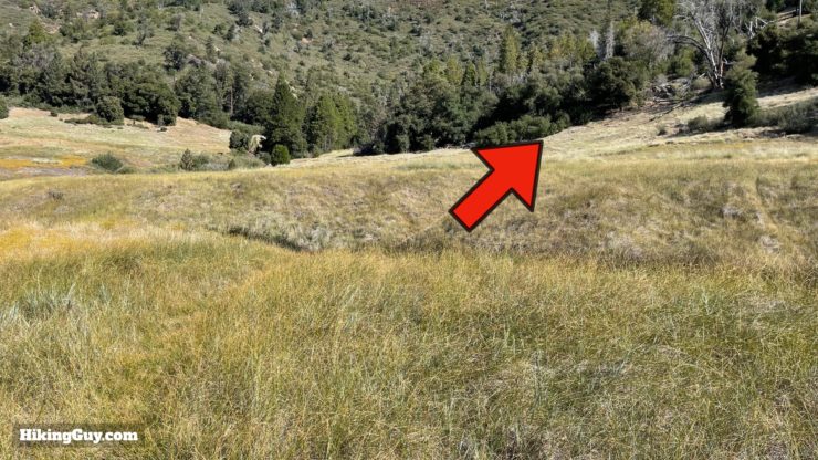
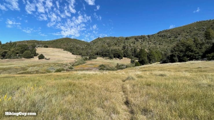
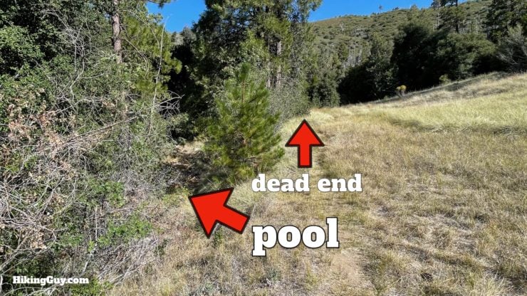
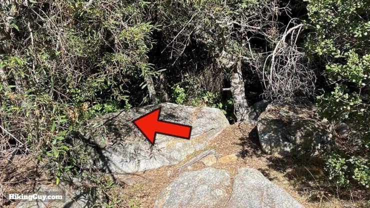
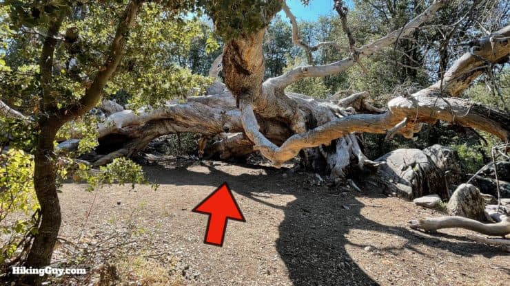
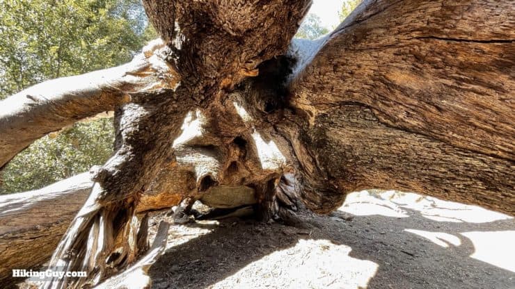
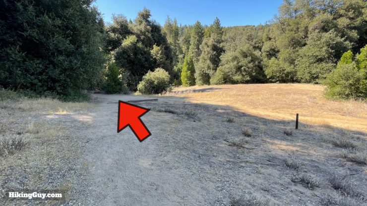
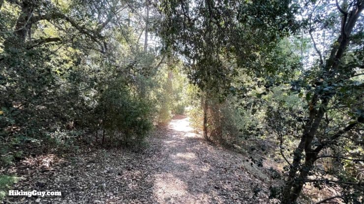
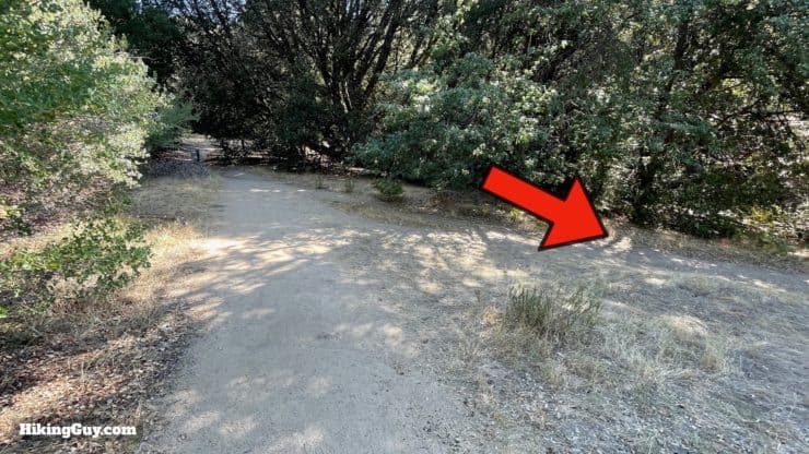
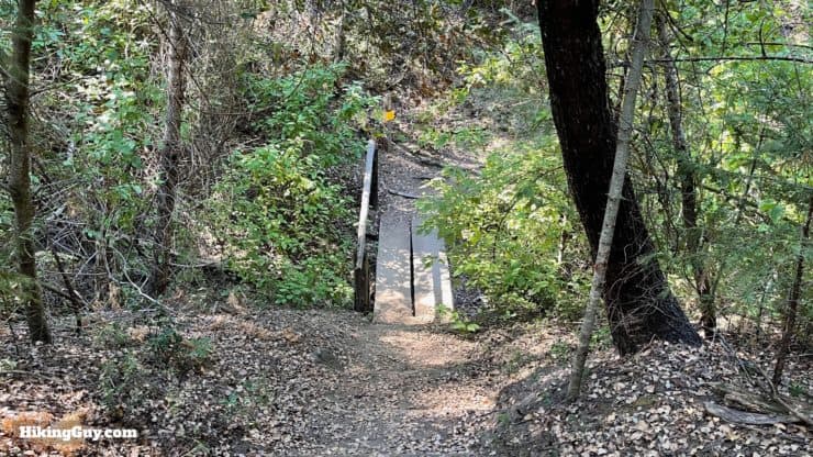
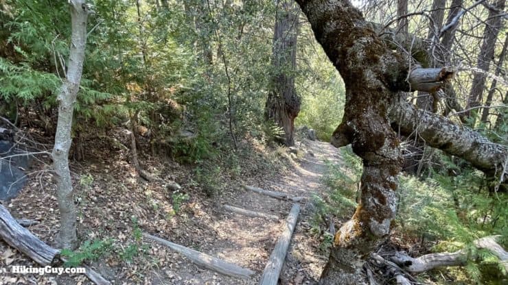
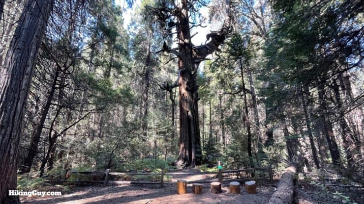
Lower Doane Valley and French Valley Hike Directions
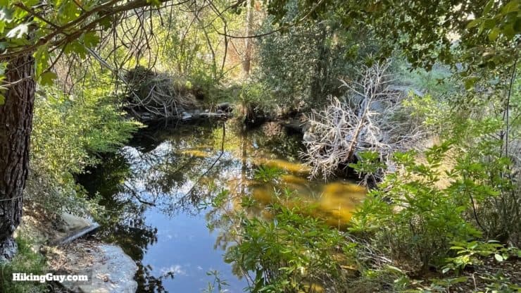
Keep your eyes open for banana slugs along the water and rocks. They are found widely in the Pacific Northwest down to the Sierras, but not in SoCal, except in this isolated pocket of Palomar State Park. This moist area is a good spot to catch a glimpse of one.
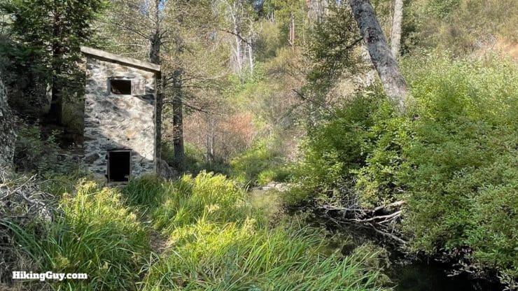
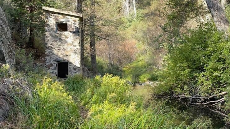
The weir (a low or small dam) and the building, which is called a gauging station, were built in the early 1900 hundreds. They were built by Pacific Light and Power Company to determine if there was enough water flow to support a hydroelectric generator and reservoir in Doane Valley. The power station would provide electric power for trains in the lowlands. It never happened.
French Valley is named after Hubert and Jean Baptiste Foussat, homesteaders and sheep farmers who lived here in the 1880s.


Need More Info?
- Have a question about the guide? Join my Patreon and ask me a question.
- When planning, always check the park website and social media to make sure the trails are open. Similarly, check the weather and road conditions.
- Do you have an update to this guide? View the Youtube comments for this video. Leave a comment and I will do my best to update the guide.
Related Guides
 Palomar Mountain Observatory Trail
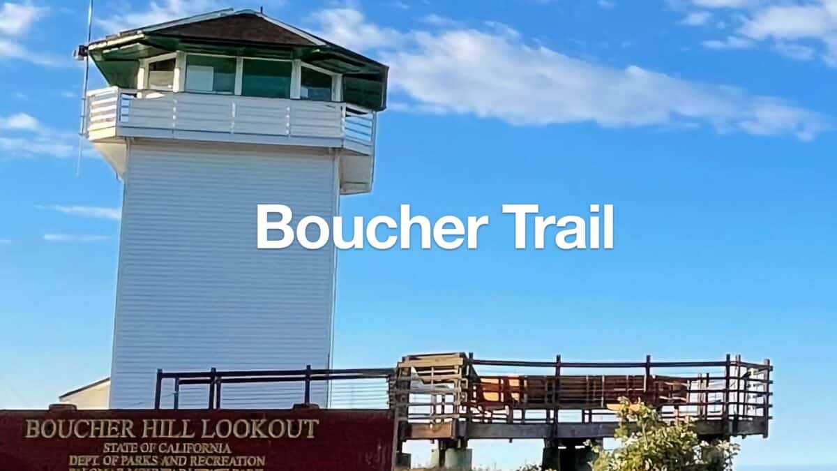 Boucher Fire Tower Loop (Palomar Mountain)
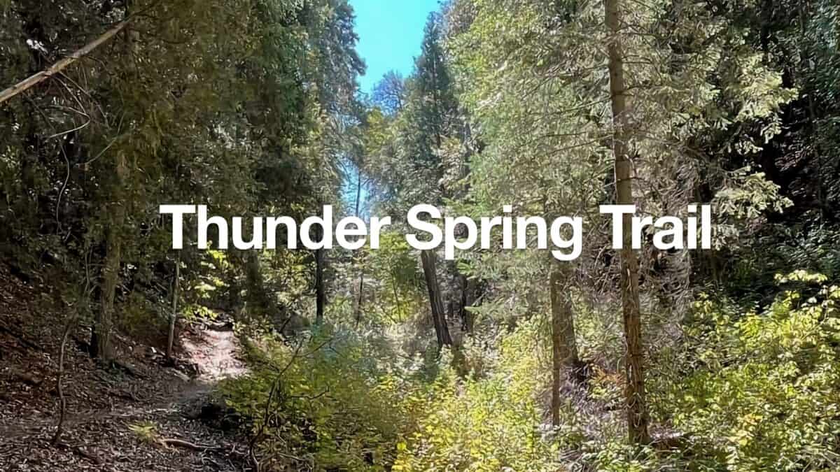 Thunder Spring Trail Loop
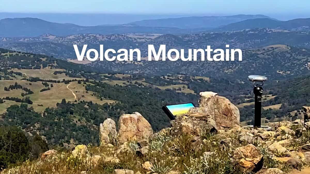 Volcan Mountain Trail Guide
 Hiking San Diego
Popular Guides
 Best Hiking Gear 2024
 Hiking Boots or Shoes: Do I Really Need Hiking Boots?
 When to Hit SOS on inReach
This Guide Was Written by Cris Hazzard

Hi, I'm Cris Hazzard, aka Hiking Guy, a professional outdoors guide, hiking expert, and author based in Southern California. I created this website to share all the great hikes I do with everyone else out there. This site is different because it gives detailed directions that even the beginning hiker can follow. I also share what hiking gear works and doesn't so you don't waste money. I don't do sponsored or promoted content; I share only the gear recommendations, hikes, and tips that I would with my family and friends. If you like the website and YouTube channel, please support these free guides (I couldn't do it without folks like you!). You can stay up to date with my new guides by following me on YouTube, Instagram, or by subscribing to my monthly newsletter.