
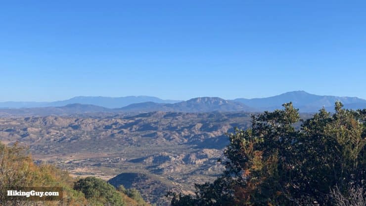
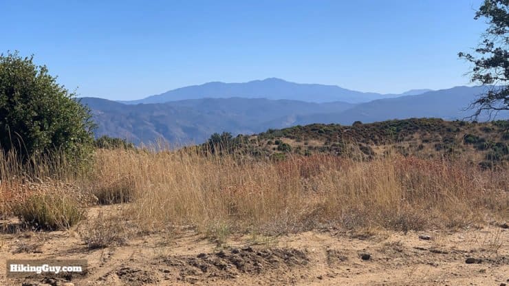
The 13.5 mile Oak Grove Trail to High Point hike starts in historic Warner Springs and gently makes it's way up to one of the only active fire towers in San Diego County, which also happens to be the tallest fire tower in California. On the way you'll be rewarded with panoramic views of San Diego County and the high mountains of Southern California. The hike is not too technical and includes fire roads, but it is still a decent challenge with a fair amount of climbing.
- Oak Grove Trail to High Point Hike Directions
- Oak Grove Trail Maps
- Gear & Prep For the Hike
Getting to the Trailhead
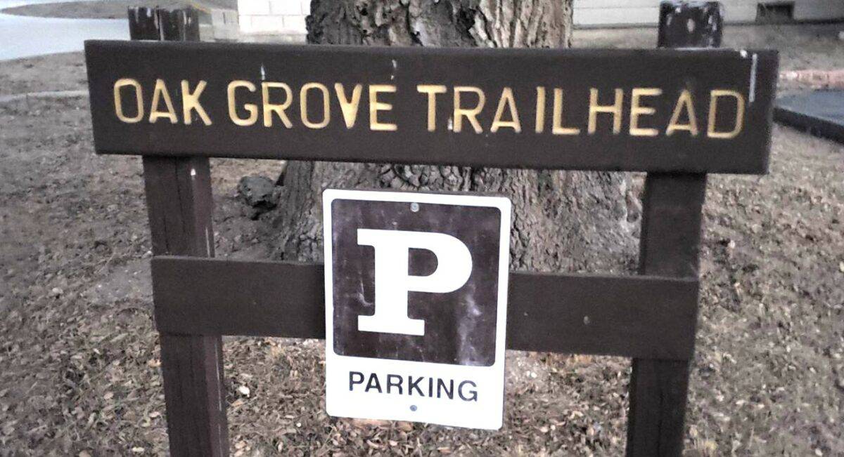
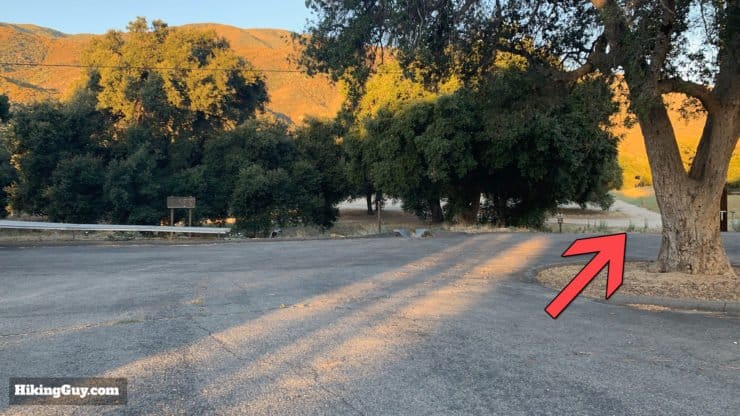
The trickiest part of the hike is finding parking and then getting to the "trail trail" from the parking lot. I'll talk about getting to the trail in the directions section, but first let's get the car parked.
Use this trailhead address:
USDA Forest Service Oak Grove Fire Station, Warner Springs, CA 92086
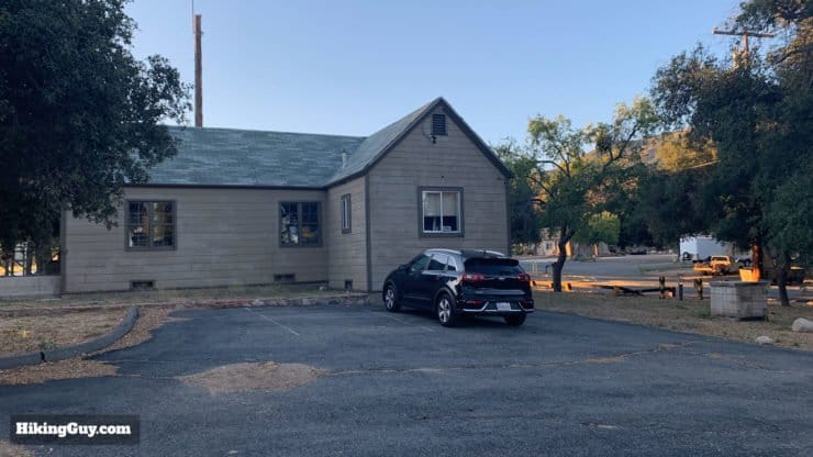
The trailhead parking is across the street from the Oak Grove Campground, and just north of the actual Oak Grove Fire Station.
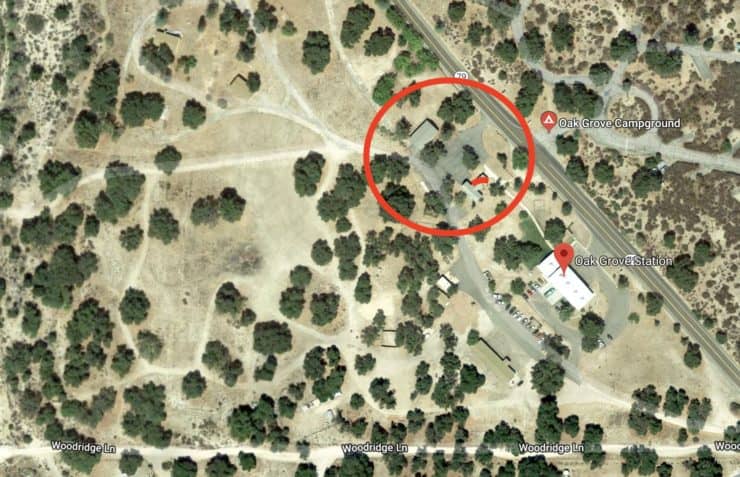
You need to display a Parks Pass or Adventure Pass to park here.
Gear For the Hike
It's a long hike and I'd recommend proper hiking gear. There's very little shade, so prepare accordingly. I bring 3L of water; there's nowhere to refill on the route. There can also be bugs so a head net and repellant are good to have. And like many of the peaks around San Diego, it can get very hot in the summer and it can snow in the winter, although it's generally snow-free.
Gear That I Love Right Now
Nothing is sponsored or promoted, just the actual gear that I use.


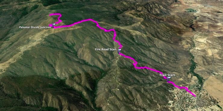
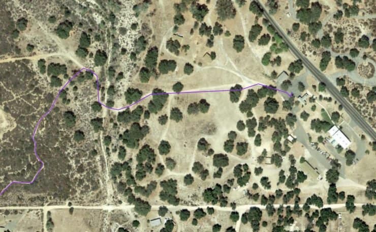
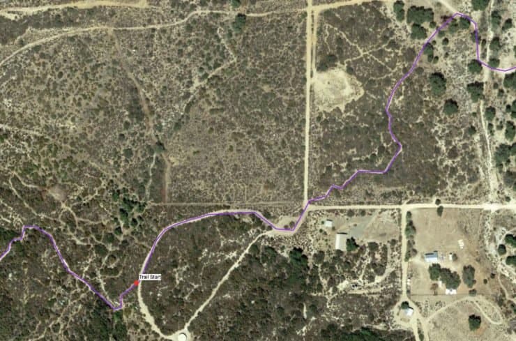
Oak Grove Trail to High Point Trail Maps
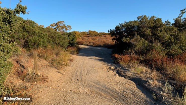
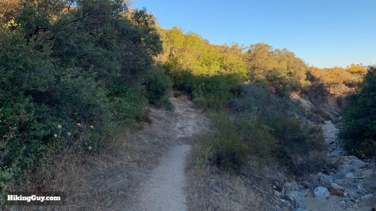
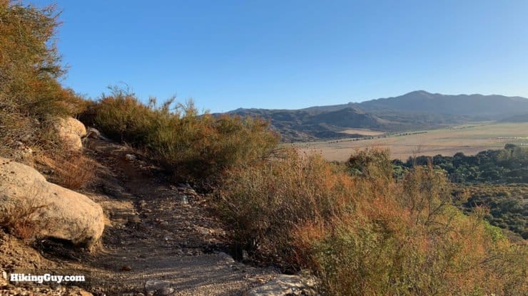
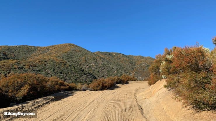
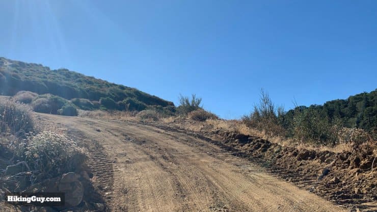
You get a little bit of everything on these trails. The beginning winds through some residential areas, then there's a primitive trail commonly find in Cleveland NF, and then fire roads. I don't normally enjoy hiking fire roads but the views on this route make it a pleasure.
How Will You Navigate?
 Using the Apple Watch for Hiking
 Garmin Fenix 7 & Epix Review For Hikers
 How To Read a Topographic Map
 Garmin GPSMAP 67i Review
Elevation Profile
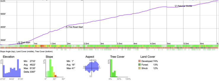
Hike Landmarks
| Landmark | Distance | Elevation |
|---|---|---|
| Parking | 0 | 2750 |
| Trail Start | 0.6 | 2850 |
| Fire Road Start | 2.0 | 4200 |
| Palomar Divide Road | 5.4 | 5600 |
| High Point | 6.5 | 6140 |
3D Trail Map
Hike Notes
- The hike starts in Warner Springs, which seems like it's in the middle of nowhere, but actually has a lot of interesting history.
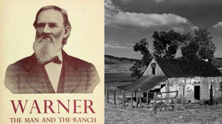
- Warner Springs is named after Juan Jose Warner, who was originally born in Connecticut as Jonathan Trumbull Warner (1807) but changed his name after becoming a Mexican citizen. At the age of 23 he was diagnosed as an "invalid" and decided to prove the doctors wrong by heading out west on a wagon train. He worked in a Los Angeles merchandise store for several years, saving his money, and then secured a land grant from the Mexican government in this area. On that grant he built the ranch and town of Warner Springs. In 1847 when the USA took California from Mexico, the only ones who fared worse than the Mexicans were the local Cupeño tribes. The US government tried to tax the Cupeño, which triggered violent uprisings. And then an earlier claimant to the land sued Warner and got it back. It was all too much for Warner, who moved to LA where he became a politician. You can read JJ Warner's account of his time in the West here.
- Warner Springs was an important stop for wagon-train emigrants in the mid-1800s. The springs were at the end of a long desert section of the Gila Trail, a popular route that most emigrants to Southern California took. Warner Springs was the first place where they could find water and respite from the long desert crossing. It was also the split where those heading to LA went north, and those heading to San Diego went west.
- During the Civil War the Union built Camp Wright here to protect the Gila Trail. There were actually some battles fought in Warner Springs between the Union and Confederates lead by Daniel Showalter. The nearby Stonewall Peak also has some Confederate history.
- The Oak Grove trailhead is near the site of the Oak Grove Butterfield Stage Station, a stop on one of the most important transportation routes in the settlement of Southern California.
- In 1901 the US Government evicted the Cupeño and they were forcibly moved to a nearby reservation on the “Cupeño Trail of Tears.”
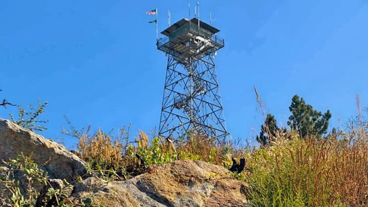
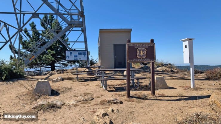
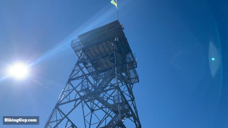
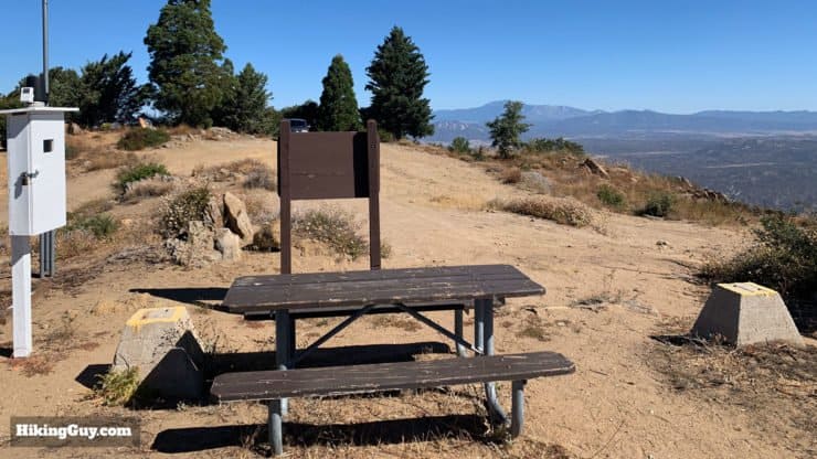
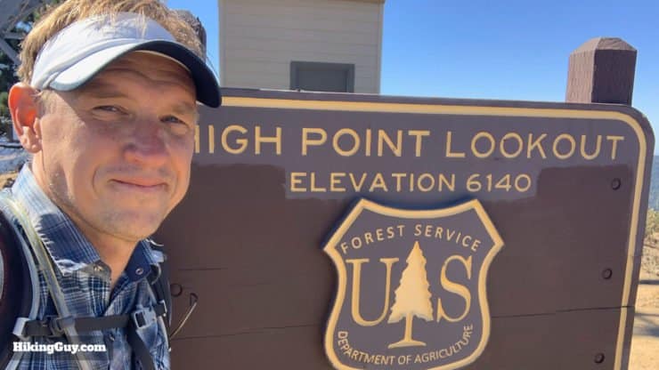
- The fire tower at High Point is a cool one. First built in 1935 for the US Forest Service, the tower was rebuilt in 1964 and is now the tallest fire tower in California. The tower is staffed by volunteers of the San Diego-Riverside Forest Fire Lookout Association (FFLA).
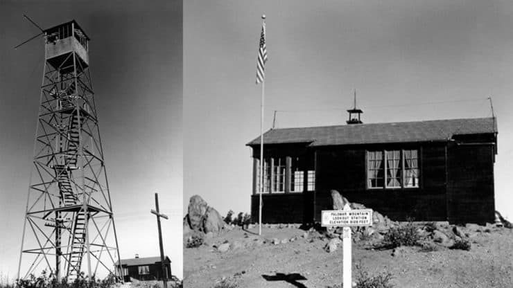
Here's what the fire tower looked like in 1935. - You can't climb up the tower, but you can talk with the friendly folks who do the fire watch. They usually say hello when hikers come up the mountain.
- "High Point" refers to the fact that the tower sits on the highest point of Palomar Mountain.
- Volunteers in the tower do 8-hour watches and are required to do a 360-degree scan every 15 minutes. If they spot a smoke plume they use an Osborn Fire Finder to pinpoint the location and then call it into fire dispatchers.
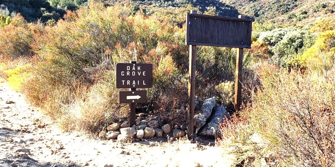
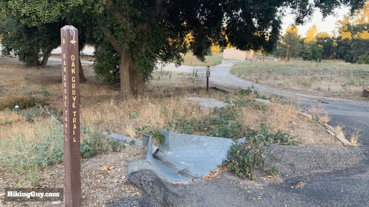
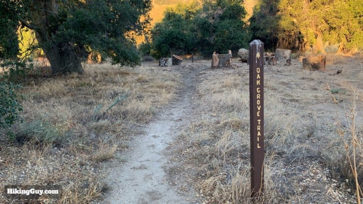
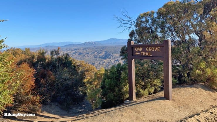
- The Oak Grove Trail, where the hike starts, is the oldest established trail on the Palomar Ranger District of Cleveland National Forest.
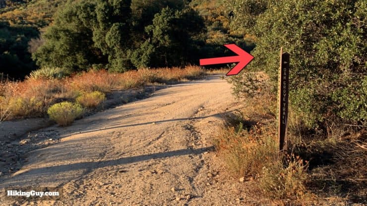
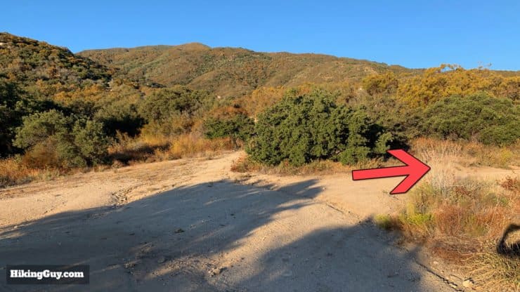
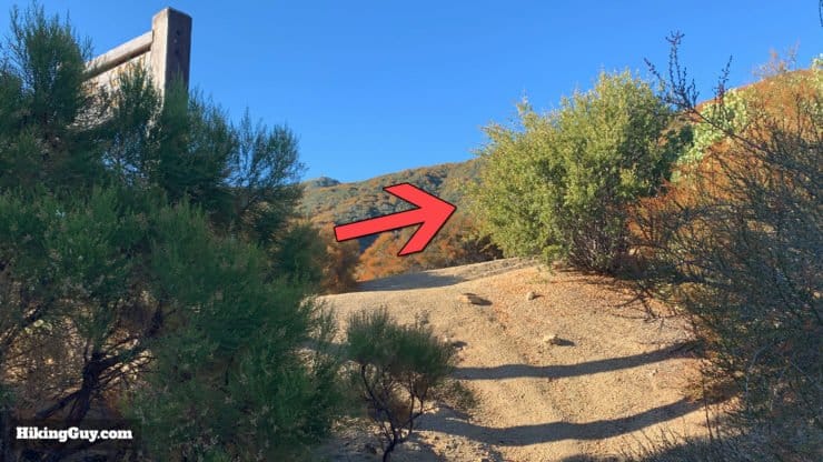
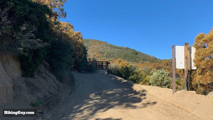
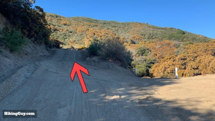
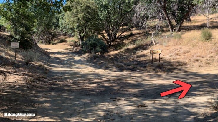
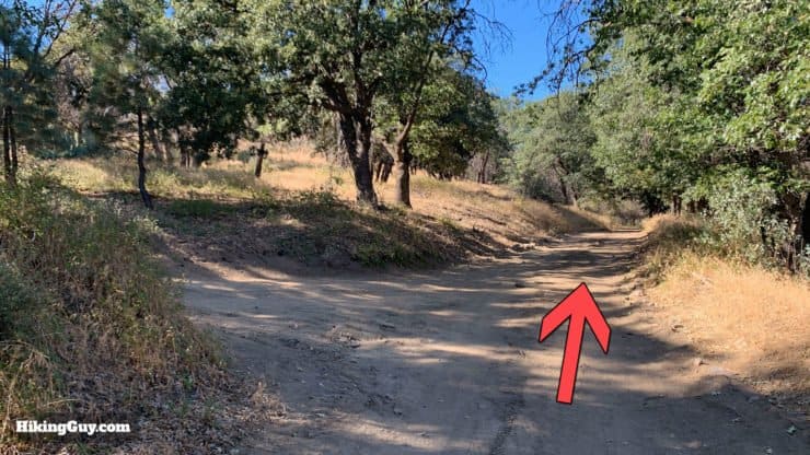
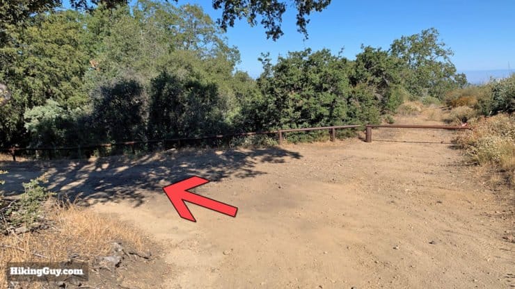
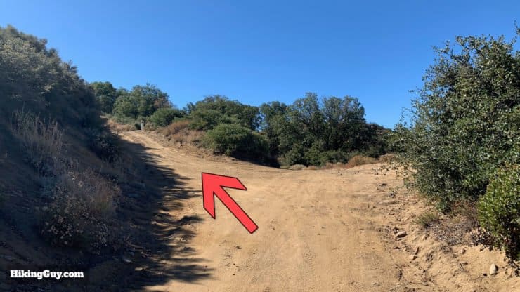
How To Hike to High Point From Oak Grove
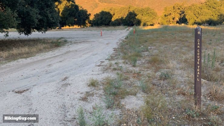
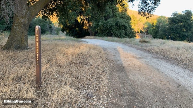
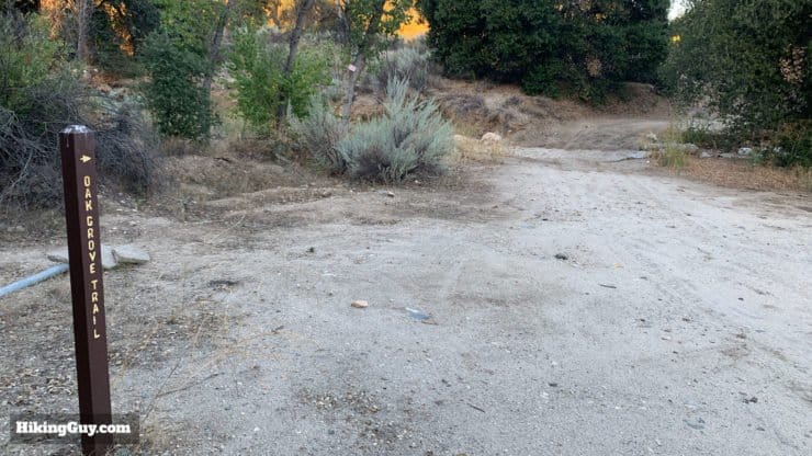
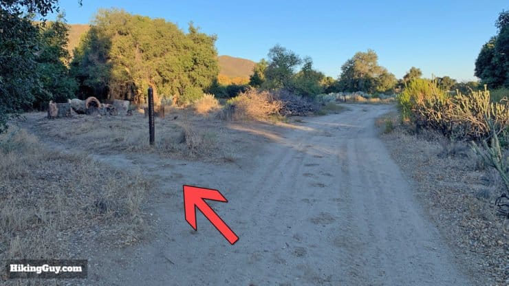
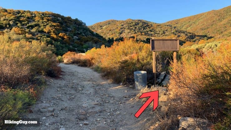
The beginning of the hike can be the trickiest. Luckily it's well marked with trail signs, but it doesn't feel like a hike as you wind your way through a small residential area. This area houses the local Hotshots fire-fighting team.


Need More Info?
- Have a question about the guide or want to see what other people are saying/asking? View the Youtube comments for this video. Leave a comment and I will do my best to respond.
- When planning, always check the park website and social media to make sure the trails are open. Similarly, check the weather and road conditions.
Related Guides
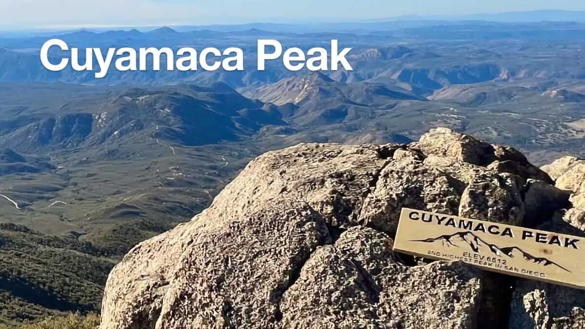 Hike Cuyamaca Peak
 Tahquitz Peak via Devil's Slide Trail Hike
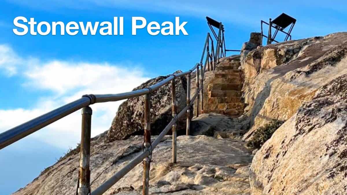 Hiking Stonewall Peak Trail
 Black Mountain Trail to the Fire Lookout (Idyllwild, CA)
 Palomar Mountain Observatory Trail
 Eagle Rock Hike on the PCT (San Diego)
 Hiking San Diego
 Cleveland National Forest Hiking
Popular Guides
 Best Hiking Gear 2024
 Hiking Boots or Shoes: Do I Really Need Hiking Boots?
 When to Hit SOS on inReach
.jpg)
This Guide Was Written by Cris Hazzard

Hi, I'm Cris Hazzard, aka Hiking Guy, a professional outdoors guide, hiking expert, and author based in Southern California. I created this website to share all the great hikes I do with everyone else out there. This site is different because it gives detailed directions that even the beginning hiker can follow. I also share what hiking gear works and doesn't so you don't waste money. I don't do sponsored or promoted content; I share only the gear recommendations, hikes, and tips that I would with my family and friends. If you like the website and YouTube channel, please support these free guides (I couldn't do it without folks like you!). You can stay up to date with my new guides by following me on YouTube, Instagram, or by subscribing to my monthly newsletter.