

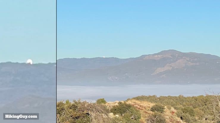
The Eagle Rock hike, near San Diego in Warner Springs, is an easy adventure on the legendary PCT (Pacific Crest Trail). You'll meander up a babbling brook in the shade of oaks, and then cross grasslands offering views of San Diego County's high points. At the end, you are treated to Eagle Rock, perched on a hillside and overlooking this remote area. Overall Eagle Rock is a great hike with lots of payoff for not much effort.
- Eagle Rock Hike Video and Turn-by-Turn Directions
- Where to Park for the Eagle Rock Hike in San Diego County
- Insider Tips and Recommendations
Where is the Eagle Rock Hike?
First of all, there are dozens of Eagle Rocks, with a few being in Southern California, so make sure you are going to the one in Warner Springs, CA. Warner Springs is pretty remote, and the services are limited. Use this trailhead address:
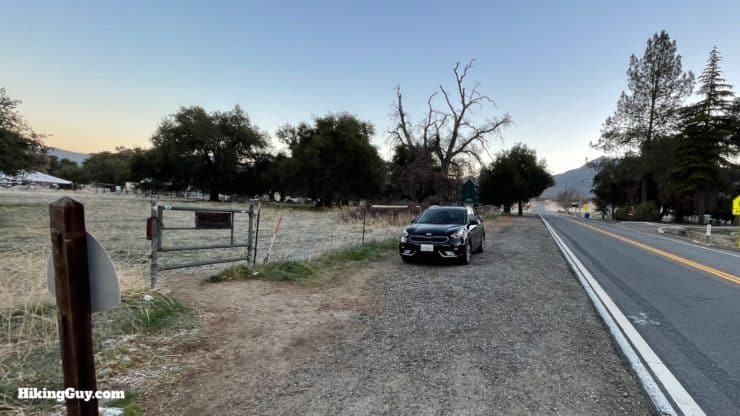
31049 CA-79, Warner Springs, CA 92086
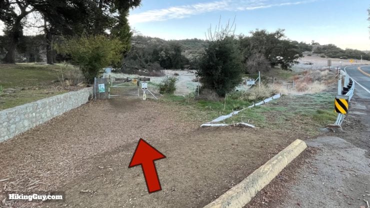
You are going to park across the street from the Cal Fire station on the side of the road. Don't park at the fire station or block their driveways. You might be saying "duh!" but after talking to some firefighters there, you'd be surprised at the dumb stuff that goes on with people parking.

There are no bathrooms at the trailhead or on the trail.
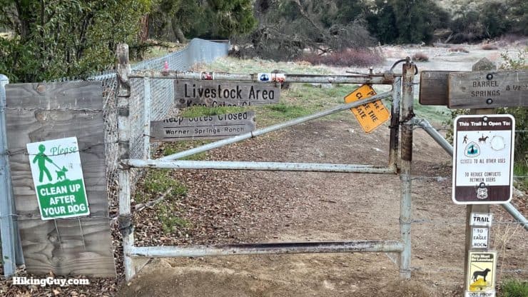
The land you are hiking on is mostly owned by the Vista Water District's Lake Henshaw area. It's not a public park, but you are permitted to hike here on the PCT.
Gear for the Hike
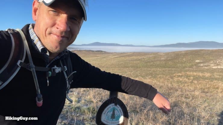
This is a mellow hike and there isn't too much that's technically challenging. In the summer, it can get hot and buggy, so prepare accordingly with insect repellant and at least 1L of water. And you might not realize it, but the trailhead is at over 3,000 feet, and it can get cold. On the day that I shot the photos for this guide, it was 25F when I started at the trailhead.
Gear That I Love Right Now
Nothing is sponsored or promoted, just the actual gear that I use.


Check out the complete list here. ( Updated July 2024)
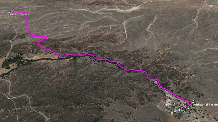
Eagle Rock via the PCT Trail Maps
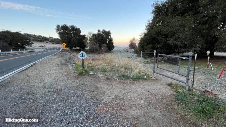
There's nothing too tricky about this hike. You start on the PCT and you end on the PCT. One thing you might notice is that the actual trail (as documented in the map and GPX file below) doesn't always fall nicely on the official trail line for the PCT. My guess is that the official trail line has been simplified and smoothed a bit.
How Will You Navigate?
 Using the Apple Watch for Hiking
 Garmin Fenix 7 & Epix Review For Hikers
 How To Read a Topographic Map
 Garmin GPSMAP 67i Review
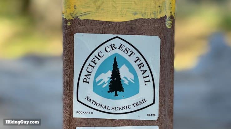
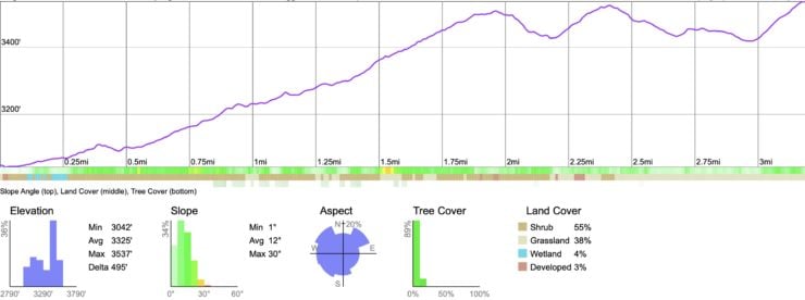
Elevation Profile
3d Map
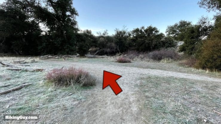
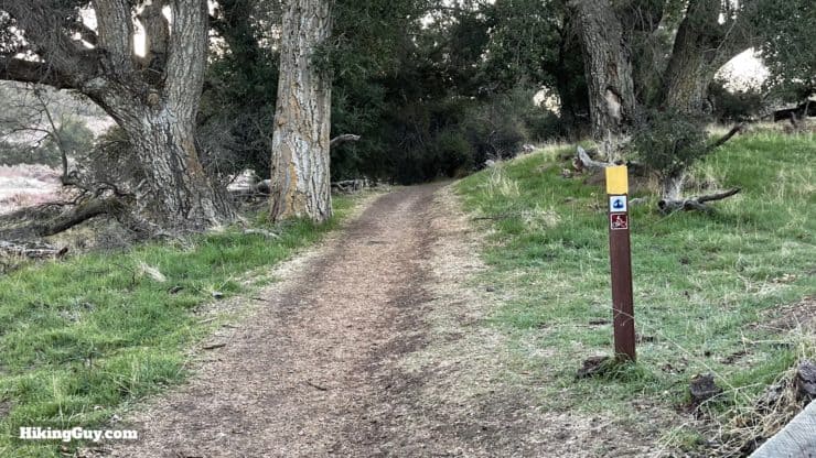
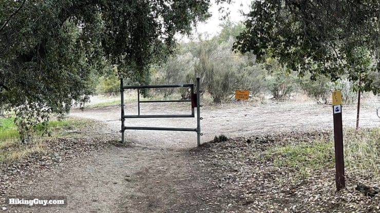
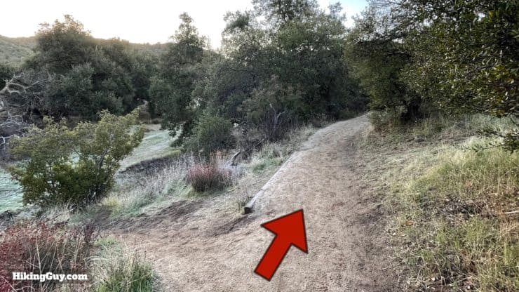
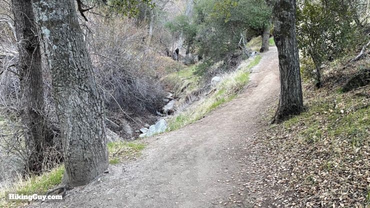
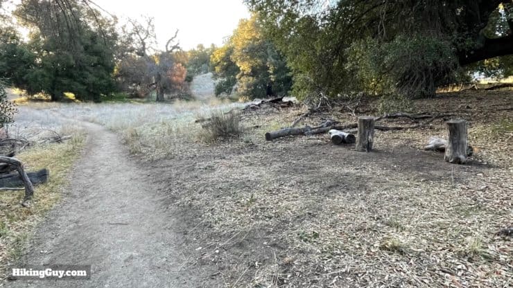
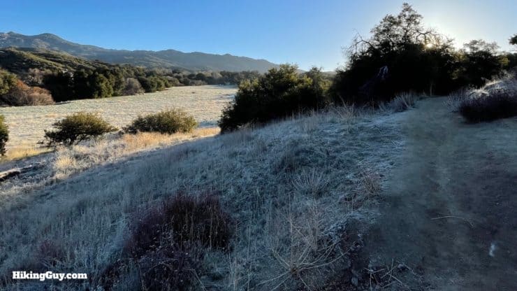
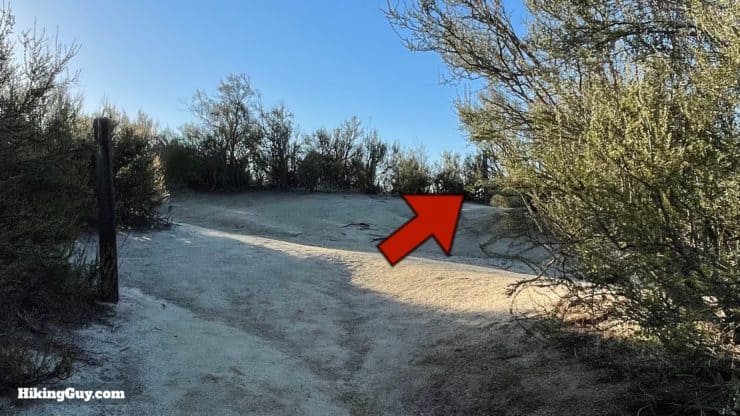
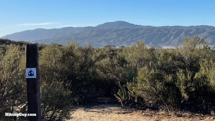
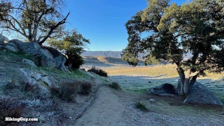
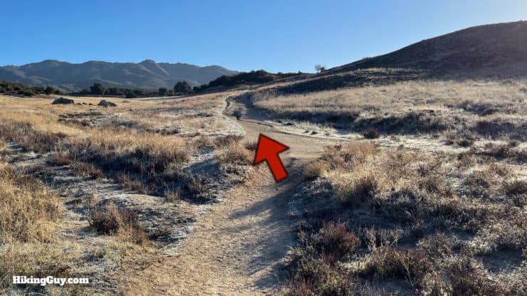
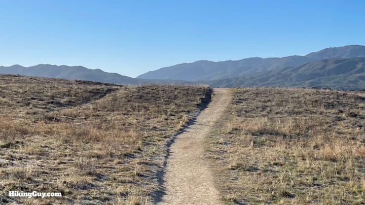
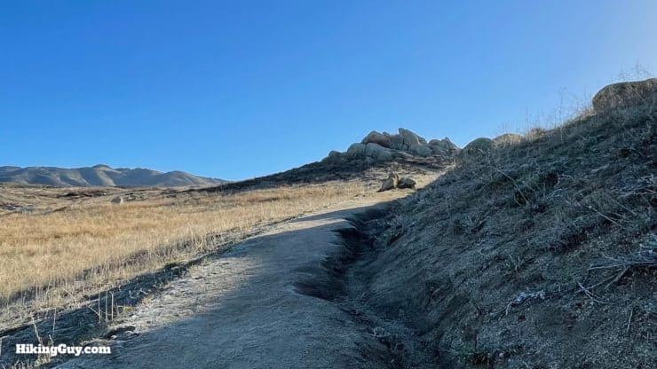
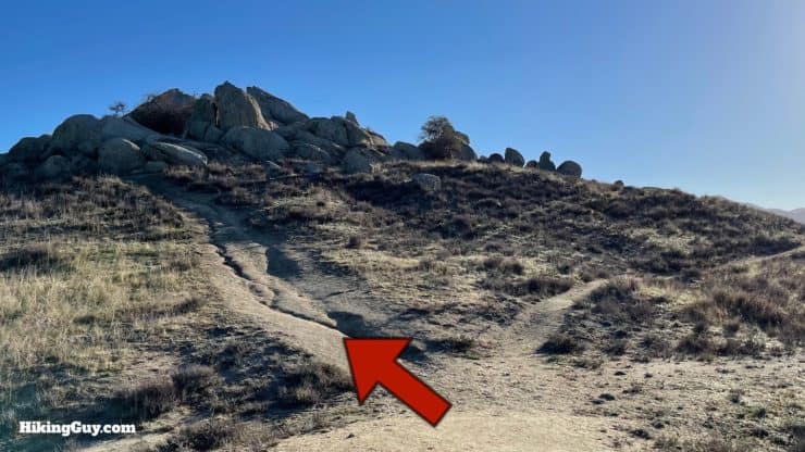
Eagle Rock (San Diego) Hike Directions
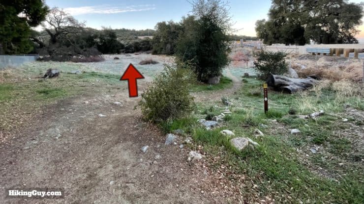
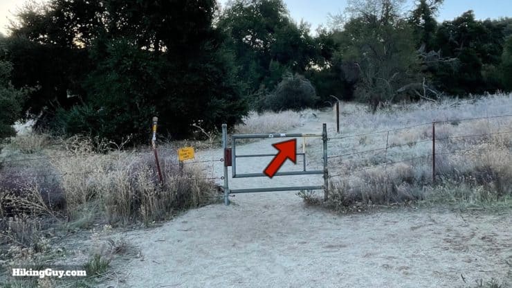
This area is a popular spot for PCT hikers to camp. The trail to the left in the last photo heads to the post office where PCT thru-hikers often resupply. If you want to learn more about the PCT, visit their website and watch the popular Darwin on the Trail videos documenting what hiking the whole thing is like.

Warner Springs has an interesting history. If that's your thing, read about it in my guide to the nearby Oak Grove Trail.

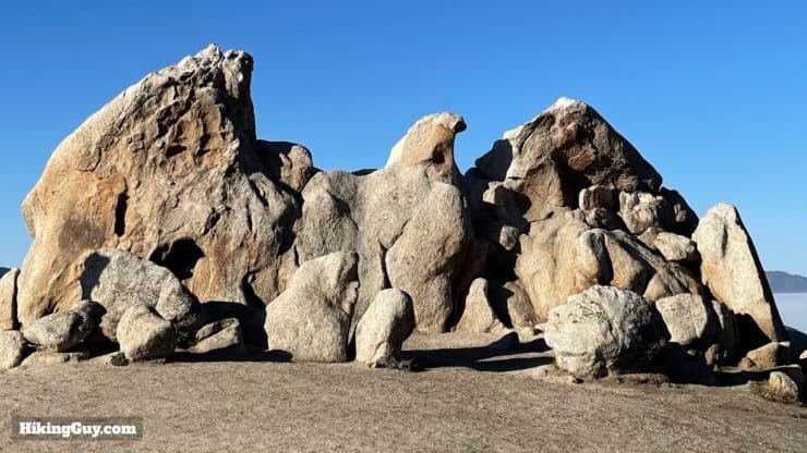
Please do not climb on Eagle Rock. The rock has cracks and at some point will break. Don't be the one makes the news because you destroyed this special place for a photo.
Need More Info?
- Have a question about the guide? Join my Patreon and ask me a question.
- When planning, always check the park website and social media to make sure the trails are open. Similarly, check the weather and road conditions.
- Do you have an update to this guide? View the Youtube comments for this video. Leave a comment and I will do my best to update the guide.
Related Guides
 Oak Grove Trail to High Point Hike
 Palomar Mountain Observatory Trail
 Cedar Creek Falls Trail Guide
 Hiking San Diego
Popular Guides
 Best Hiking Gear 2024
 Hiking Boots or Shoes: Do I Really Need Hiking Boots?
 When to Hit SOS on inReach
This Guide Was Written by Cris Hazzard

Hi, I'm Cris Hazzard, aka Hiking Guy, a professional outdoors guide, hiking expert, and author based in Southern California. I created this website to share all the great hikes I do with everyone else out there. This site is different because it gives detailed directions that even the beginning hiker can follow. I also share what hiking gear works and doesn't so you don't waste money. I don't do sponsored or promoted content; I share only the gear recommendations, hikes, and tips that I would with my family and friends. If you like the website and YouTube channel, please support these free guides (I couldn't do it without folks like you!). You can stay up to date with my new guides by following me on YouTube, Instagram, or by subscribing to my monthly newsletter.